The weekend saw a rubbish forecast but I needed to head out if I was to get post-covid strength back. Initial plans were foiled by the realisation that there was no early morning (necessary for walking daylight) Saturday bus to Braemar, the first only going as far as Ballater. A freezing south westerly would be blunted by forest: a return to Crannach hill, then descending into Glen Bardy into the wind and somewhere new.
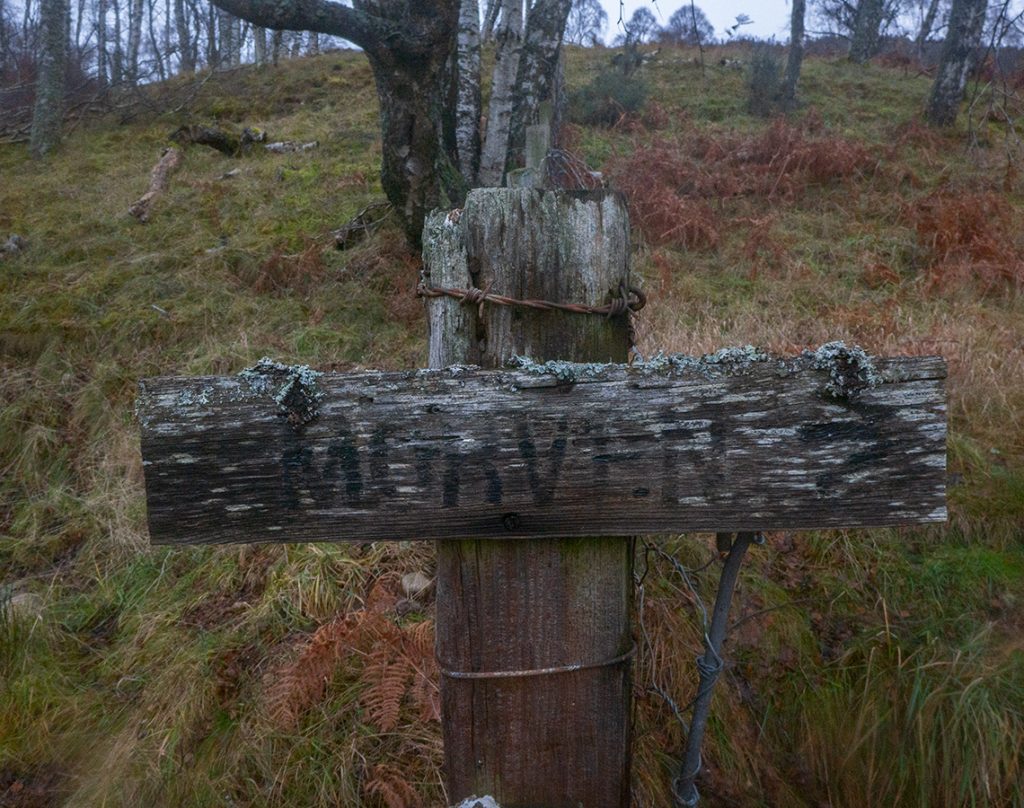
A handy layby at Tullich Kirk made for an easy bus stop, then off upwards past Braehead of Tullich farm to the Morven path. There was some minimal storm blockage, some had been cleared by some handy work with a chainsaw. A few frozen chanterelles were picked, and the burn explored, before I made off-path ascending the hill.
After the pond, I headed up and off track to the left and once on the main ‘ridge’ mostly just bang straight up the nose, cutting left and right to avoid small cliffs and fallen and nearly-fallen trees. I had to stop and faff layers as despite the cold and rain, it was steaming hot lurching through brush and over rocks. I was glad of taking a cap and the vents in my waterproof trousers and jacket.
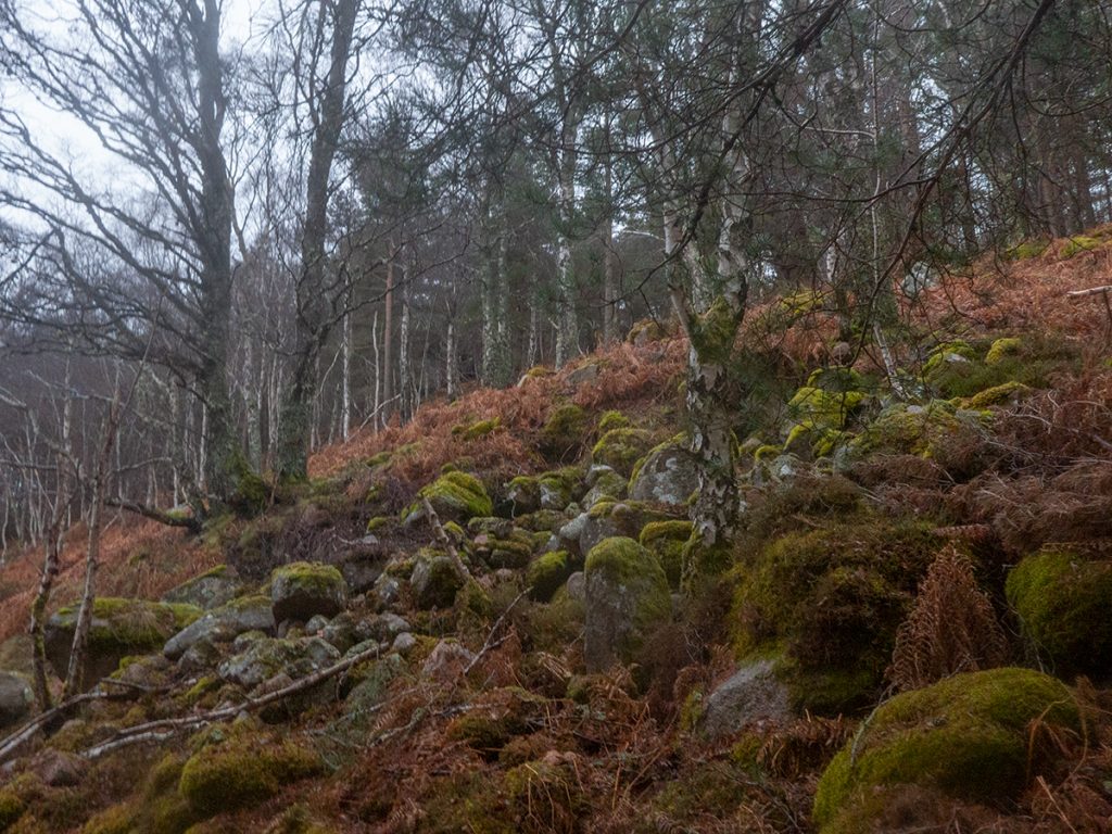
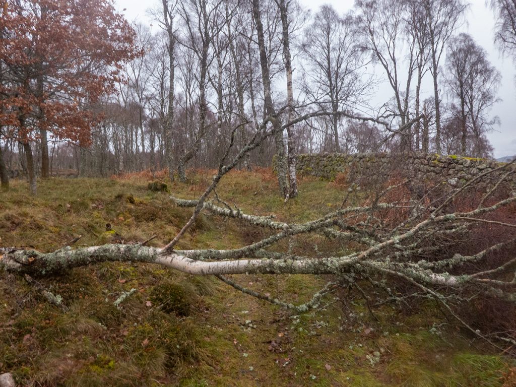
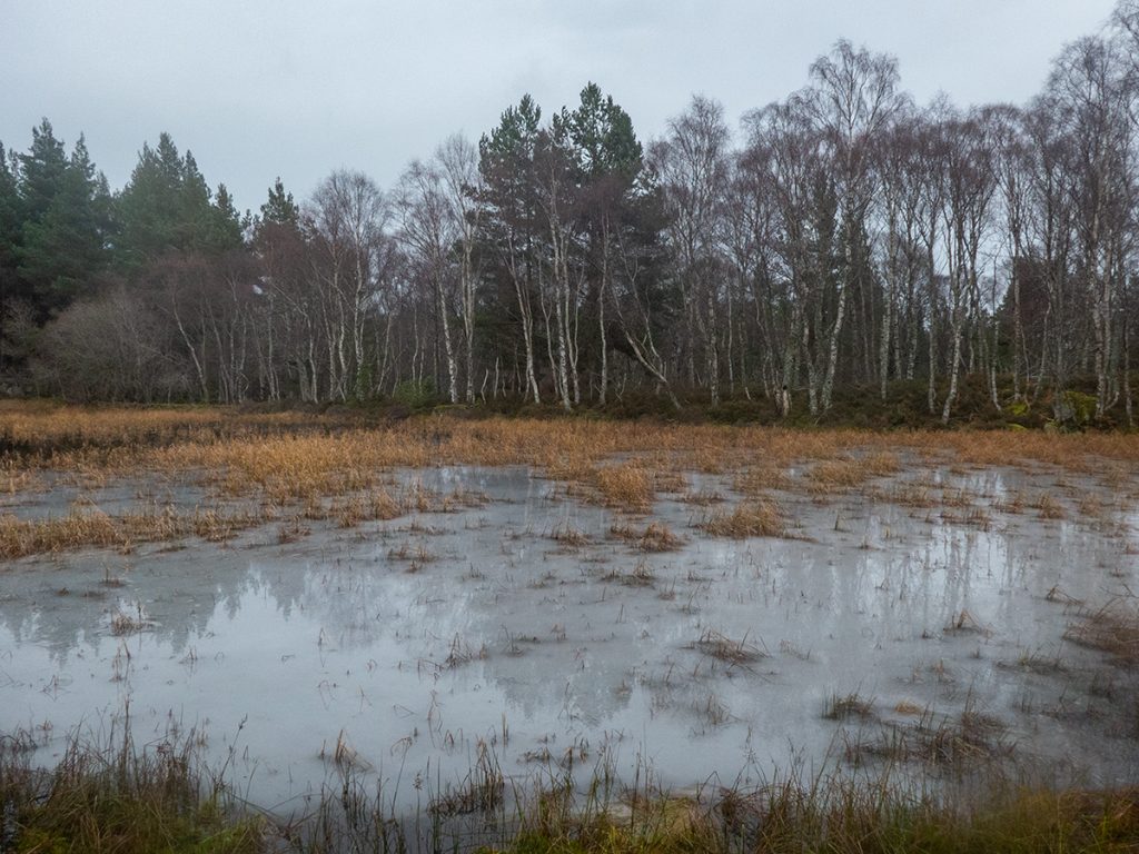
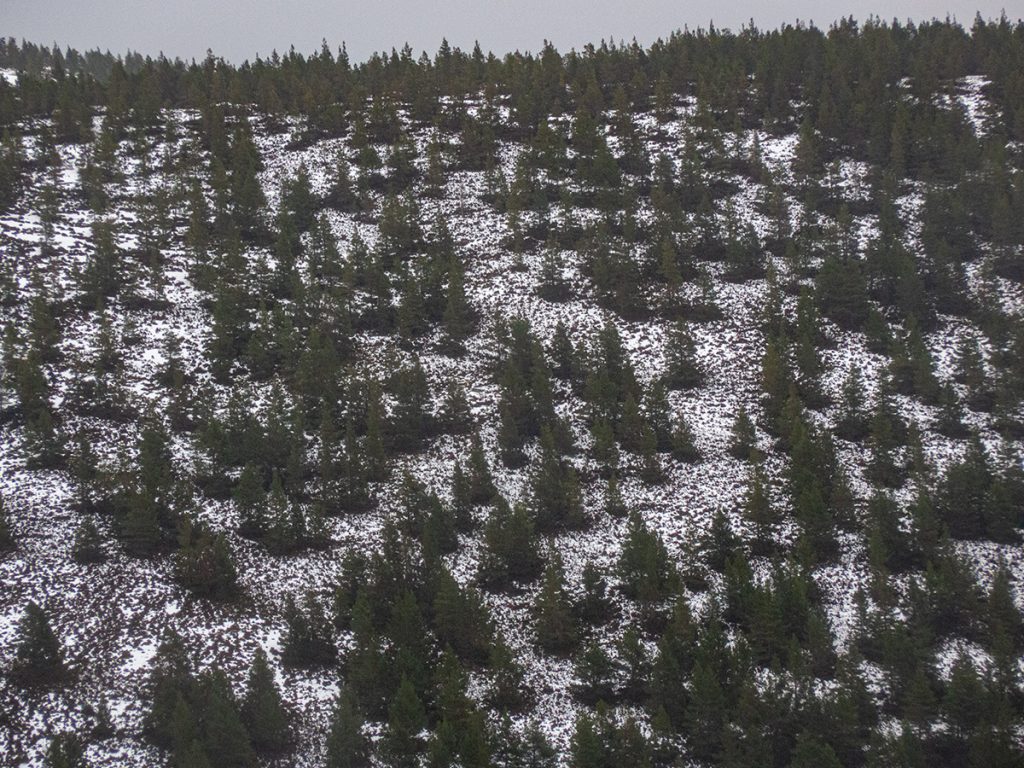
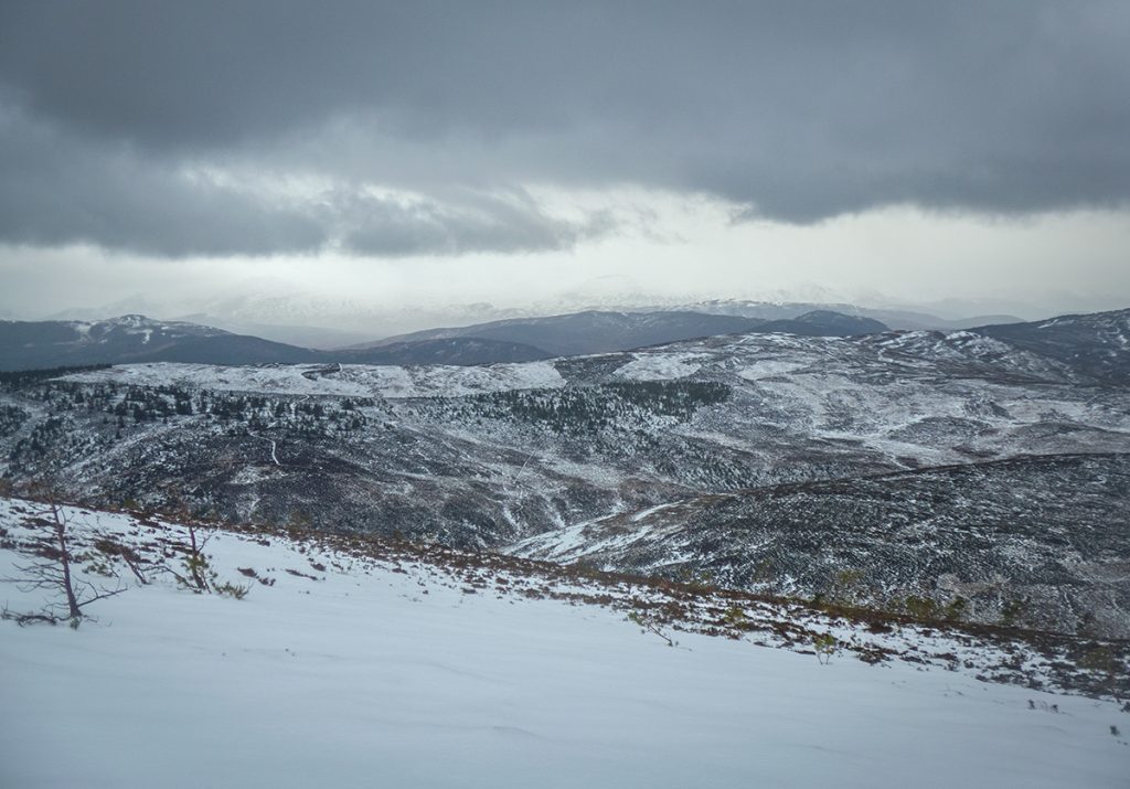
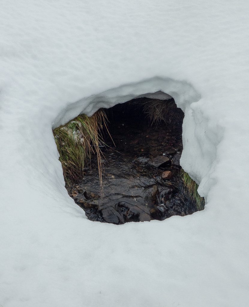
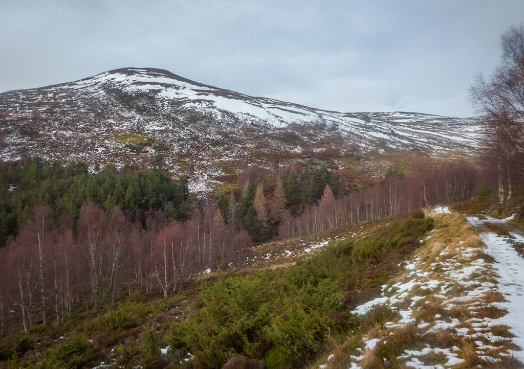
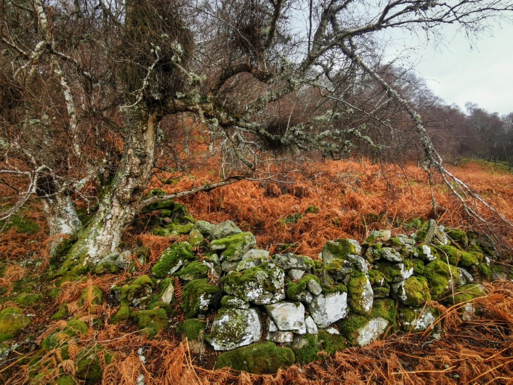
Surrounded by trees made navigation difficult, there are dips and hollows here omitted on the OS 1:25k, but I happened across a small frozen pond which put me back on track. I love the wild nature of this hill, and soon enough the trees began to naturally thin out and shrink to the windy heights.
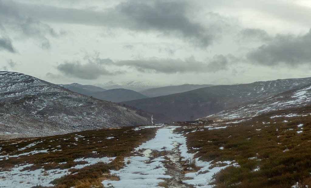
I wasn’t making planned time at either points 407 or 556, the snow had an annoying crust that I sometimes plunged through that was tough going, but although I felt strong enough, didn’t want to push too hard and maybe agitate any side-effects of covid recovery.
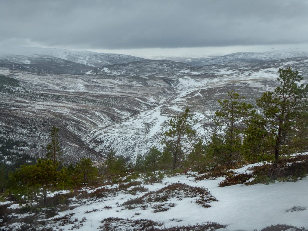
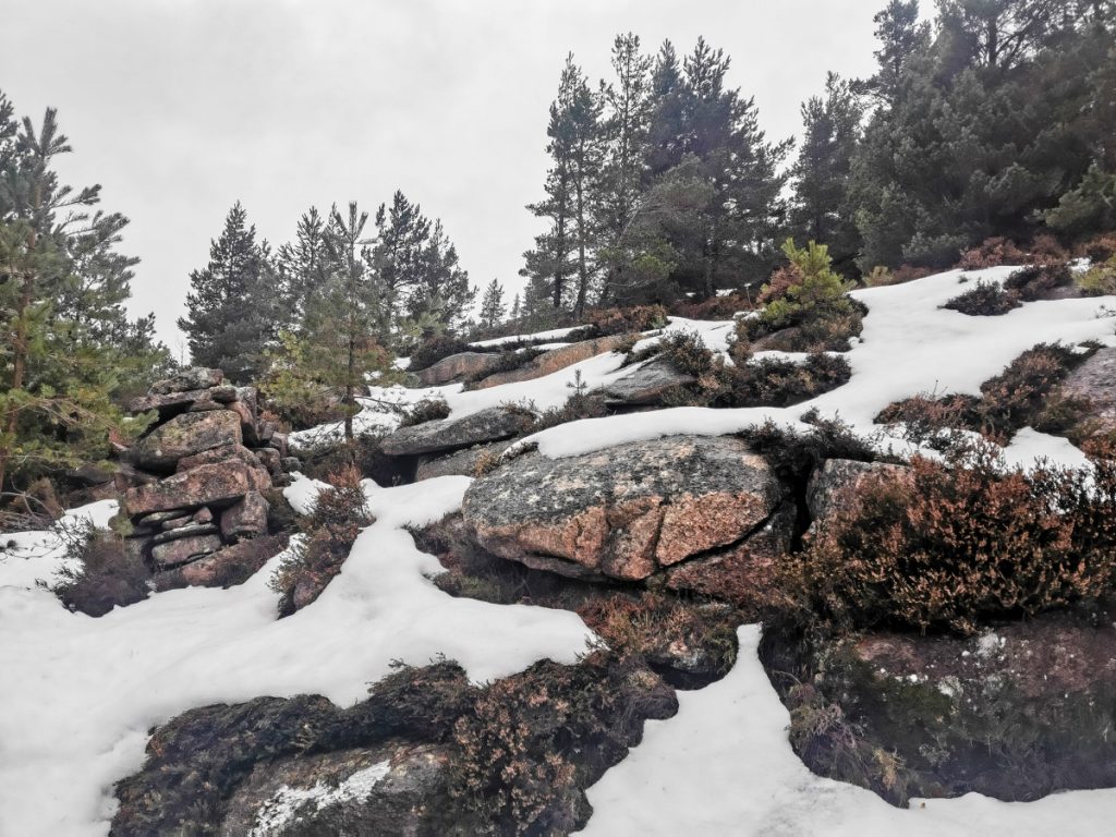
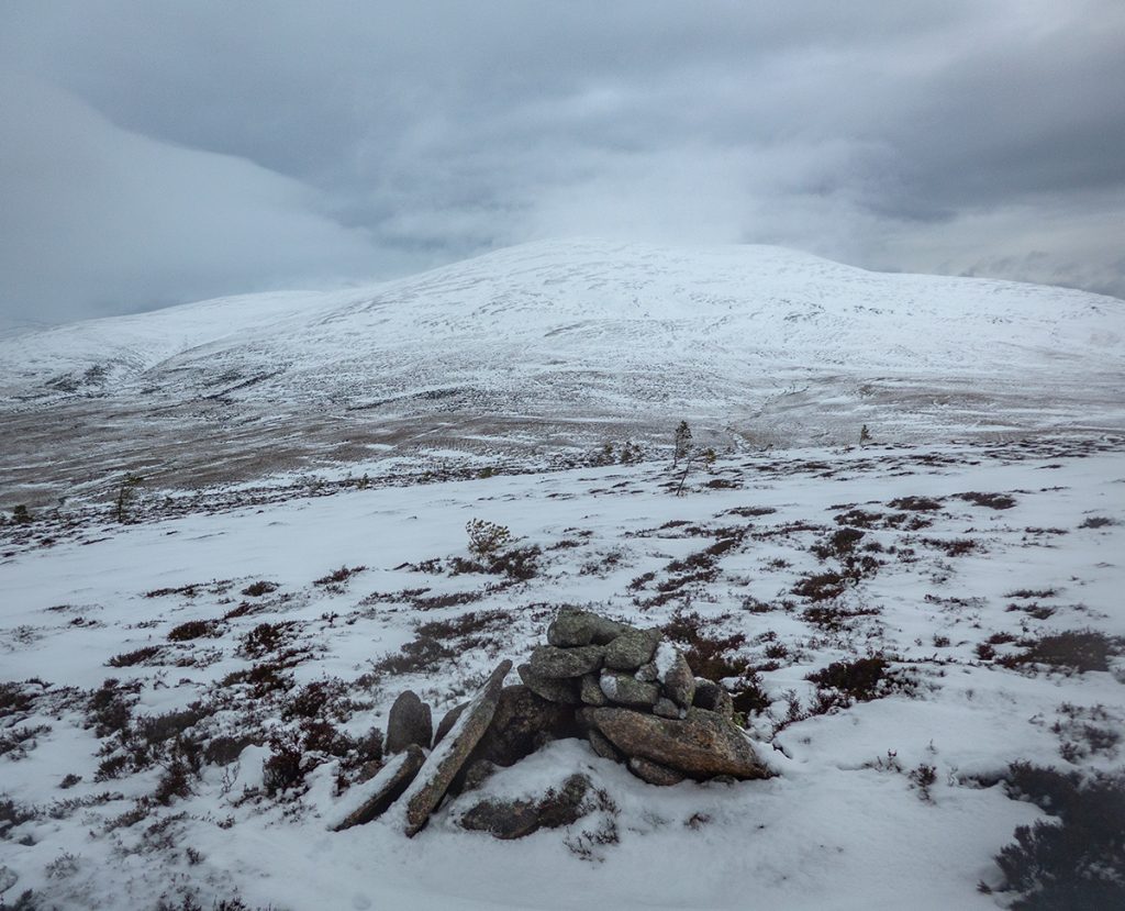
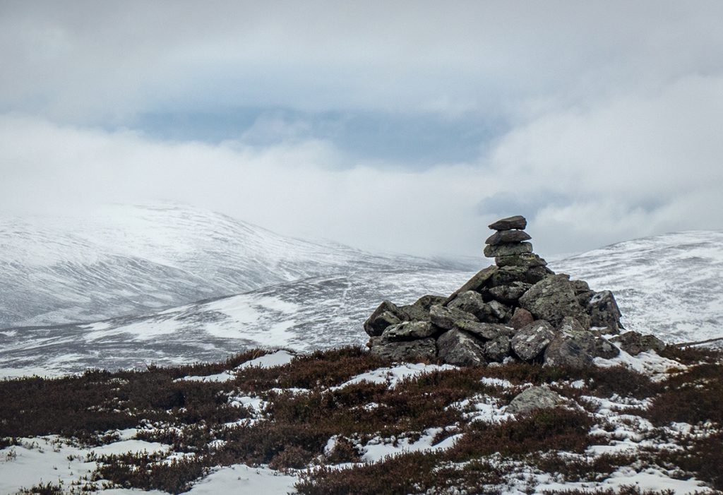
Reaching the top I measured the wind chill at -14, and scoured by the odd blast of sleet and hail made haste down the west side of the hill, following a large deer fence.
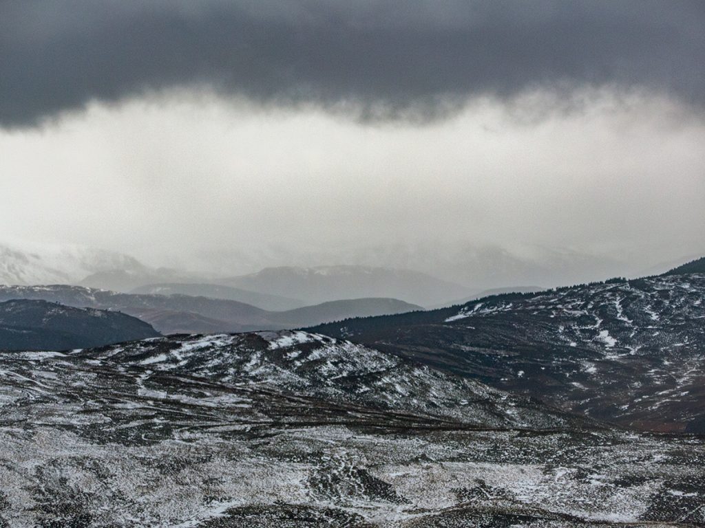
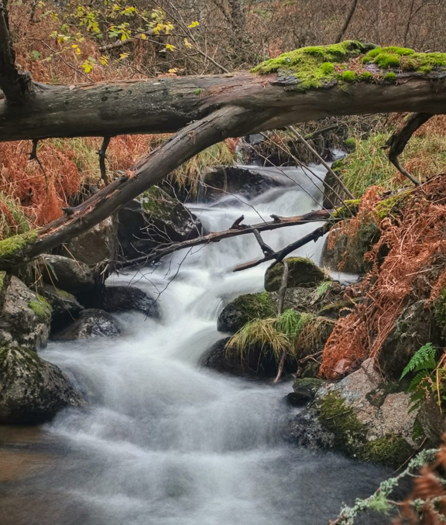
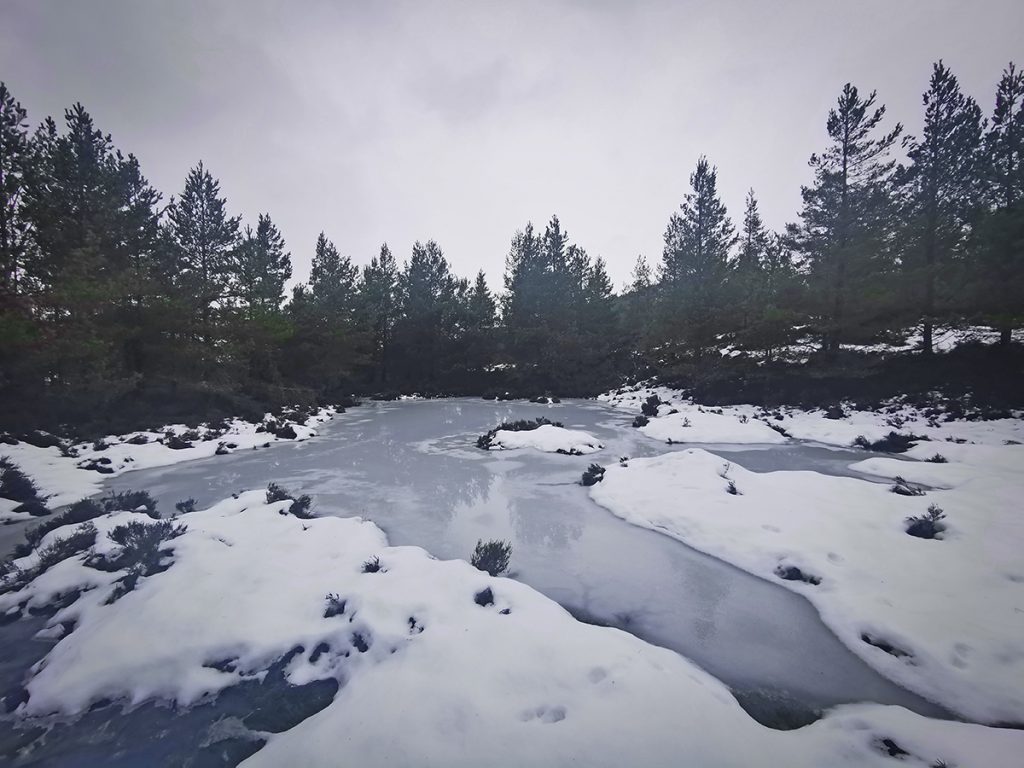
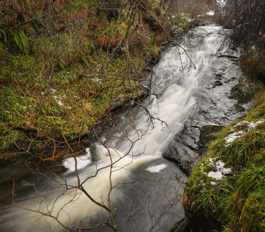
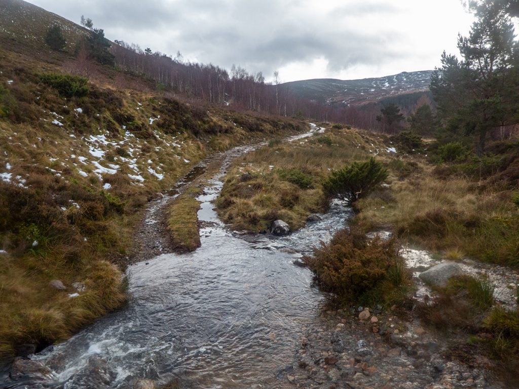
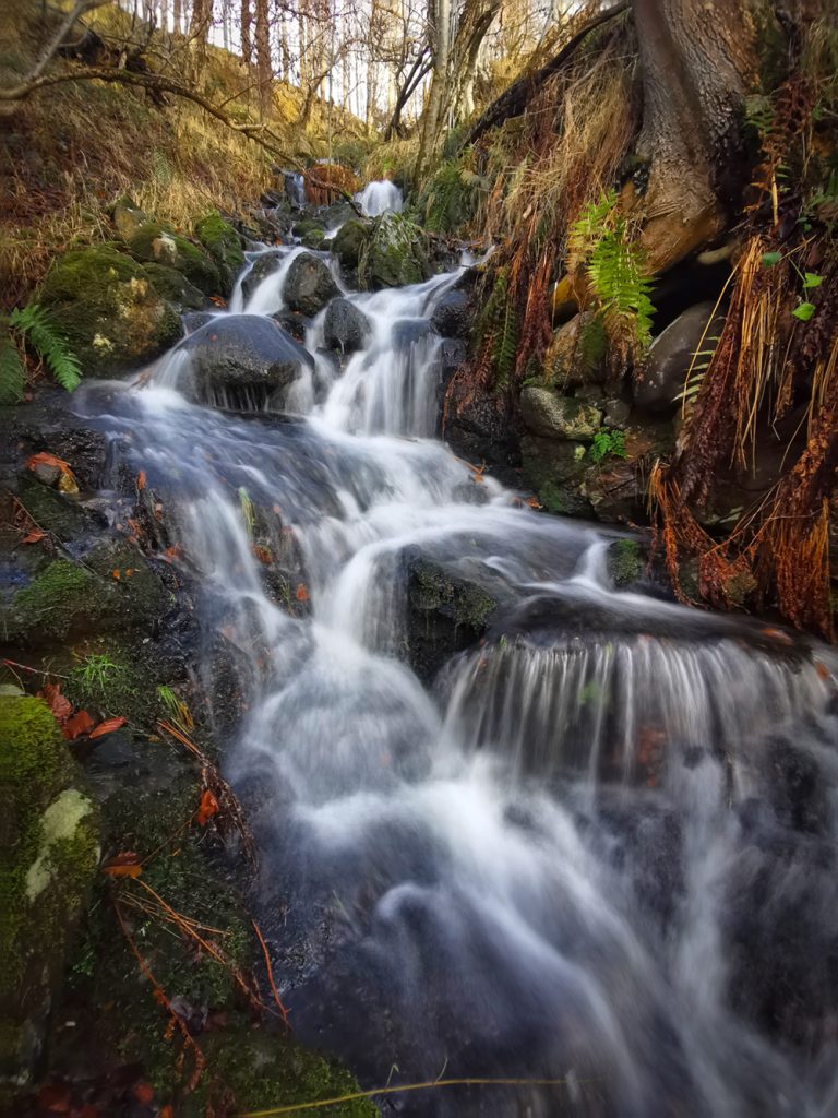
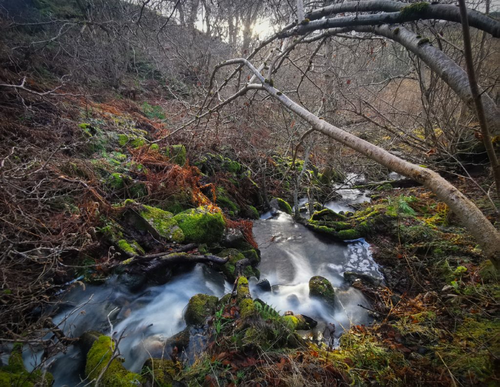
I’d need to cross the Tullich burn, I’d crossed it further upstream previously but it was out of sight in a gully. I headed down to explore, there’s a tumble of waterfalls hidden away, so I proceeded upstream looking for an easy crossing but snow melt had made this difficult and some tentative rock-hops and clambers led to a knee deep dook: I shoulda manned up and removed boots and waded the icey waters. F’sake!
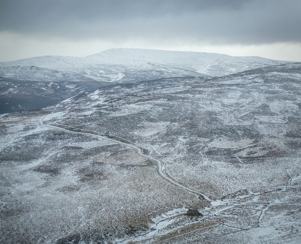
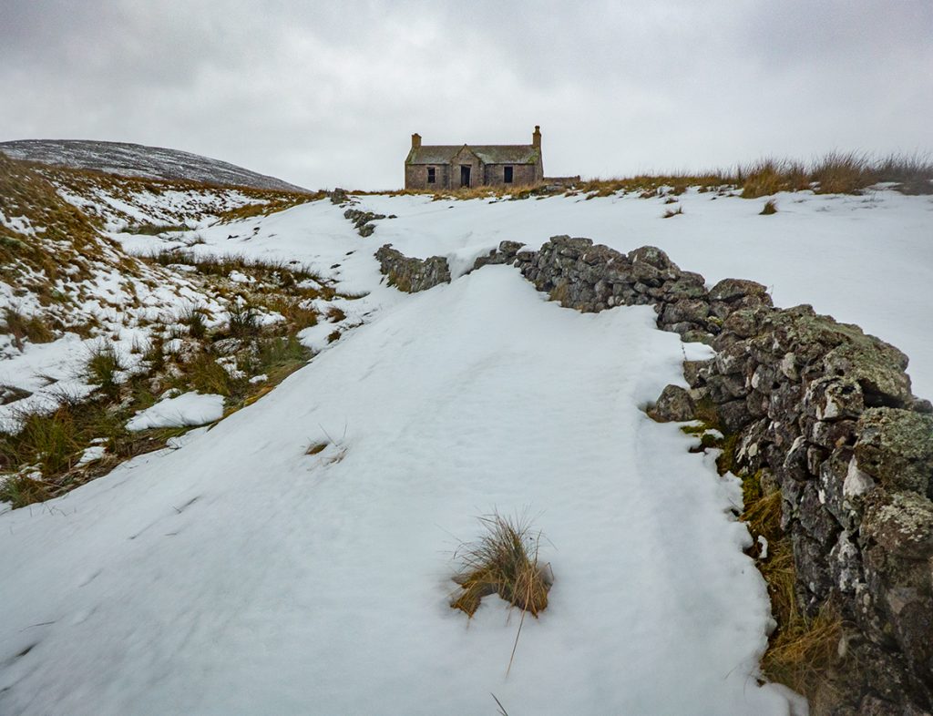
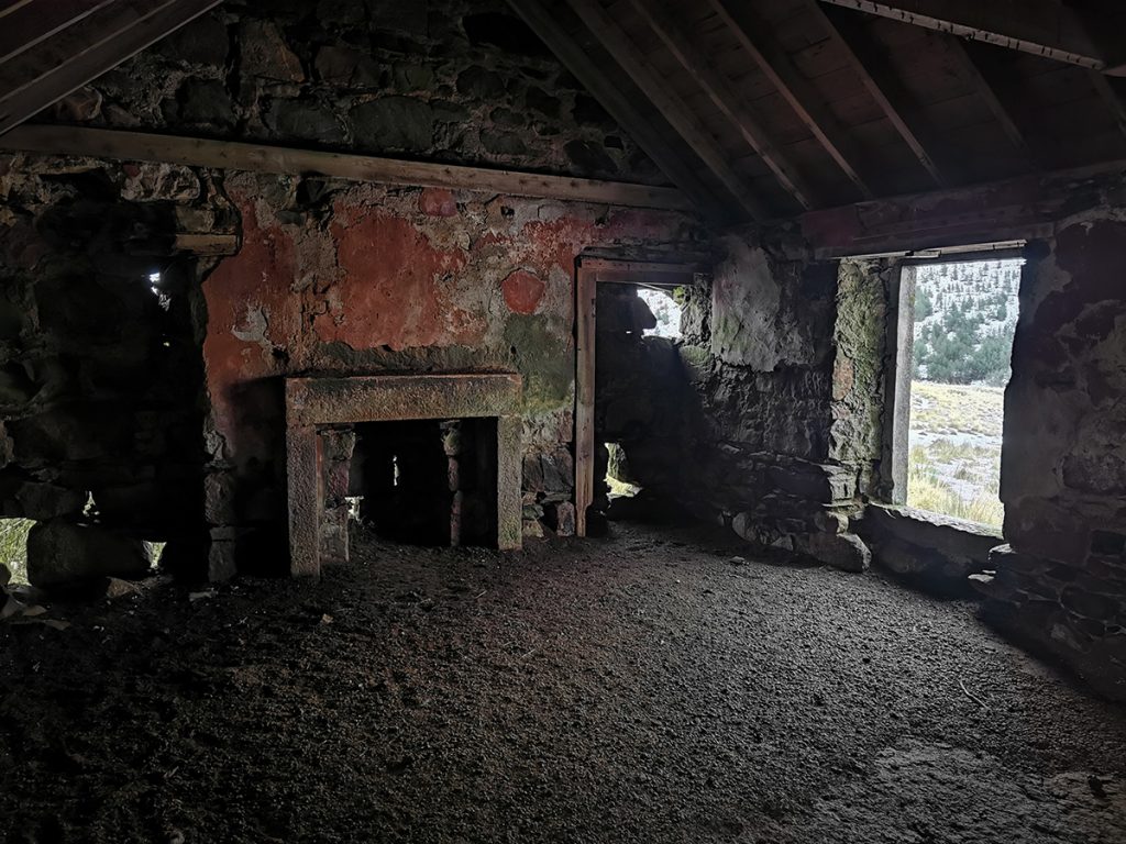
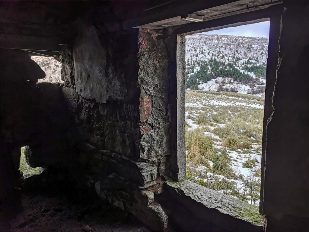
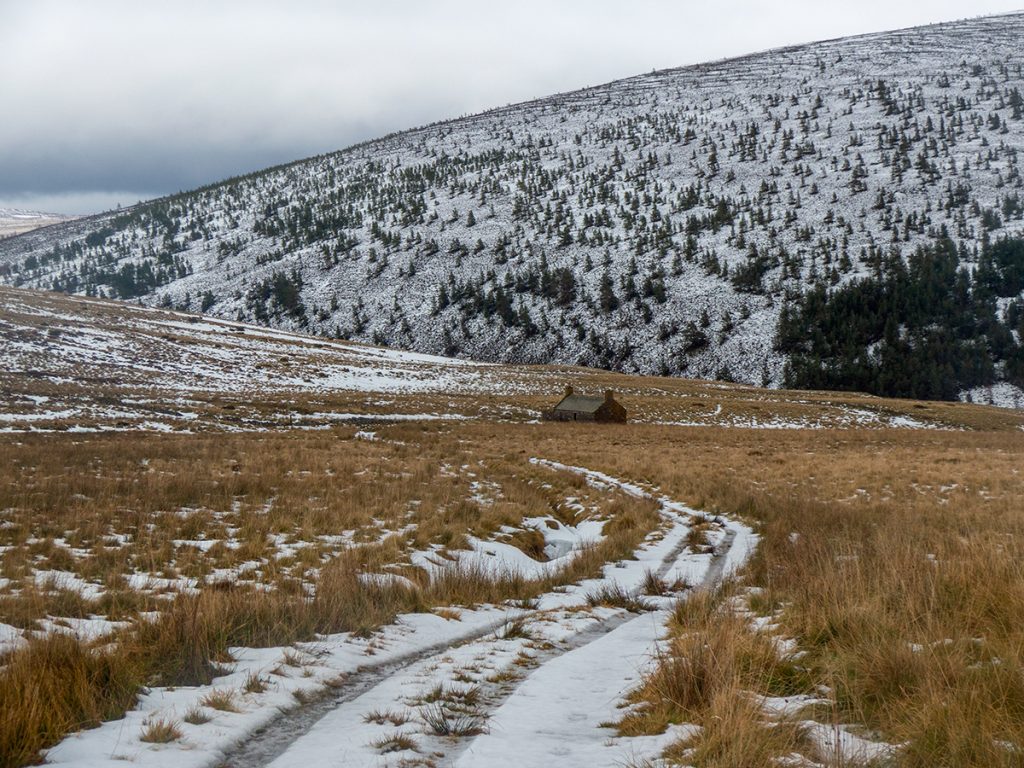
I headed for the cottage, I’d change socks here and get some food. I’d forgotten though that the floor is a foot of compacted sheep-shit, and ended up sitting outside. Spare socks changed into were wet within minutes, I should have taken some bread bags (dry sock on then cover to save the boot re-soaking them). Glad I’d taken a large thermos of hot chocolate..
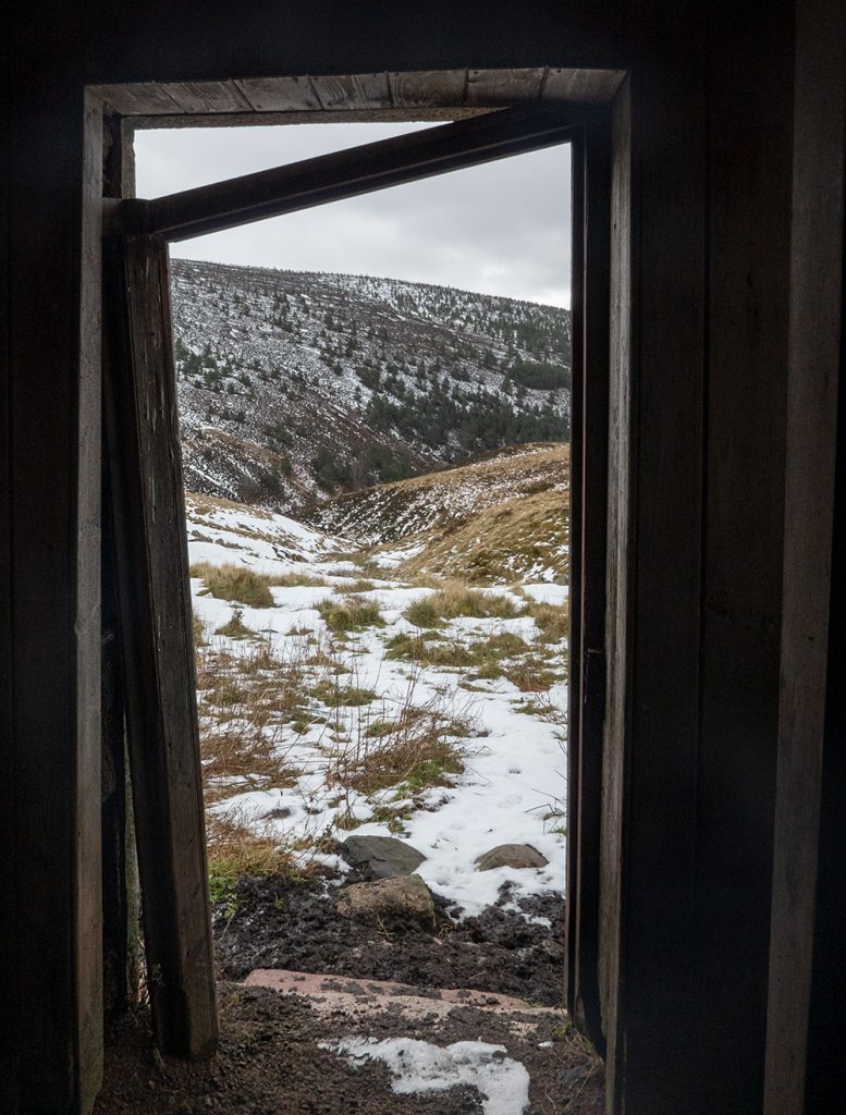
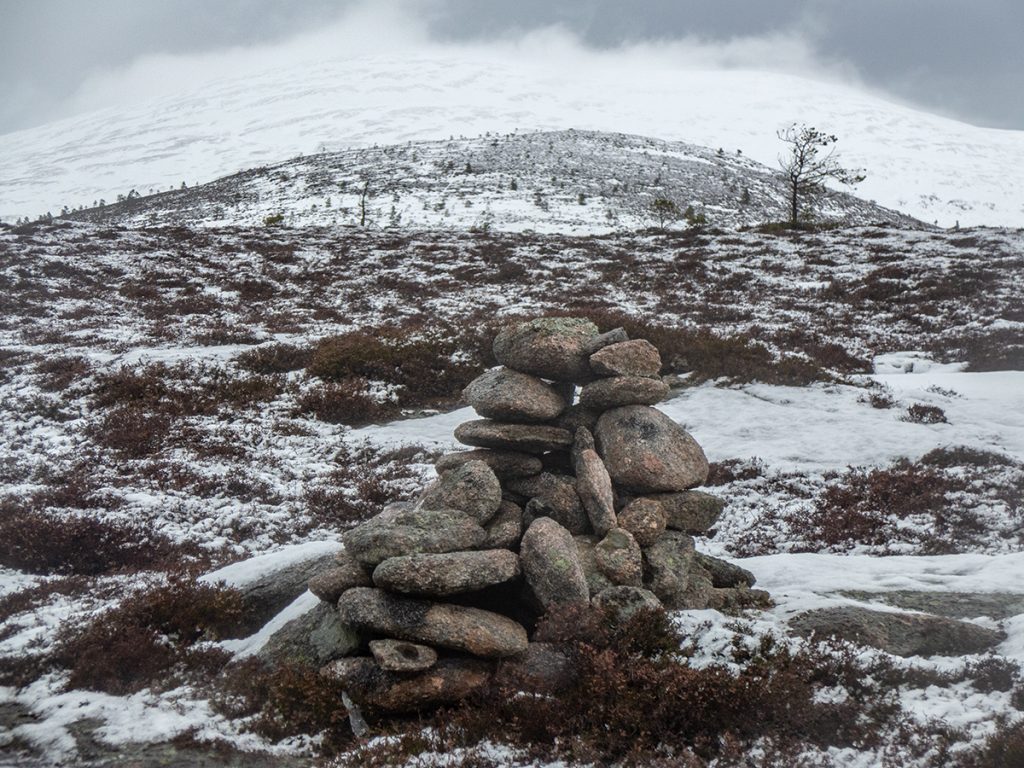
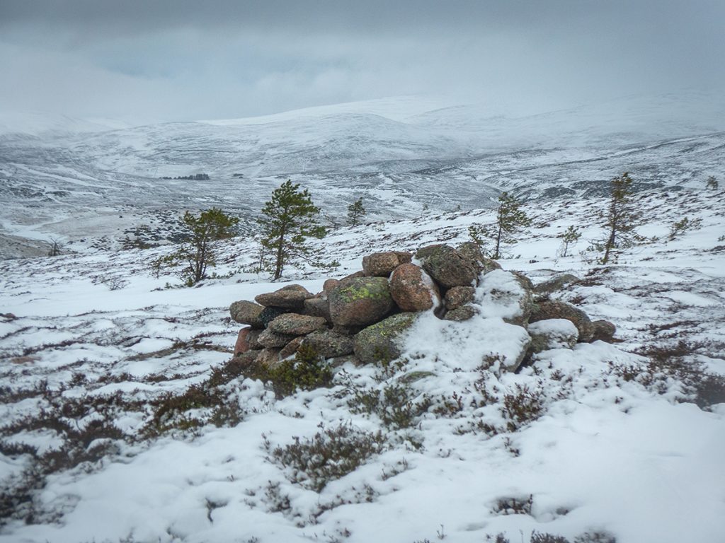
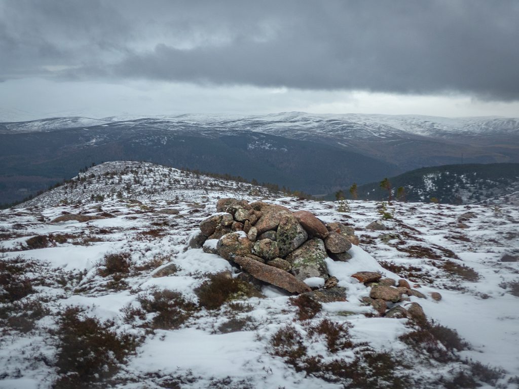
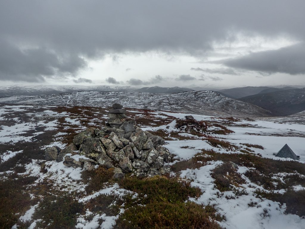
Unsure if I’d ever been to the top of nearby Peter’s hill, I headed off across rough ground following some butts. A bit of ascent and heather-thrashing got a good heat up. The top isn’t very exciting but the assorted grouse feeder bits ‘n’ bobs seemed familiar. I imagine many do not remember if they’ve been here such is it’s low rise and slight offset from a passing track to/from more exciting locations, maybe even the eponymous Peter “Is that my hill? I didnae even mind”.
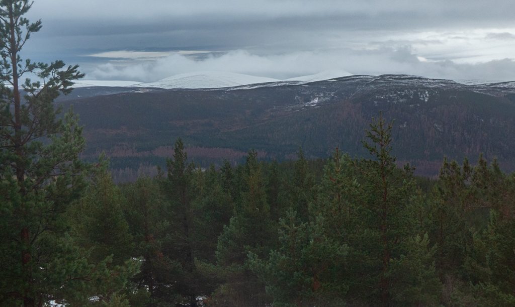
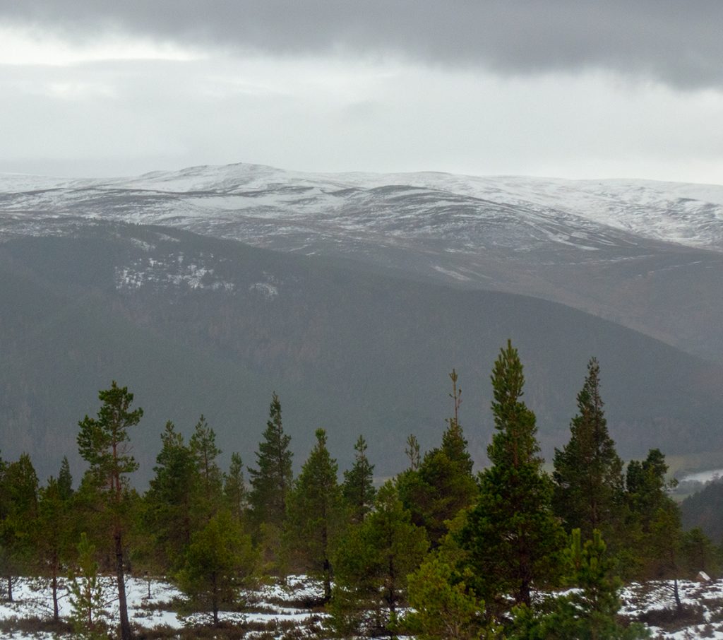
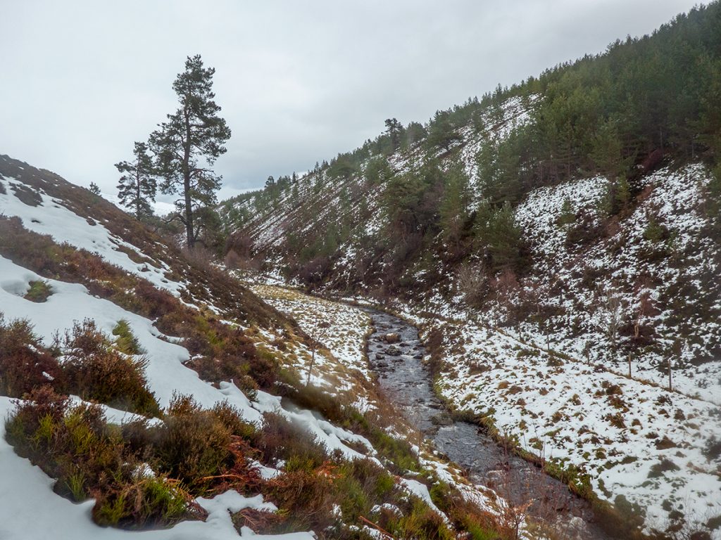
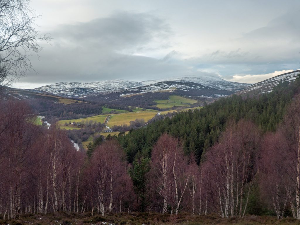
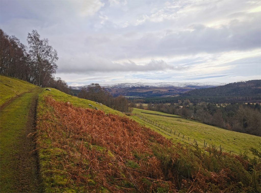
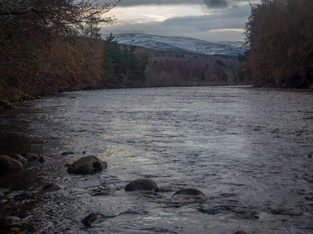
Onwards though to something definitely new: Glen Bardy, with the mapped ford hopefully being a drier crossing. Heading out of the greys and whites down into this glen was re-entering the world of colour, terrain, vegetation and sky, with a distinct brightening, and in an effort to make up some time I jogged a bit albeit careful for ice.
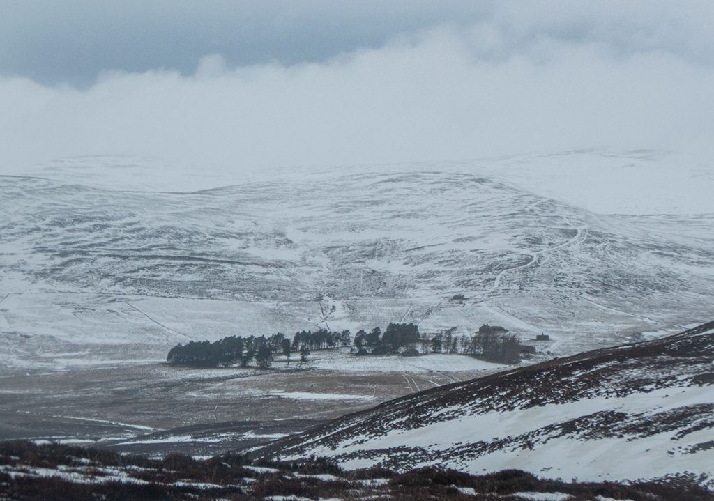
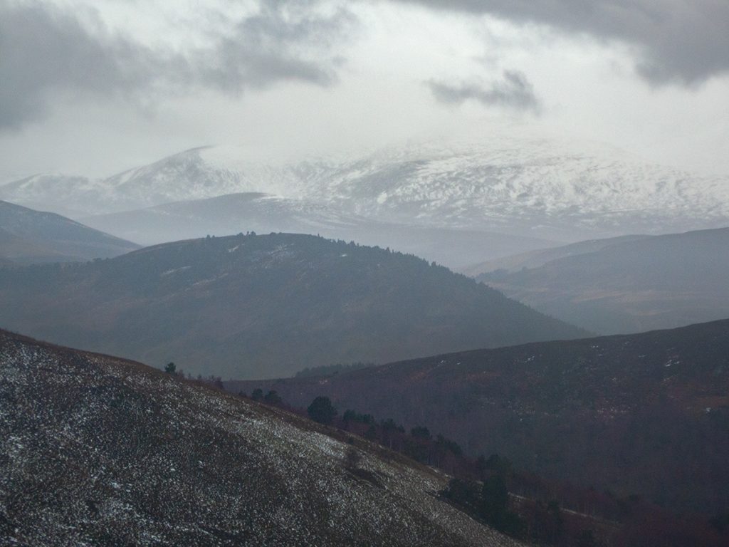
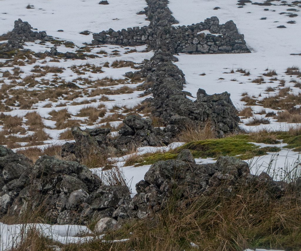
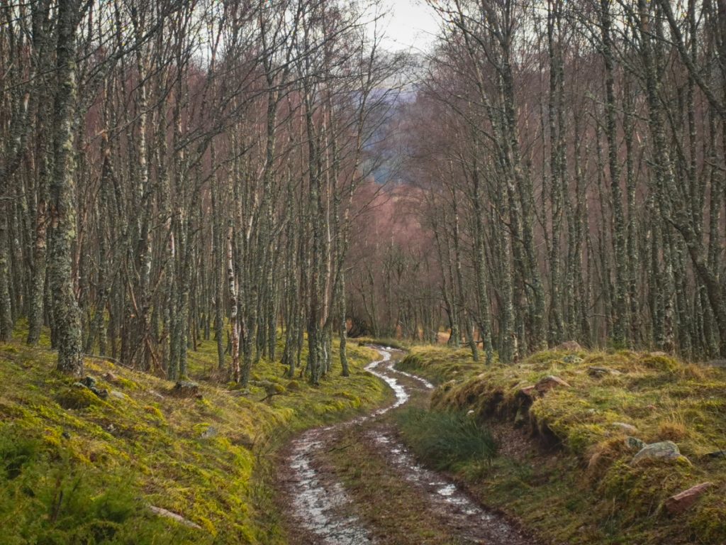
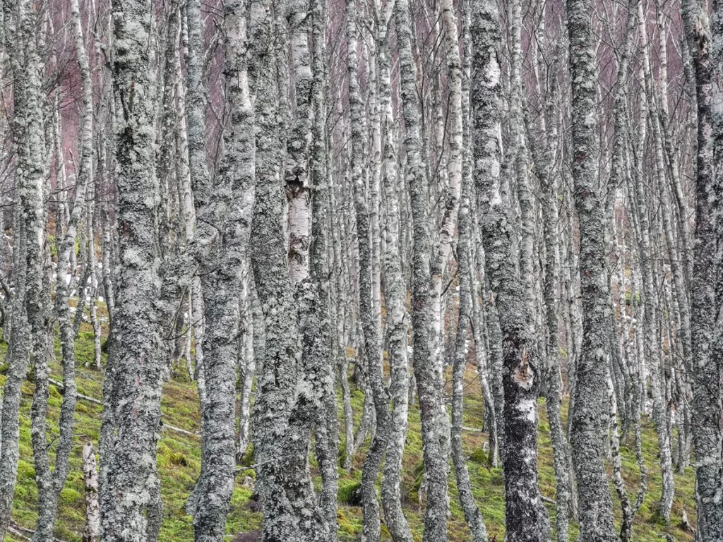
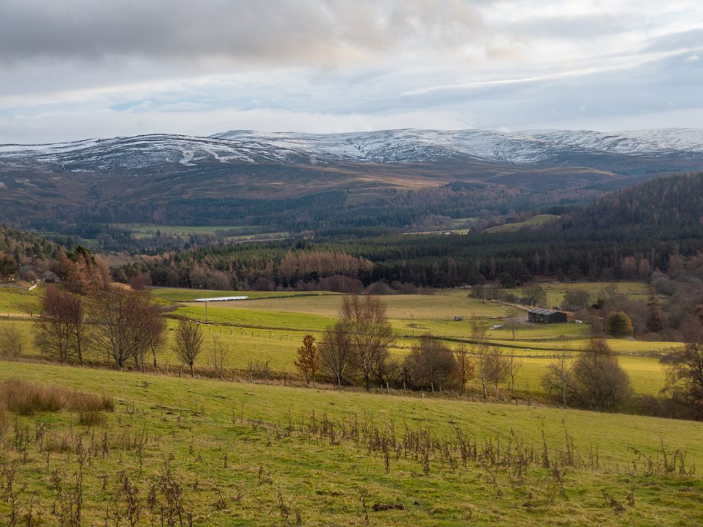
There’s some nice scenery here: up Glen Gairn, across to Hill of Candacraig, the slopes above of Craig of Prony and a trail winding through a birch wood. Chuck in the odd ruin, and then the scene opening out to a ridge of hills: a decent spot. Looking on the map earlier I had somehow come to the idea that the track fizzled out into fields, and that I’d be best to descend to the road (if I’d bothered to follow my own advice and checked strava heatmap I’d have seen everyone else keeps going). Not apparent on the map is a large drop from field to road: I followed the fence before committing to bushwhack my way down a steep stream gully that I imagine rarely sees a human.
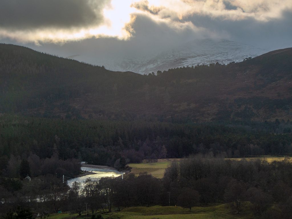
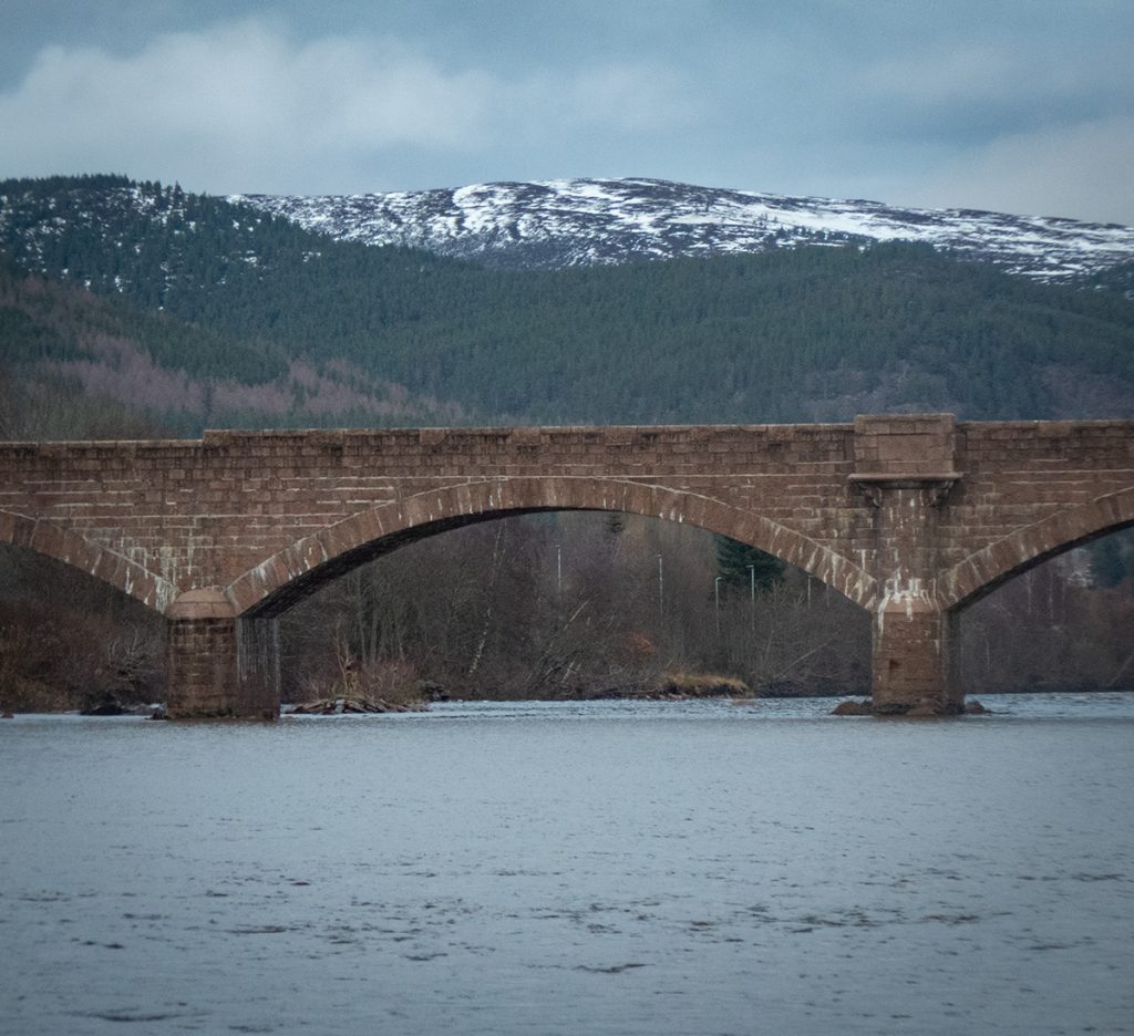
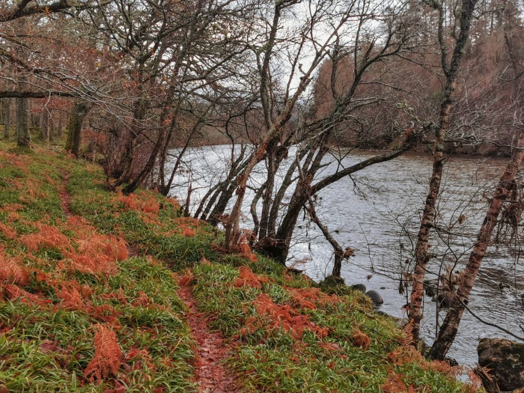
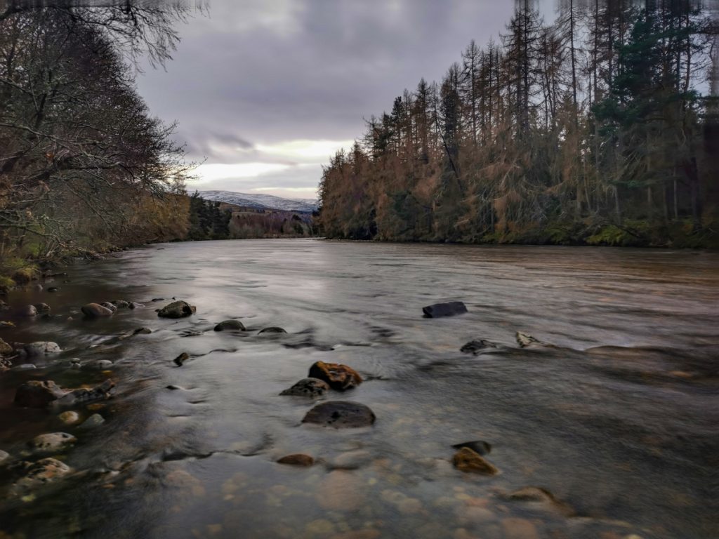
Back on tarmac, I made my way to the path high over the river, but suspecting a decent view clear of trees, clambered down again to the scrape of a path that goes right along the water, but just a bit too late to get good light.
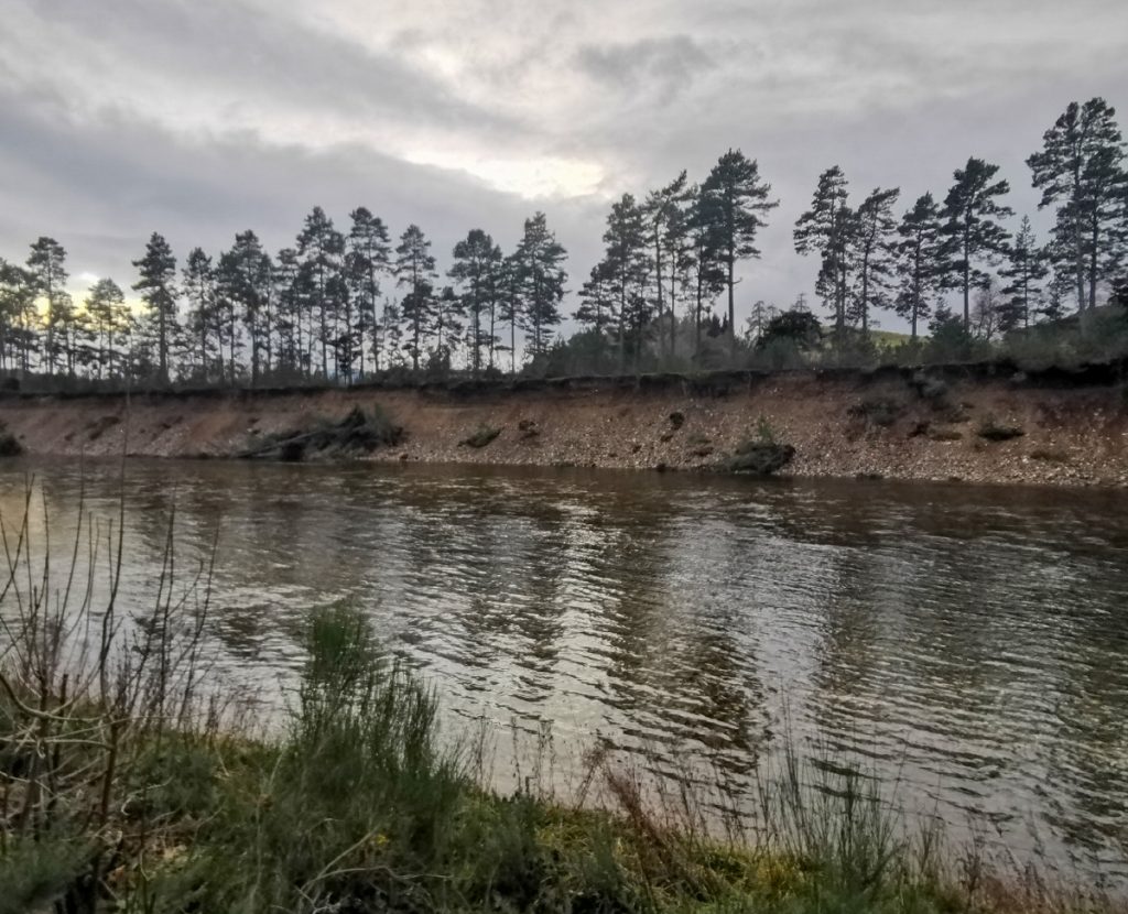
Reaching the outer limits of Ballater I continued along the golf course, the path has been obliterated in places but folk have trampled around the bank collapses. The other side showed huge scouring from some flood torrent. 18k in the bag with a good variety of terrain, and I didn’t feel as exhausted as after last week’s trip which was encouraging.
A bit of time to kill arriving at town, I resisted the urge for a pint and had a nosey in the local bookshop, coming away with some goodies before the bus home.