Today’s trip was heading from Ballater to Dinnet, taking in a bit of exploration and heading up some small hills before heading through to the lochs of Dinnet. Getting off the bus in Ballater there was a mist and low lying cloud but thought the sun would burn that off soon enough.
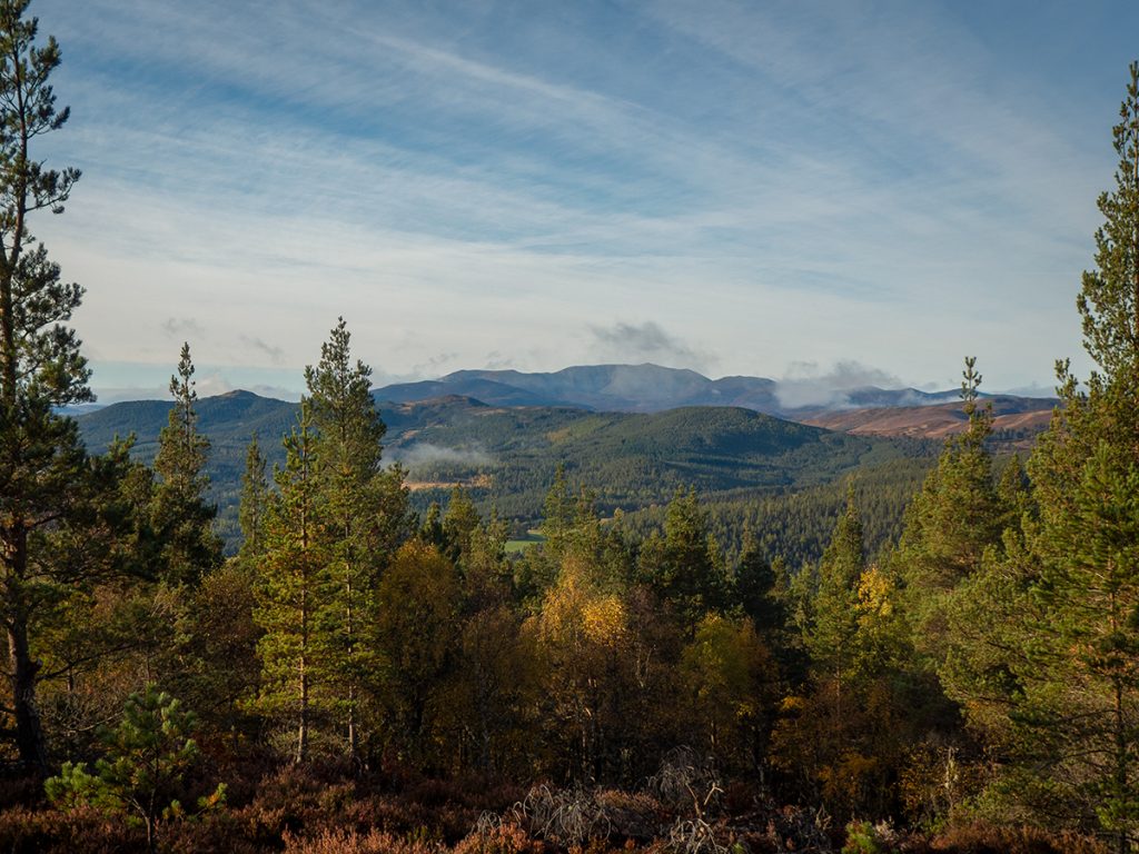
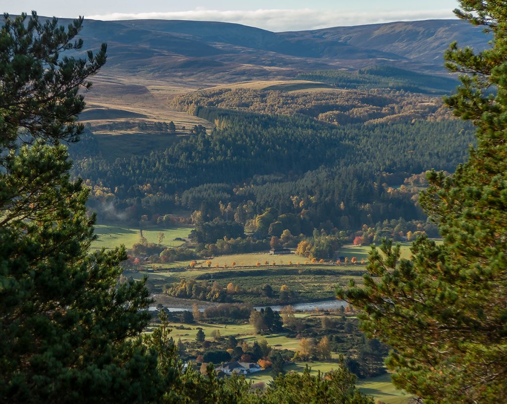
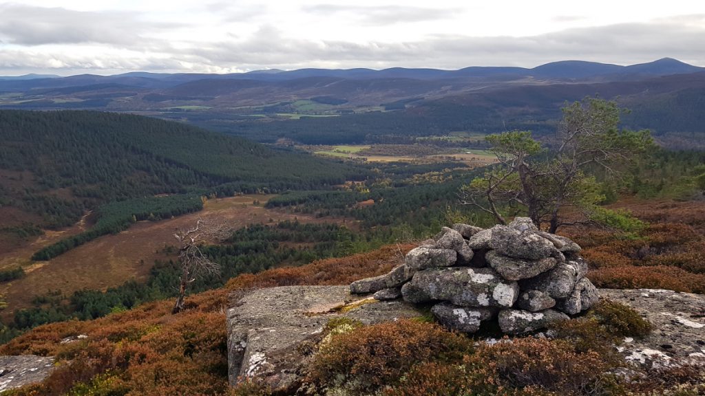
Reaching the top of this small hill there are views through gaps in the trees to the surrounding hills and of the town below
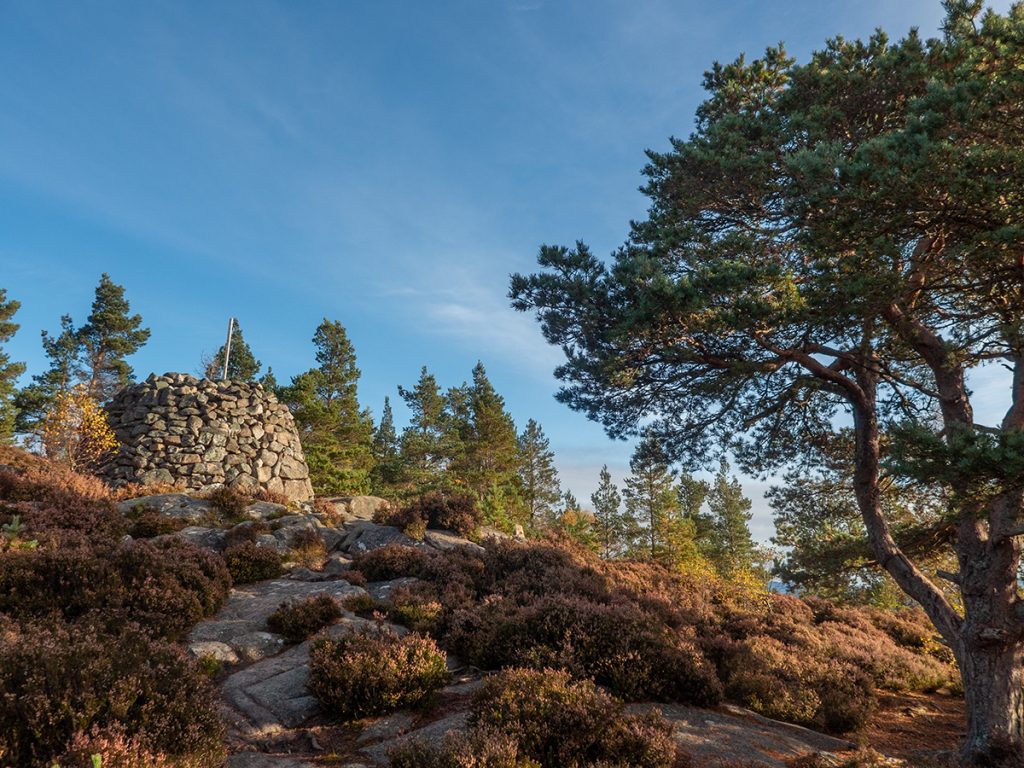
I headed down and around to the back of the hill to cross the pass of Ballater and then on to a farm track
As I climbed up further I could see shards of the morning’s low-lying clouds, like spindles of cotton wool, persisting where the low morning sun hadn’t warmed yet
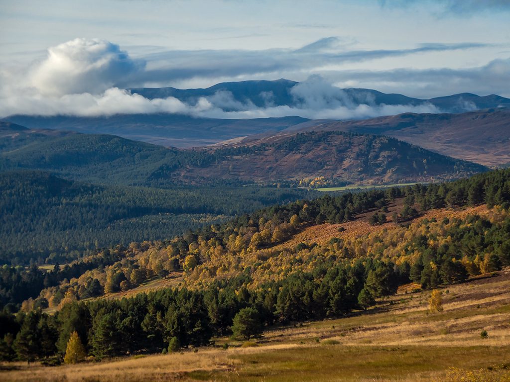
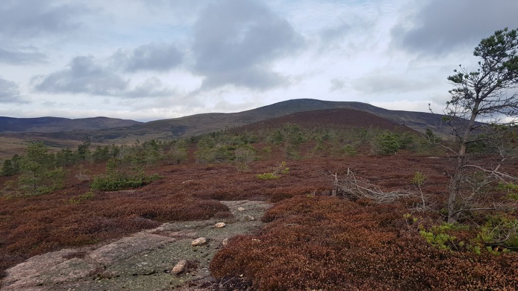
Rather than continuing past Peter’s Hill I took a right to cross moorland and would approach the next target, Crannach Hill, from the north side
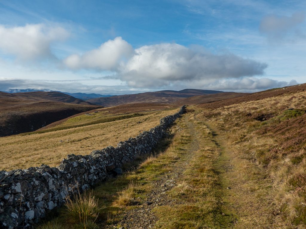
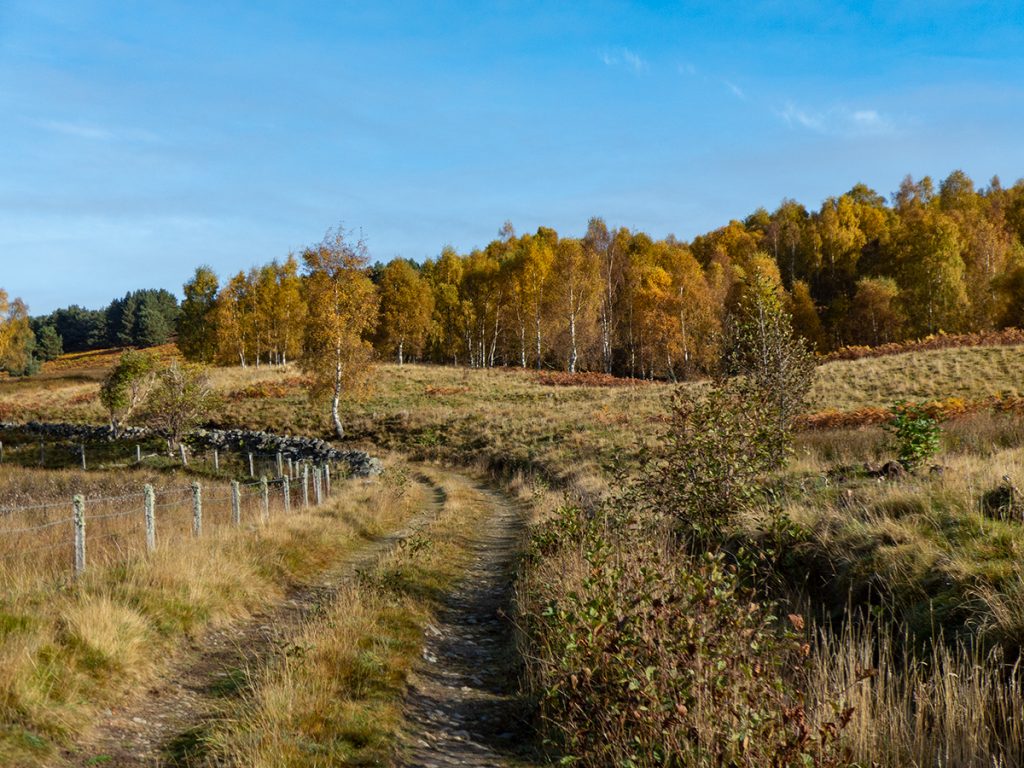
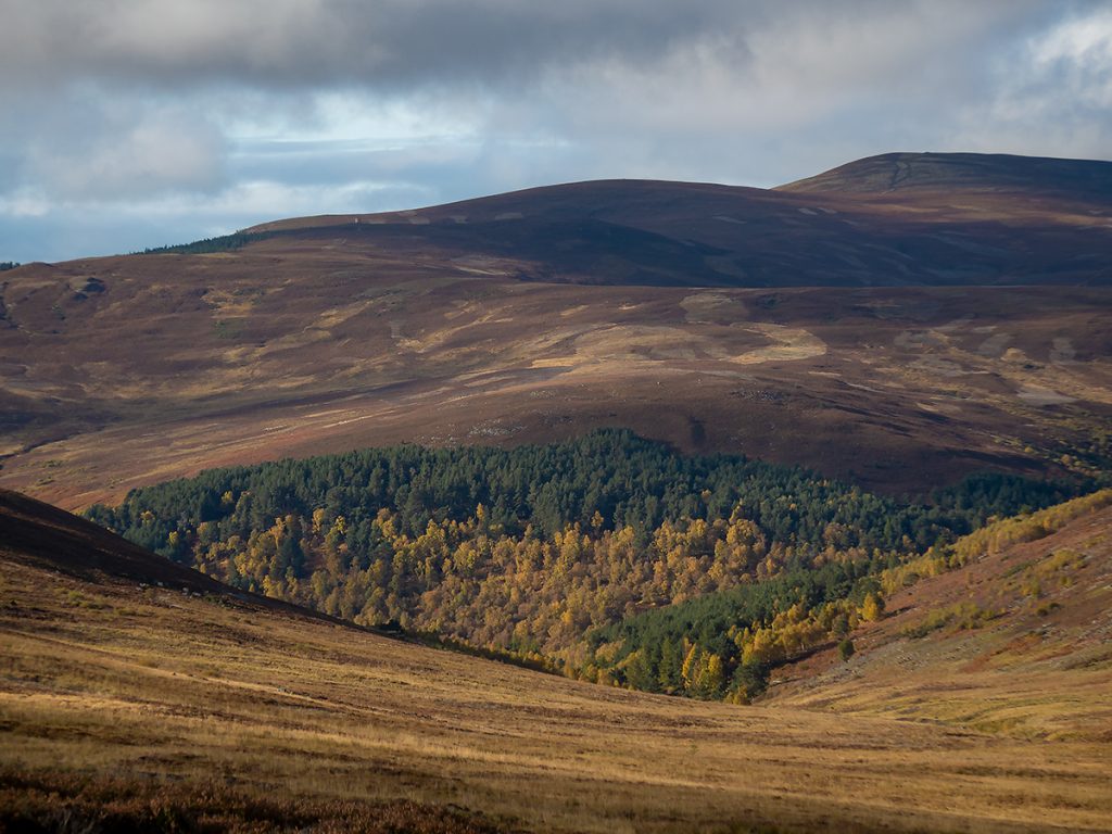
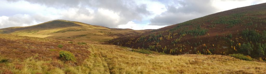
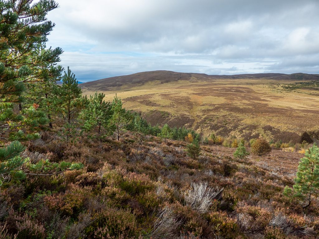
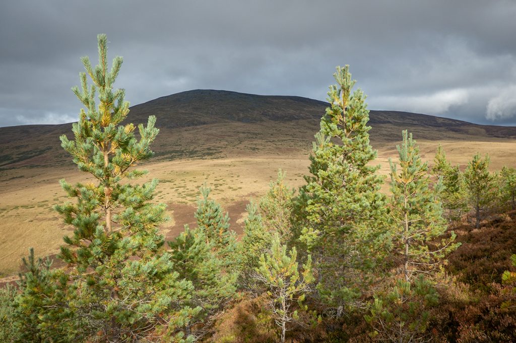
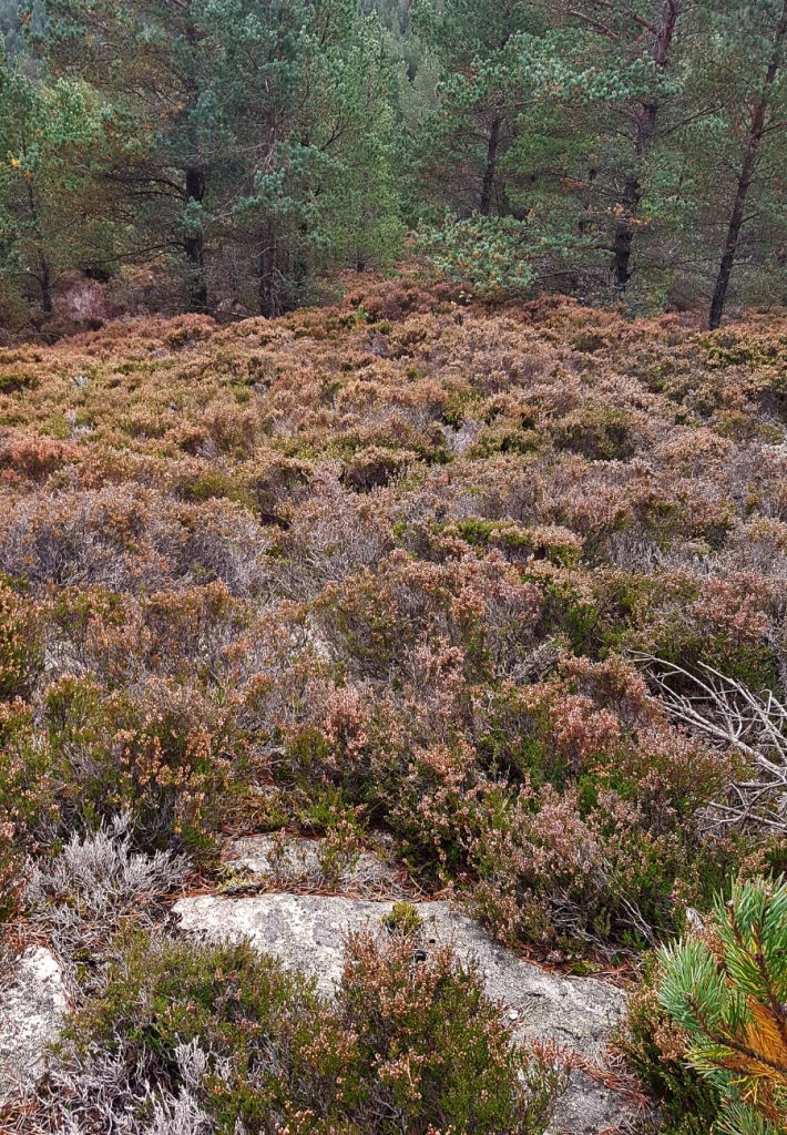
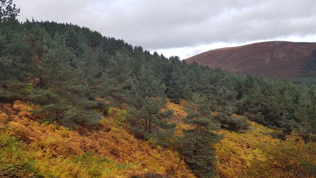
Approaching Crannach Hill, there is a marked difference in terrain; grassy to the left and heather/ young conifers to the right. A trace of a track heads onwards past the foot of the hill towards Morven
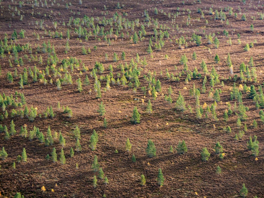
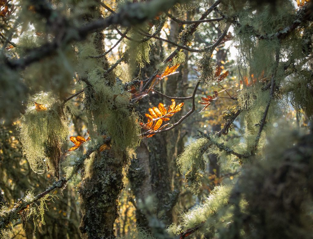
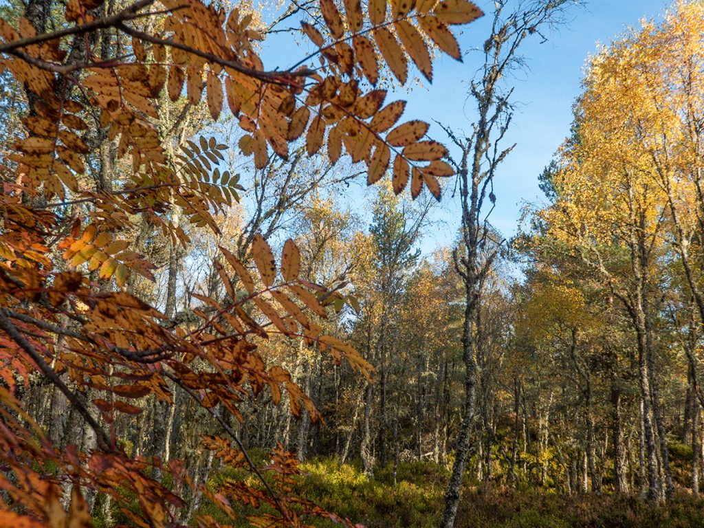
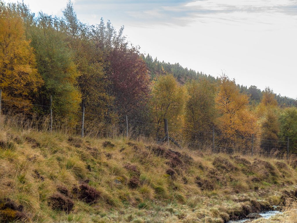
I can see why the difference in vegetation – Crannach Hill is behind a deer fence so is able to regenerate without being stripped bare by sheep and deer. There’s a fine band of autumn hued trees on the far side of the fence
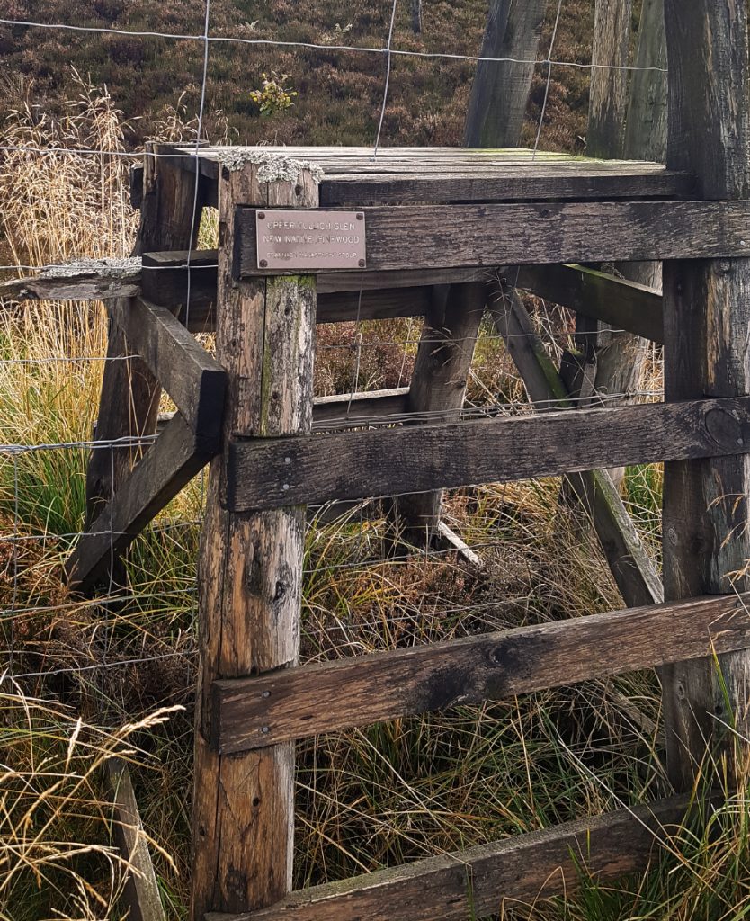
Fortunately there’s a stile close to hand (wish OS maps marked them)
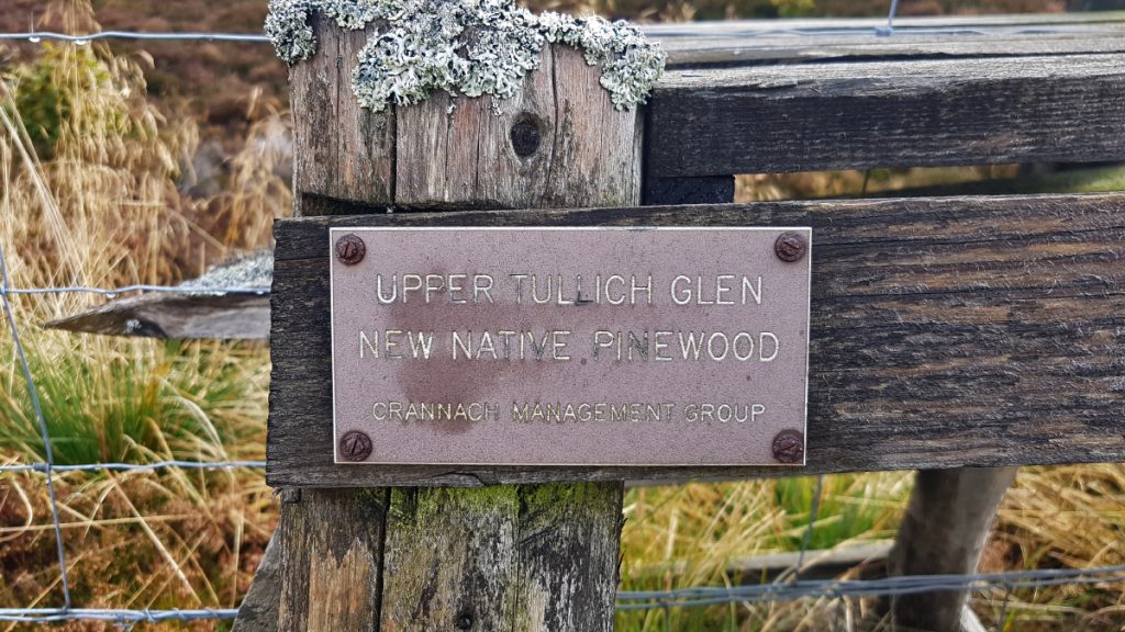
After the trip I had a look to see about “Upper Tullich Glen pinewood” but couldn’t find much. There’s a bit more info on the 14th page of this PDF from 1995. (also more on Dinnet tree regeneration on 17).
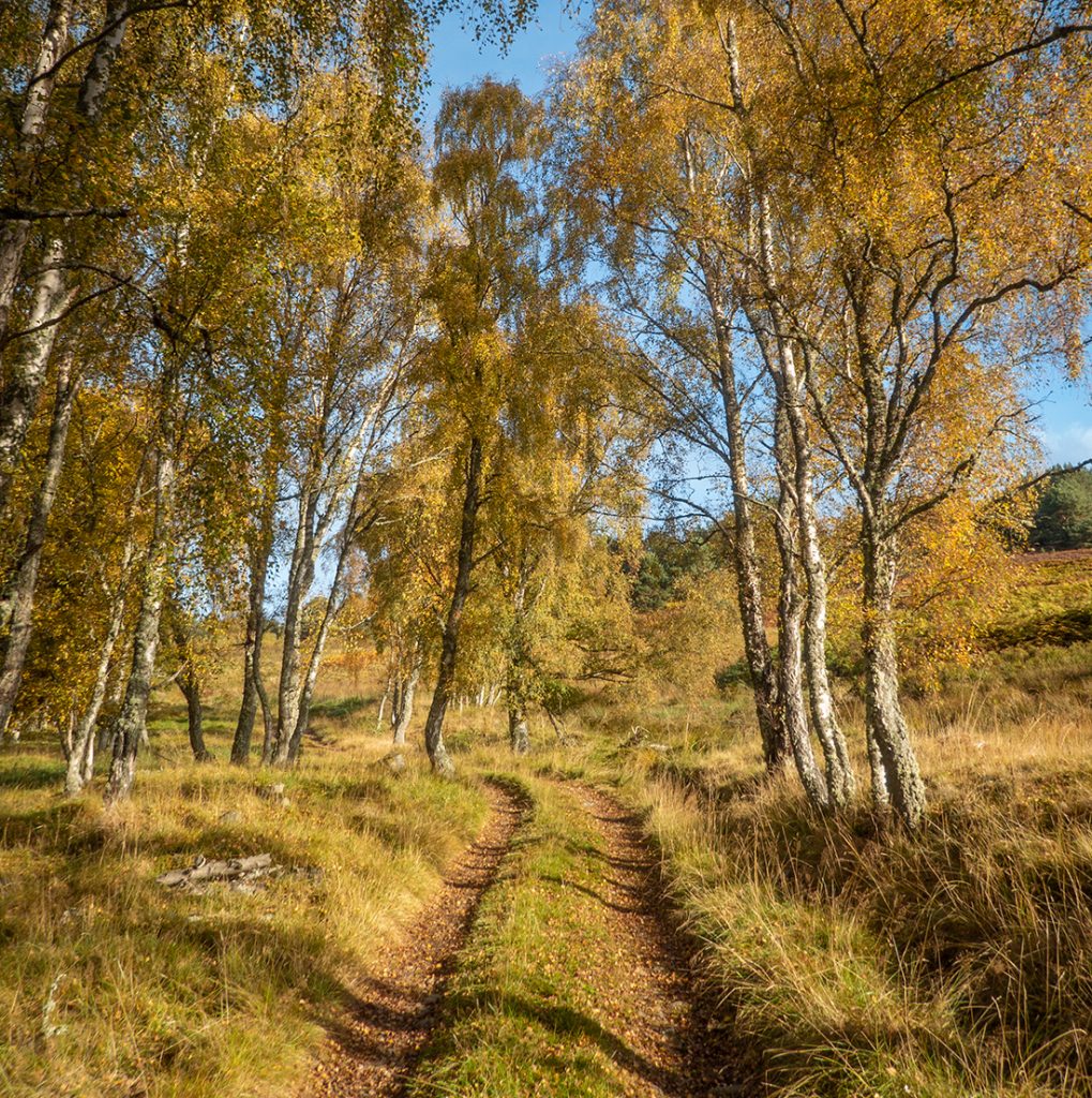
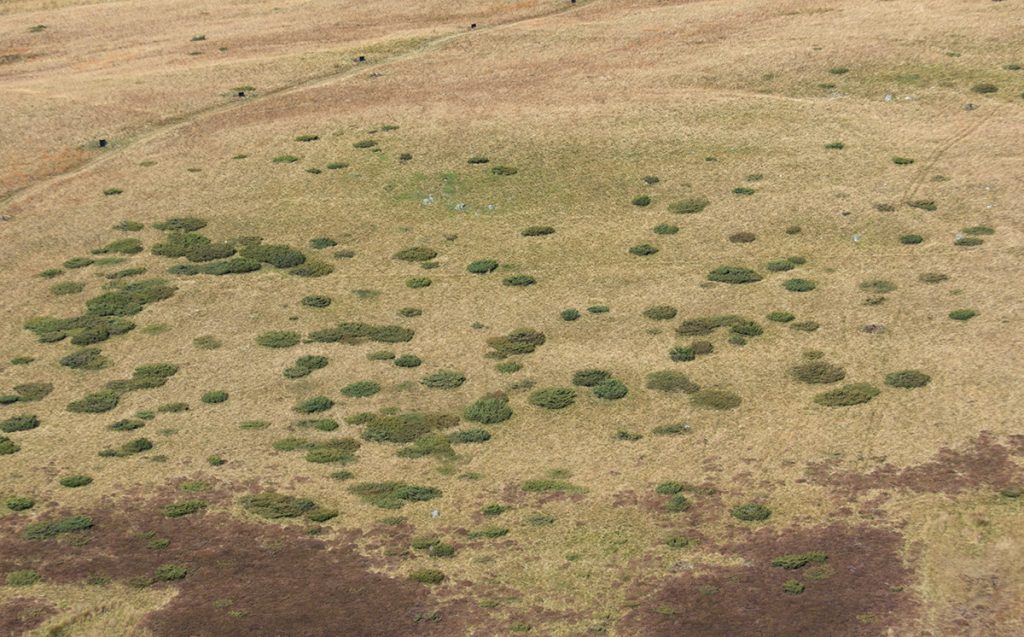
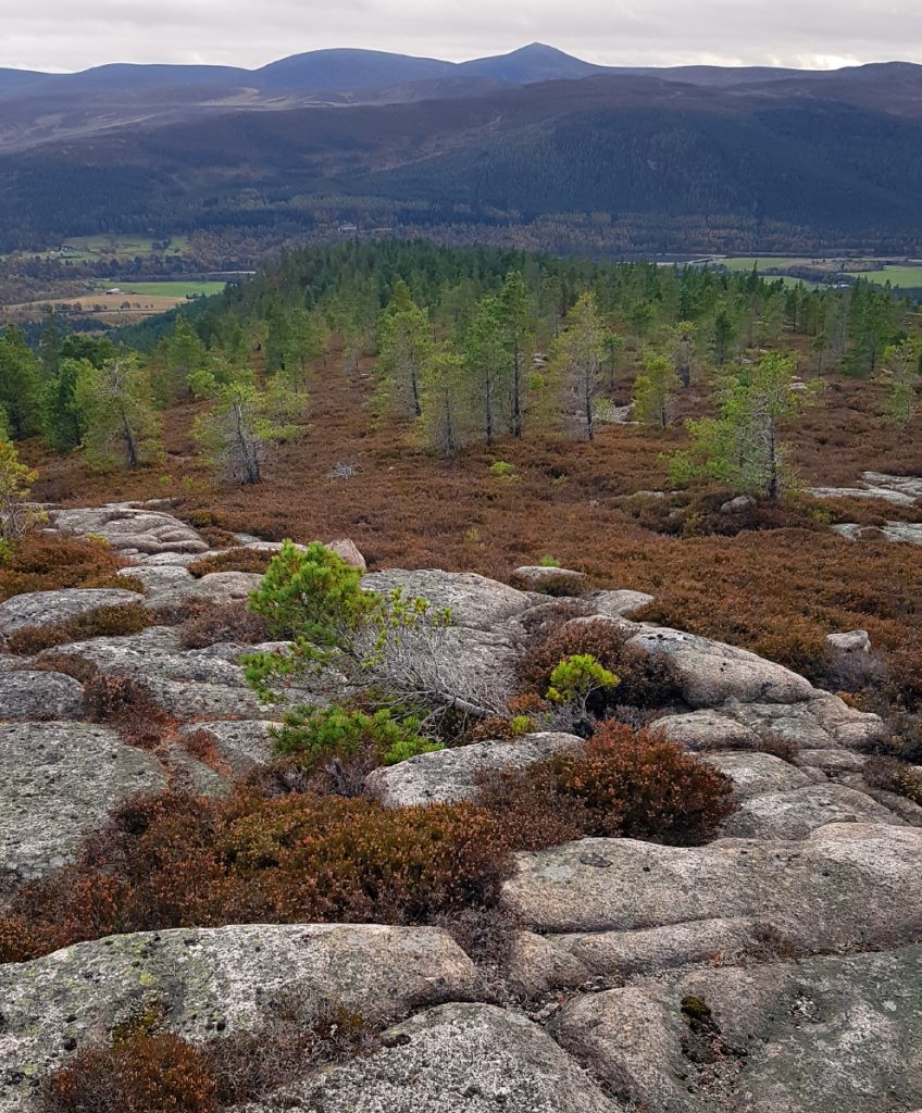
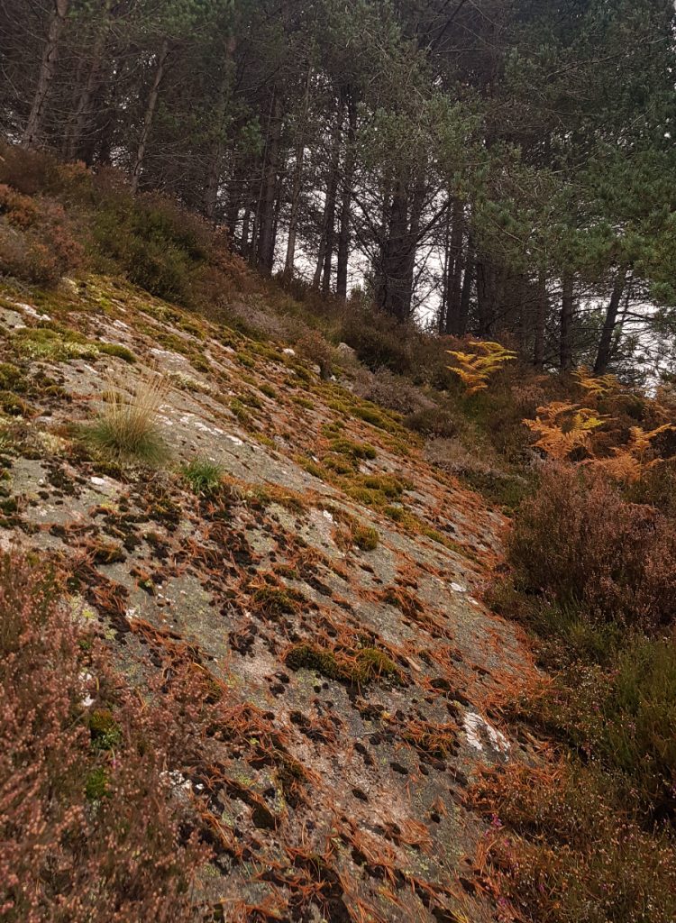
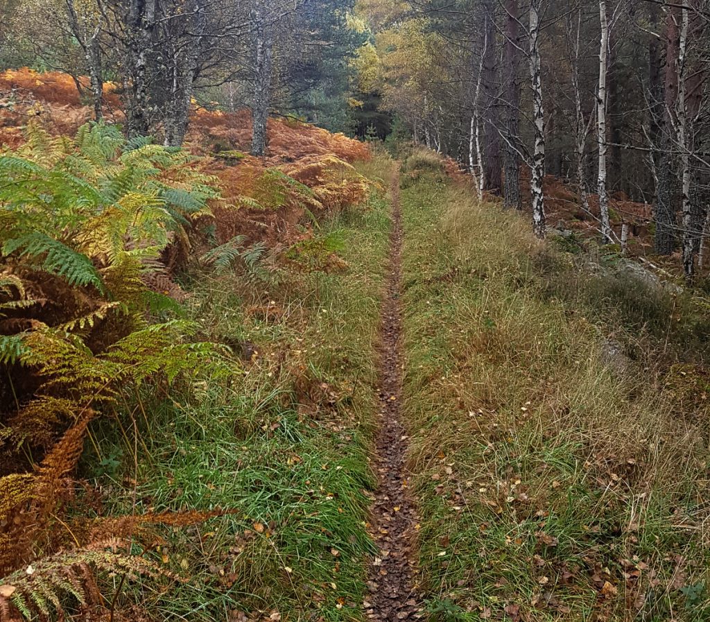
I started making my way uphill; there’s no path on this side and the heather is quite deep, but nice to weave in and out the young trees, compared with the barren stretches opposite.
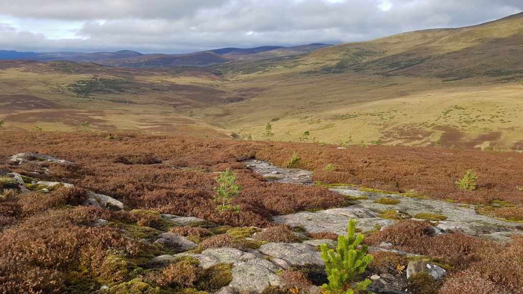
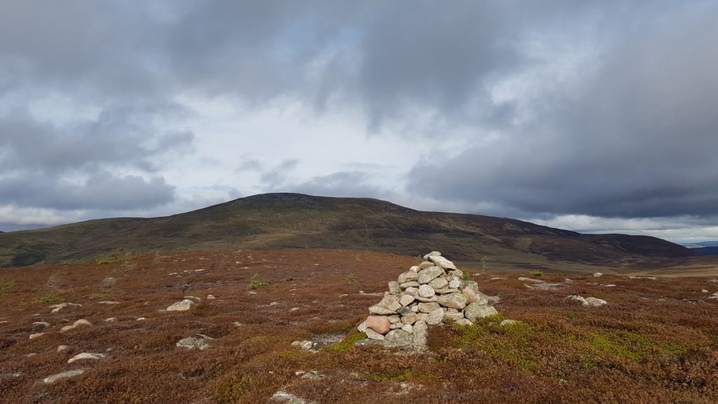
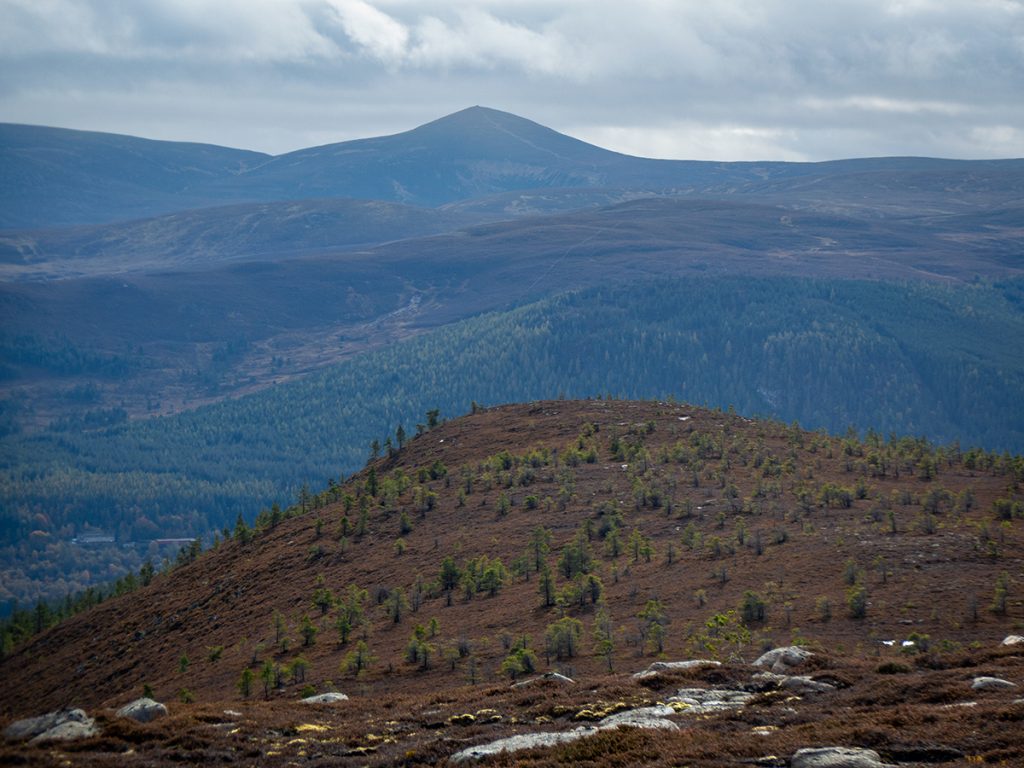
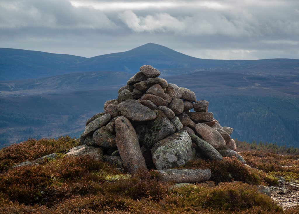
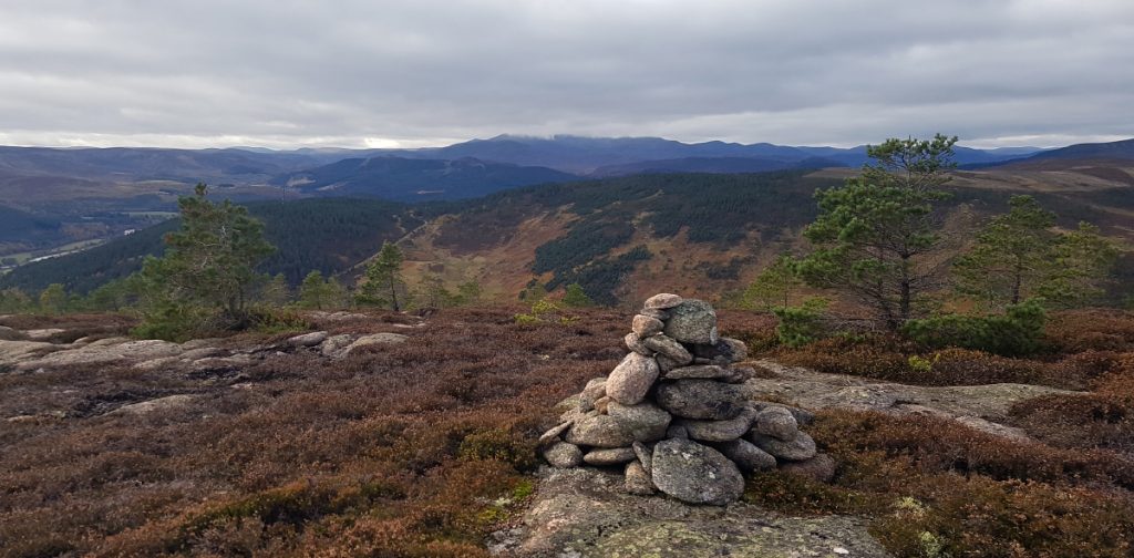
I crossed another fence, it appears only the rear of the hill is enclosed. I reached a small cairn, from here (the highest point at 602m) south there was a rounded ridge of sorts, with a scrape of a path and more cairns leading the way
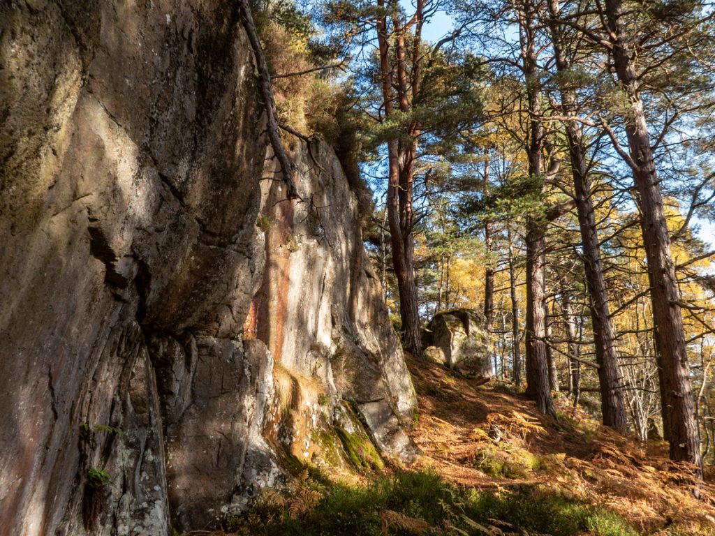
Heading down the ridge the trees get thicker and it gets steeper and bouldery; I decide to head left down into the glen but it’s all tough going, and not runnable: care taken as hidden holes await my ankles
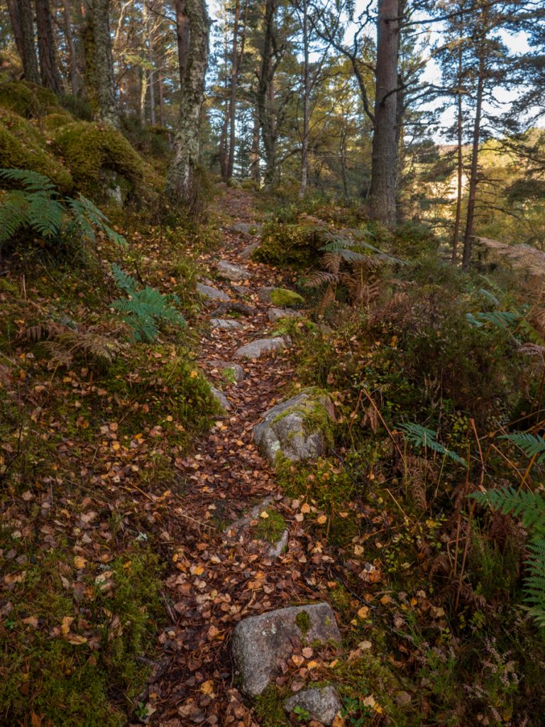
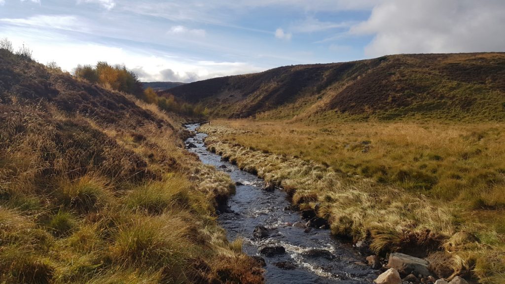
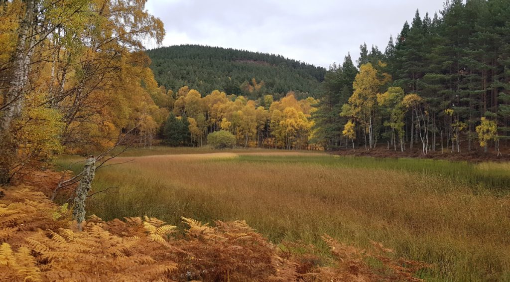
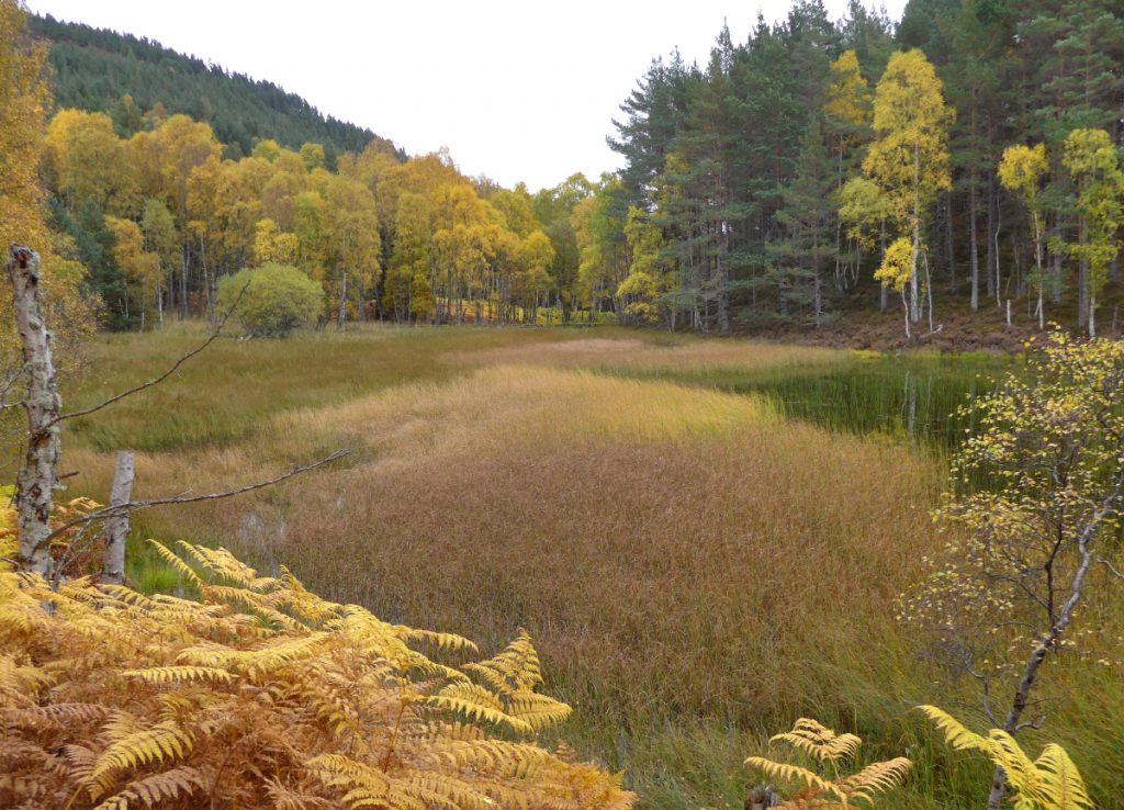
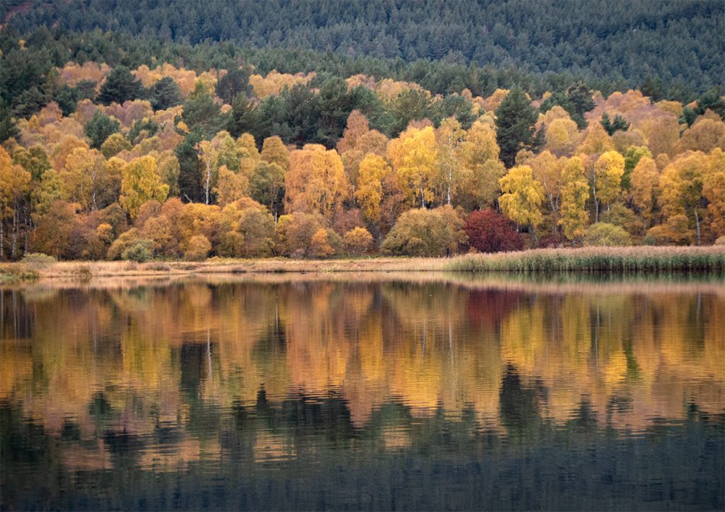
Eventually I hacked through to a trail and got running again, first I’d head down to check out a pool on the Culsten burn then continue east.
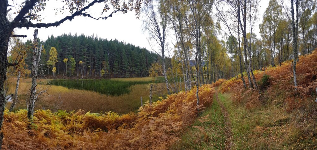
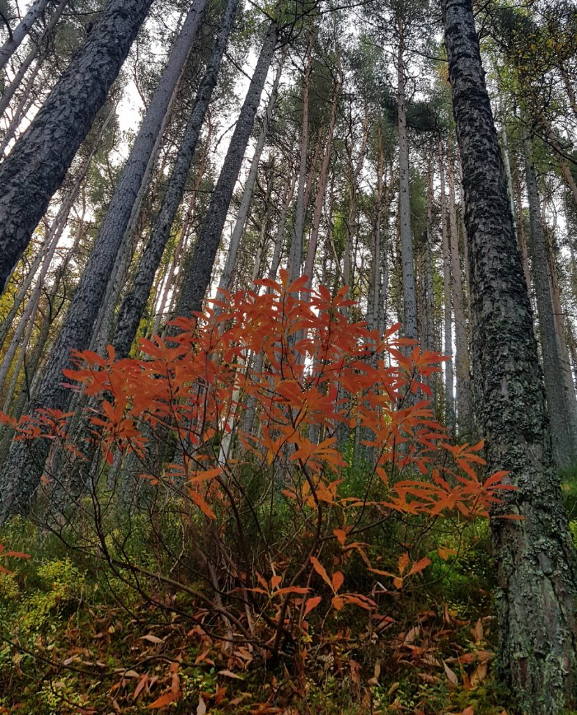
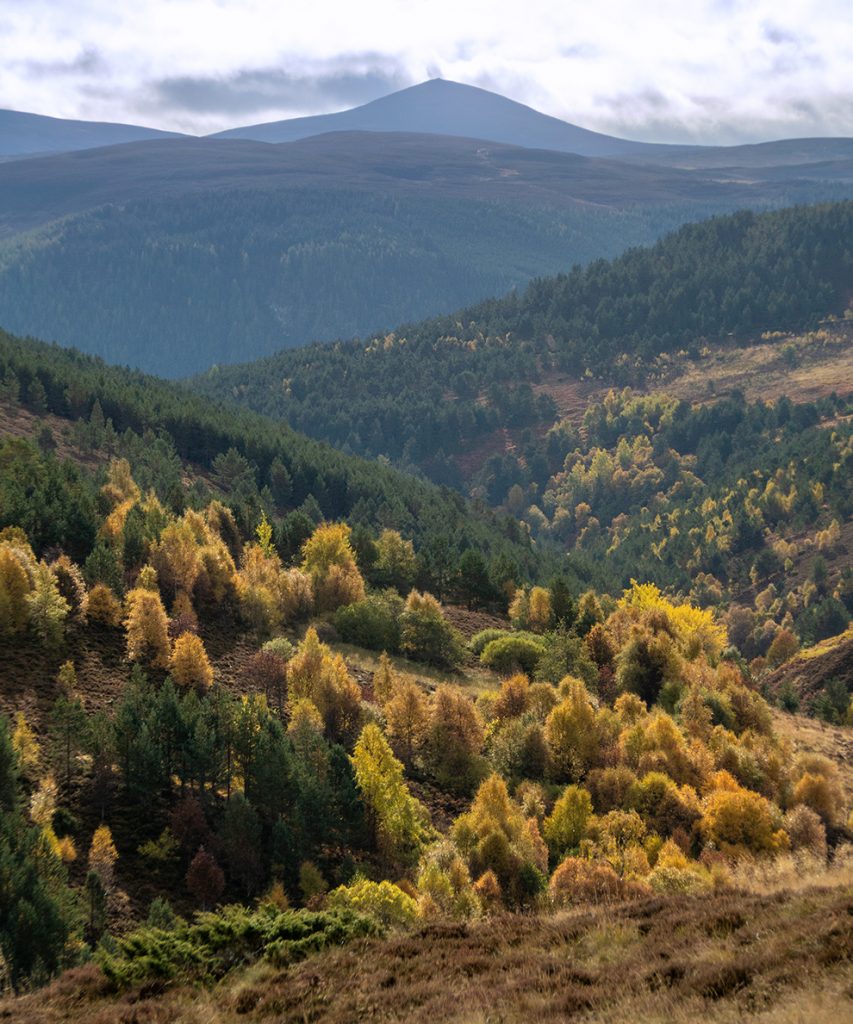
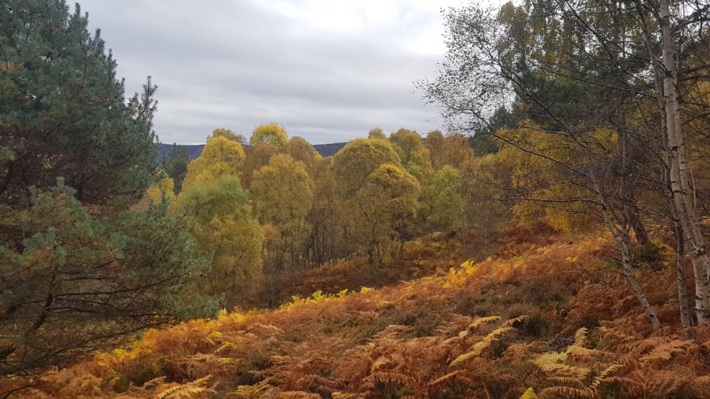
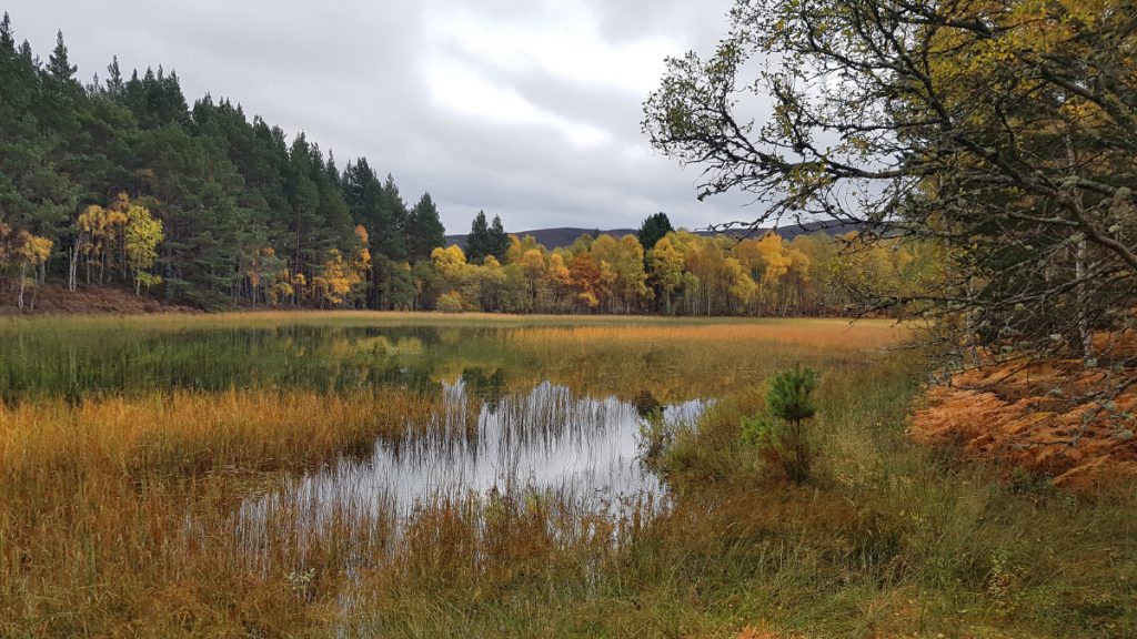
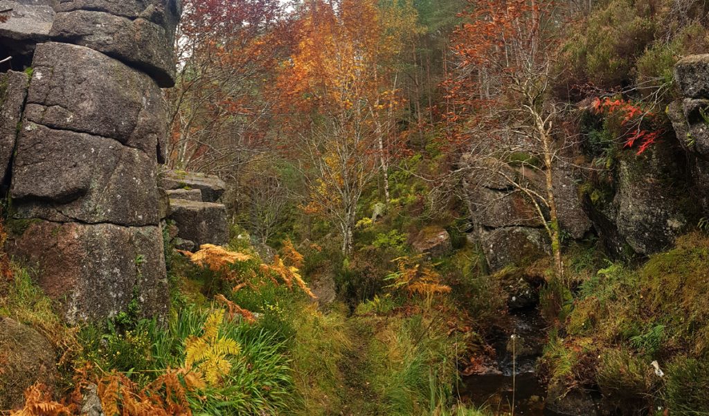
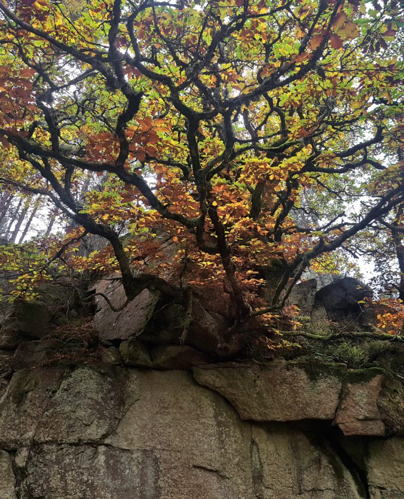
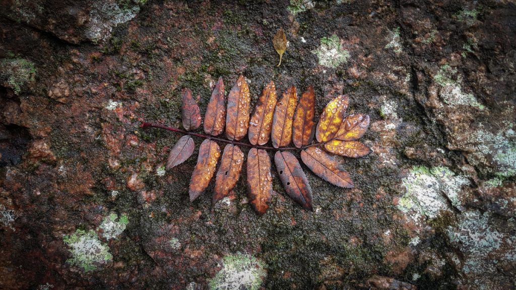
I’m glad I decided to check this out; autumn has blazed it’s wand kindly here creating an oasis of golden hues
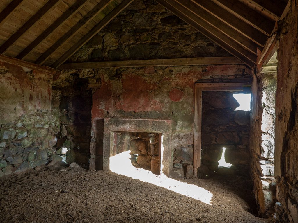
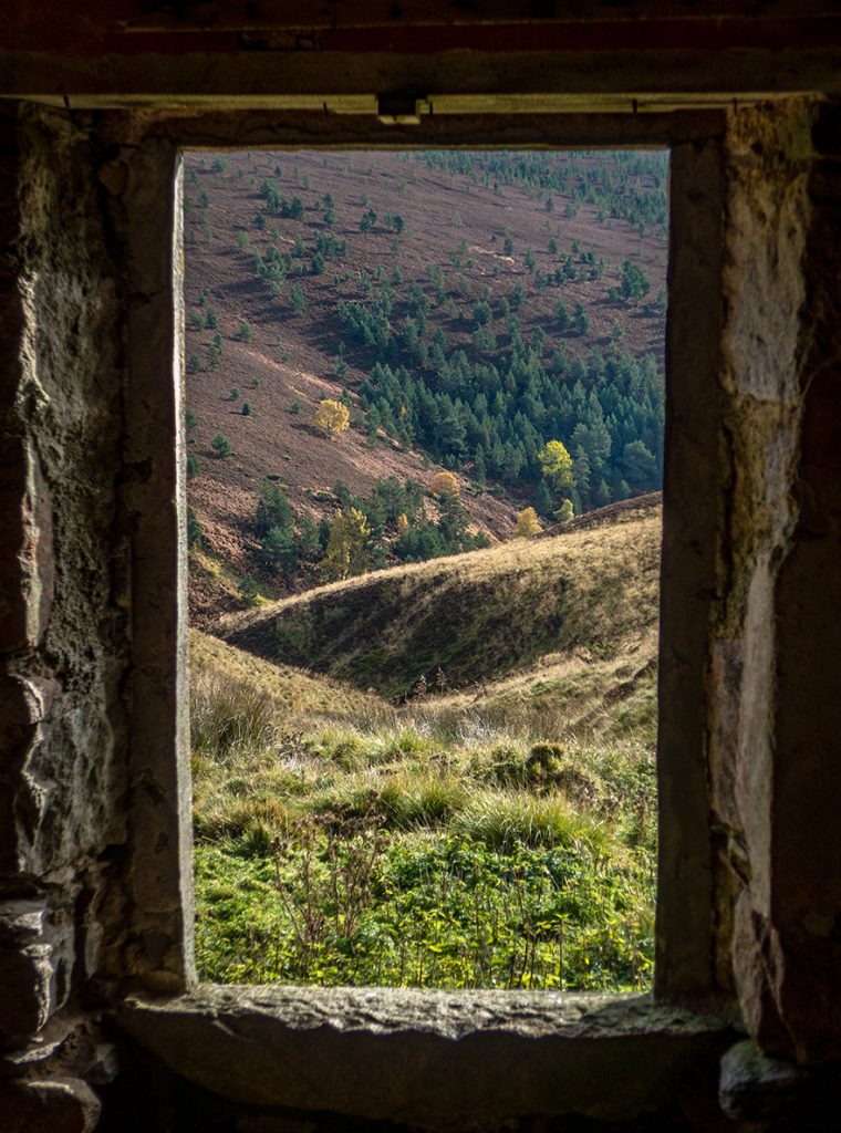
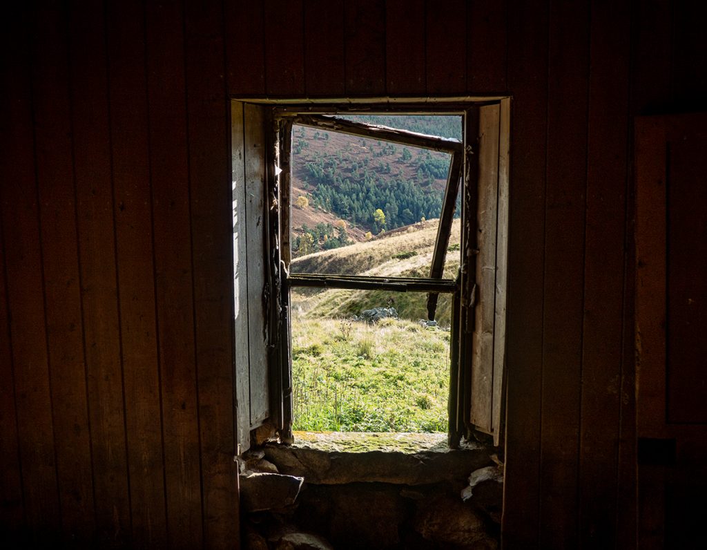
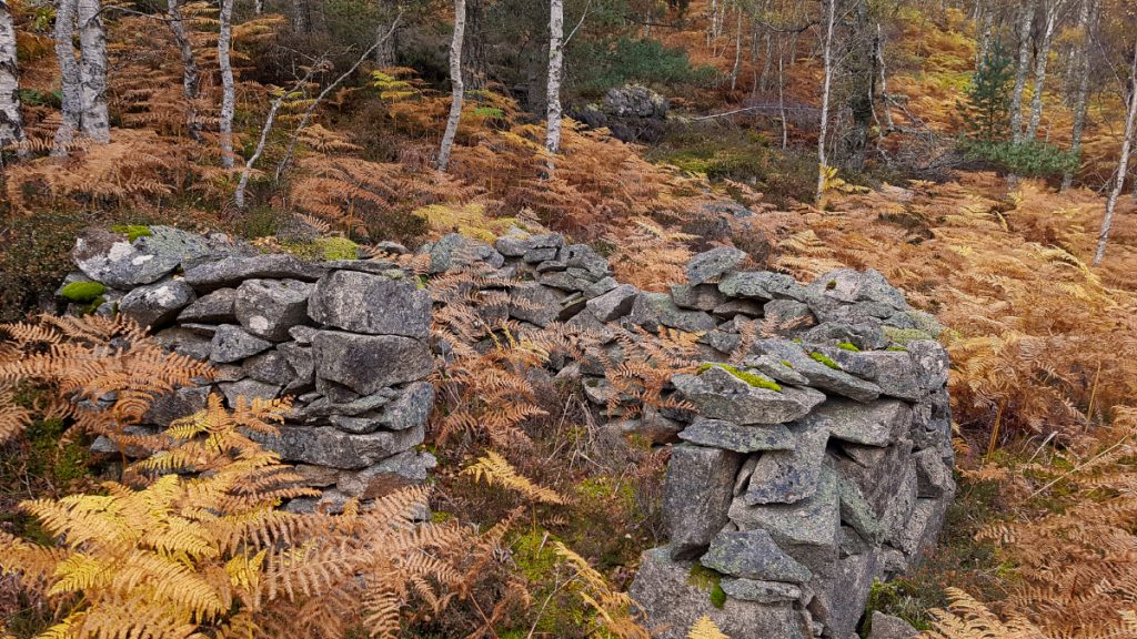
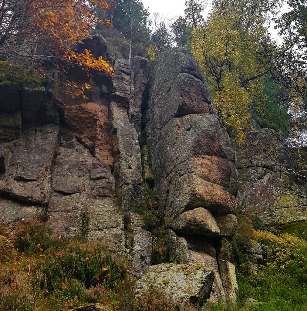
In the surrounds there appear to be some old pits or small quarries (could be natural too I guess) one of them has an old shelter
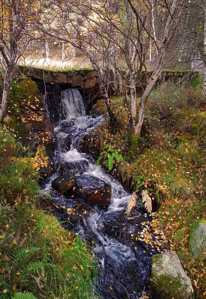
I make my way to the outflow end. There’s brickwork and either a wall or dam of sorts. It looks pretty old n rickety; not sure I’d like to stay in a house downstream of this. Water is springing through in rivulets in various places.
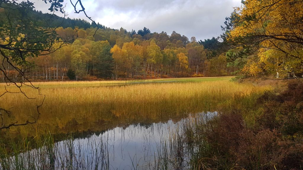
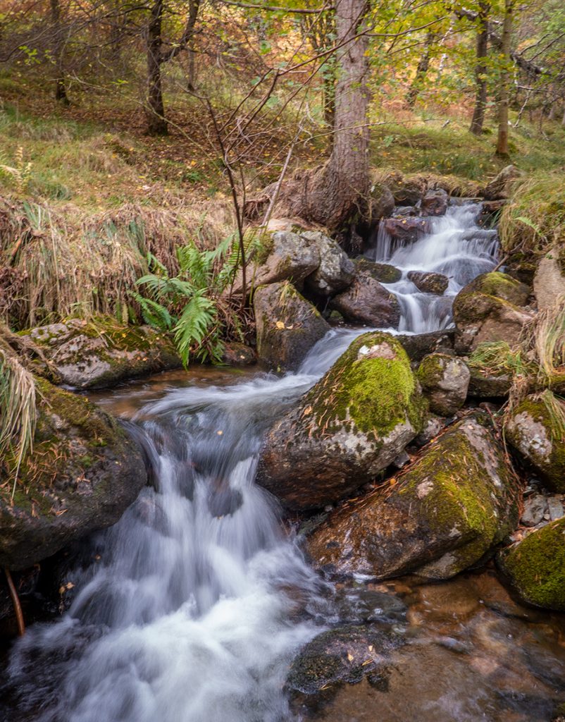
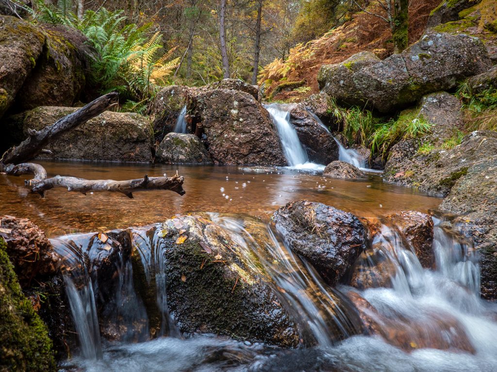
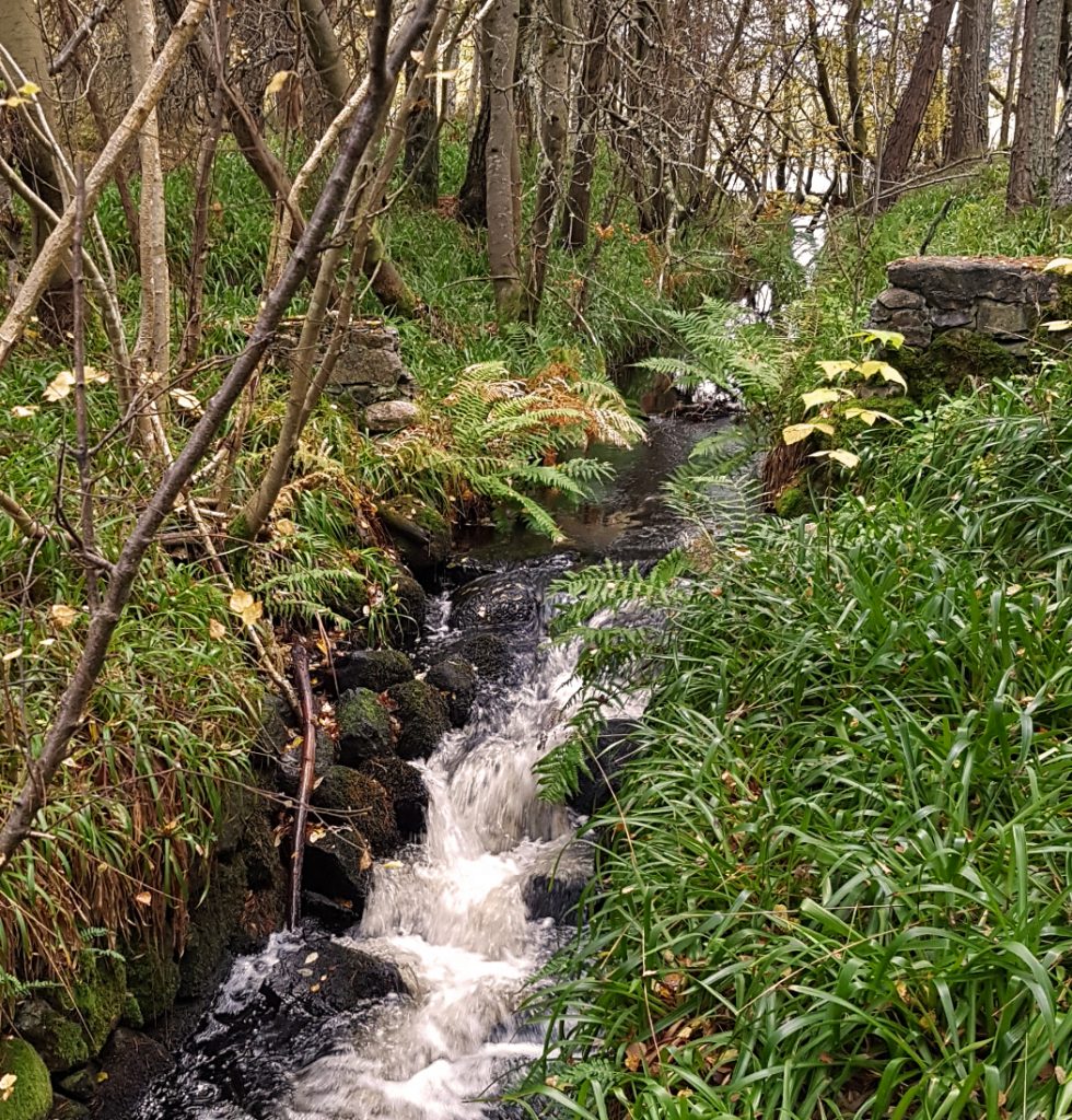
I made my way back round the pool and then across the Culsten Burn at a ford on the path where there’s a nice tumble of water.
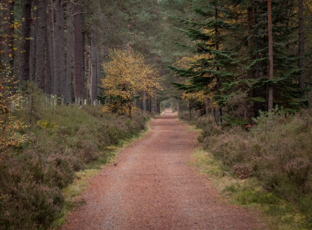
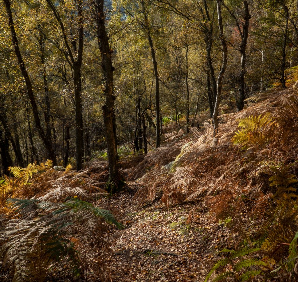
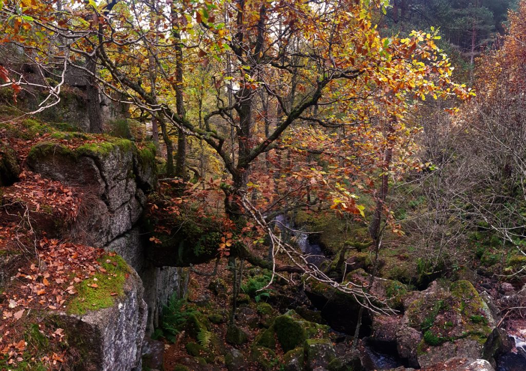
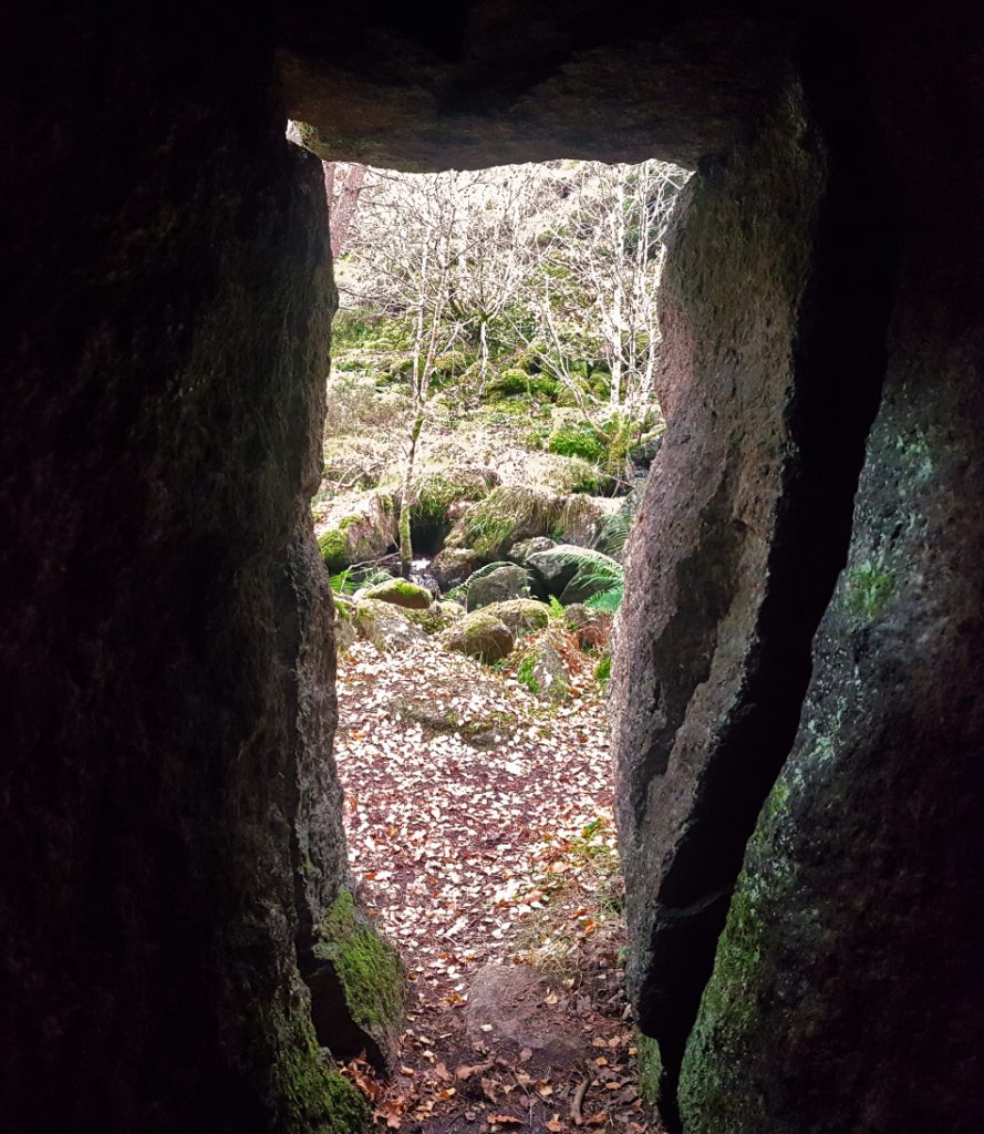
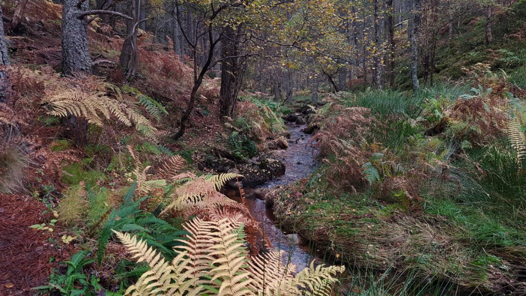
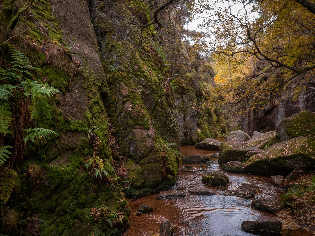
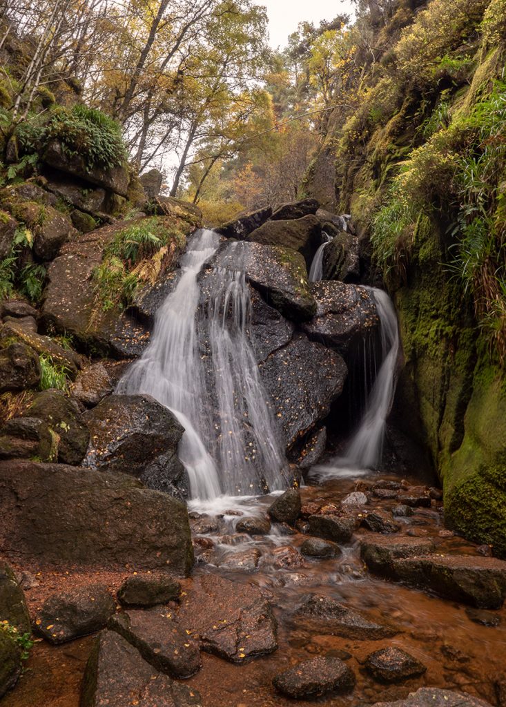
After 2km of trails through the woods of Cambus O’May, I entered into the Vat burn gorge.
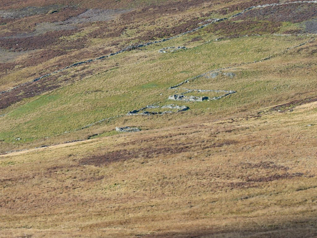
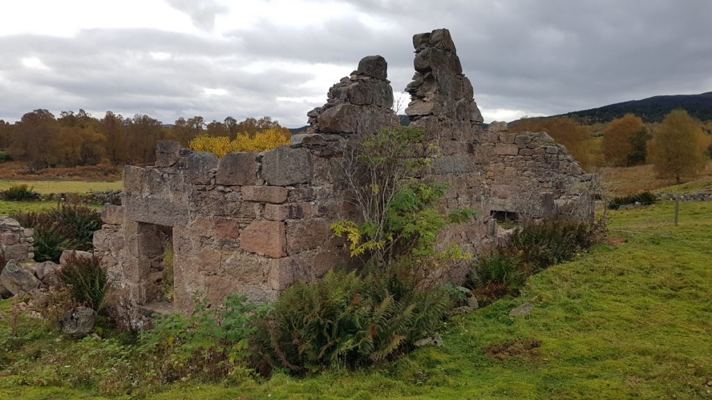
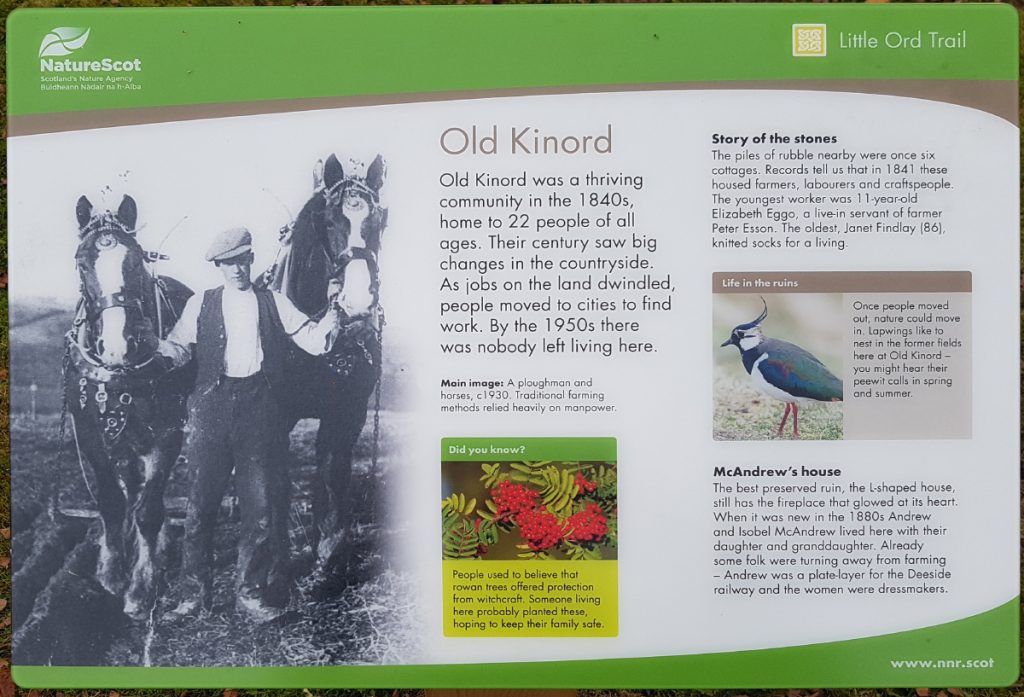
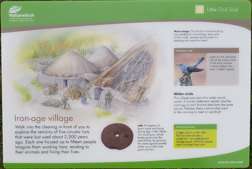
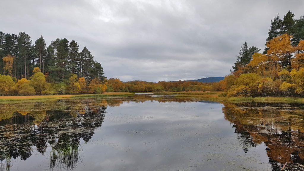
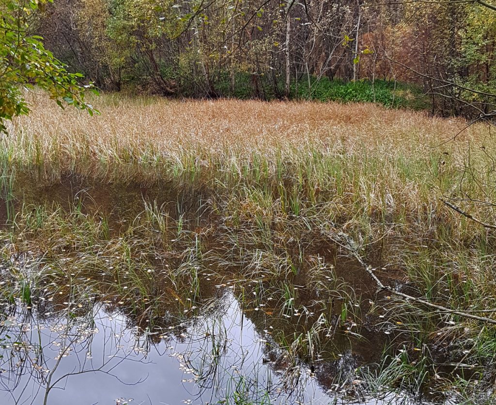
Rather than head directly to Dinnet I thought I’d peruse the north side of Loch Kinord. First passing the ruins of Old Kinord then having a peak at Loch Davan
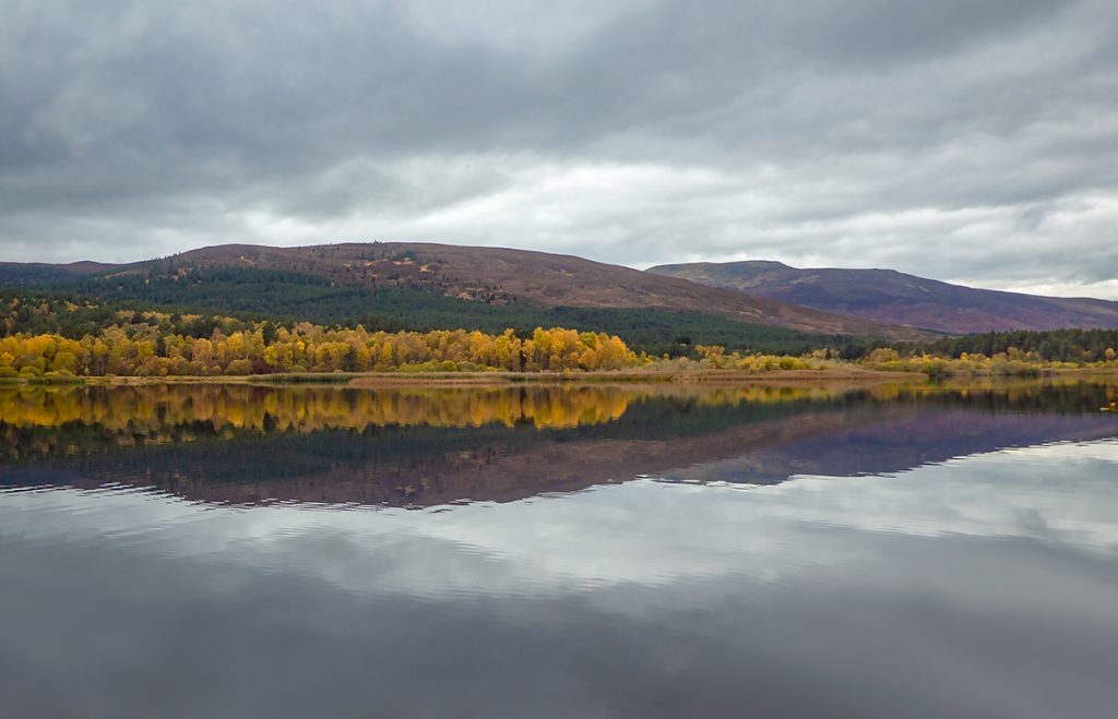
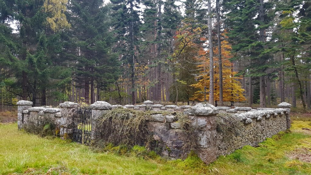
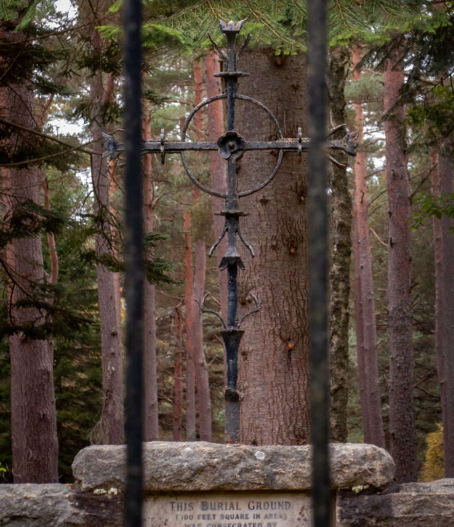
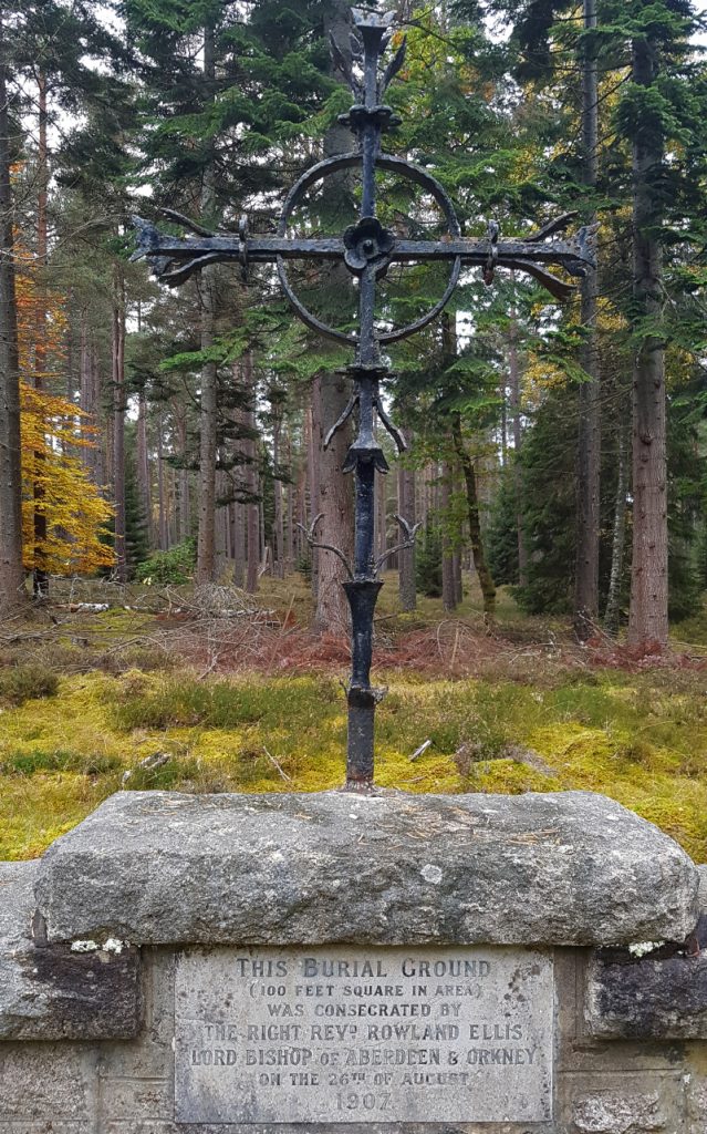
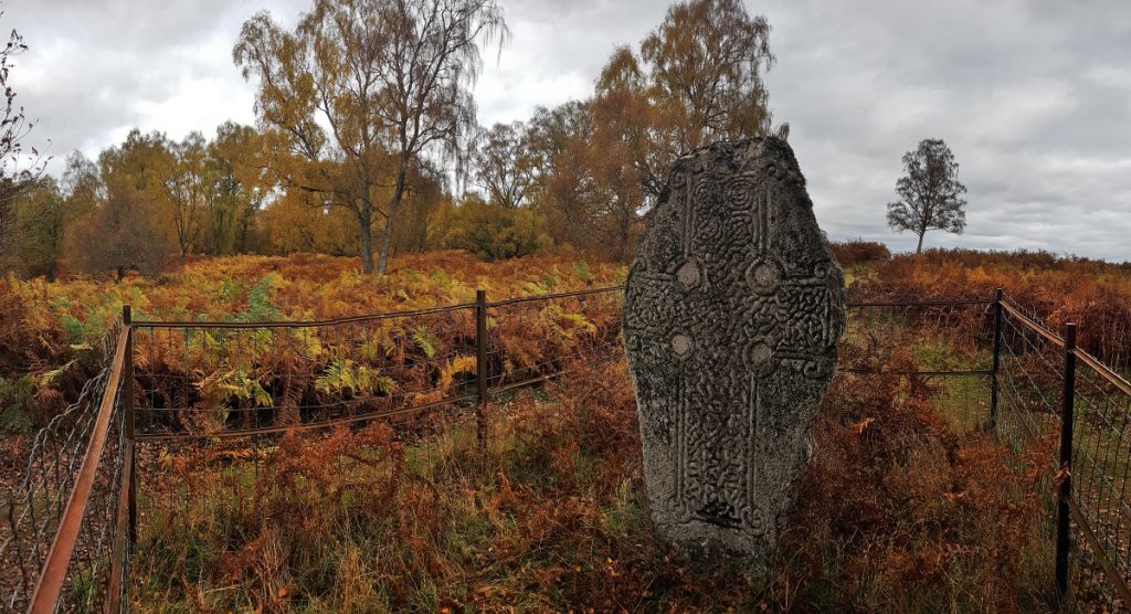
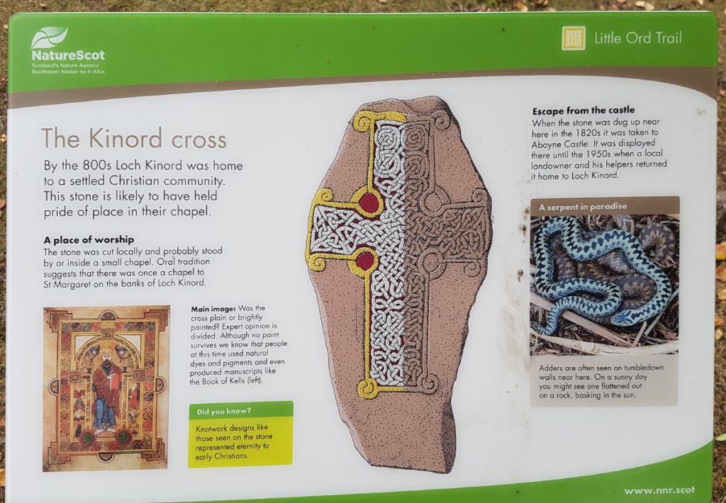
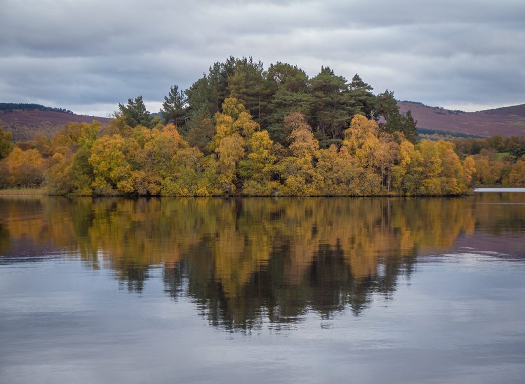
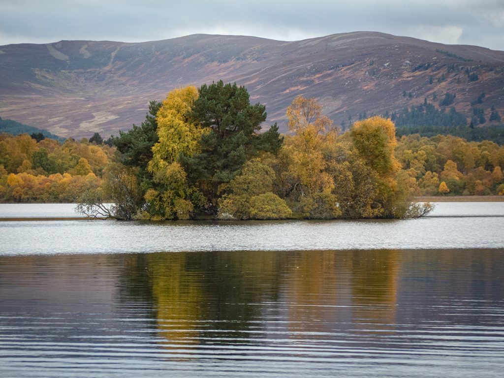
I decided to head back along a bit of the Loch Kinord shore to see the cross and the cranog islands surrounded by autumn colours. This web site has some great info on the various islands.
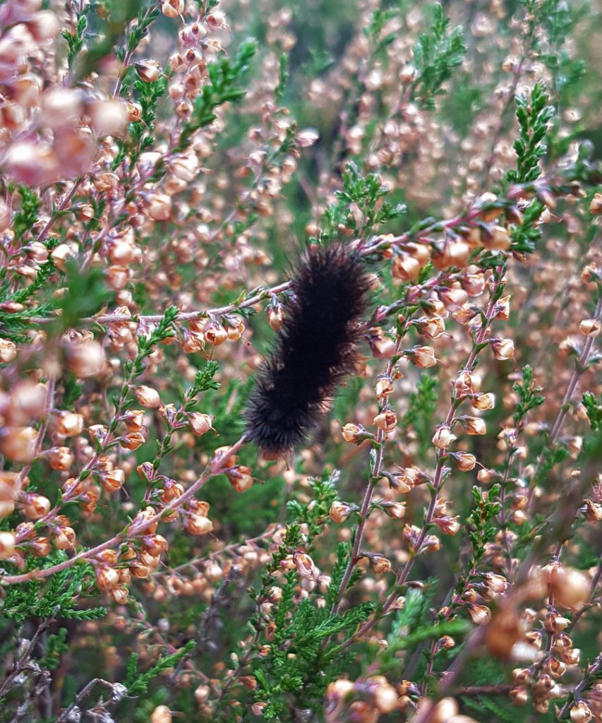
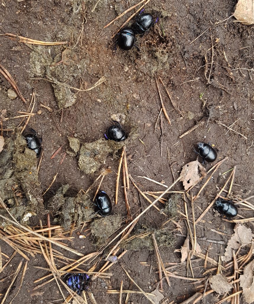
A section of mud/rocky path is littered with beetles, hundreds of them, some sort of mass swarm. Being a path with a fair bit of footfall, there’s loads had been crushed unfortunately by bumbling strollers oblivious to what’s going on underfoot.
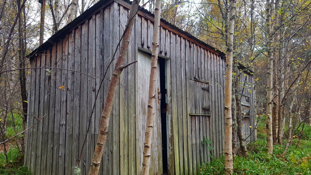
I’d never paid much attention to the shed by the pond but the door was ajar so had a nosey. Clearly the pond was a curling pond from the stuff left behind
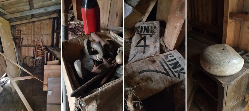
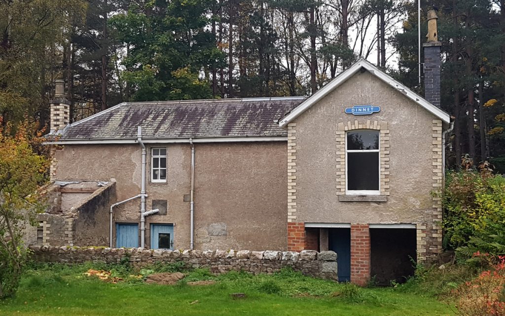
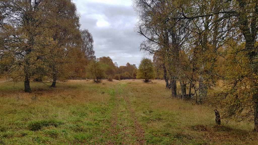
A shame it’s no longer used but I guess with warmer winters there wouldn’t be much play most years. I’d arrived at Dinnet but had some time to kill before the bus arrived so continued onwards for a short wander. 30+ km today all told, and some interesting new places explored.