It’s been quite a while since I’d been to lower Glen Avon, so I joined Aberdeen Hillwalkers on a through route from Cock Bridge to Tomintoul, via a gully called The Eag.
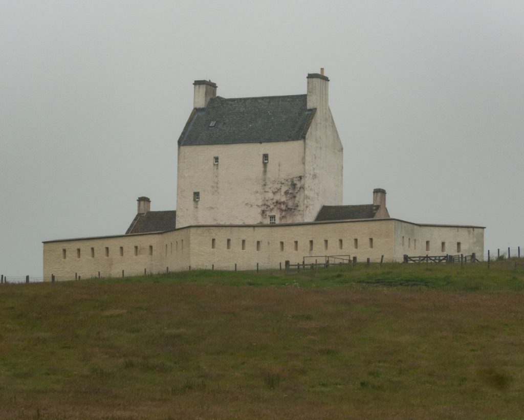
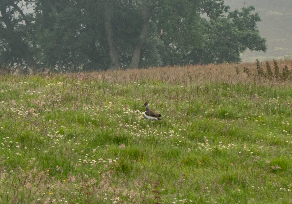
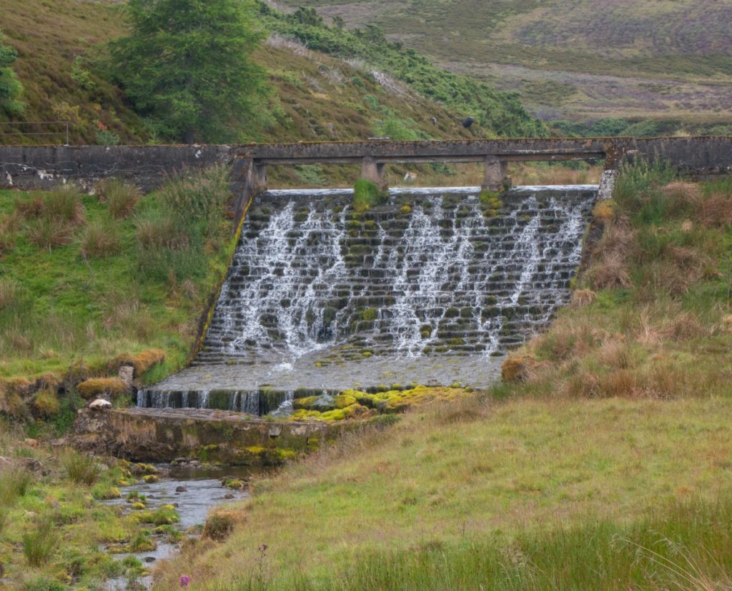
We started off in murk along the good tracks heading west, soon passing the castle and then the dam. The grasslands here had a few lapwings with their distinctive cries audible.
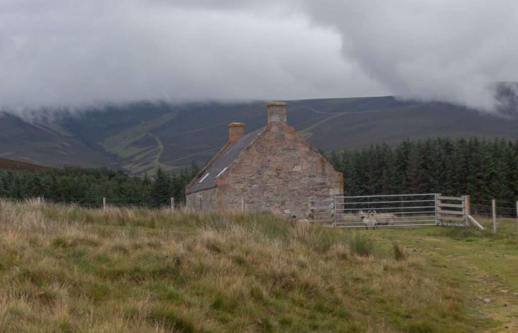
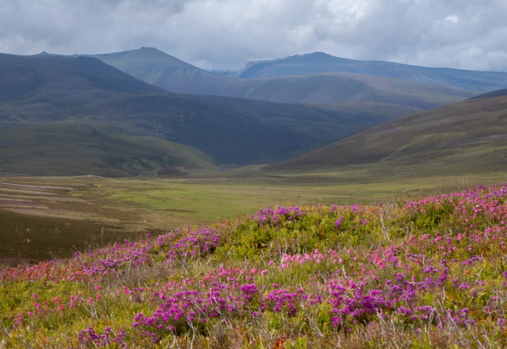
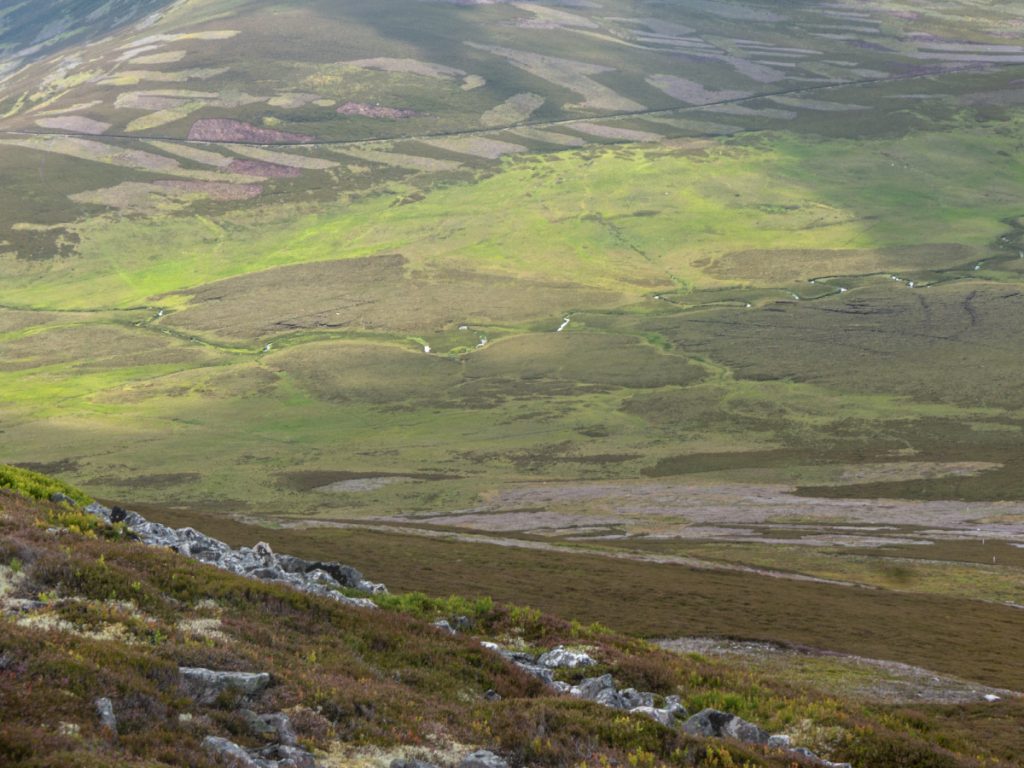
At the foot of Craig Veann I departed the track, thinking to gain some height and get a good view of the Ben Avon, and for a bit of ascent exercise on what was a fairly flat day out.
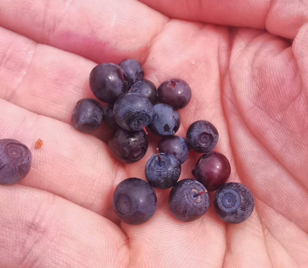
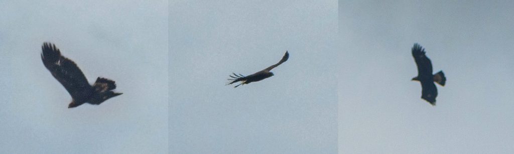
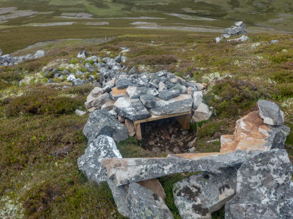
I was paying attention around my feet, first to the plentiful blaeberries, then higher up some rocky bits, when a movement nearby had my head up.. an eagle first flapping, then soaring into the wind and circling to gain height overhead. There was no sign of a carcass so thankfully I’d not scared it off a kill. There was an odd wooden cubby hole nearby though, hopefully not something hidden for gamekeeping dark arts.
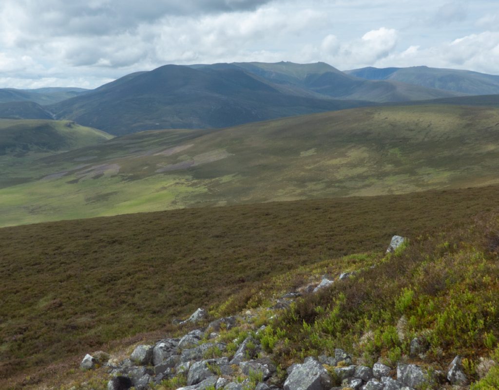
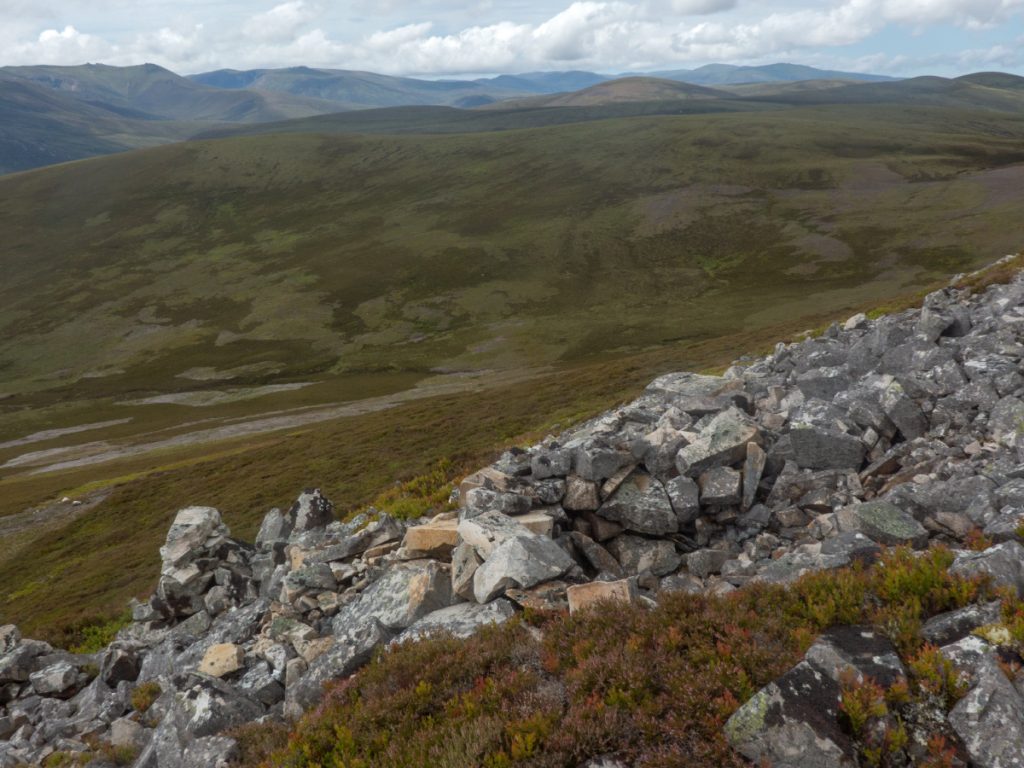
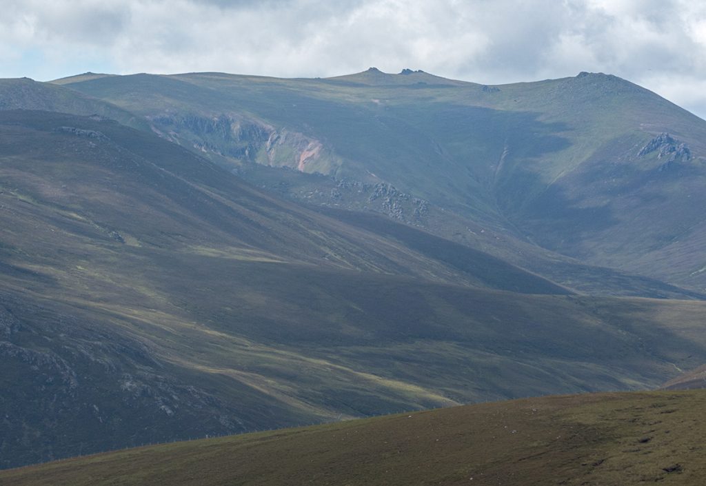
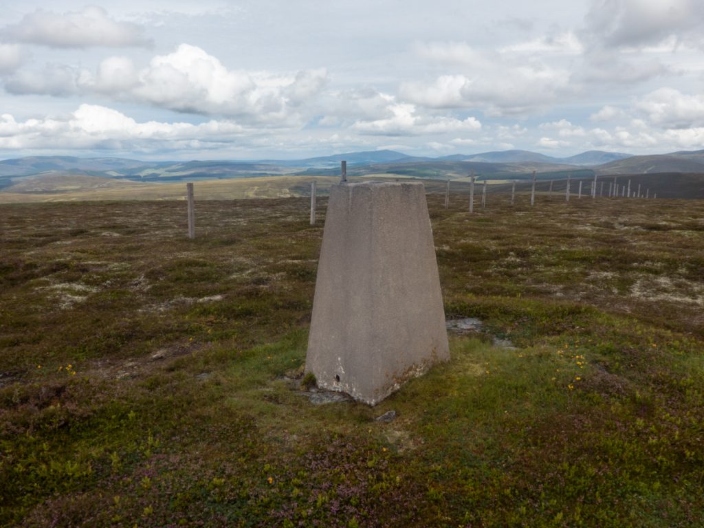
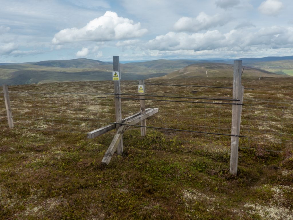
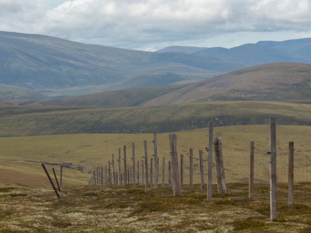
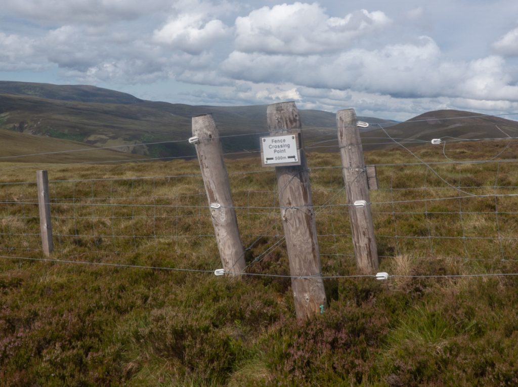
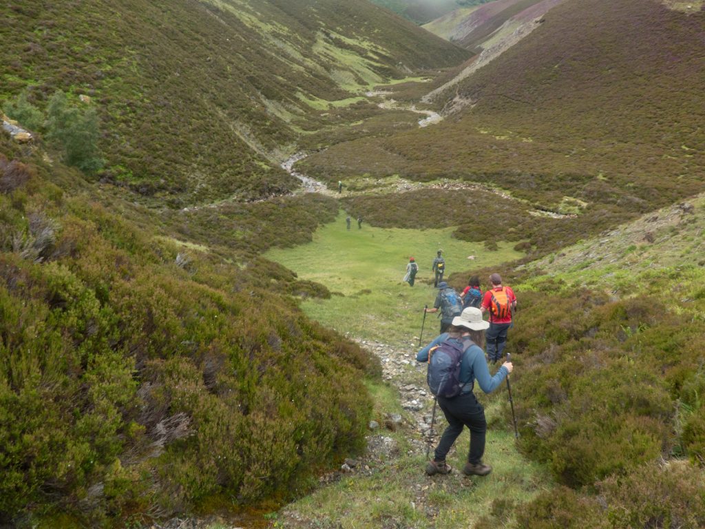
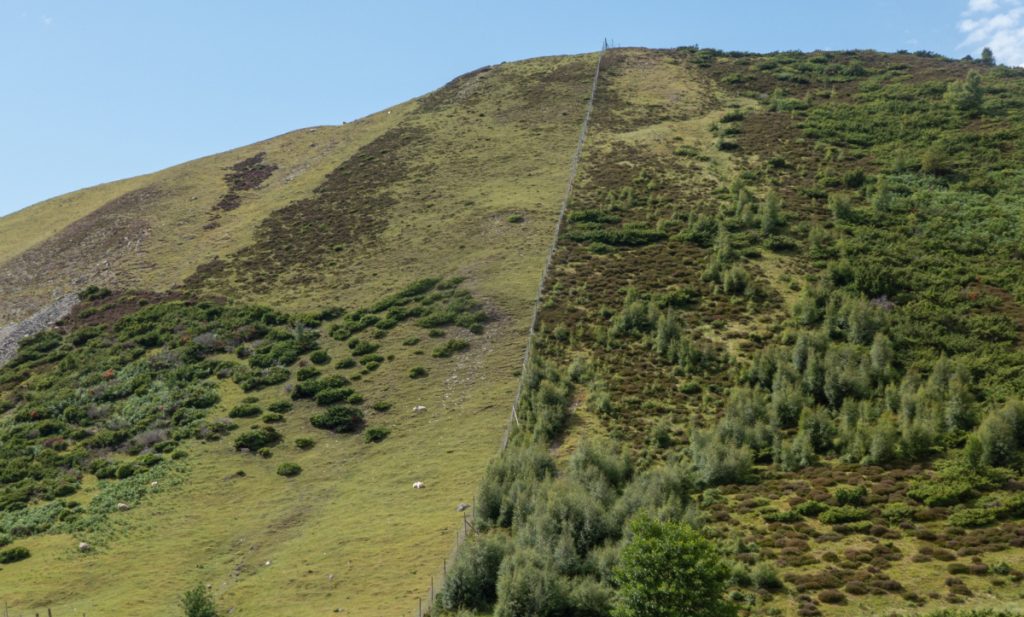
The top had a good view to the northern corries of Ben Avon, an OS trig point and an electric fence with a handy crossing point. We headed down to rejoin the main group seen below at the entry to The Eag, and having rejoined began to wander through the gully.
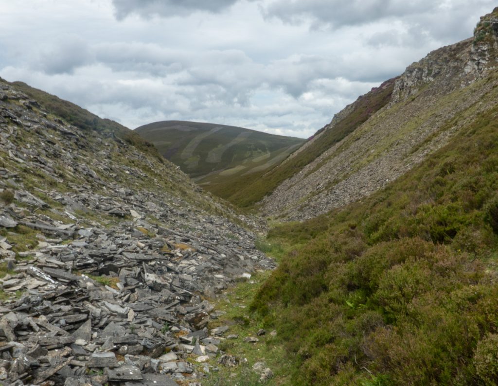
Now sheltered from the wind we took lunch, somebody went up to scramble about but soon came down: the slate strata were fragile and crumbled and flaked easily.
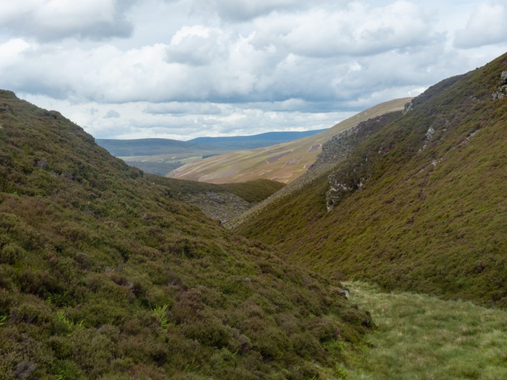
After some grassy interludes, the path began to thread through more overgrown and deep heather, and the terrain more adventurous for a large group of walkers of differing capabilities.
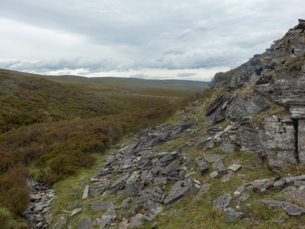
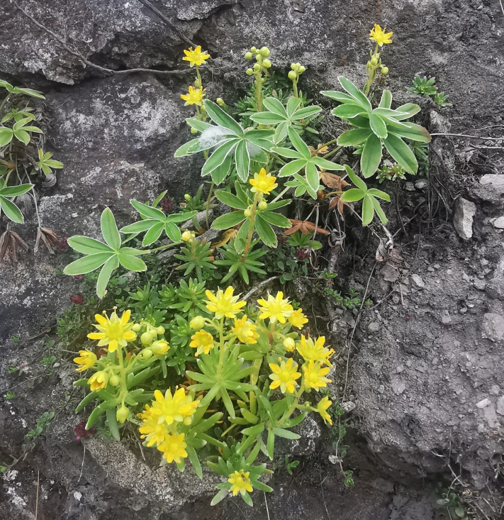
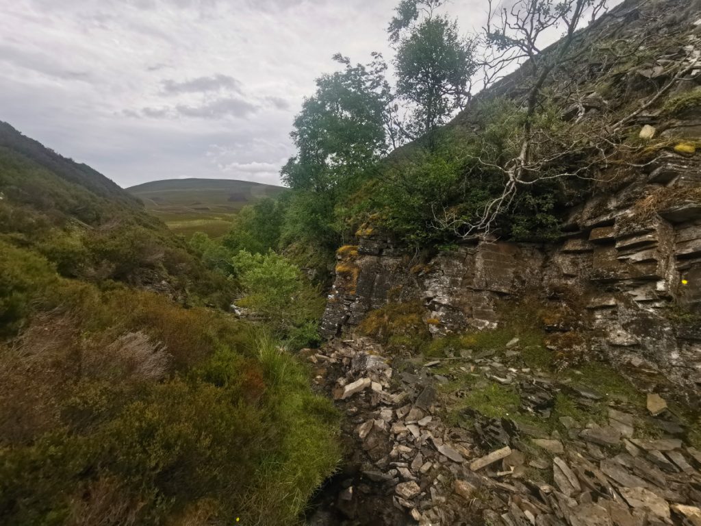
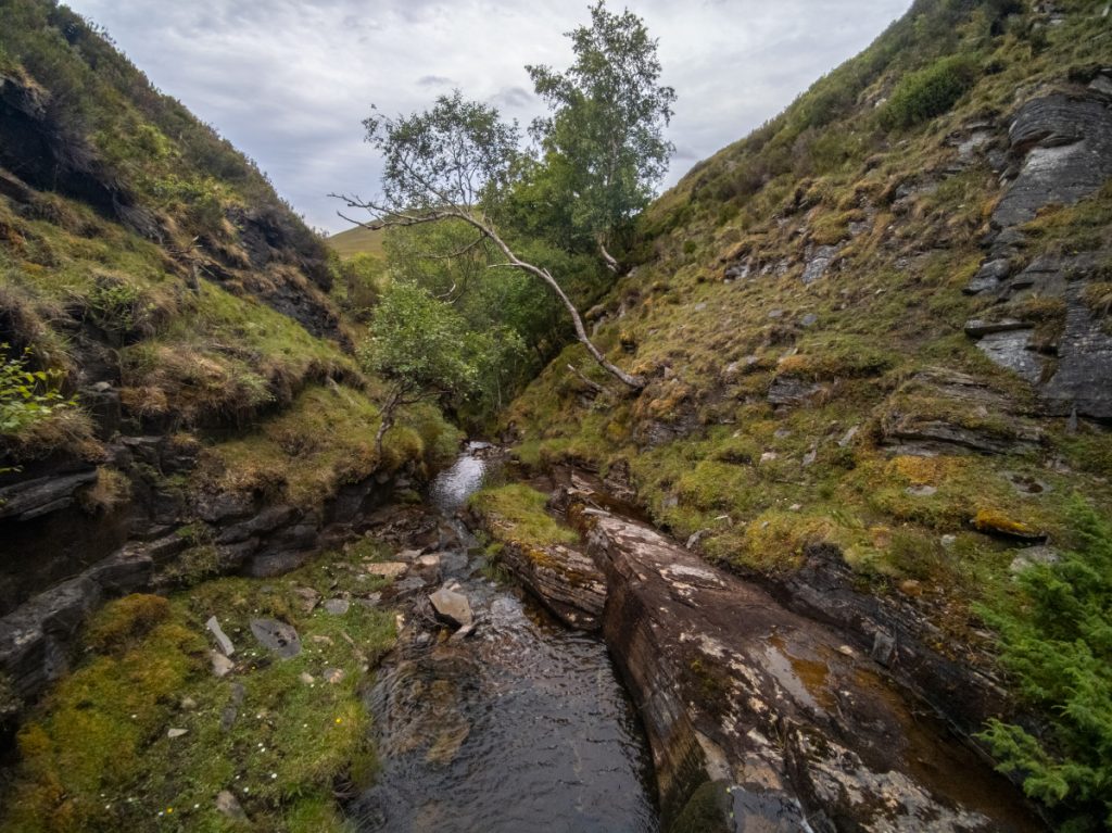
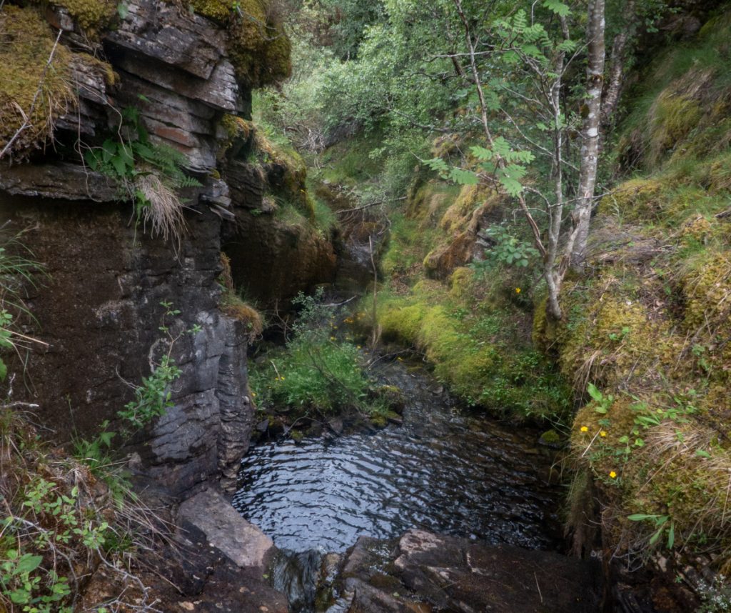
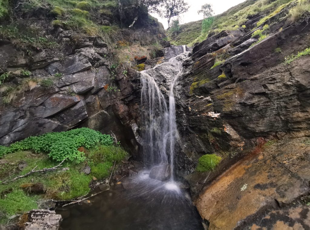
There were a few deer track offshoots heading out of the gully, but no sign of the path on the map at this point. I was determined to stay in gully, but with the group following along behind had to eventually shoo them upwards as things got slabby and steeper. I was defeated soon enough by a waterfall that would have required a dunk into a pool of unknown depth, I had to head back up and out to now rejoin the tail end. There was a clear path along the rim of the gully here and then back down into the wider bottom where some forks joined the burns of Meur Cul na h-Eige (branch of the back of the hack), Luachaireach (rushy branch), an Loin (branch of the marsh). I took a nosey back upstream: another waterfall with rocky edges blocked progress, so there was a stretch of about 70m of gorge unexplored.
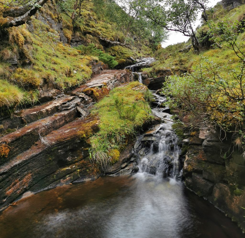
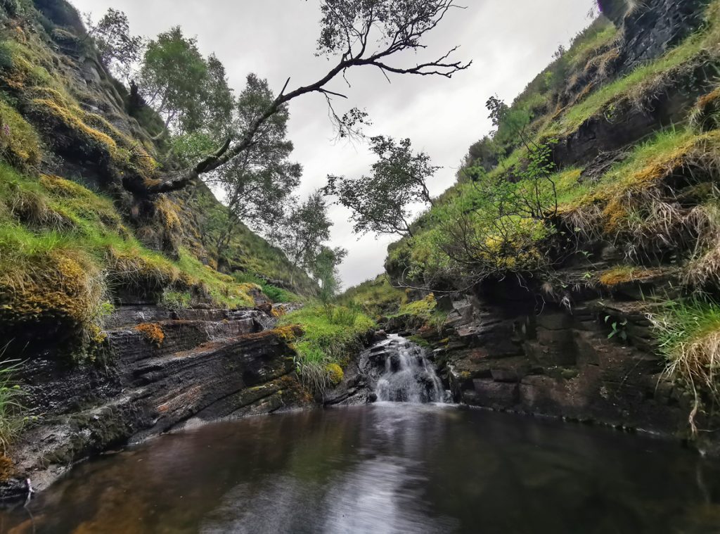
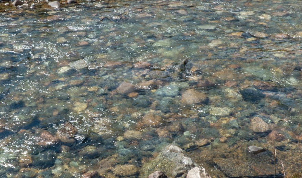
Heading downstream again, the path fizzled out, and easier progress was made hopping rocks in the main stream rather than thrunging through vegetation. Today’s low water made this possible: things would be a much different story a times of rain when this would likely be dangerous.
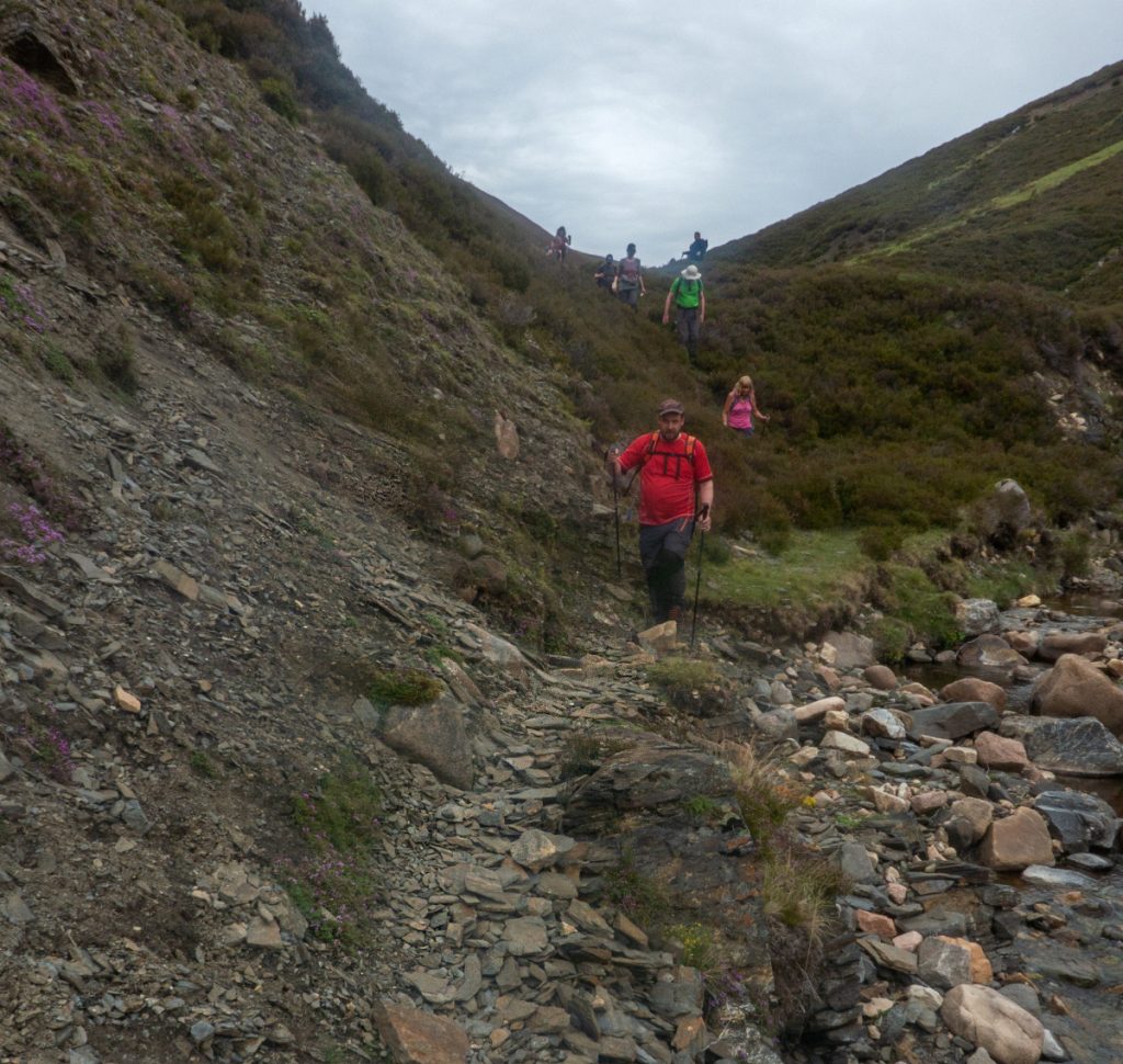
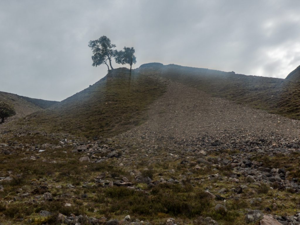
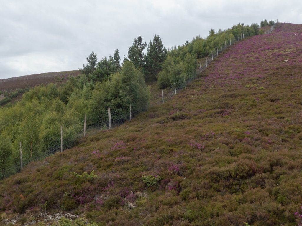
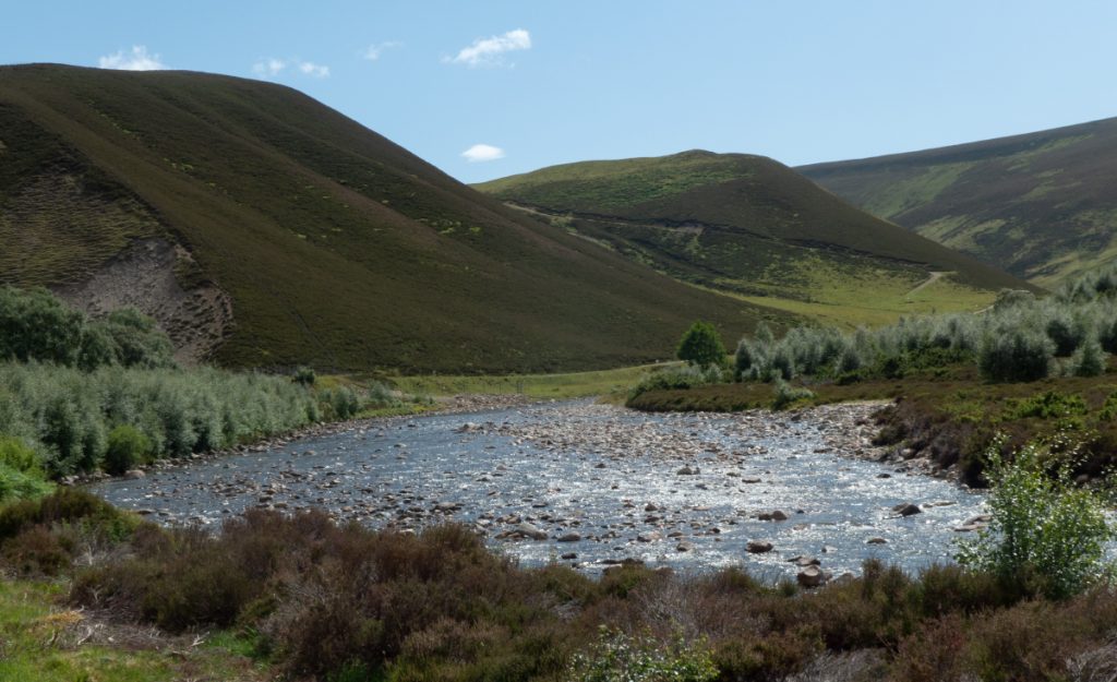
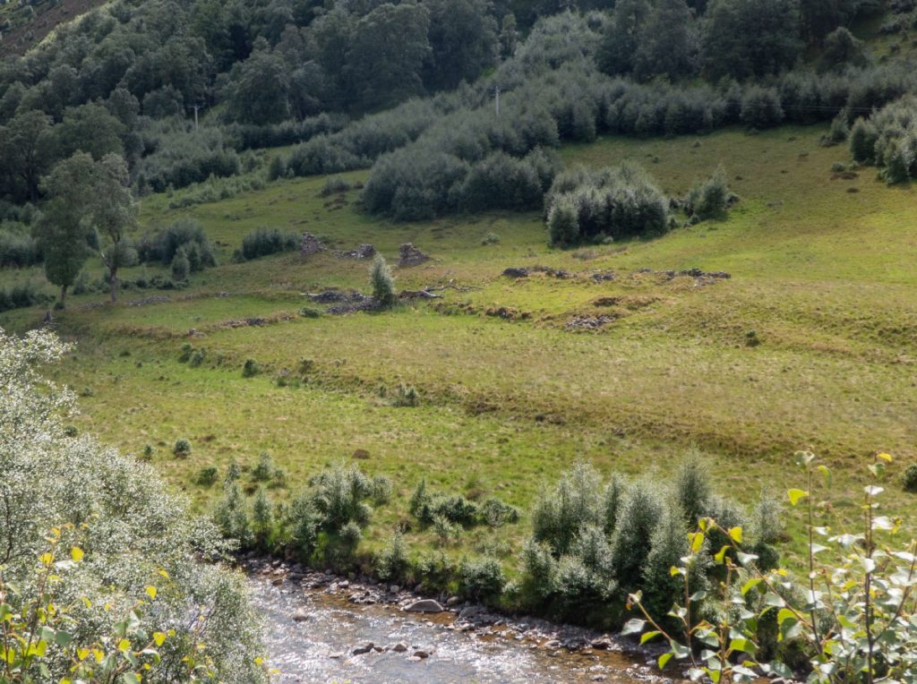
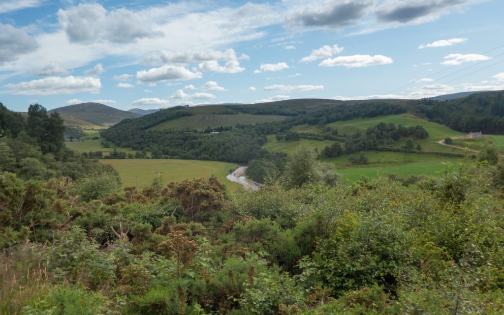
A track was reached and shortly we were out of the gully and back on tarmac in Glen Avon, with it’s sparkling river and grassy meanders.
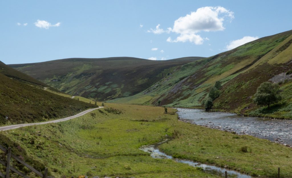
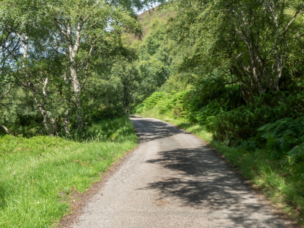
The heat would have been oppressive on the road back, but there’s trees lining the road.
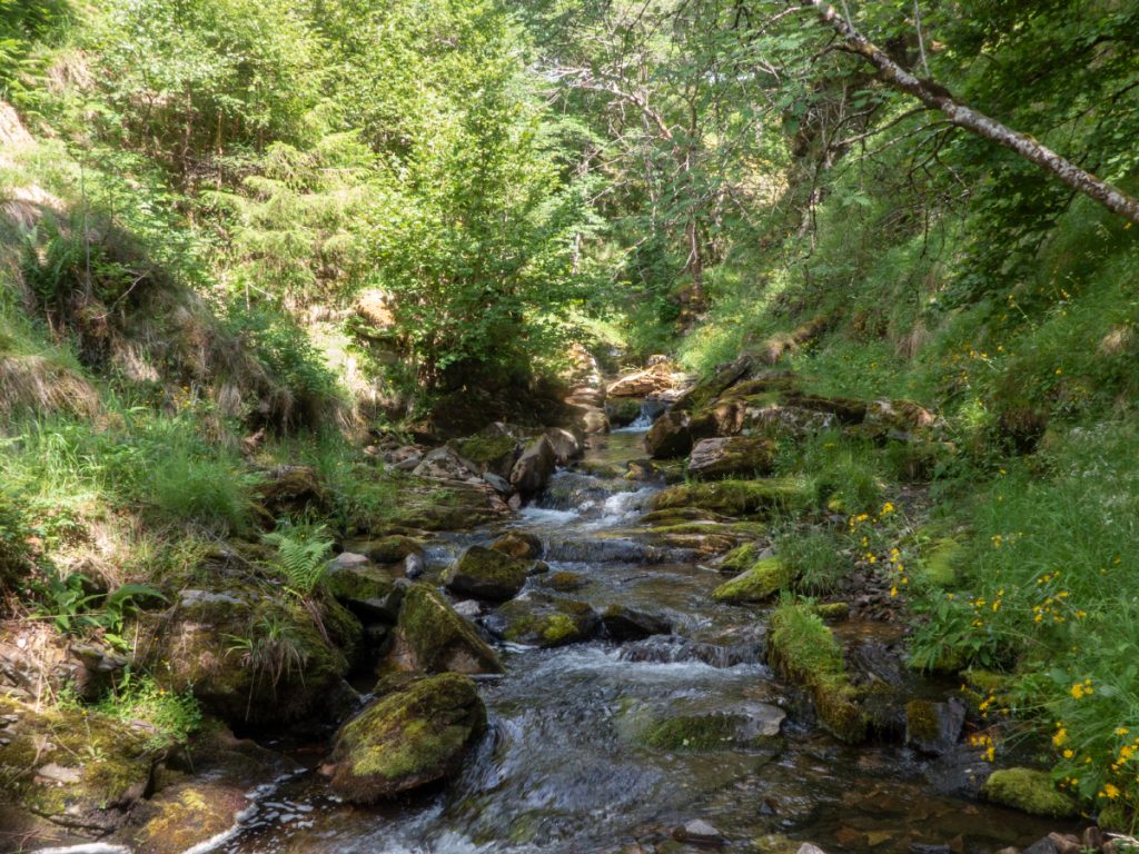
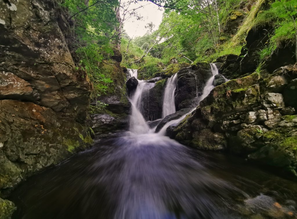
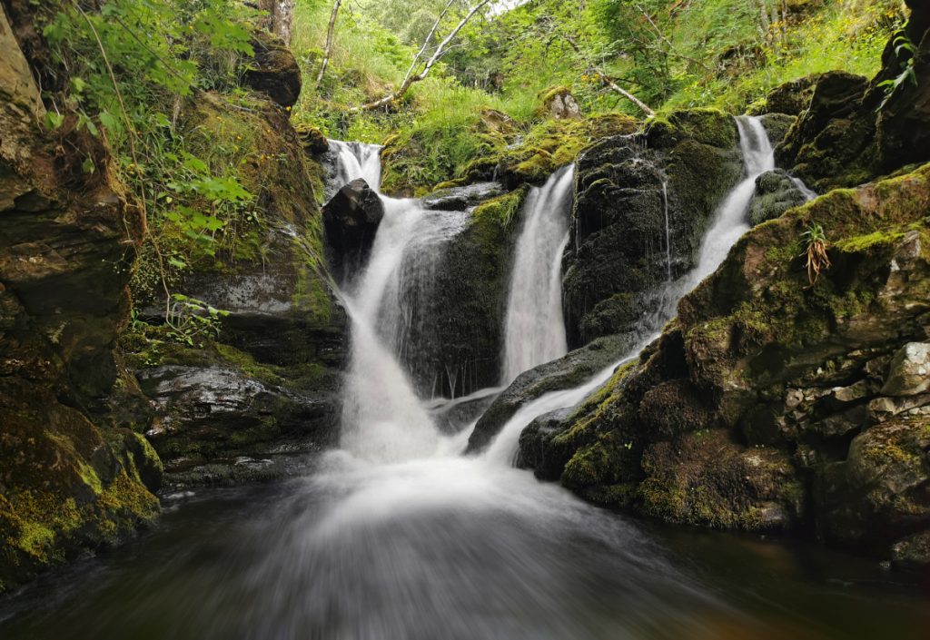
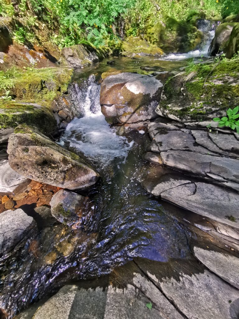
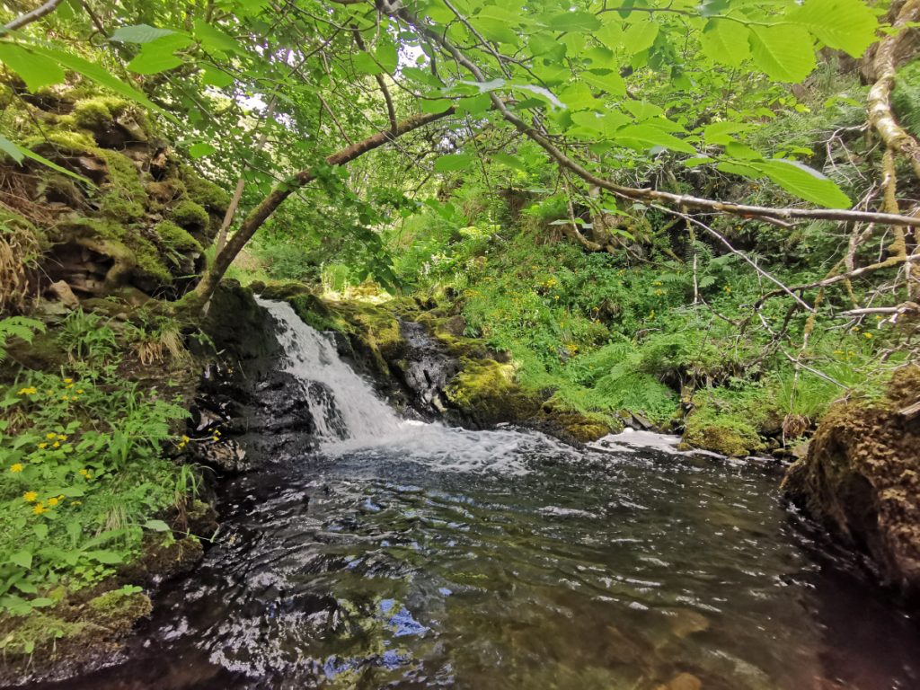
I took another excursion up a sidestream to see some waterfalls on the map, small but in a fenced-off area they were green and leafy glades. The 1st was easily found, the 2nd required some clambering and the 3rd above not reachable from below without a swim.
Back on the road, hammer put down to catch up with the group; a brief look at the not-very-exciting “viewpoint” and then into Tomintoul for an ice-cream while we waited for the coach to head off.
Hi There
Thank you so much for this amazing blog!
I stumbled upon it on Reddit some 3 years ago and have been reading it ever since.
I love that you show us all these nice adventures and give interesting info about the landscape, history, wildlife etc.
Also, your little trips off the beaten track leading to some hidden gems are just wonderful!
I’ve come up with some of the same trips by myself, but for many I got inspired by you.
It’s just so handy to have a selection of such varied trips (Devil’s Pulpit, Elsick Mounth, Lairig an Laoigh, Tarland etc.)
Greeting and much appreciation from Switzerland
Flo
Hi Flo, glad you’ve enjoyed some of the posts and that it’s inspired some adventures of your own. I’ve not been to Switzerland (yet) but it’s also a beautiful country that I hope to get to some day.
Thank you for the beautiful photographs of the Muckle Fergie. When this part of the country was well peopled James Cameron returning from Tomintoul to his home at night missed his way and slipped down the bank and drowned in one of these pools. You talk of going back to explore the burn further. Did you ever do so please? If so did you take more photos that might show the green bank down which he slipped to his death. It is a beautiful spot to have been someone’s last though the poor man would hardly have appreciated it. He was, as you can imagine quite a character and I only know a very little about him so far but every little helps as the Tesco ad claims.
Thanks for the comment, I wasn’t aware of the story of James Cameron. If you have any links or more info that’d be great. I could see from my visit here how it’d be easy to slip from above to one’s doom, both steep green slopes and some rock drops. I had a look for more photos but I only had one more angle – I do recall it was a pretty slippery place and some of the shots were taken teetering on moss-covered rocks, so as often the case in such scenarios the hands stay mostly free of a camera to concentrate on staying upright. I haven’t been back unfortunately, but if I do so I will update the post with anything new. Here’s the only other photo I had from there: https://photos.app.goo.gl/Z38BJw9jU29yhRFU8