The hills on the north side of the Spey valley around Aviemore weren’t somewhere I’d ever visited, so I joined the Cairngorm Club to take a route around 3 of the 4 munros in The Mondahliaths.
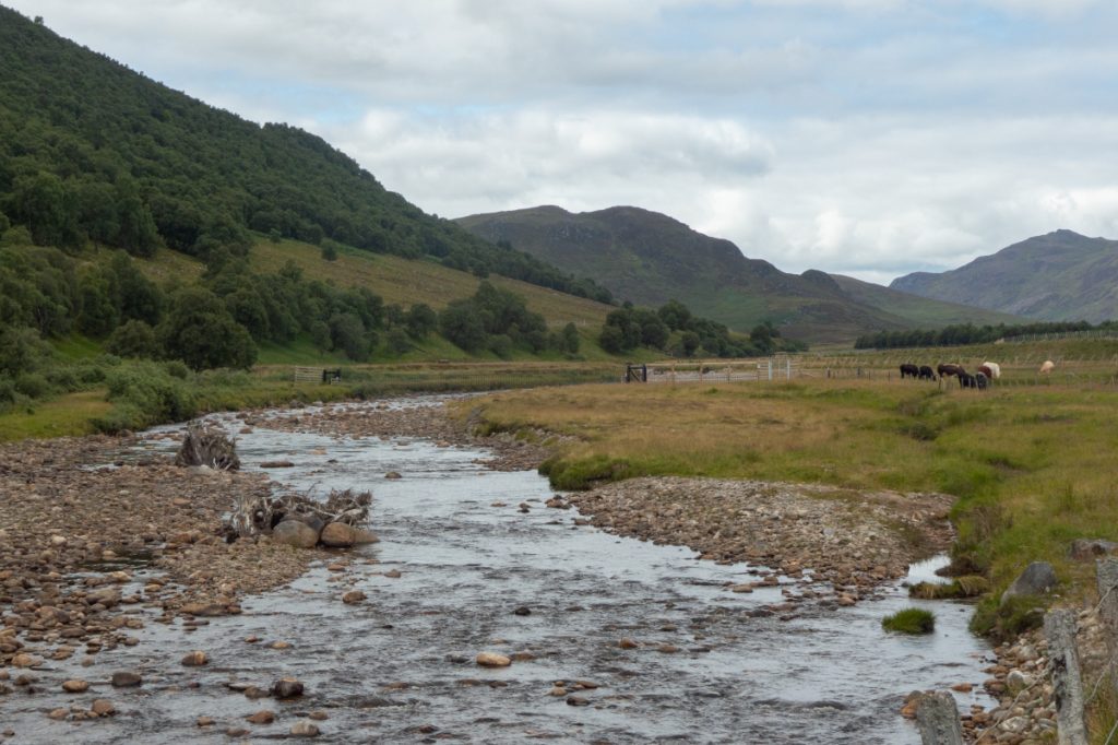
The first few smaller hills we passed reminded me of Cumbria, where the hills may be smaller but are rough with jagged outcrops, and nestled in grassy meadows. In some places there were some wildflowers, but a lot of the area is heavily grazed.
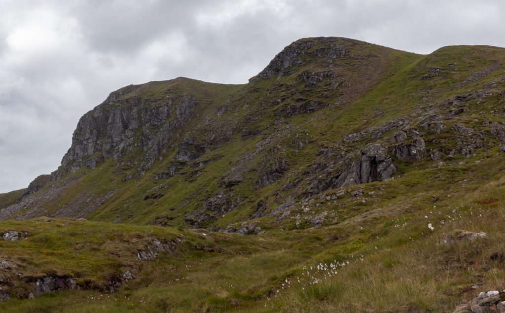
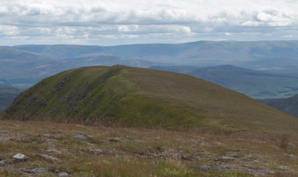
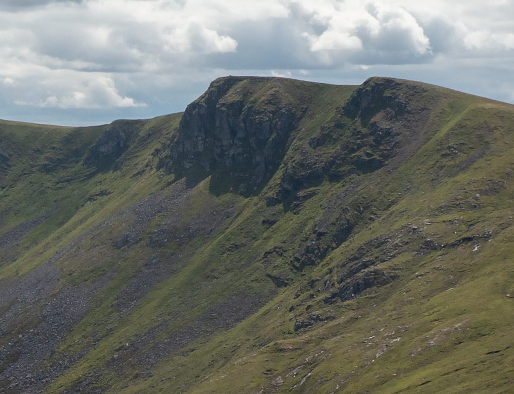
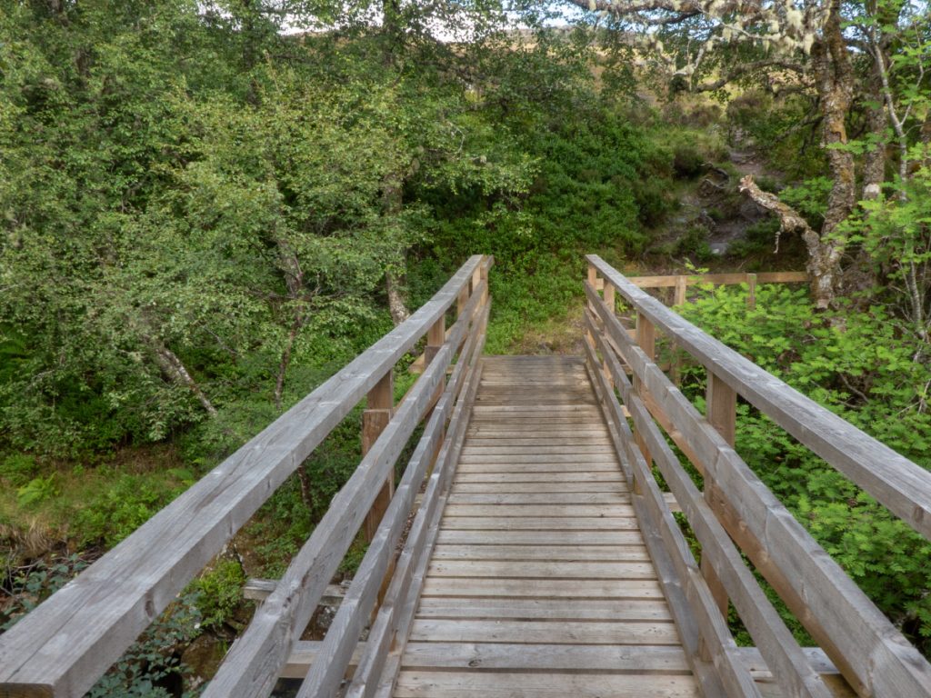
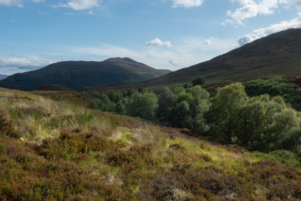
Across the bridge we stopped for a blaeberry break before finding the steep track to the bealach (with oddly ‘sawed’ rocks presumably to increase ground clearance for vehicles). At the top we got our first look at the 1st munro of the day, and as trails fizzled out to dank paths, our first session of bog-hopping.
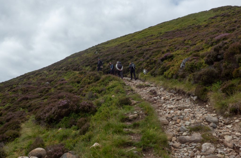
Two of our party decided to cease bog-hopping and stravaig to the gap between Carn Macoul to then ascend steeply on to the rdige heading along to the top. The rest of us plowed through hags, finding another squishy trail along Glen Ballach.
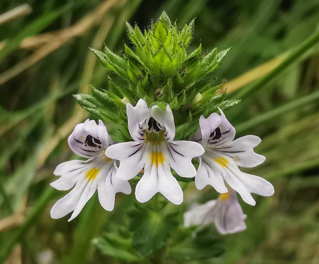
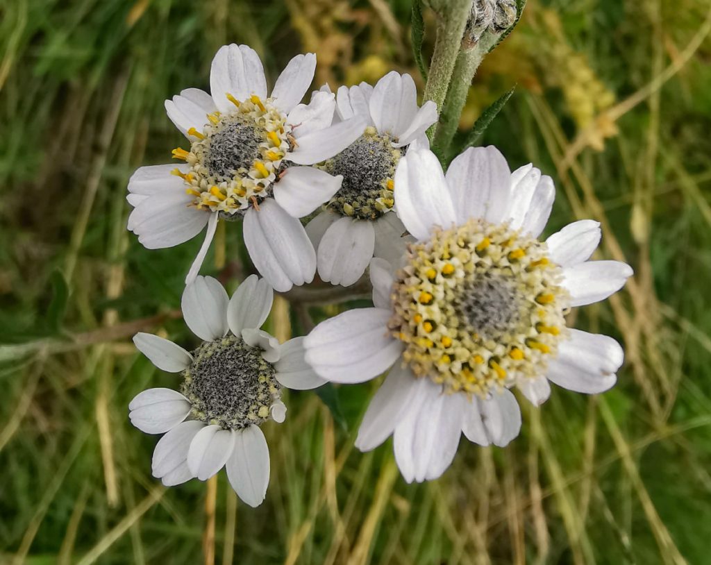
The occasional rustle in the undergrowth at the corner of the eye, were soon identified as lizards, multiple sightings but all too quick to photograph before burrowing into cover. The plants however were more readily captured.
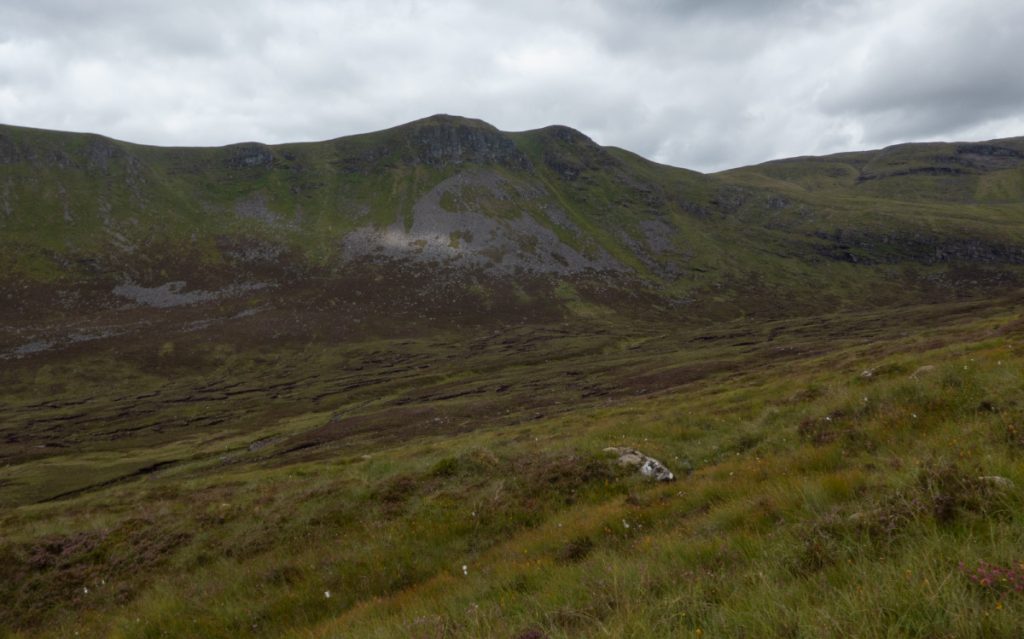
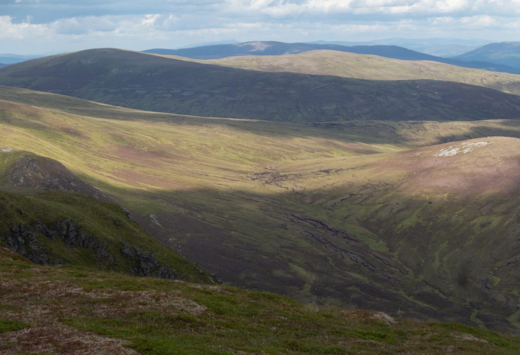
There were a few other parties making heir way: some along the river, some higher up, there are a number of ‘almost a trail’ threads through the boggy terrain before the turn west and up between Carn Ban and Dearg
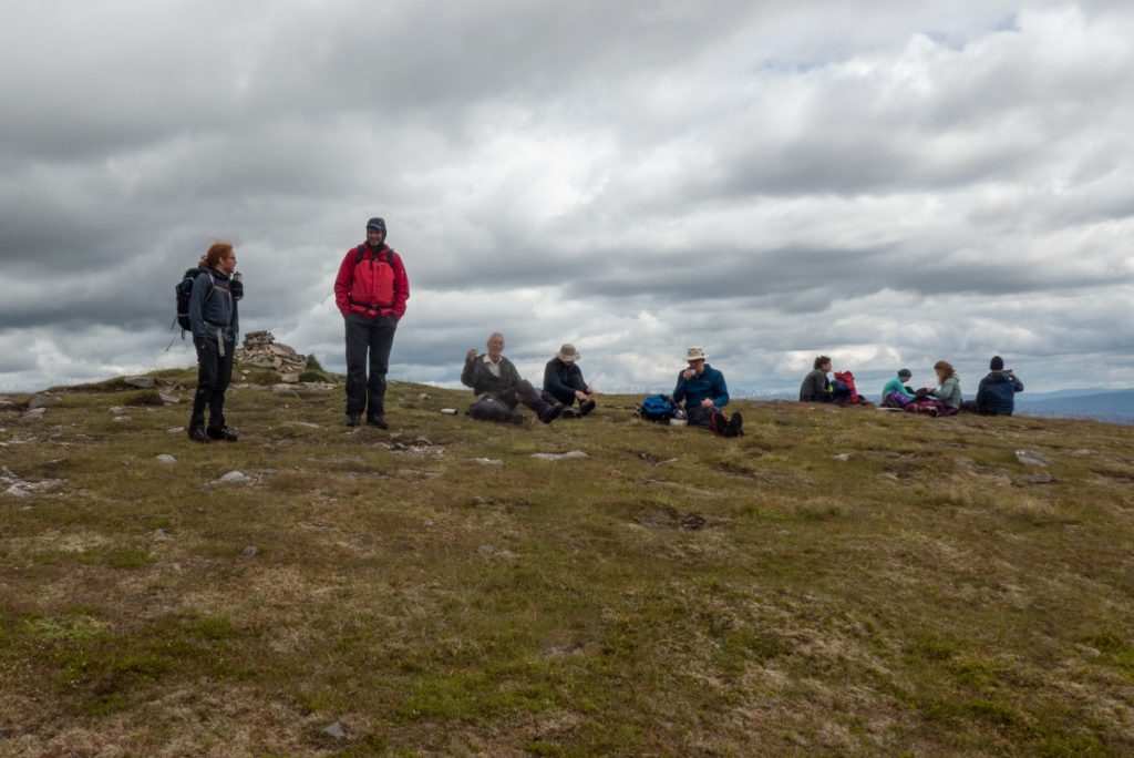
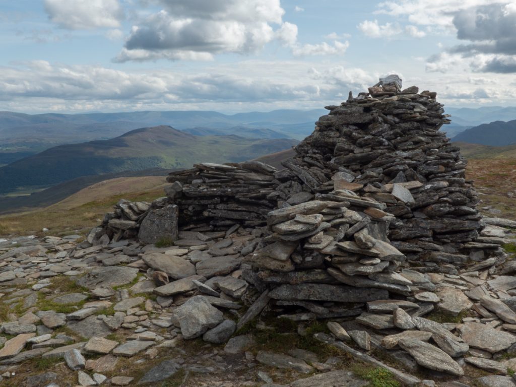
Arriving at the top, others came too and fro (seems like a popular hill) and we decided to take lunch and await our ridge fellow, no sight of them yet.
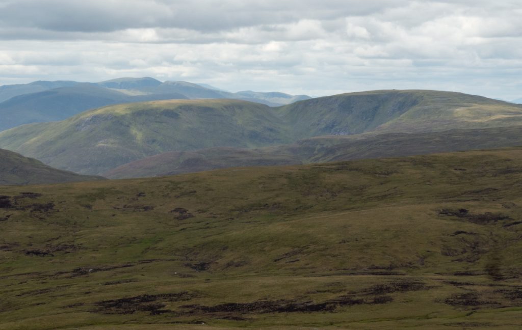
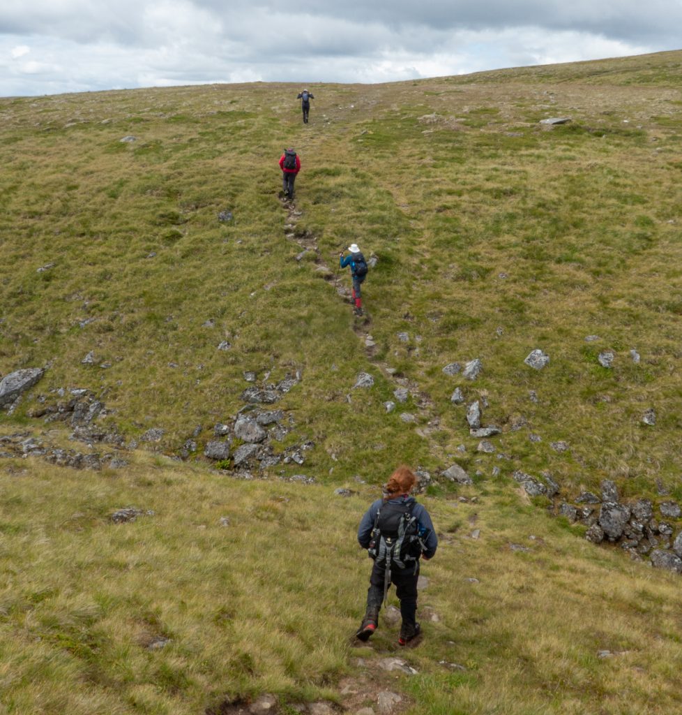
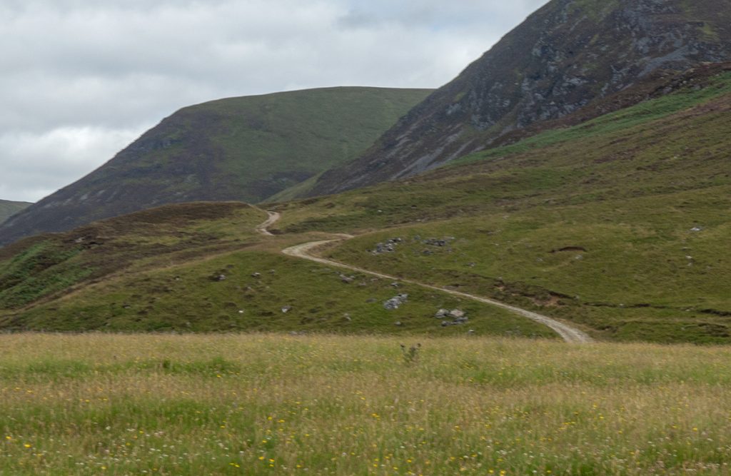
The path here was faint heading north east but easier going on the high ground, mostly dry and occasionally rocky
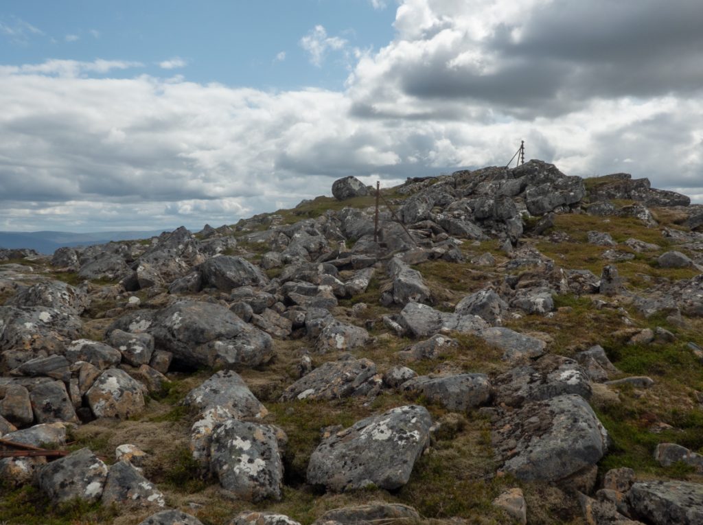
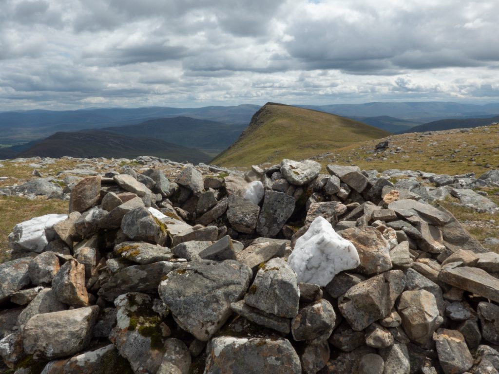
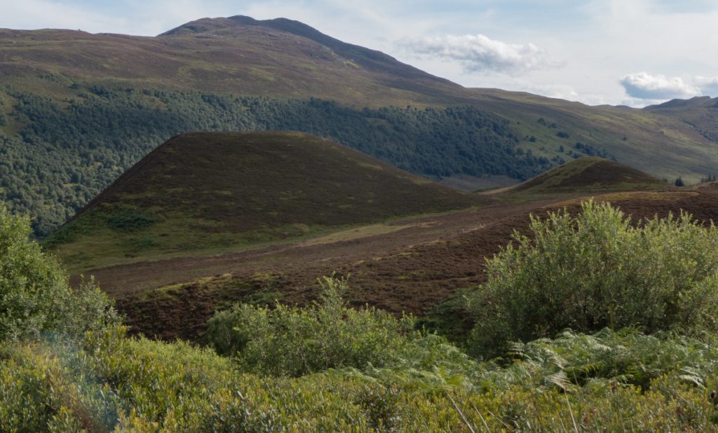
After 6km or so along a broad high sweep we reached 2nd munro Carn Sgulain, perhaps the least prominent hill of the designation I’ve ‘bagged’ and barely perceptible in rise above the undulating mounds preceding.
The party leader wanted to ‘short cut’ to our last hill, but this soon had us back in undulating peat hag and bog: the correct solution being to retread path back the the junction, longer but more solid so quicker.
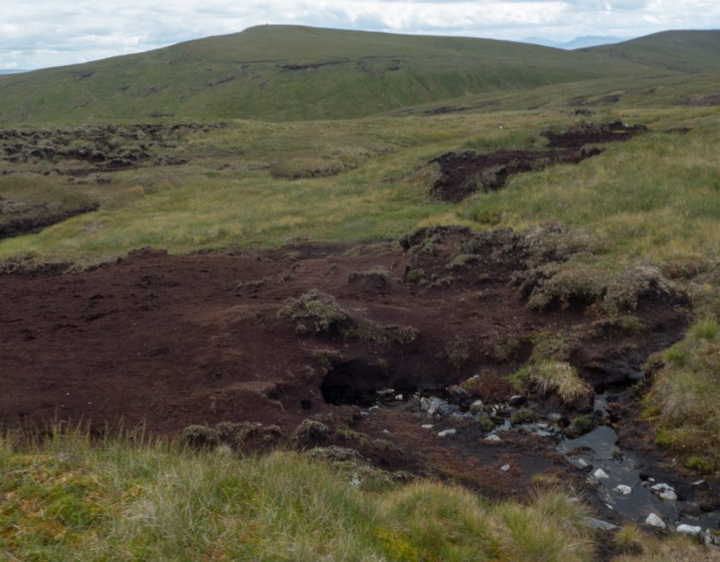
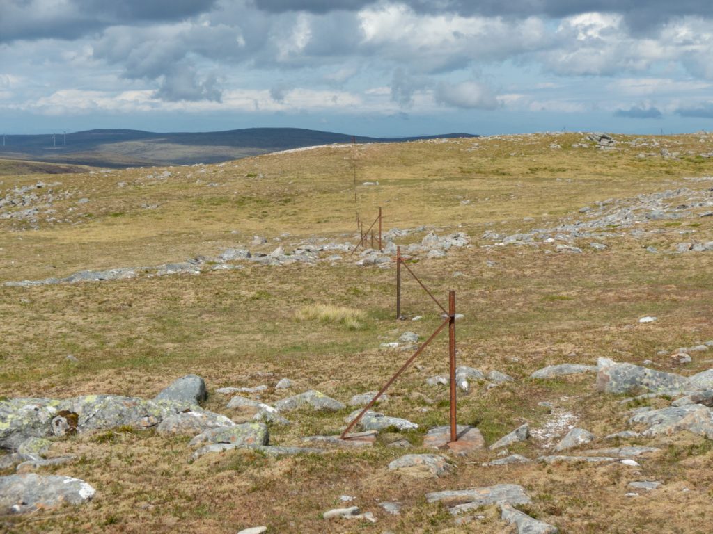
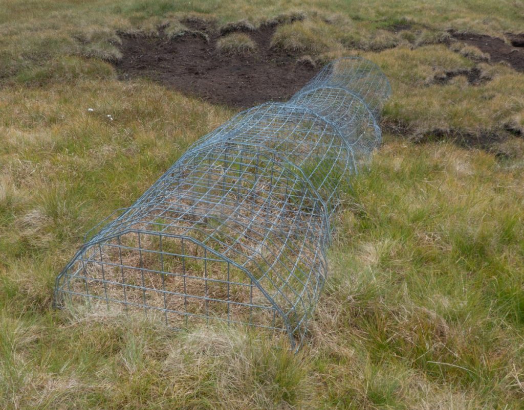
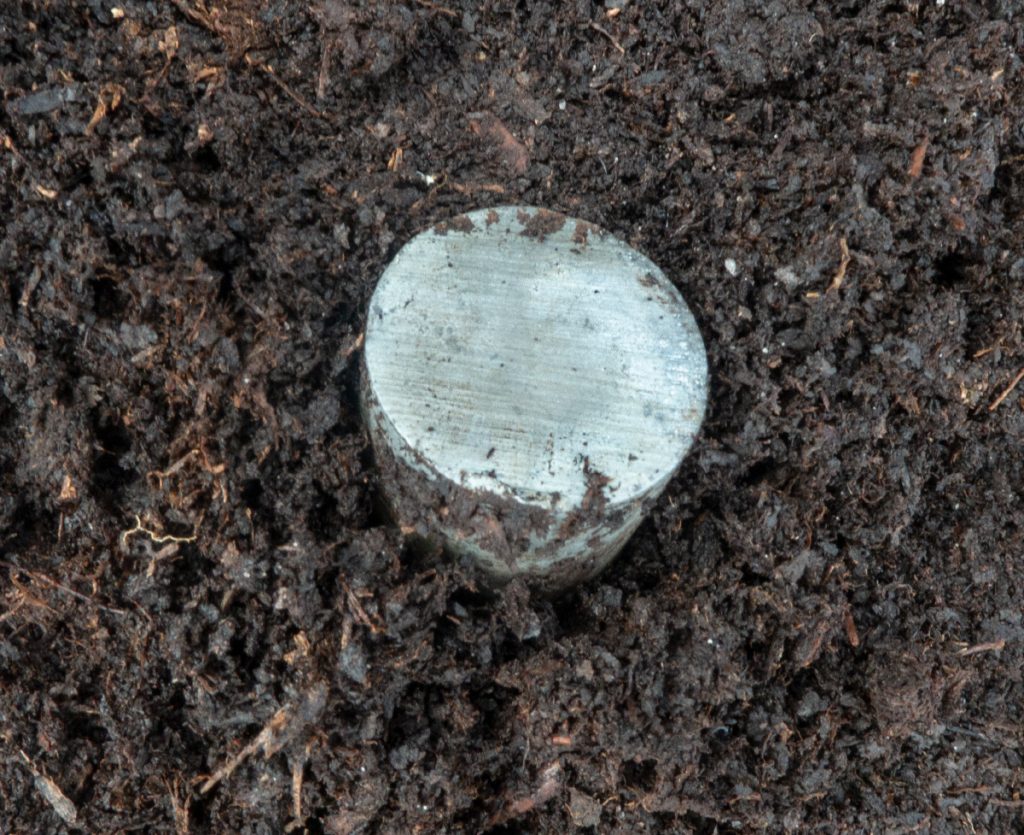
Off-trail does find odd things though. Initially thinking a trap: but on closer inspection no in/out or device of capture. A nearby metal rod intrigued. I’d hazard a guess at some experiment related to peat/carbon/water flow.
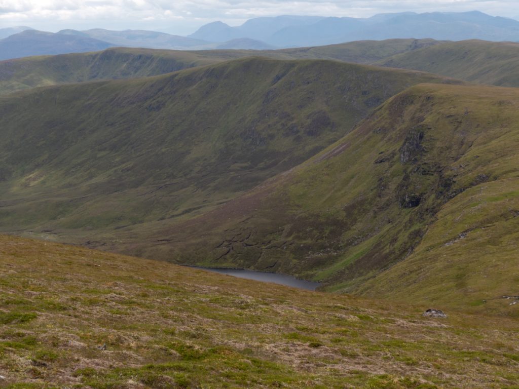
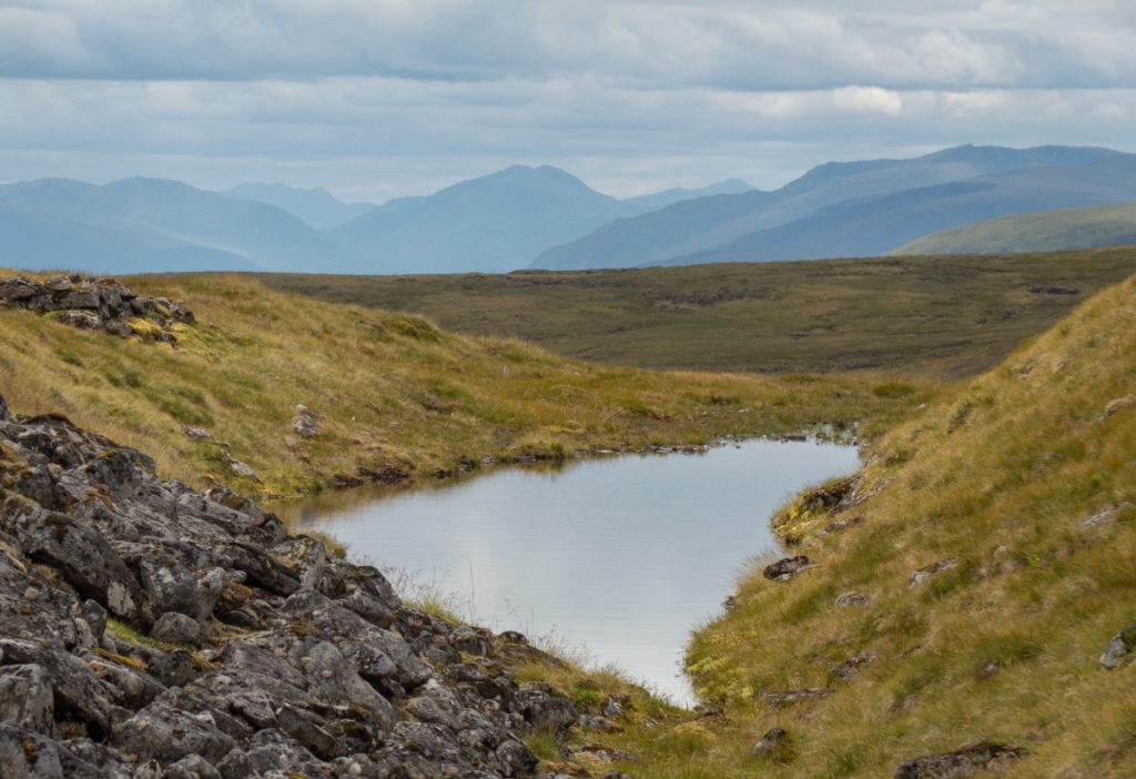
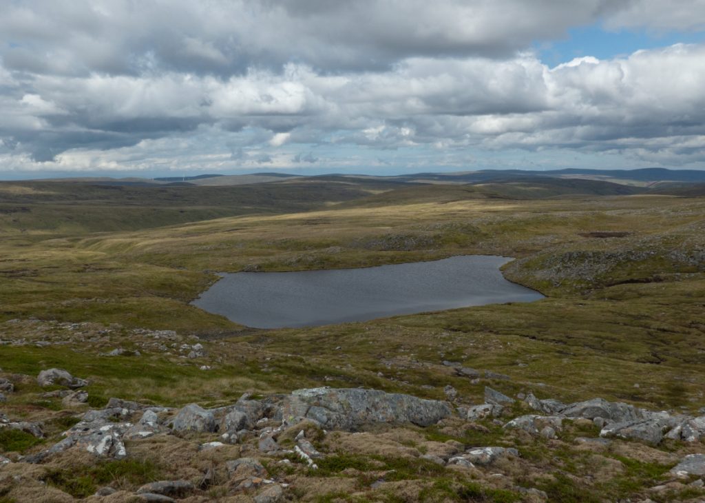
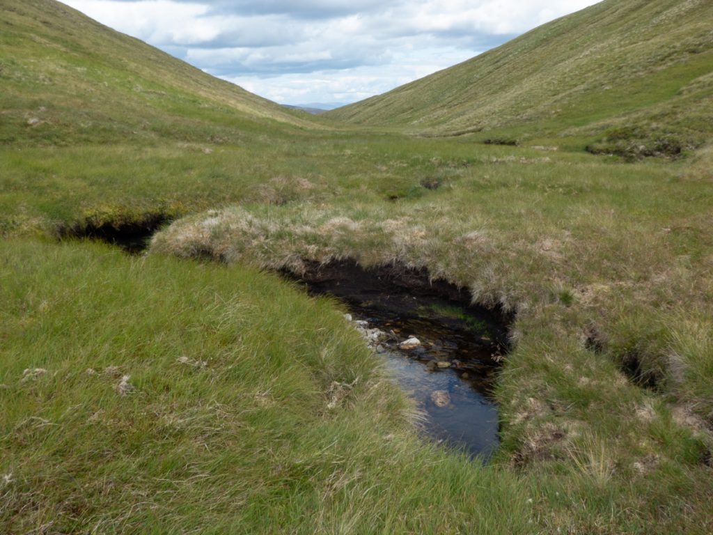
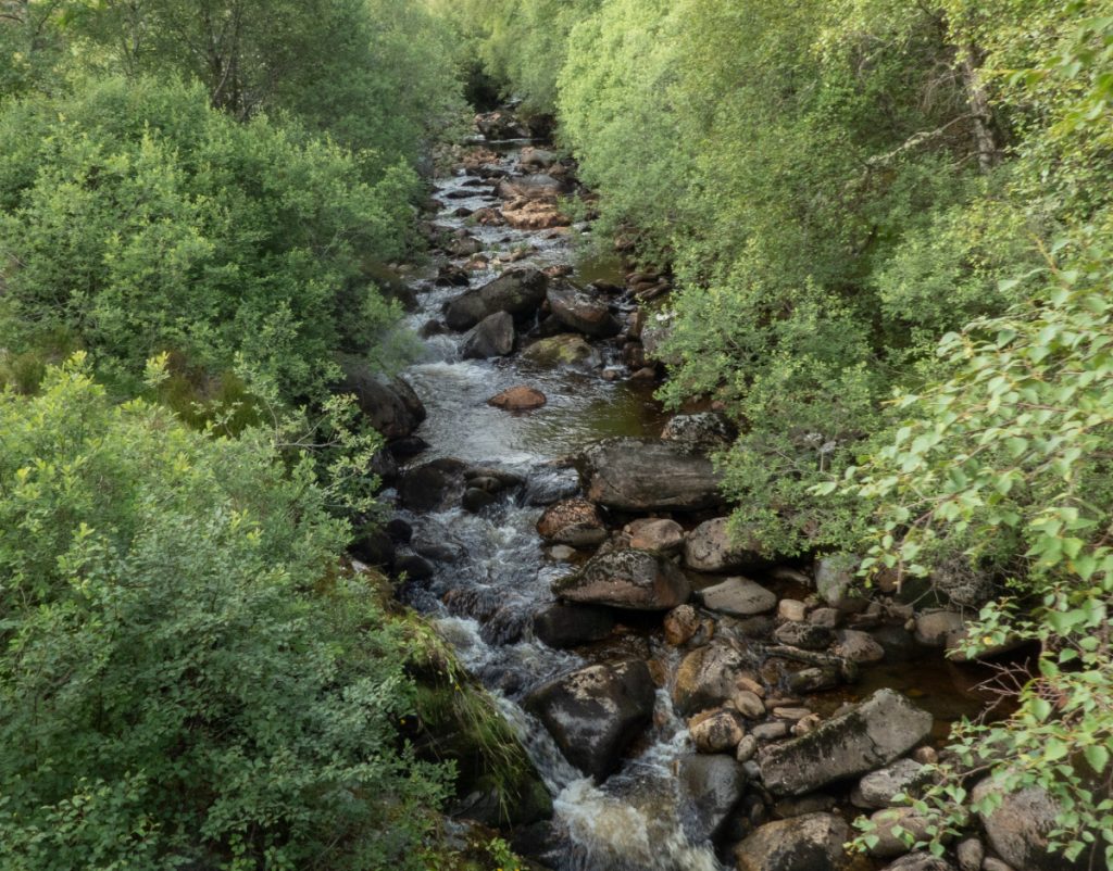
We eventually descended into a grassy nook with a crystal clear stream winding through. I imagine a nice place to camp, though would be avalanchy in winter.
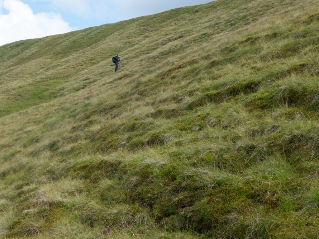
The steep pull up the grassy slope was punctuated by some entertainment courtesy of voles, who whirled through burrows and tunnels, popping in and out. We’d seen a few today (apparently a bumper year for them) and like the lizards also too fast to capture on camera.
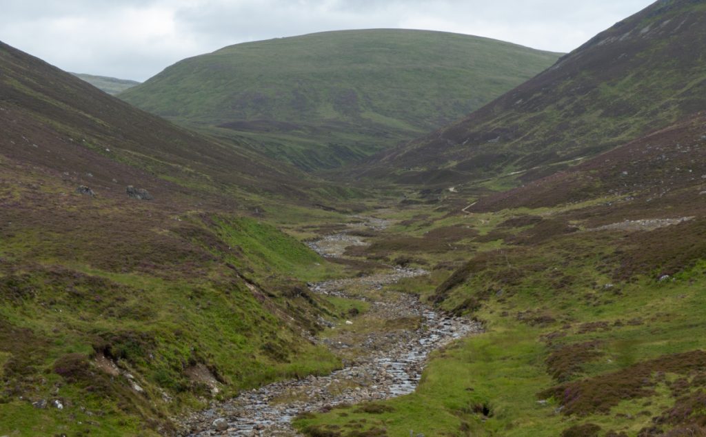
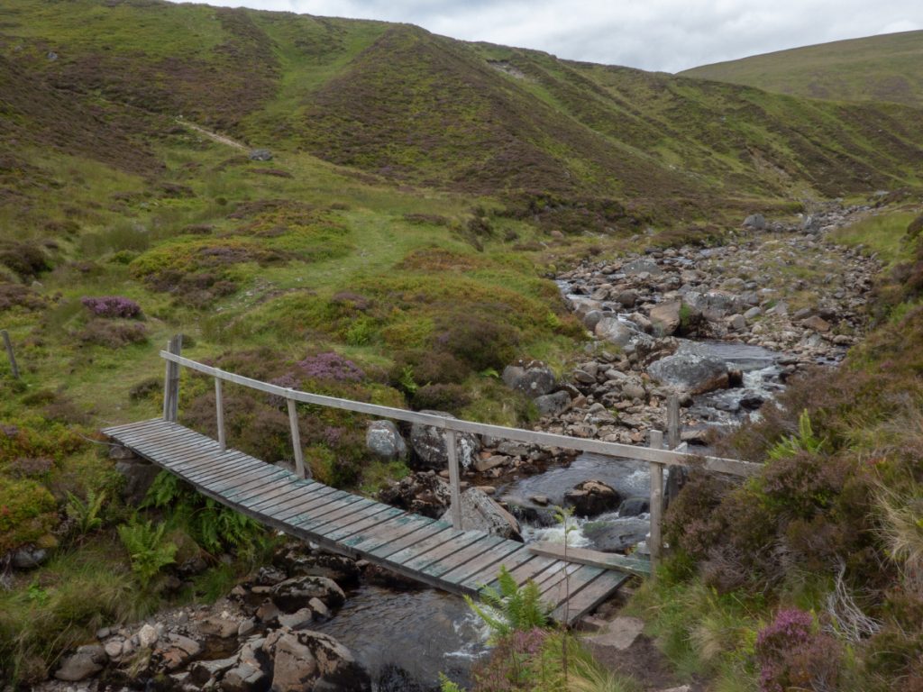
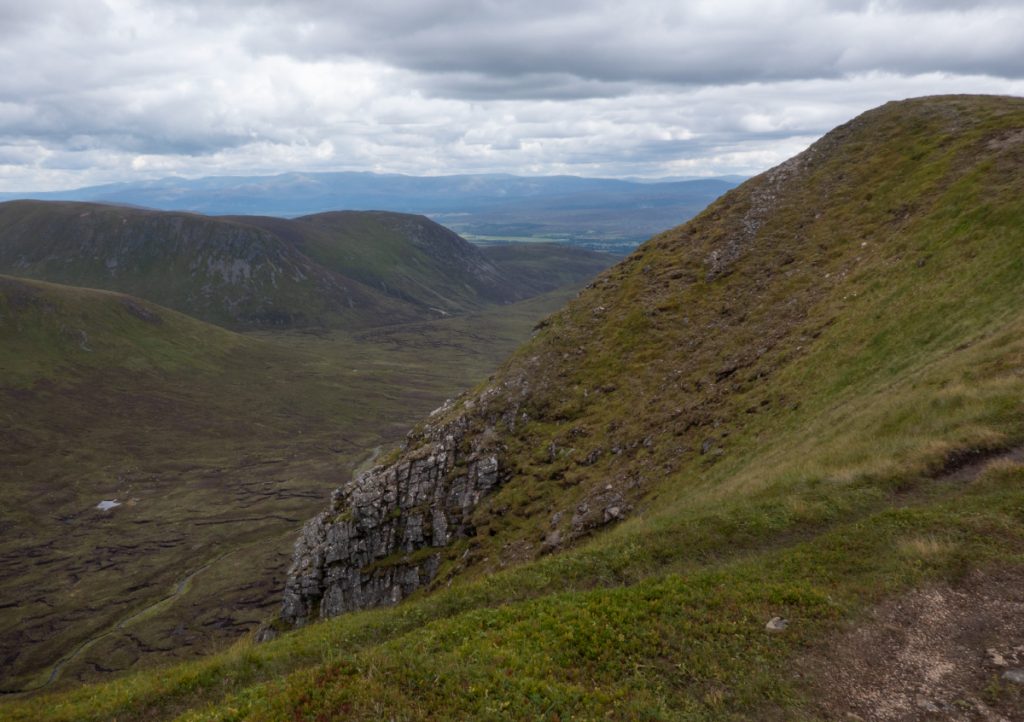
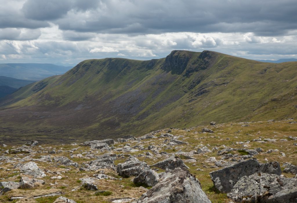
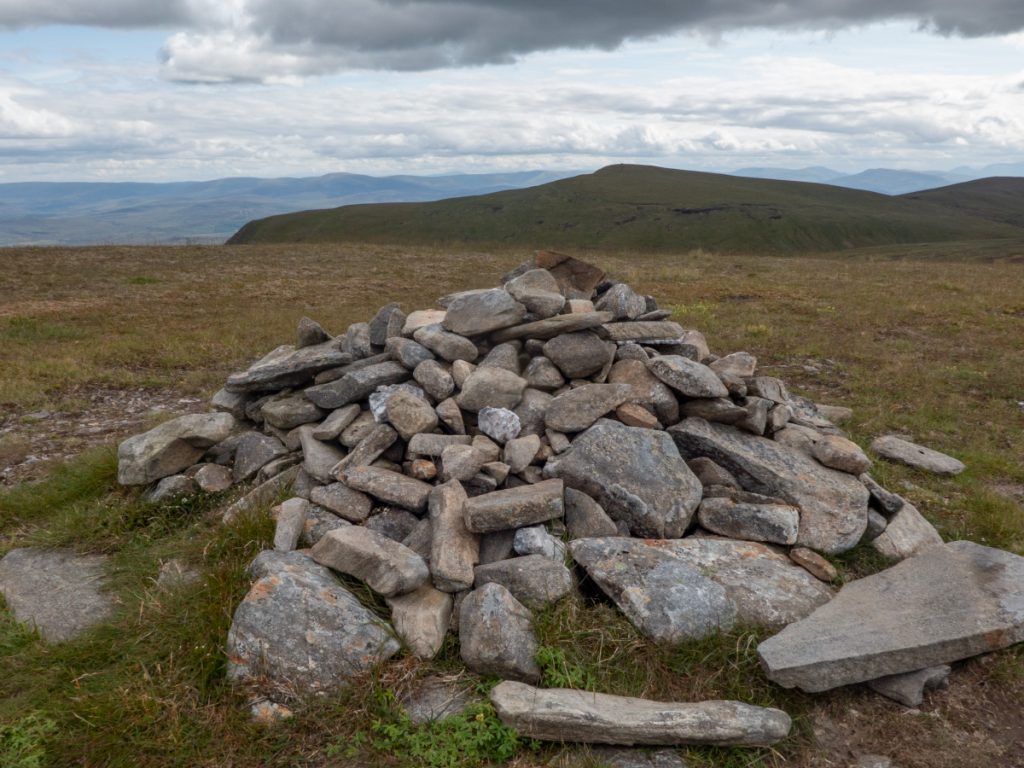
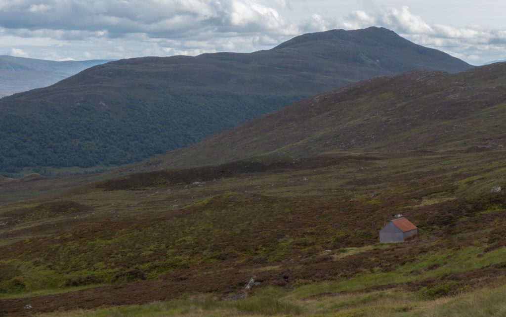
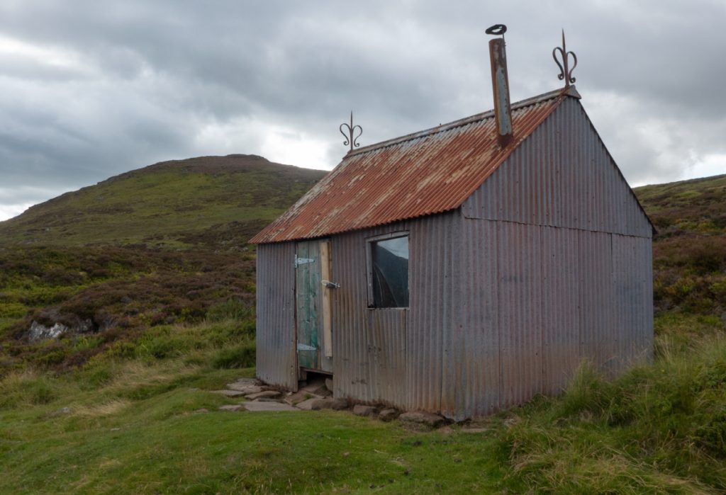
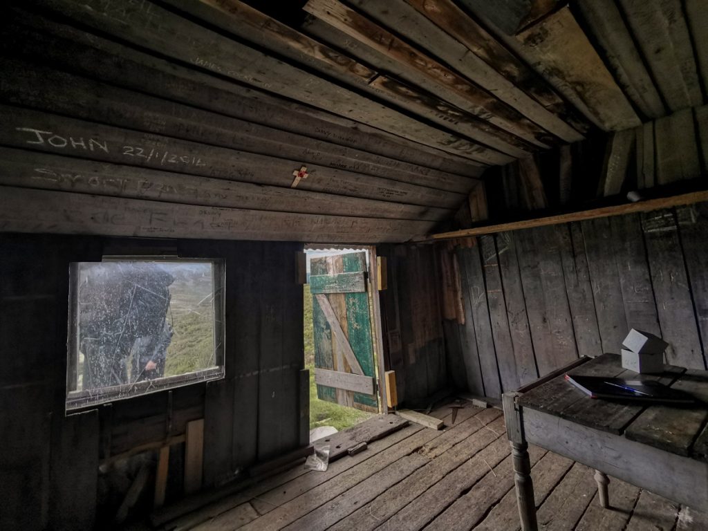
After a snack break at the top of our final munro for the day , A’ Chailleach, we spurned the steeper track heading directly south and headed to Coire Dubh and another soaked track albeit less steep. We poked our heads into the ‘Red bothy’ (more of a ramshackle shed than a proper bothy as such) and then the paths began to fizzle out again, just enough to see to lead us to the crossing of the Allt a Chaorainn.
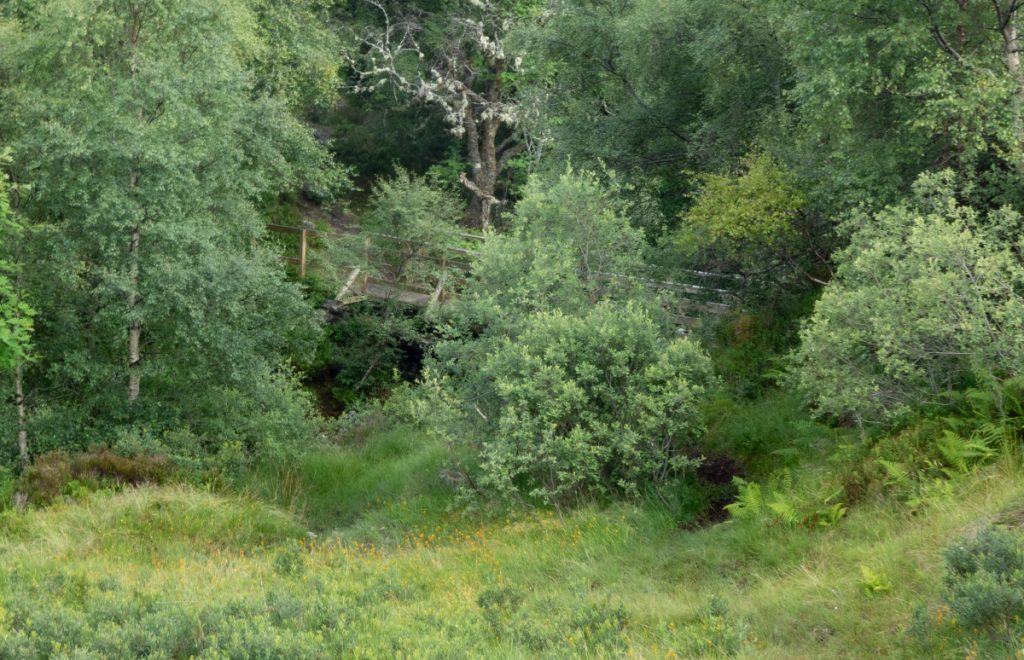
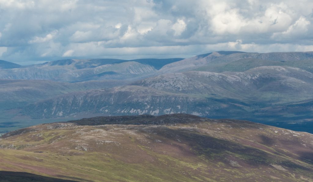
Back now on a good track, we followed the stream down. This angular shape caught my eye and initially I thought of it only in terms of glacial remnants (good study on the area’s glacial topography here), but it was also a palisaded fort and latterly a garden: Sidhean Mor Dail a’Chaorainn “the big fairy hill of the meadow of the rowan tree”. If I’d known these factlets in advance I’d have went up for a look.
Sidhean Mor Dail a’Chaorainn
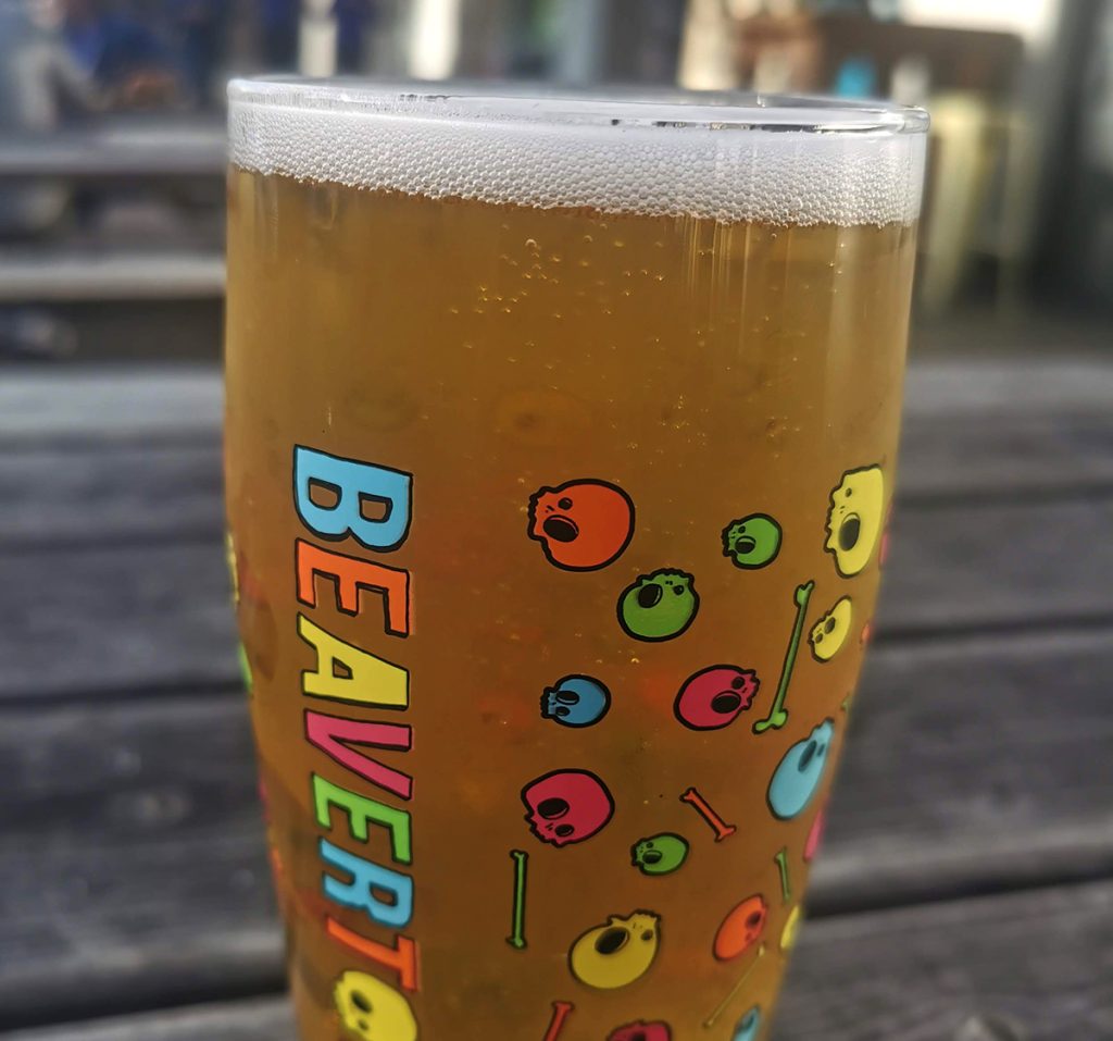
We all headed back on to the bus, now in glorious sunshine, and headed in to bustling Aviemore for fish n chips and a pint before the long drive back.
Further reading: Loss and beauty in Glen Banchor