After spying an email at work inviting folk on hillwalking trips with a club called ‘The Cairngorm Club’, I thought I’d investigate further to widen the opportunities to visit new places.
The event invite mentioned info from a previous club report for Ben Rinnes, dated 1891, which I initially presumed was a typo for 1981 – but it was the correct date, this is a club with a history!
With autumn light being precious, the start was 7am, earliest I’ve been up on a Saturday for a while. The weather report was good, and arriving at the car park I decided to pack my new Berghaus VapourLight smock for a first outing (it’s an ultralight waterproof primarily for trail running and the like) rather than a more robust and heavier goretex.
The climb up Ben Rinnes is a fairly short affair of about 3km, and up 500m to the peak at 841m. It’s similar in scope to Clachnaben, and they also share similar crowning granite tors, though Ben Rinnes has *3* to explore.
After a quick stop in Tomintoul to fuel up on tea ‘n’ rolls, we headed out in 2 parties, one taking the minibus elsewhere but enabling our route to start East and finish West.
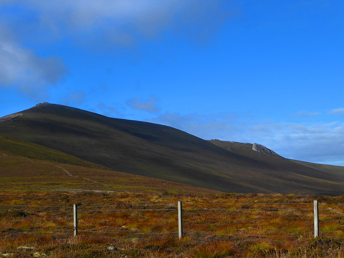
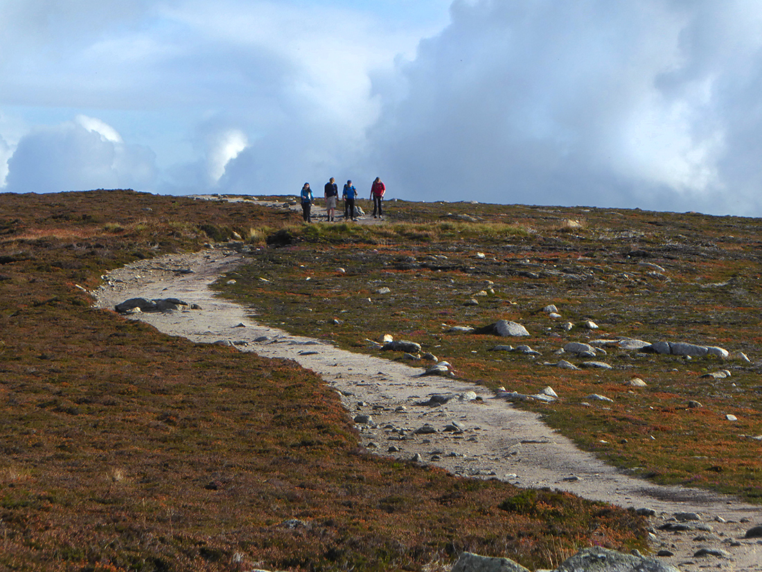
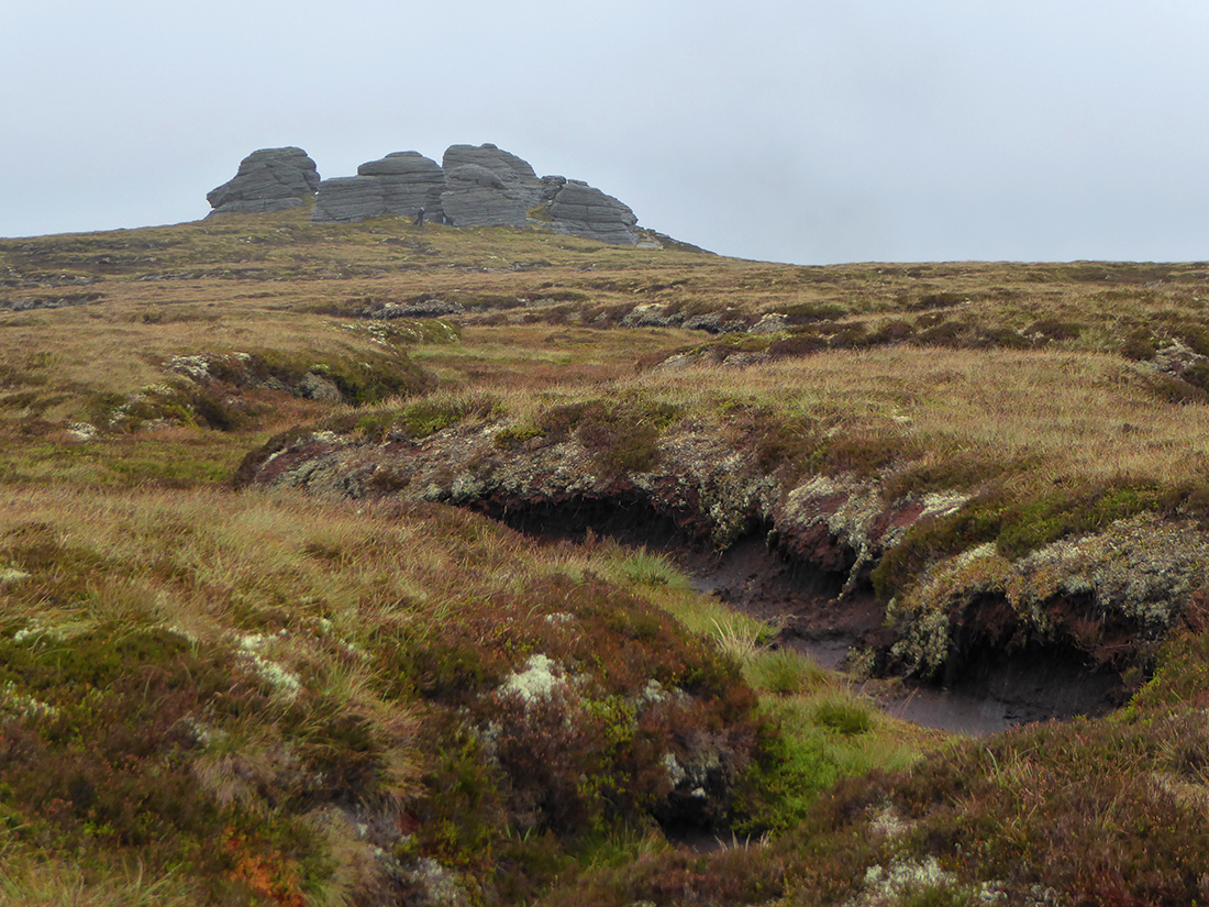
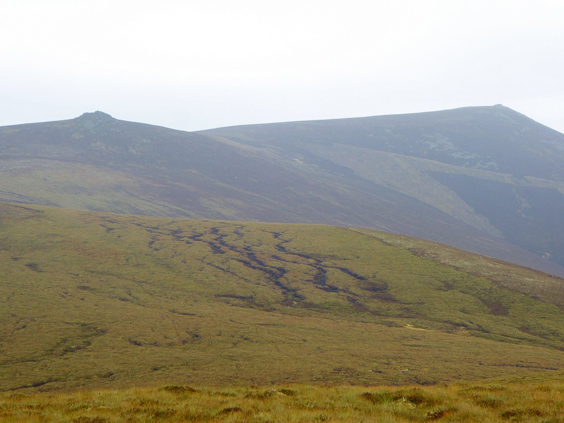
Foot of Ben Rinnes
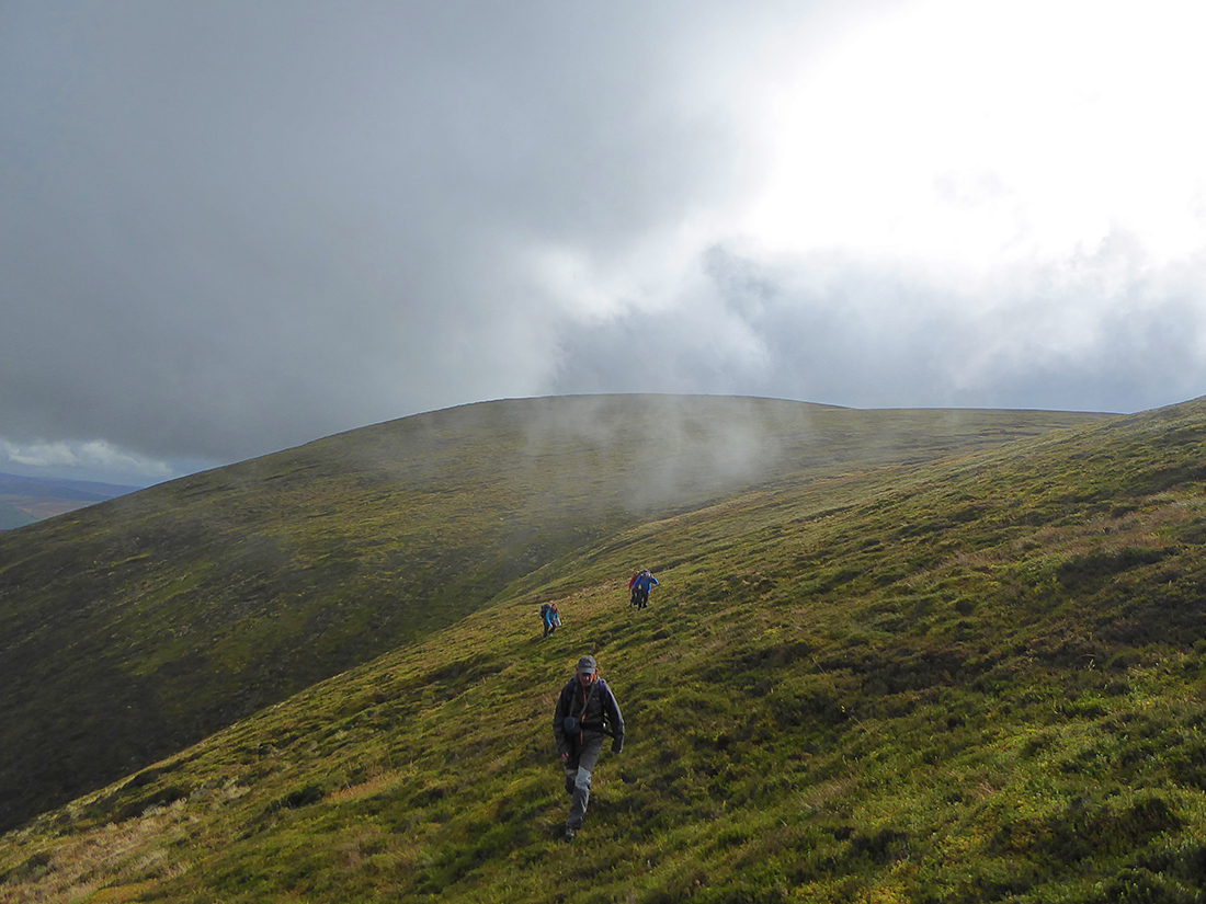
The forecast was pretty clear, a low risk of a spot of rain later in the day, but blue skies right now so slapped on some sun cream and got cracking. A crisp and clear day made for good progress up the path

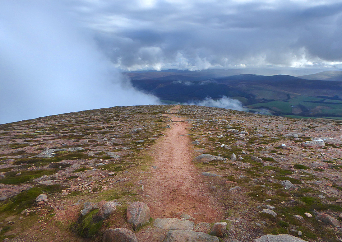
Lower reaches of the path up Ben Rinnes
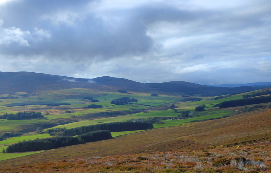
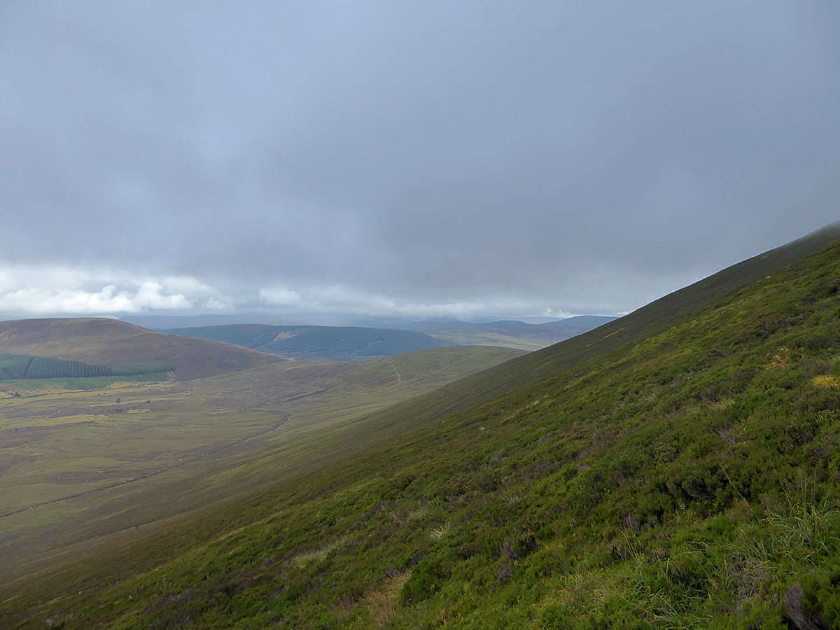
View West from low on Ben Rinnes
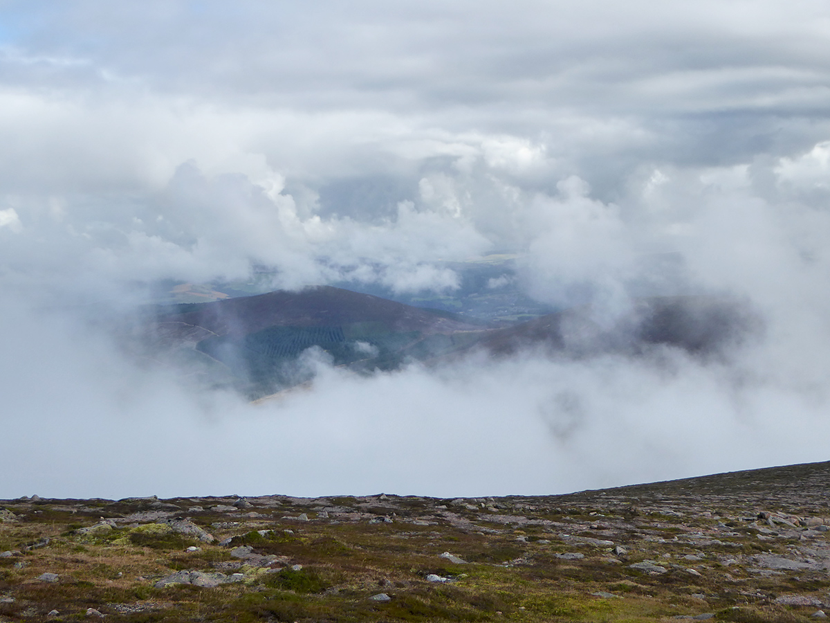
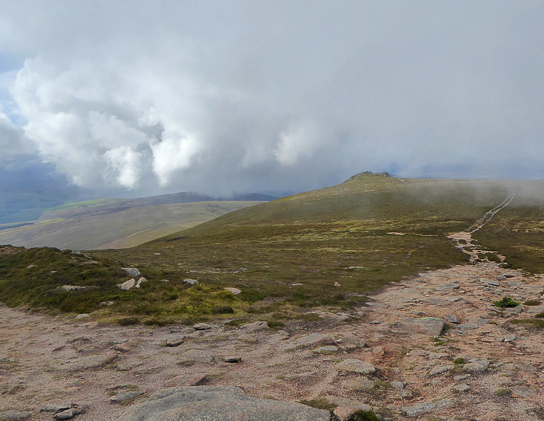
Nice light, with clouds drifting past at a low altitude
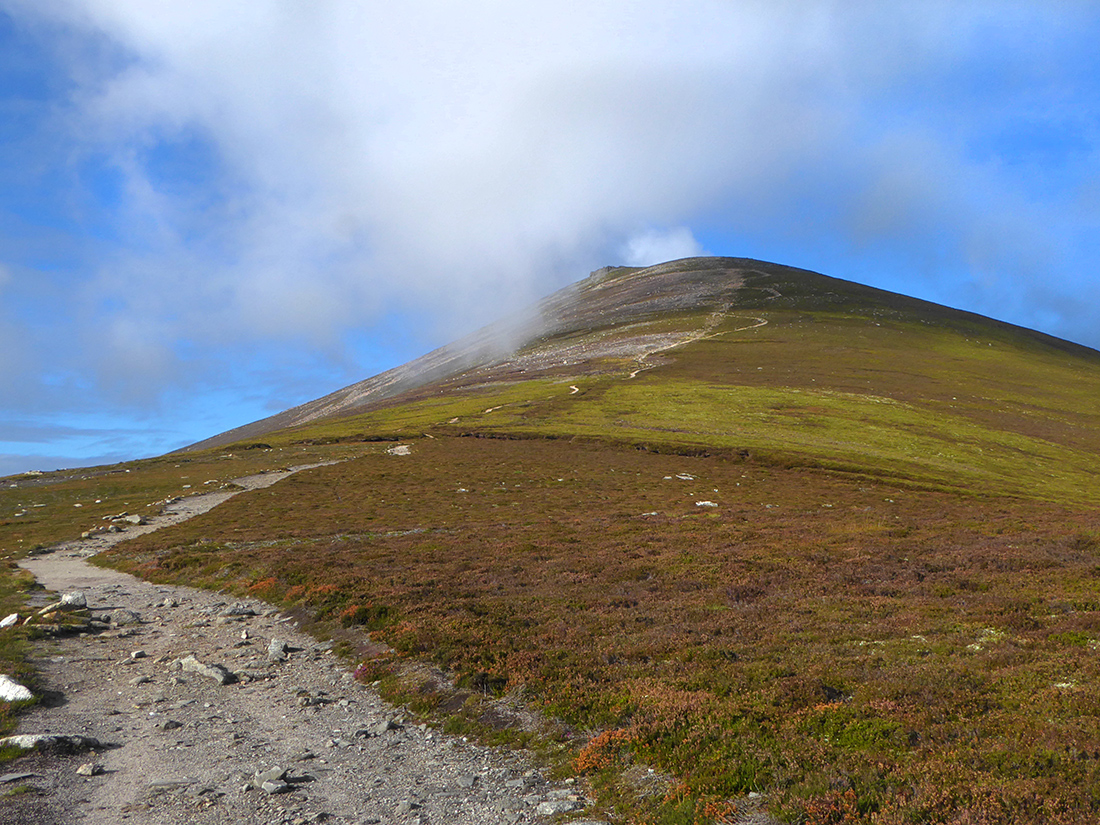
Cloud drifting past on Ben Rinnes
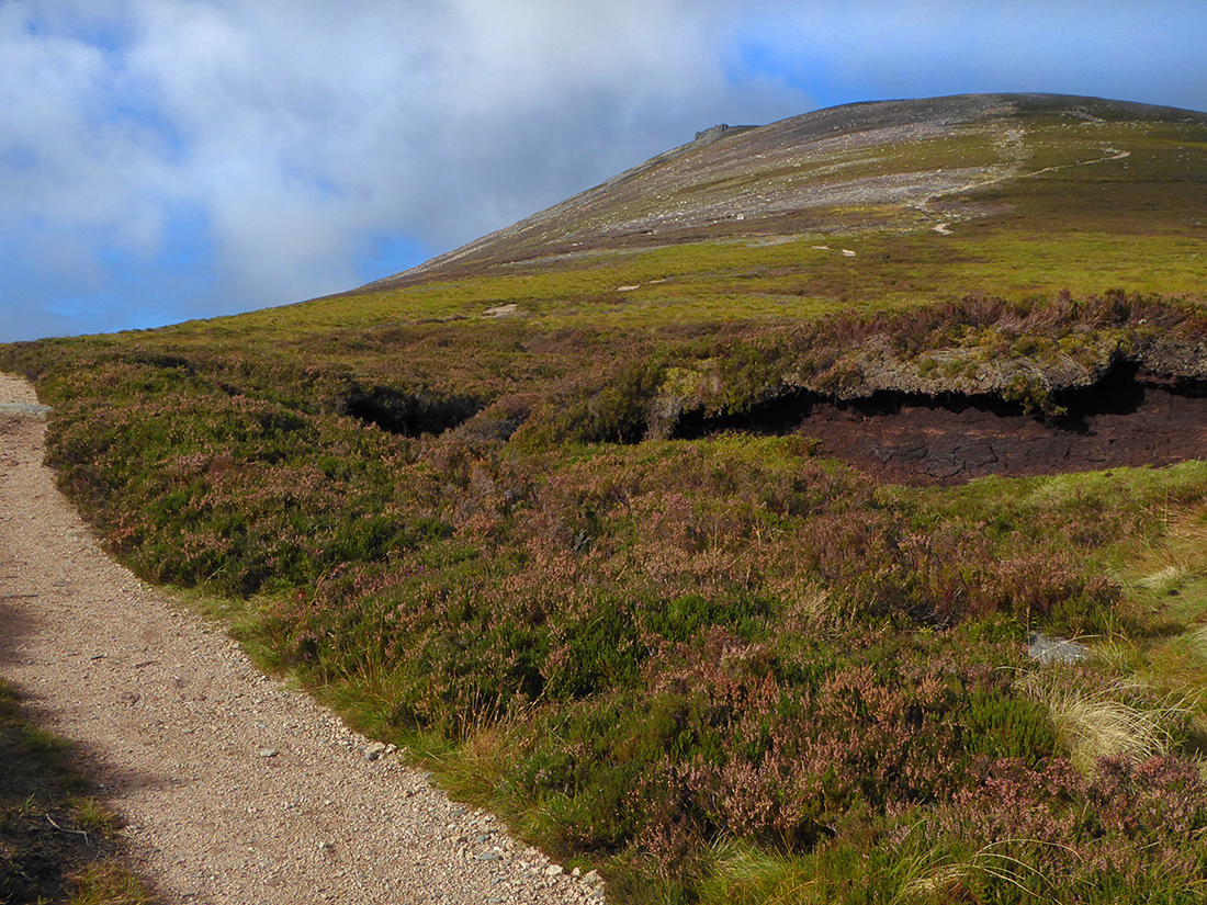
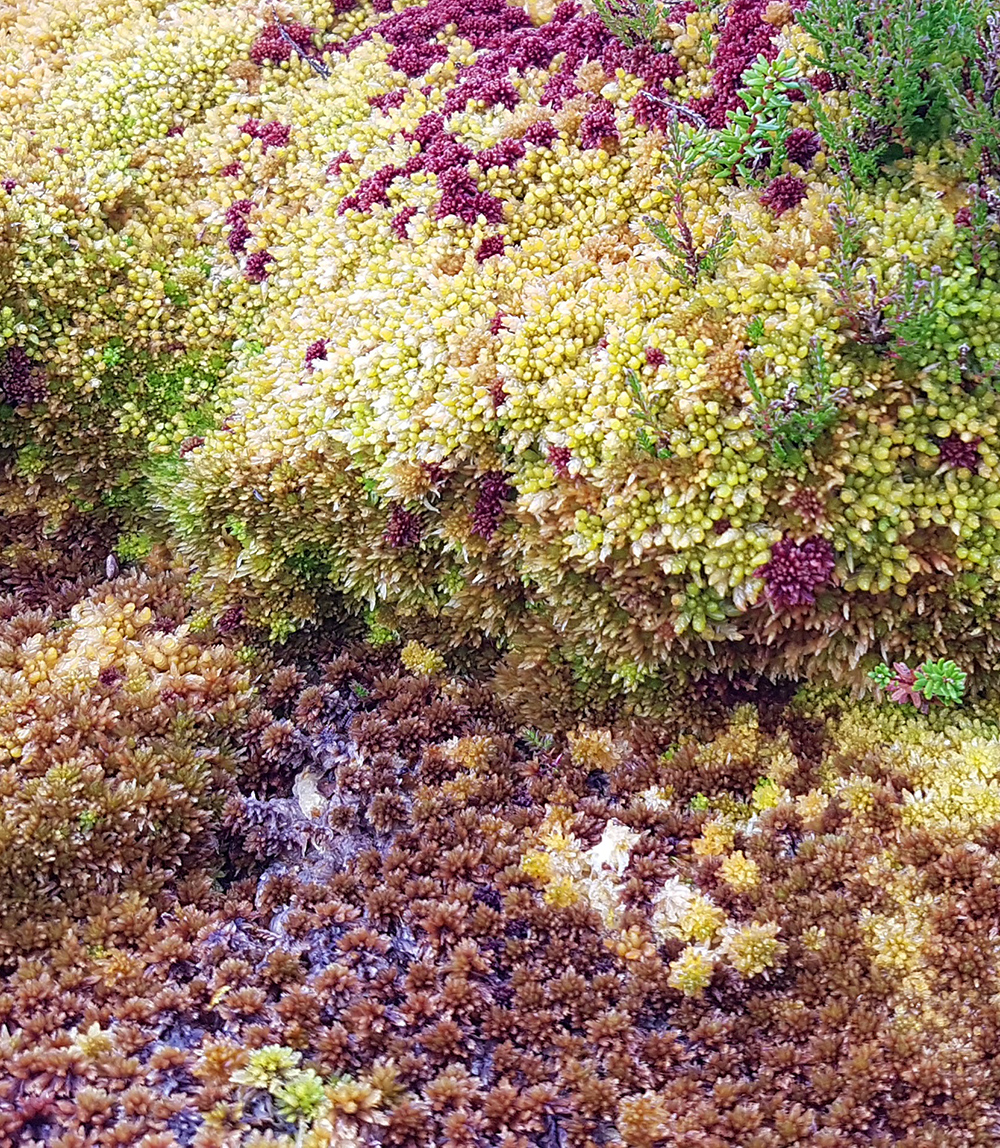
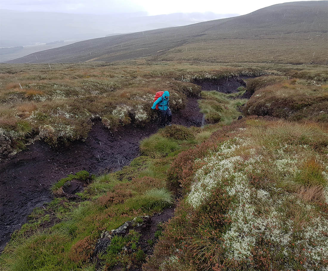
Peat hag by the path
All easy going on the path, the odd rocky bit and a few steps higher up

Puddle reflection
Brief refuel then onwards. I’d pulled ahead of the group, keen to get some exploration time on the tor having scoped a few interesting photos before heading out

Quick break half way up

Half way up Ben Rinnes
Good path
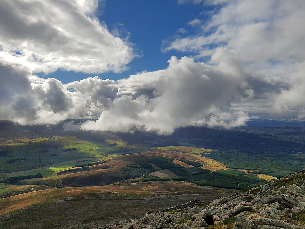
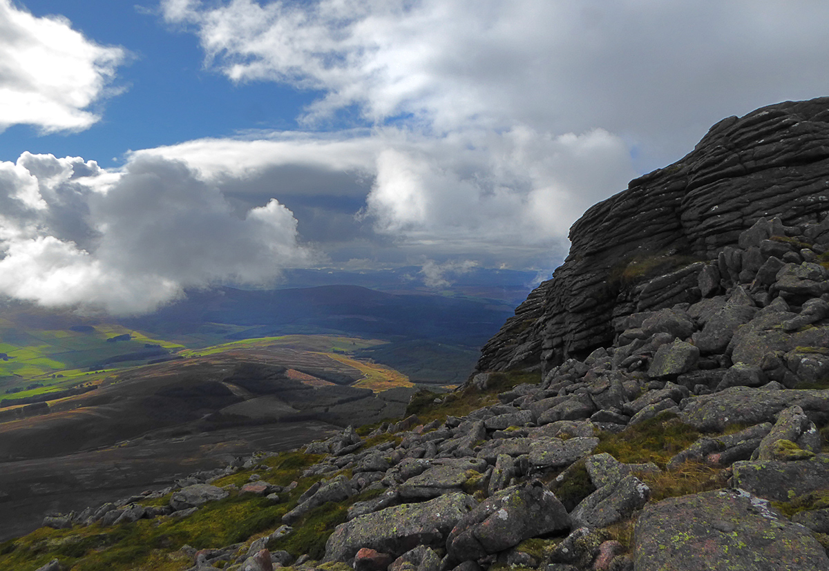
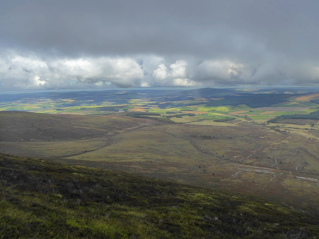
Looking West to the valley
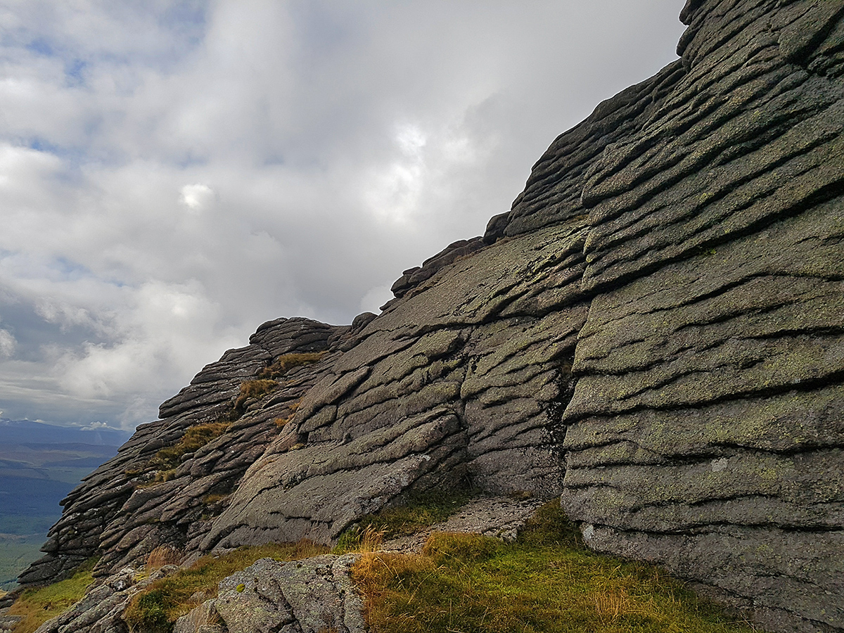
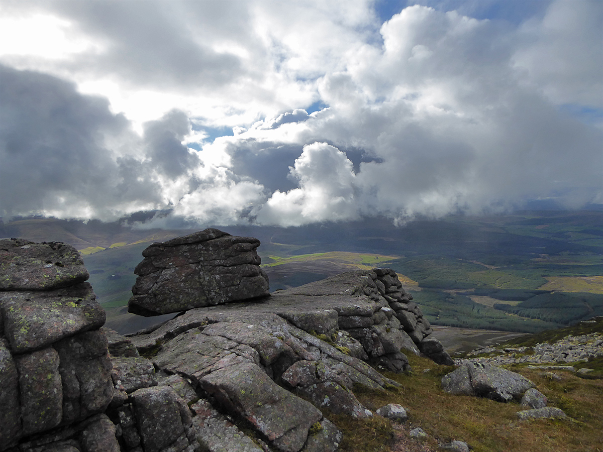
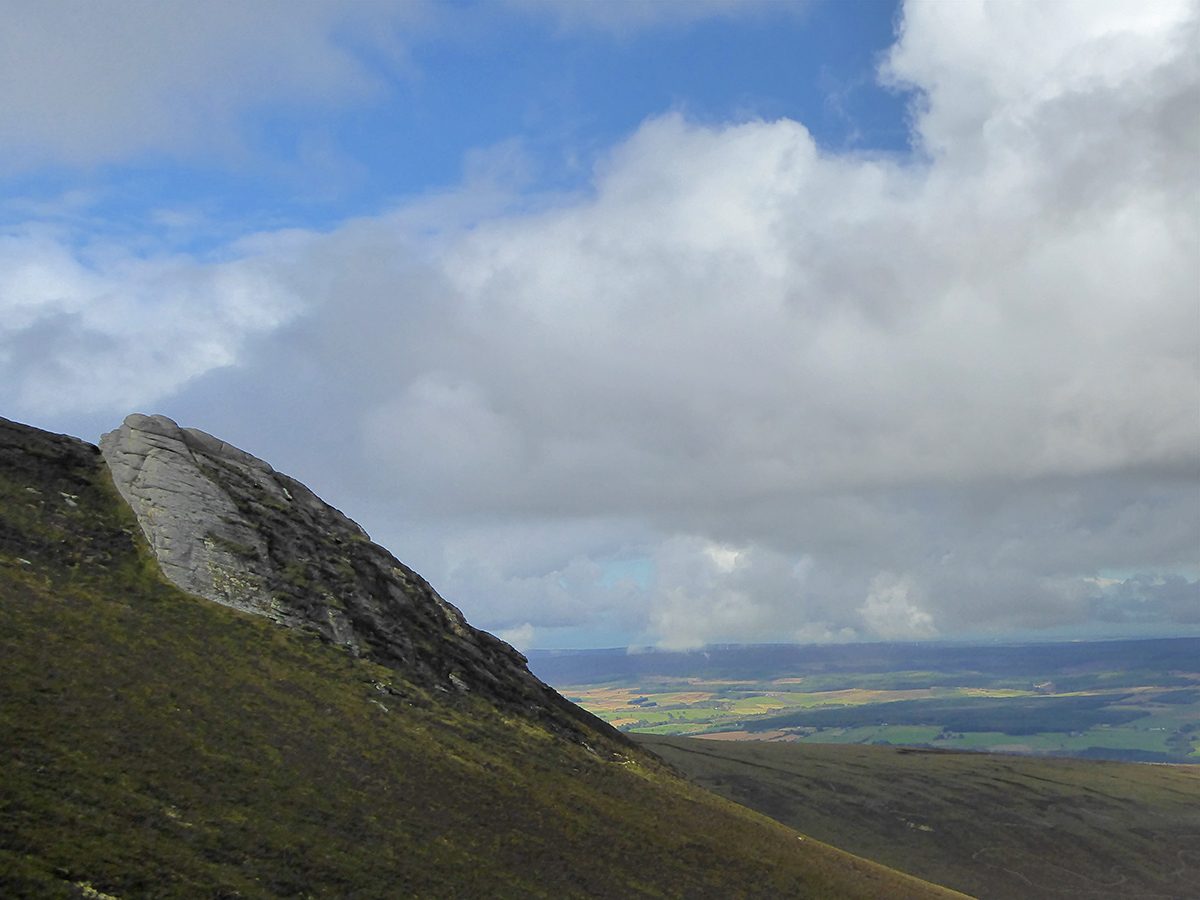
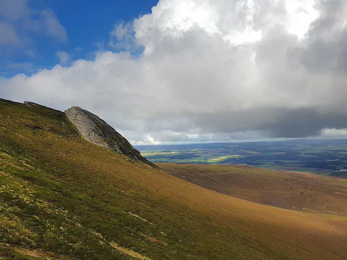
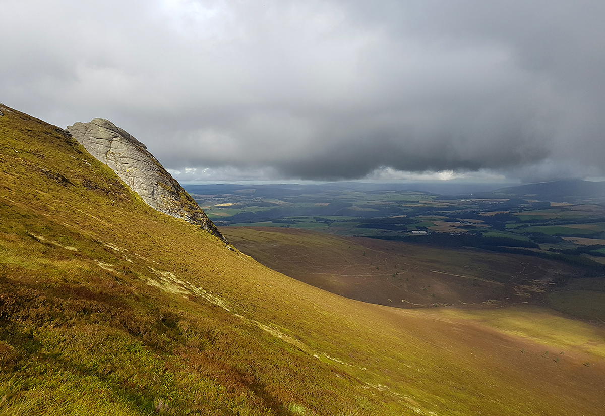
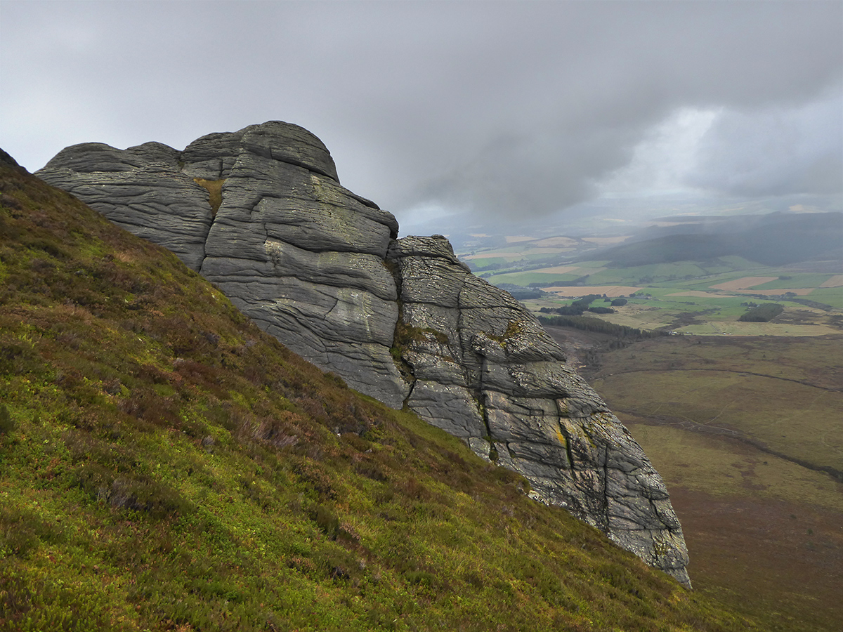
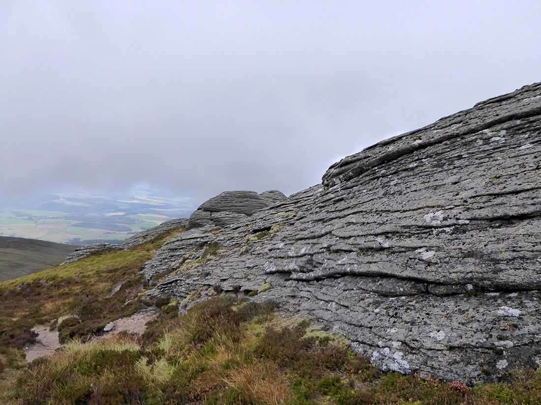
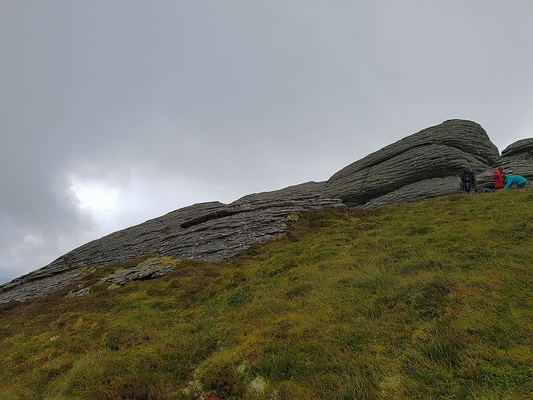
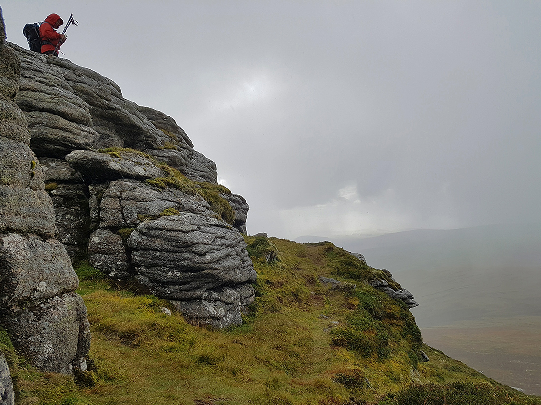
Here’s the first tor, officially known as the Scurran of Lochterlandoch
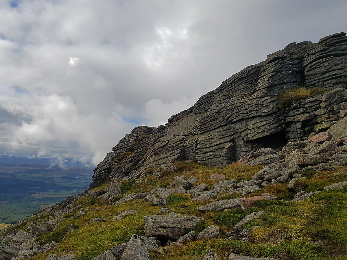
Below Ben Rinnes tor
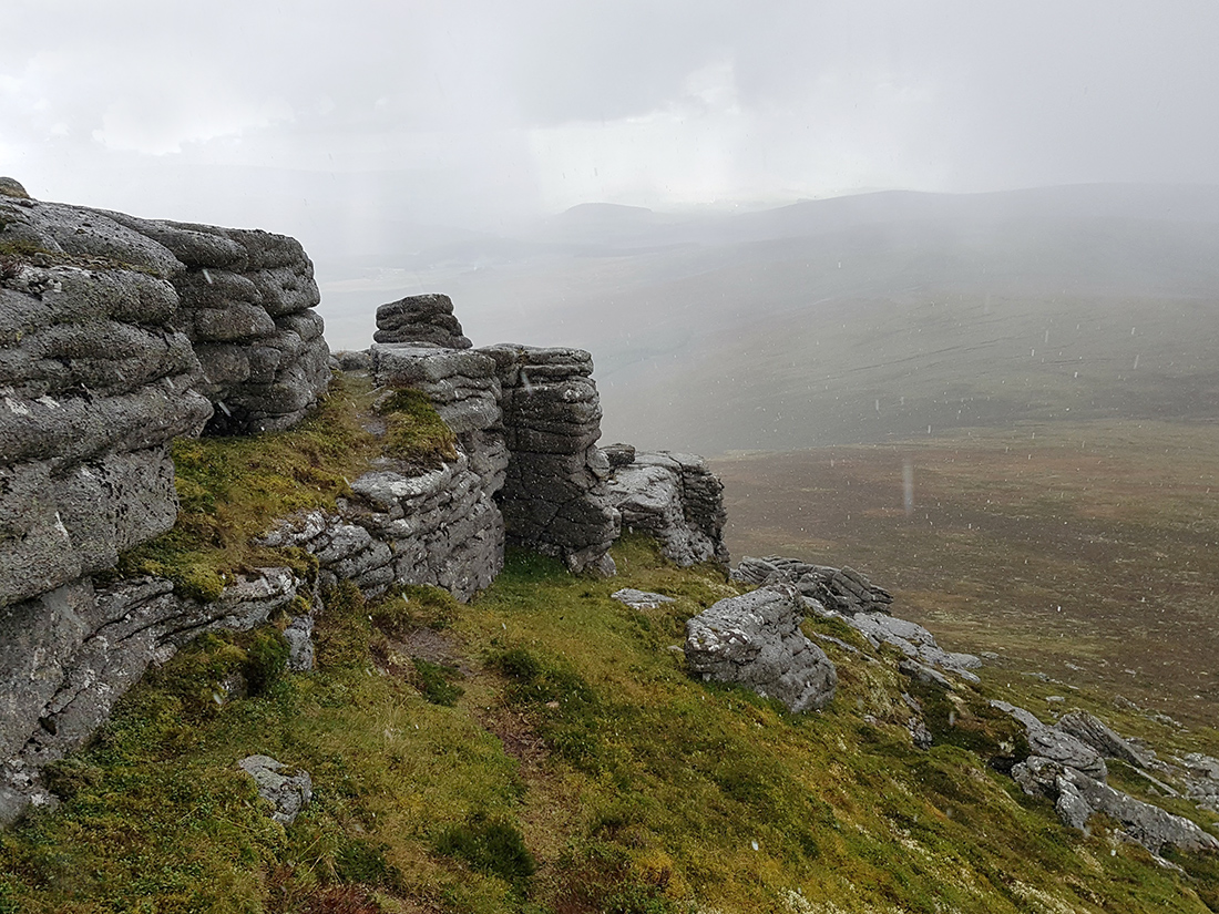
Interesting angles and erosion scrapes on the rock faces
Looking from the East
The West side
Like a stone turret guarding the peak
Didn’t notice when I took this photo of how seemingly precarious this rock is balanced
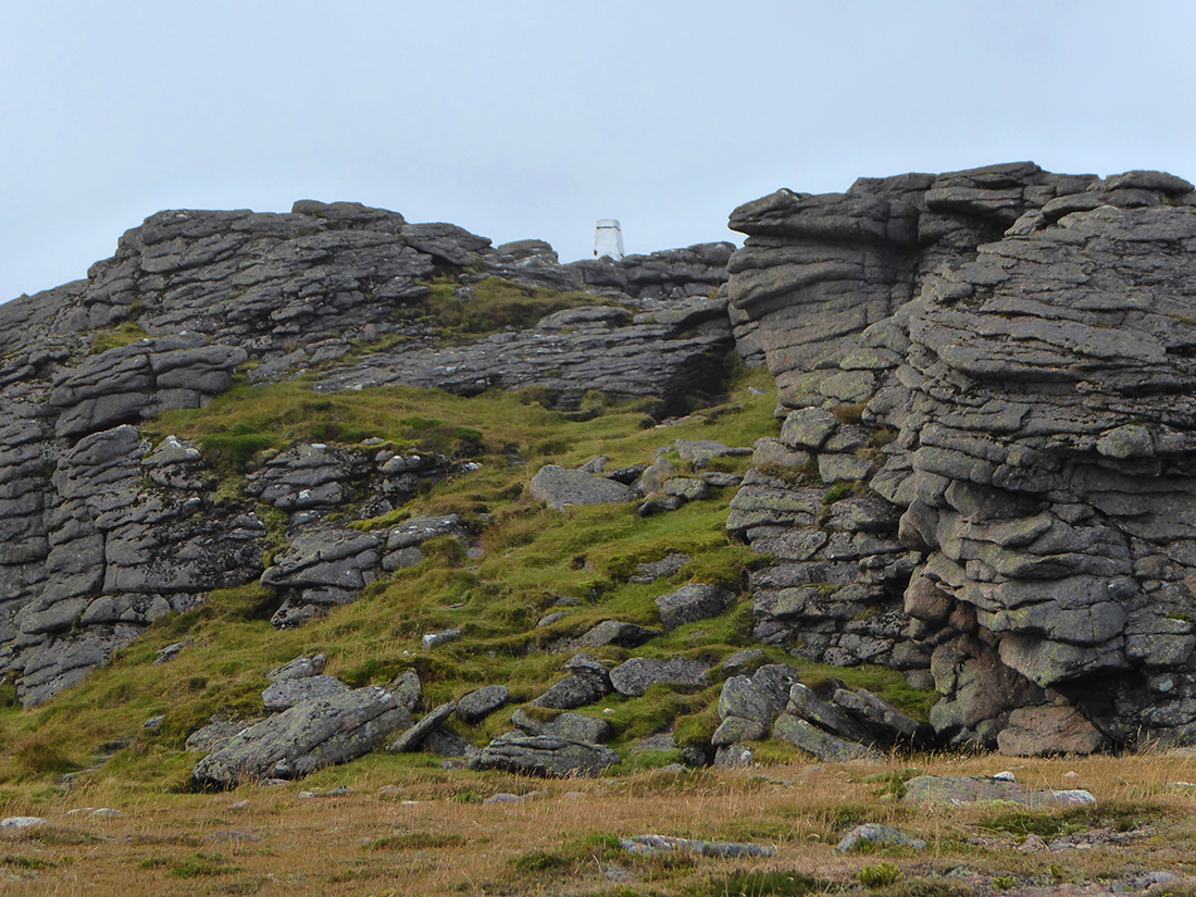
The peak indicator lies another few metres higher
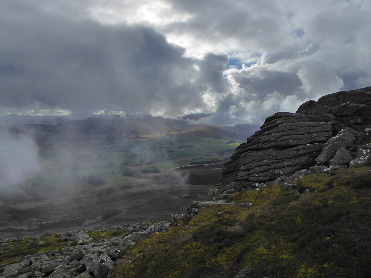
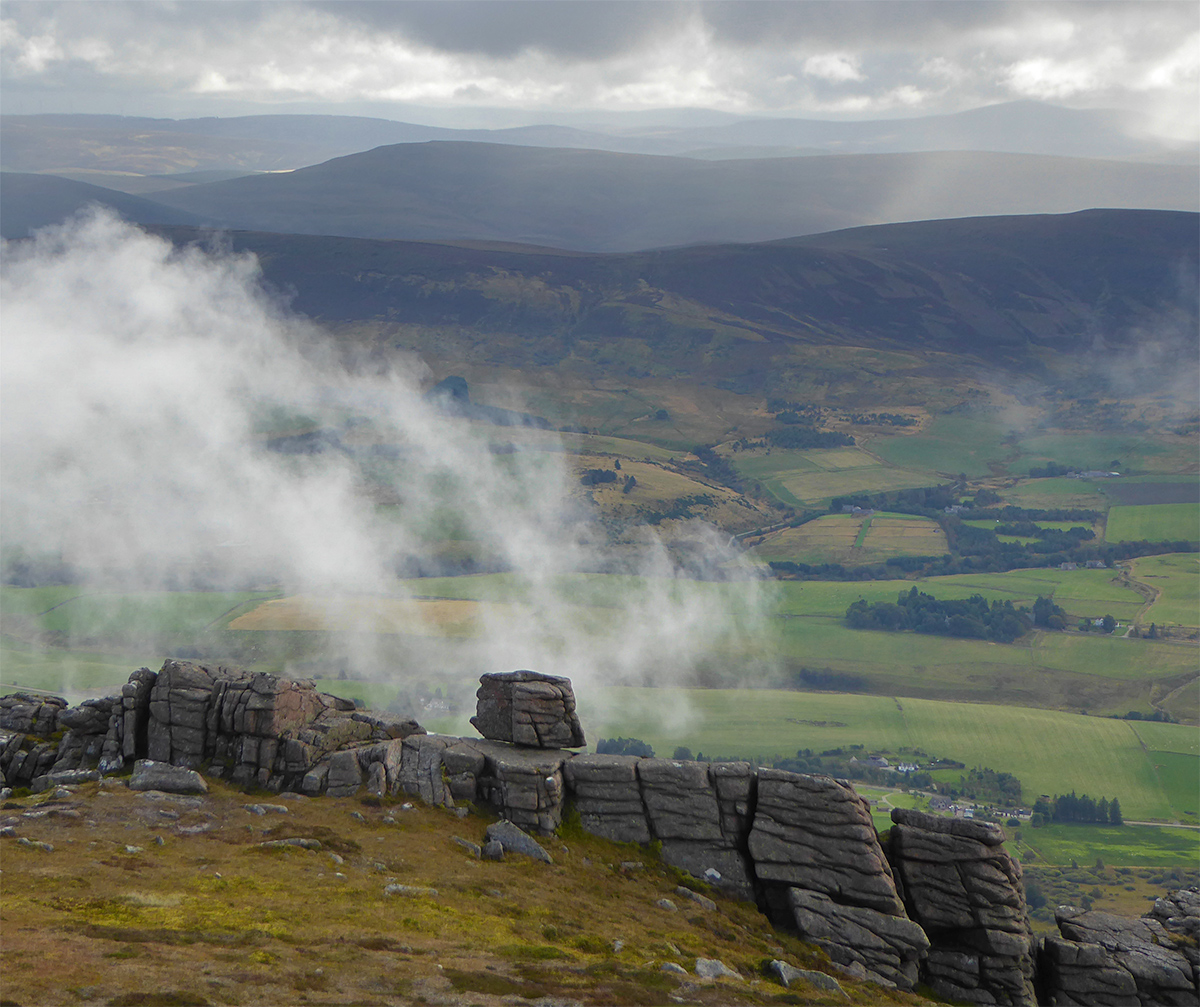
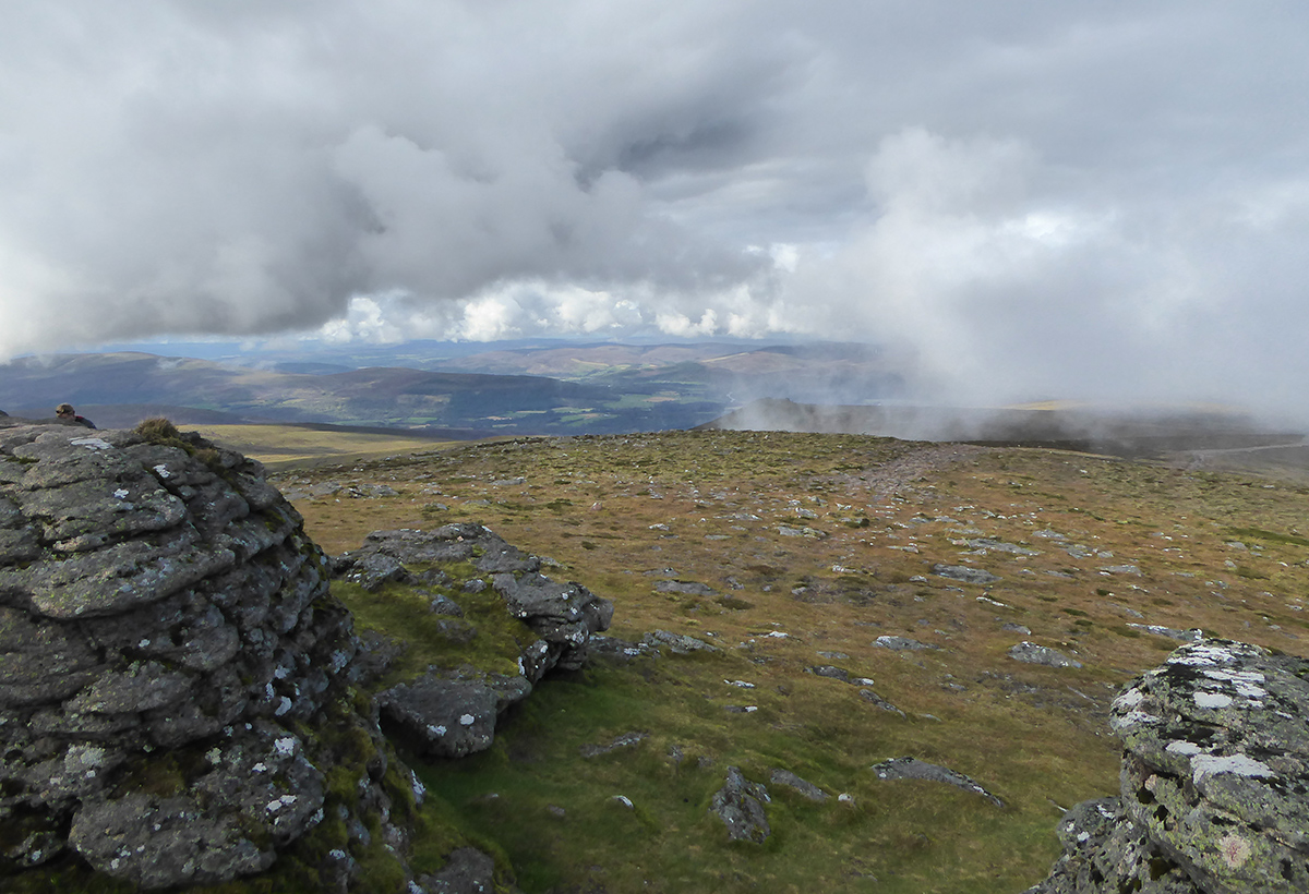
Clouds drifting across, difficult dynamics for photography, wish I’d taken my Sony NEX with me, but the Panasonic and samsung s7 managed some clips that after a bit of post production were reasonable

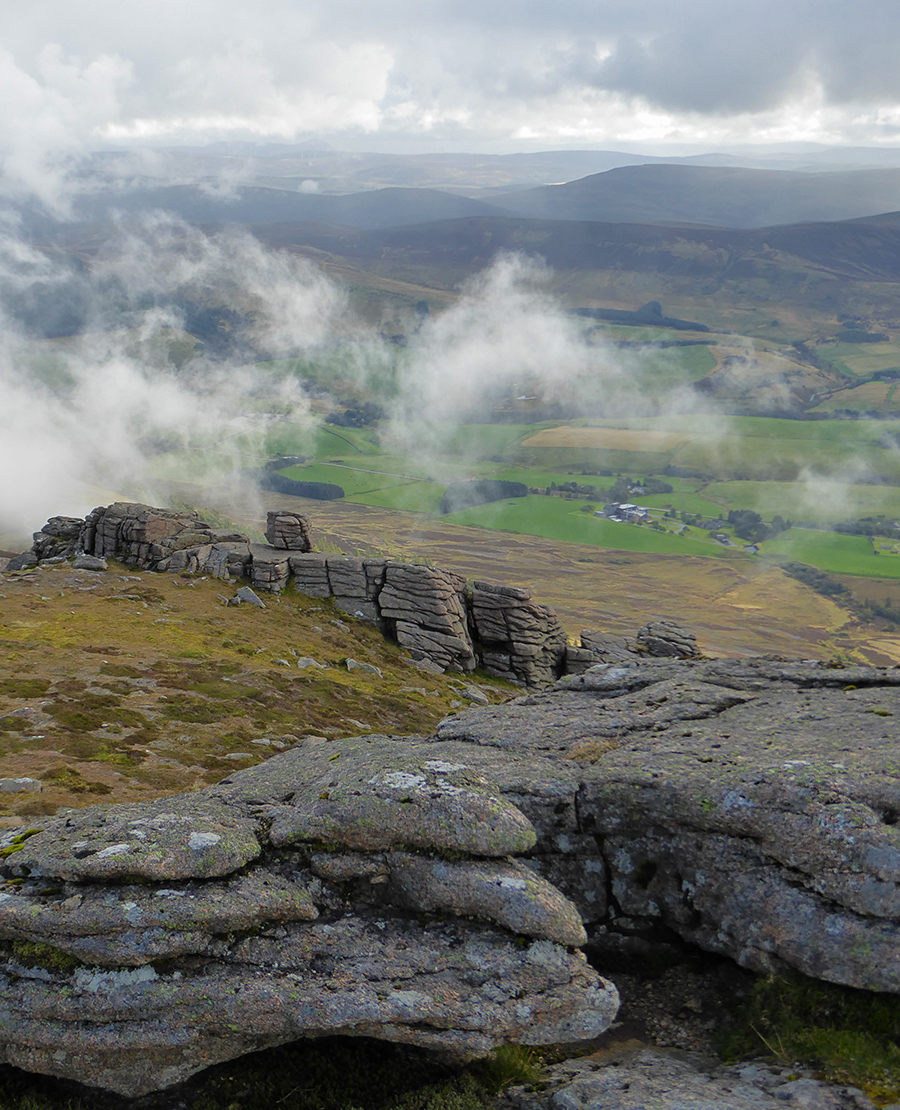
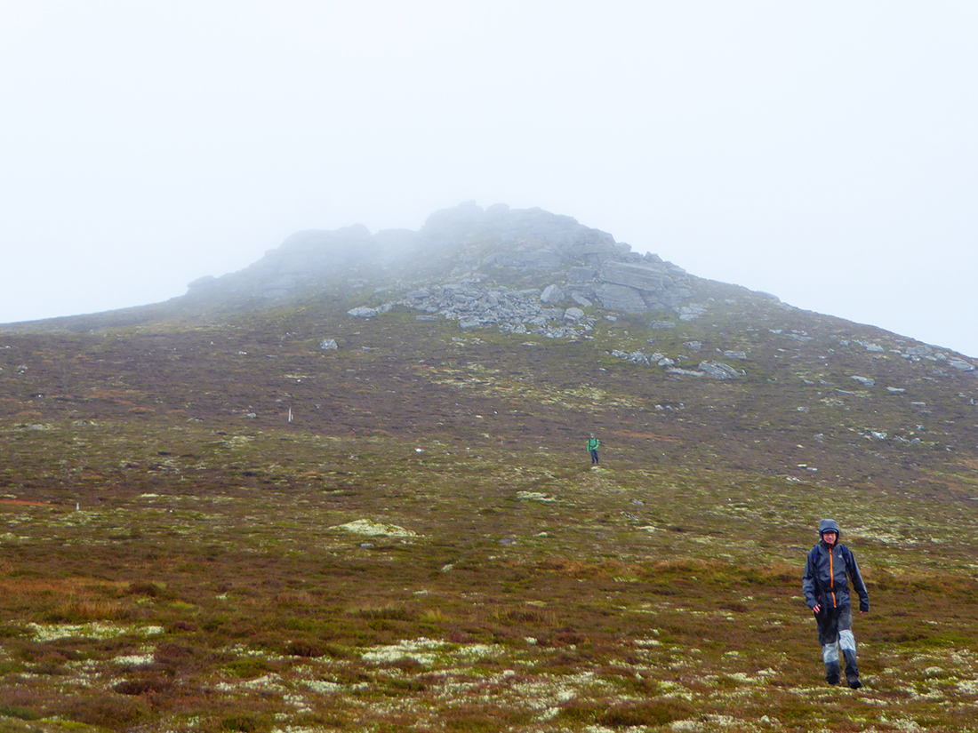
Almost engulfed by clouds now
Up in the clouds
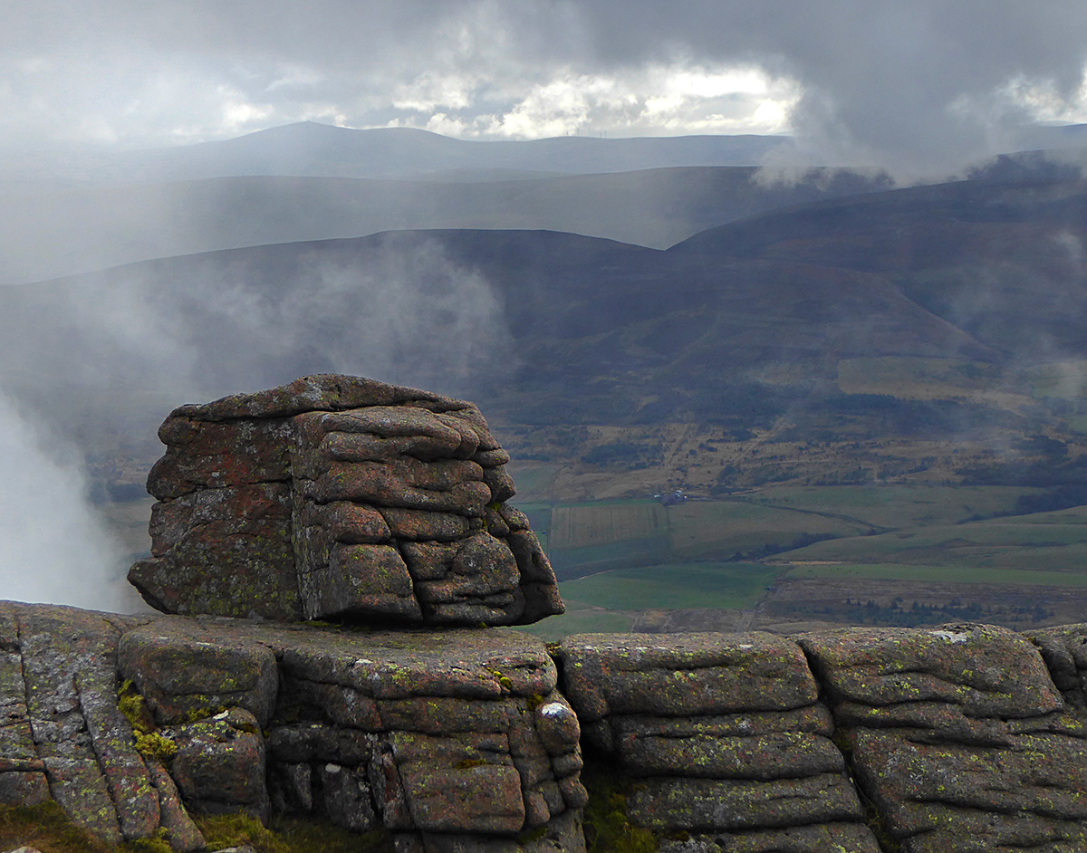
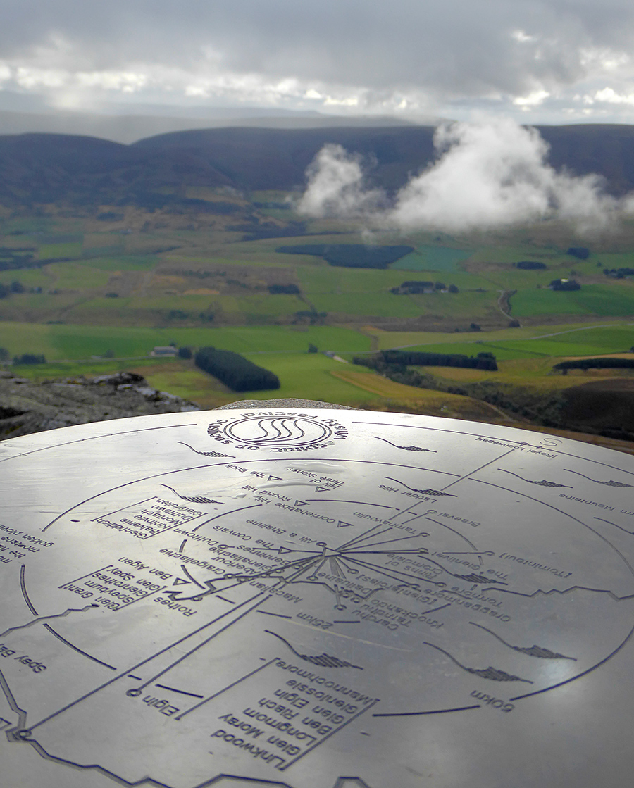
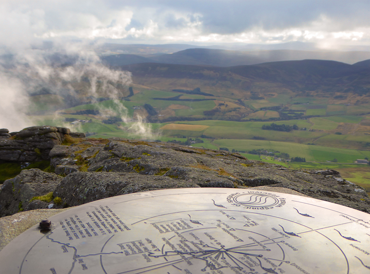
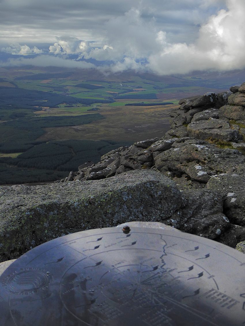
Looking back South from the indicator
Spot the distilleries on the shiny view indicator
Quick spot of lunch then onwards North to the next location
Looking West through a gap

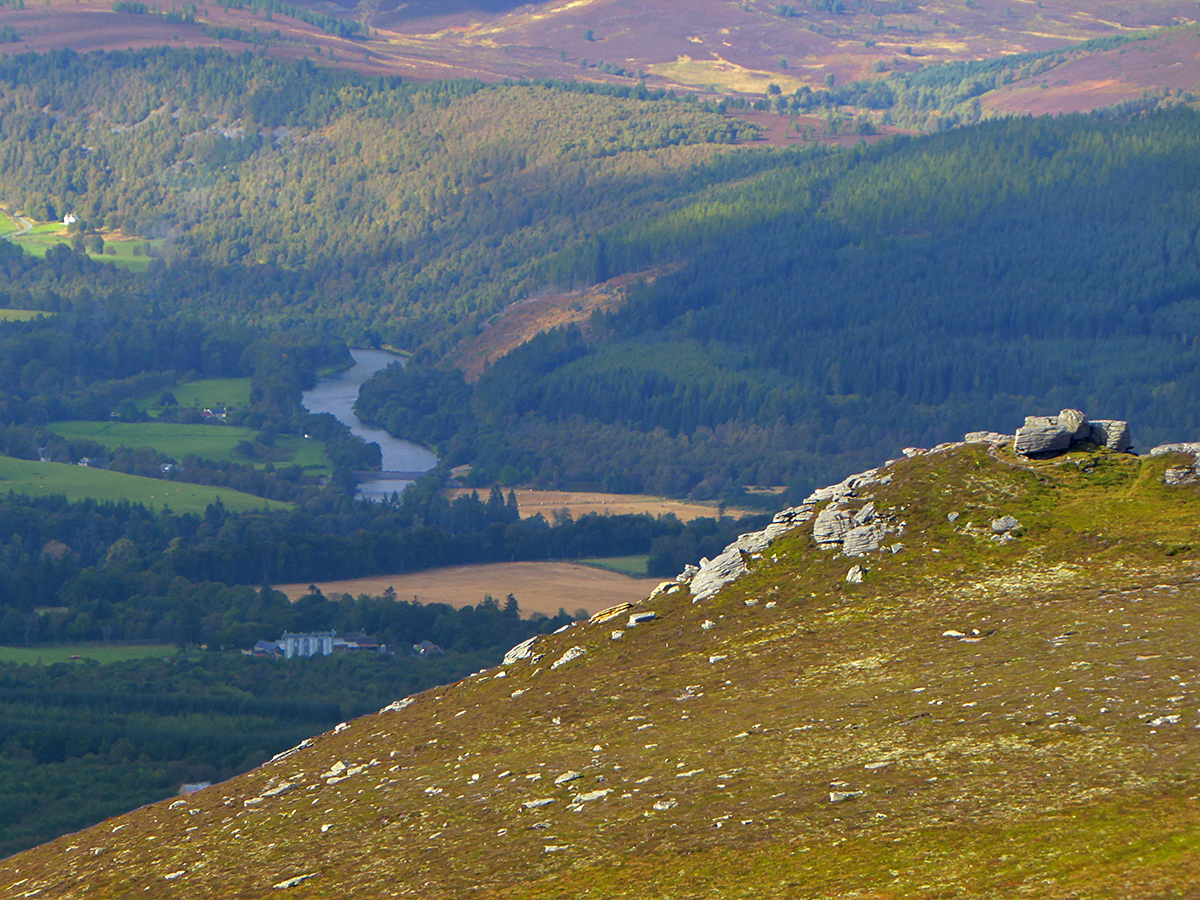
Zooming way in past the Scurran of Morinsh (which will be passed later), to The Spey and the old rail bridge at Cragganmore that conveys the Speyside Way
While making our way, we did a bit of navigation practice counting paces per 100m and taking bearings to a point of interest marked on the OS map called Hangman’s Craig. I should really practice more on map and navigation skills, so was a handy little session. Scurran of Morinsh up ahead, but we are heading North West first to have a look at something marked on the map.
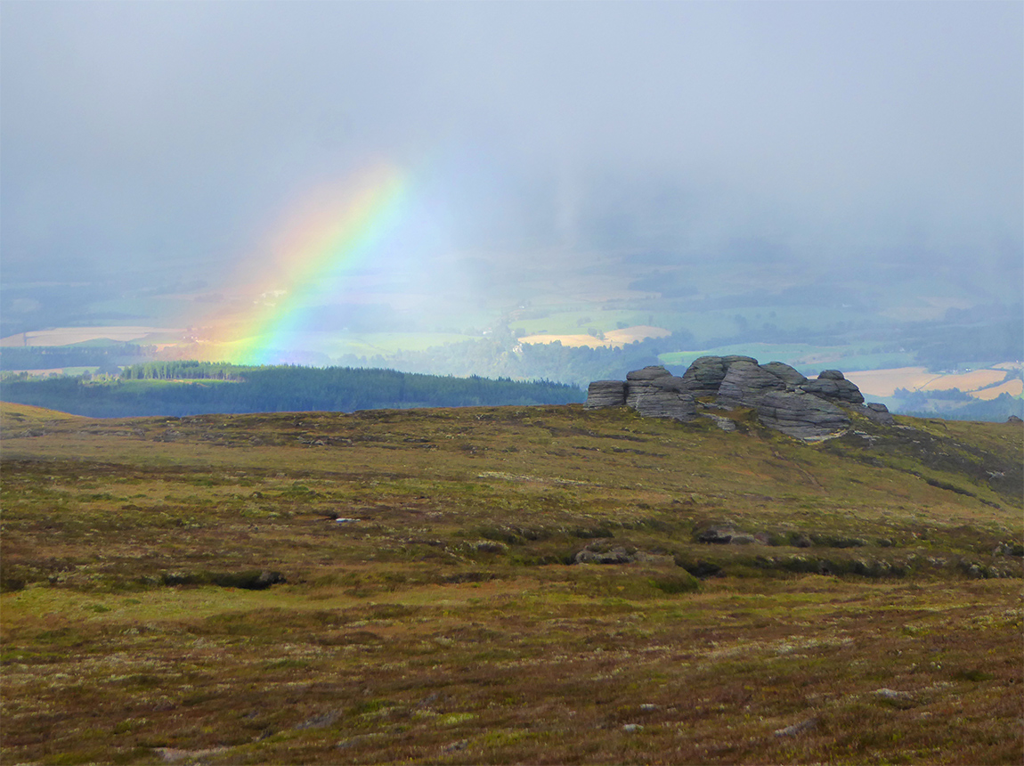
A rainbow appears behind the Scurran of Well
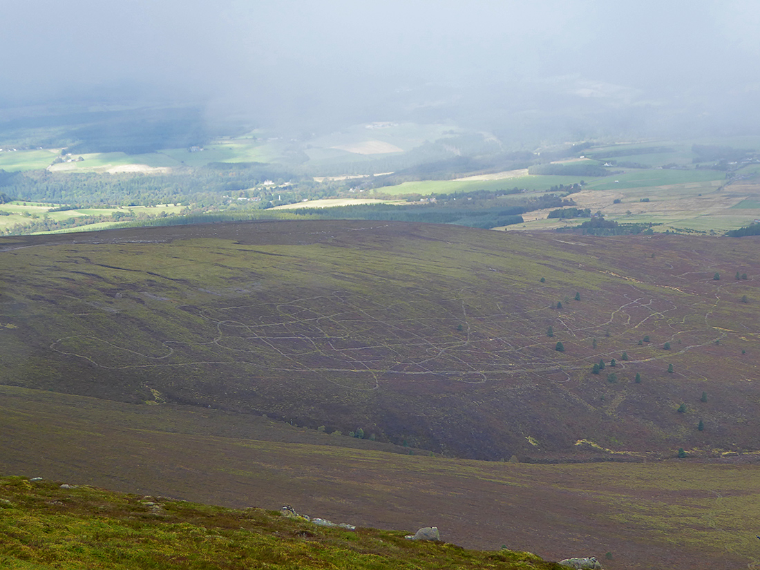
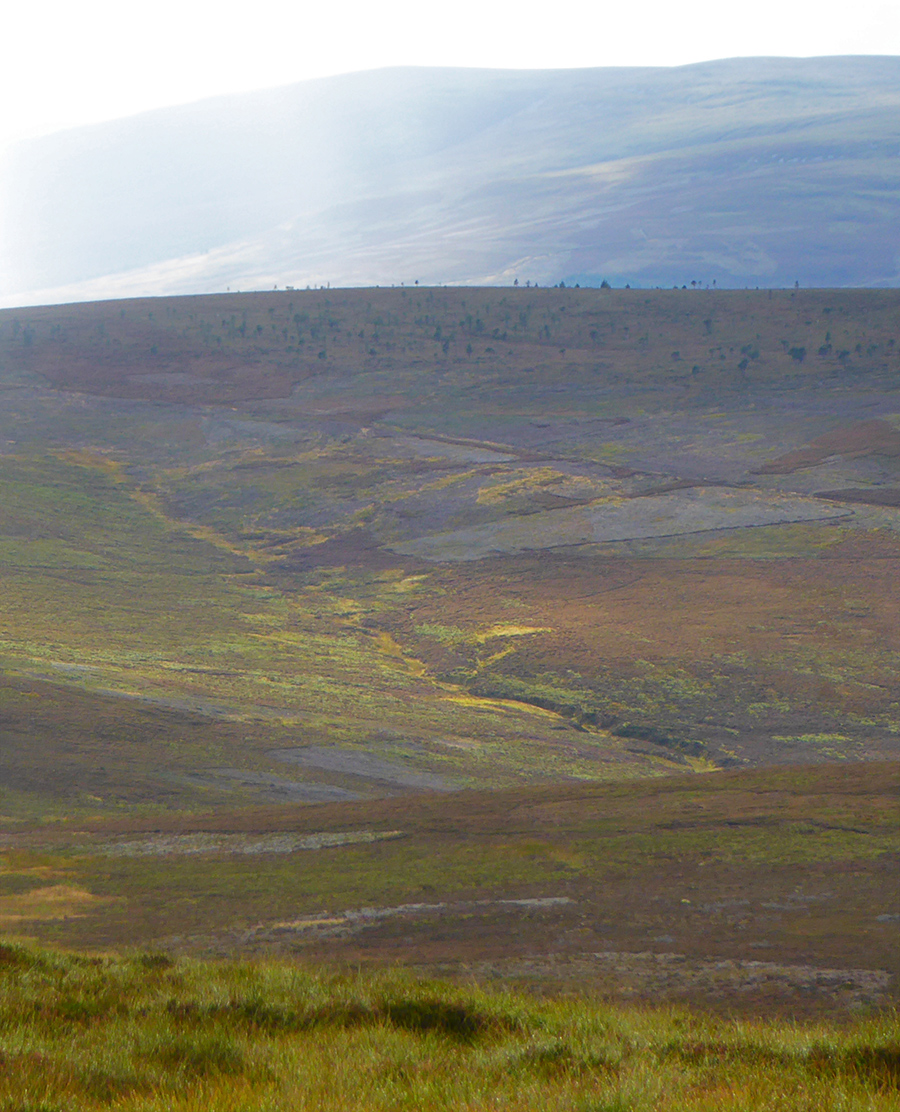
Making our way off piste I notice these crazy paths below
We are looking for ‘Hangman’s craig’ an interesting sounding feature on the map
We arrive at the spot and confirm with gps, but nothing to see, no craig, crag or hollow. An intriguing name but it’s one who’s meaning has been lost in time, google doesn’t show anything of note. We do find edible treasure however, there being loads of cow berries, a few blaes and the odd crow berry
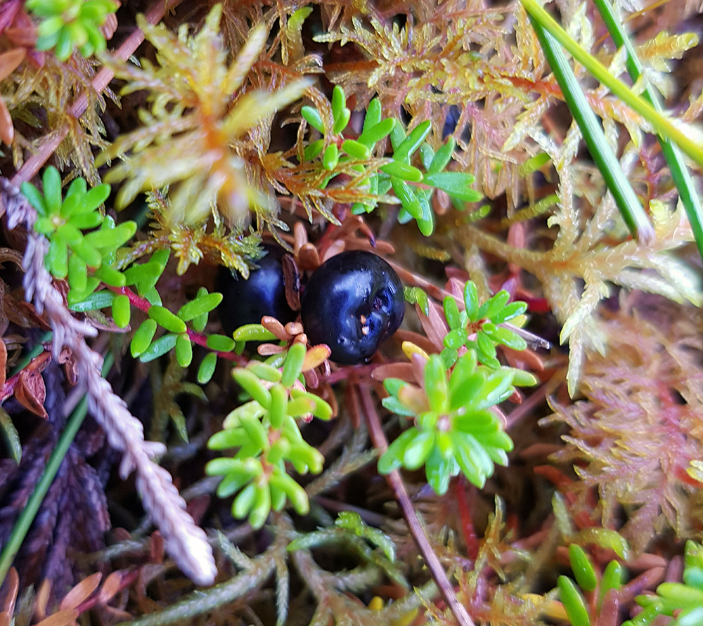
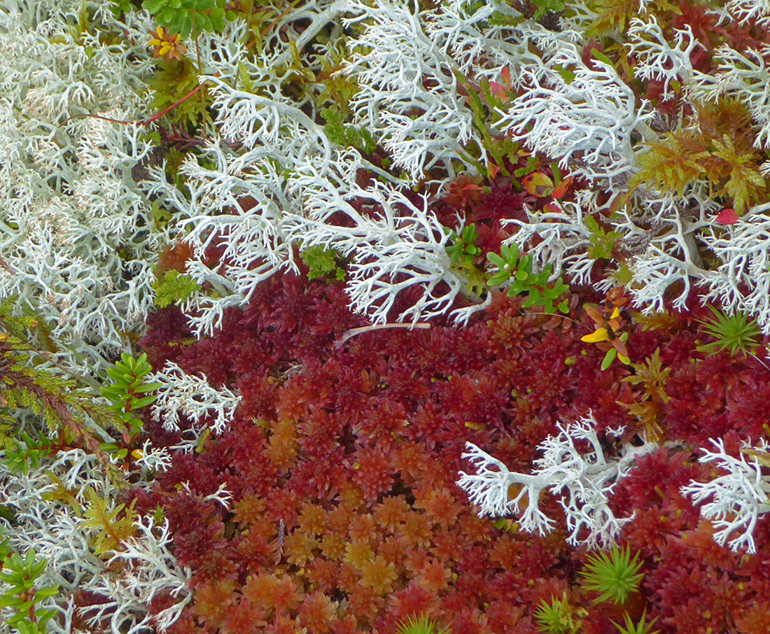
Poking about in the undergrowth it’s a colourful wee world. Reindeer would love it up here
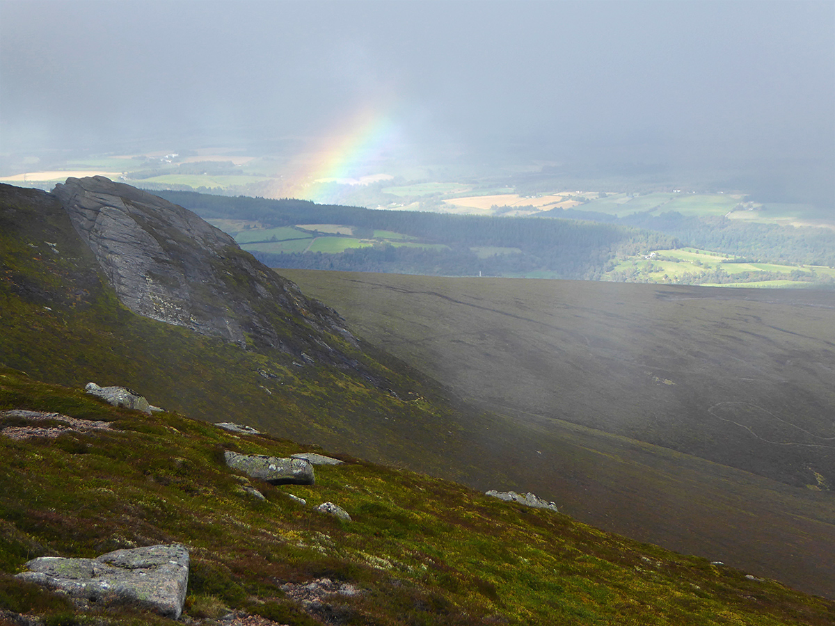
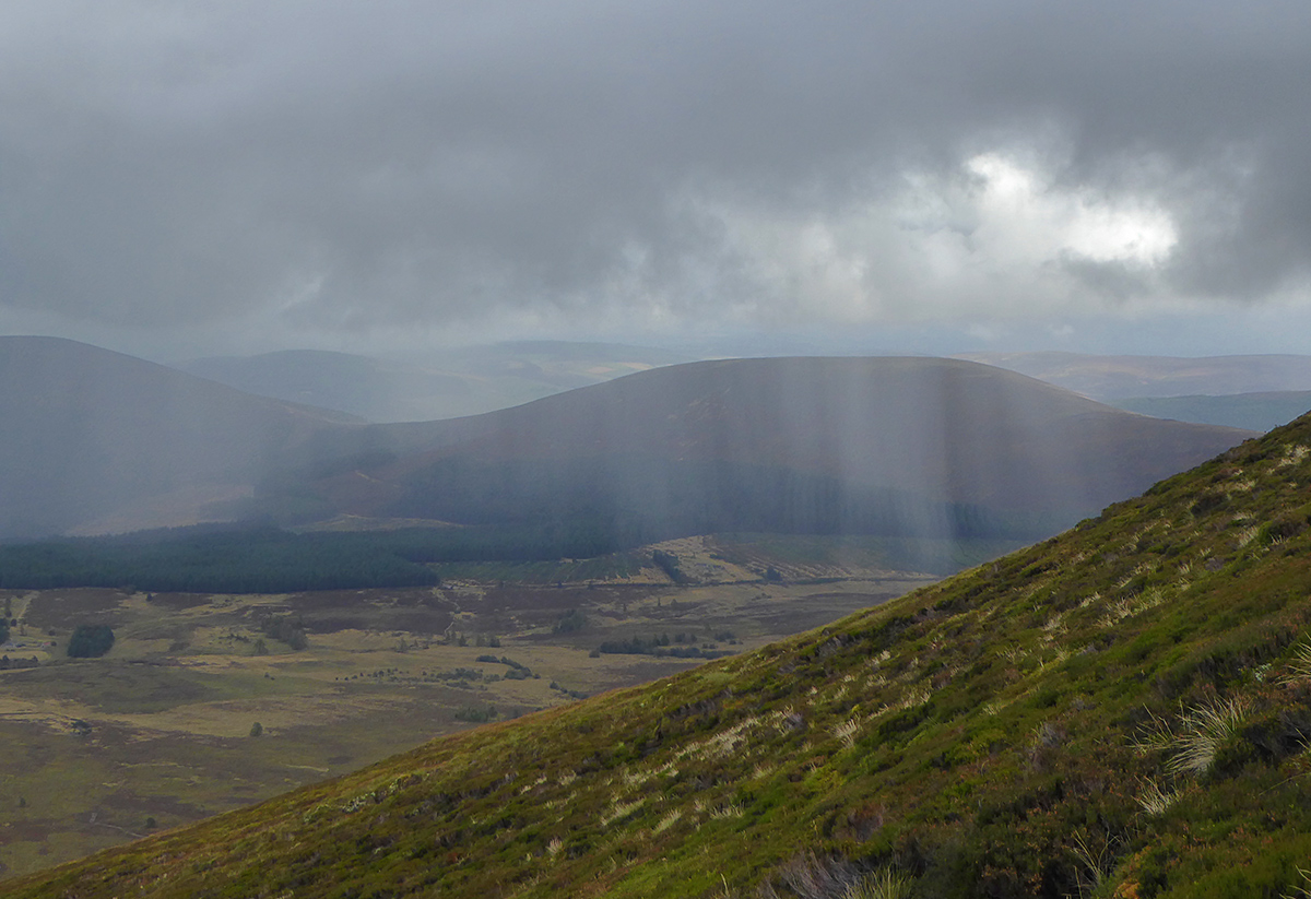
The ‘small percentage chance of rain showers’ in the morning’s forecast is looking like a bigger percentage now
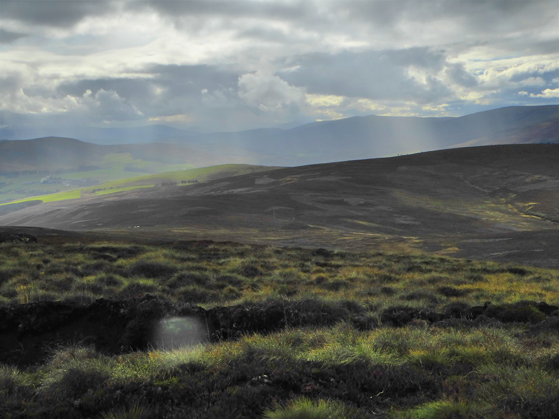
Looking South
We begin cutting along the slope towards the next tor
Chased by showers
Perhaps they’ll pass
Perhaps not
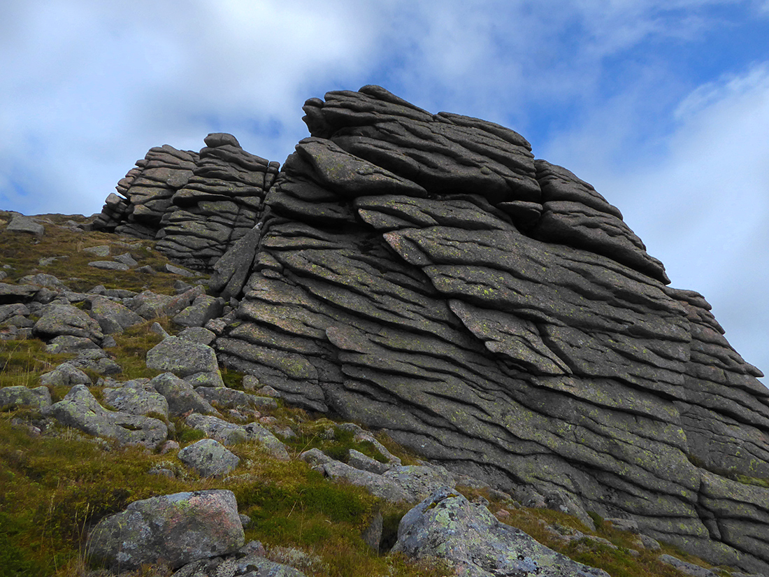
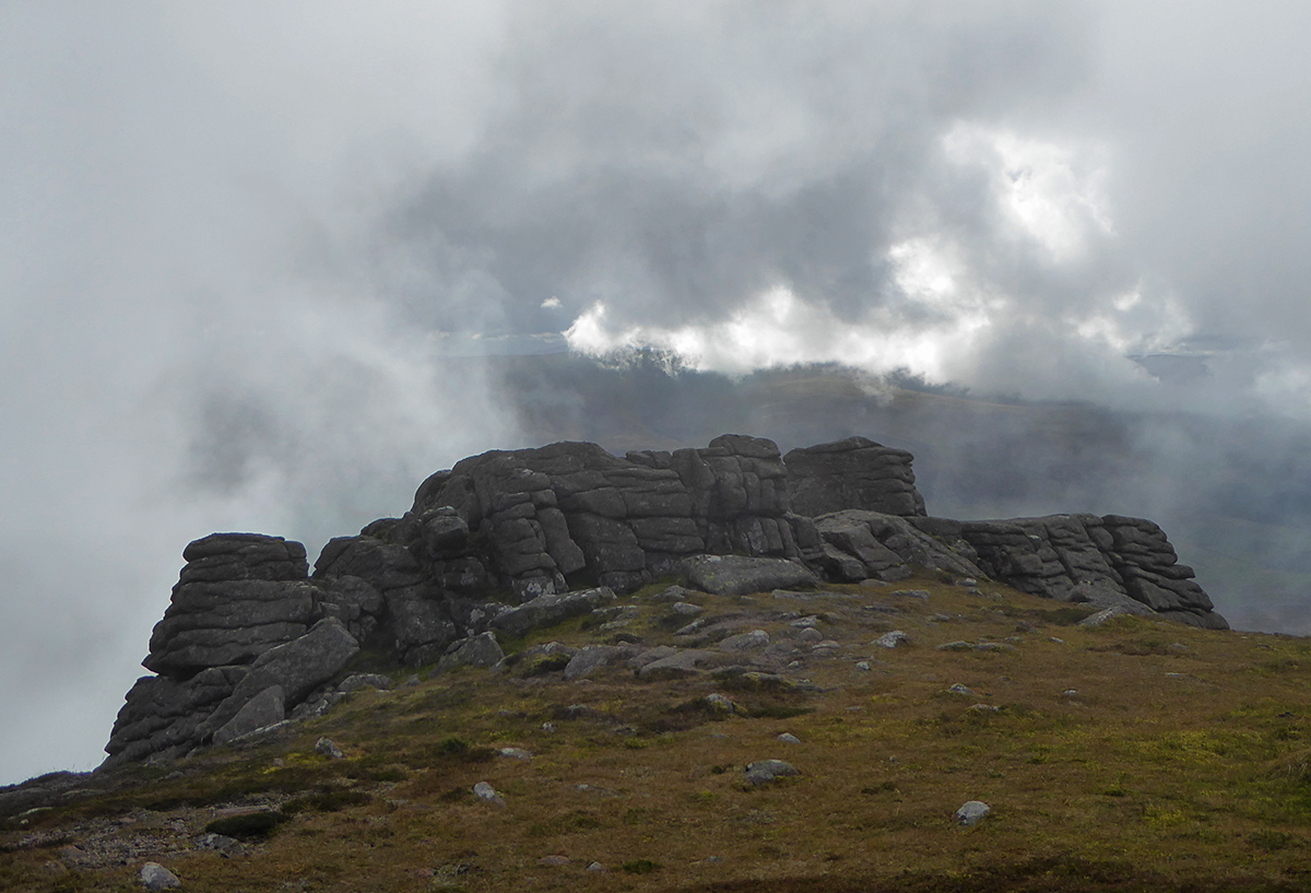
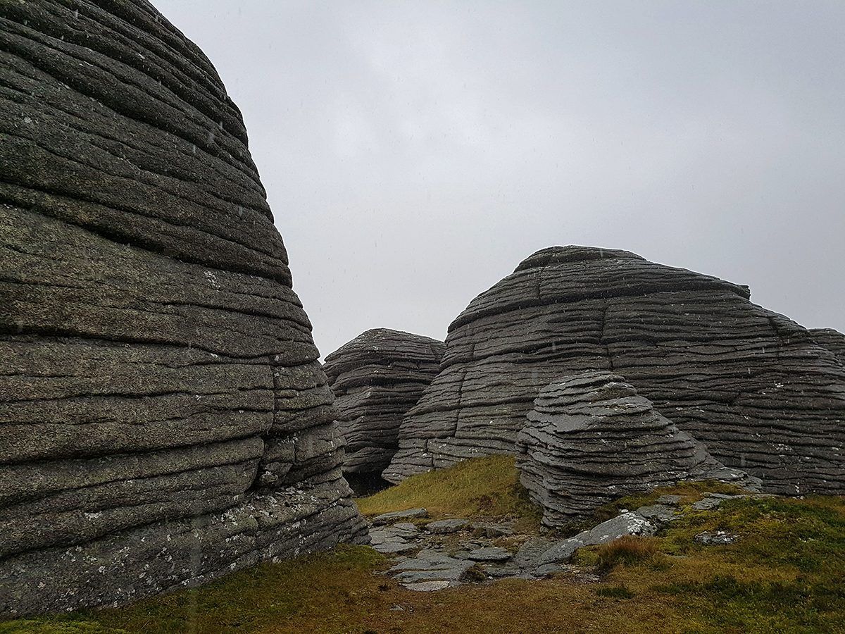
Here we are, another nice chunk of rock – Scurran of Well
If I was a geocacher this’d be a good hidey hole
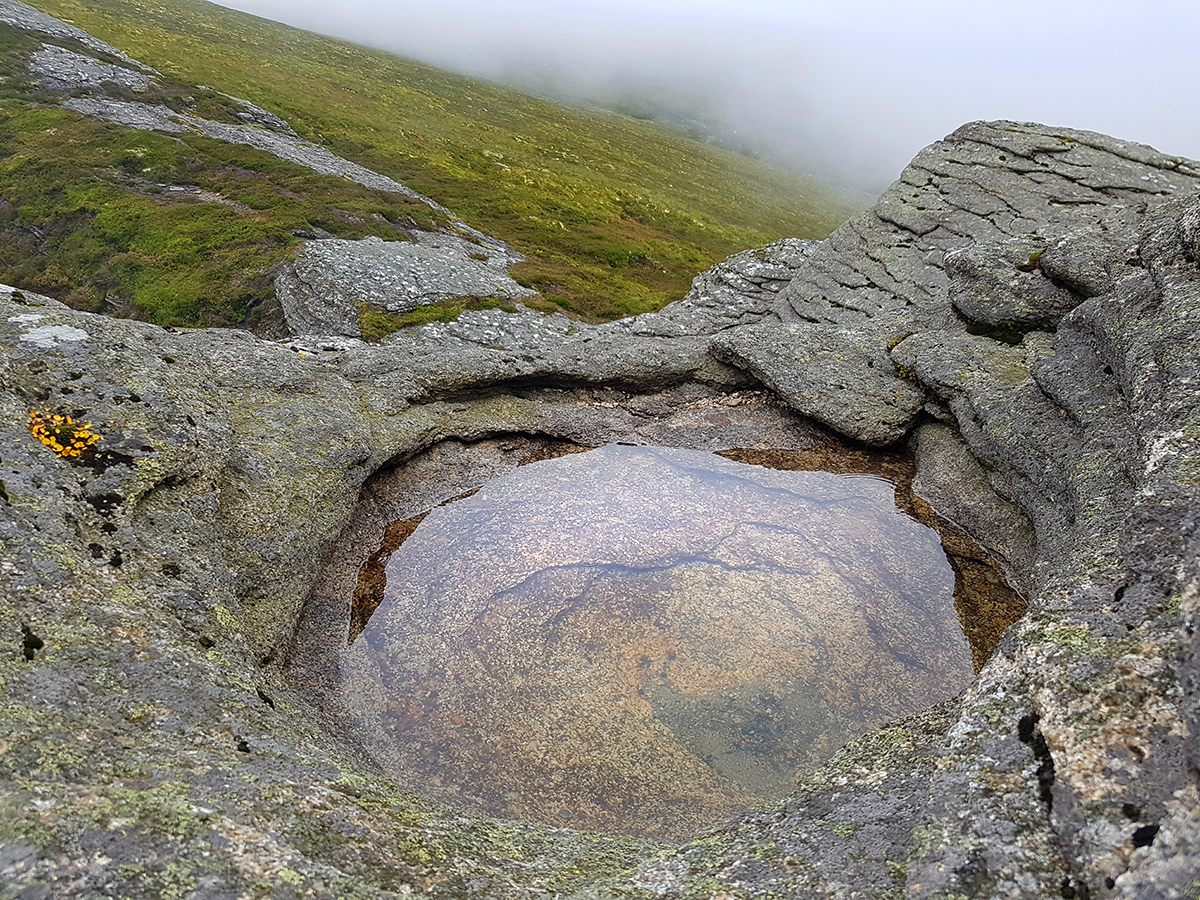
The ‘well’ is at the top

North side of the tor
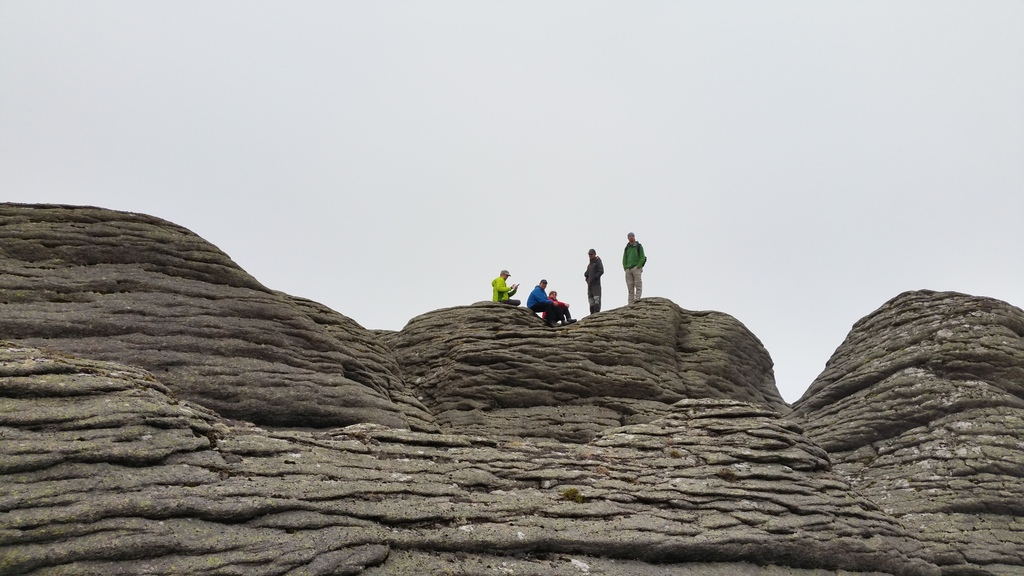
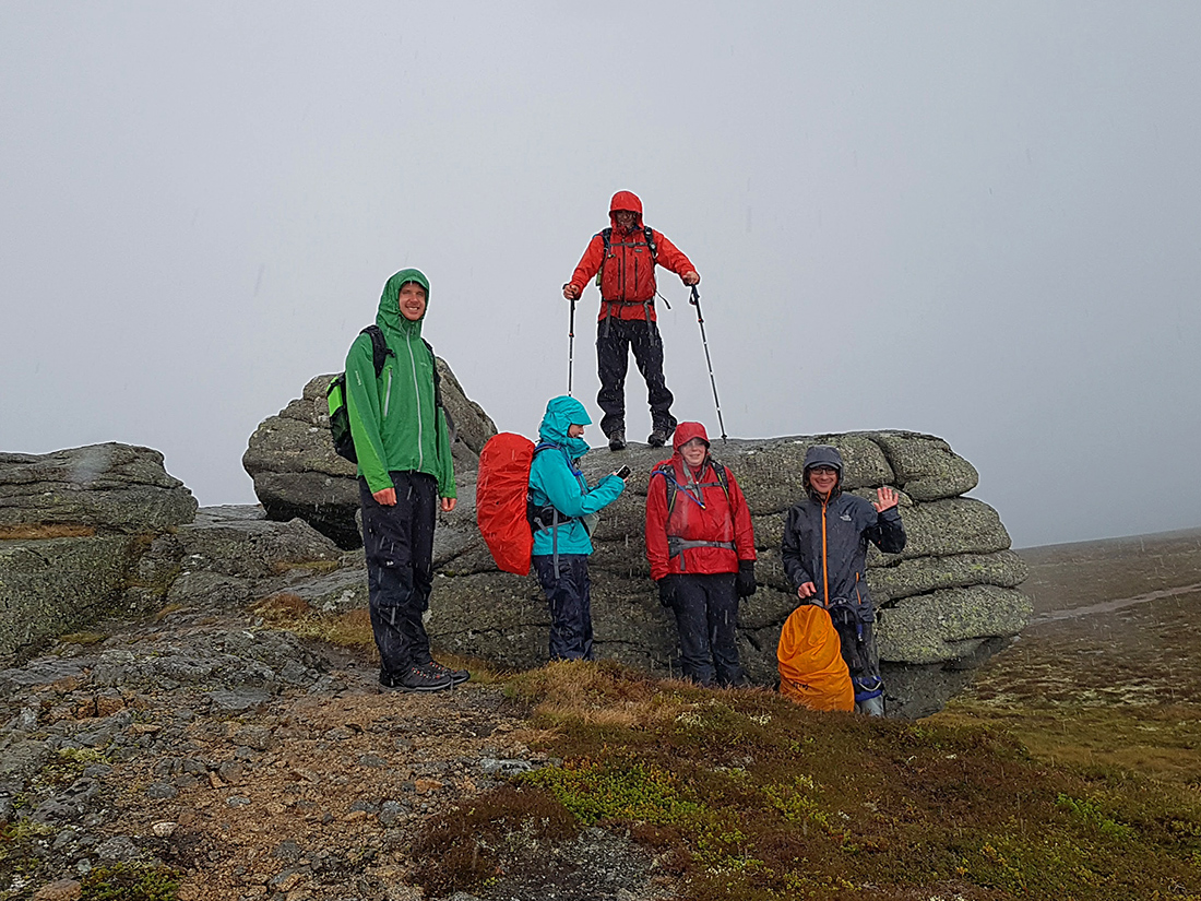
The party explores the tor

Tor toppers
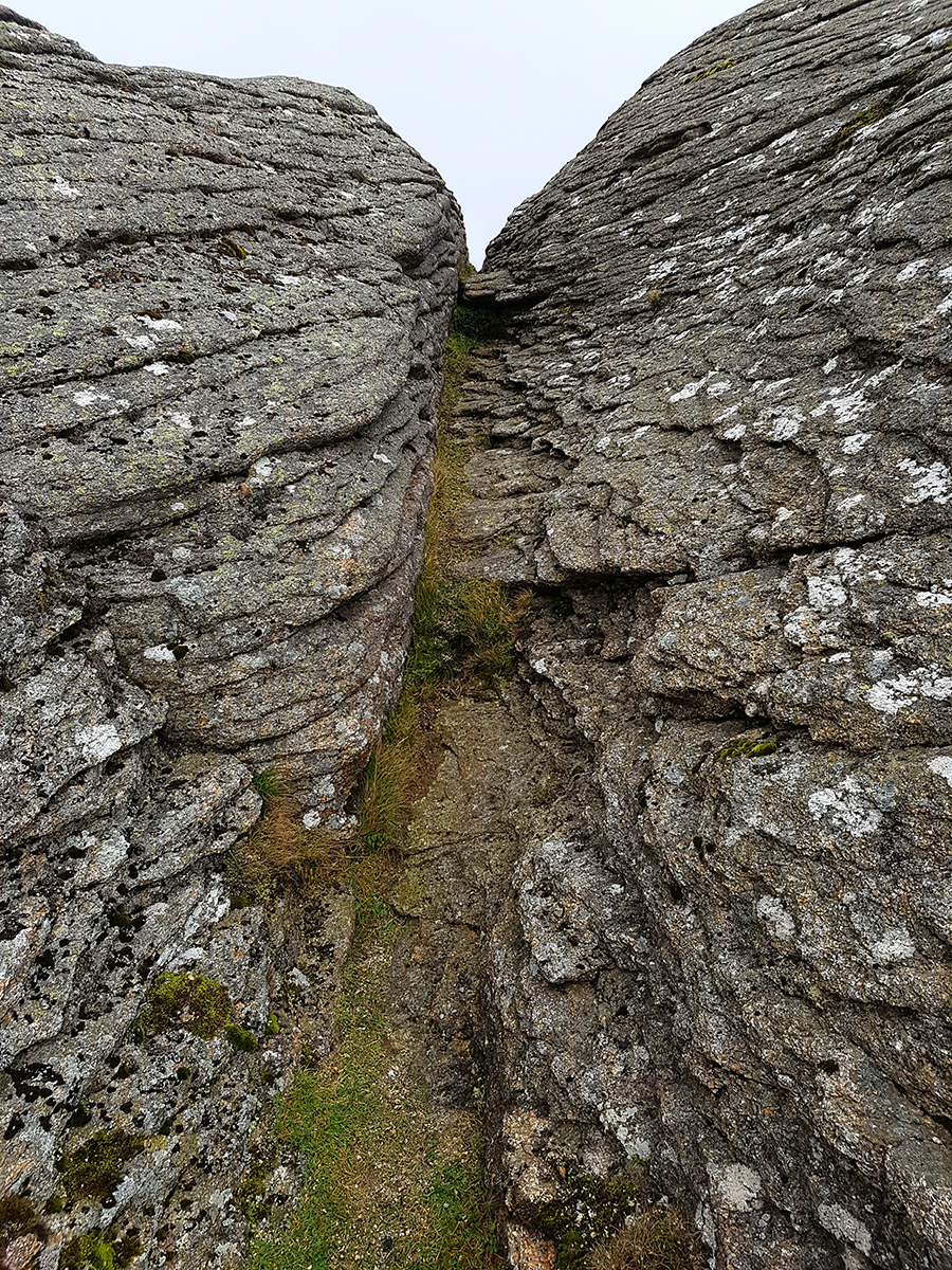
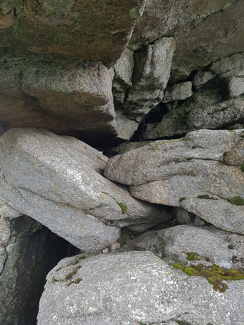
There’s a gully cuts across the rock pointing South, climb up and right to see the ‘pin well’, careful on the other side a sheer drop
It’s apparently tradition to leave an offering in the pool. We offer up a few small coins and a safety pin

Clearly we have angered the gods of Ben Rinnes with our paltry fare, as it starts belting it down. Time to don the waterproofs. My new Berghaus VapourLight smock gets it’s first airing, unfurling it from it’s impossibly small pack sack (about the size of a tennis ball). The smock is a faff to get on over my outdoor research halogen (hybrid light weight primaloft top). I have a size medium, and being a slim 70kg 5’10 reckon this should be kept for over a base or thin fleece. Even over a base layer it’d be a faff, because it’s so translucently thin, tugging it on roughly seems like a bad idea. It does however have a pocket which the full zip version doesn’t. Lesson one – should have went an extra tenner and a few grams heavier to get the full zip version.
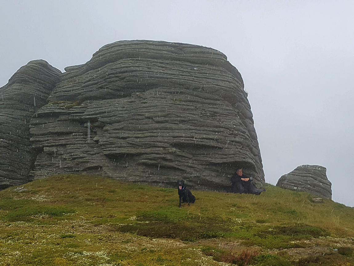
Heading SSW to ‘Lady’s Chair’ another rounded behemoth looms out of the mist

I’m surprised passing through these other-worldy shapes by a chap out with his dog, he’s found a wee ledge to shelter under
On a better day I’d have spent a bit of time having a clamber
Mind the gap

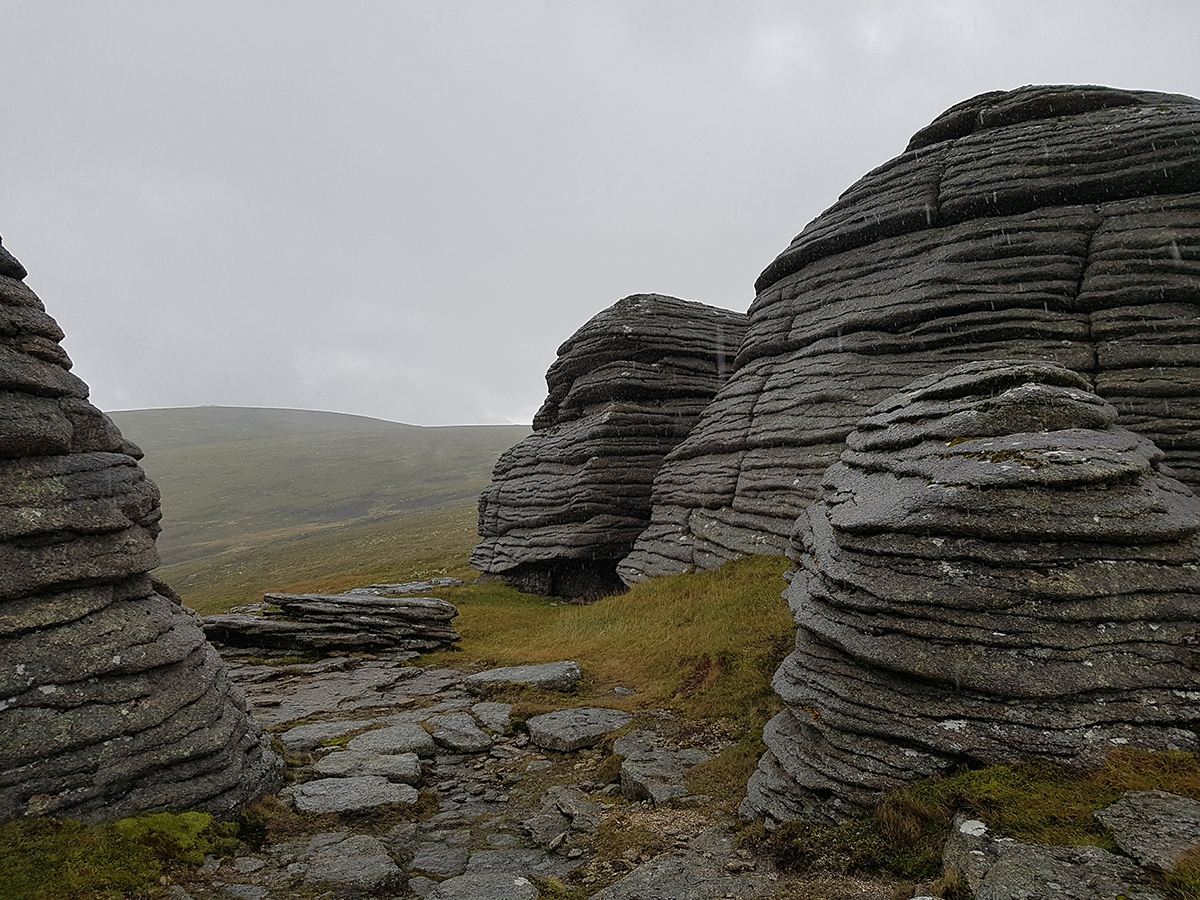
Negotiating the peat hags we head towards the last scurran
Scurran of Morinsh

The rain now turned to hail
A soggy crew but still smiling
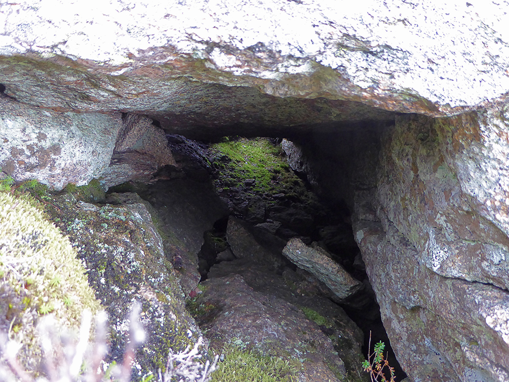
There’s a small ‘cave’ under the overhang
Heading downwards off the hill and across these cracks in the peat bog
The scurran disappearing back into the clag
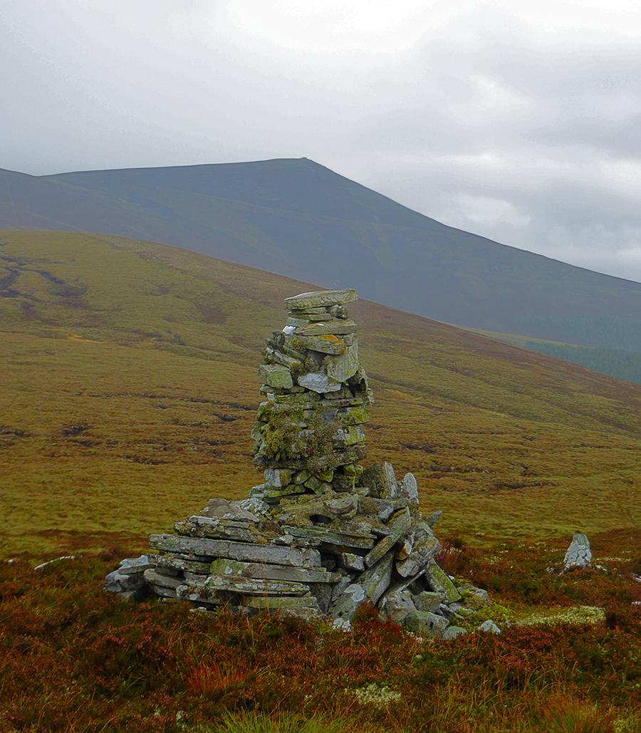
I think this might be Cairn Mulgainich
2 scurrans and the peat hags we clambered through earlier
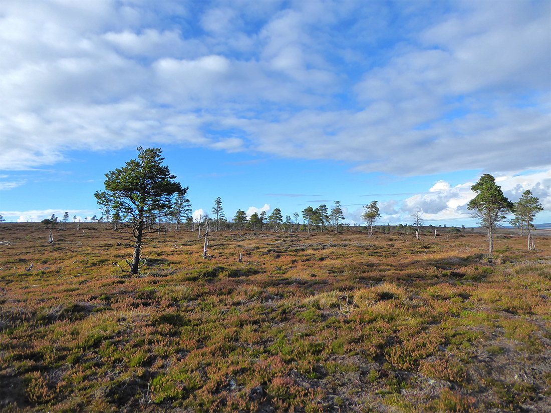
The clag began to lift a bit. We’re heading towards that sparse ‘wood’
Sun beams breaking through
In the distance we think that may be part of the Speyside Way we’ll join for a bit
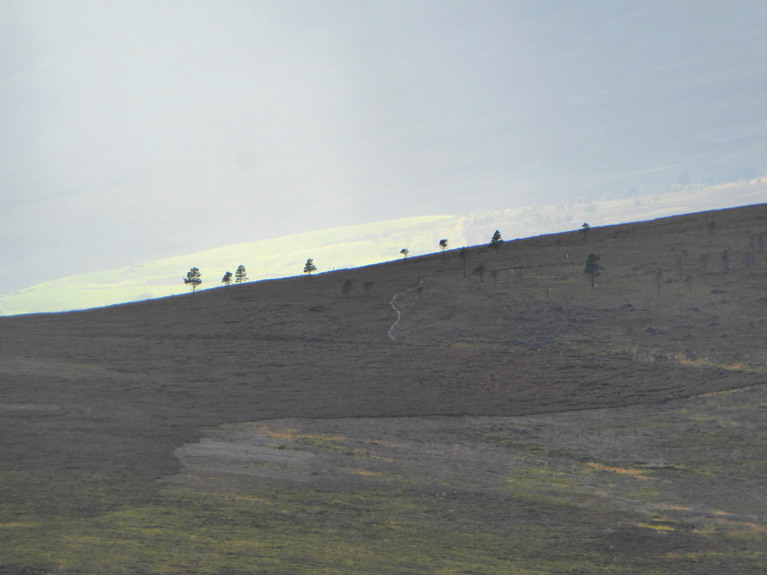
Somebody reckoned these stumps could be 1000s of years old, preserved in the peat and only recently exposed. Certainly there’s been no trees around here in a long time.
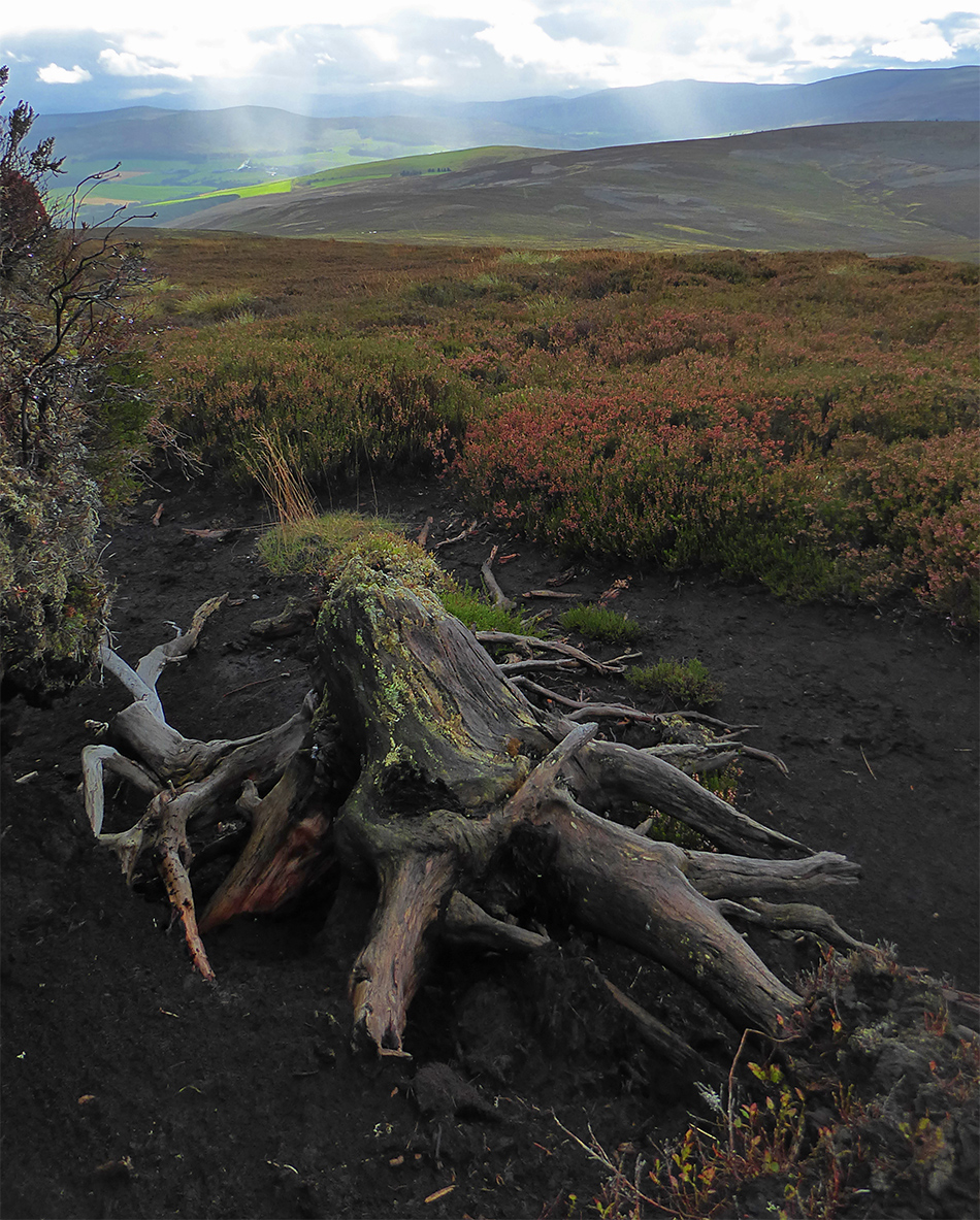
Time to strip off the waterproofs, warming up again and looks to be continuing dry
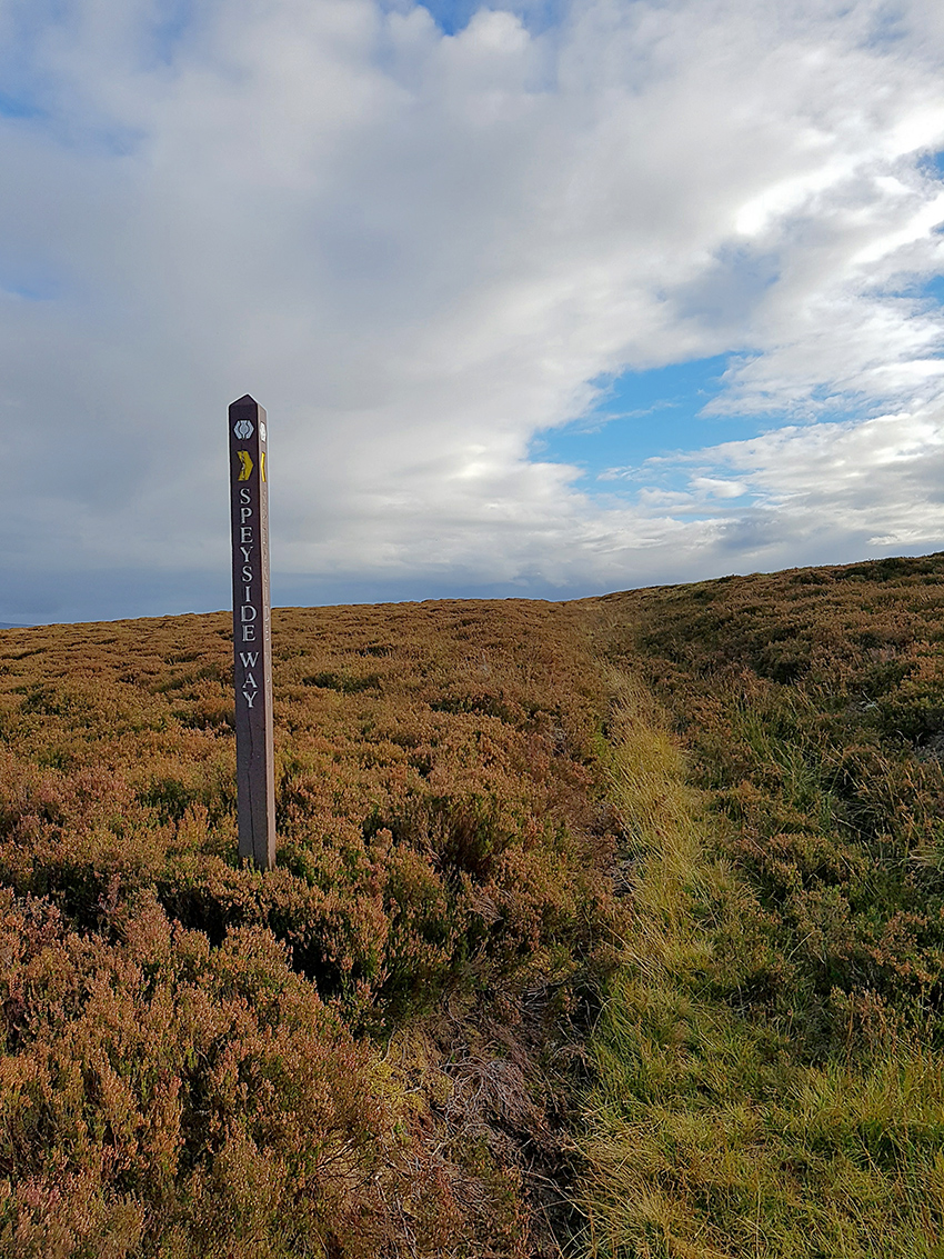
Joined up with the Speyside Way

The straggle of young forest we spotted earlier
A fine pine in line with the hill

The path is pretty overgrown

Heading down into the valley

Over the Hill of Deskie looking down into Glenlivet

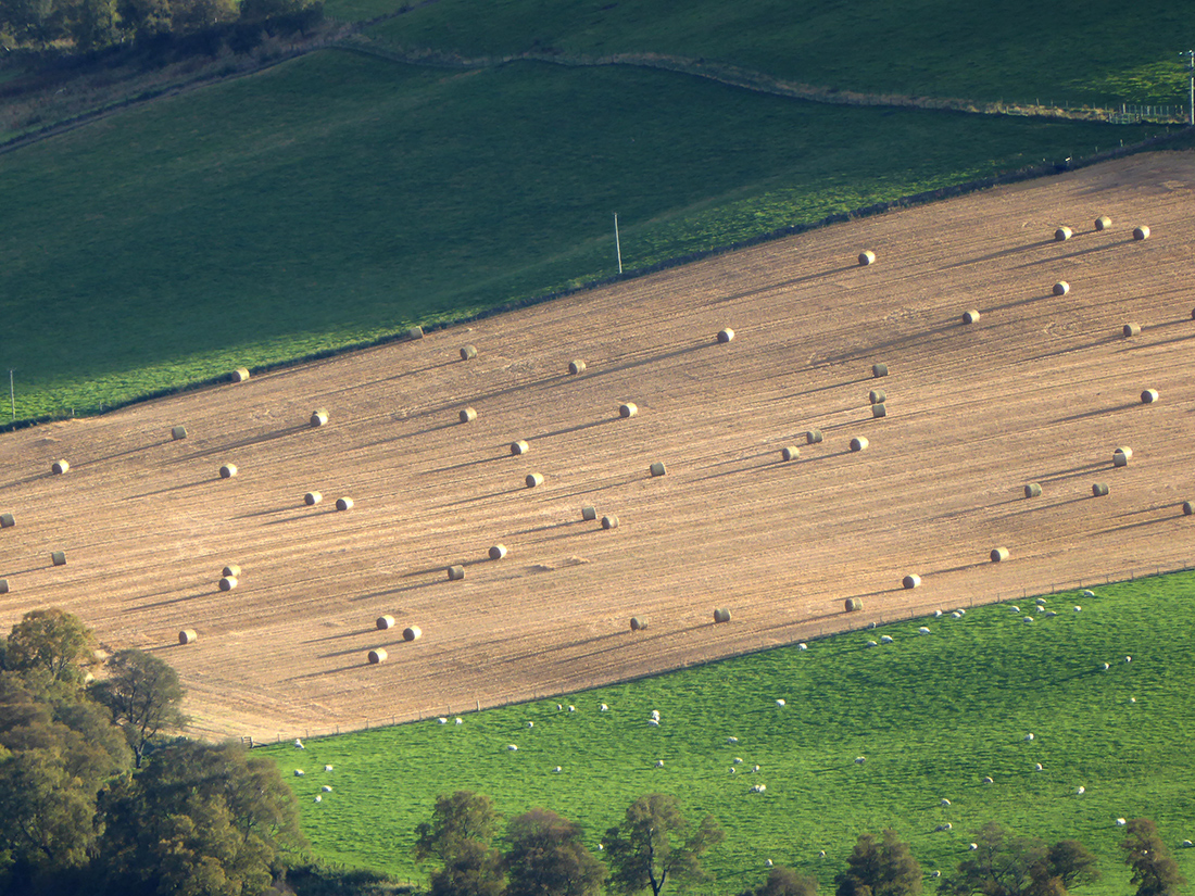
Late afternoon sun casting shadows on the hay bales
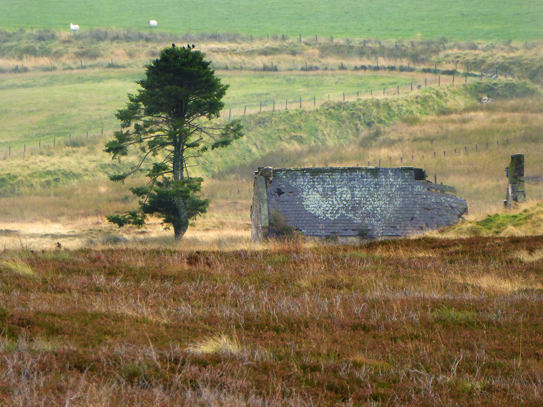
A tree stump alone in the pasture

A final stretch downhill takes us to the destination for pick up, the village hall at Bridge of Tombreckachie. If you’re ever there check out the little herb garden outside beside the car park, a great little variety of plants, love the smells.
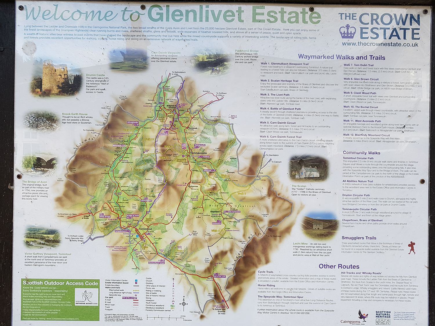
Here’s a sign about the Glen Livet estates there
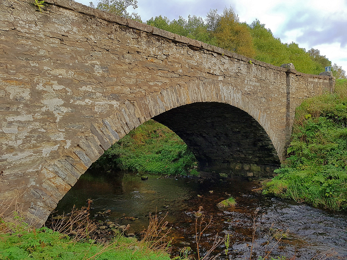
And the bridge heading back home
3d fly through of route: