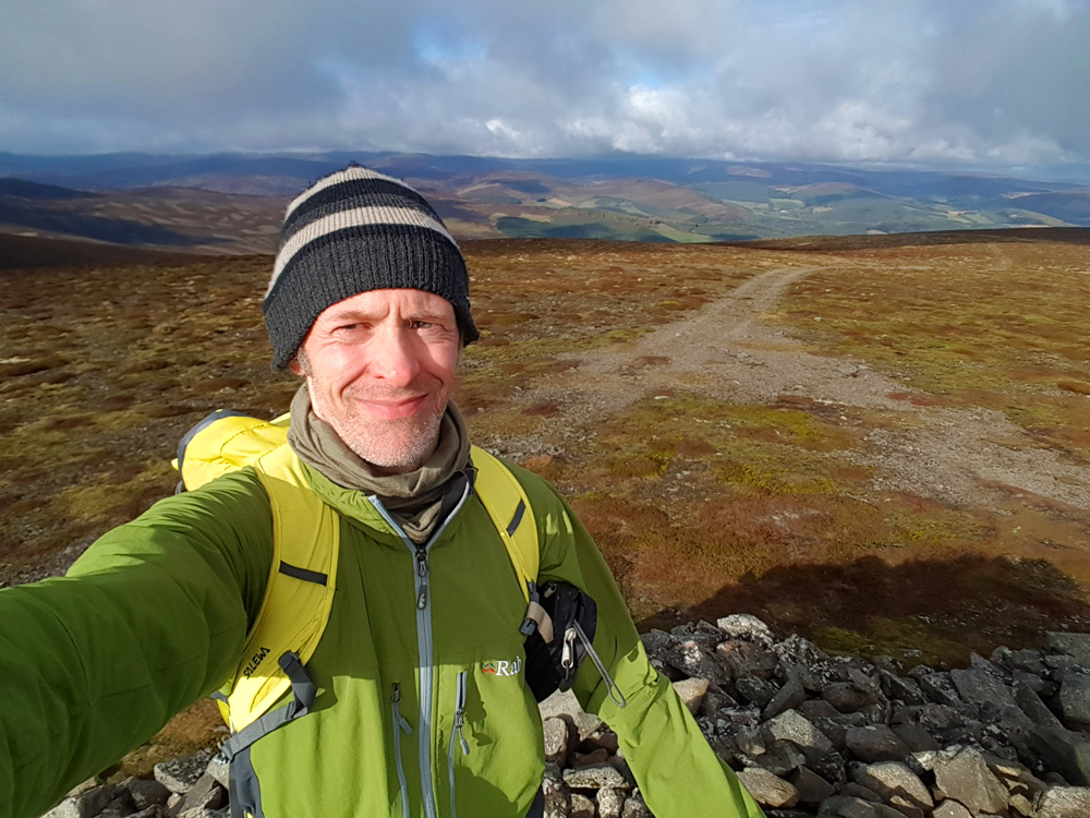
Today’s trip with the marine lab crew is primarily to Mona Gowan, a graham to the West of Morven, not far from Strathdon.
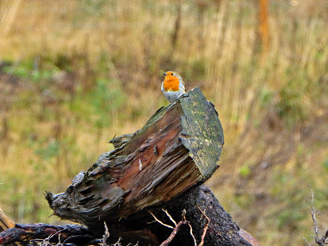
Parking up beside Culfork, a local keeps an eye on us as we disembark and make ready.
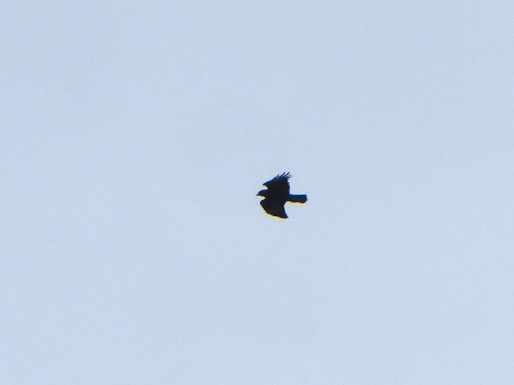
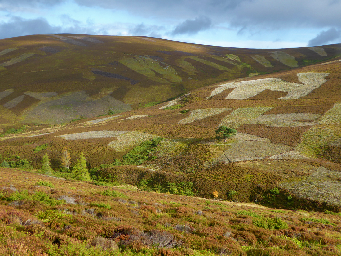
And another from high above
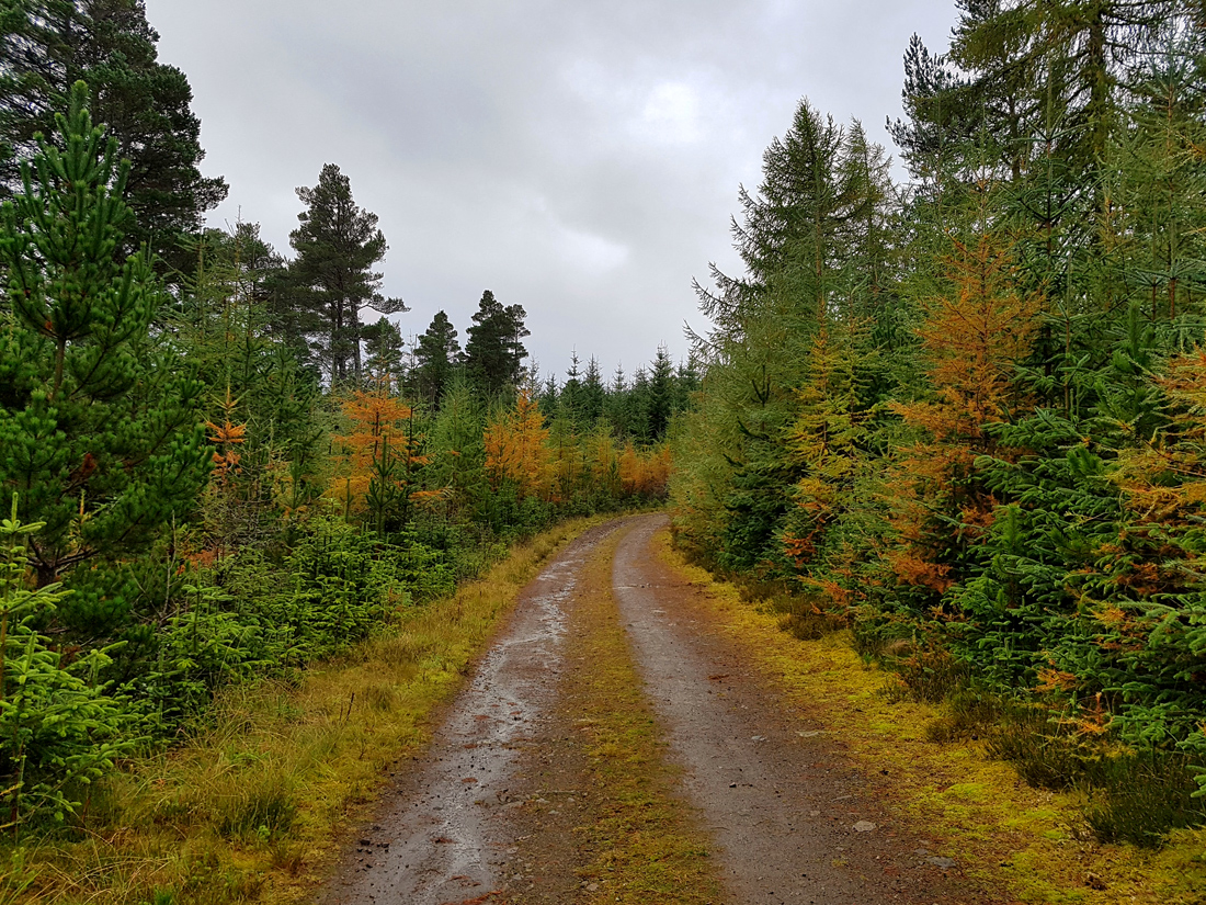
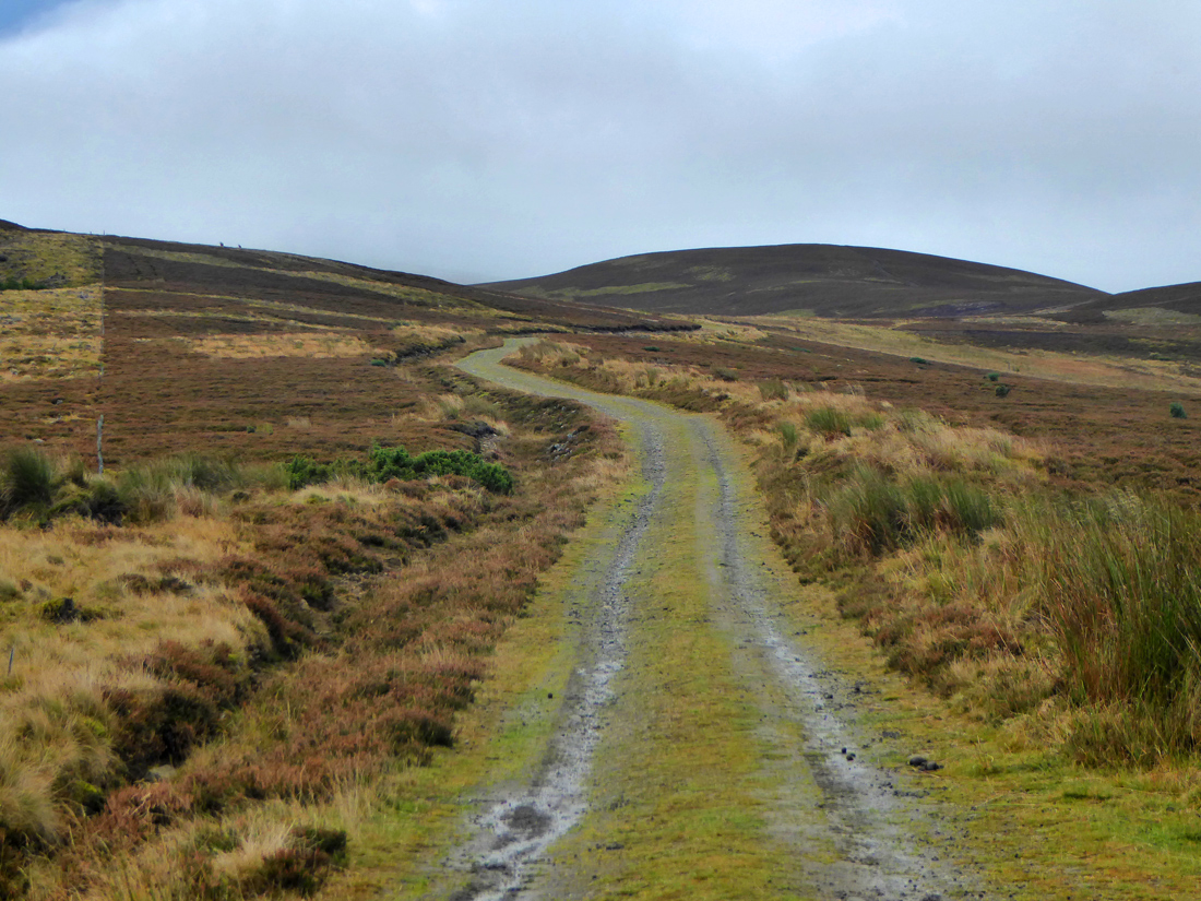
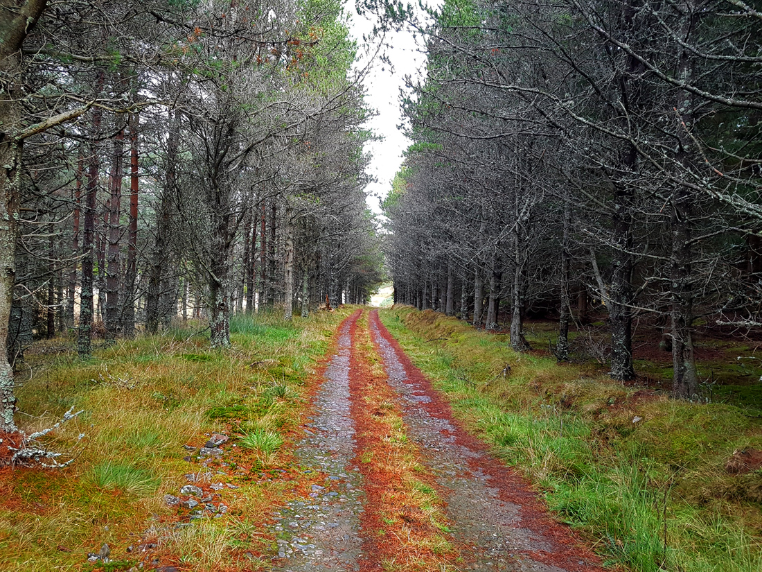
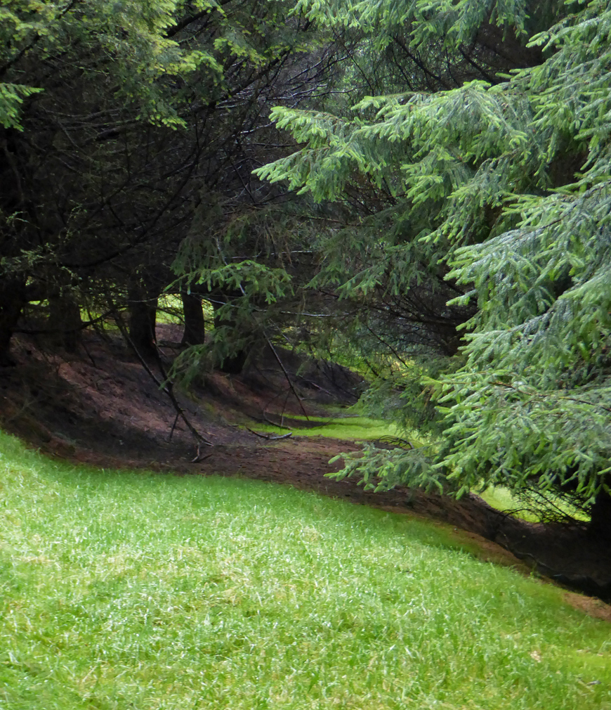
Taking the path from Torranbuie we make our way up through the Autumn hues of a plantation.
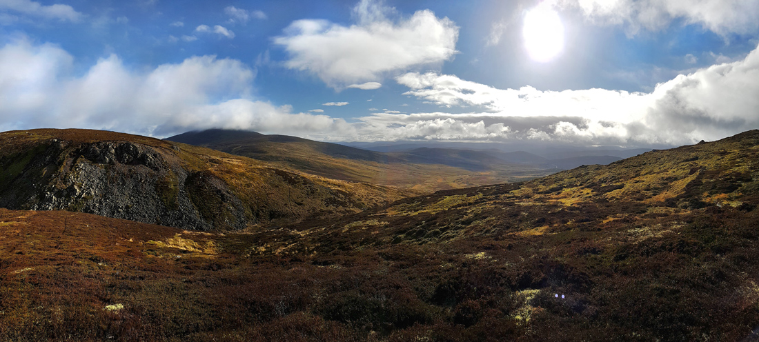
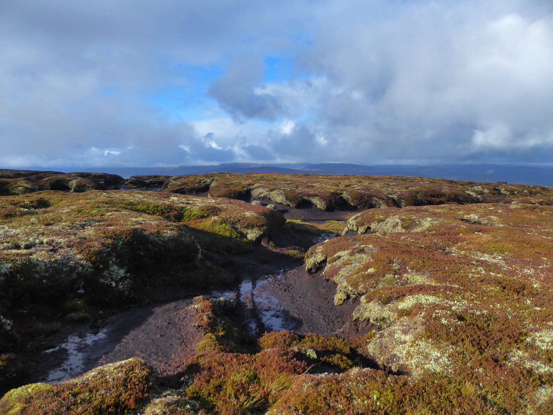
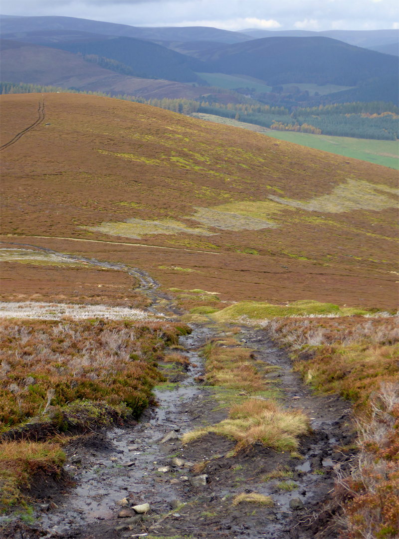
We reach the open moorland that will be our primary environment for the day
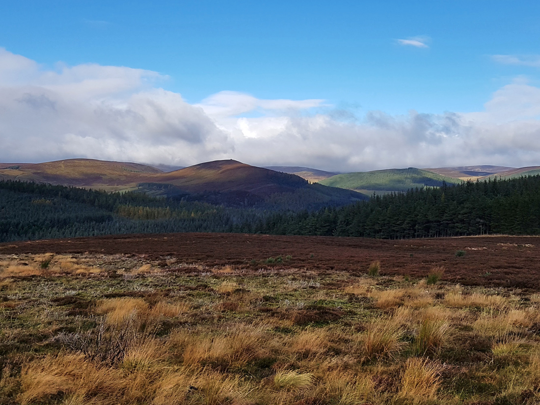
Looking West to a neat cairn
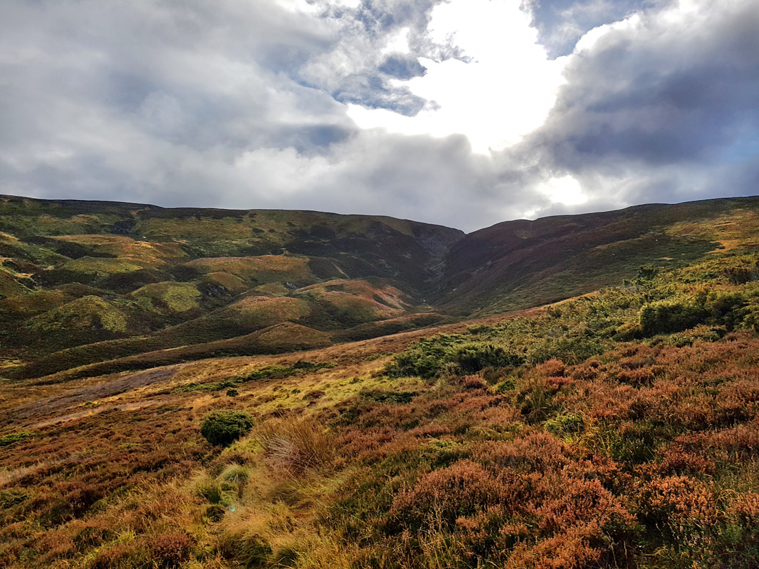
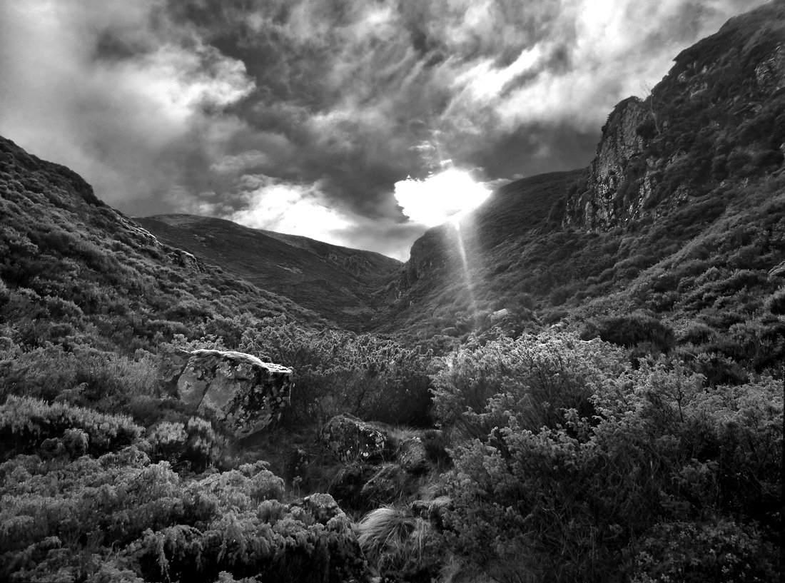
With the rest of the party making slow progress, I crack on ahead – as I skirt around Meikle Charsk Hill, I can see the cleft in the ridge to the South. This is the Slacks of Glencarvie: “a steep and narrow ravine, Consisting of lose boulders and projecting rocks and Cliffs, partially on either Side” hmm looks interesting..
It’s unclear from this distance whether it’s navigable, but having built up a sufficient lead, I can always about turn and rejoin the rear of the procession. I cross to a lower non-OS track that will go closer and give a better look.
From a bit closer, still can’t really say if it’s doable, and there are no trails visible. You can see the Breacon hillocks, drumlins that are a result of glacial action.
The slacks themselves are likely the result of a glacial outflow. An old folk tale tells of a different formation – that a witch, Cailleach Bheathrach, was said to have bitten away a part of the hill to try and get the Don to flow into the Dee
I leave the track and thrash through the heather and juniper following the faintest of sheep paths towards it.
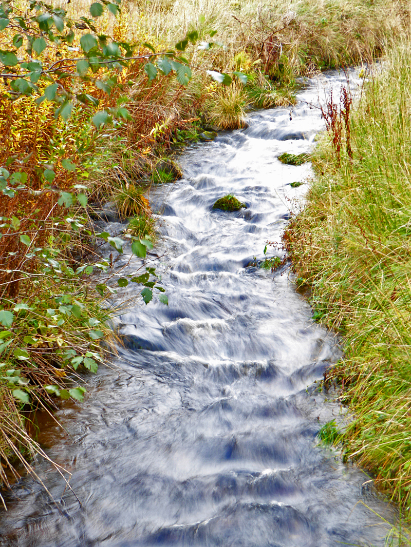
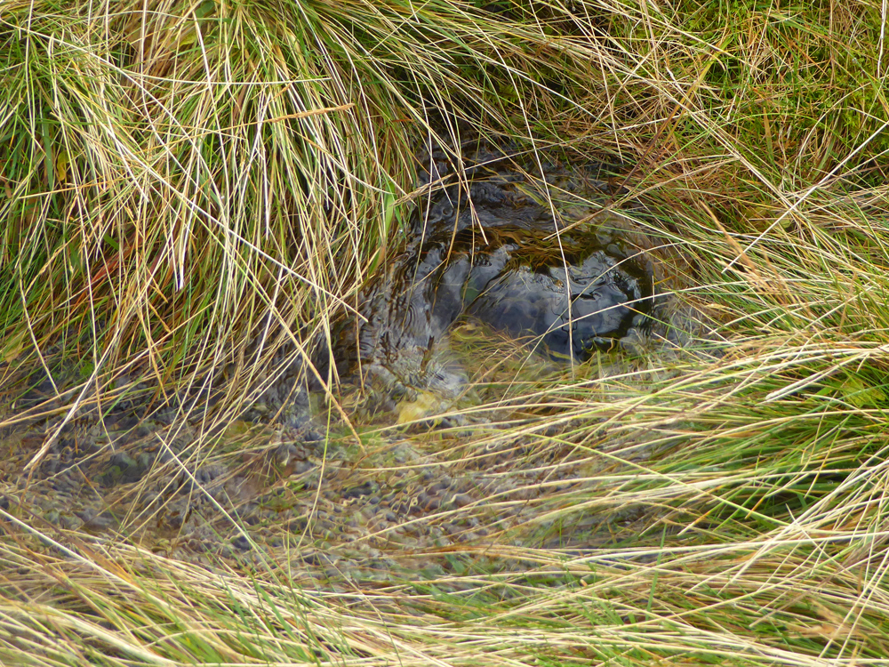
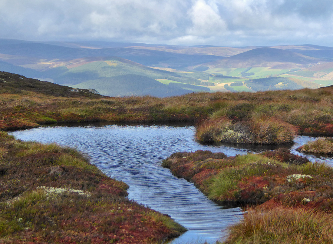
At the bottom I can hear, but not see, multiple rivulets burbling through the long grass, and careful steps are needed to not plunge a foot under into one of the hidden pools. There’s been a lot of rain recently; this would probably be fine in summer. This is where the Water of Carvie forms before running into the Don, 4 miles away.
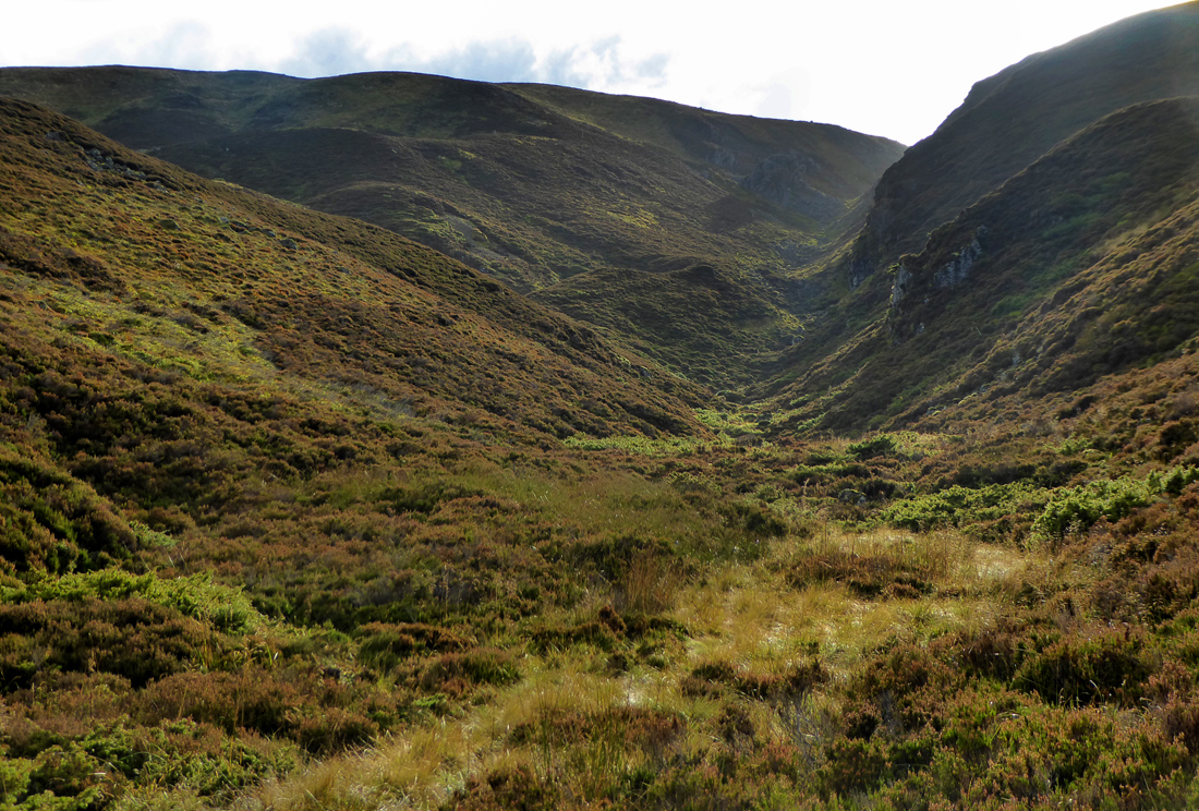
Reaching the first outcrops of rocks gives a better measure; it should be a fine scramble, large boulders and gaps, all quite overgrown covered in moss, the odd small pool. Doesn’t look like folk (or animals) go through here regularly, as no sign of a trail as such, I guess most folk will just see the top bits while passing en route from Morven, and not venture down over the edge.
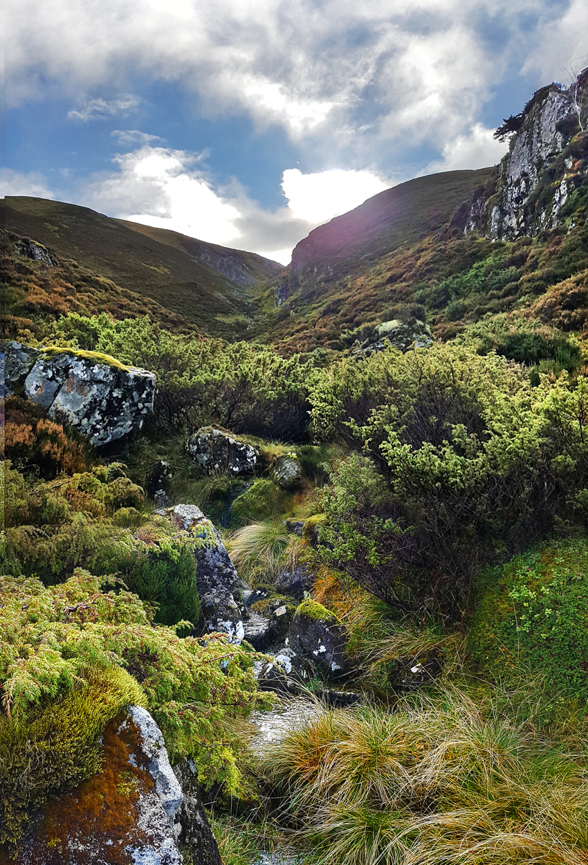
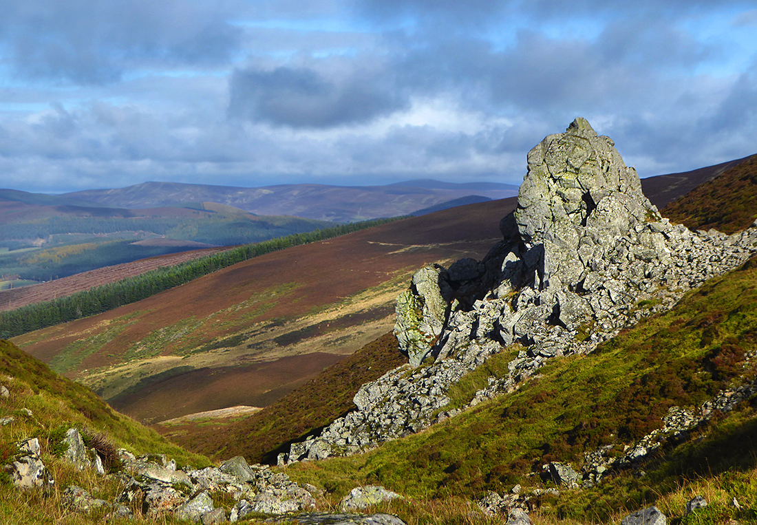
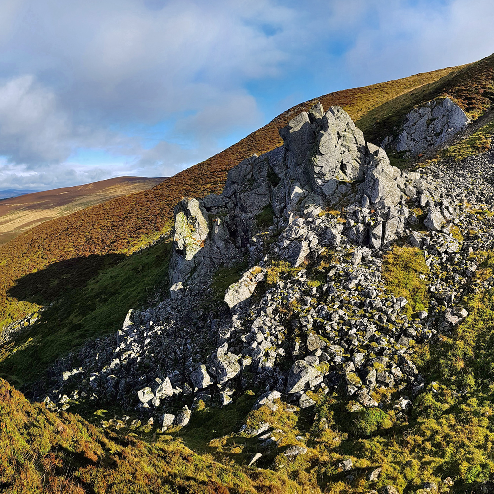
On the East side, ‘Castle wilson’ a prominent outcrop, comes into view, apparently the lair of a freebooter of the name. Further investigation later indicates talk of a cave, and tales of illicit whisky, one to try and find next time. A low autumn sun shines straight down, making me squint and the camera struggle, but a fine view presents itself back down to the North. [Revisited in December 2024 and found the ‘cave’]
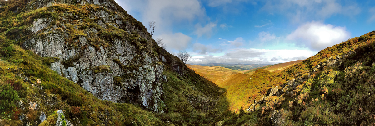

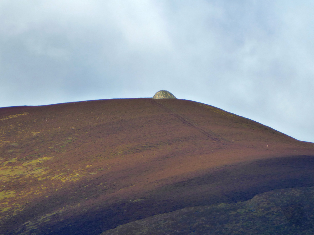
The gully levels off, concluding a scramble ascending 130m over about 1k. Climbing up the sides to head towards Mona Gowan (“Goat moor”) a nice panorama opens to the South

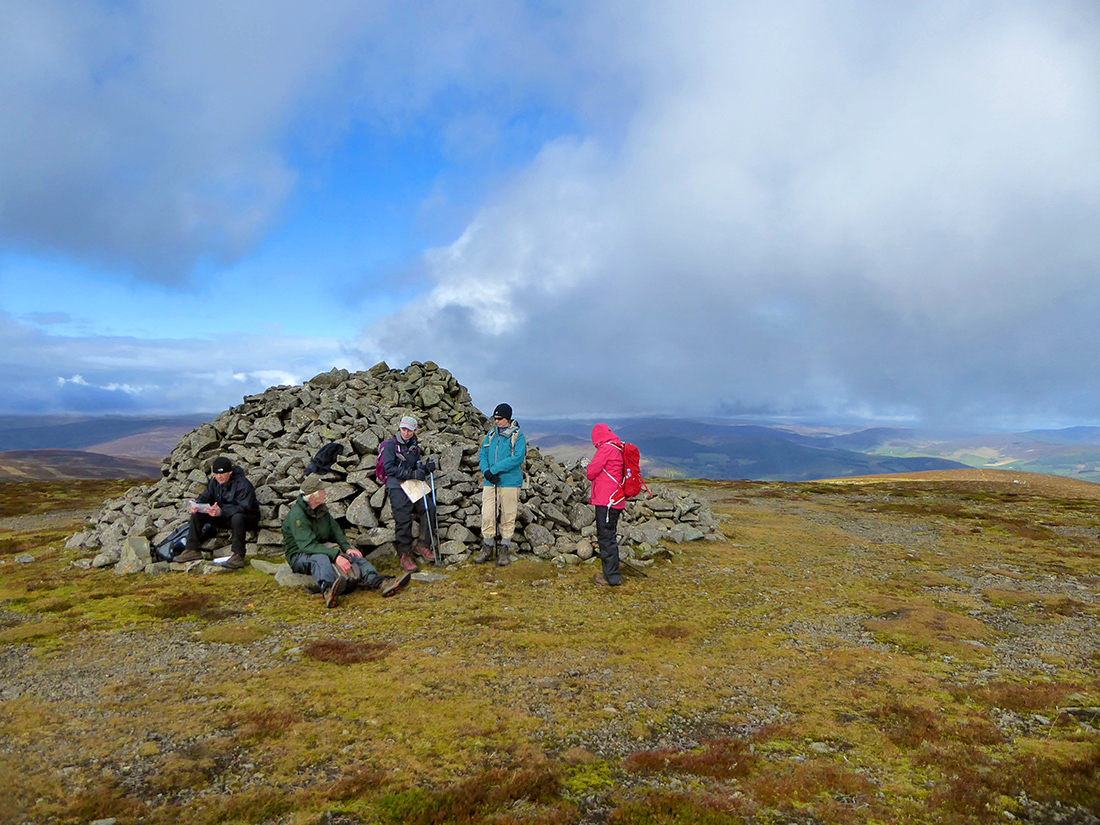
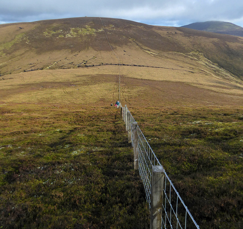
There’s the trace of a track following old fence posts, I make good time and the cairn comes into view over the brow, helpfully surrounded by the rest of the gang having lunch, eliminating any need to for me to ponder if they were ahead or behind. The cairn was raised in 1887 to mark Queen Victoria’s golden jubilee.
We head West off the top, there’s a path on the opposite hillside
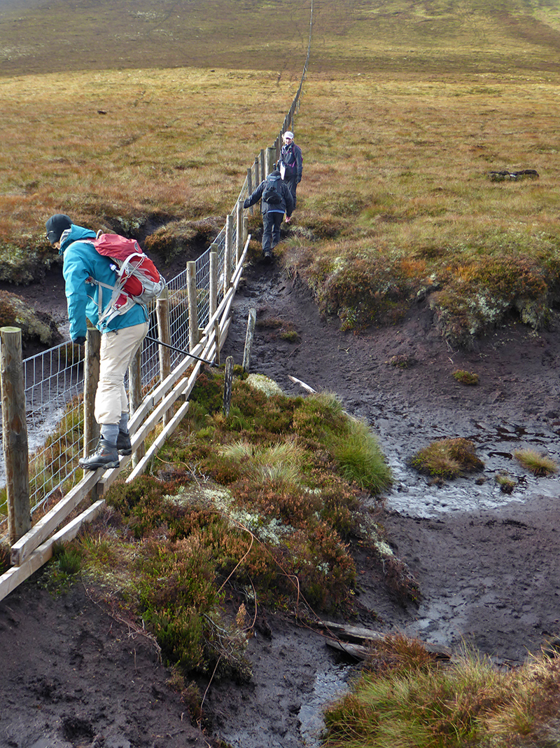
But first a fairly new fence provides a bridge over the swamp

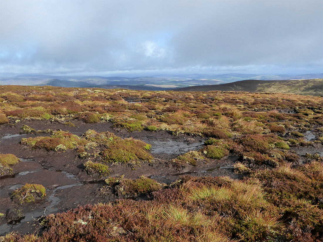
The top of Cairnagour hill has a lot of peat hags making passage not straightforward. The plan being to rejoin the track at The Socach to the North
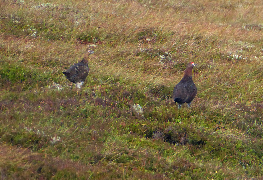
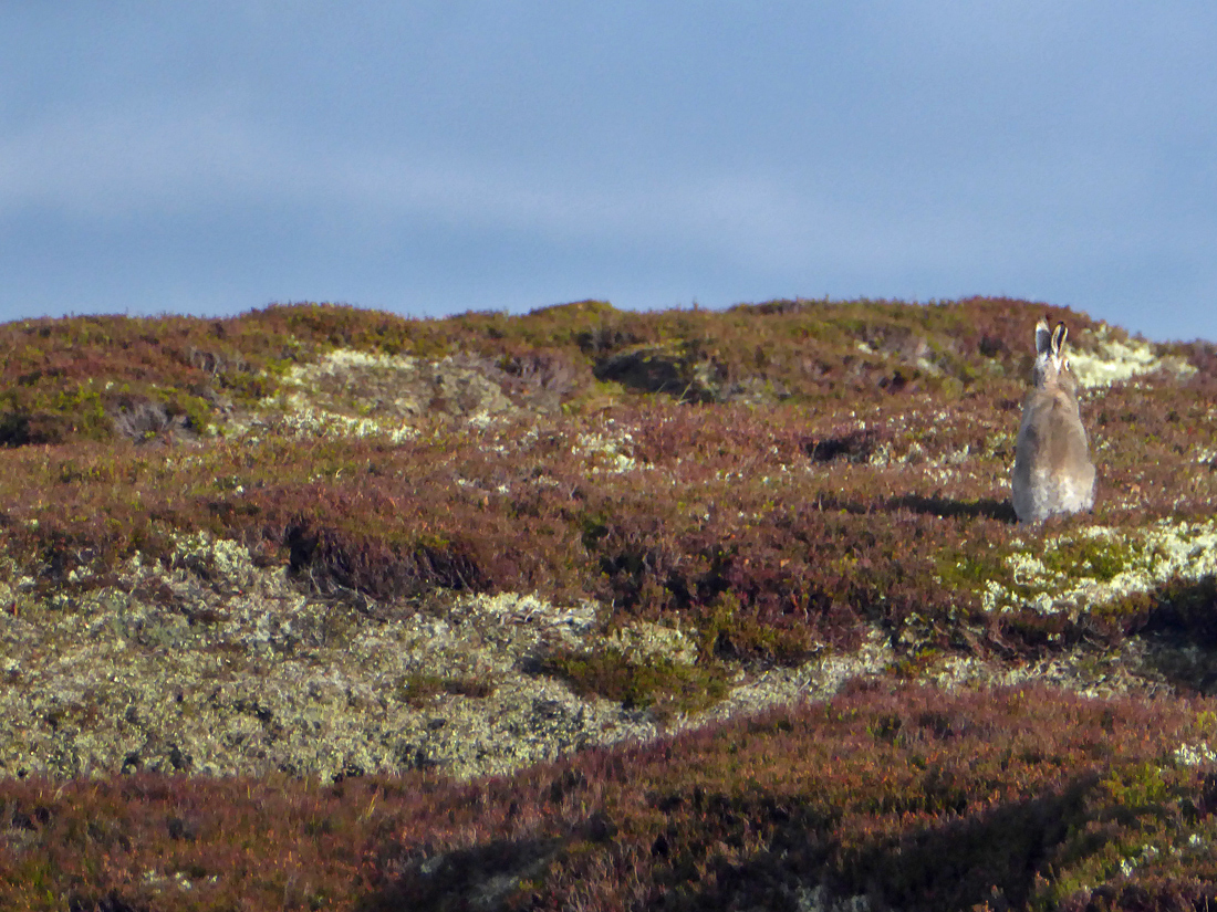
Quite a few hares here, despite the surrounding estate being very ‘trappy’ (pretty much every streamlet and nook has some chunk of sprung and rusty death metal cached)
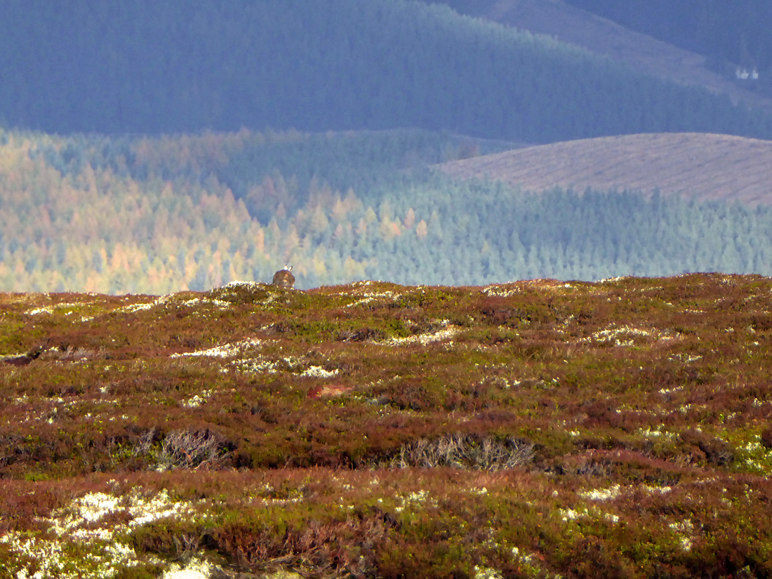
They won’t stay still for a photo though..
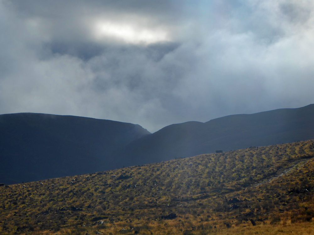
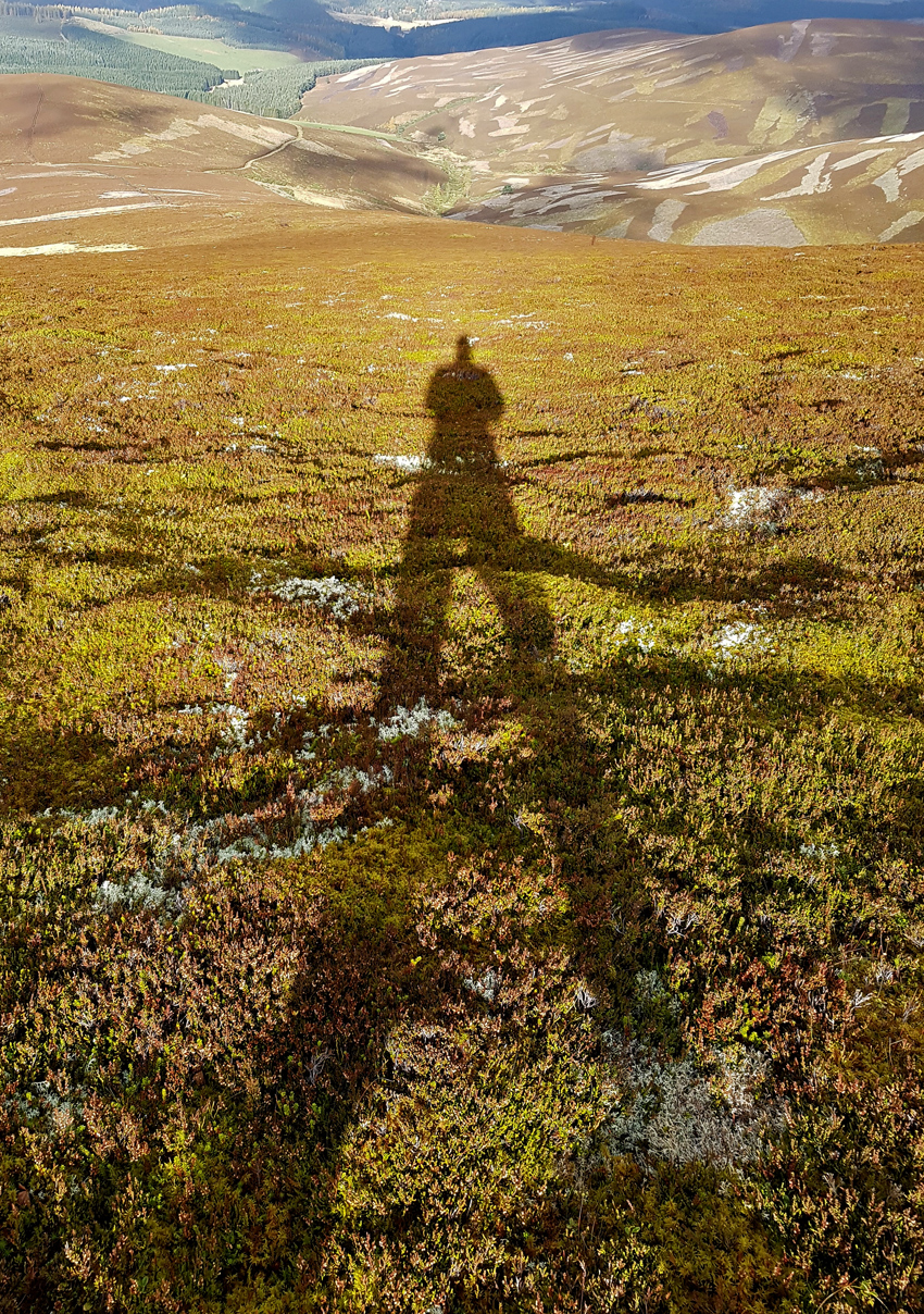
The low sun cast some long shadows down the long slopes. I imagine one could get a really good sledge down here
A track eventually appears and joins another of better surface

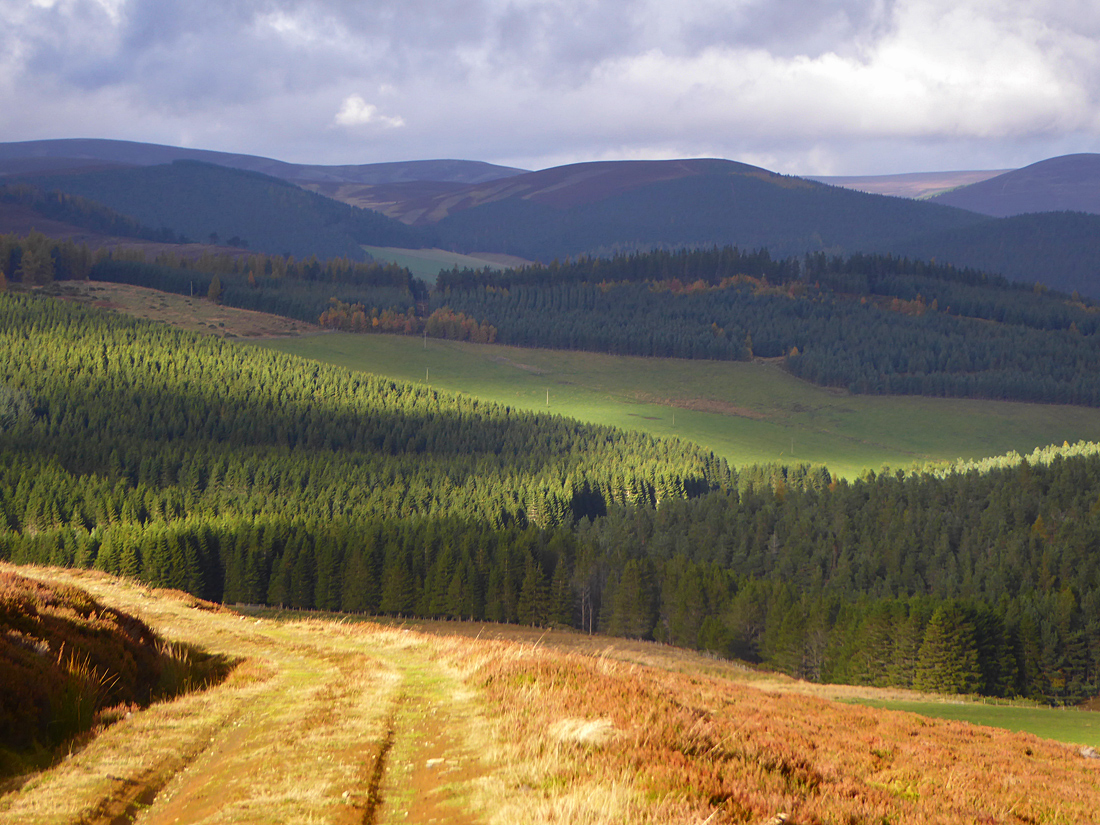
The track down Glen More meanders through muir burn tinted by Autumn
Perhaps sheep or deer shelter under this lone tree and have worn this path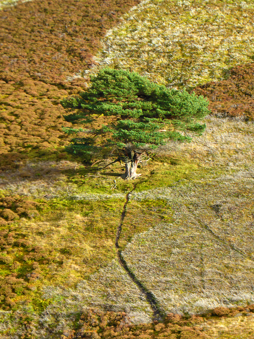


Turning North East off the moor and back through woods
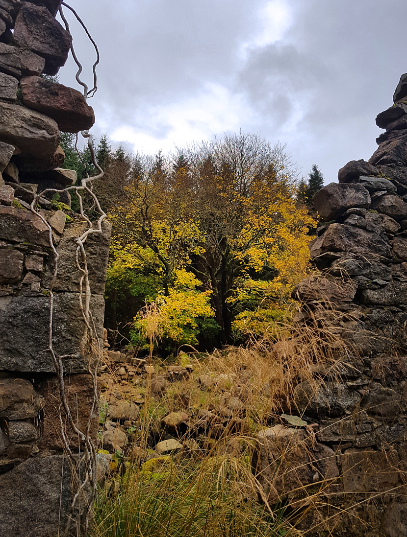
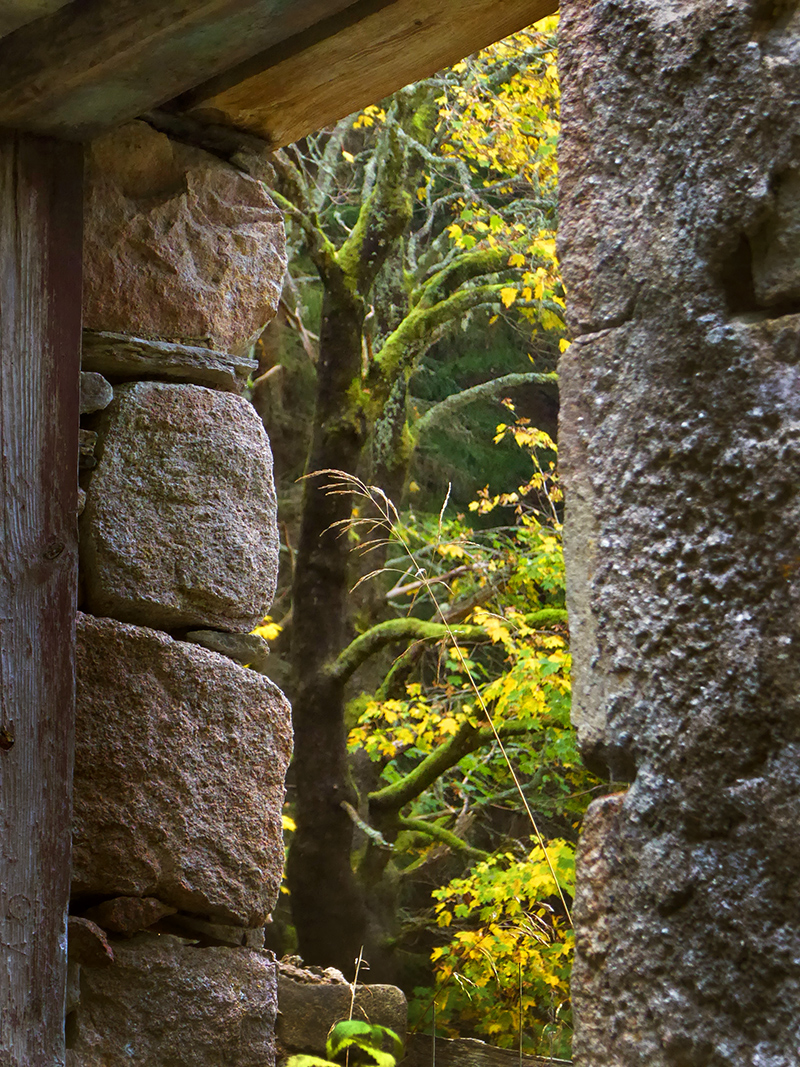
Approaching the ford, you can see ruins through a gap in the trees to the West, and can get to them with a quick loup o’er a narrow part of the burn.

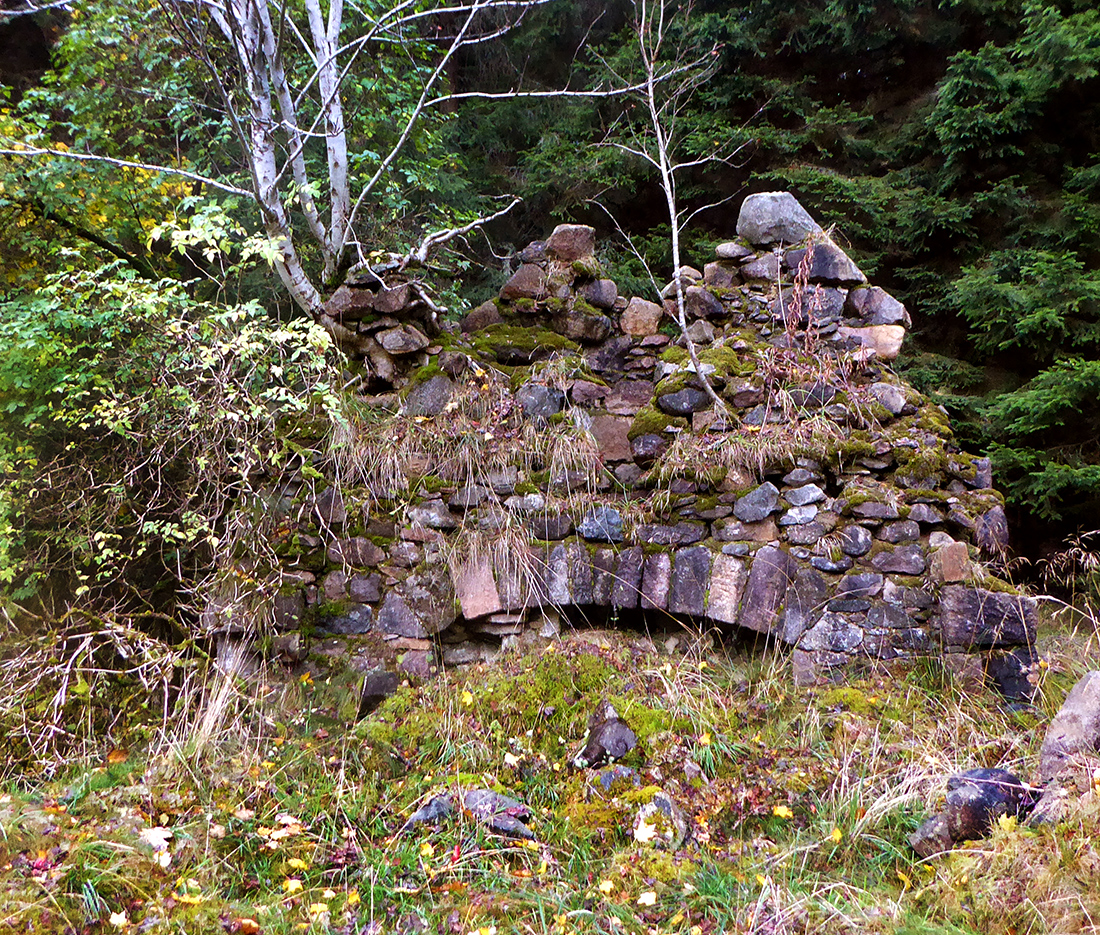
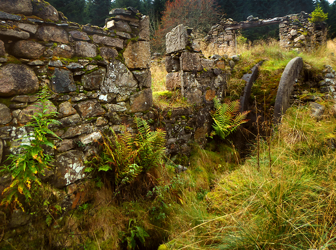
This is Lynemore farmstead, a cluster of old ruined buildings (there’s another Lynemore to the East that is still alive)
Surrounded by plantation, its long decay now hidden from view and memory; what would have once been a cosy hive of country industry now embraced only by time, nature and silence

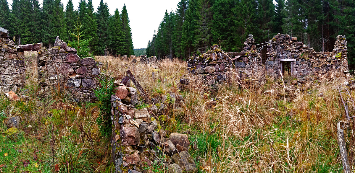
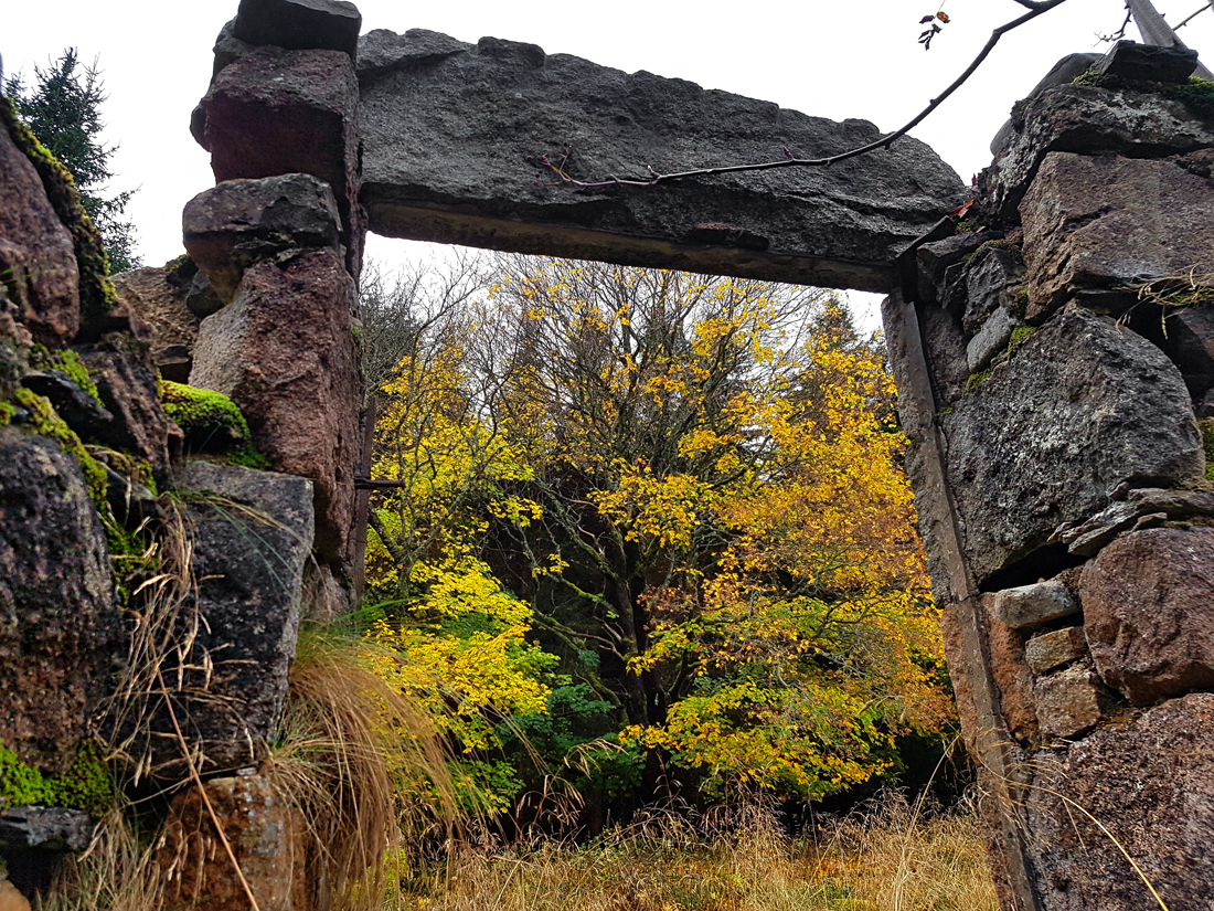
Doorways, fireplaces and inner snugs now share water and wind with the waterwheel and walls
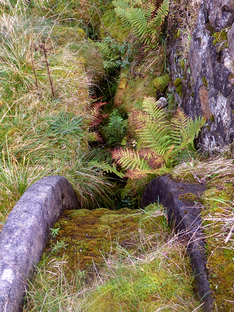
The spell of centuries past is broken by the sounds of now; our party passing, barely filtering through the trees, and I leave the ruins to await the next curious visitor, maybe many a year hence
Rather than taking the direct route along the road, we follow a path into the woods at Rinnafennach; this passes briefly right beside a cottage and we think twice about intruding but no sign of life we quickly pass through
A lushly grassy track to the rear no longer sees much human transit
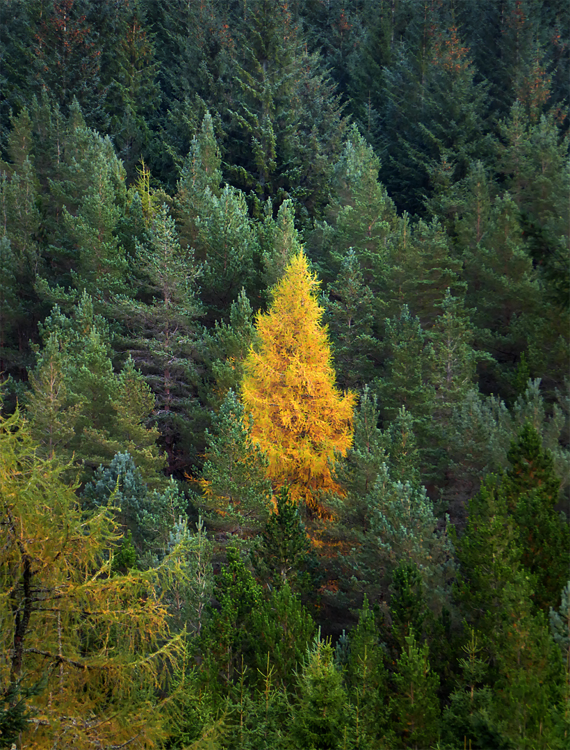
Passing more trees in their seasonal splendour

We rejoin the forest fireroad and are back at the chariot ahead of schedule