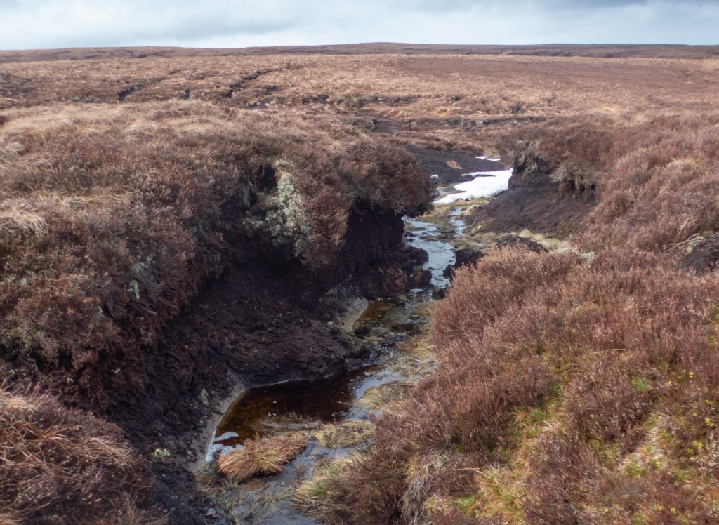
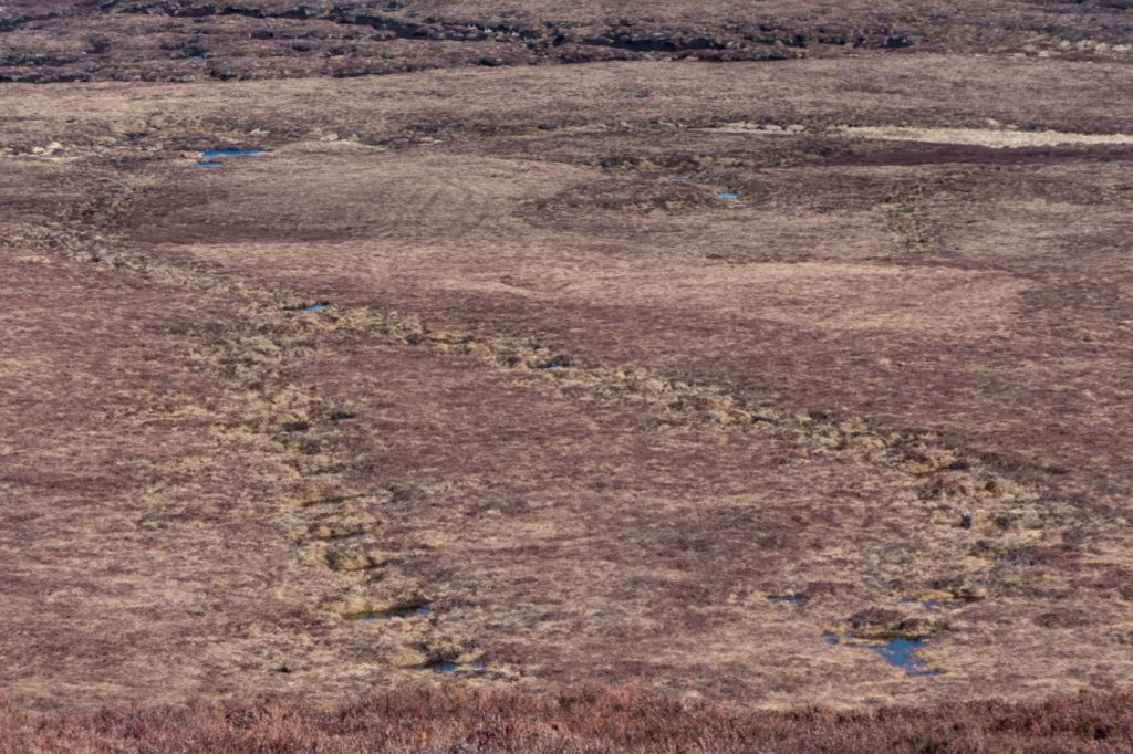
I recall being out west of Mount Keen before – a large fractured plateau of peat hags, with the odd gully of interest, but by all accounts not somewhere you’d go without a very good reason, as a north and south ascent of the hill both have their charms and an obvious path ahead making for easier arrival.
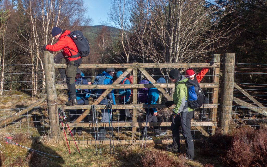
I’d raised an eyebrow when somebody had suggested this approach for a club trip – pretty sure they’d not been there before, and neither would they go and recce it. I had my doubts about the suitability for dragging a group through the muddy maze. Anyway, better to go out and burn calories and maintain fitness than have a lazy Sunday at home. We got off to a disjointed start with Aultonrea in Glen Muick off bounds apparently due to a “deer farm” (although I think it’s just a gamekeeper who doesn’t want public around, an impression reinforced by a number of locked gates nearby)
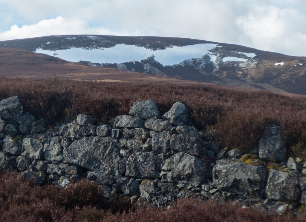
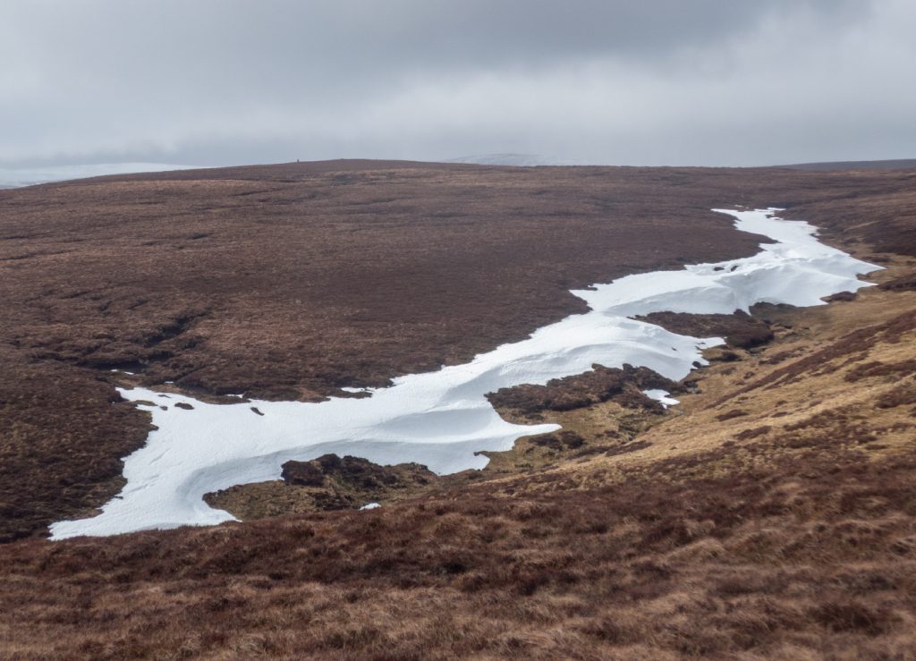
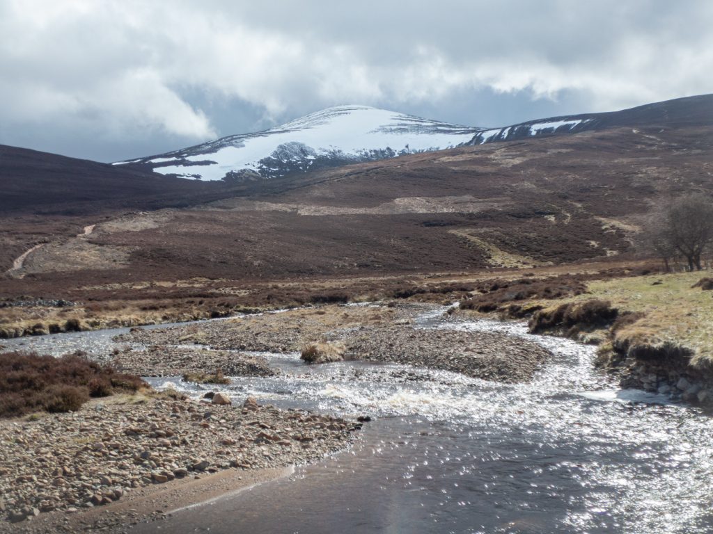
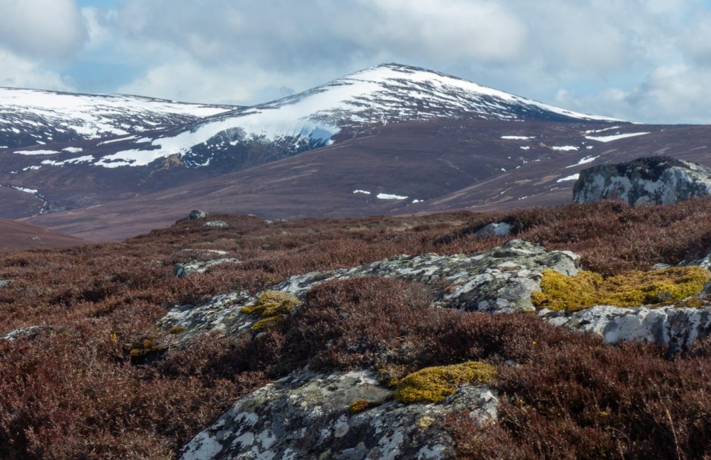
As we made our way up a stiff climb to Cairn Hillock, the wind was already blustering wildly, and the first snow patches were visible on lower hillsides – nobody in the party had taken any snow gear, the organiser not bothering to mention this possibility, and the attendants clearly confused by spring urban weather thinking winter was done. I knew fine there was both old snow patches and a fair dump of new snow (this very site having a guide to discerning such things) so had my axe and crampons.
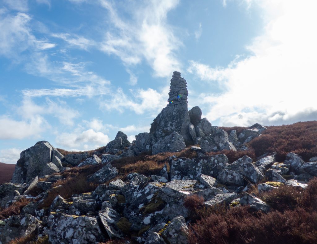
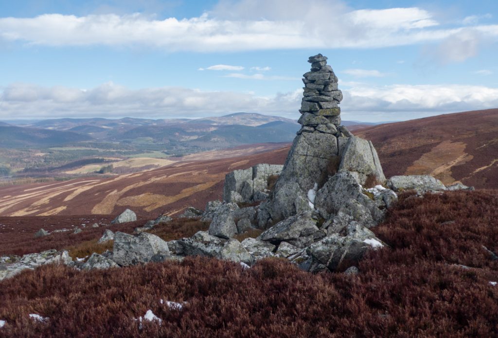
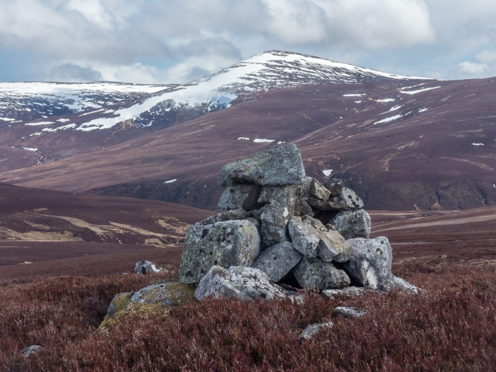
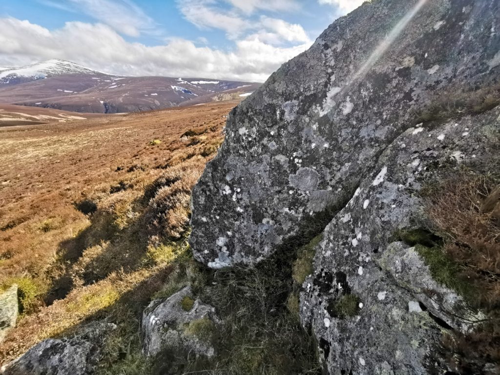
Round about the 650m mark just as the gradient begins to soften, the skyline was pierced by a point – an impressively columnar cairn, not at the top but on overwatch to the Muick valley, and probably rarely seen or visited by those traversing the ridge above.
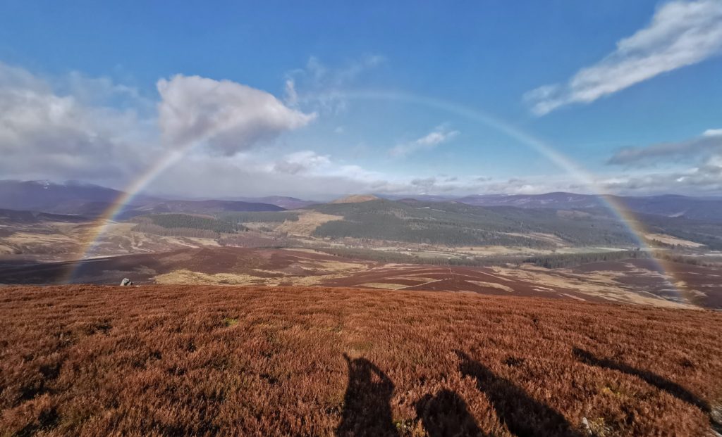
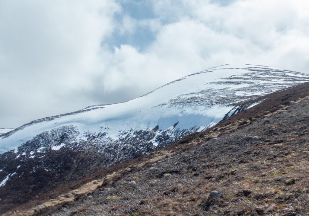
On to the plateau, and half the group, already winded from the steep start, made a sensible decision to abandon the main target and instead walk the good track along a ridge of hillocks towards Ballater rather than fight the wind, bogs, and then snow – the peak now being clearly clad in white to the surprise of the group. Aye well, told you’s. What’s the old saying? “Dinna cast a cloot until May is oot” to which I’d add “dinna leave yer spikes when the peaks are still white”
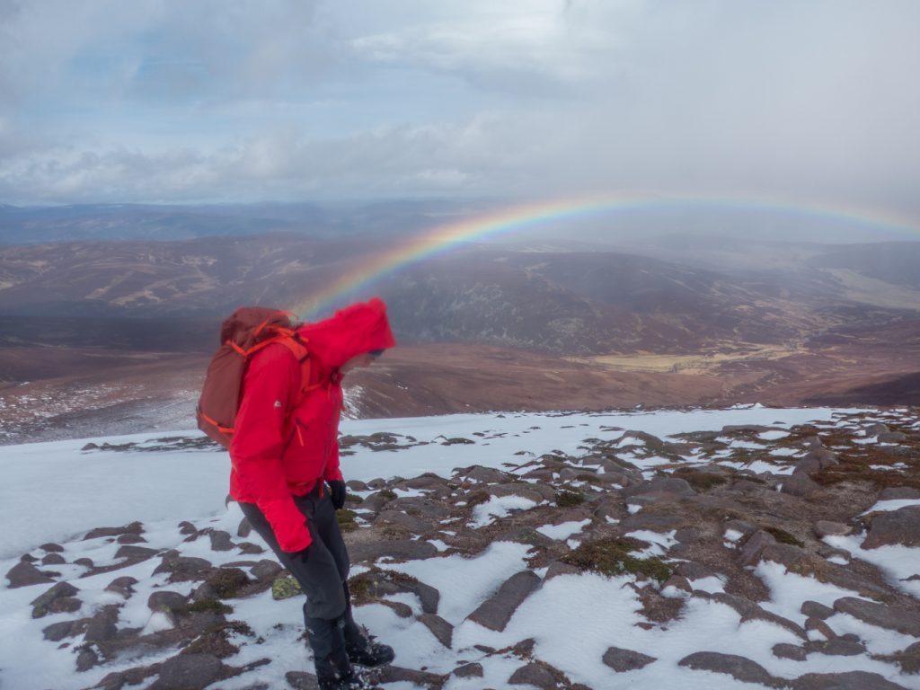
The leader for today was a stomper – marching on relentlessly but not paying much attention to the group, and I eventually reined him in and encouraged a stop when crossing a bit of a gully as it was much shelter as we’d get for the next few hours, and I suspected o the mountain itself it would be extremely spicy. We were burning through energy working the rough ground and the persistent up and down of peat hags. Ahead, was the steep side of the mountain covered in snow and lashed by the storm. There has to be stops for folk to get some food down, as most don’t have snacks to hand that they can access without stopping
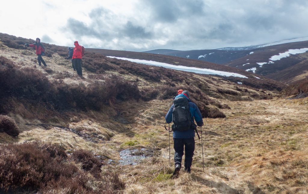
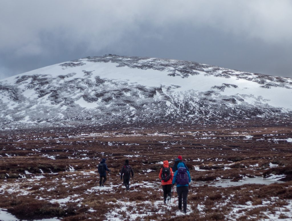
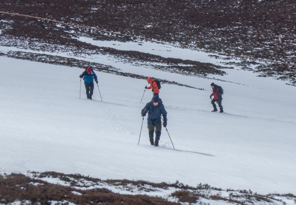
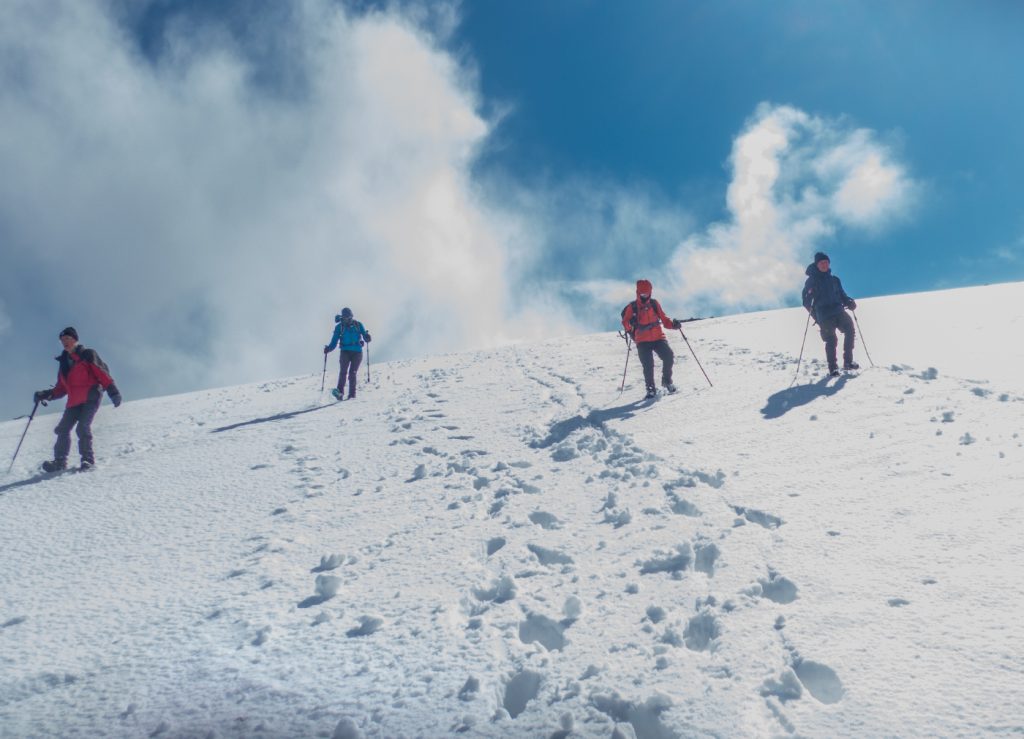
It had taken us longer than expected to reach the foot of the mountain, and there was a question of whether we’d have time to do it, plus with everybody else having no kit, whether it’d be safe unless diverting to the windward south side which was probably scoured. I’d noted the narrowest part of the snow field and volunteered – I’ll head up, test the snow and signal back down – 2 arms horizontal – no go, hard and will need crampons; 2 arms above head – soft and kickable and no imminent danger of a long slide. On to the patch and I kicked steps easily encountering no hard underlayer like I had the previous weekend (where there’d be have been no chance without metal). Arms aloft, the throng below hummed n hawed then began to ascend. For sure it would have been a shame to have suffered the miles of bog and failed the top when so close.
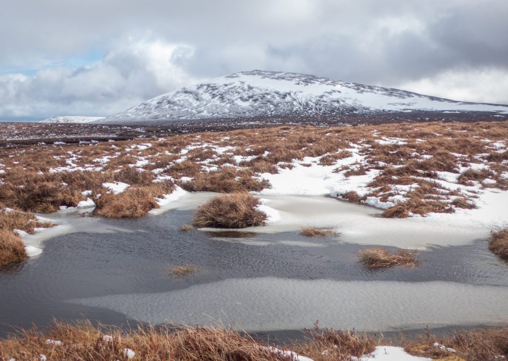
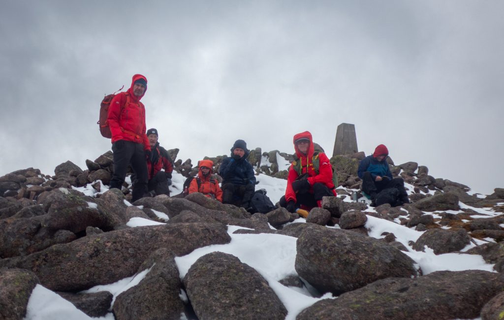
Once above the snow patch the summit area was screaming with wind and lashed by stinging blown ice, snow cover mostly stripped. It was no place to stop and after regrouping it was straight to the descent.
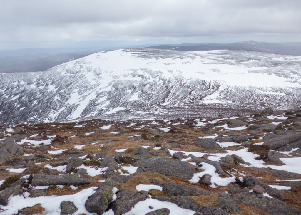
The lee side of course is where the stripped snow ends up and we were soon on to a steepening convex snow patch that I knew tips down into the corrie. As the snow was fresh, there was not much chance of a slide though the blustering wind was doing its best to push us over. Everybody made it down to the edge of the snowline ok, helped by most having poles for balance.
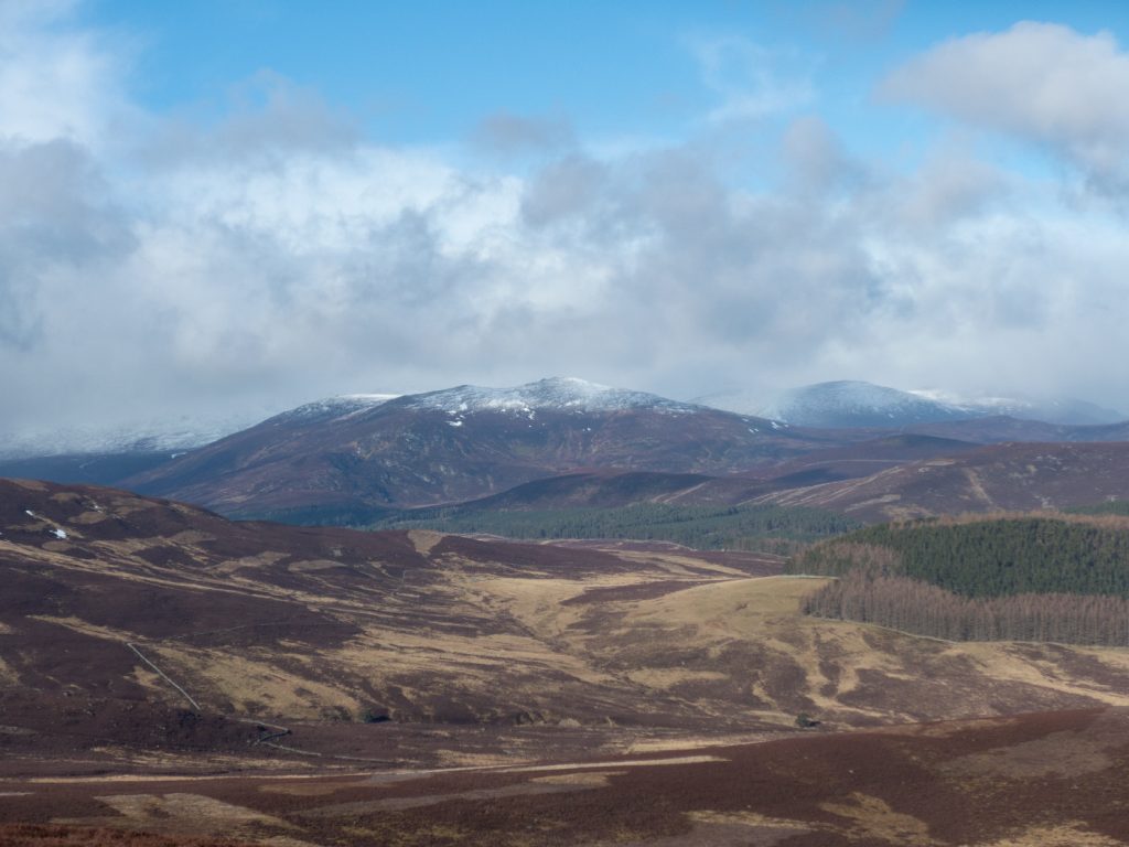
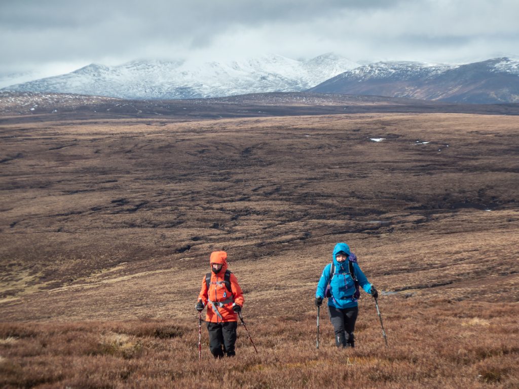
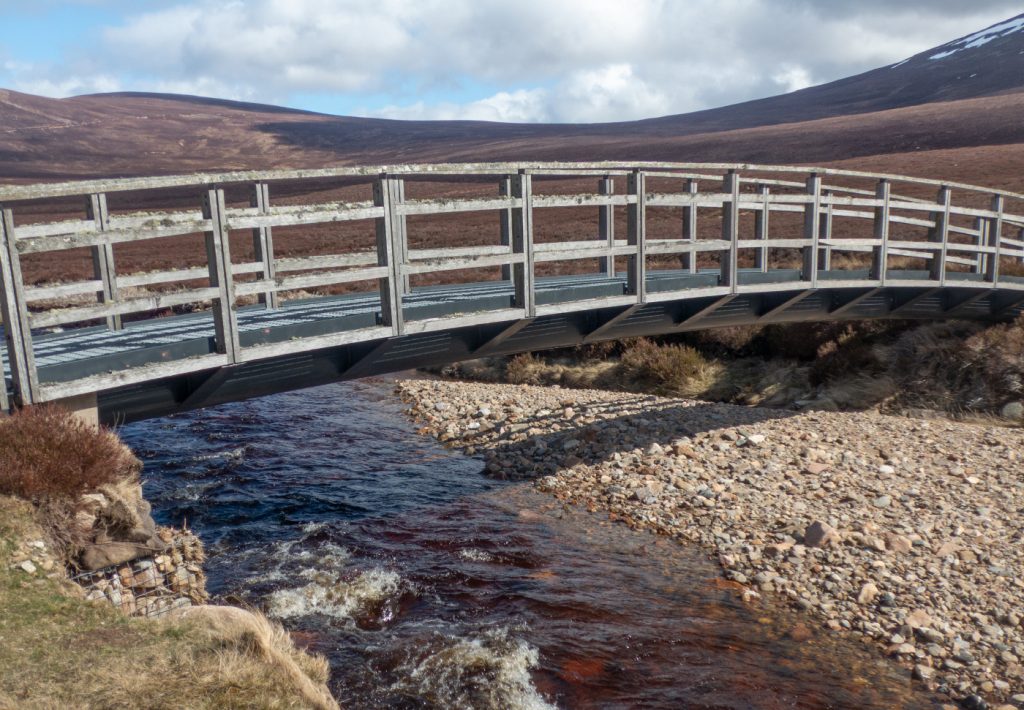
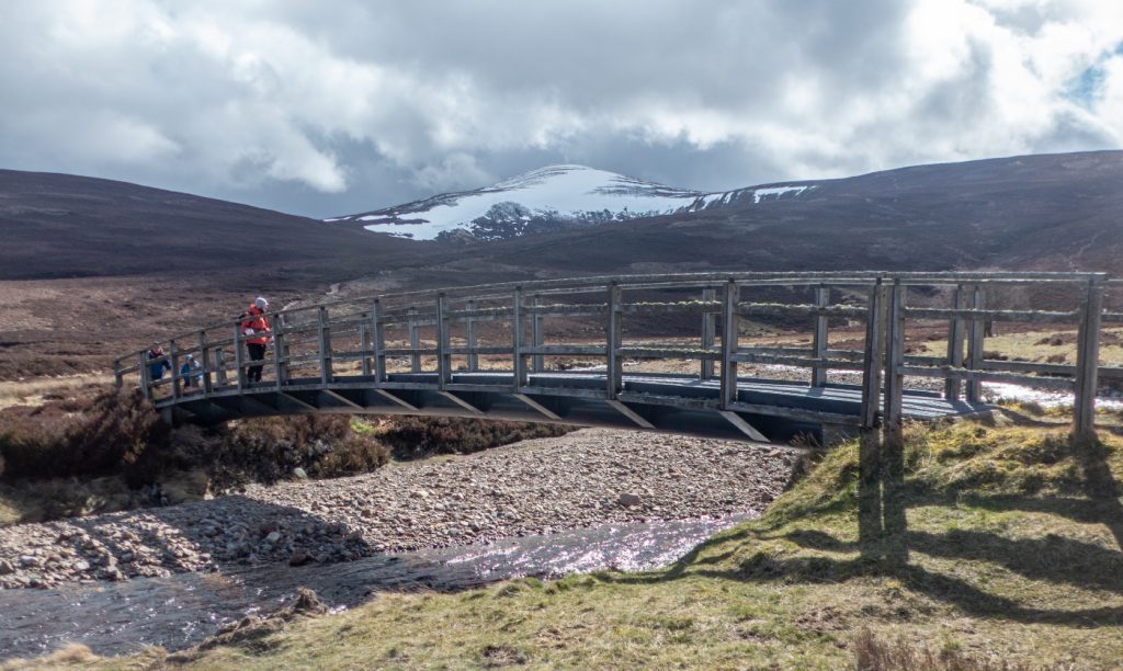
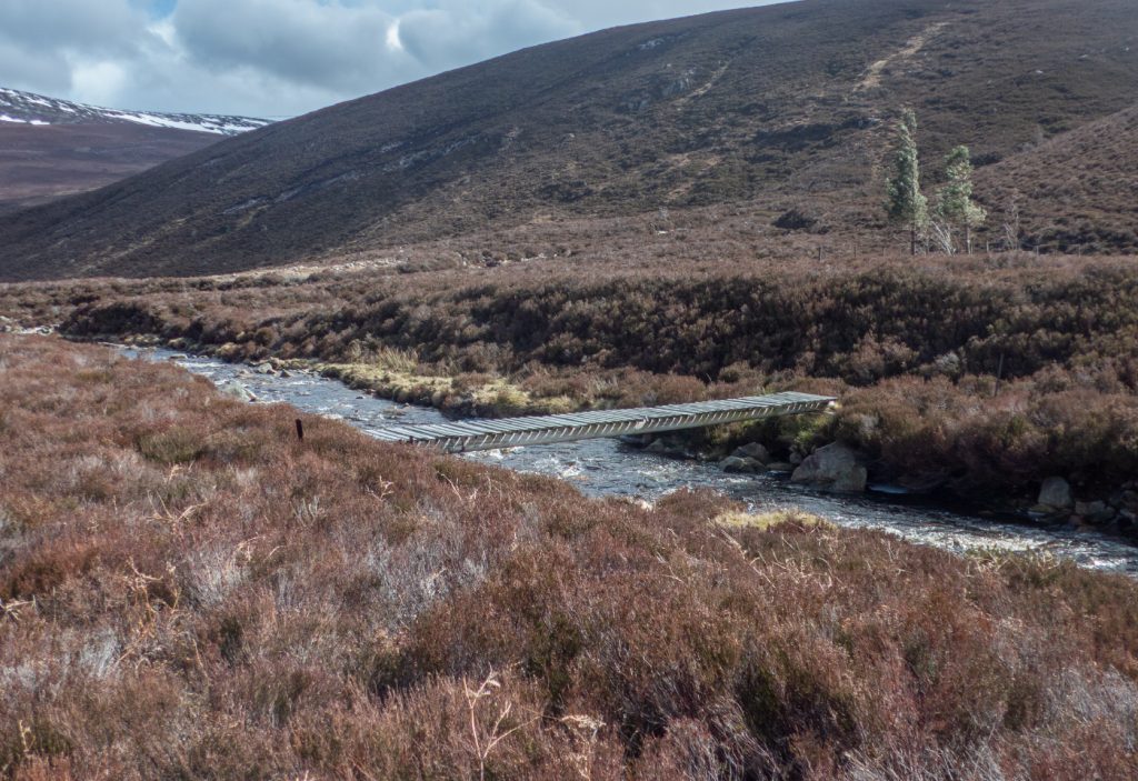
We continued to stride downwards waiting for the wind to abate some before finding a sunny perch for another break. The original plan was discussed – to return to where we started, and decided to go down fully to Glen Tanar and then up and over the mounth path towards Bridge of Muick, which although would have another wind lashing in store, would be pathed all the way.
I’d wanted to head past Quartz Cliff and have a look at a ruin I’d passed that way, but the wind and hags had drained enthusiasm for much more off-trail thrashing. I concocted another route with some – but mostly tracks, and tick off some other points of interest.
I split from the group to head west to the Linn of Tanar, and make my way to a track heading up to the ridge. Although still windy it seemed a good bit warmer and I had to delayer once the good track to the linn ended and I was thrunging again on rough ground.
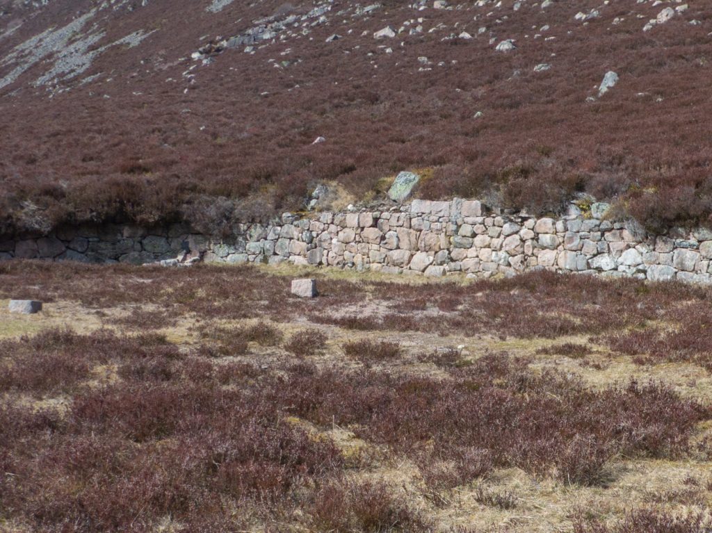
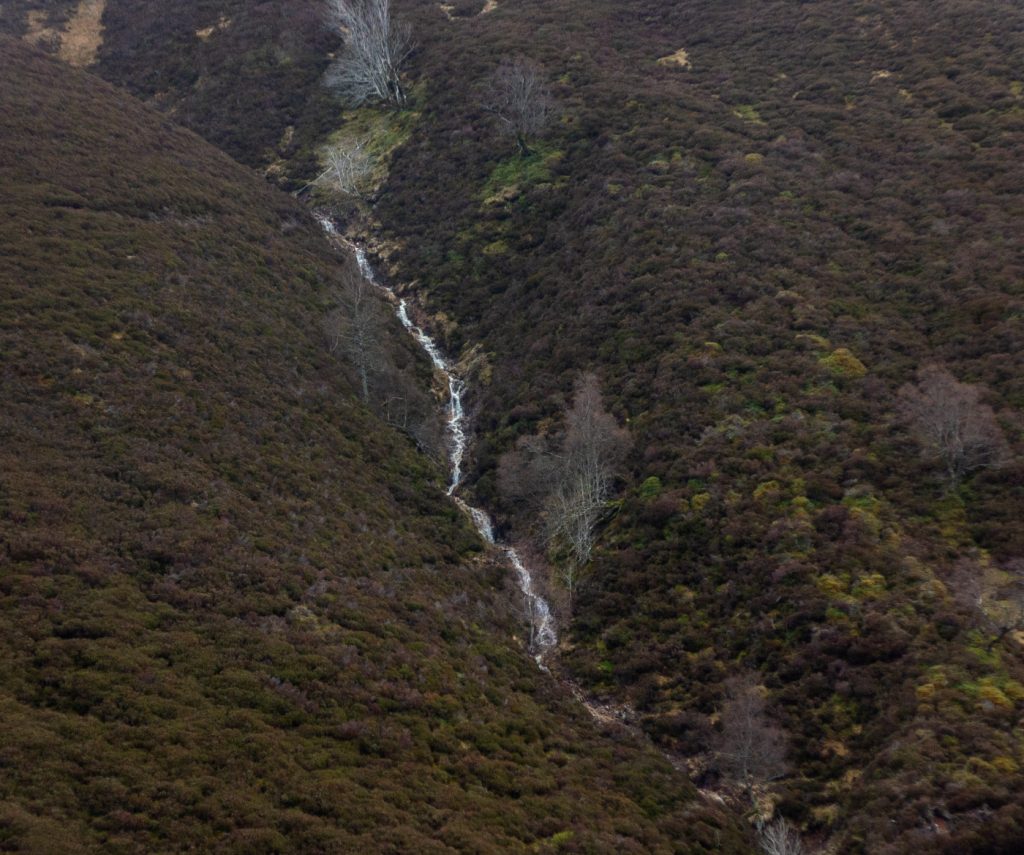
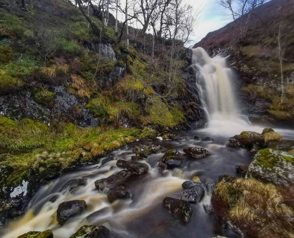
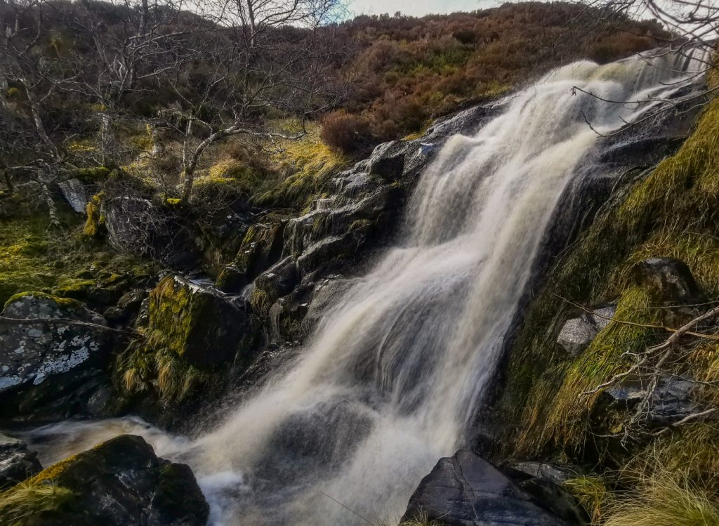
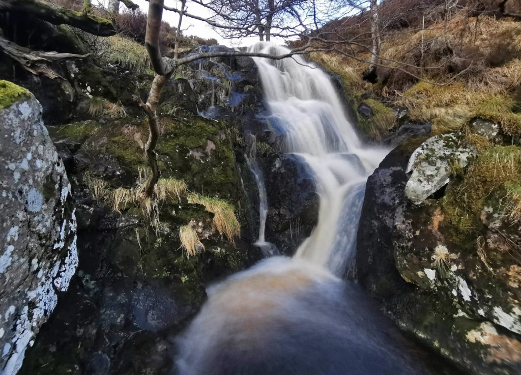
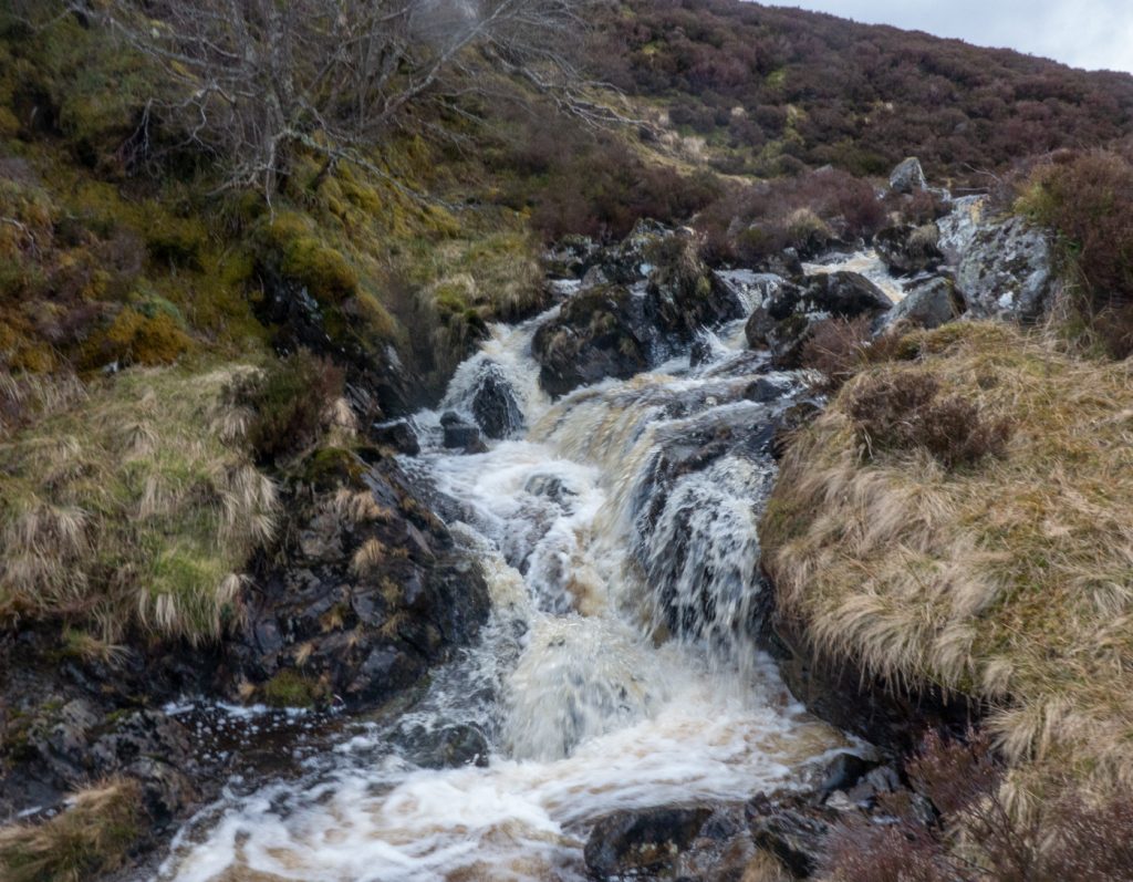
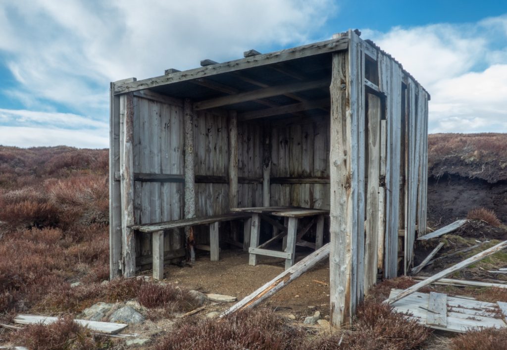
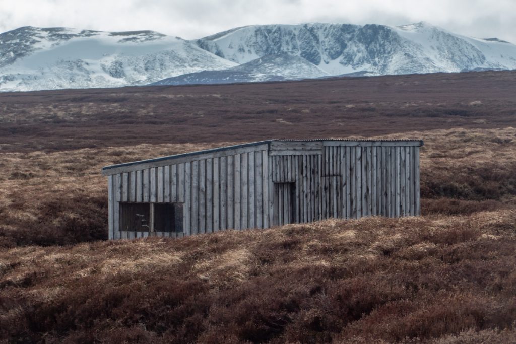
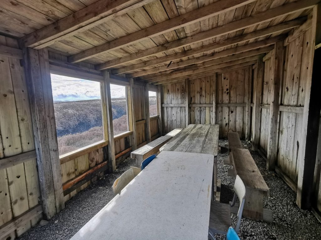
I checked out a couple falls on the side stream above the Linn, then decided to follow the upper river, which proved tricky in places constrained by rocks and steep heather, but a short enough interlude and back onto a landrover track heading for Am Mullach. Giving it laldy with the poles I was soon up to the ridge and took a short diversion to cut a corner heading for some huts I’d seen on aerial maps, being interested to see of they were suitable as shelters for a ski overnighter. Scanning around the moor I though they’d maybe gone, but getting closer were tucked away in some peat hags. One was a ruin on its last legs, but another was in good shape.
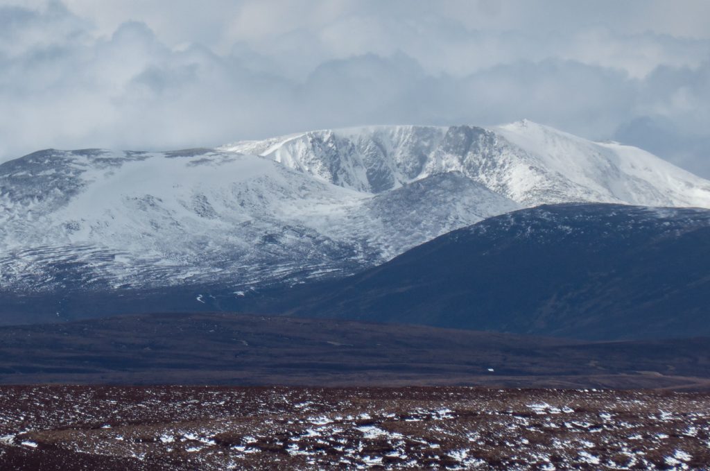
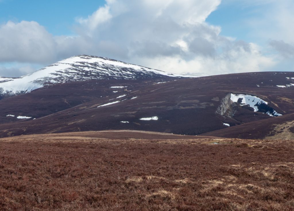
Now I was back heading east to Ballater with one last thing to explore on route. I could also now get a good view of the Quartz Cliff I’d not made it to.
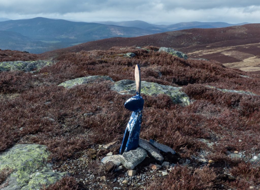
The landrover track winds along the ridge, in places I could see a faint runnel taking a more direct route across some of the slight rises, and follwoing them at the expense of some feet of ascent, rewarded with rocky nooks and cairns.
I’d read about the “sentry box” in a club journal – a “stone shelter” but the given coordinates revealed nothing amongst the rocky outcrop, a few nooks sheltered from wind but nothing roofed or cave-like that might be described as a howff. Later aerial photography inspection showed some more rocky outcrops in the area so one for another day, time to try and catch the main group who’d had a shorter route to the end.
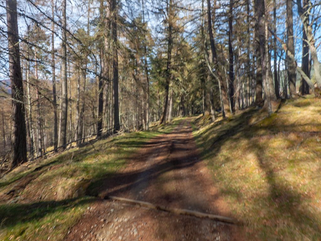
They’d taken another break in the hut at (now looking a bit battered too with various holes in the woodwork) allowing me to catch them on the descent. Fianlly into the larch woods towards Balintober, the winds were defeated and it was almost a nice spring day. With a fair distance underfoot (mine being 26km) we were glad that the last mile or two back to Ballater were saved by a timely coach interception as it returned from Glen Muick. Within minutes we were alighting in Ballater, thirsty for cold ales and hungry for the chipper.