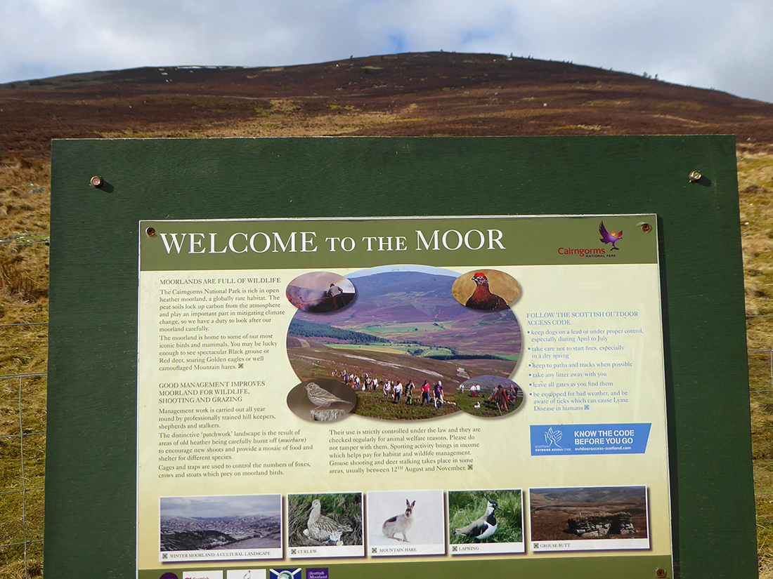
First day out in Spring 2017 is to Morven, a corbett north of Ballater. Low lying cloud and forecast looks good as we head through the back roads towards Balhennie. Doesn’t look like I’ll be battling storms and drifts today for a change 
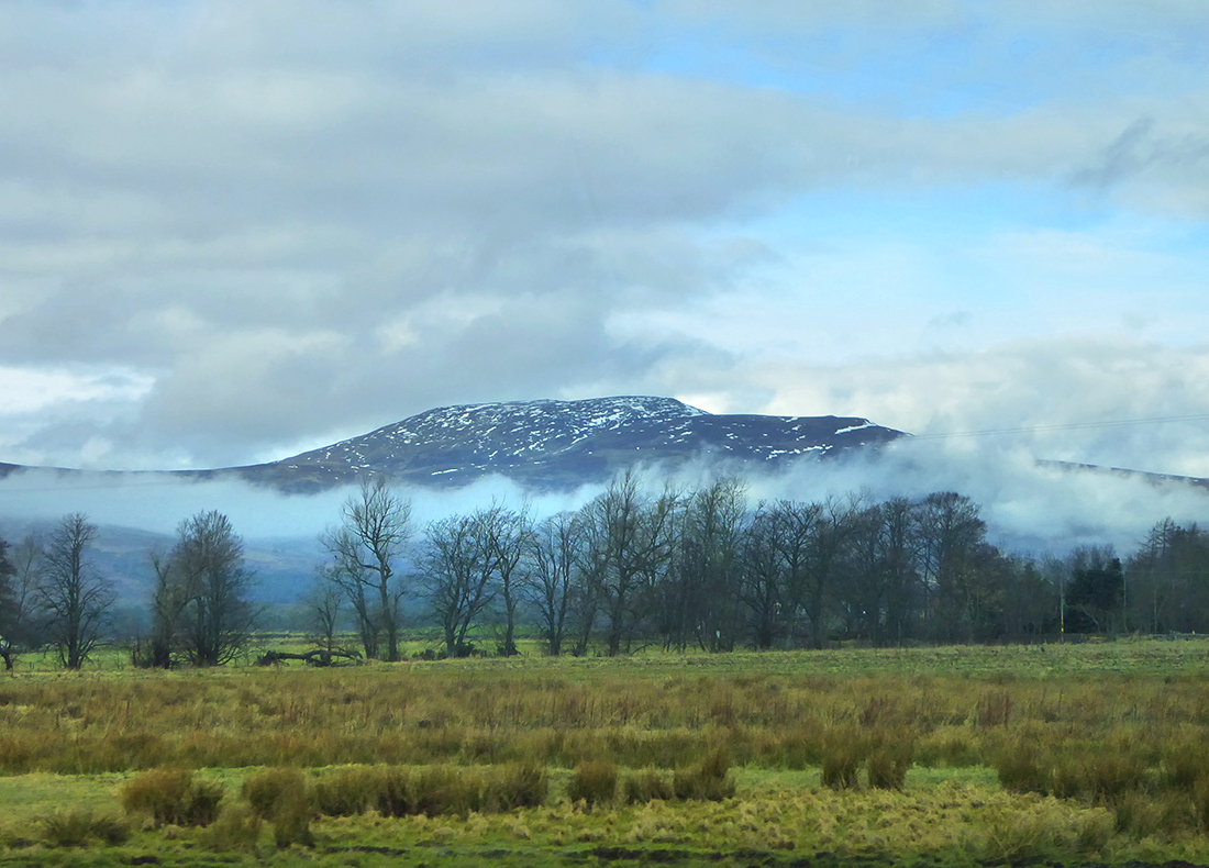
Parking up beside Groddie Burn the hills are buried in cloud but hopefully the Sun will burn through
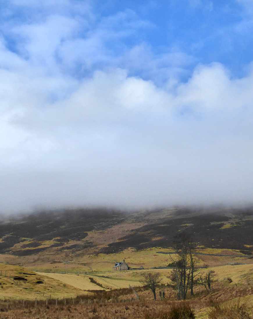

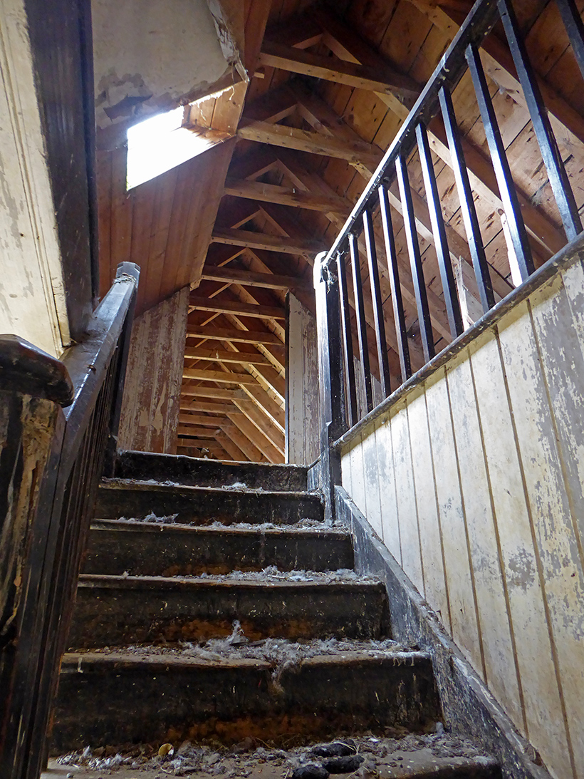
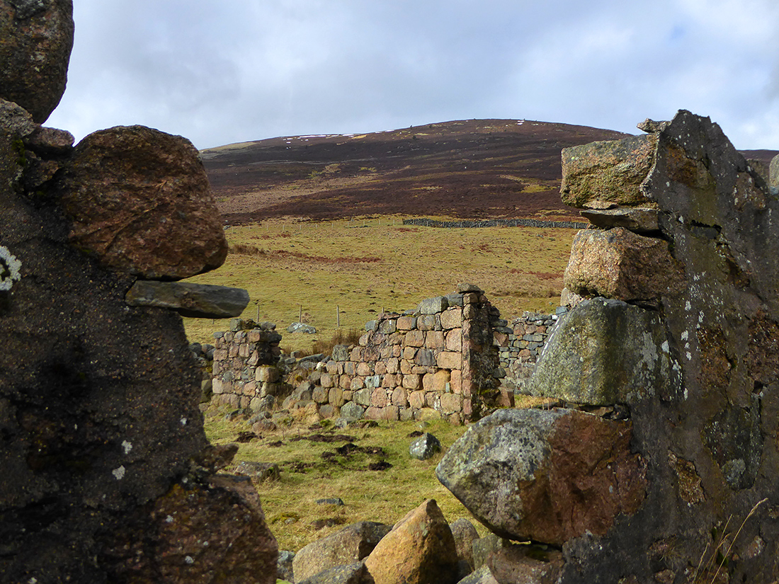
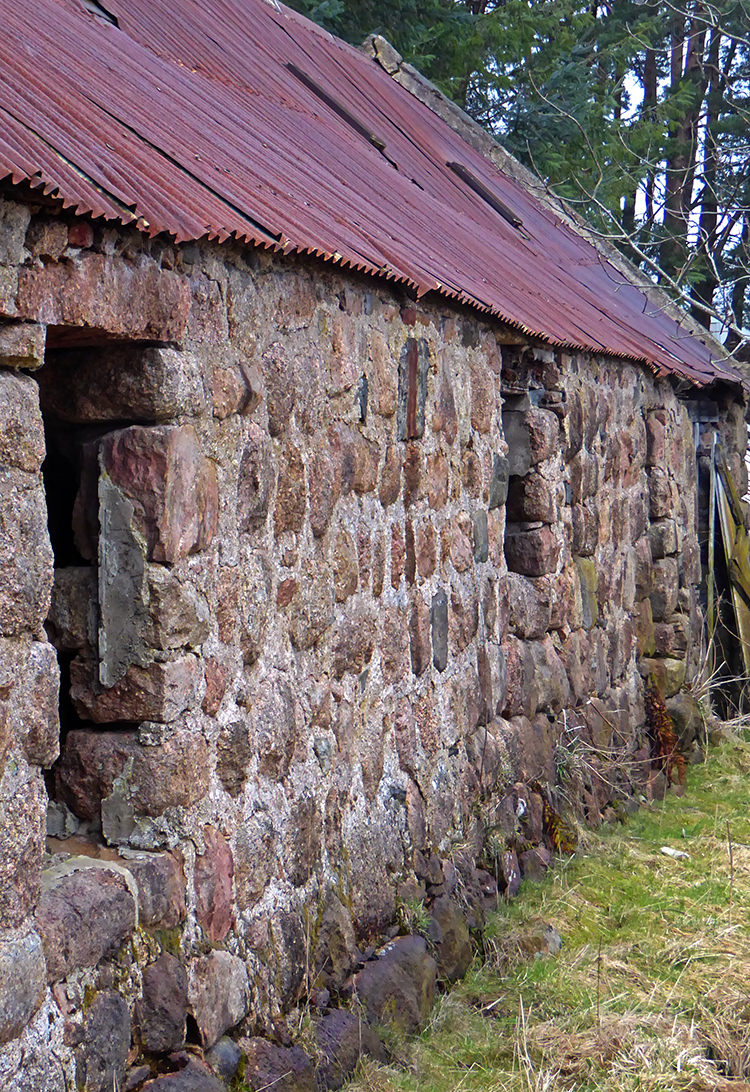
The path crosses some fields and goes past an abandoned cottage. Only the moles call this home now
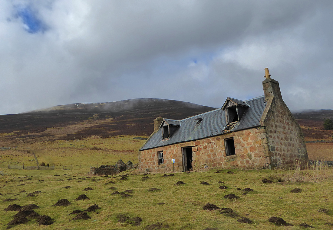
There’s a warning sign to not enter; the front wall teeters inwards like it has suffered a large impact
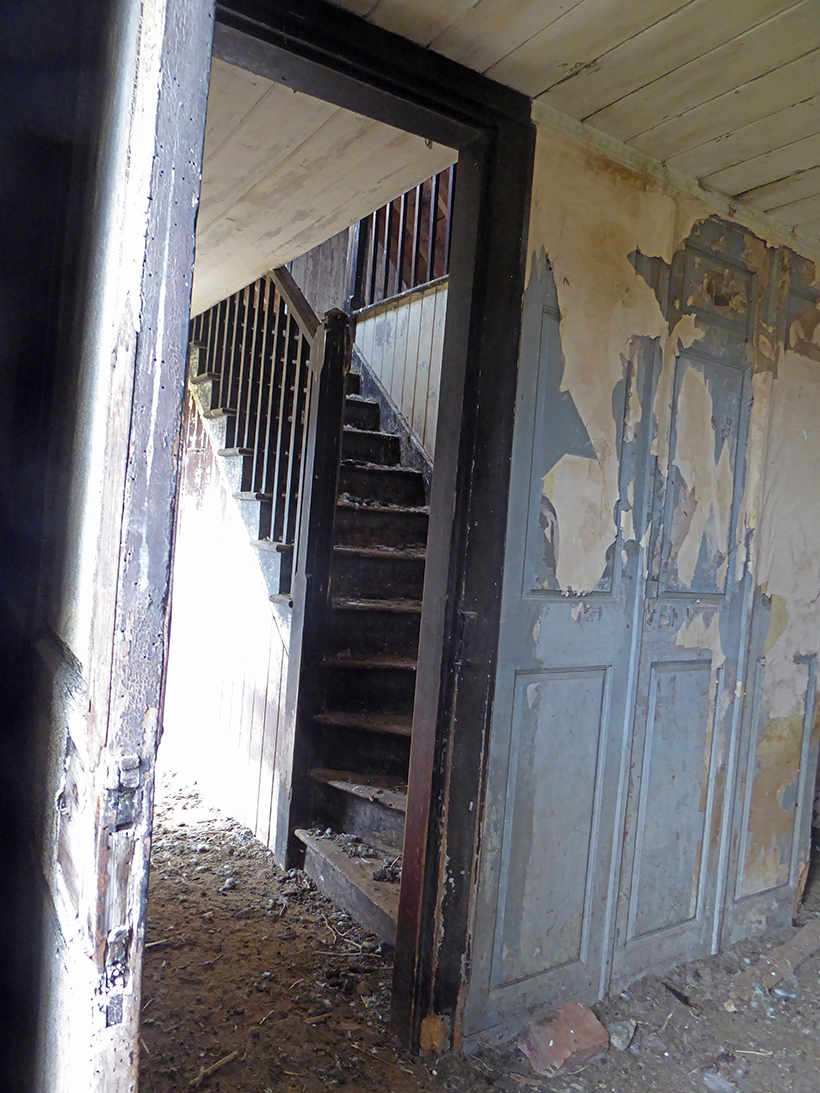
A very brief peak anyway. A shame a building in such a fine location has been left to ruin
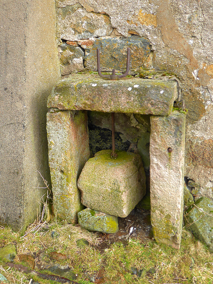
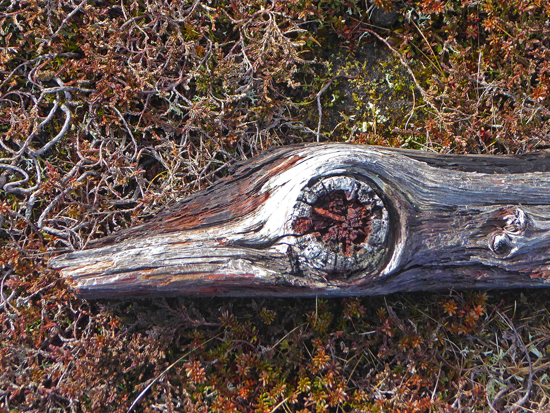
One wall outside houses some simple old cranking device, now retired to rust
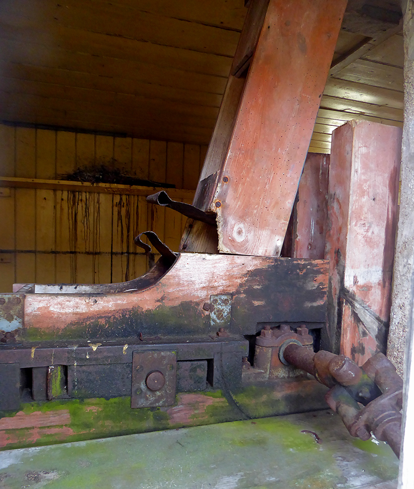
Round the back another contraption
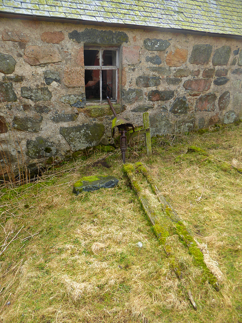
I guess a tractor perhaps parked here and connected to this unknown thing that preferred a life indoors
Also round the back are older ruins. The foot of Morven has broken plans over ages
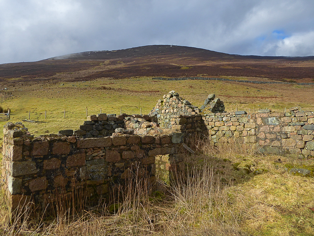

A handy stone makes a good bench

Bones amongst the heather and rubble

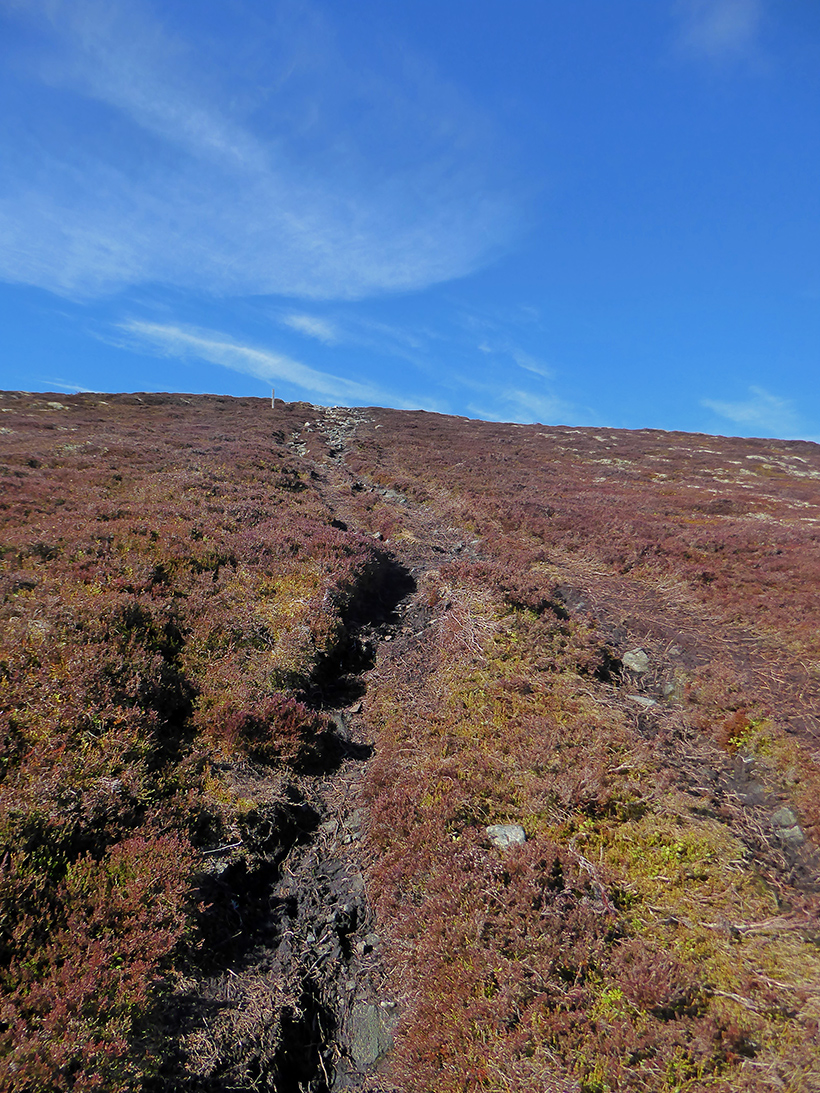
The path quickly steepens. There’s about 300m of ascent within 1km, it’s all good single track though
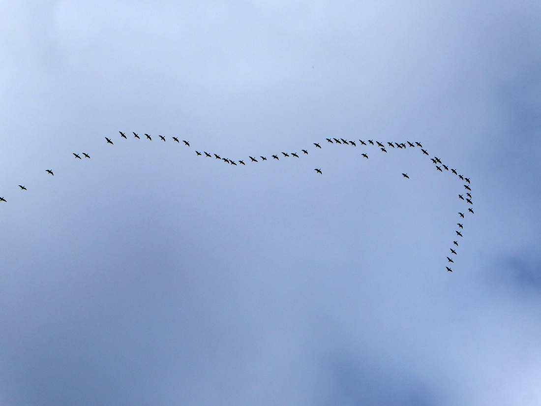
Aerial peloton heading North
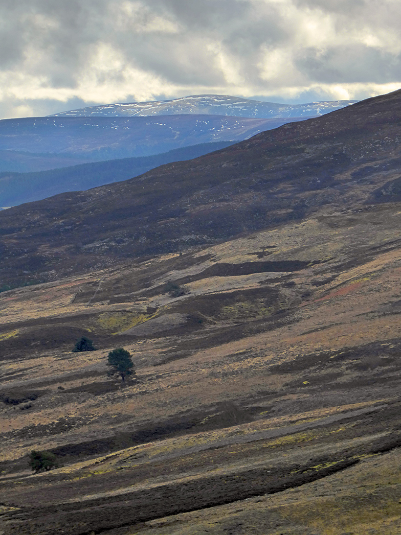
Getting a bit rockier. I can glimpse one of the lochs beneath Culblean Hill
Zooming in. A bit far North to get a view of it

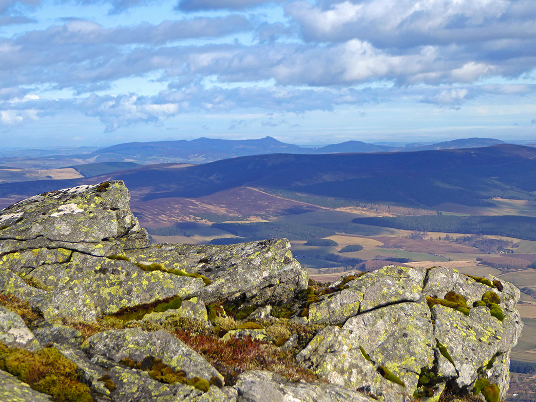
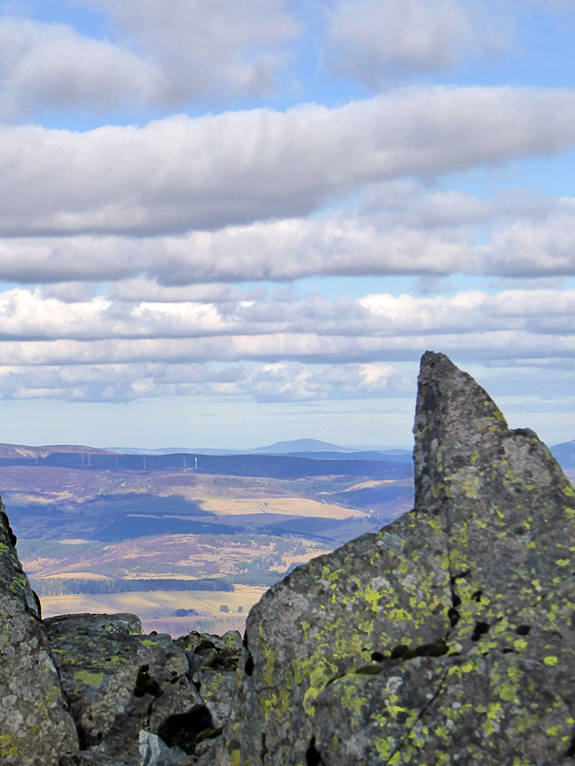
Clachnaben in the distance
Skirting the gully of Coinlach burn
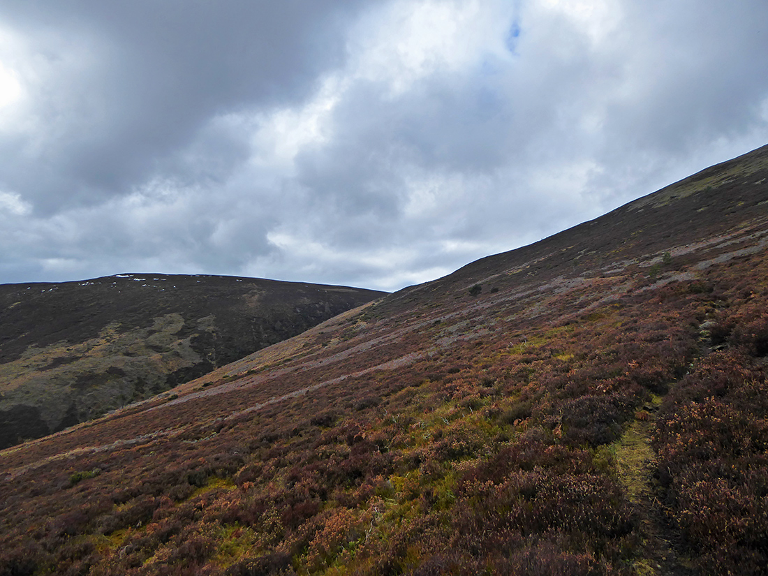
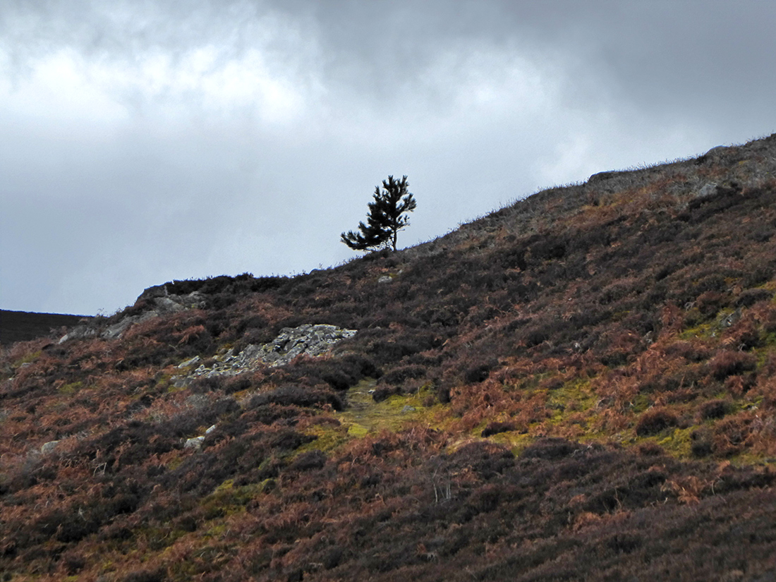
Lower down there’s still some bushes and sparse trees

In the shrubs and heather there’s a surprising amount of tweeting, managed to snap one fidgety bird, think this is a stonechat

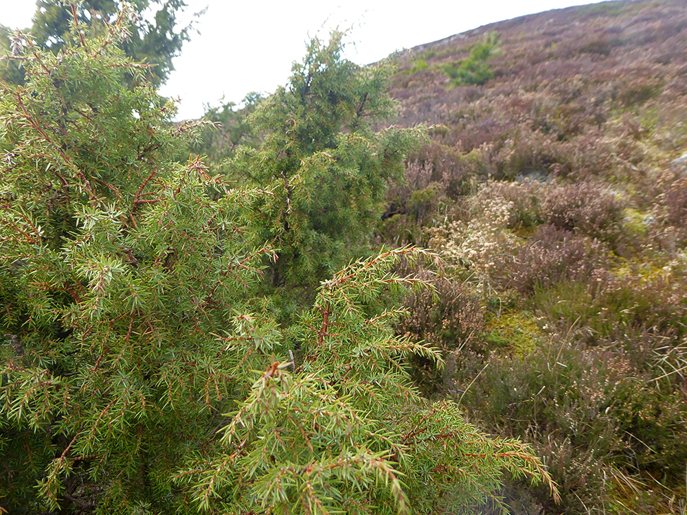
There’s loads of juniper around here
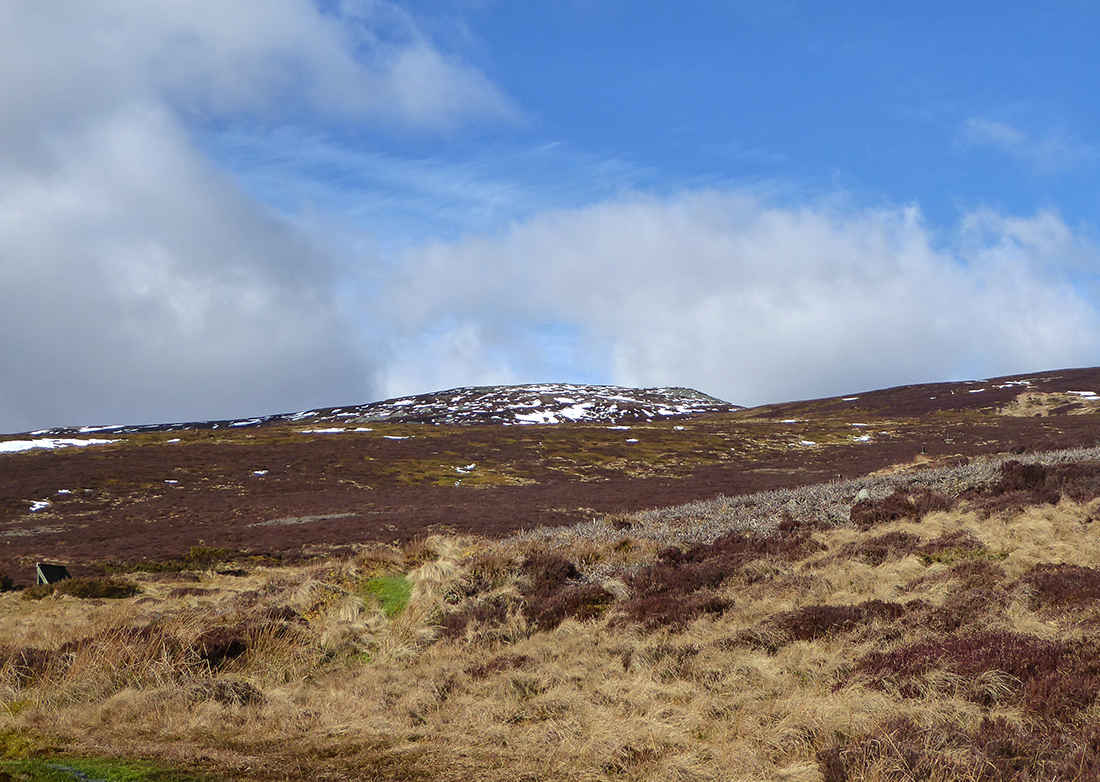
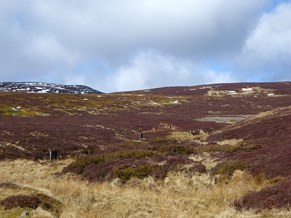
Clearing the top of the gully between Roar hill and Bad na Beinne, we get a glimpse of snow further up
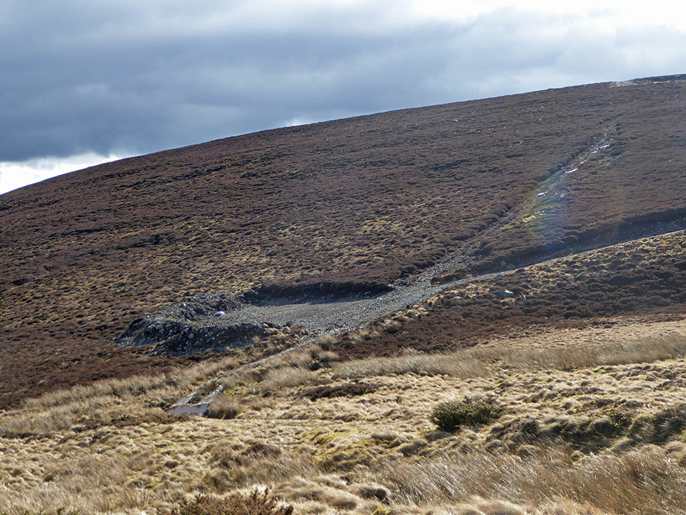
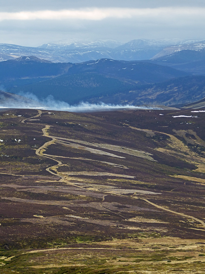
Roar hill has some ugly scars of carelessly bulldozed tracks, an assault on the scenic eye
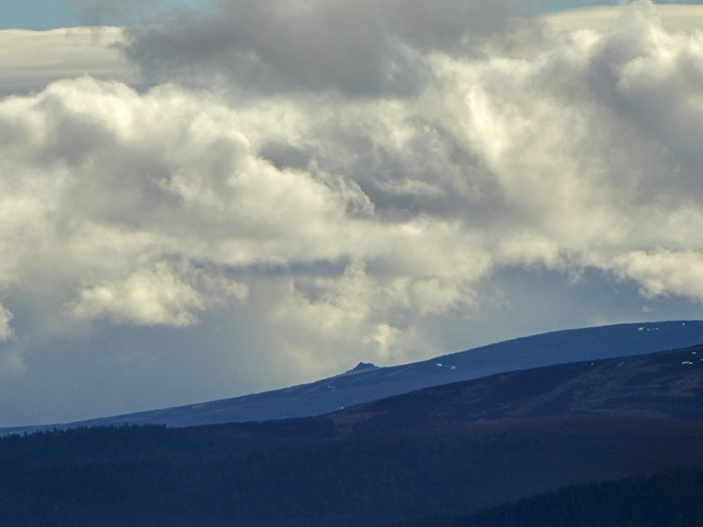
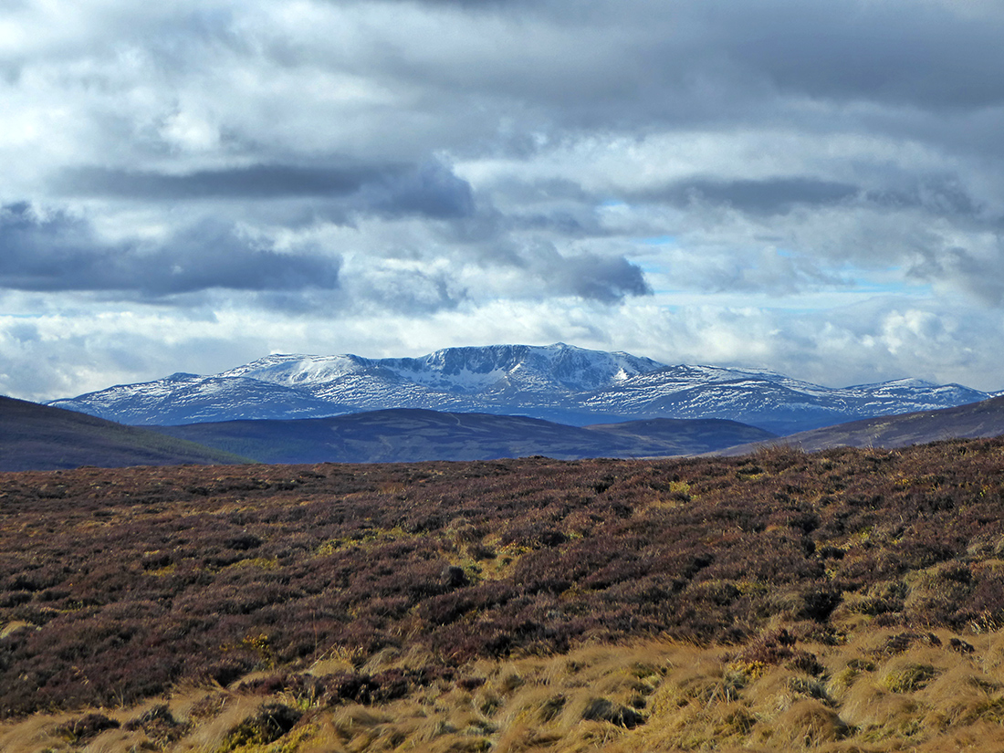
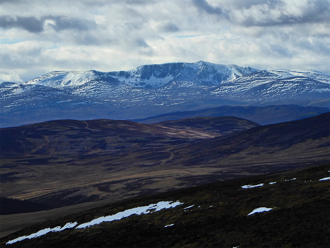
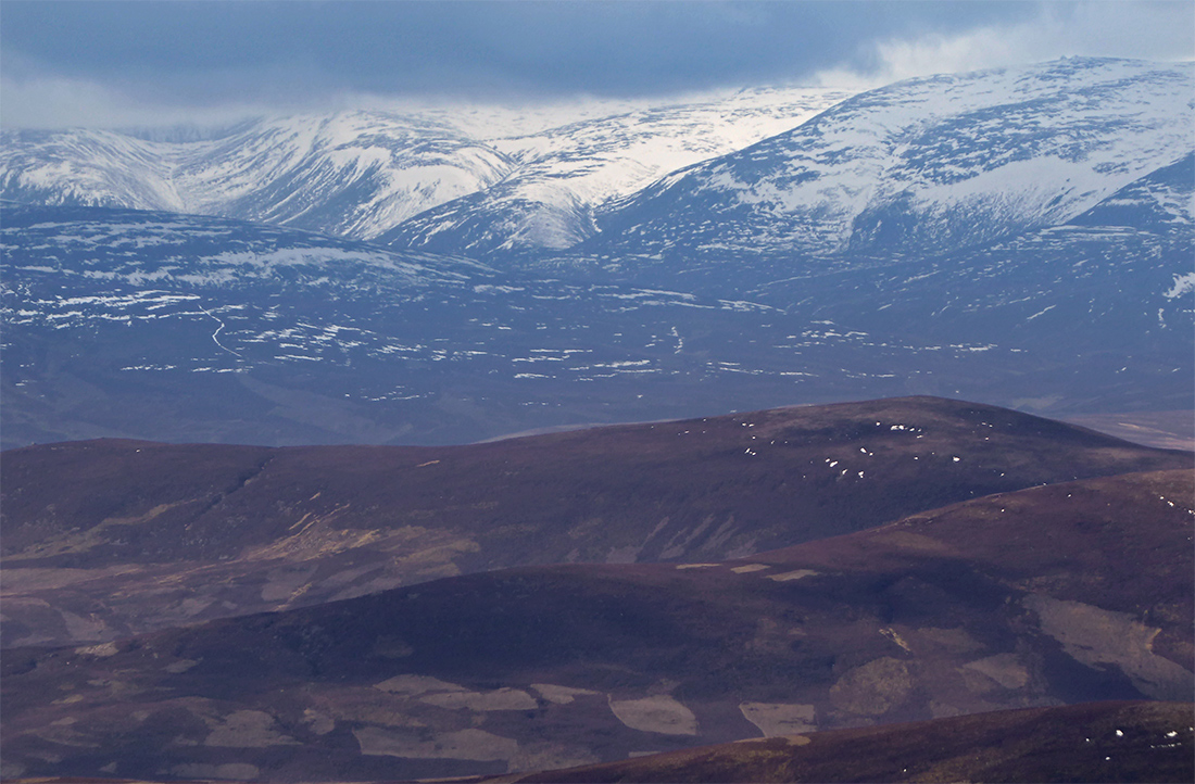
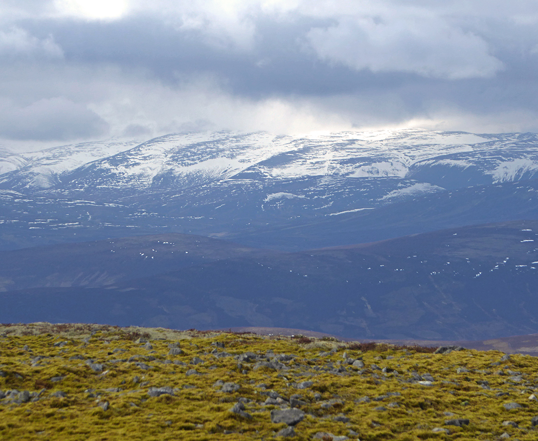
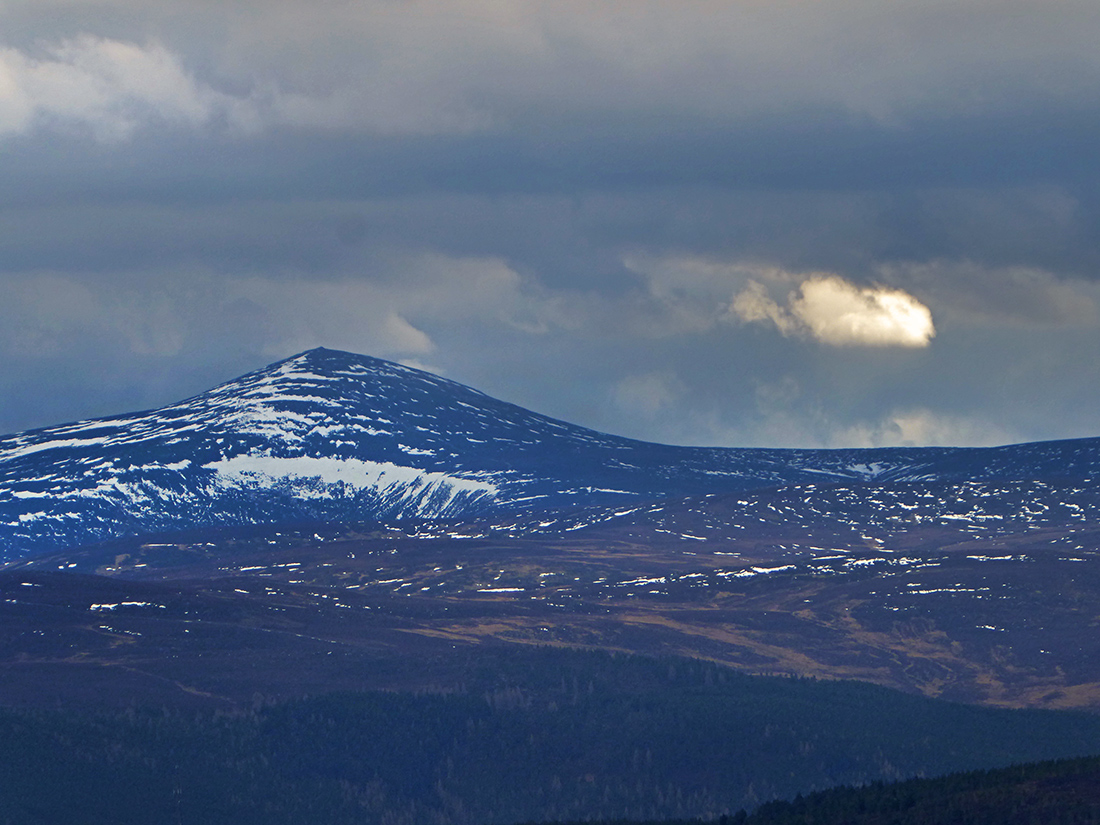
But appearing ahead to the West, snow-drizzled Lochangar is majestic
Grouse hides point the way up
I make sure to look back down the track every so often at the panorama
The ascent has slackened as we approach the climb to little cairn
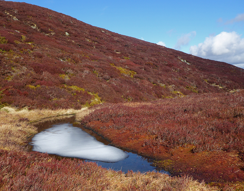
Melty pool

More snow
Steepening up again
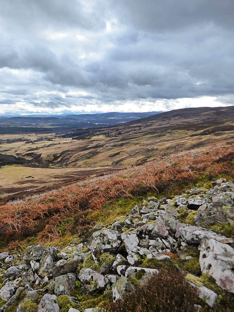
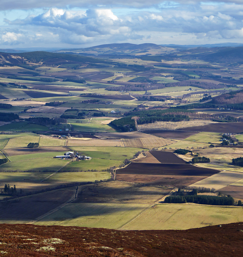
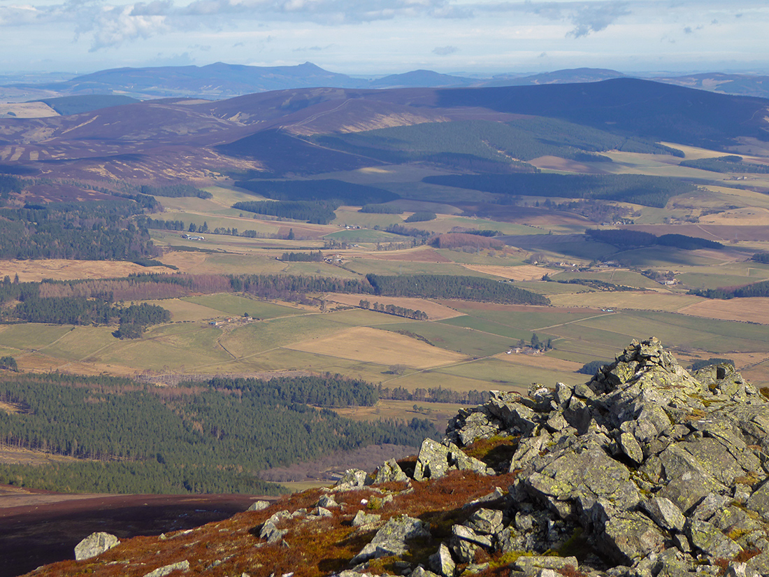
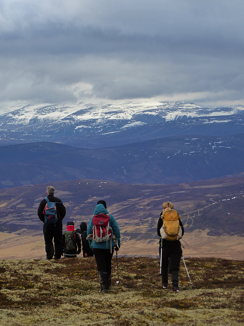
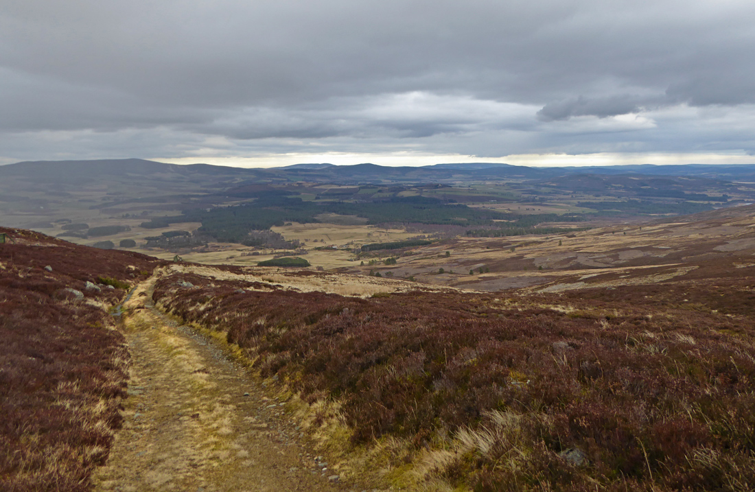
From the ridge leading towards the top, the view North East is a patchwork of cloud dappled fields for miles

If I’d not been with a group, I think I’d have parked up and timelapsed the drifting clouds
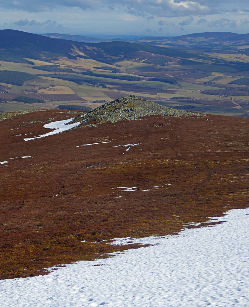
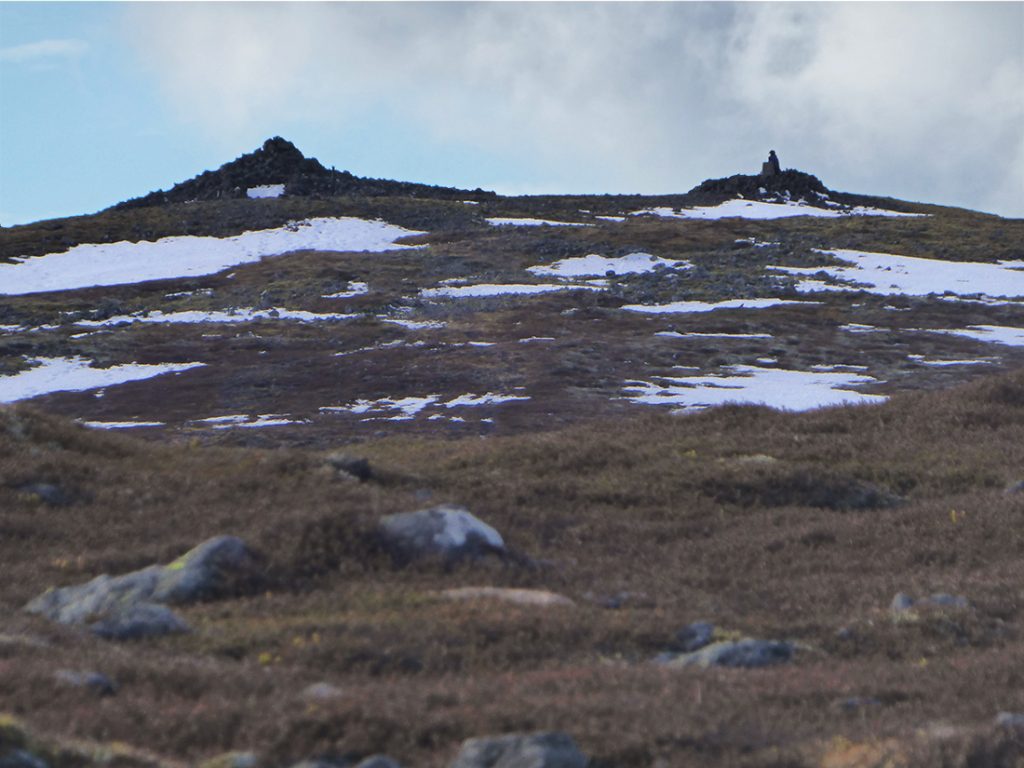
First rocky pile of the day

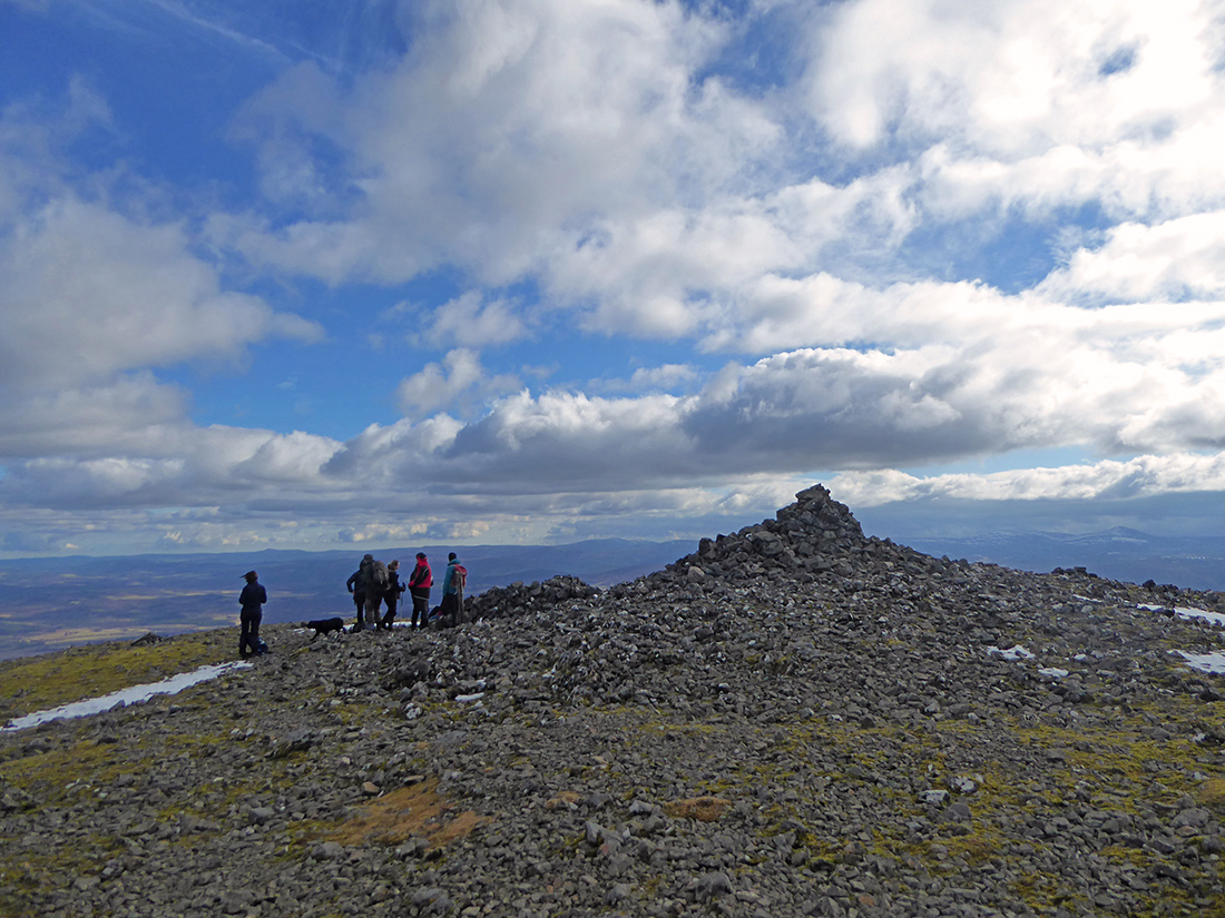
A tumble of rocks gathered makes a good place to herd together our strollers and sprinters. Lunch has a seat and a blue sky. Barney the dog furiously excavates the snow in the shelter between distractions of lunch morsels
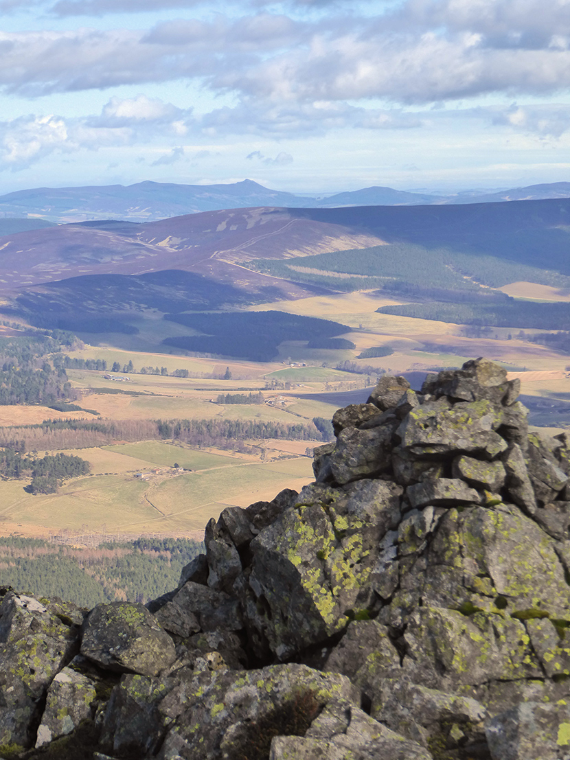
Looking back

Zooming in to Bennachie far away on the horizon. Good visibility today

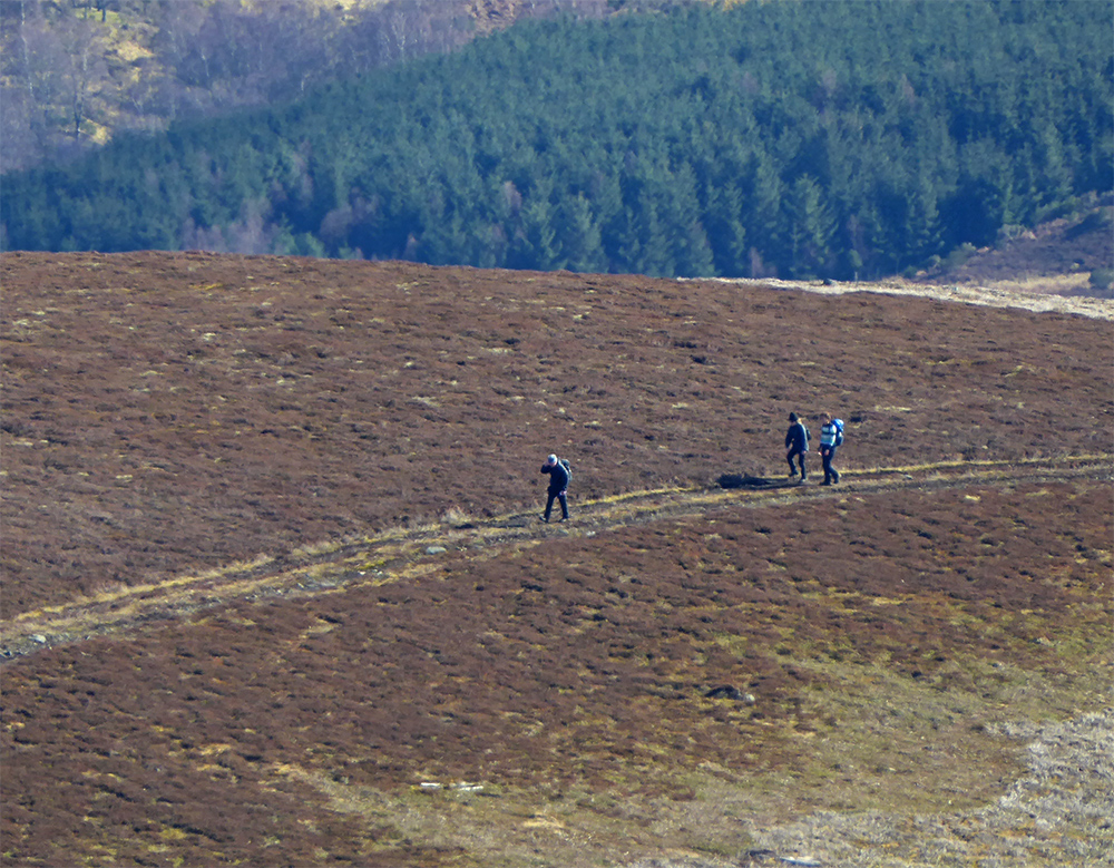
Our tail markers are lagging behind enjoying the sun
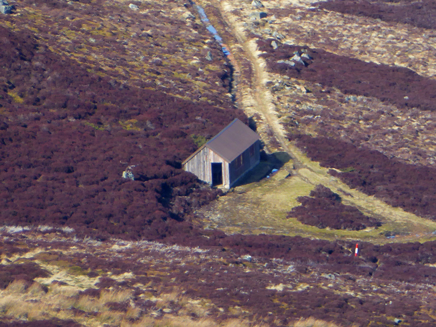
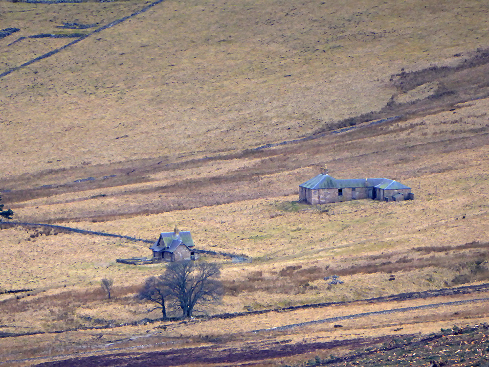
A wee hut down below. Those red cones get everywhere
Looking back
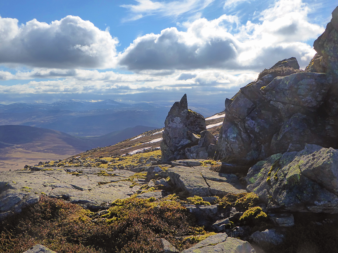
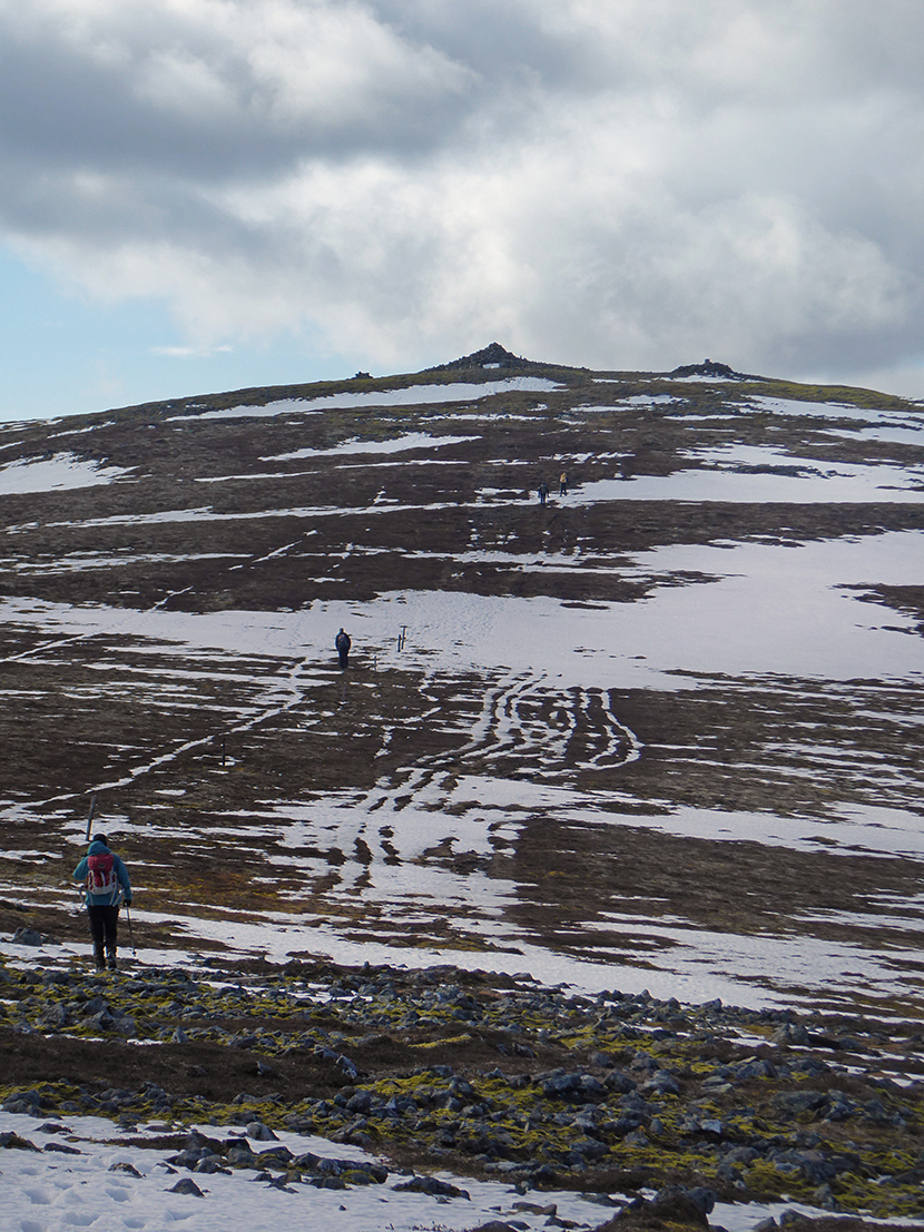
Looking forward. One may think the summit is close but there’s a few rocky piles to go

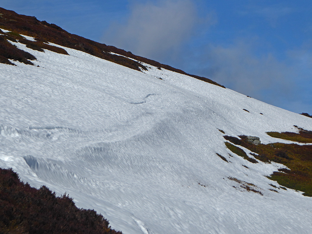
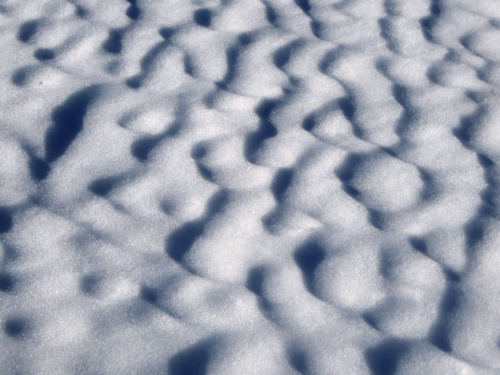
Snow waves
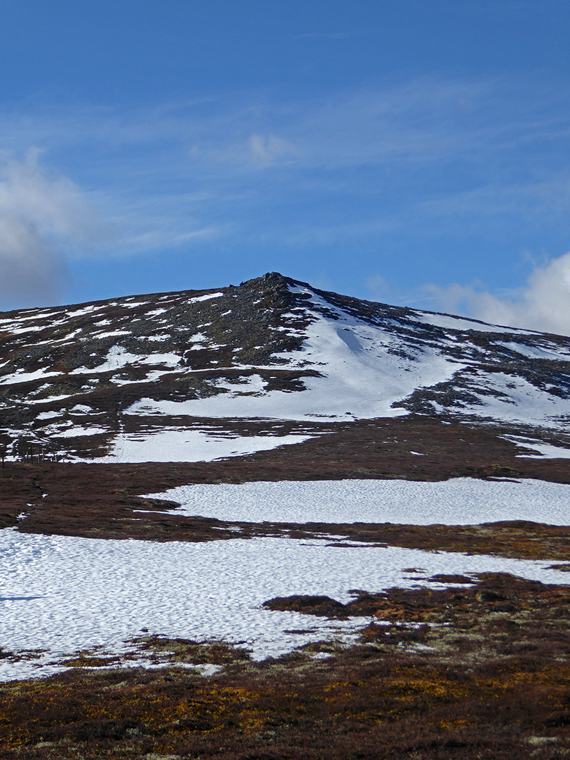
The rocky outcrop of mid cairn

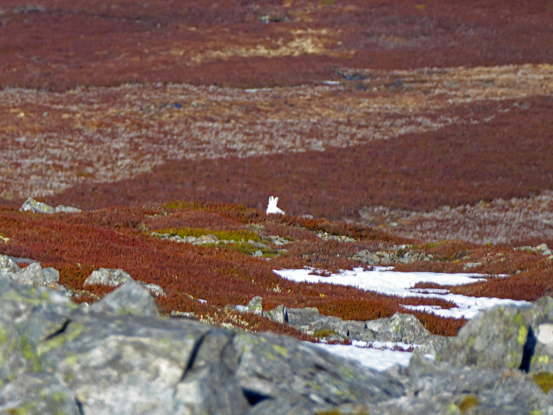
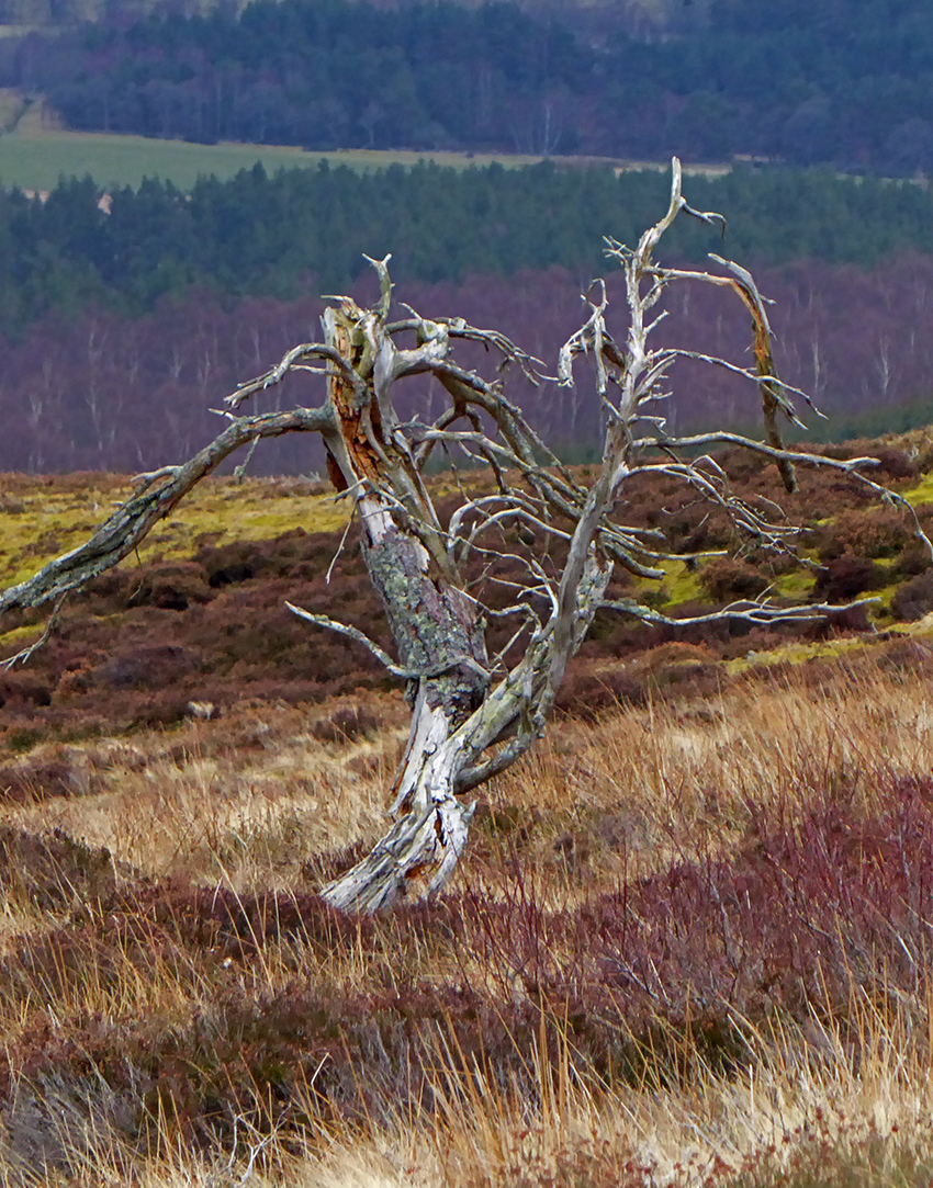
Not enough snow to hide this beasty
Ripples of clouds
Now the final climb. Some old fence posts and wire straggle across the slope
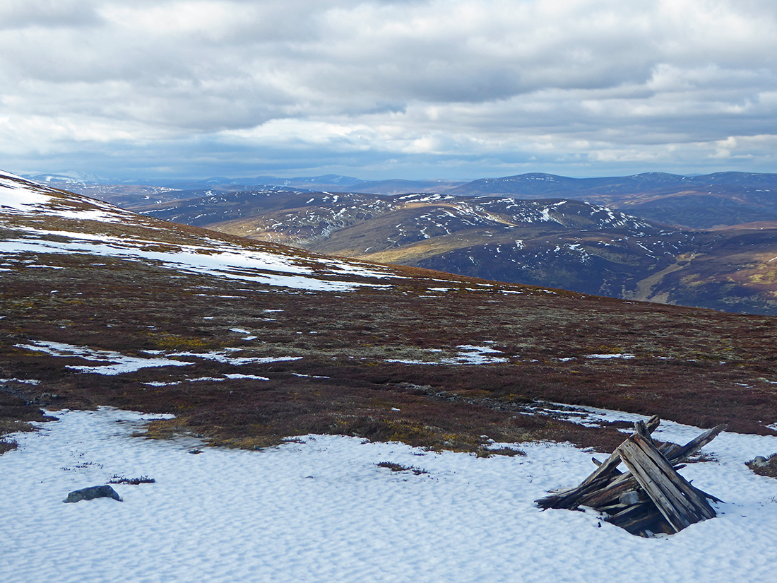
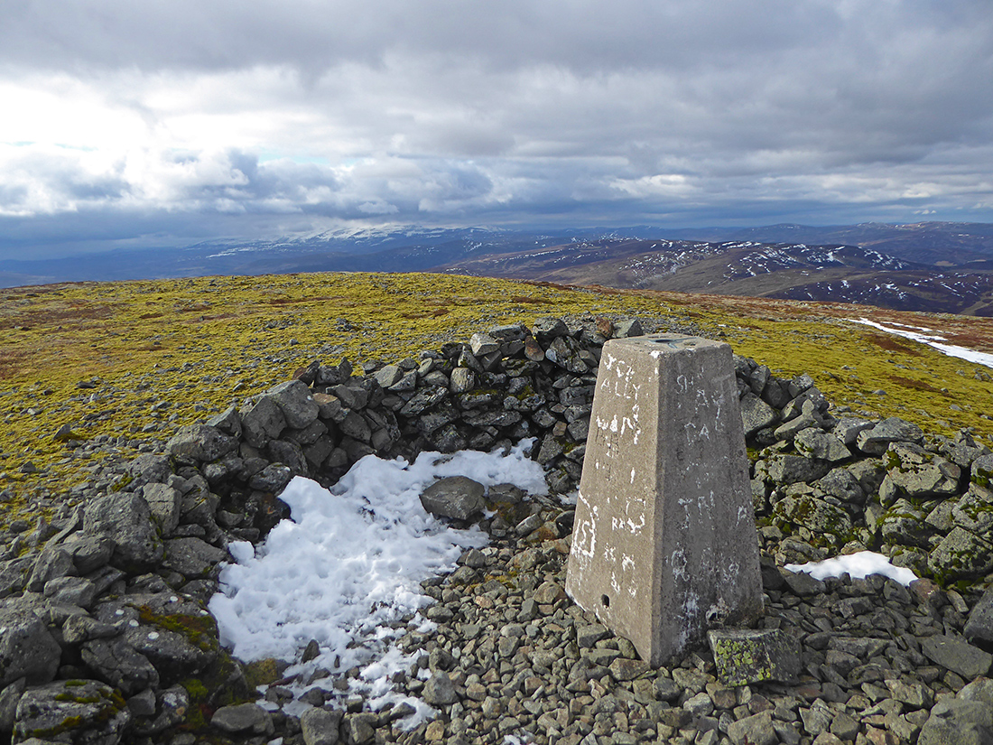
The top. 872m, 650m ascent from the bottom
The indicator shelter. Forgot about the book, ach, wonder how long it goes back. I’ll sign it next time
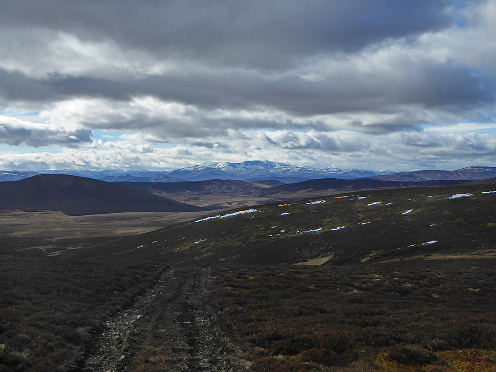
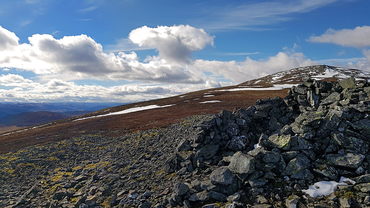
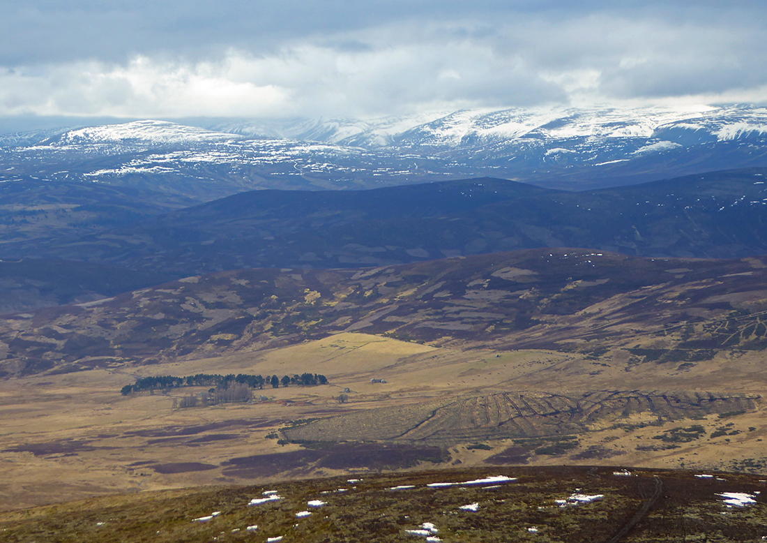
Looking West, into the Cairngorms
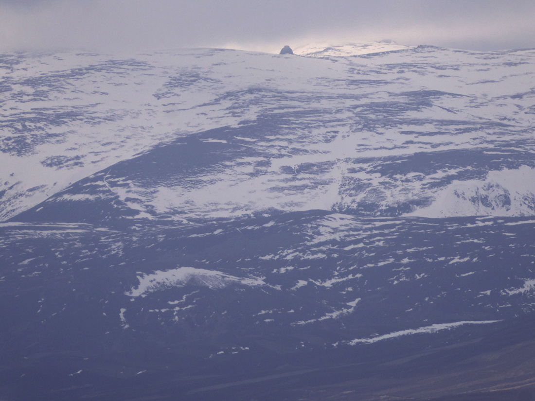
Can just about make out a cairn at max zoom

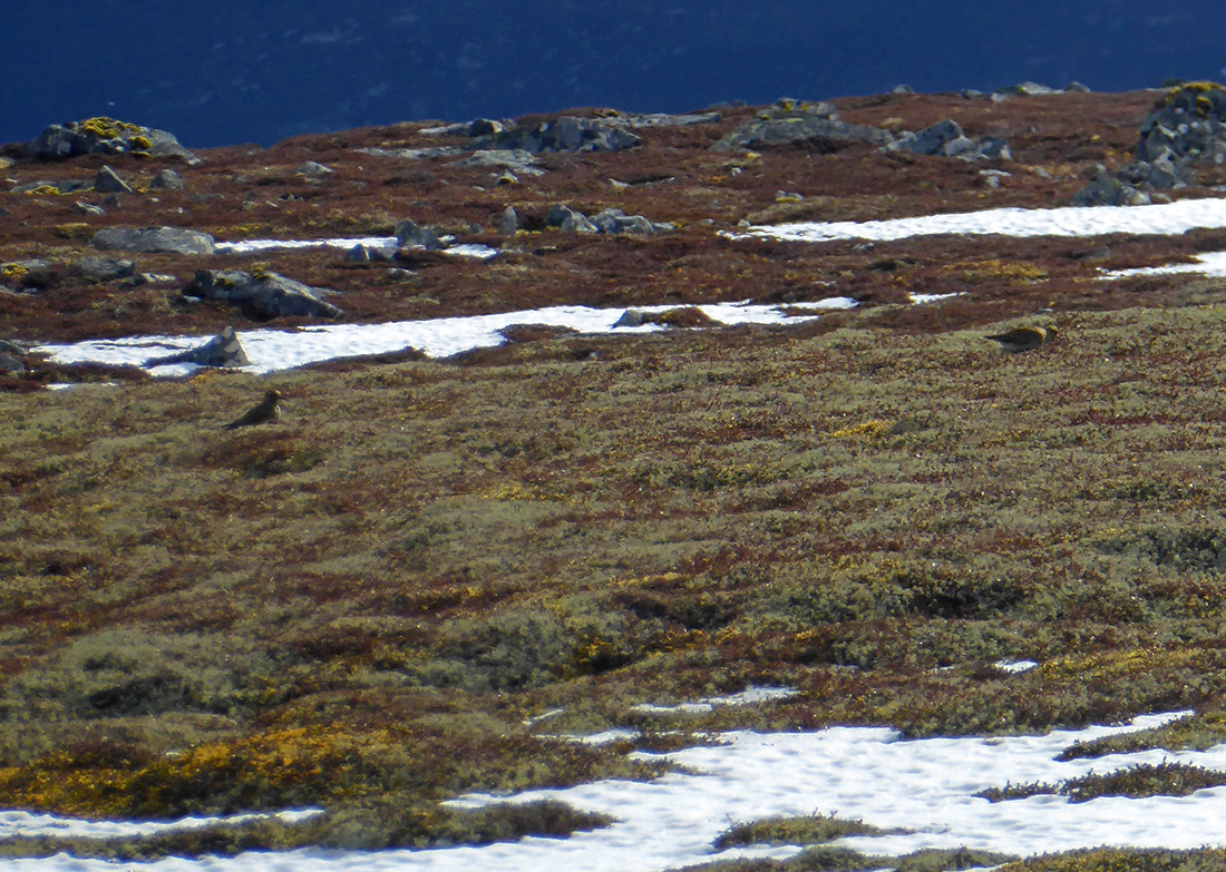
Golden plover pecking about
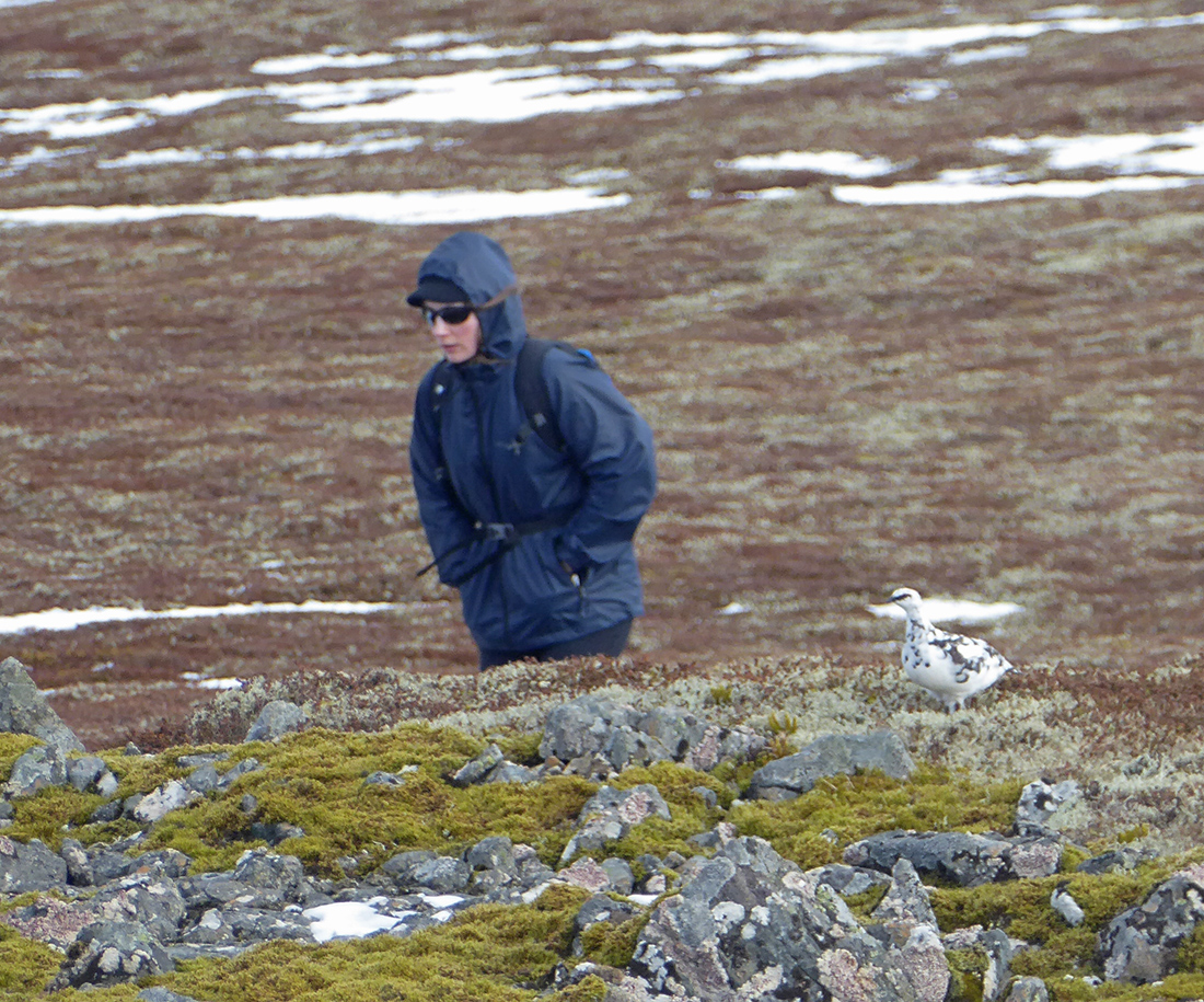
And ptarmigan
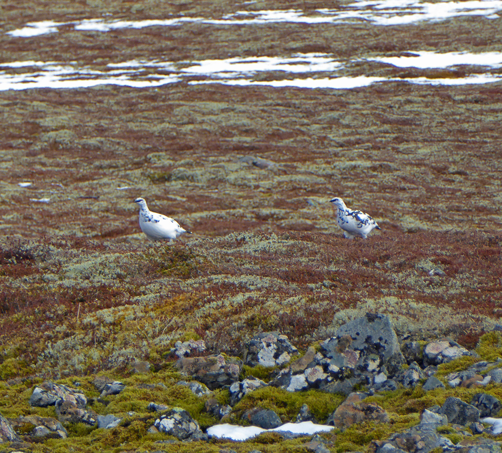
Ptarmigan says ‘shoo, this is my hill’

Time to head onwards. We will head down off the West side, there’s a path, unmarked on OS that follows the fence line, turning South that meets up with a track
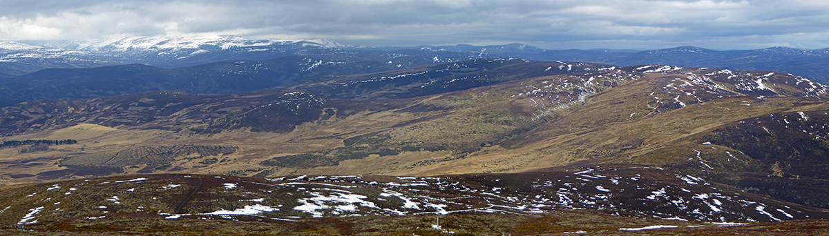
The panorama on this side is a lot wilder than the mosaic of fields on the East side

Muir burn smoke drifting along the glen
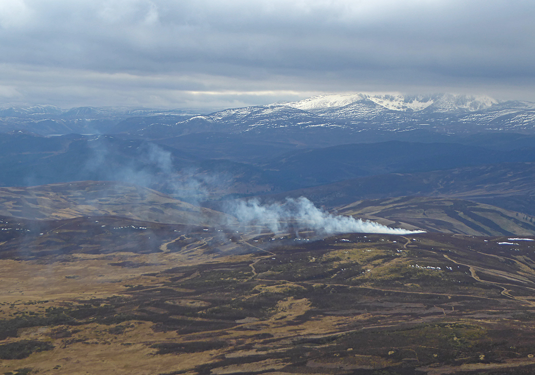
The clouds have firmed up no more blue
Tracks head South towards the Dee
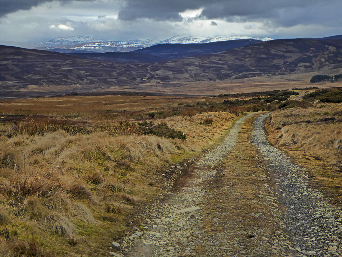
Turning East
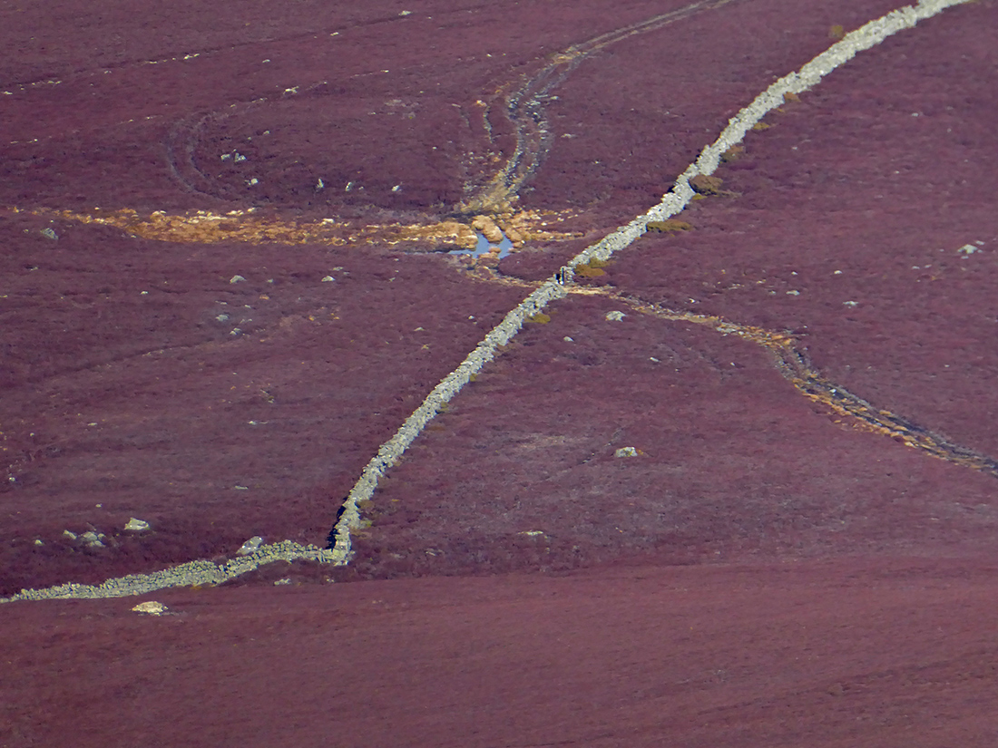
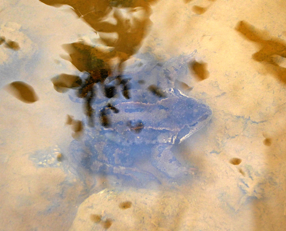
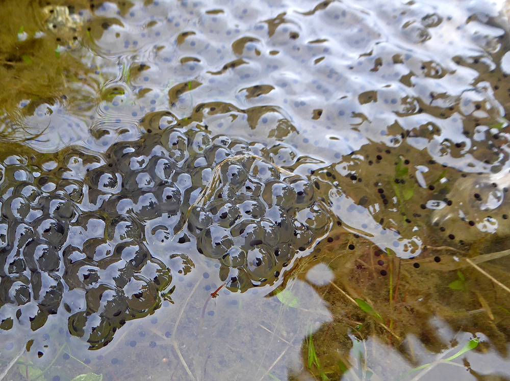
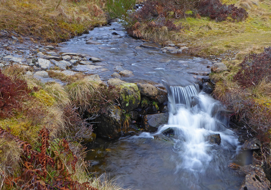
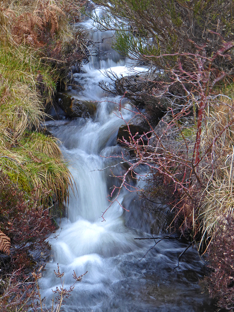
A wee burn runs along side the track, it’s pools are alive with frogs
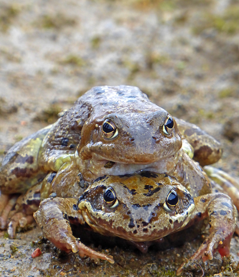
Results
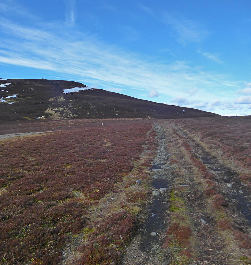
It’s a mostly flat stroll of about 4k back to Roar hill
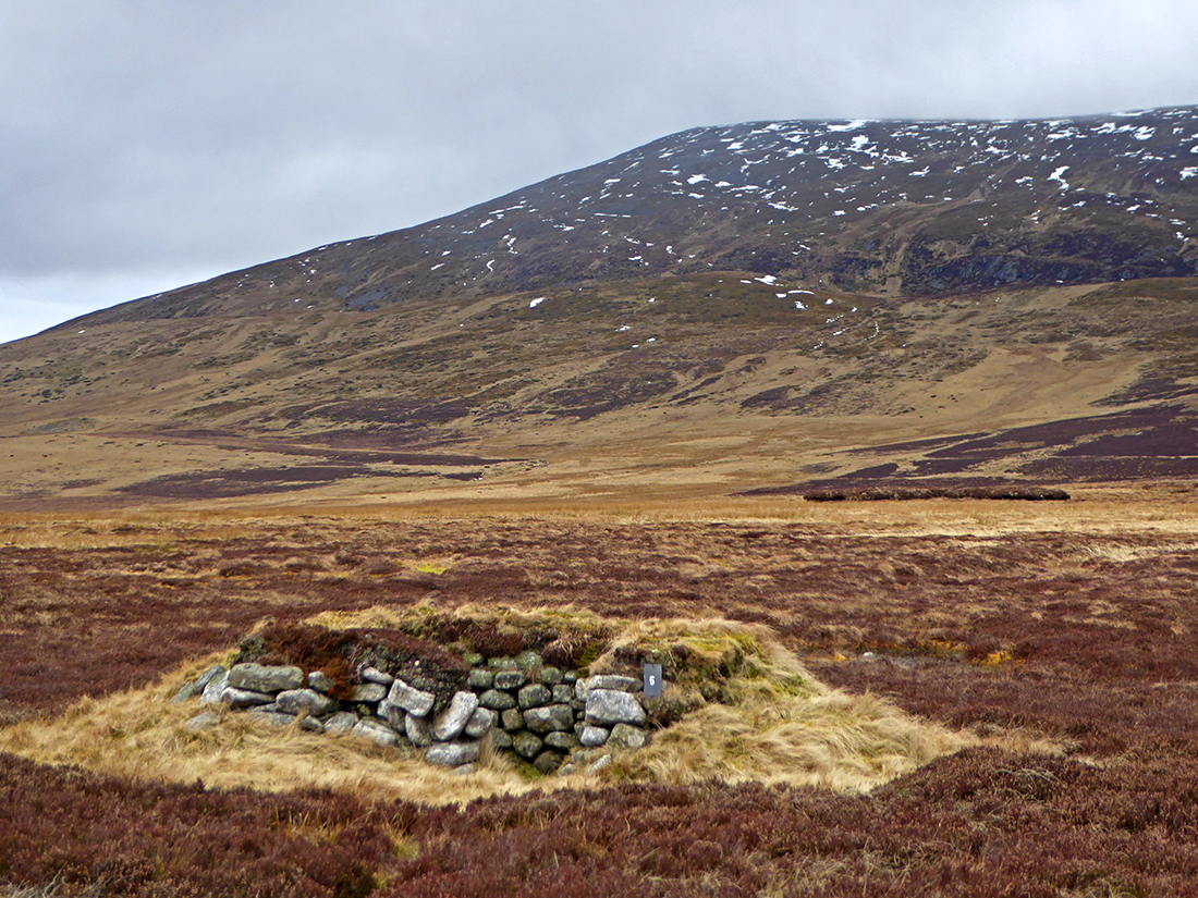
There are quite a few stone built shooting hides along the path. If nothing else, handy for a modest comfort break amid the wide open space here
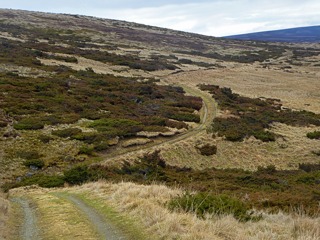
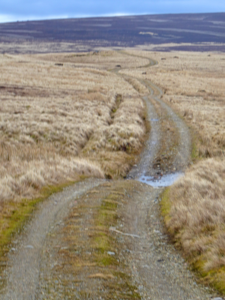
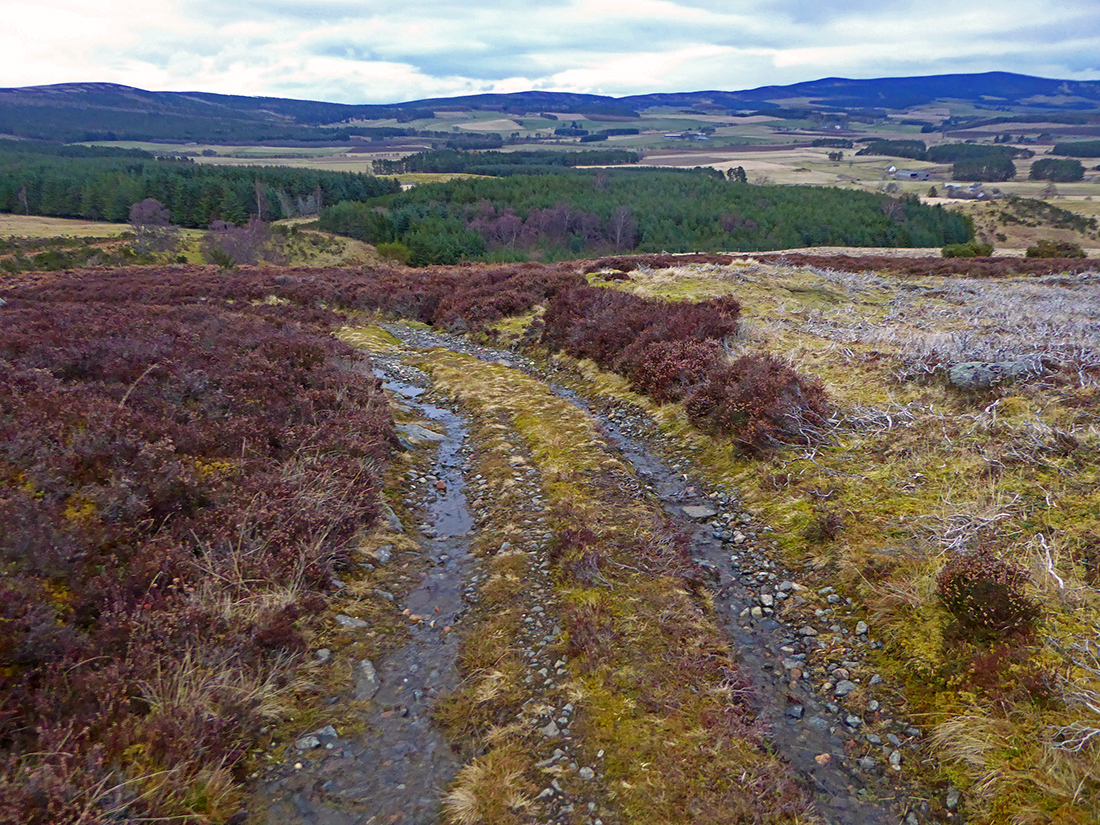
The track begins to descent off Roar hill back towards the start
There are quite a few dead rabbits lying along the track which seems a bit odd. Whether disease or through the actions of man, it’s also strange that they haven’t been scavenged, they’ve been lying for a while. Intensively managed grouse estate = no scavengers or predators. In regular countryside they’d have been picked clean quickly

It sweeps across the hill side in s-curves that’d be good fun on a bike
The ford is slippery, and best passed further upstream where narrow enough to hop across

Back down to Bridgefoot

Back along the road to the start. About 15km in total with 650m of ascent