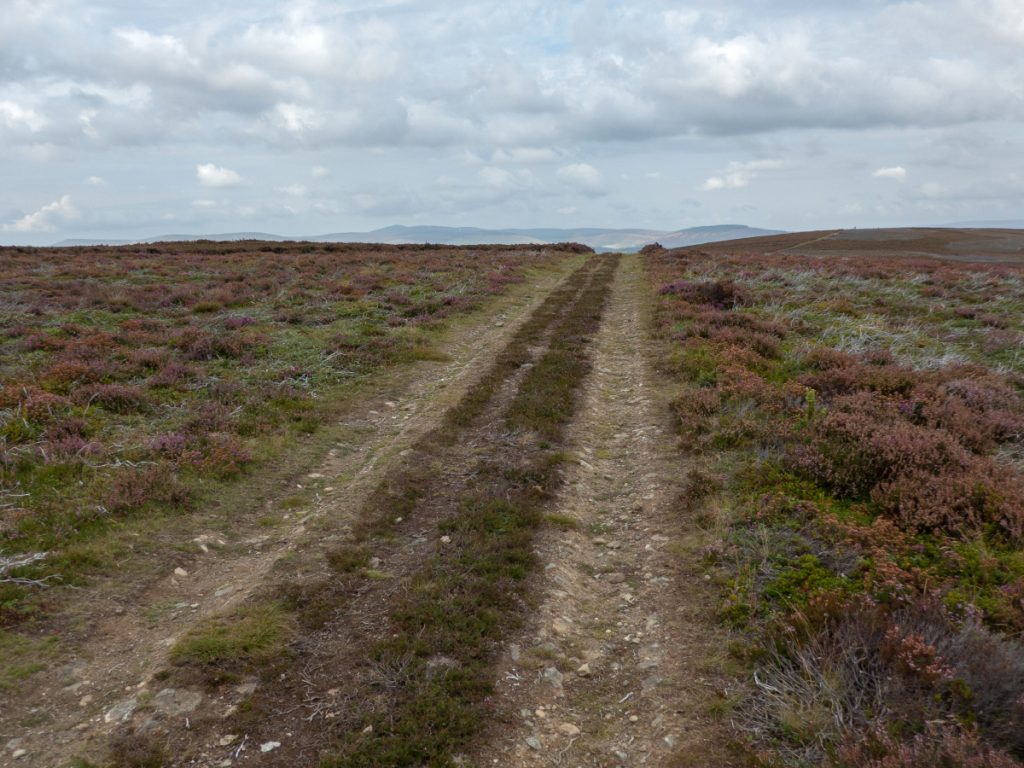
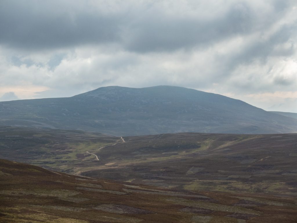
A friend wanted to do a combo bike “fast and light” hike and after looking at a few options we selected Morven which we’d do by biking in along the Deskry Water to Preas Whin, then hiking the steep northern side of the hill.
We started from a parking space off the A97 at NJ 414 105 but could have done so from along the Deskryshiel track where there’s a clearing that looks like it’s for forestry.
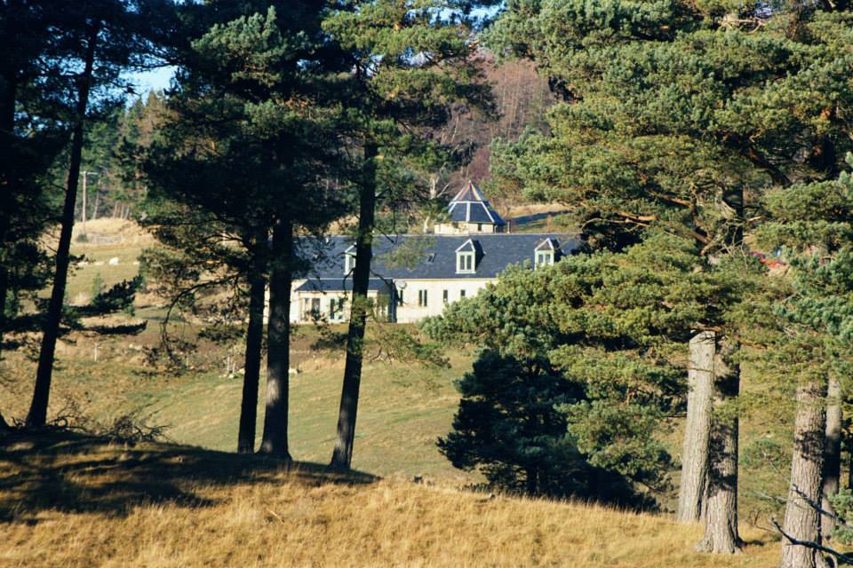
On the right, we passed Allathumpach, an eye-catching farmhouse that although it looks old was actually the result of modern architecture.
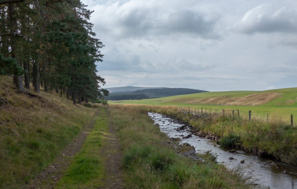
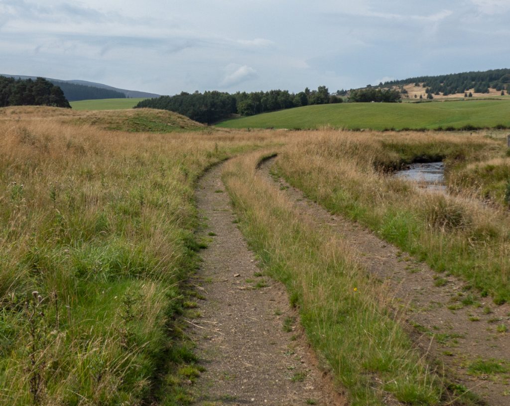
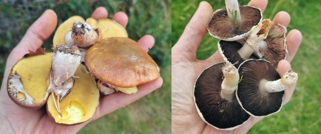
The track follows the Deskry water past farm land and woods, in some places a good hardcore track and in others grassy. I picked up a few mushrooms as we went.
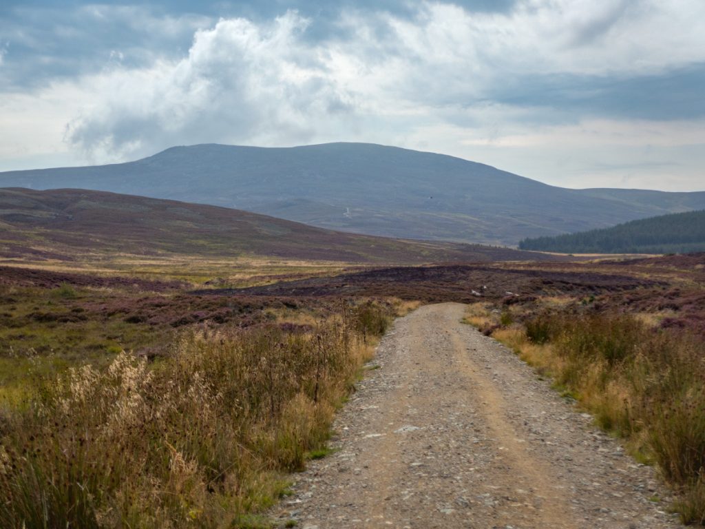
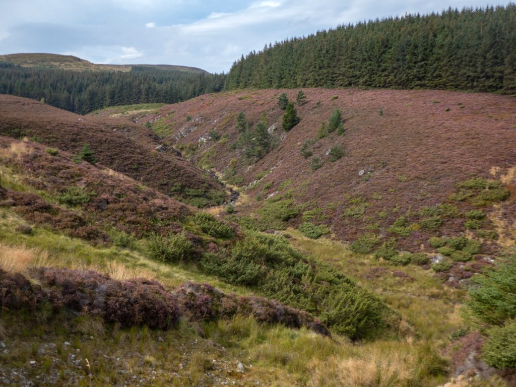
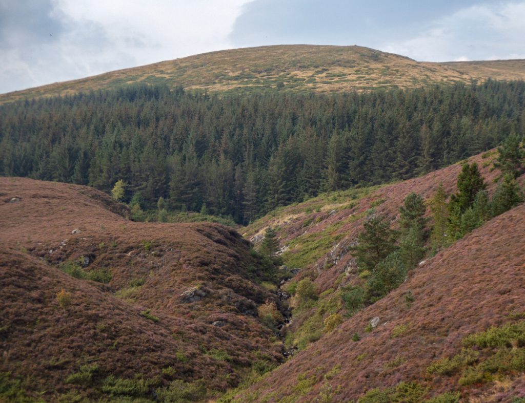
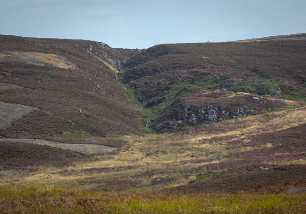
At ‘Pennystone Green’ I made a wrong turn at a fork: OS maps don’t have the track that heads further west to Corbies’ Nest (OSM does); but worthwhile the ascent and few minutes as I got a good view of this nook before heading back. It’ll be one to follow another day, appearing to head all the way to Glac of Bunzeach.
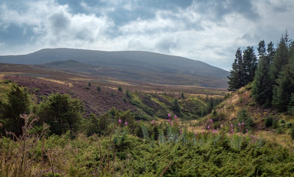
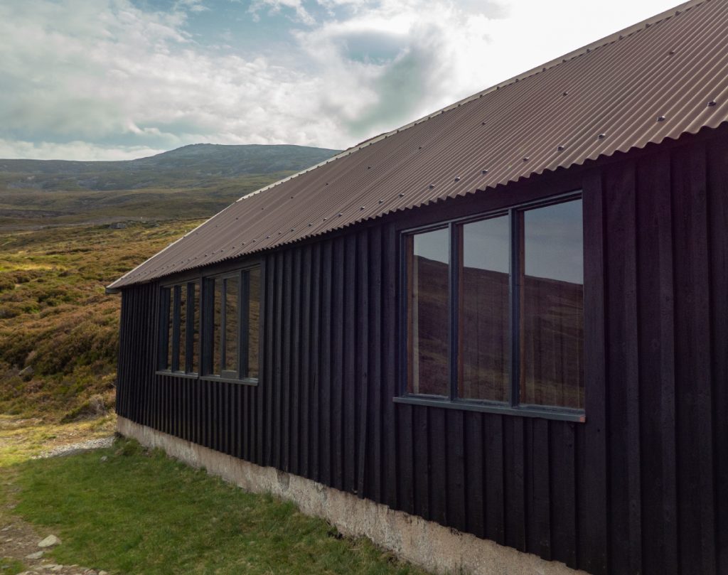
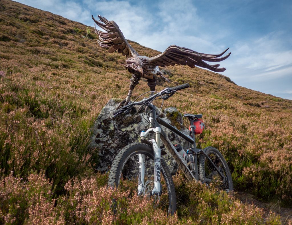
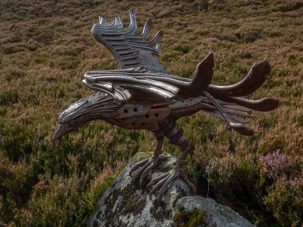
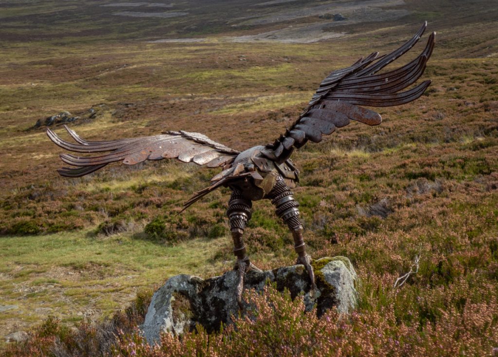
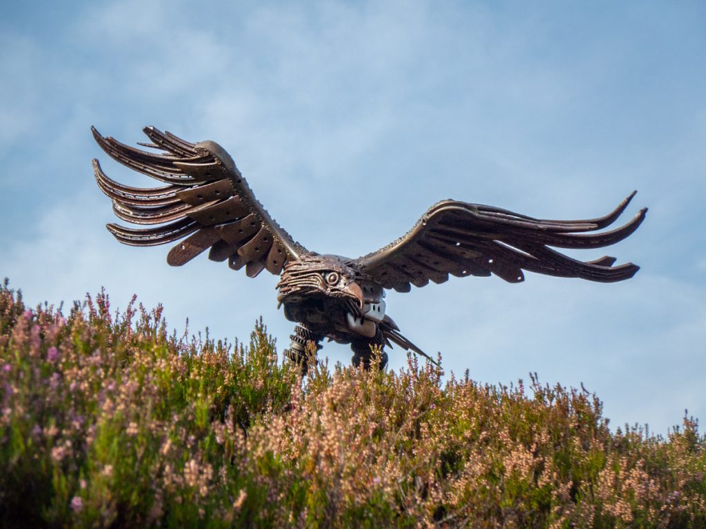
Back on track we wound our way up the steepening track, glad to dump the bikes at the shooting hut at Preas Whin, where they could be guarded by the beast of this lair: the golden eagle statue by Helen Denerly, a sculptor who specialises in works made from old machinery. The irony of there being an eagle statue here: they haven’t been seen in the area in a long time, mainly because of the rapacious gamekeepers of the area; I recall finding a suspicious cluster of dead hares on the eastern slopes of Morven a few years ago and wondering whether they’d been dumped and poisoned for whatever might feed on them. This steel golden eagle is the only bird of prey safe around here; impervious to poison, traps and shooting.
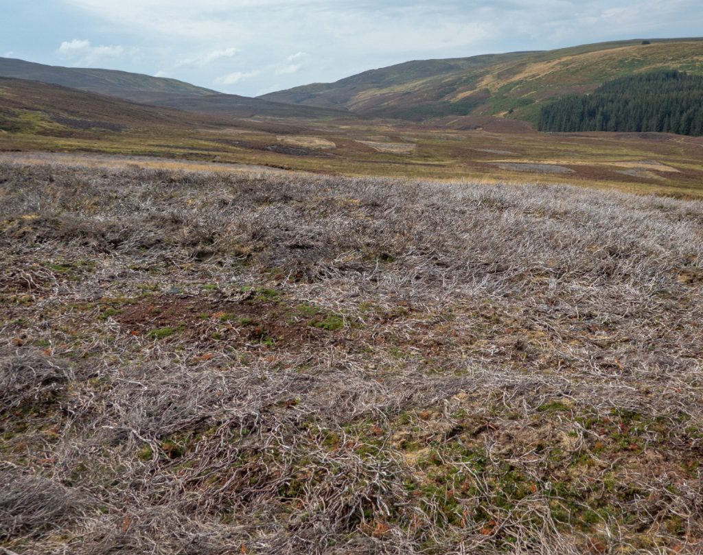
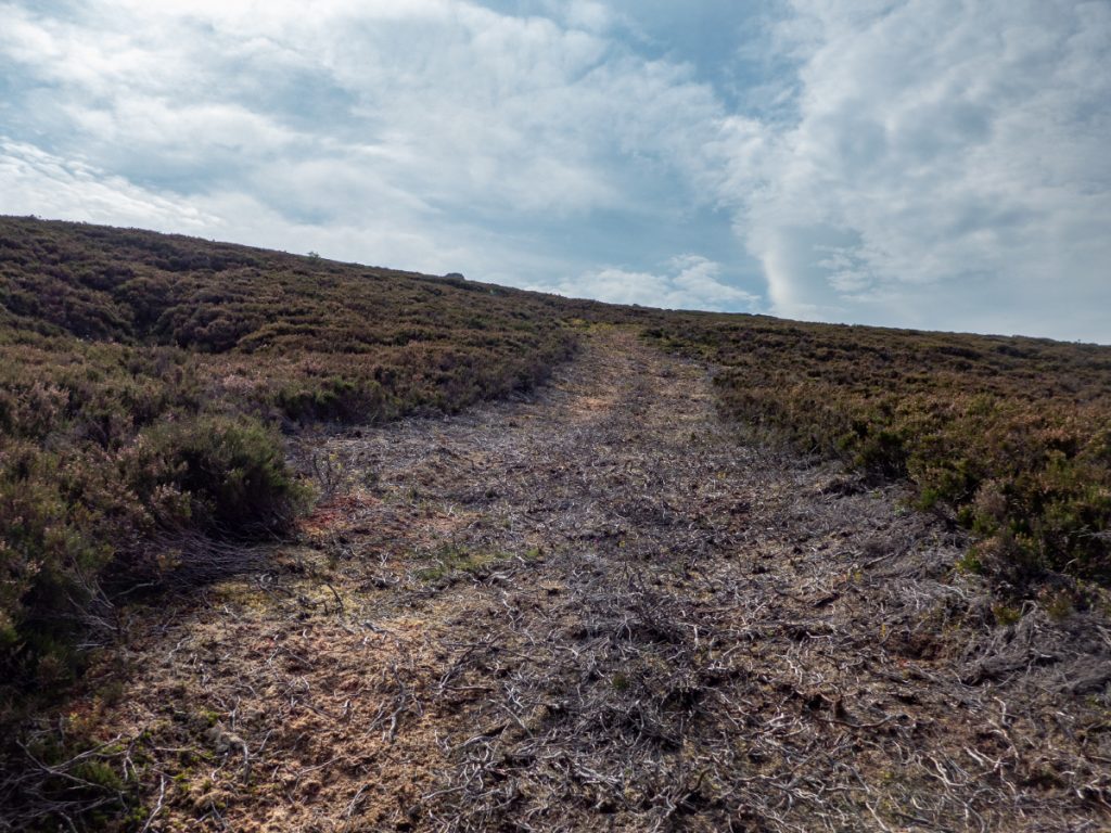
Although there isn’t any path up Morven from this side on OS, in reality there are a few runnels and deer paths weaving through the clusters of bog and rock. Since I’ve been here last there are new grouse butts; we scattered a few hares and hopefully they remain safe from the machinations of the estate creeping further up the hill.
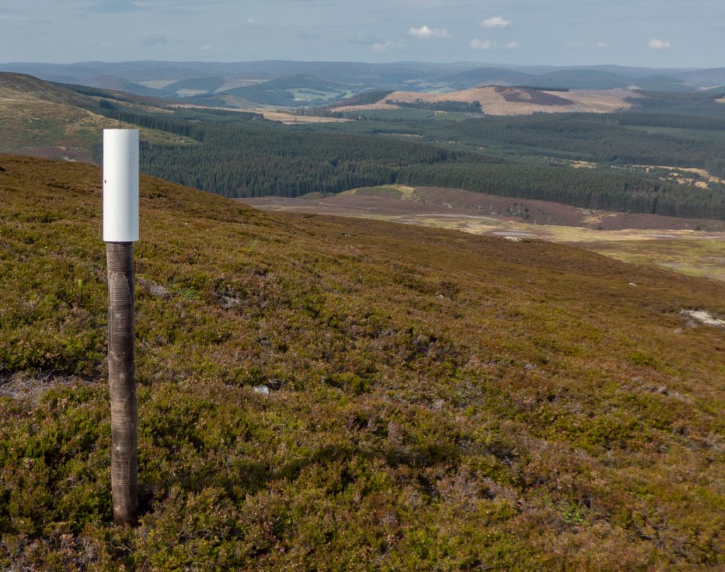
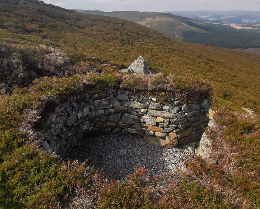
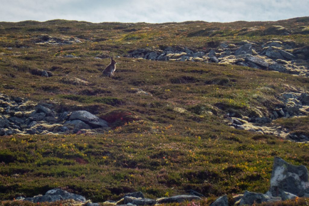
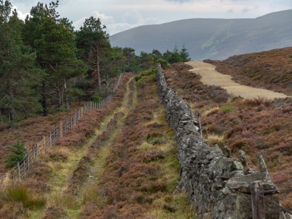
The top was soon reached and lunch taken before heading back down, past an outcrop called Windy Cairn. Back on wheels we headed west to see new terrain towards the Hill of Allamuc, then along the edge of Bonlee hill. The forest edge track had a new road bludgeoned alongside, for what purpose unknown as the old one was perfectly serviceable, but although a scar on the land it made the body-powered transit marginally smoother.
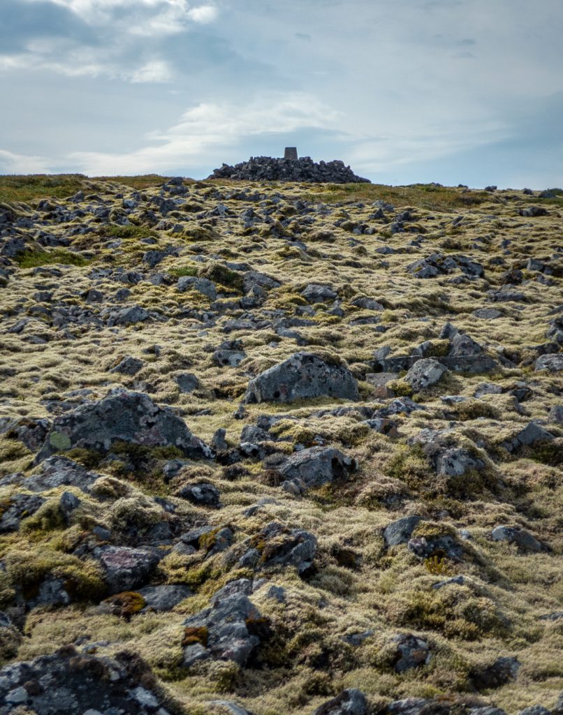
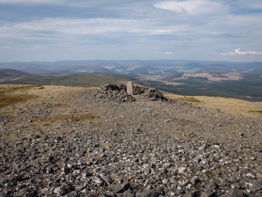
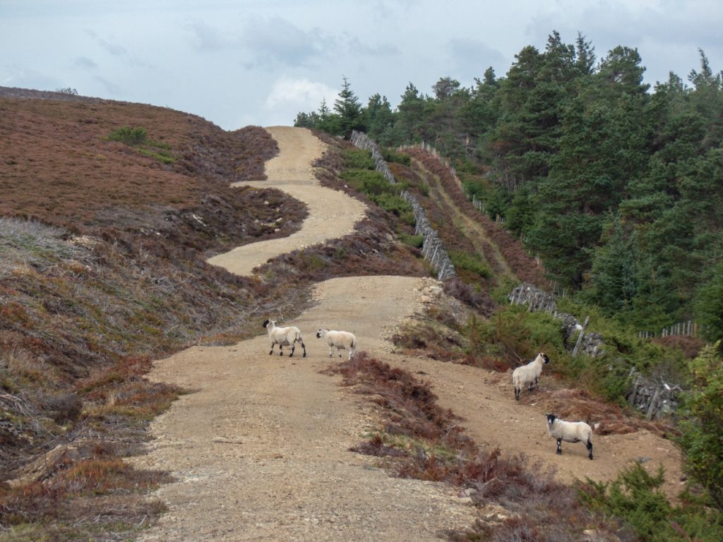
We took the track around Craig Glas over Hill of Bogston back to the start, and just made it through Tarland in time to get a cuppa at the cafe.
