I’d been in the Lochnagar area the previous weekend, but I was back again with the Cairngorm Club who had instigated a minibus trip now that covid restrictions were decreasing. The weather outlook was a lot better this time.
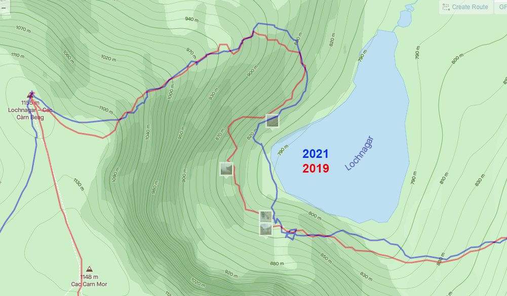
11 of us set off from the car park, the plan was to repeat the route previously done back in January 2019, taking the ‘tourist route’ up to Meikle Pap, but then going down to the loch, around it and up the north-east ridge.
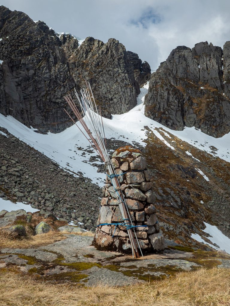
We stopped for a break at the rescue point below the black spout gully, where the steel rods are a reminder of the avalanche risk involved in these areas. Indeed, one of the Cairngorm Club members unfourtunately died in one here back in 2003 – RIP John Elgie
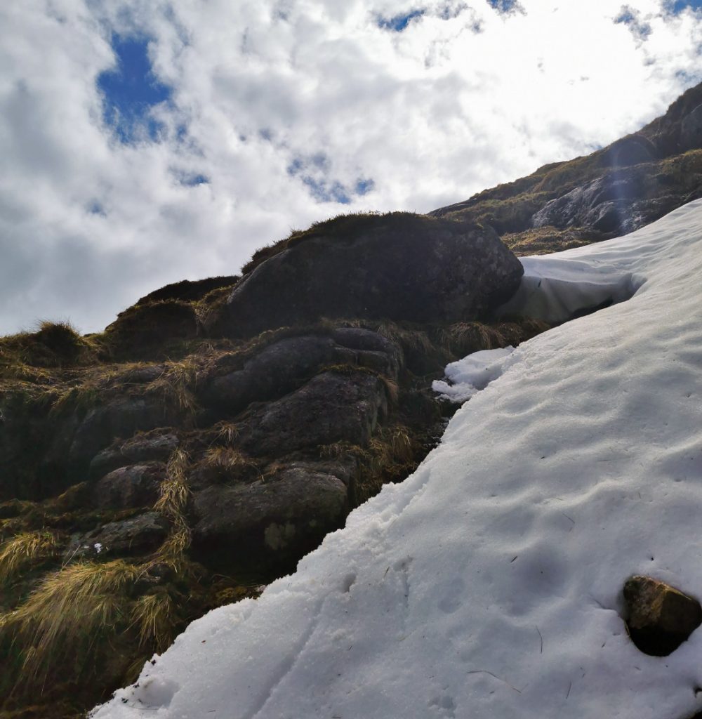
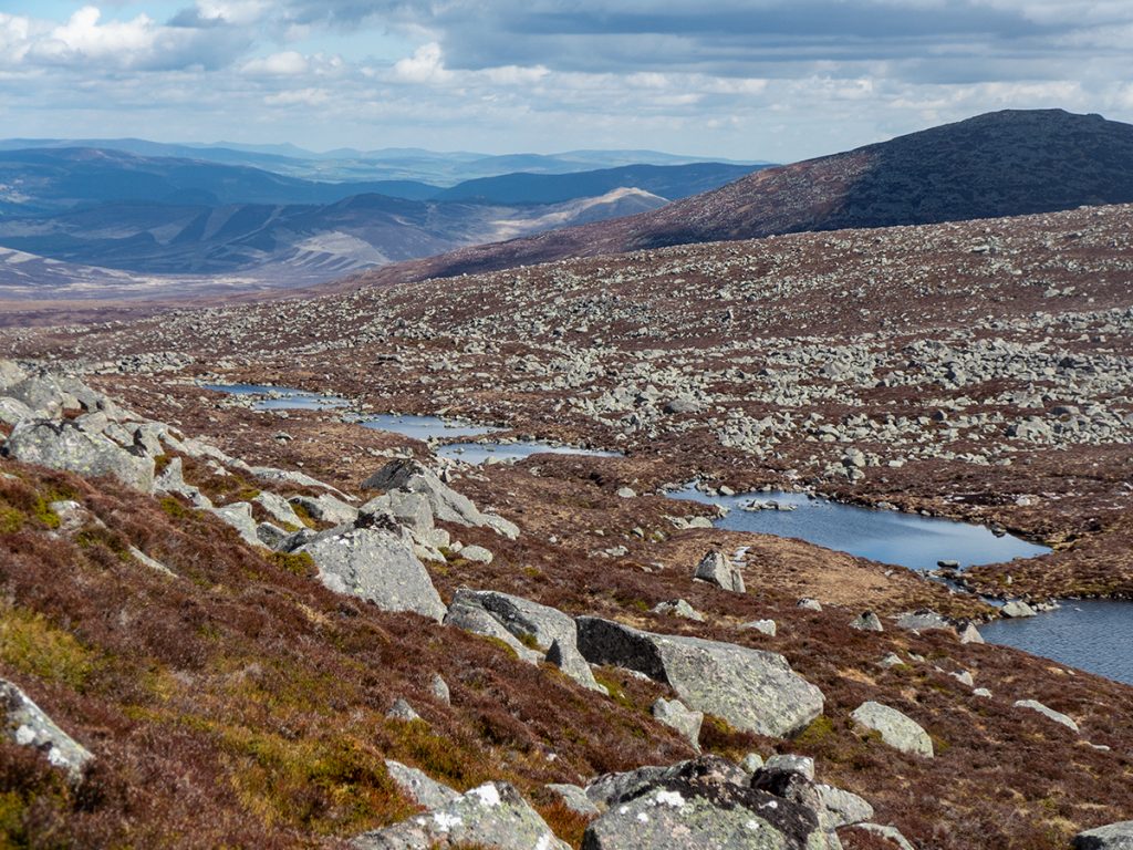
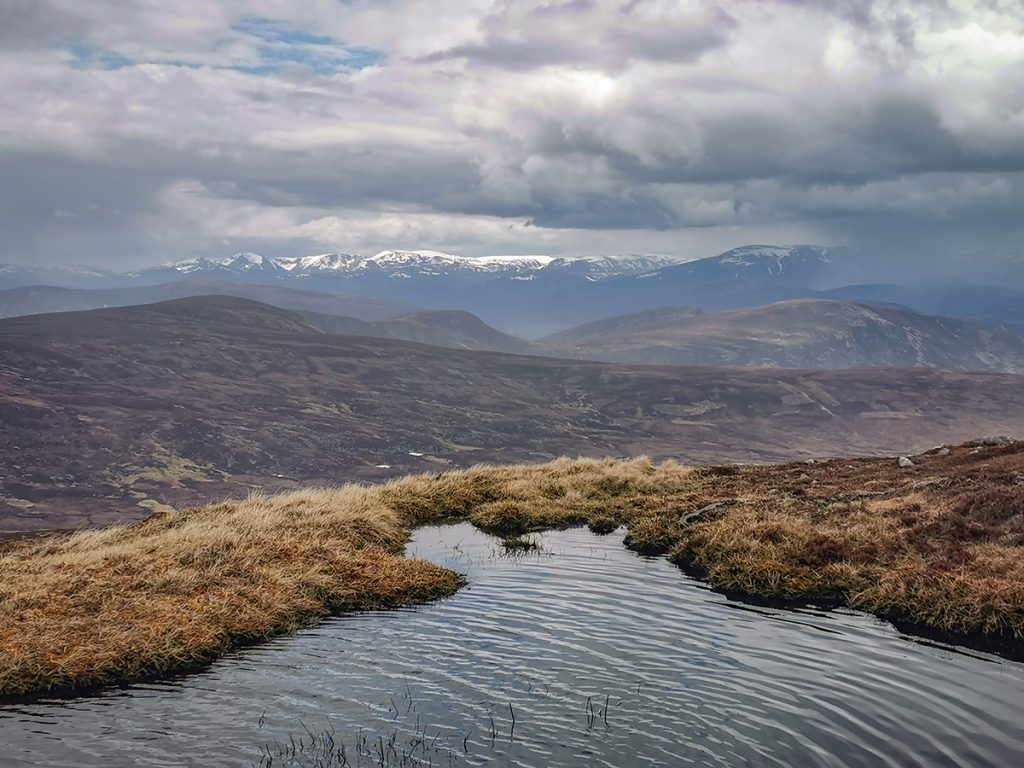
We decided to descend downwards towards the loch from the post, though this proved quite tricky – steep with some steps requiring a careful lowering down from on the slippery grass and rock. I didn’t recall it being so last time – I’d investigate later
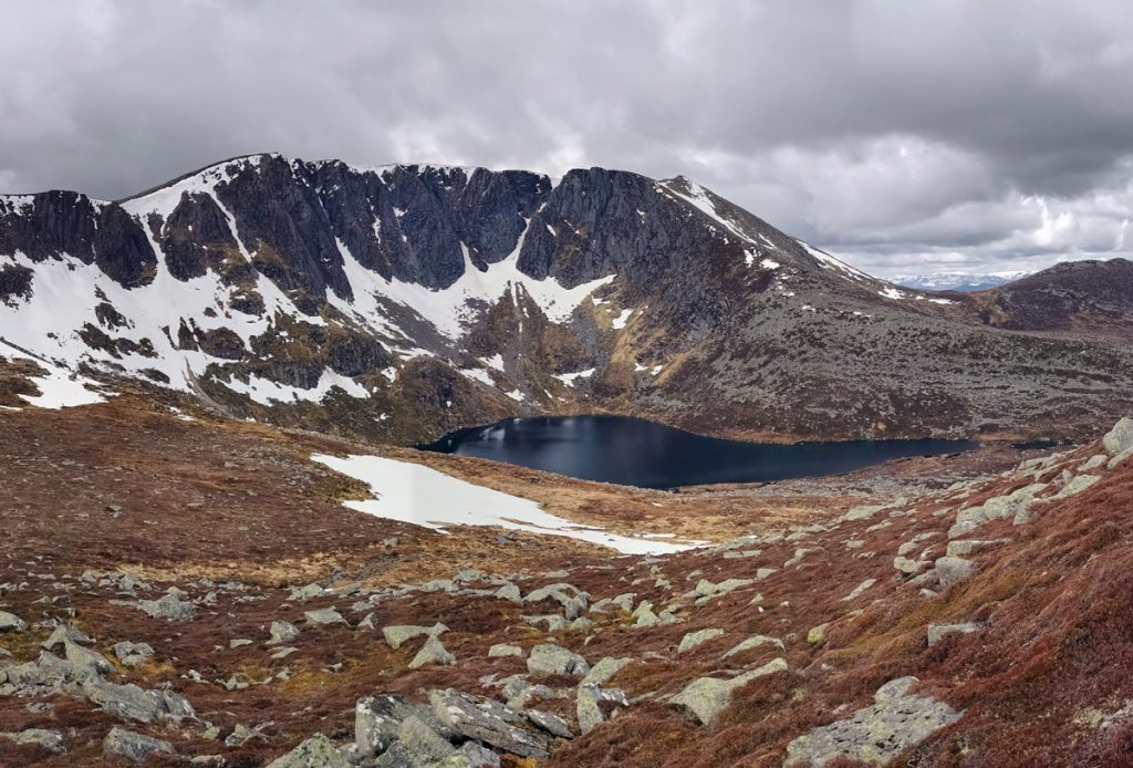
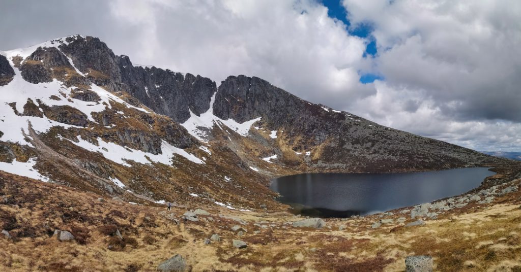
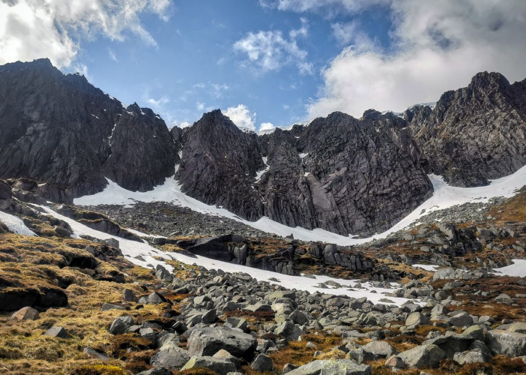
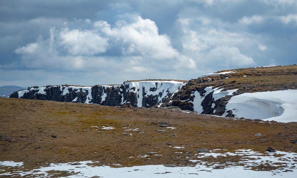
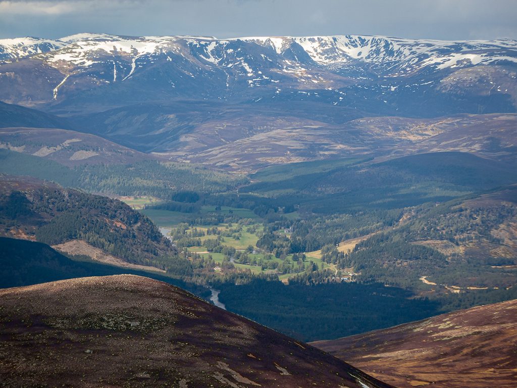
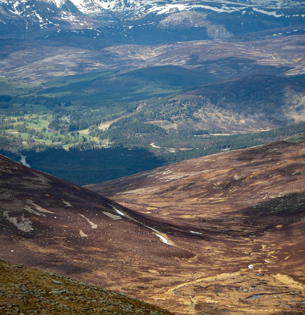
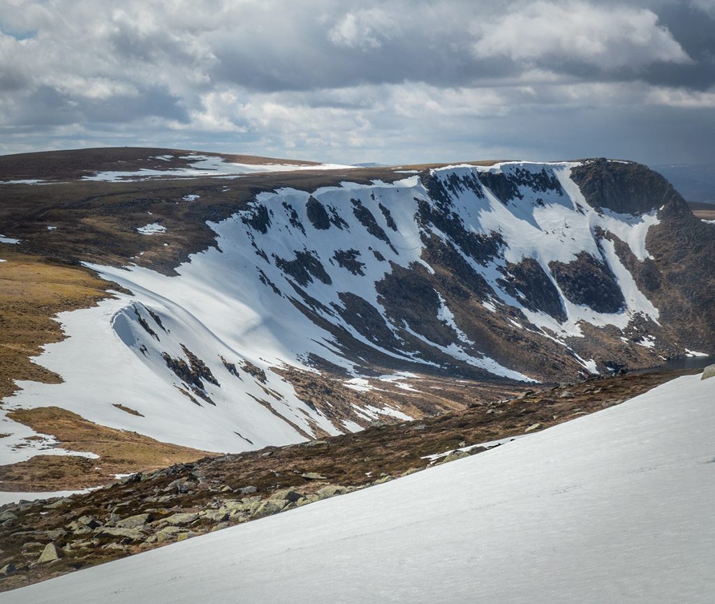
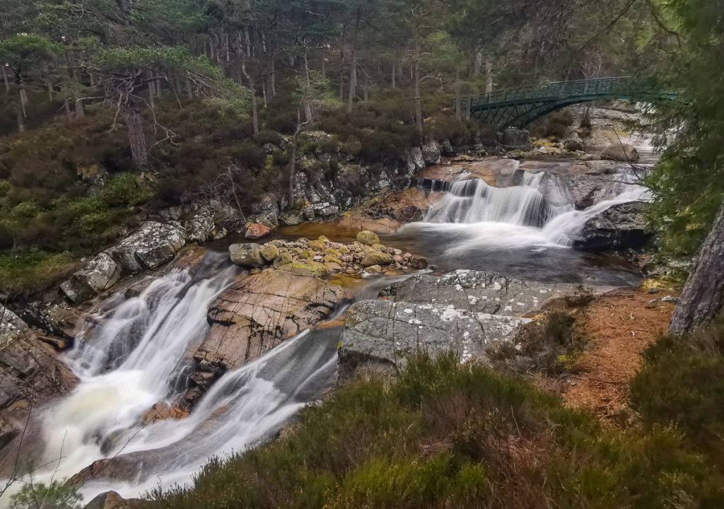
From here, and with great weather, the view of the crags above is epic, and worth the extra effort. A photo really doesn’t capture the scale and grandeur.
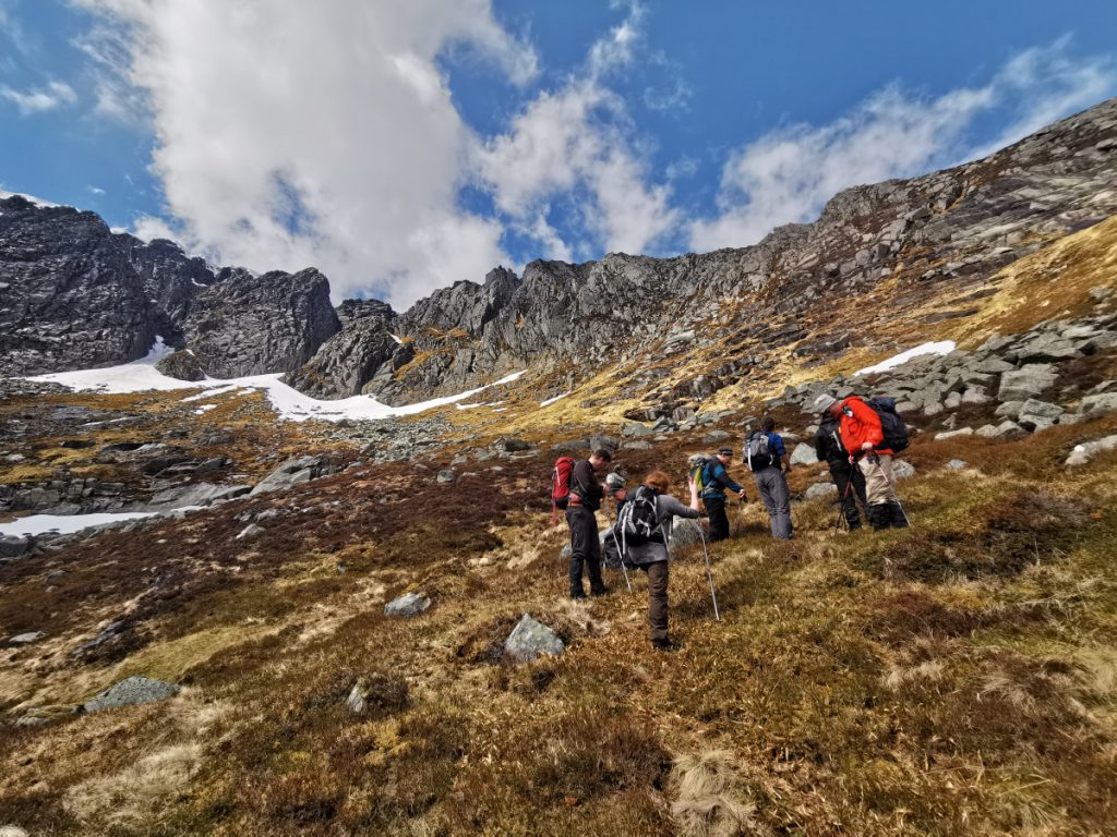
Making our way around the corrie, a grassy patch headed up steeply to the ridge seemingly providing relief from the more bouldery terrain further along. Half of us decided to go that way, the other half including me choosing a slightly longer, more bouldery but less steep ascent by heading further around the corrie before heading up. I reasoned that it’d be on the cusp of safe grip on grass higher up as it steepened, and better a known quantity over the boulders
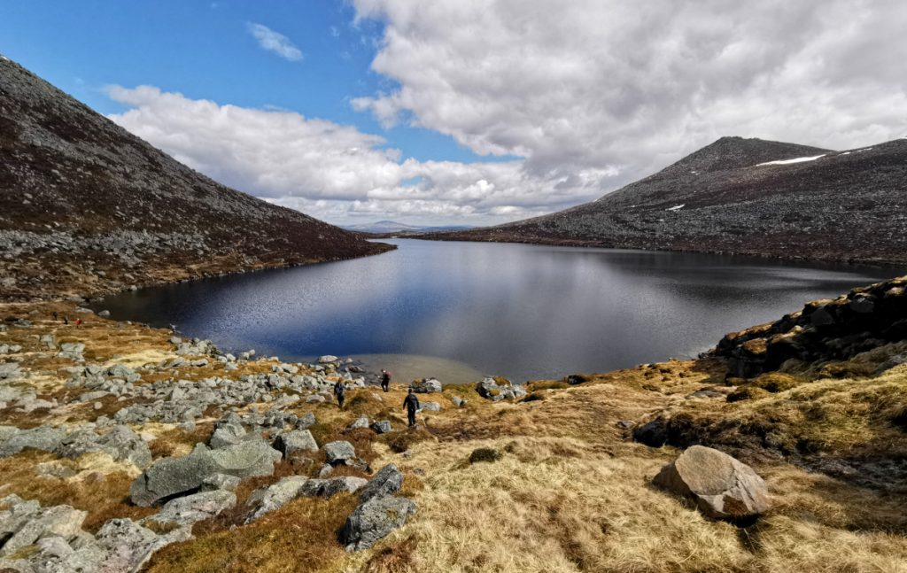
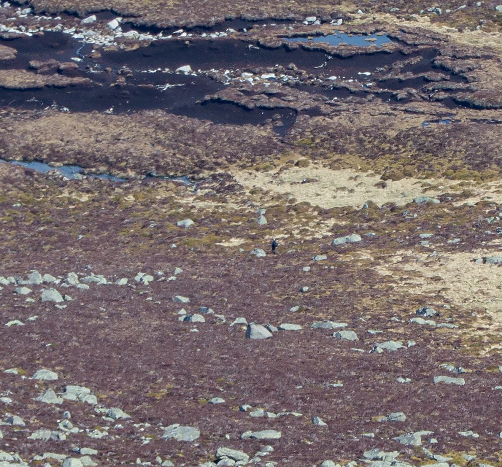
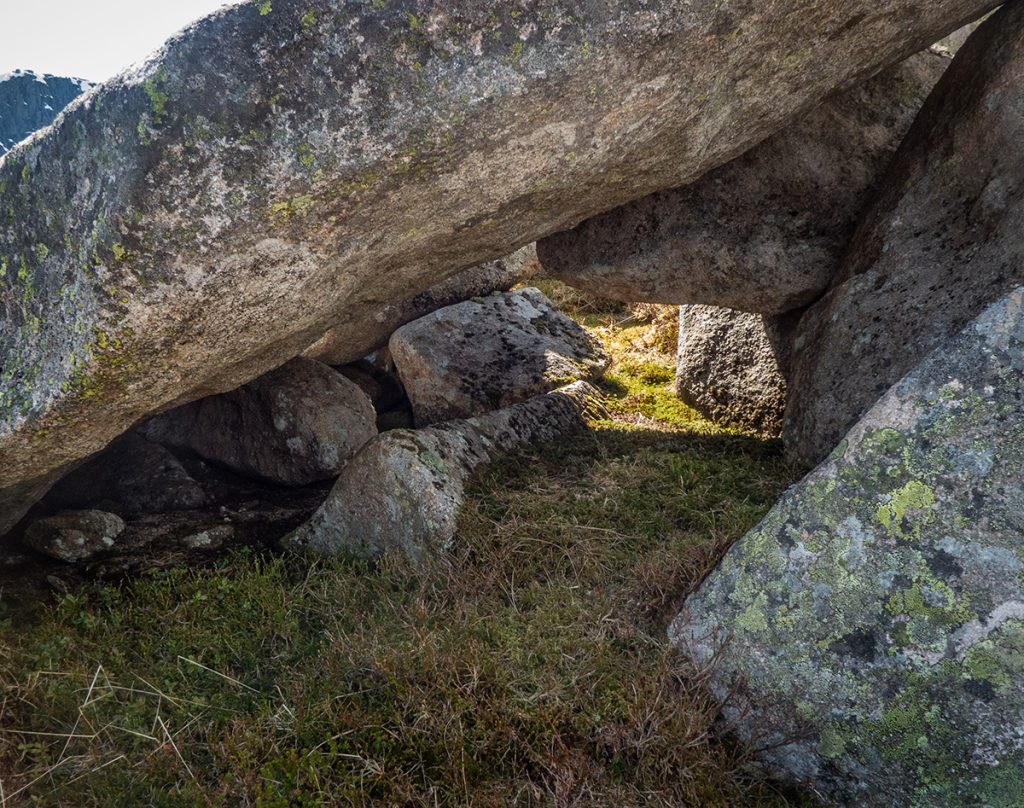
Two of our party weren’t ascending to the top, one was spotted below having a look at the various pools below the main loch and finding a small howff that exists amongst the boulders, the other stayed in the loch for a wild swim.
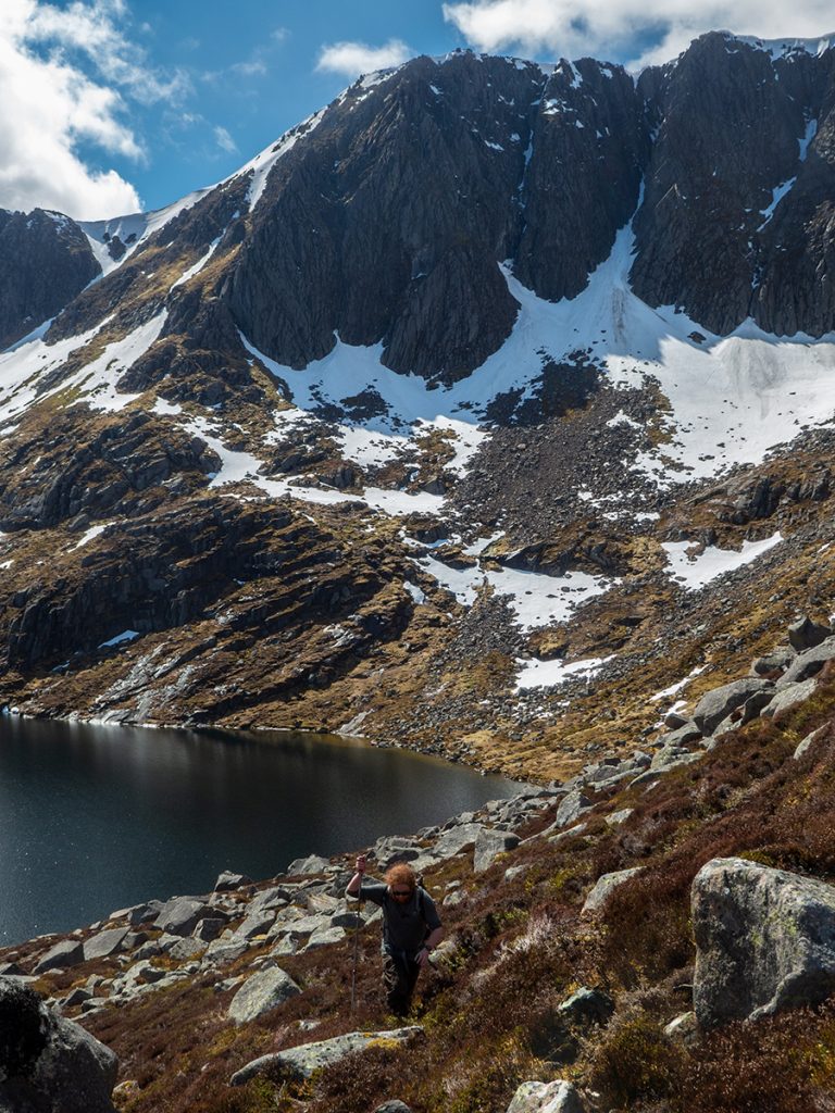
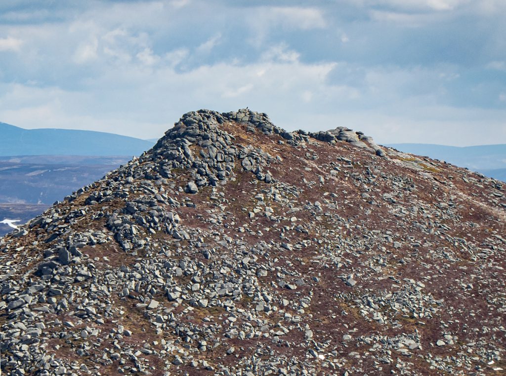
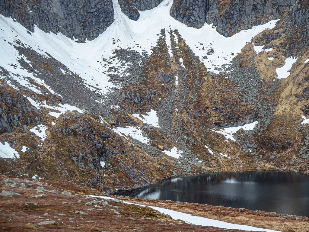
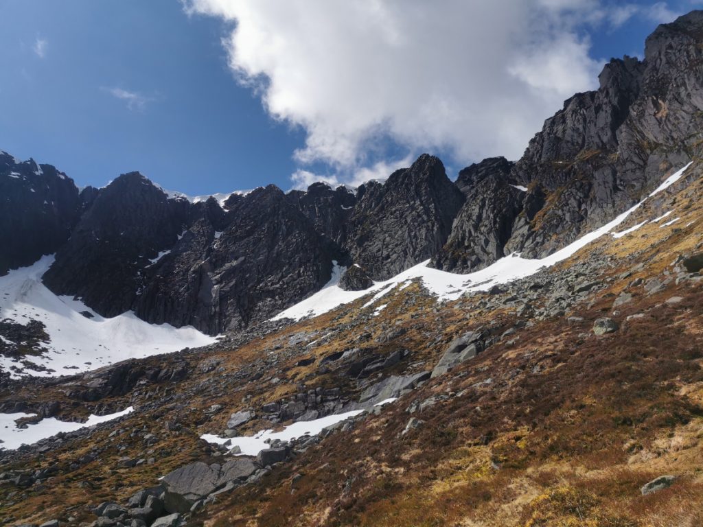
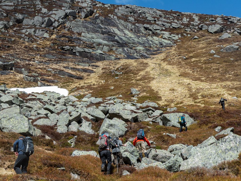
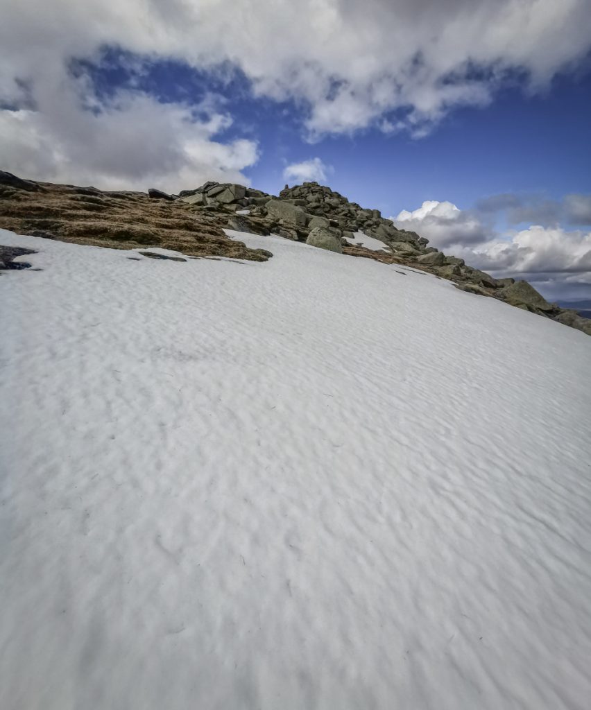
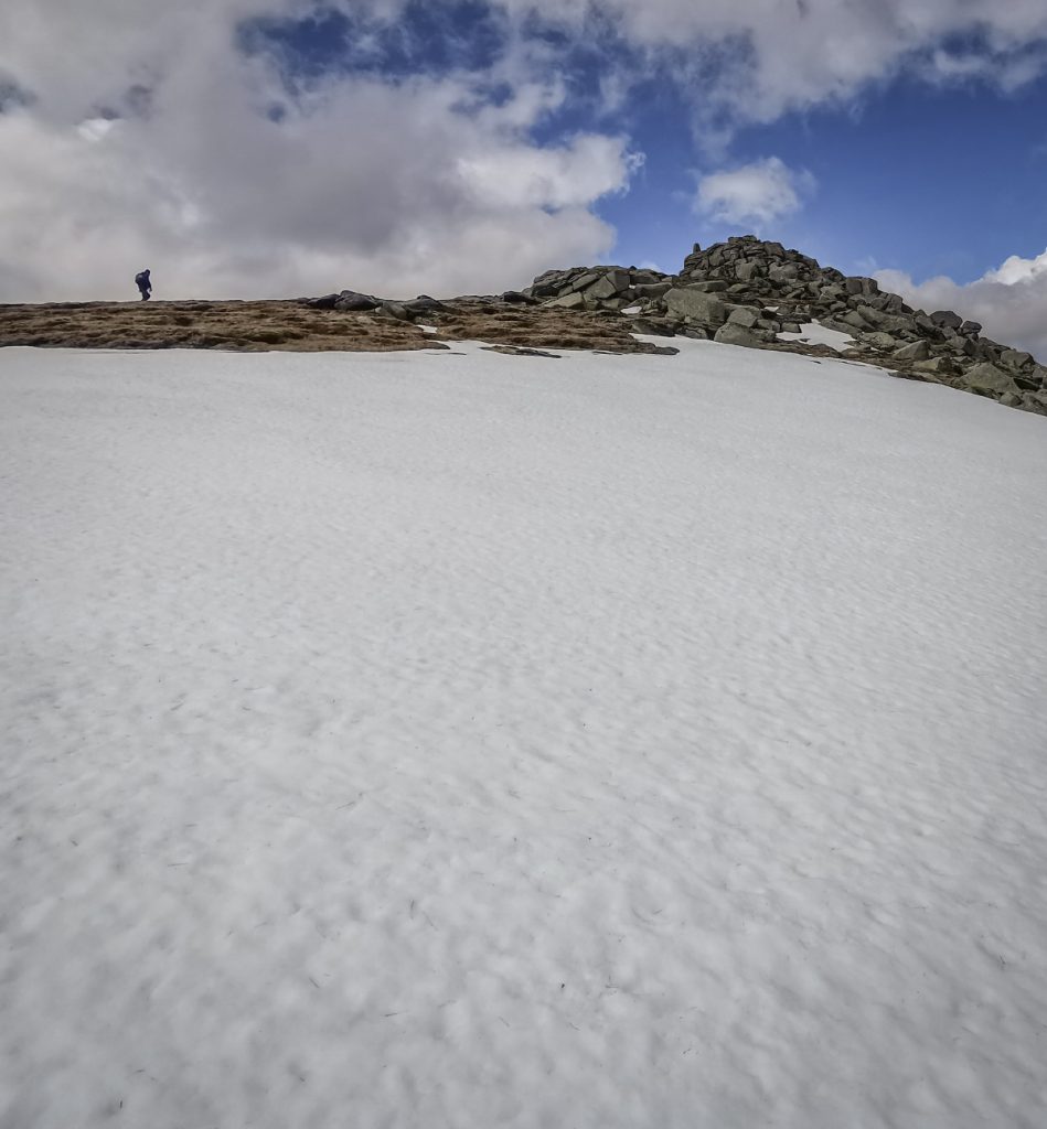
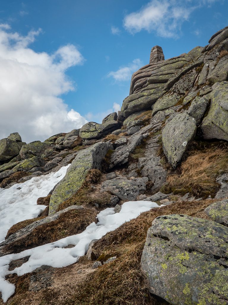
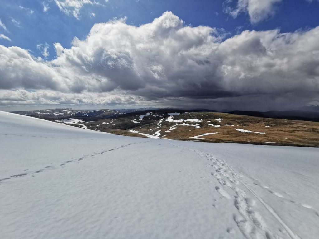
We rejoined our other half for the final ascent, there’s a scrape of a path winding steeply up around the boulders, but fortunately no major snow patches remaining (this would be a far greater challenge if so)
There was one patch just below the summit, but could be traversed around (I went through purely for a nice photo)
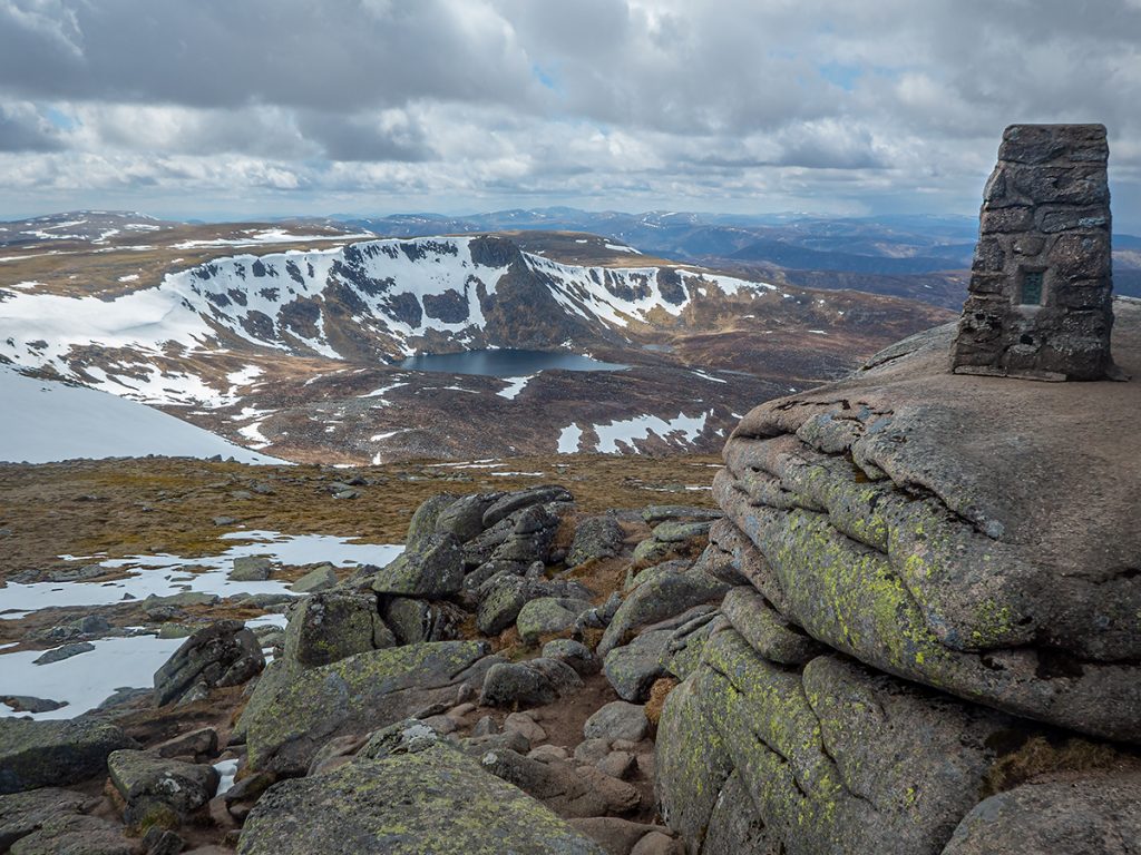
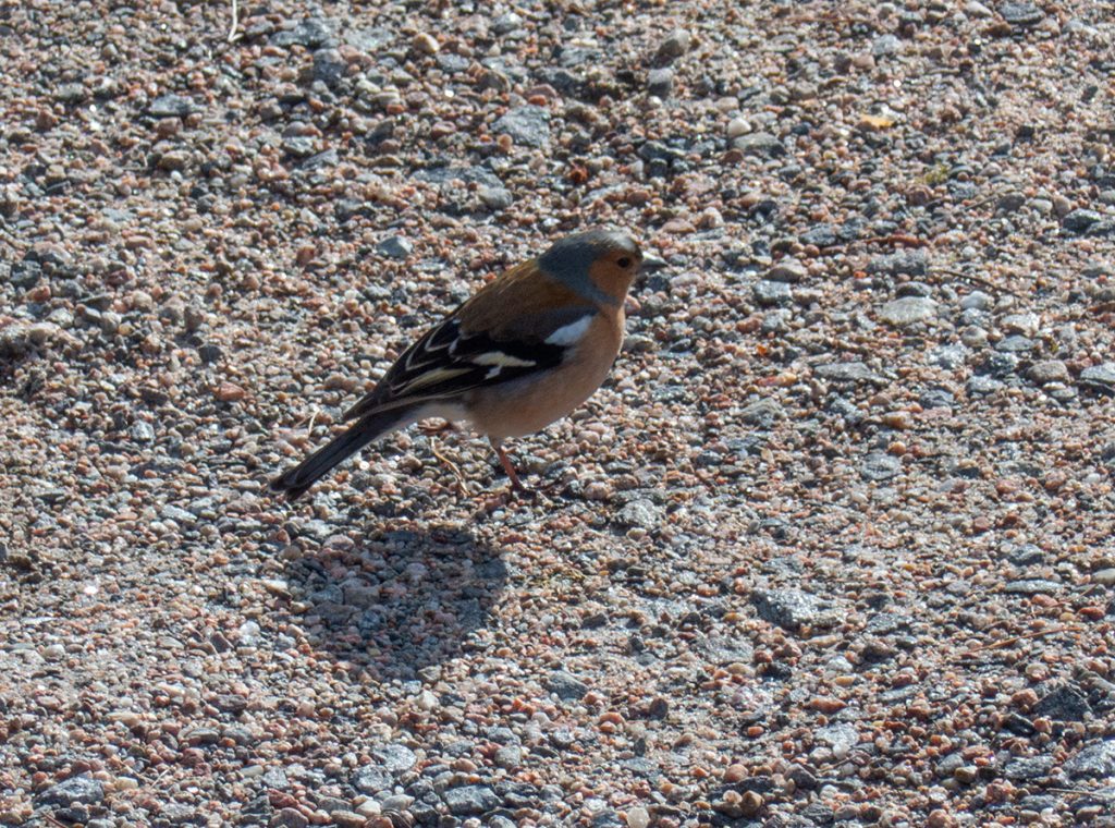
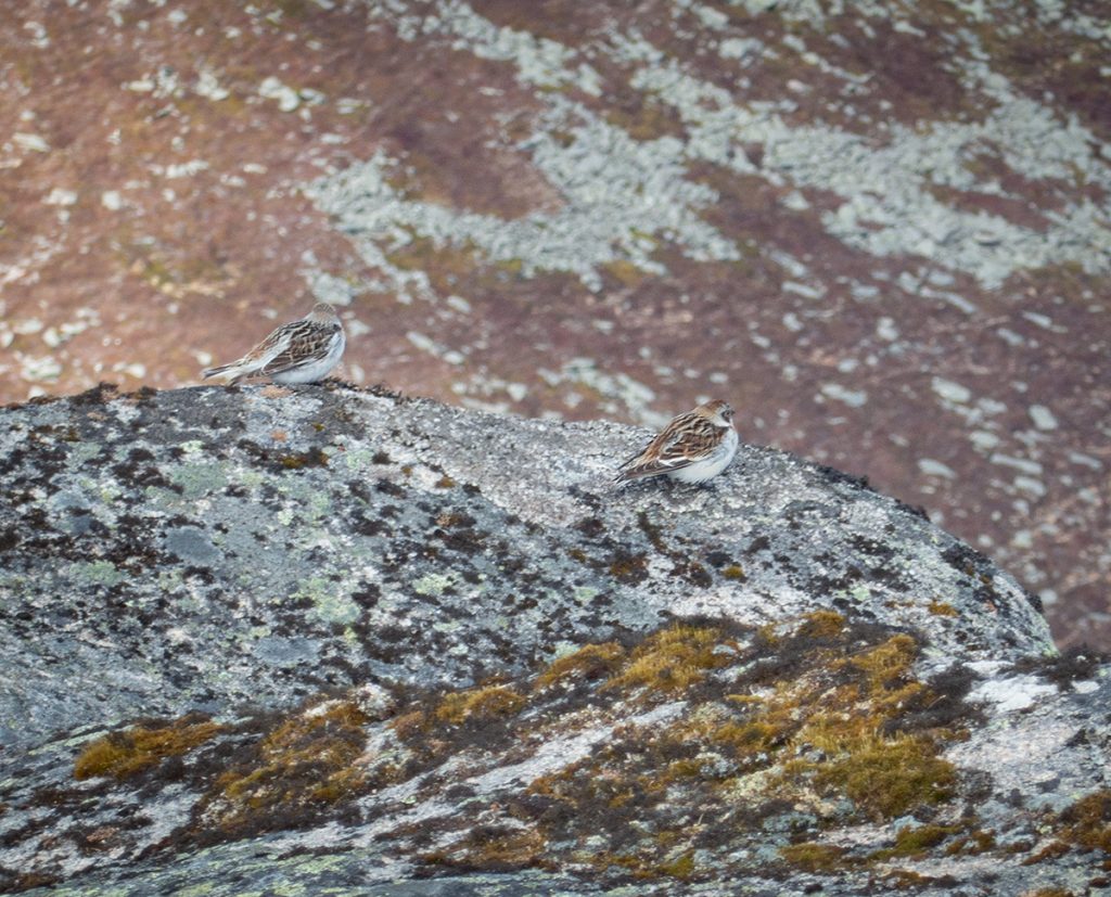
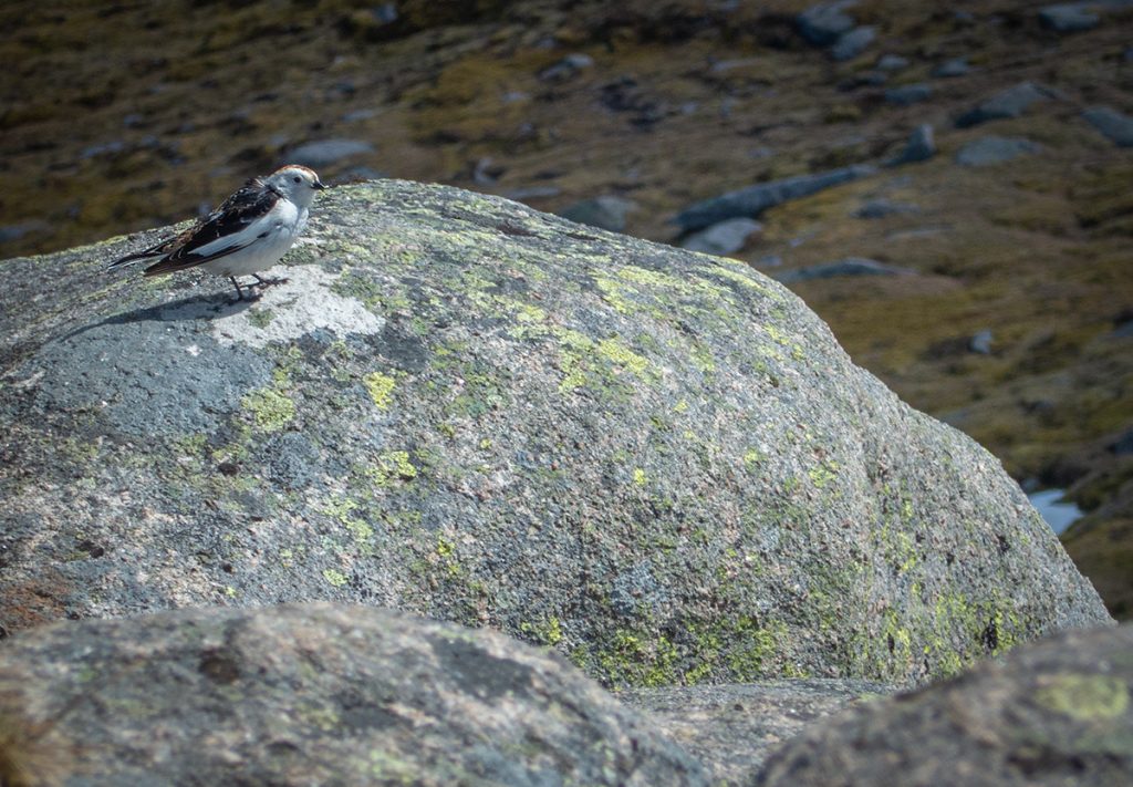
Well hidden on the outcrops around the top are a few Snow Buntings not taking much interest in the proceedings, except one cute extrovert (perhaps who has learned that hikers = crumbs) that was happy to chirrup and flutter around us at close range
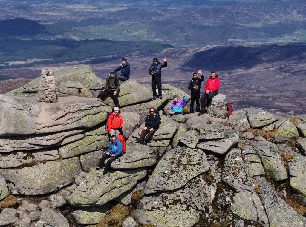
As we were alone at this point on the top, the drone was sent aloft once more and captured some really nice photos and video. Here’s the clip, courtesy of Alex Barbour:
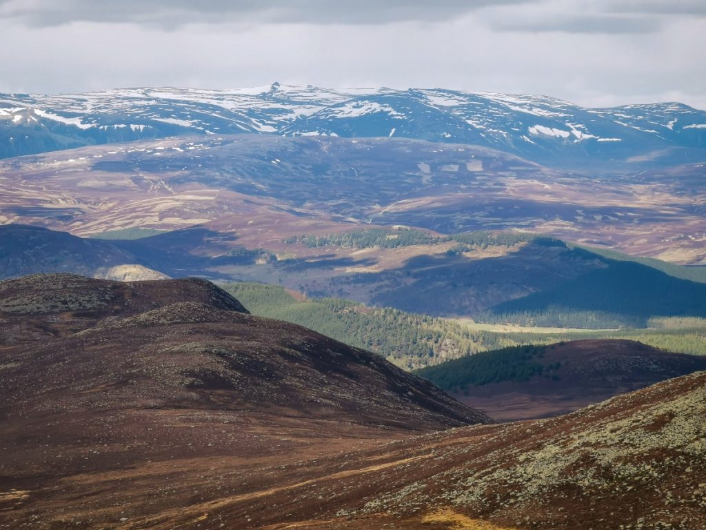
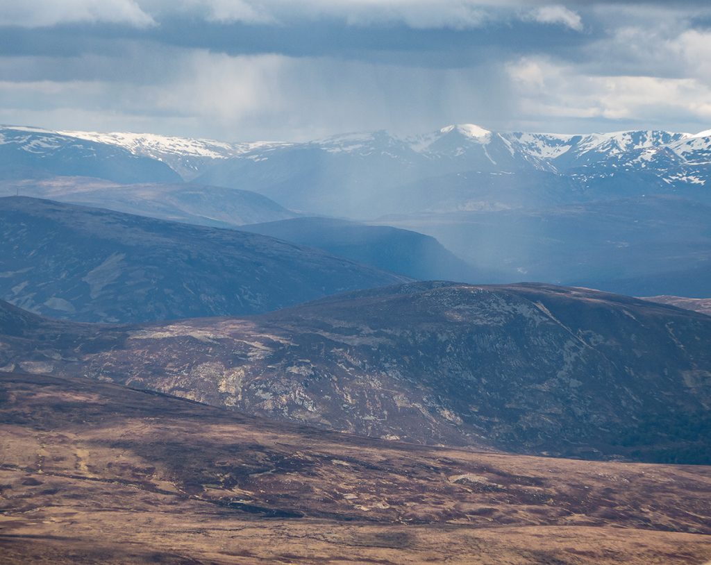
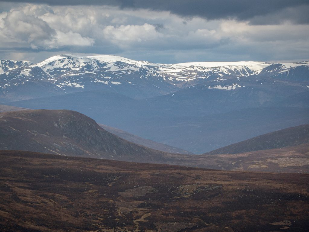
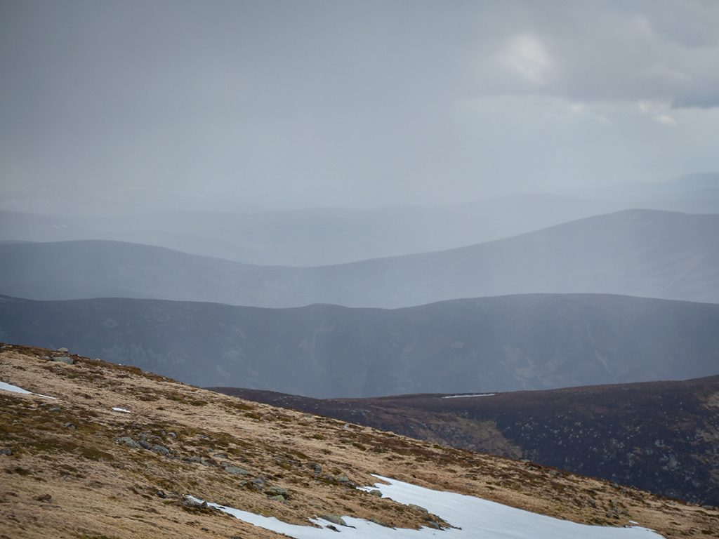
The weather was very still and warm for the top, but elsewhere there were signs of showers.
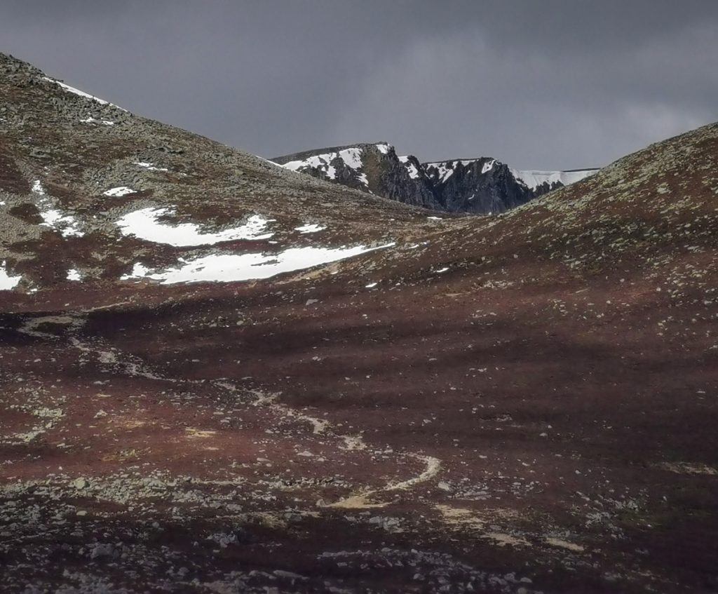
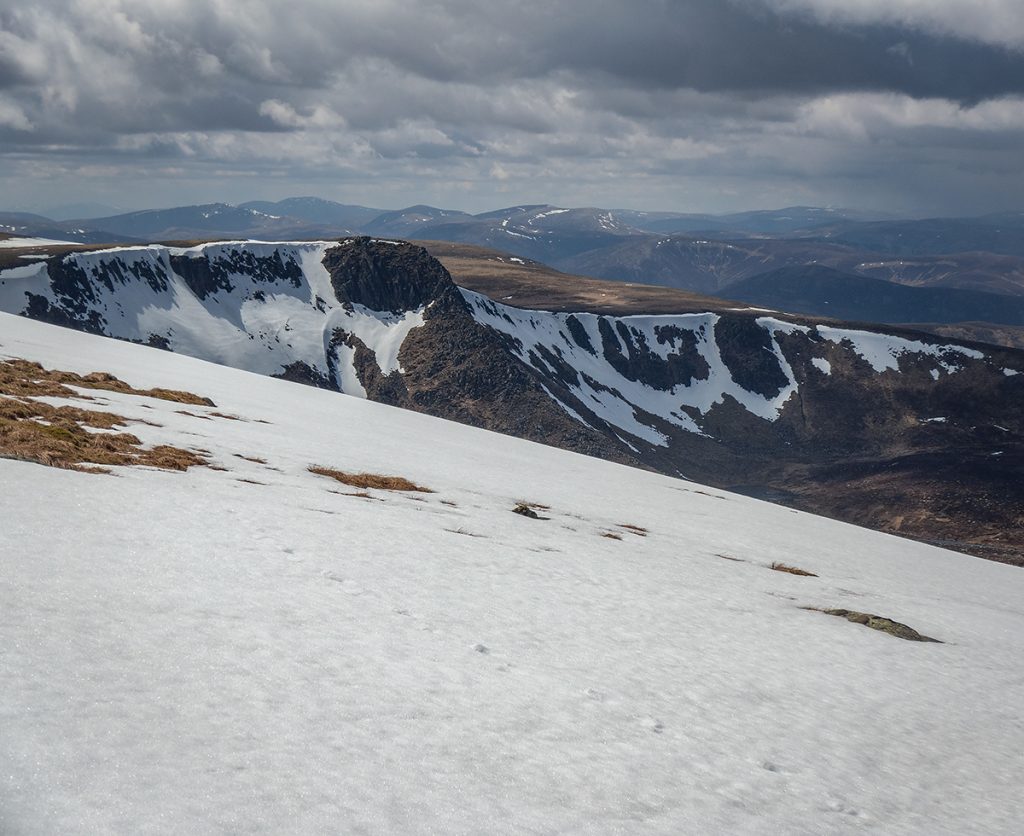
We headed onwards towards The Stuic, through some large snow patches unusually on north facing slopes (been a year where prevailing wind direction during snowfall hasn’t been usual)
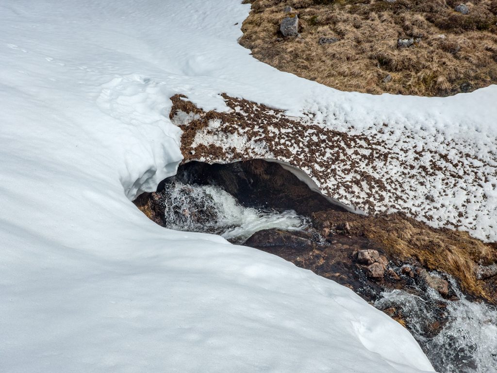
I noticed the burn here was largely buried under snow and had a nosey down to the outflow; sometimes there are spectacular sculpted snow tunnels, this looked too small to be worth attempting to enter
After finding the path that heads down from the col between Carn an t-Sagairt Beag/Mor we began the long descent to Ballochbuie – one of our party that had not made the ascent to the top had agreed to drive the minibus around so we could do a through route.

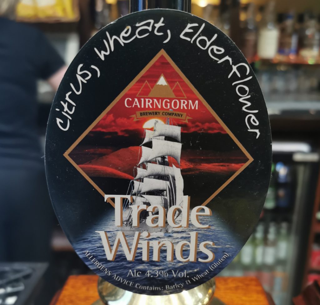
We met up at Keiloch and made our way home via Ballater, where it was nice to get some food and a beer. Been a while! I was glad to see Cairngorm brewery on draft (it’s disappeared out of the local supermarket on bottles). This one though is definitely better in bottle, a bit flat out of the keg. Delicious and well earned nonetheless after 23km, 1000m ascent and an 8 hour walk (albeit with quite a few social breaks).
Afterwards i went and checked the previous route to see why I thought it had been easier – we’d not descended to the loch, but had contoured around higher
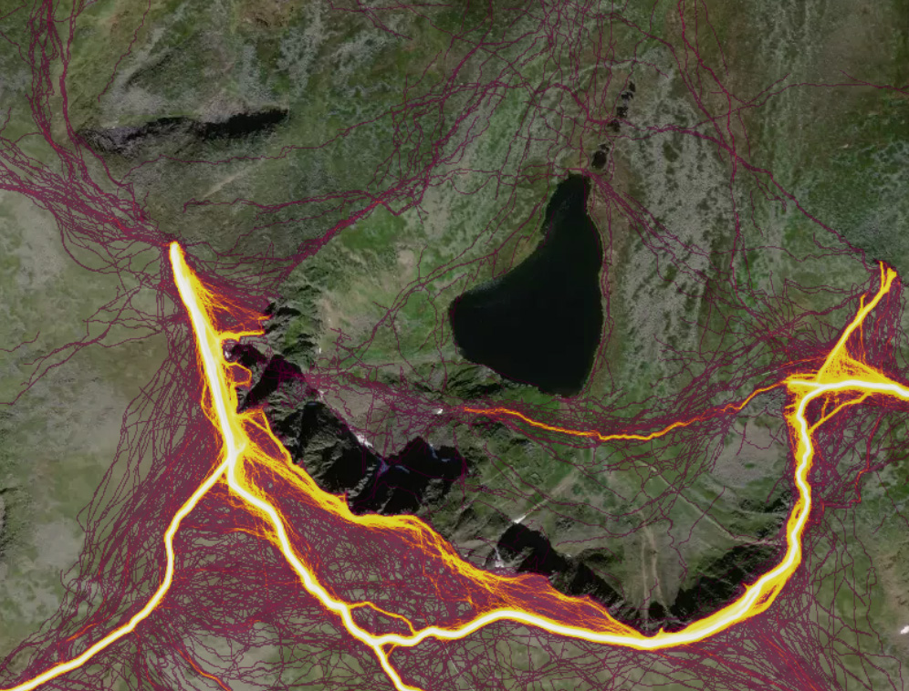
I was also interested to see if “Ivan’s route” was done by many – according to strava heatmap, not really. Most people heading to the rescue post dissipate into the cliffs and gullies (climbers?). Not many going along the NE ridge but a surprising amount on the NW.
The day’s route as a 3d flythrough