Into October and away to Glen Clova for a through-route: a “well-known high-level route linking Glen Clova to Glen Callater and Braemar”. It’s a significant trail: back in 1887 the landed classes weren’t keen on public access, but a court case won by Jock and the Scottish Rights of Way Society designated it a right of way, without which Scotland’s accessibility for outdoor pursuits would have probably headed in a far more restrictive direction.
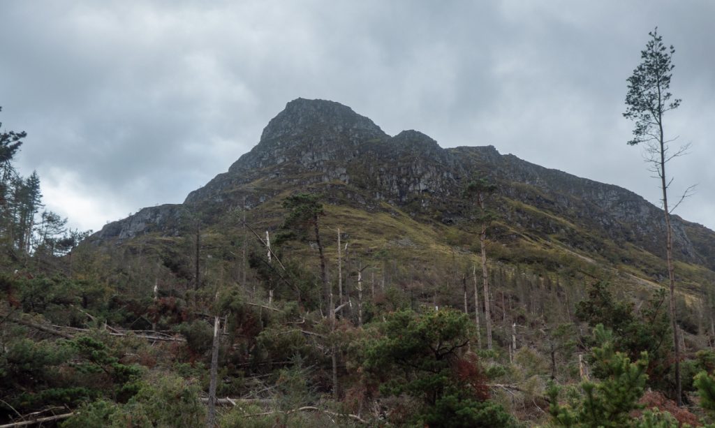
There had been a lot of rain a few days before, but the sun was out as we headed off. A small part of the route right at the start is still blocked with fallen trees (9 months after the storm.. fair to say the forestry powers-that-be in the area are obtuse in providing for recreation)
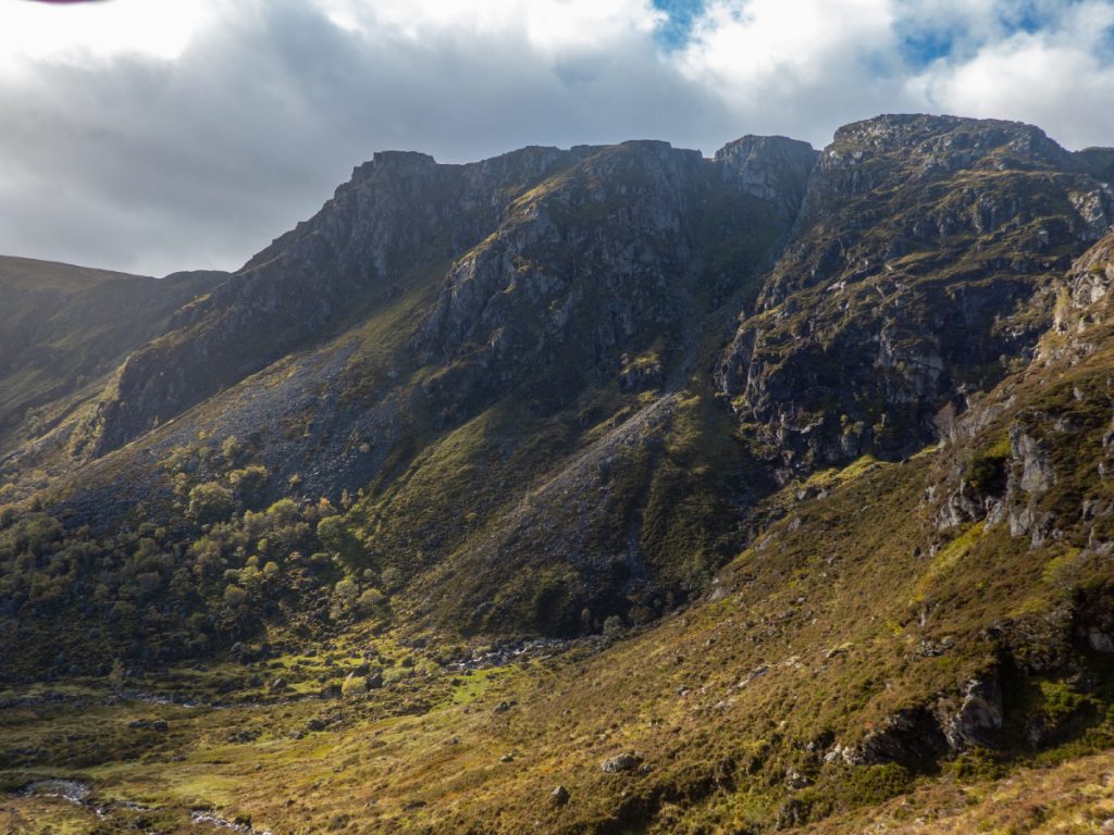
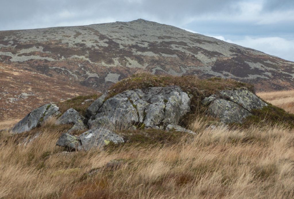
Some area had suffered bad storm damage, trees snapped like twigs.
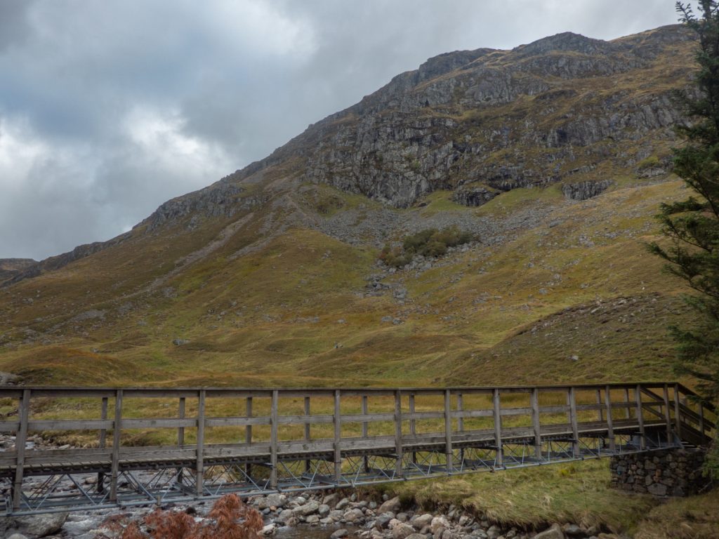
The detour provided some good views and we rejoined the “road” across a footbridge.
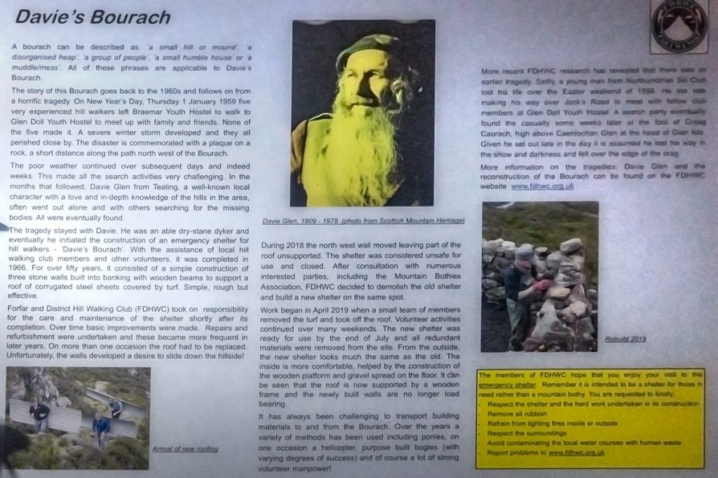
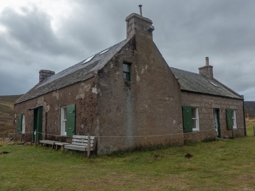
Davy’s Bourach came into sight, a small shelter built by the legendary Davy Glen after a tragedy back in the 50’s when five youngsters perished attempting the opposite direction of the route on a new year’s day in severe winter conditions.
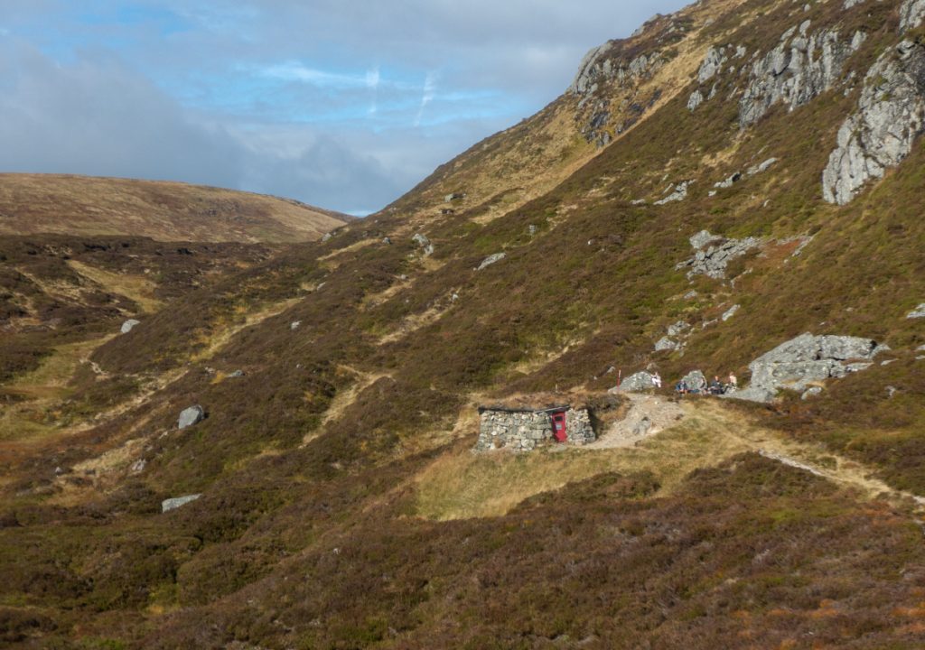
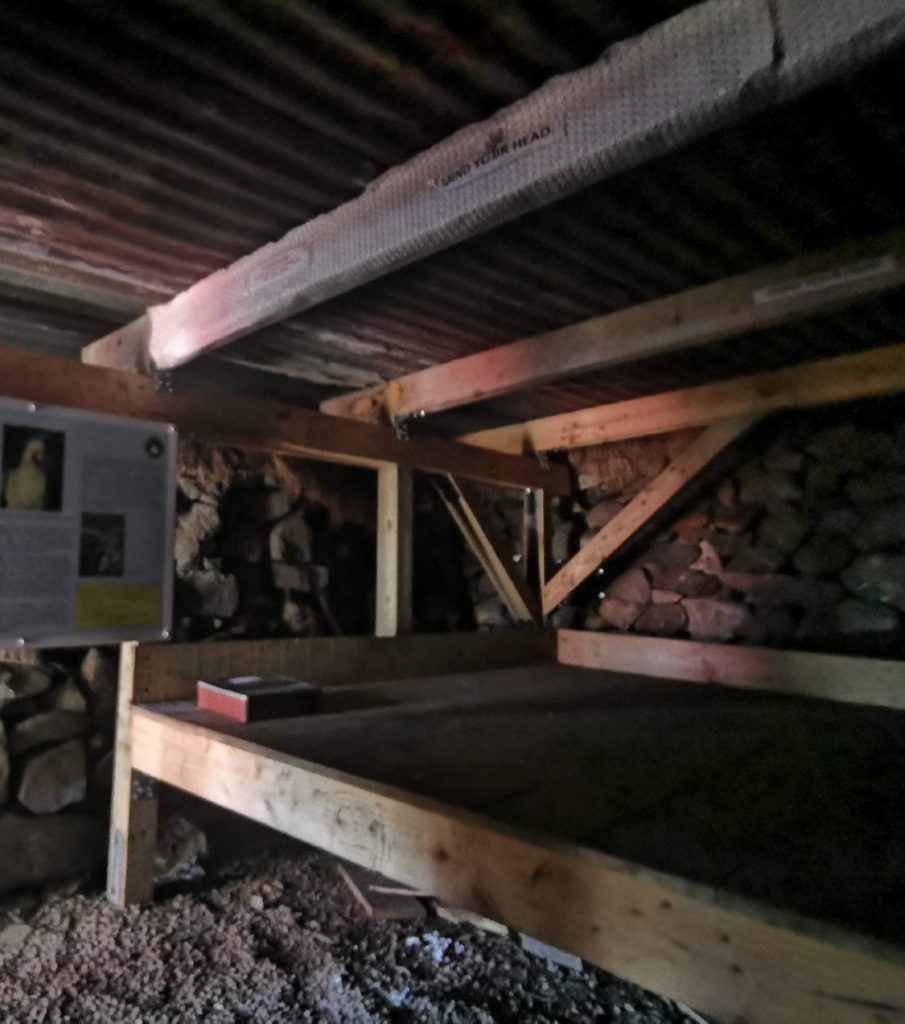
After cutting up and back to the nearby viewpoint, we headed into the bourache and with the aid of head torches had some snacks inside. It’s been refurbished since I was here last, when it was leaky, muddy and the wind whistled through: now it has a new roof, a gravel floor, a sleeping platform and is a lot more solid albeit still dark.
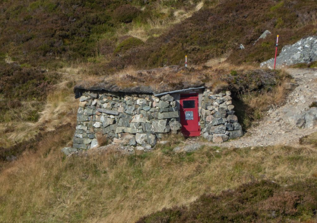
The roof has poles sticking out with reflectors attached and bold labels “DAVY’S BOURACHE” and “EMERGENCY SHELTER” in case the howff becomes buried by snow or found by those in dire need and perhaps tired and confused.
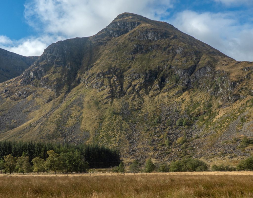
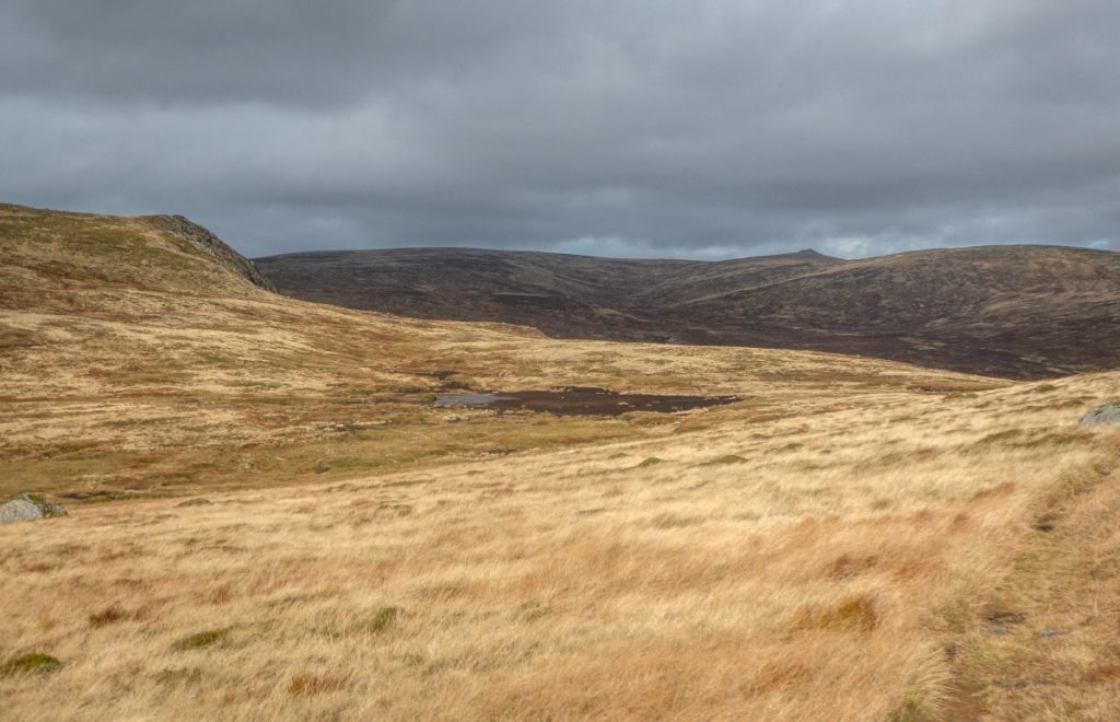
We headed onwards onto the sweeping curves of the plateau. One of our group, keen to bag tops, headed off to Tom Buidhe, whose boggy approaches I declined today, but I would take in the more minor detour of munro Tolmount.
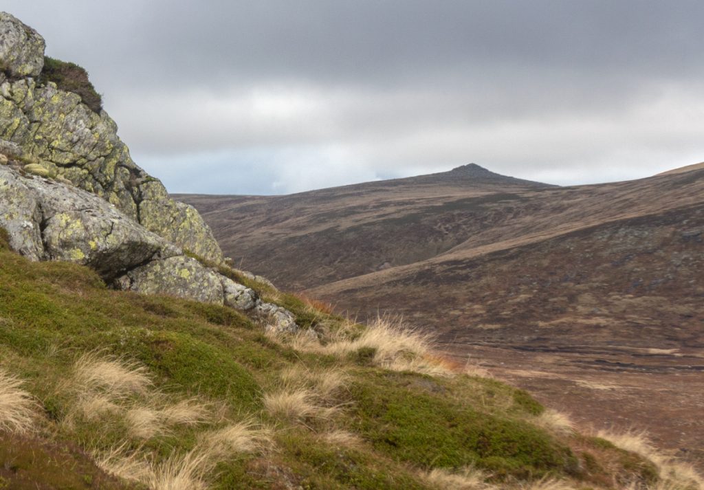
There is a path not on the map that turn’s off Jock’s road, but we cut the corner ( a bit too much: a burn steeply inclined was crossed which on the map you’d be none the wiser due to lack of contours). The wind at the top of Tolmount was whistling past and we sheltered in the lee to await our bagging friend.
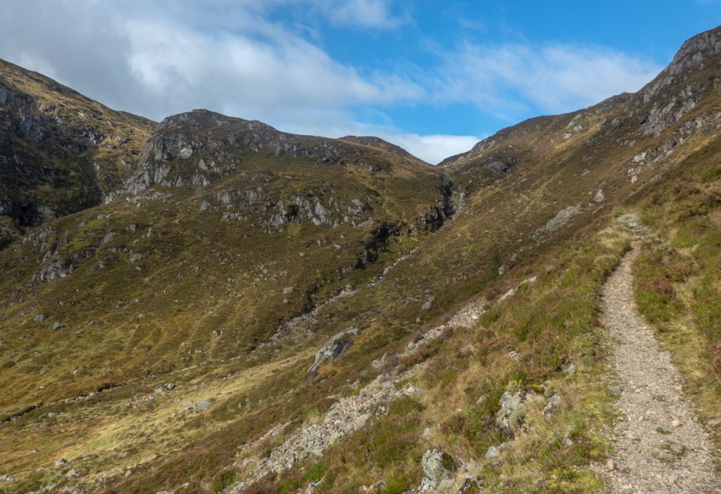
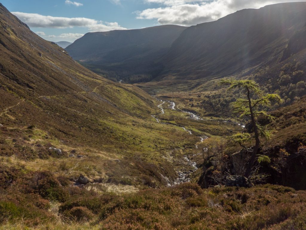
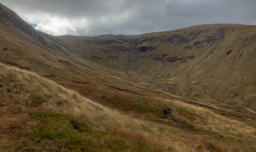
Rejecting the other unmapped path, we headed a north-east until the steeps allowed a view to Glen Callater: you miss out on the best view if you take the path directly. It doe get steep though and we threaded around a few rocky outcrops.
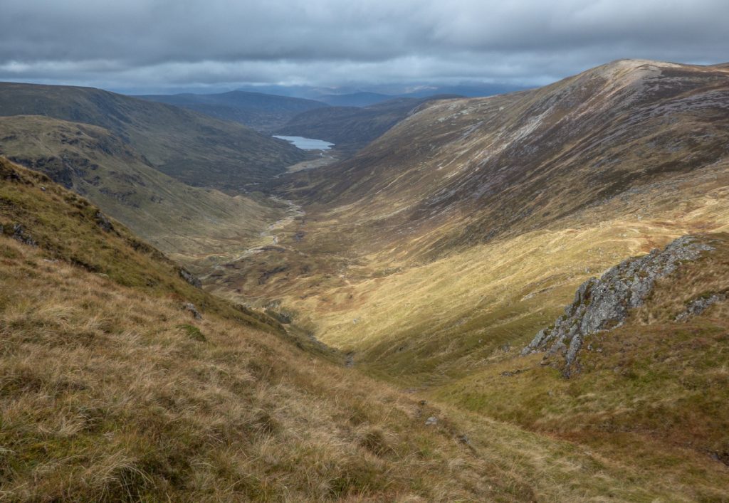
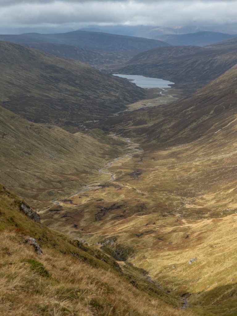
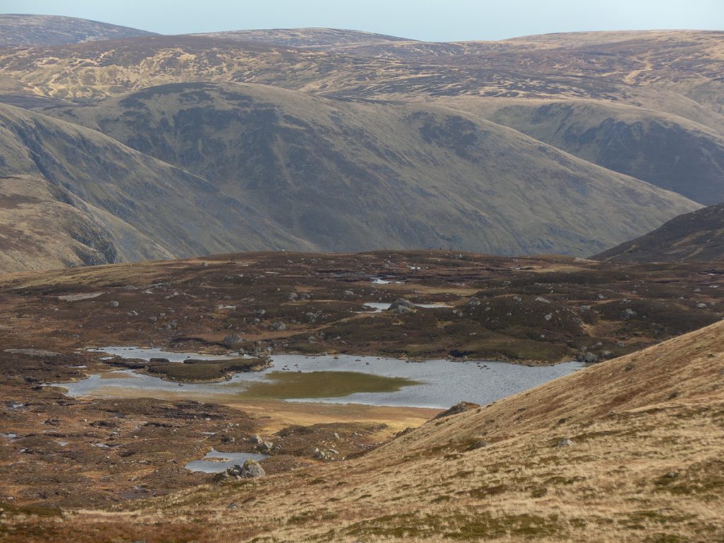
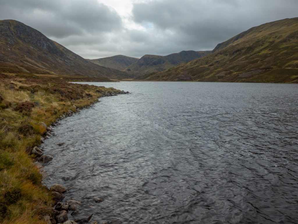
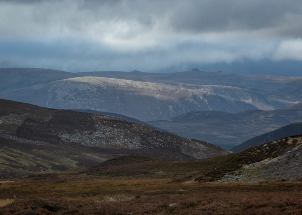
Looking down Glen Callater from Tolmount
Stage were roaring across the glen and we stopped occasionally to see, not very successfully until a pair of binoculars were used.
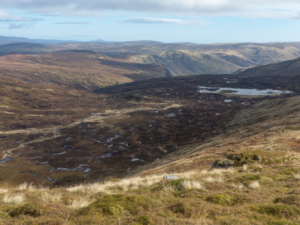
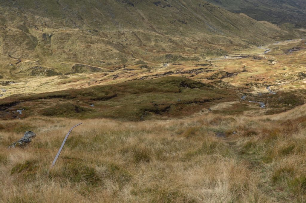
The path down to the glen floor is grassy and faint; you can see on strava heatmap from the ‘braiding’ that many folk don’t see it and pick a way through the rivulets, bog and grassy hummocks. A few above us who had found some steep rocky terrain watched our progress before correcting their descent.
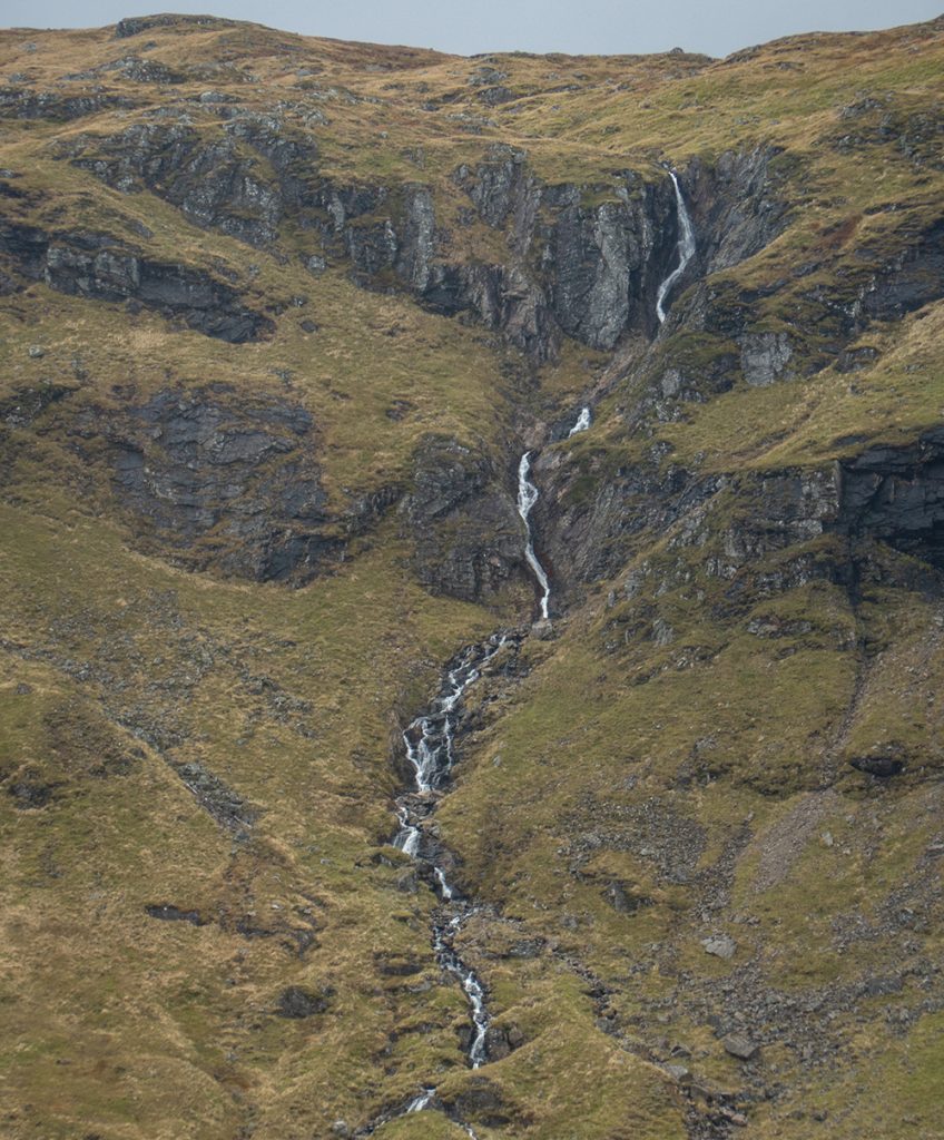
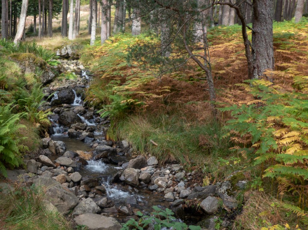
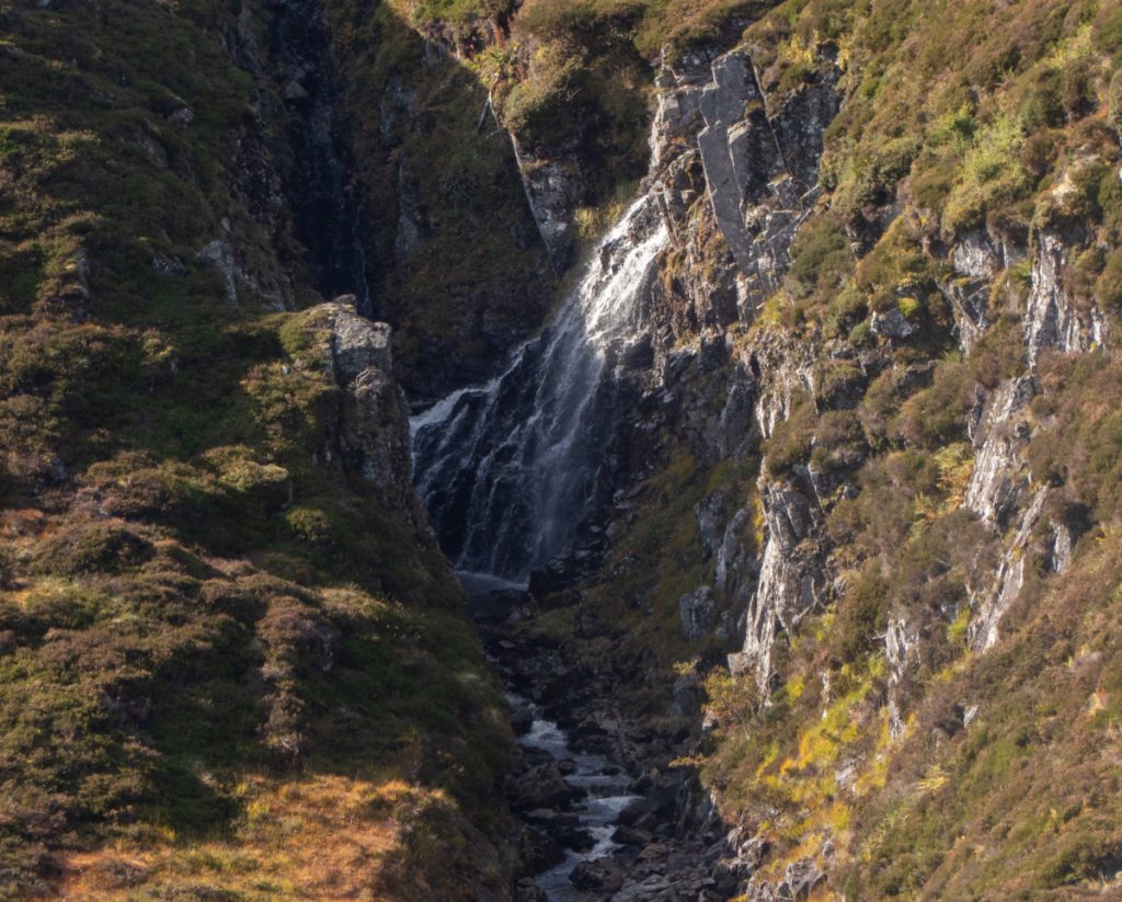
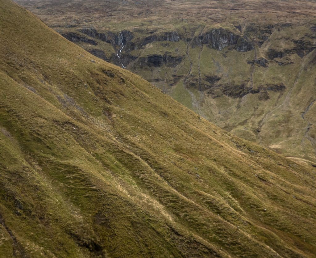
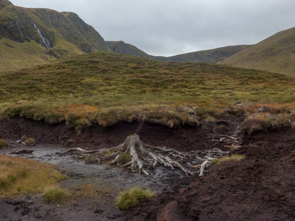
We wound through the glacial moraines and drumlins taking in the crags and waterfalls. The old stumps eroded from bogs catching light after 1000s of year of darkness buried in the bog.
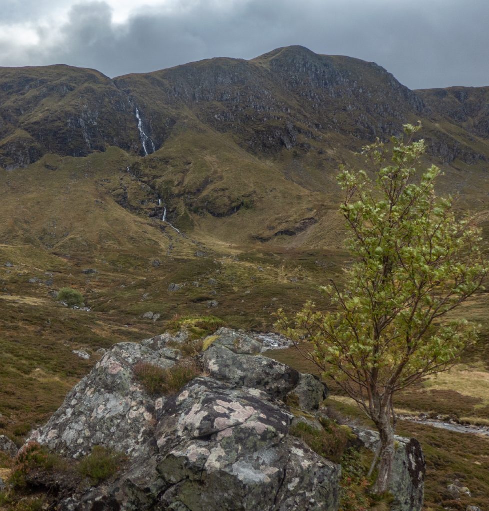
I approached the singular tree of the upper glen (an unlikely oak from the leaves I think, it grows from a gap in the boulder) this time deciding on an angle across towards the crags near Coire Loch Kander. One day I’ll get the right light (and maybe time it for autumnal leaves, just a bit too early). I snuck a couple rowan berries, an acorn and a hazlenut into the soil nearby. It would be nice for this lonely tree to have some friends; though the huge amount of deer here will likely doom any new growth.
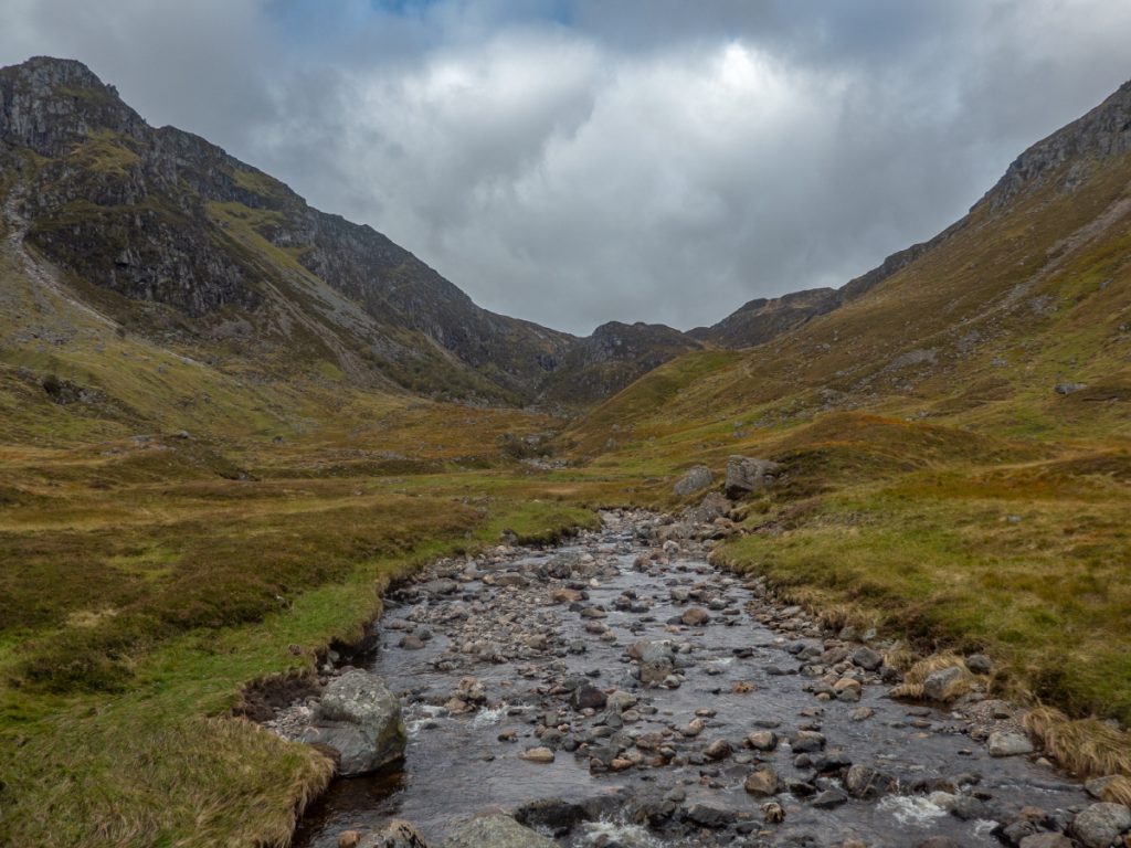
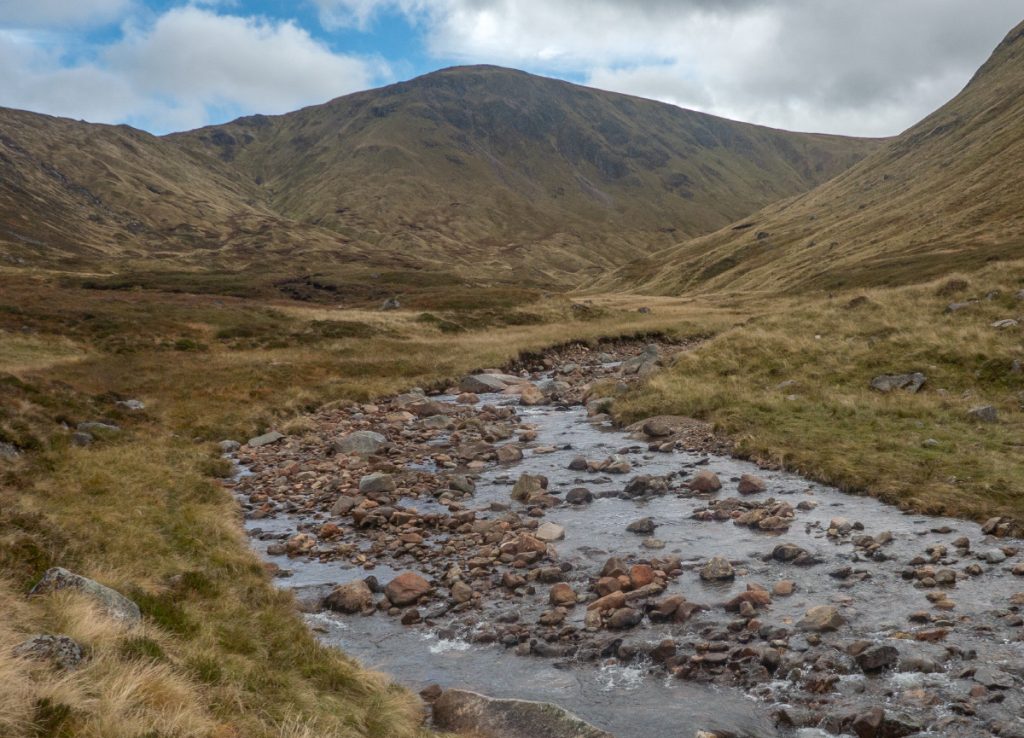
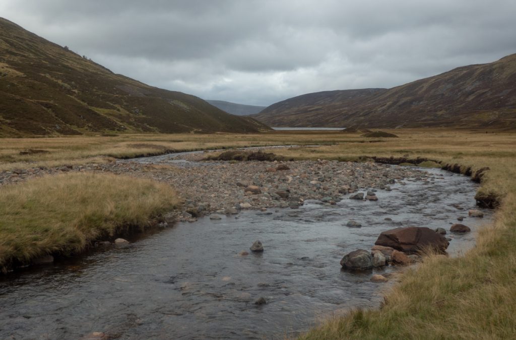
Into the wide grassy sweeps of the burn, fortunately the water had subsided just enough: this can be a flood plain and there was flood debris along some of the track.
Some of the group crossed the ford at the head of the loch to the landrover track on the west side: it’s an easier route but less scenic, I stuck with the windy path on the east.
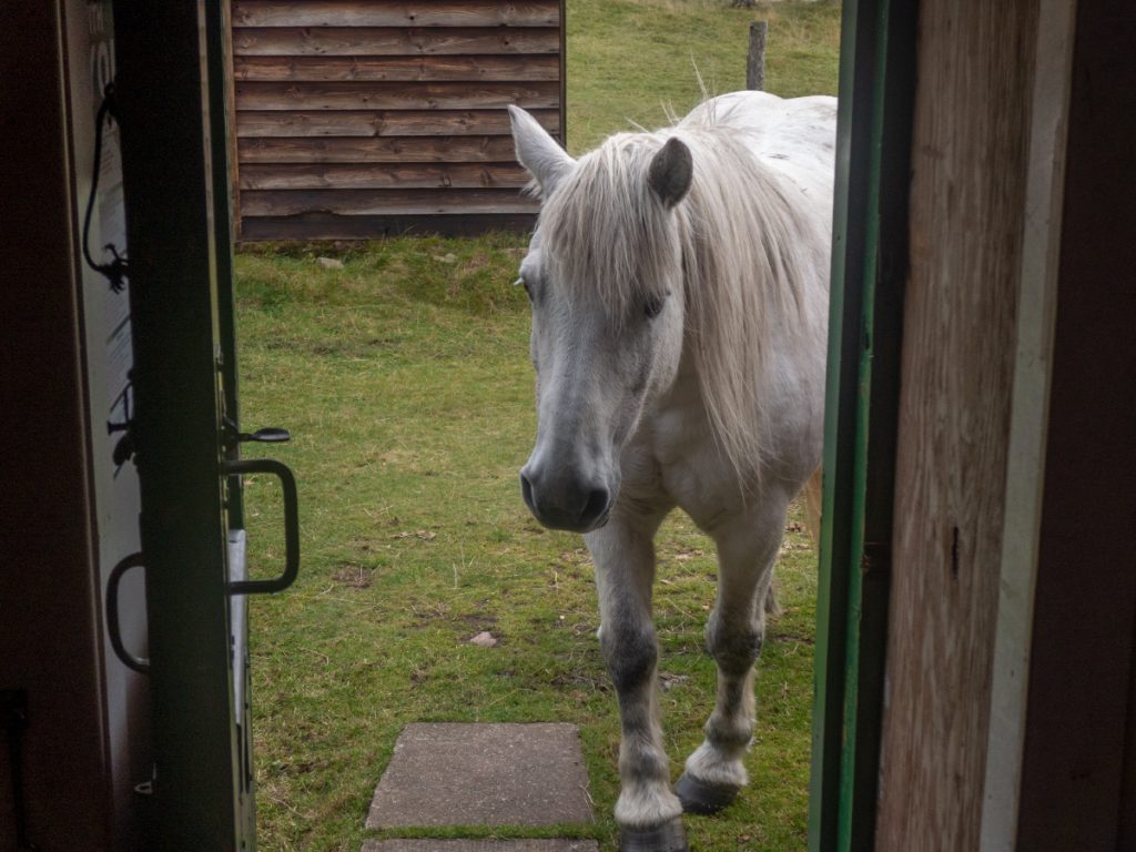
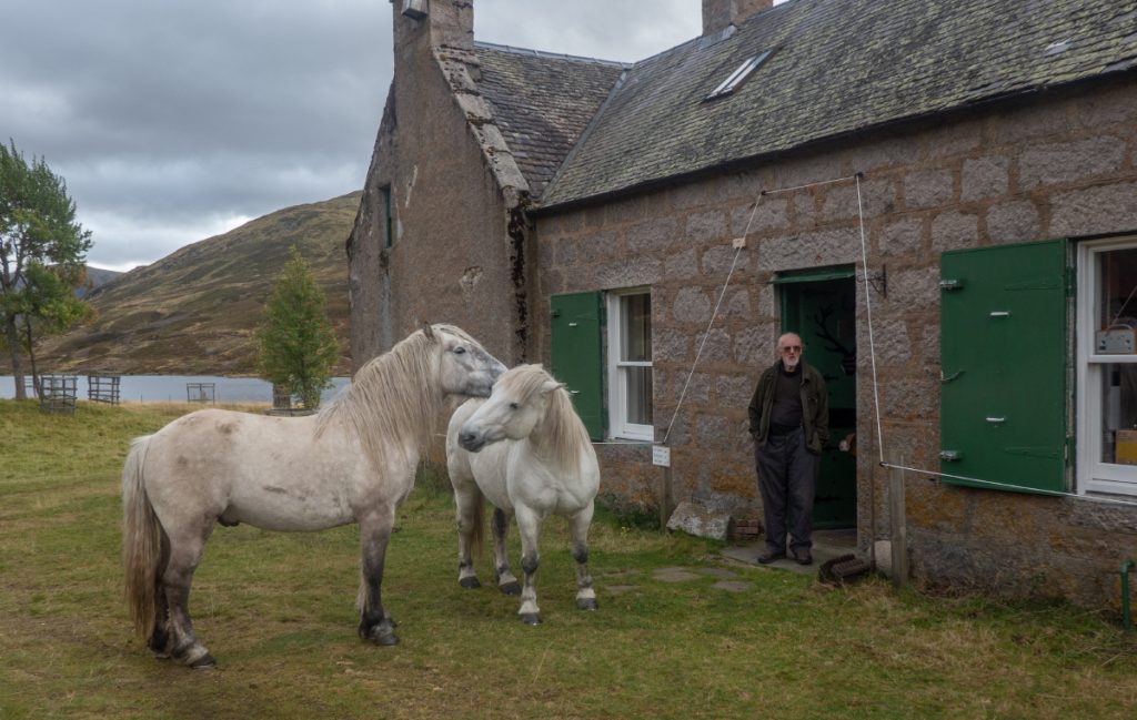
The lodge had an electric wire around: the deer stalking ponies are relentless in munching anything they can reachL the bothy window frames are protected with metal strips, and seeing people inside were keen to investigate for snacks.
I was pleased to see the chap that looks after the lodge on the go: years earlier on a foul winter day he’d invited us in to get warm and we enjoyed a whisky. His huge Rhodesian ridgeback dog was also still present albeit blind; but still could sense and growl at the ponies
We didn’t daly today, keen to get back on a long day and maybe have a pub stop on the way back. The track from Loch Callater is 5km of easy going, but sometime when tired can be a killer. Today it passed quickly in conversation and with some time to kill before the slower walkers reached Auchallater, some bimbling along the river was undertaken.
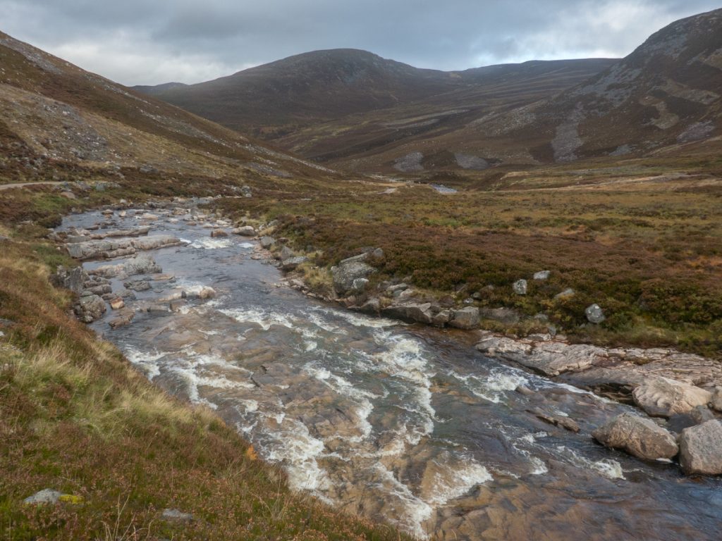
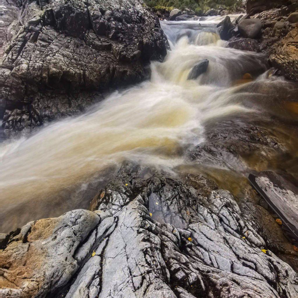
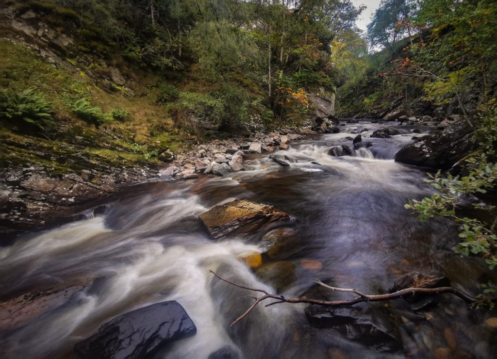
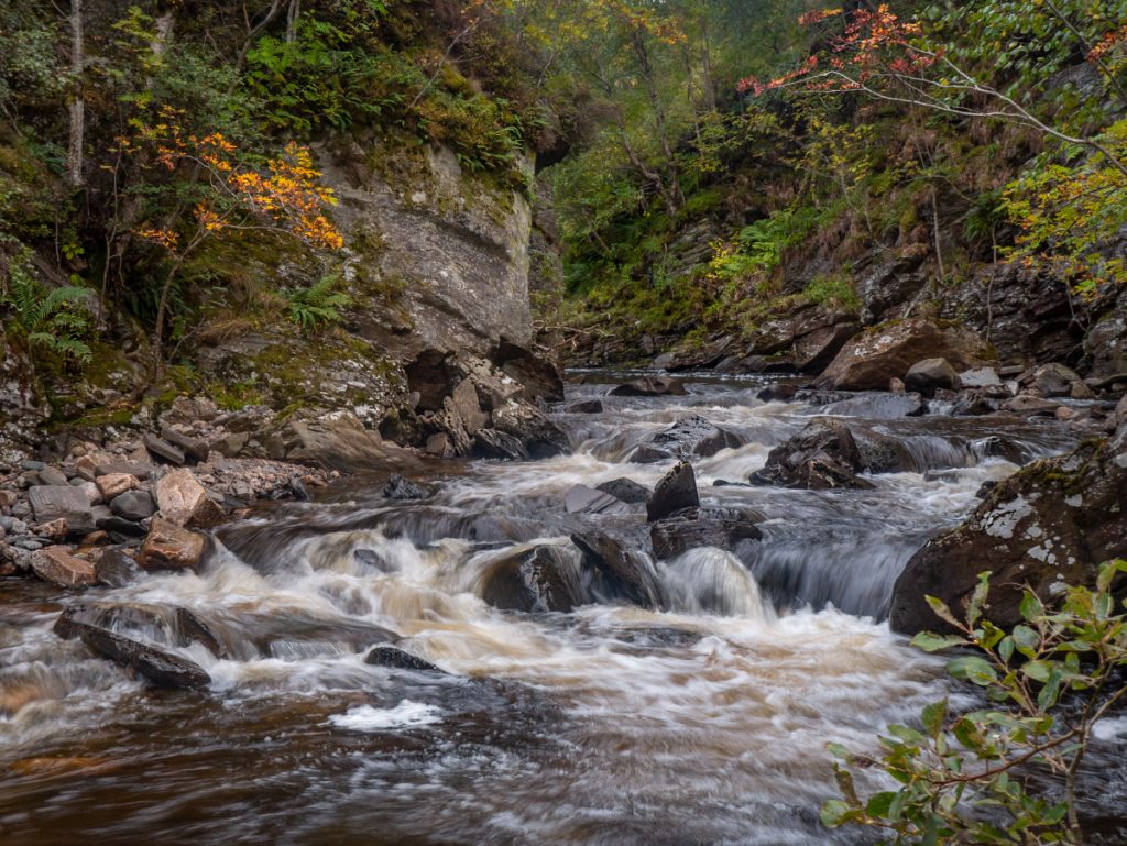
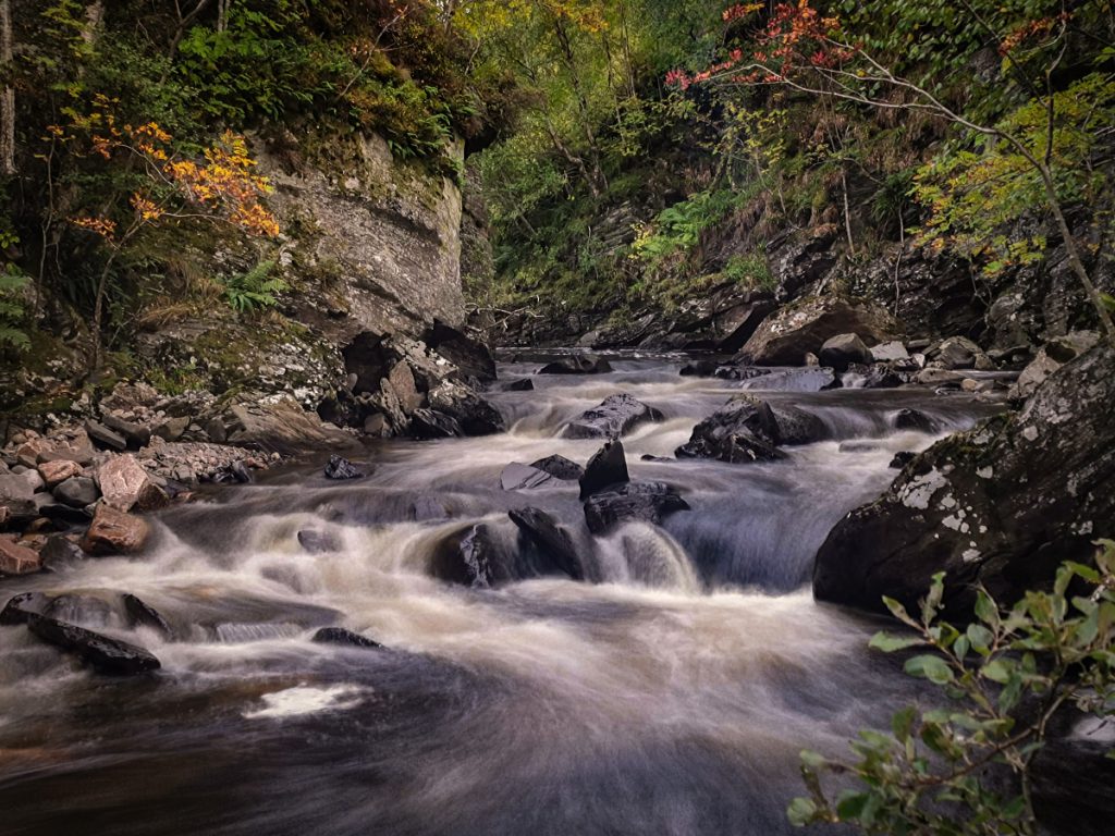
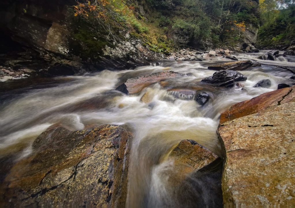
Near the car park there’s a few small falls tucked away, and I climbed down at a few points to take some shots. The light was beginning to go, I’ll need to have a look at the photography lighting app I use: I wonder if there is a time of day in the autumn when this stretch is well-lit.