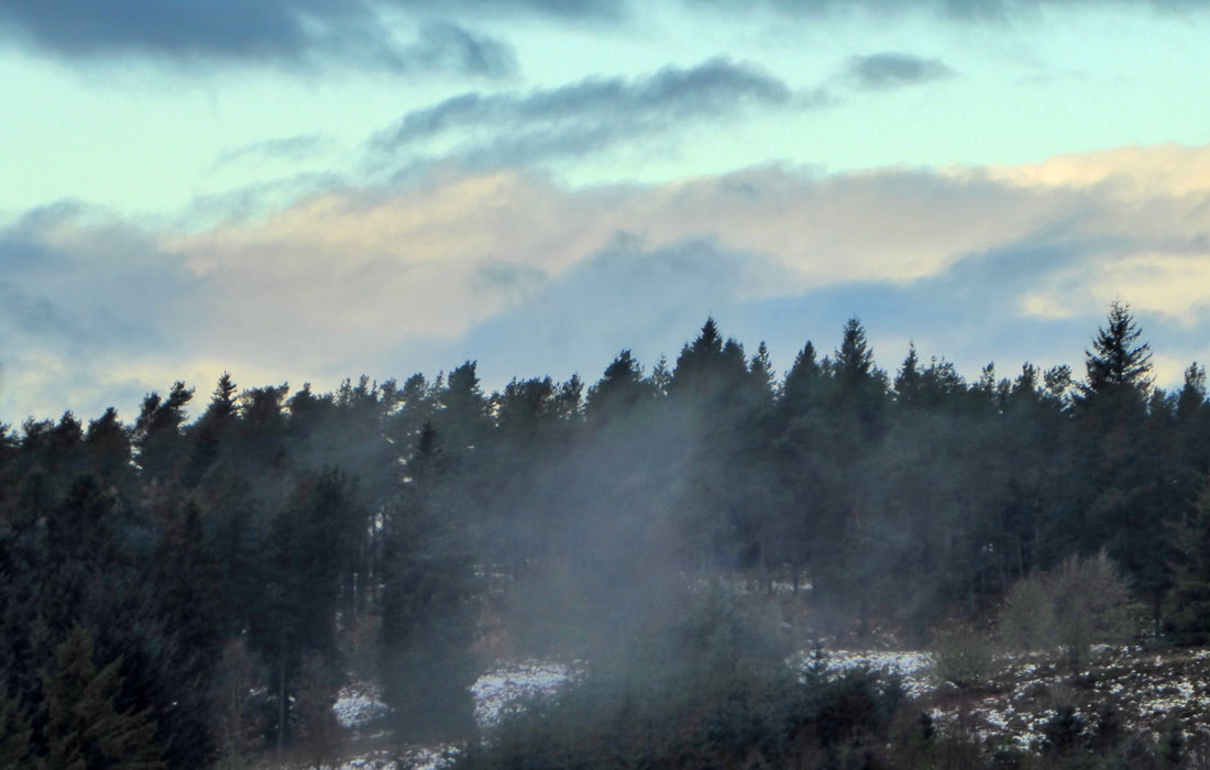
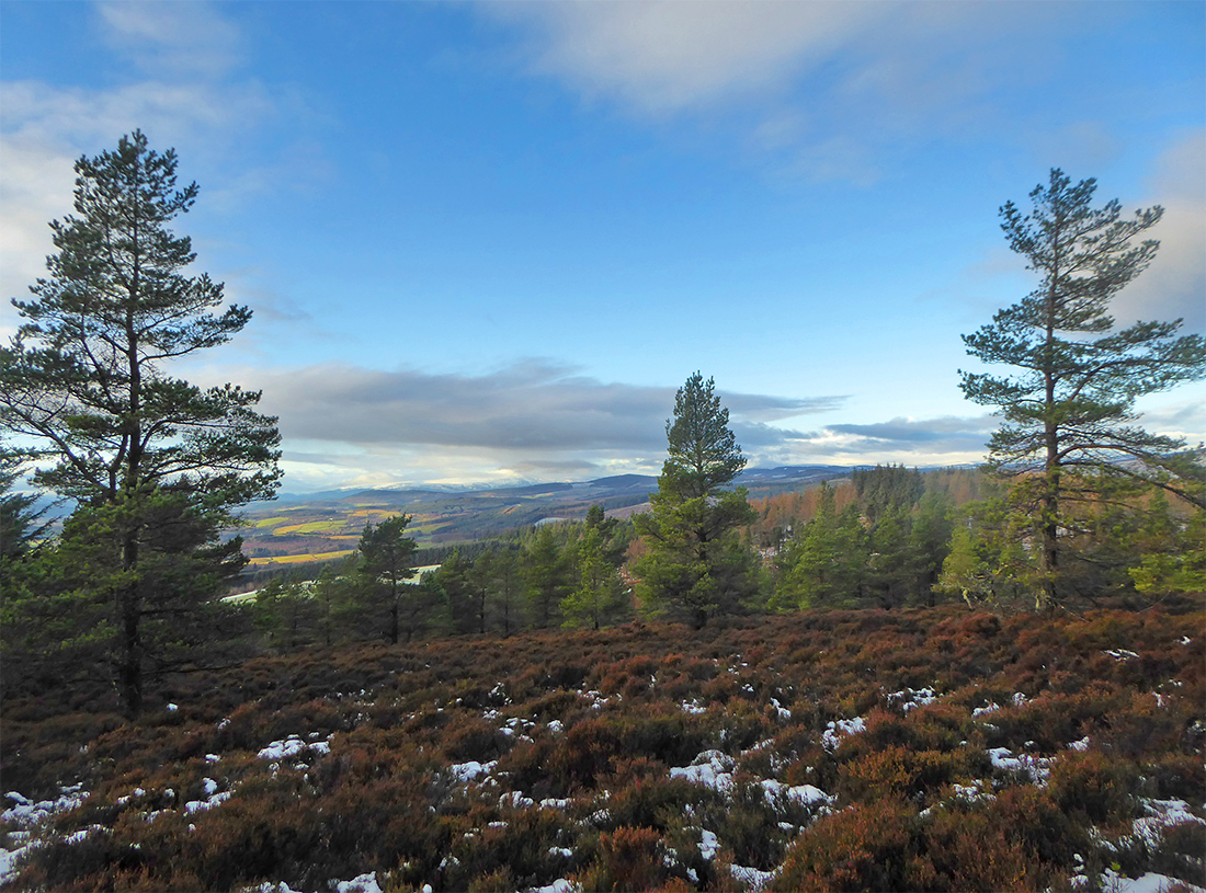
Today’s sortie with the Marine lab is to a couple hills just outside Banchory to the north. There’s been some recent snowfall, but unsure how much has lain or thawed. What we can see straight away is some freezing mist drifting from the trees as we alight near Ordie Caber
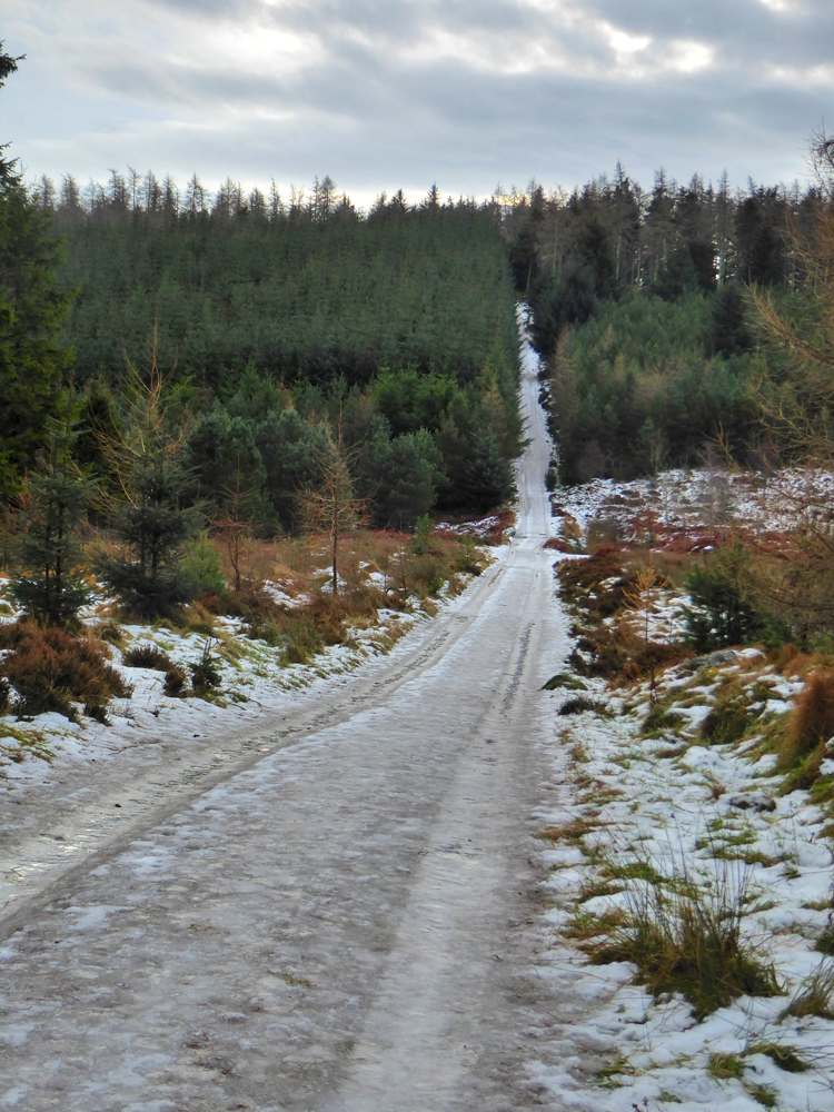
The track from the car park at ‘quarry’ has had the snowfall well trodden and is pretty icey
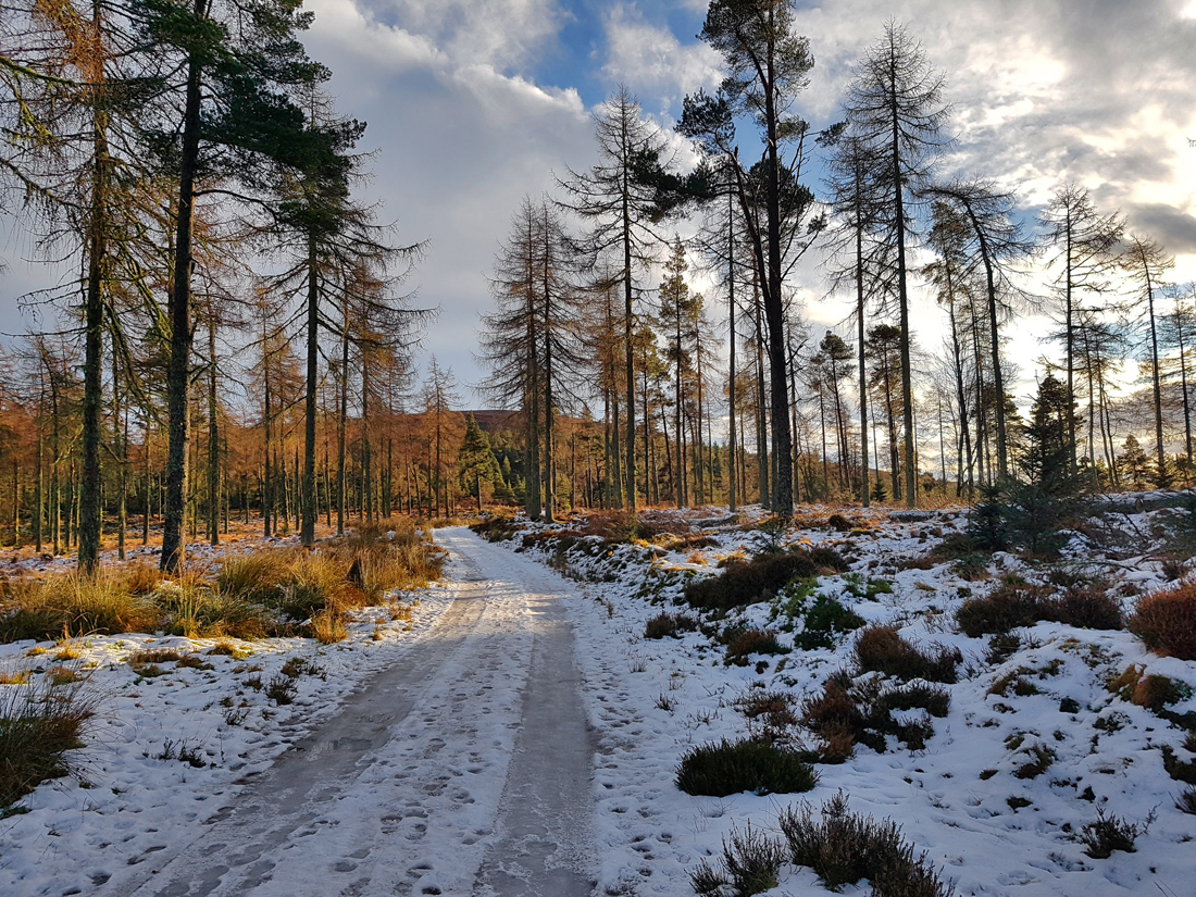
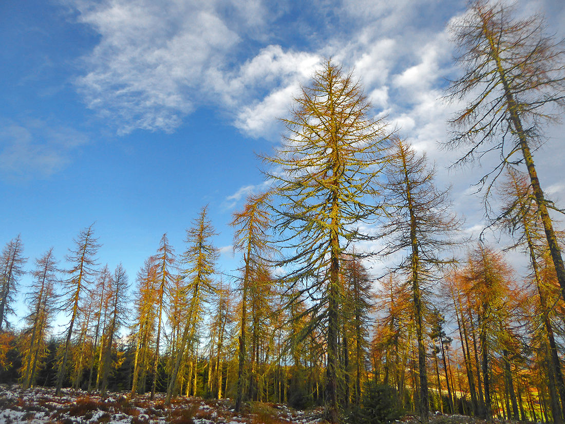
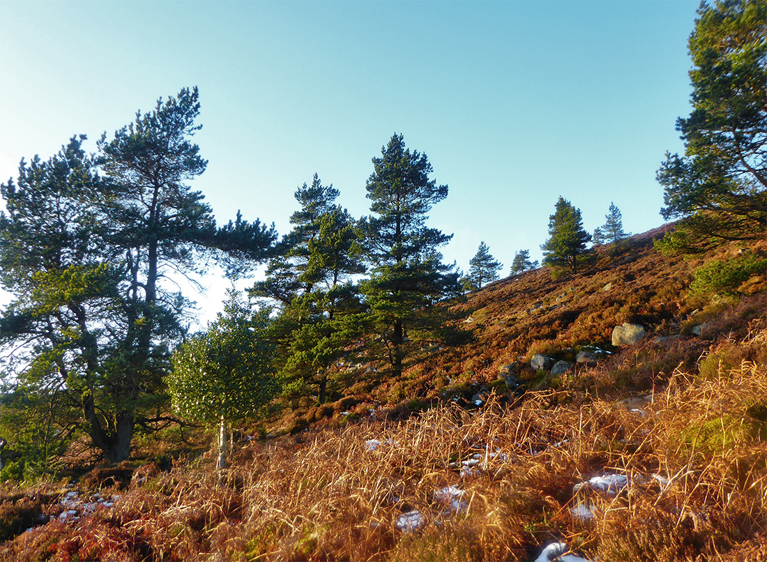
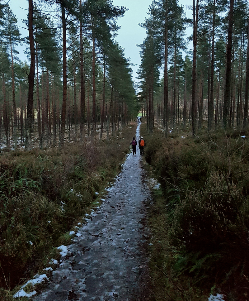
Bursts of winter sun sneak through the clouds and trees as we pass through Turk Wood
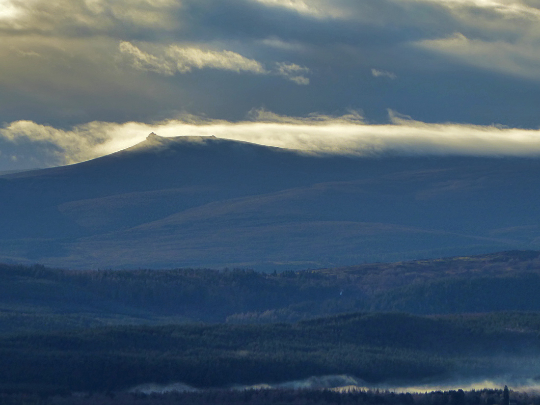
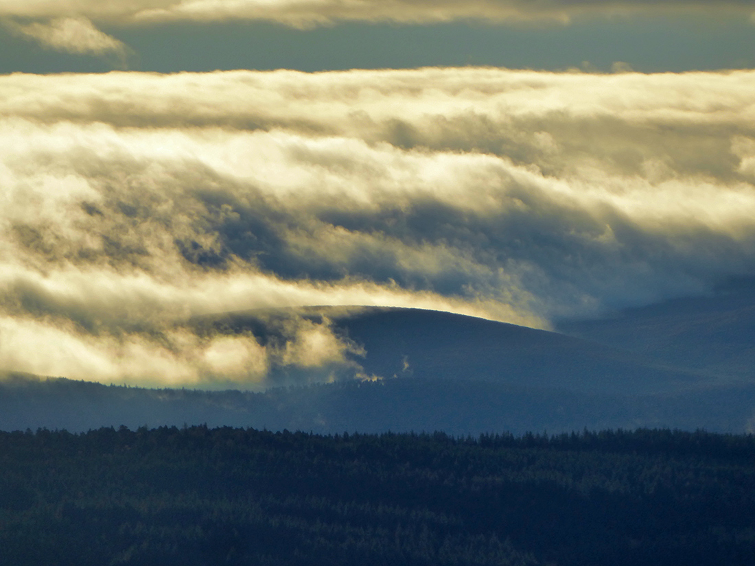
We clear the forest and begin to ascend a muddy footpath cutting through the heather. To the south across the misty valley, Clachnaben cuts like a shark’s fin through a sun drenched breaking wave of low cloud. We pass the “cross of fare” a barely visible disused road once described in 1799 as ‘at all times unpleasant’
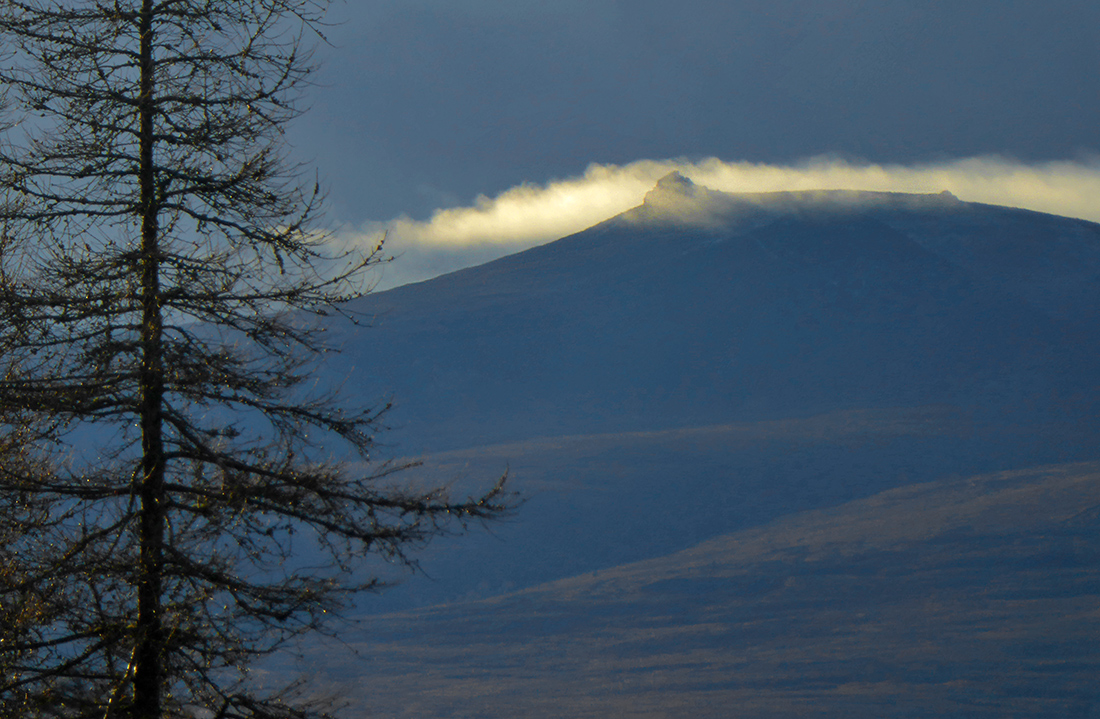
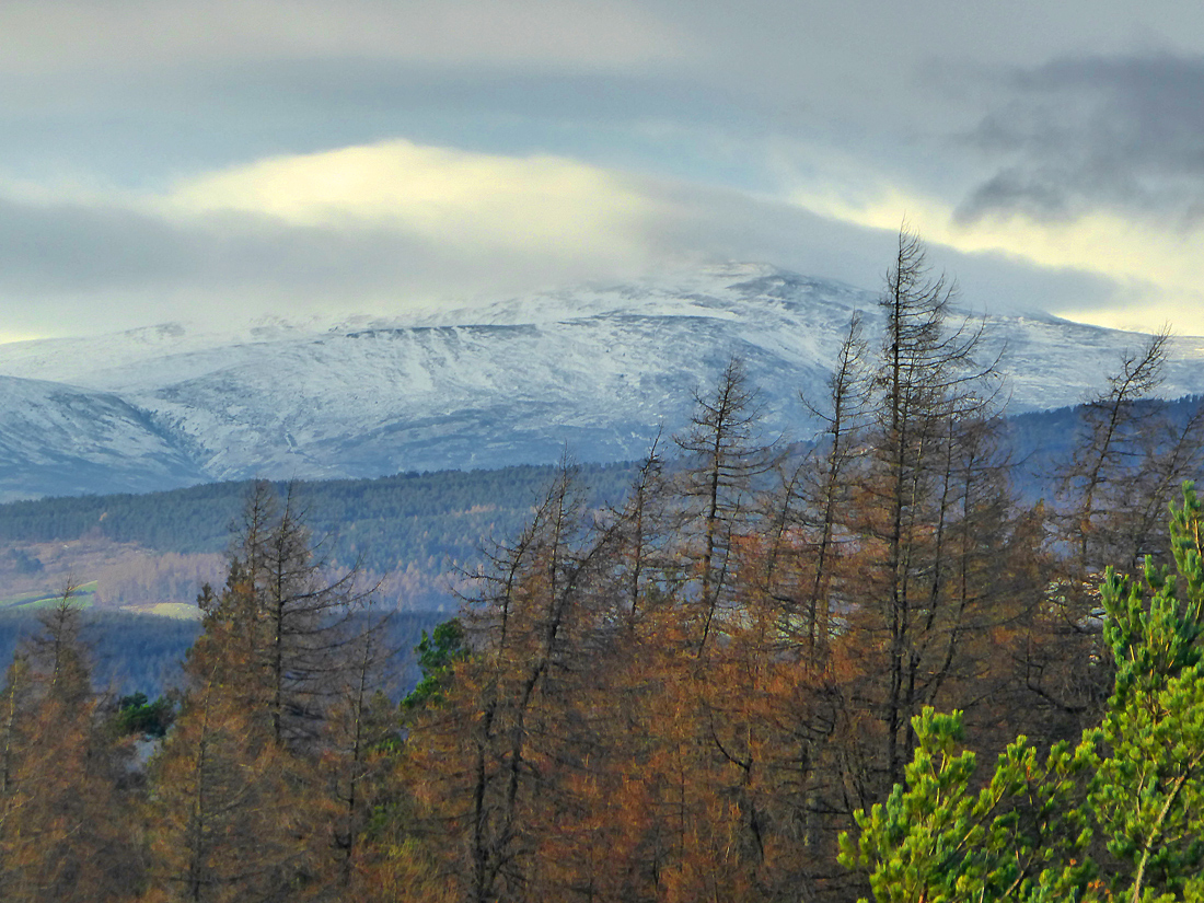
Higher hills still hold a thin cloak of snow
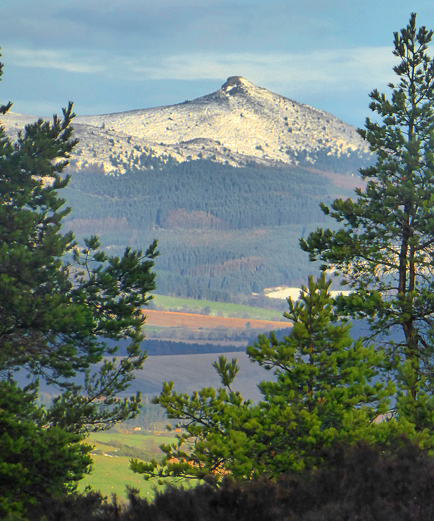
There’s a scattering of trees higher up, and through them the fine tors of Bennachie show their snow-caps too
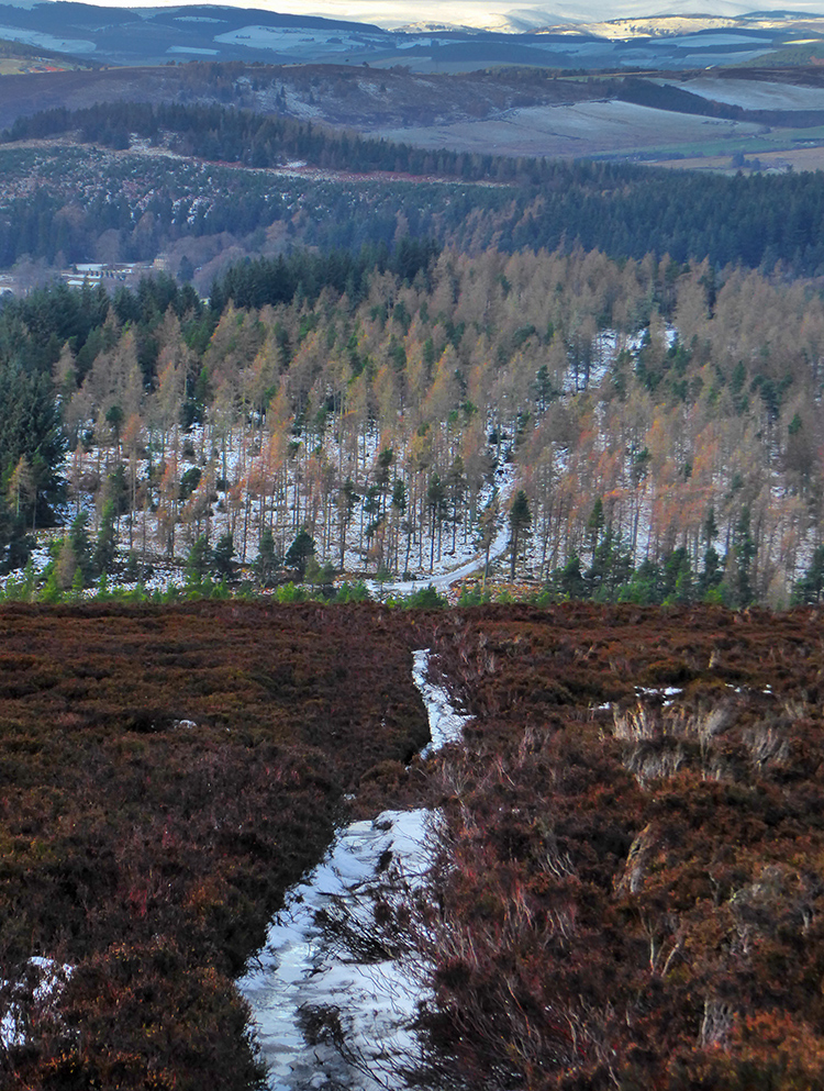
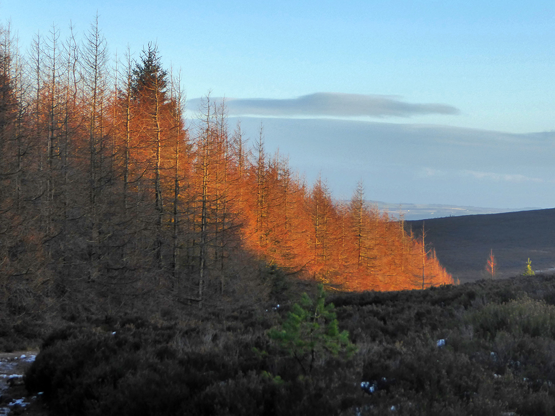
The straggle of trees gives way to deep heather
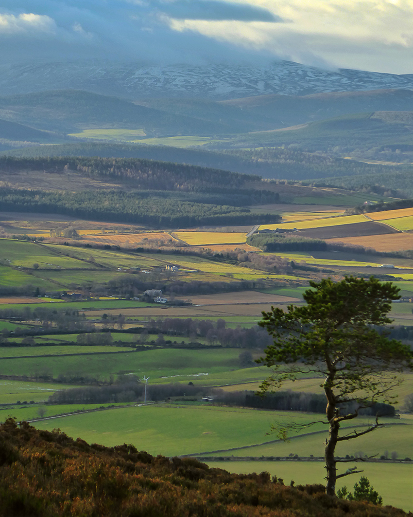
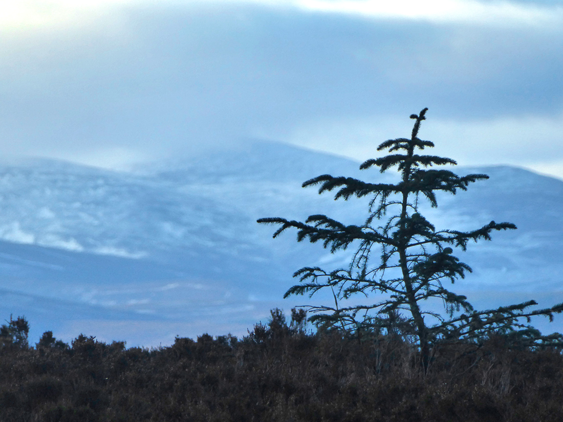
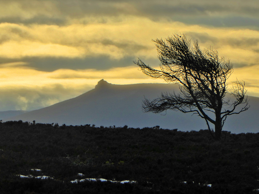
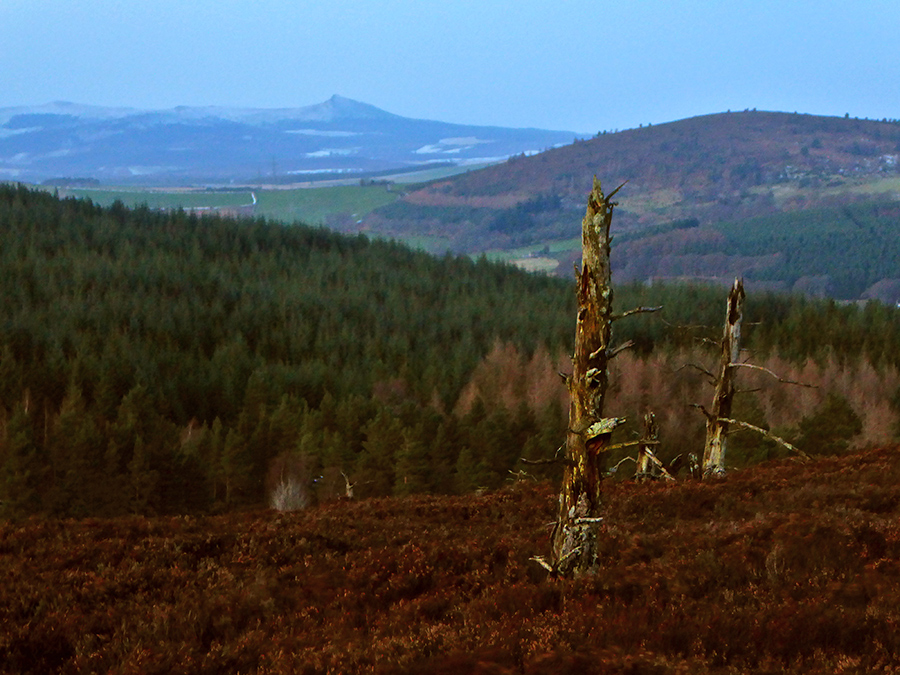
A tree alone watches the patchwork of the valley below from the quiet of the moor
Looking back from where we started
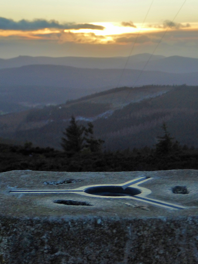
At 471 the highest point of the day is reached relatively early

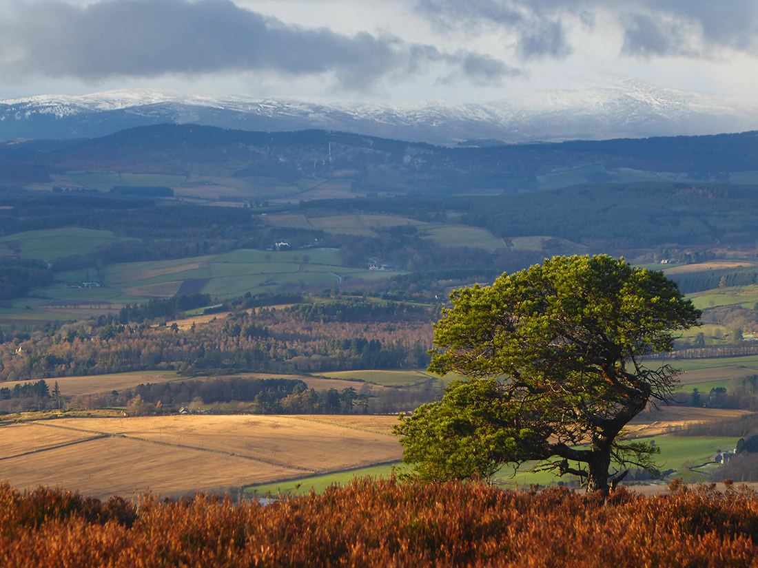
Same valley different tree
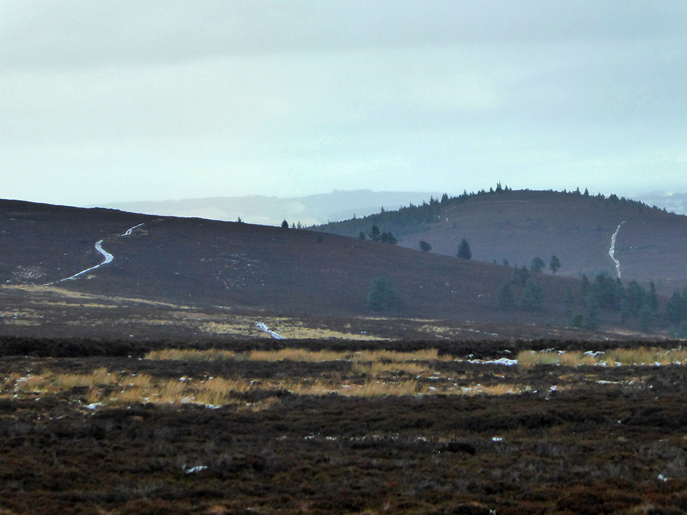
The track crackles and crunches across the hill eastward
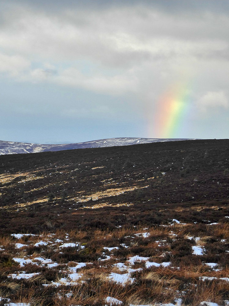
The pot of gold will be frosty, the coins frozen together
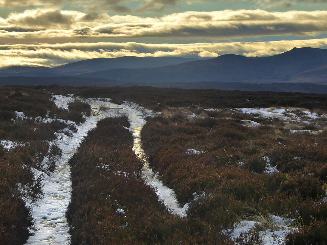
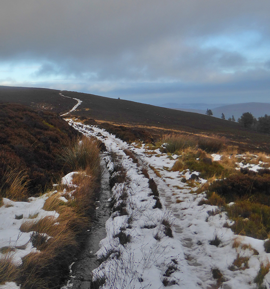
The trail ahead winds up hill and down dale
Clouds warn they will not leave us unscathed, winter will have her tax of frozen fingers and hail lashed skin

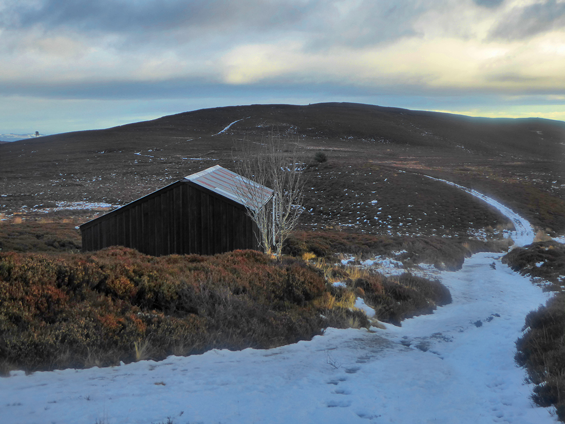
A locked hunting cabin; nonetheless it provides a step and windbreak for lunch
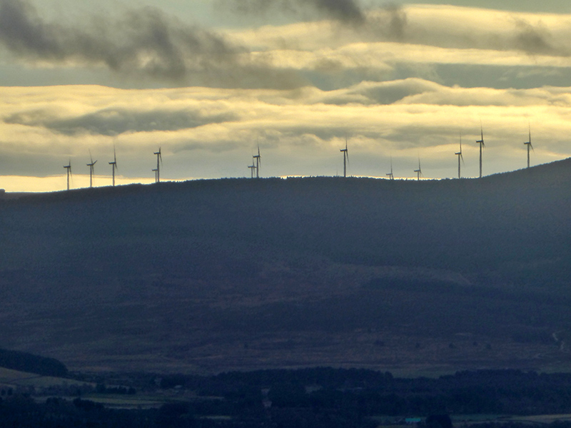
Turbines grazing leisurely on the winter breeze
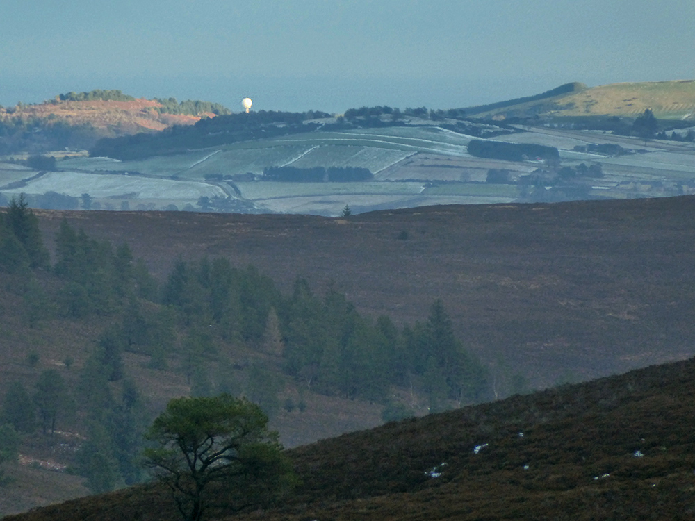
A bright point stands out on the horizon, maximum zoom reveals it as the Aberdeen radar tower 20k east
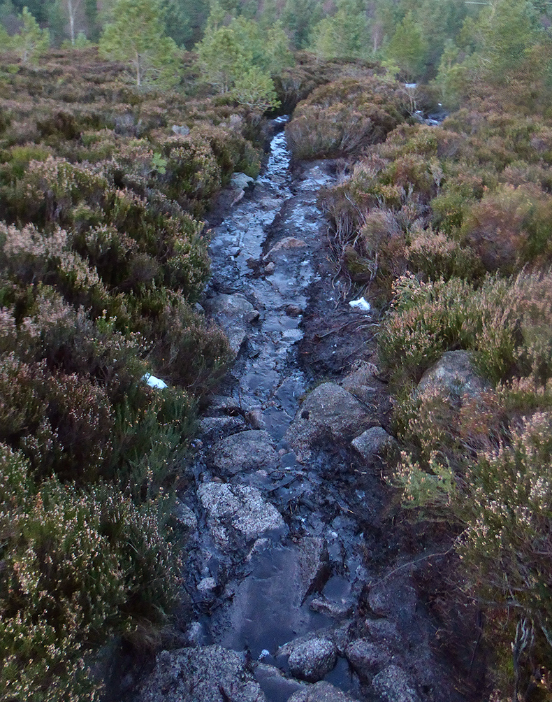
A stream joins us on the trail as we head NE
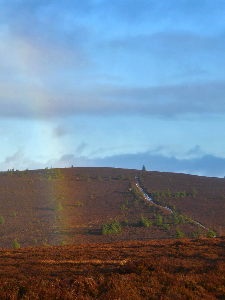
As we approach Greymore the rainbow reappears
Rocky slopes of greymore
We approach the turn off to Meikle Tap; some head down taking the easy route but 3 of us press on up; might as well get this peak in the bag though it looks bigger from here than a height of 359
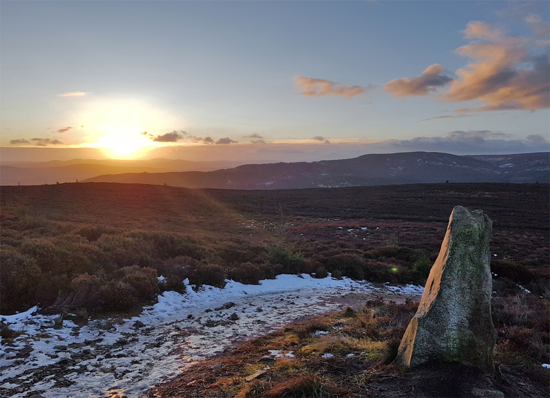
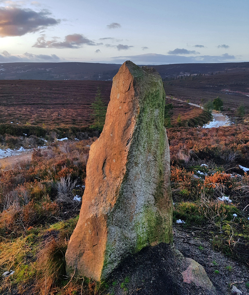
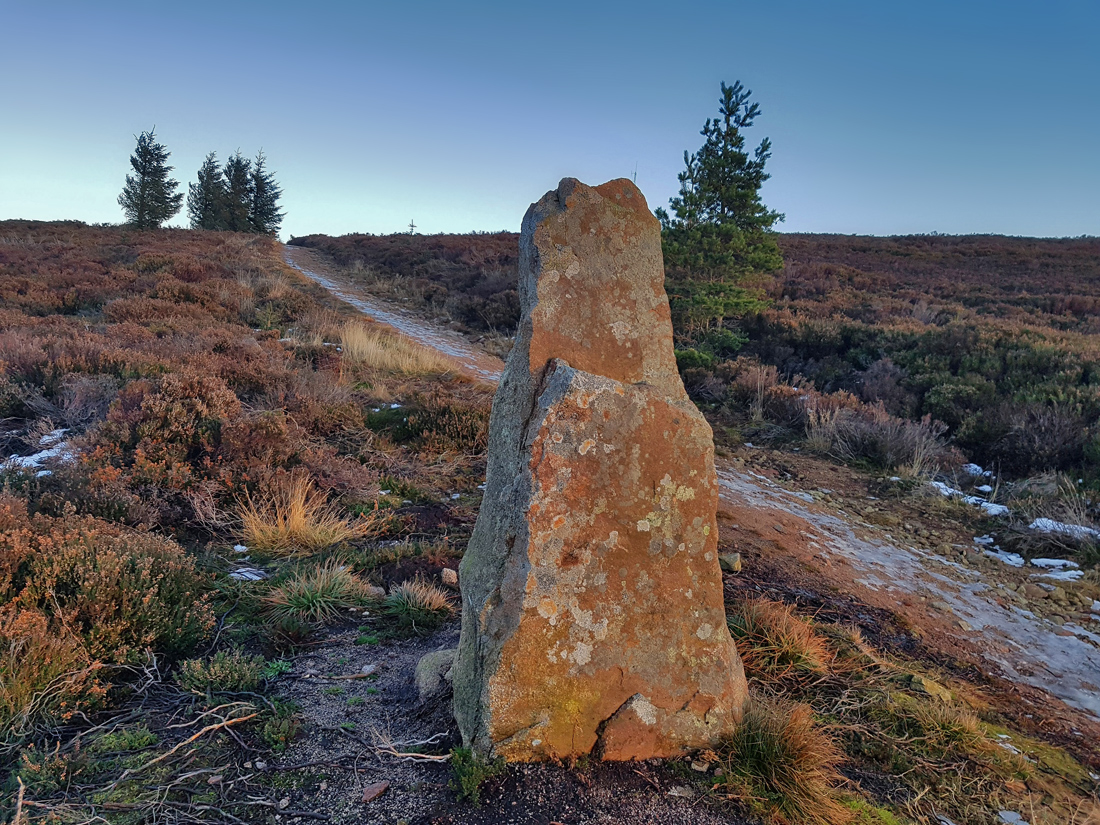
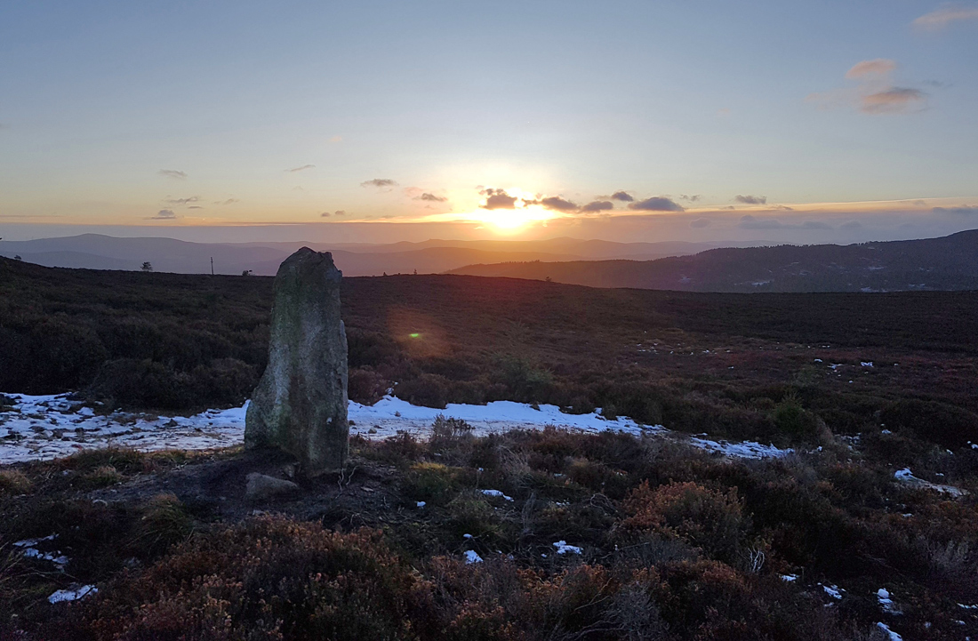
As the track climbs up there’s what looks like a standing stone, not on the OS map nor any mention online, unknown stone

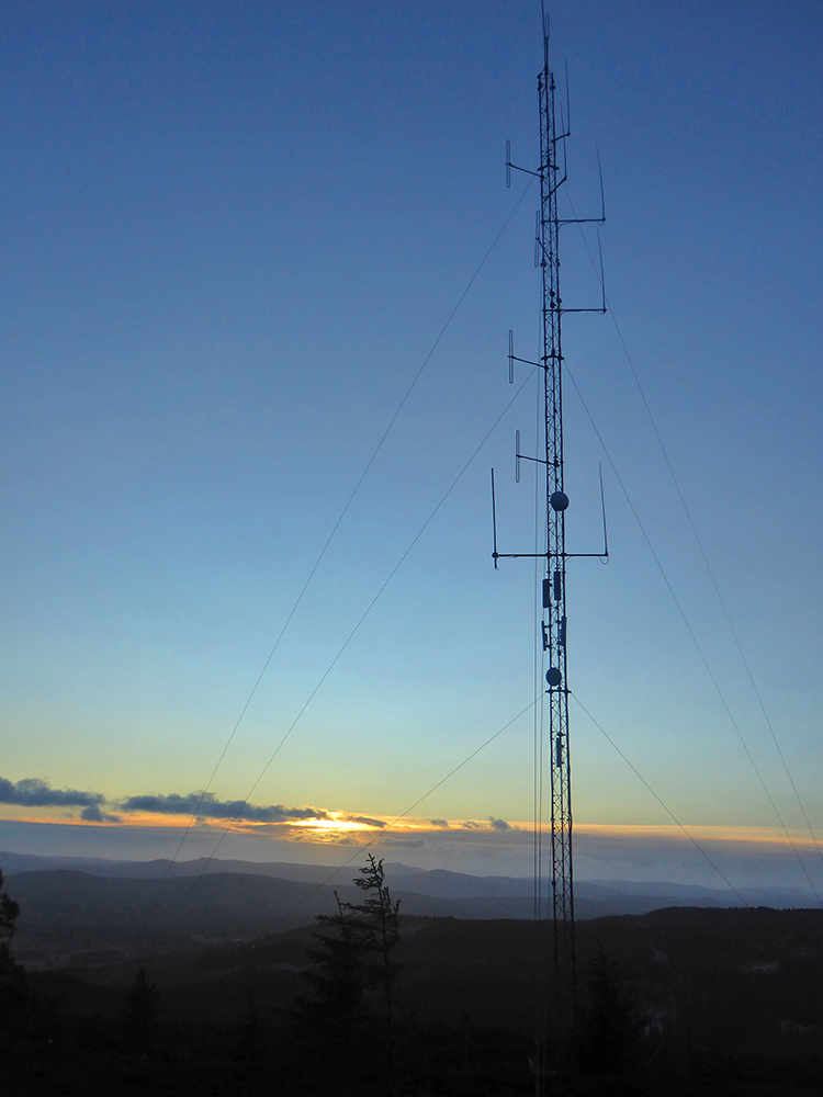
At the top, the aerial stays sing with the fierce wind
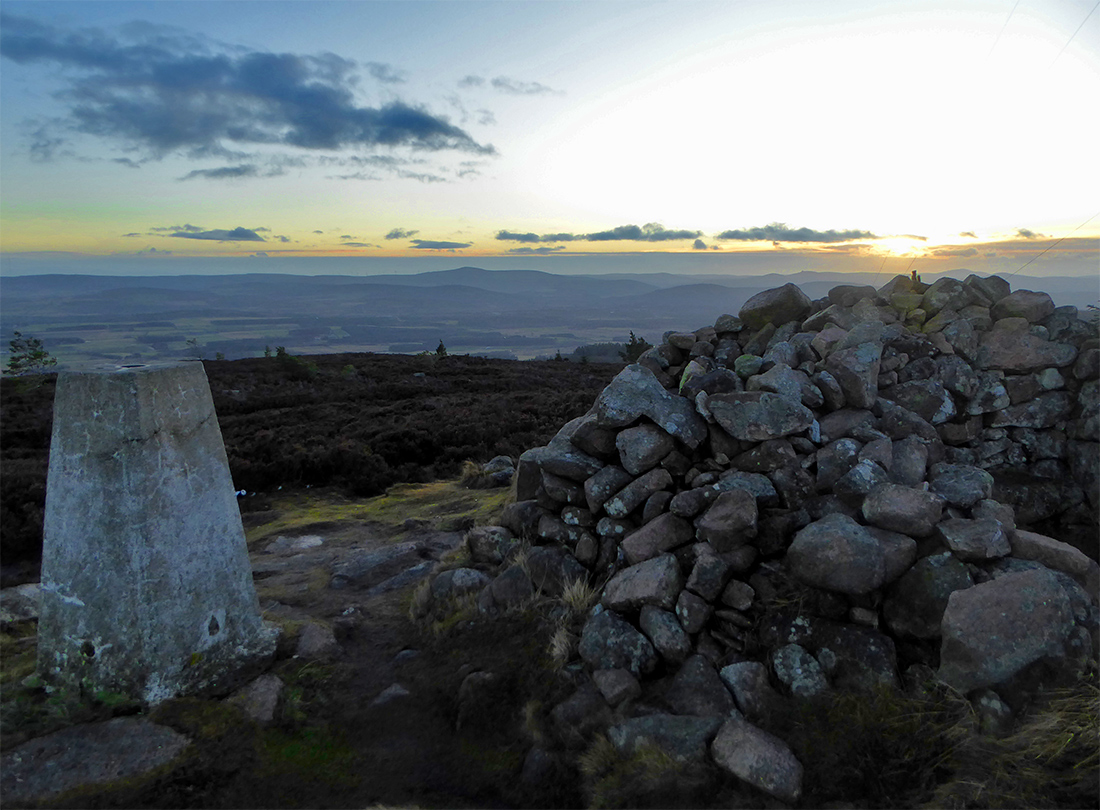
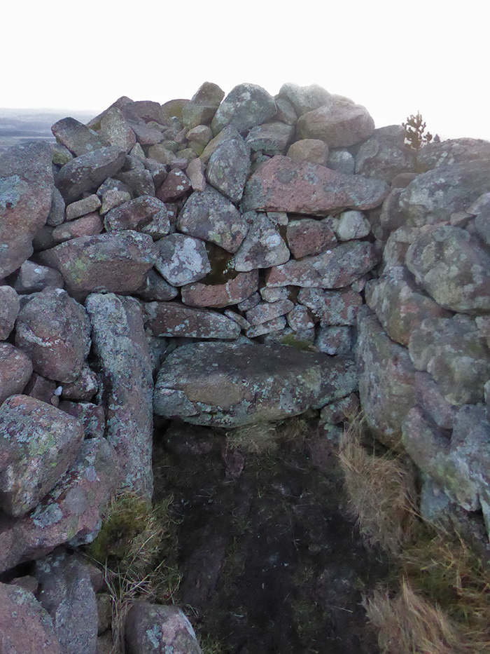
The cairn and trig point
The cairn has alcoves indented and a seat
We don’t hang about as the sun is setting. On the 50k map there’s no track off the back to the east, on the 25k there’s a footpath. We ponder what condition this will be in and whether a turn around is in order. Let’s try a few 100m first
The first few 100m aren’t bad, narrow and rocky single track. It gradually gets eroded and lumpier until it’s easier to wade through the heather. The last bit requires a bit of scrambling.
Light failing, we slither along the frozen track. I should have put on my ice grips ages ago; I muddle on with the walking poles to our end beside South Newfield
Walk complete we retire safely back to the snug; today’s reward