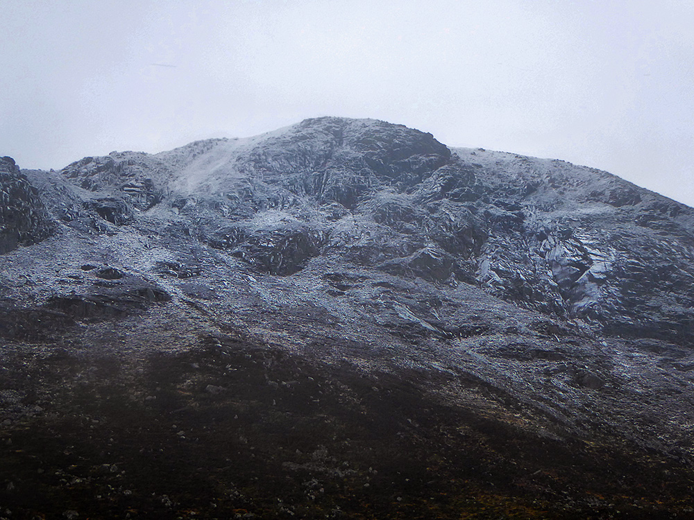
A gloomy morning at Auchallater car park South of Braemar, the forecast isn’t great but will hopefully clear in the afternoon. Looks like some snow cover higher up

With a bit of sleet straight away, it’s waterproofs on from the start. Spare ice axes are distributed for higher up later on.
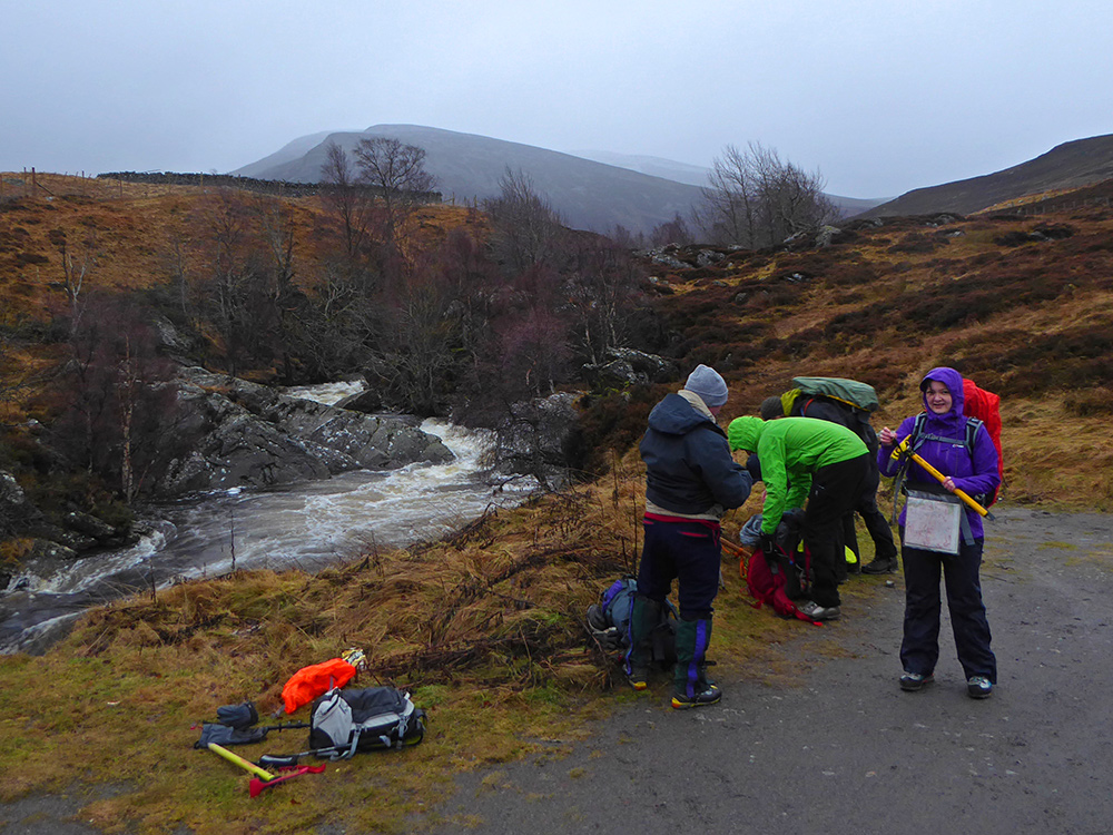
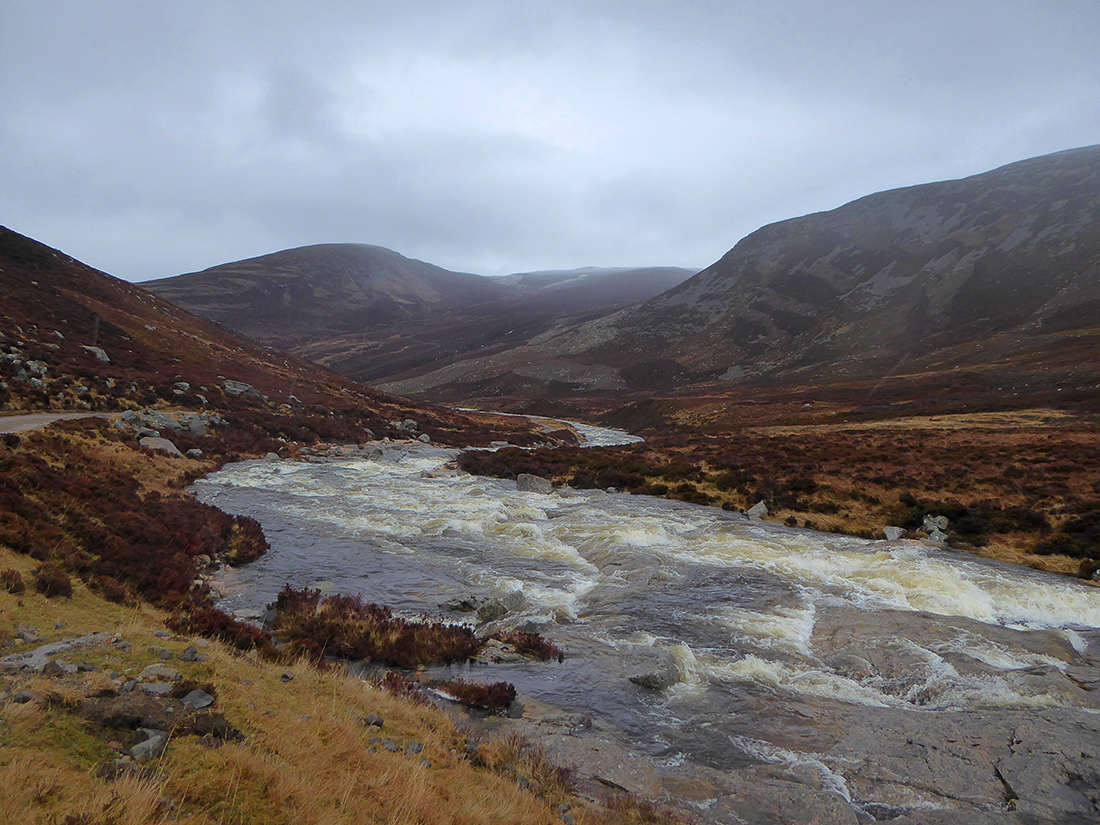
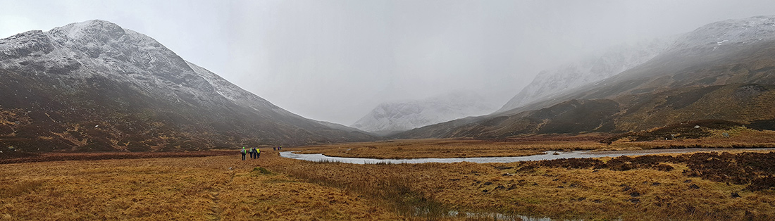
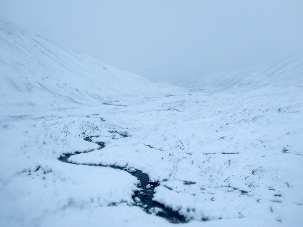
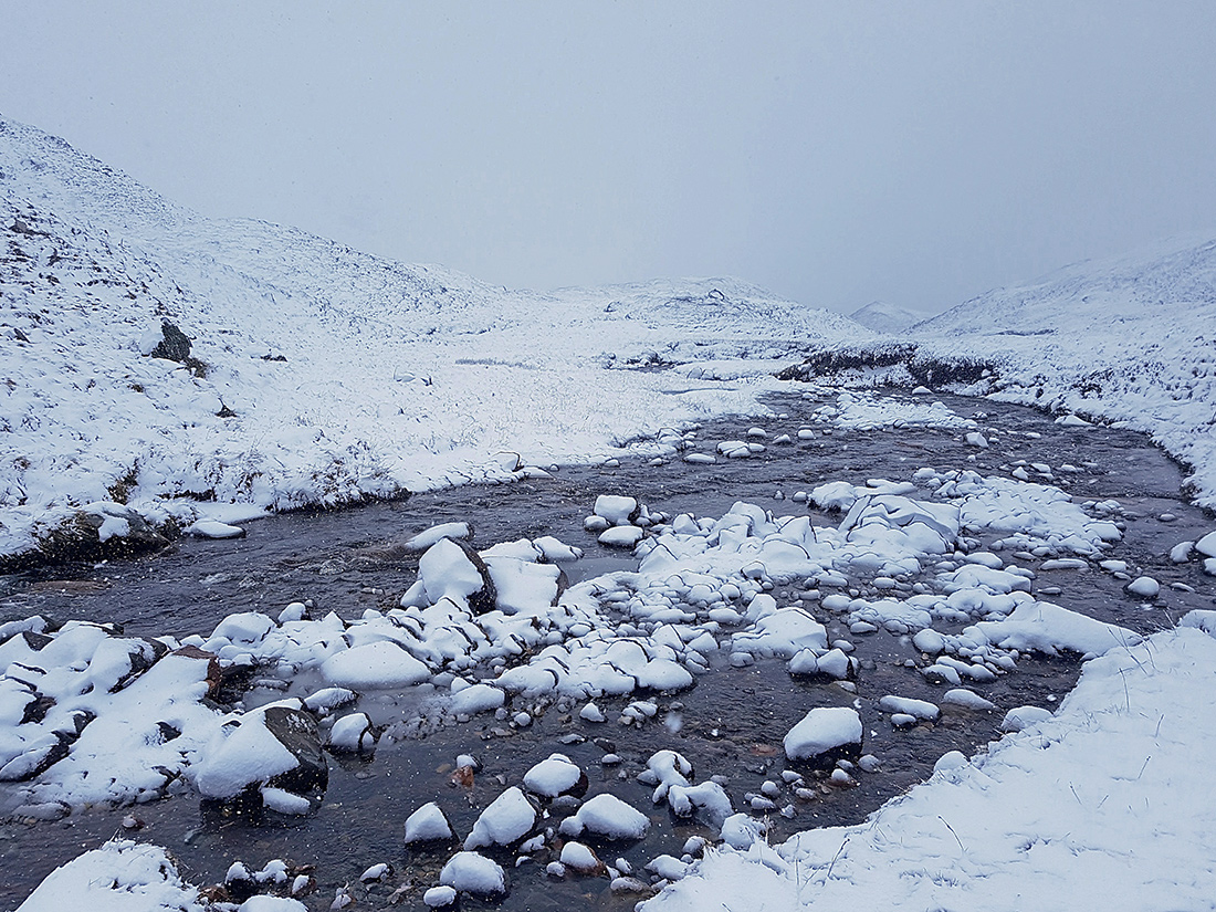
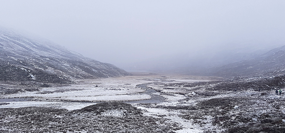
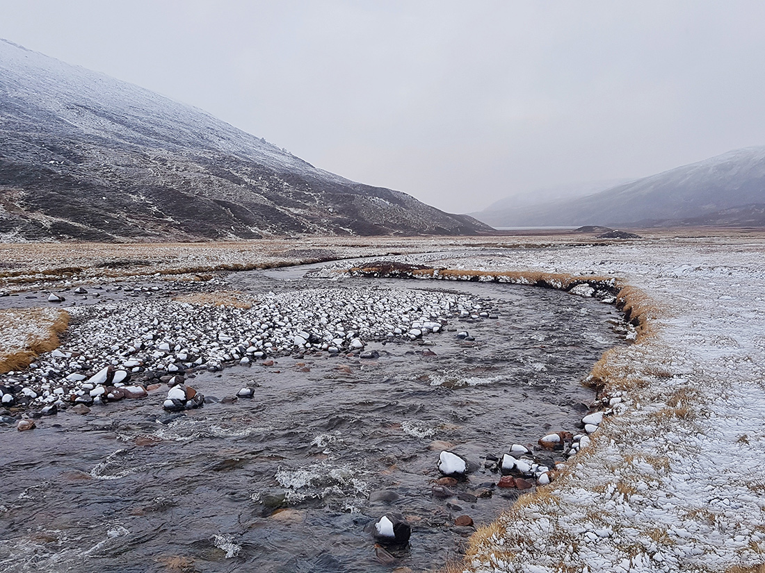
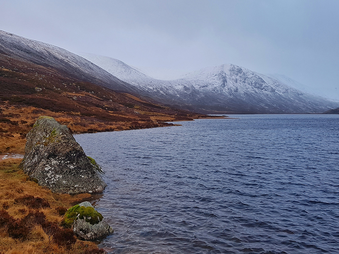
The Callater Burn looks quite lively, hopefully none of the fords upstream will be submerged
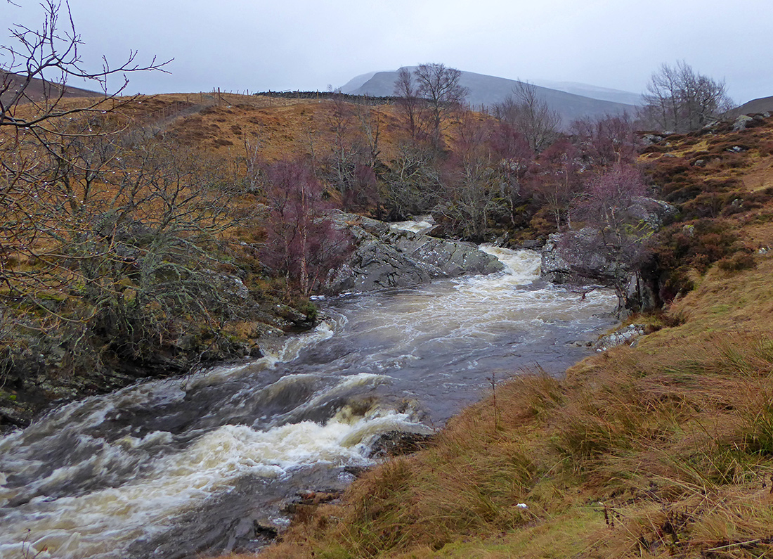
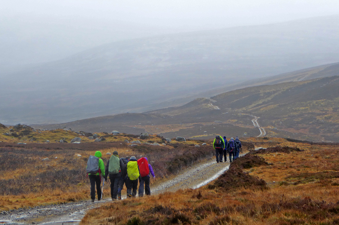
A well surfaced track meanders alongside the burn
This would be nice on a bike
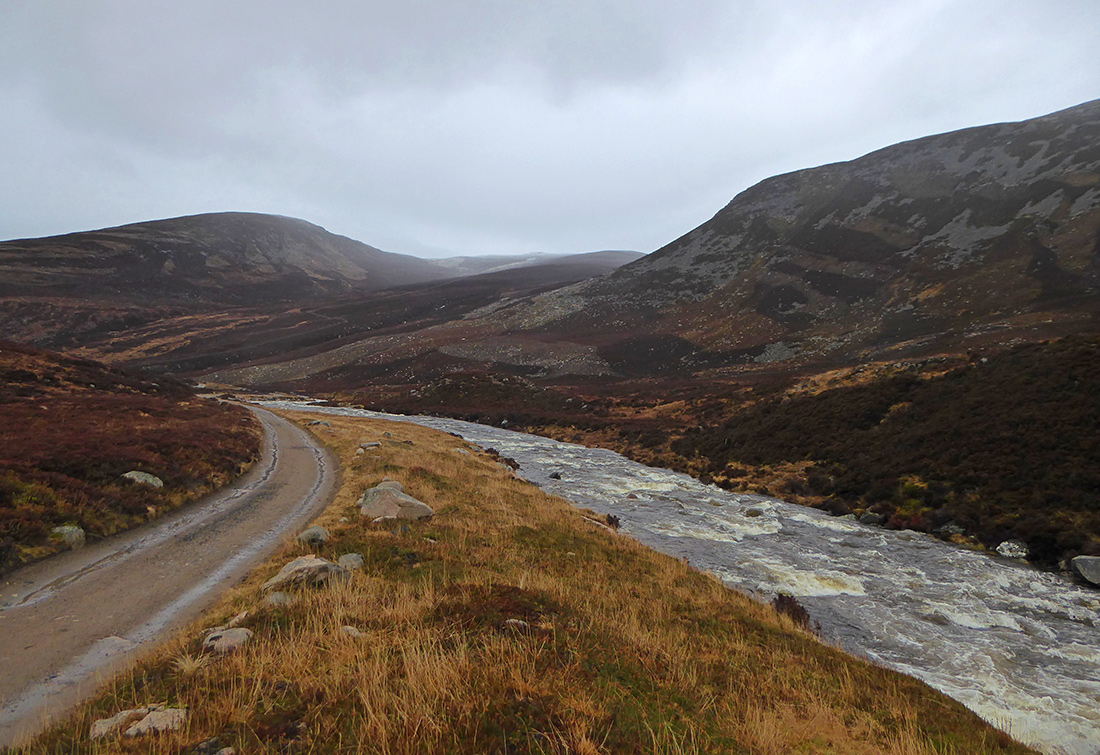
Probably good fun in a kayak too
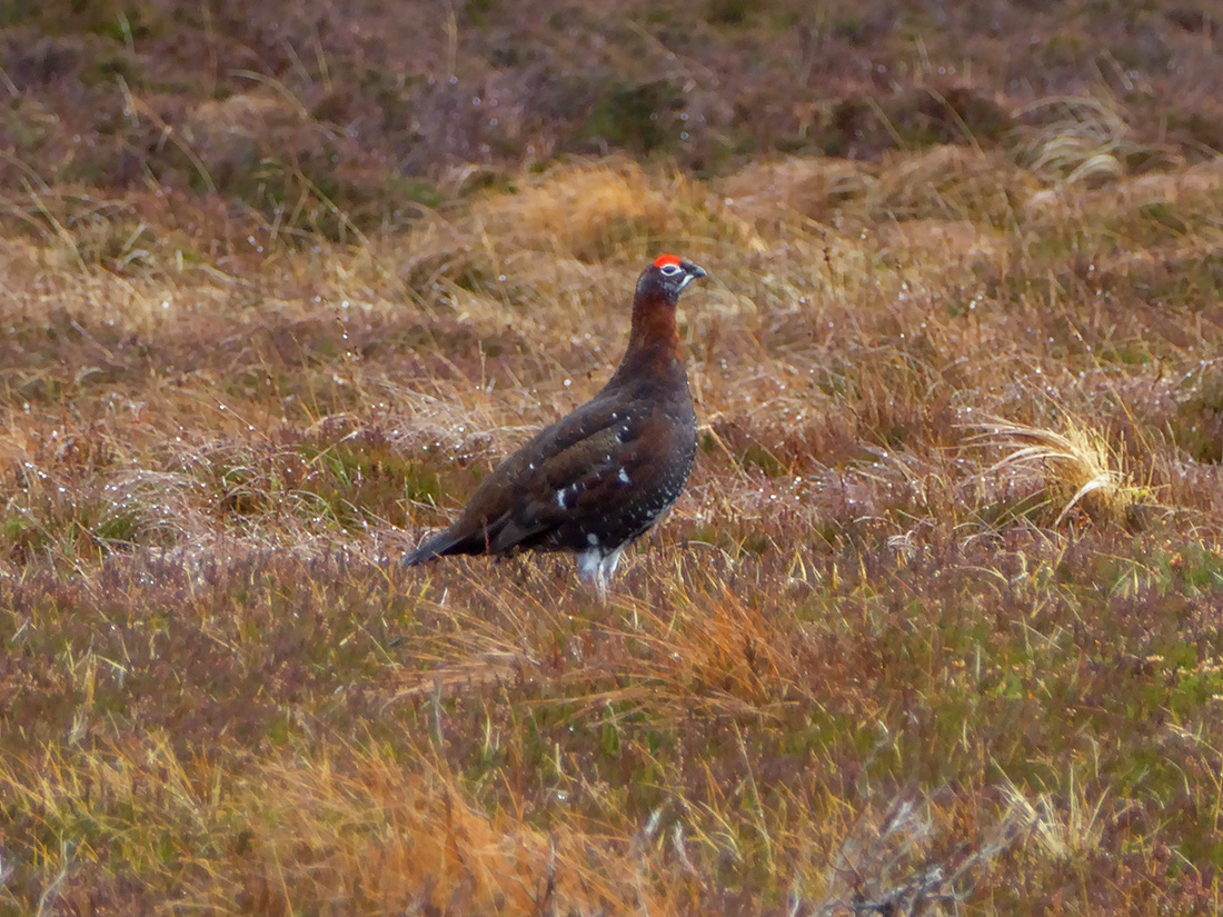
Quite a lot of grouse along here, clucking as they scatter skyward, some poke a head up to see what the fuss is about
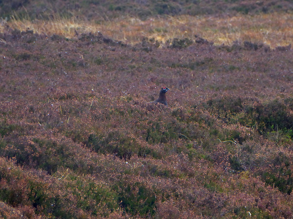
This chap stands proud, “this is MY glen”
It’s about 4km along the trail to the Loch
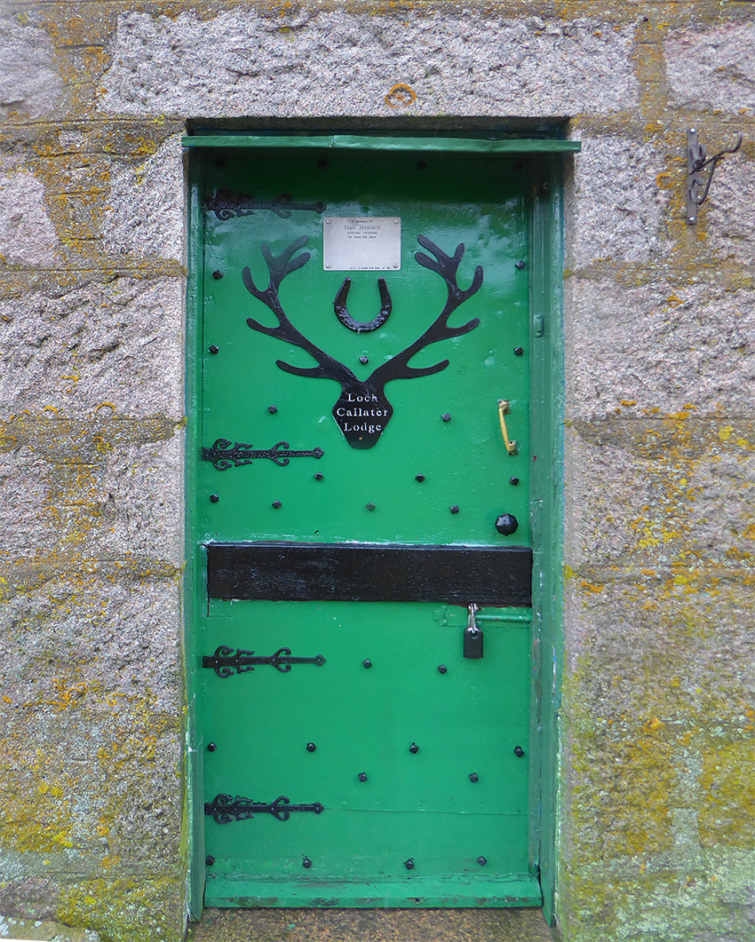
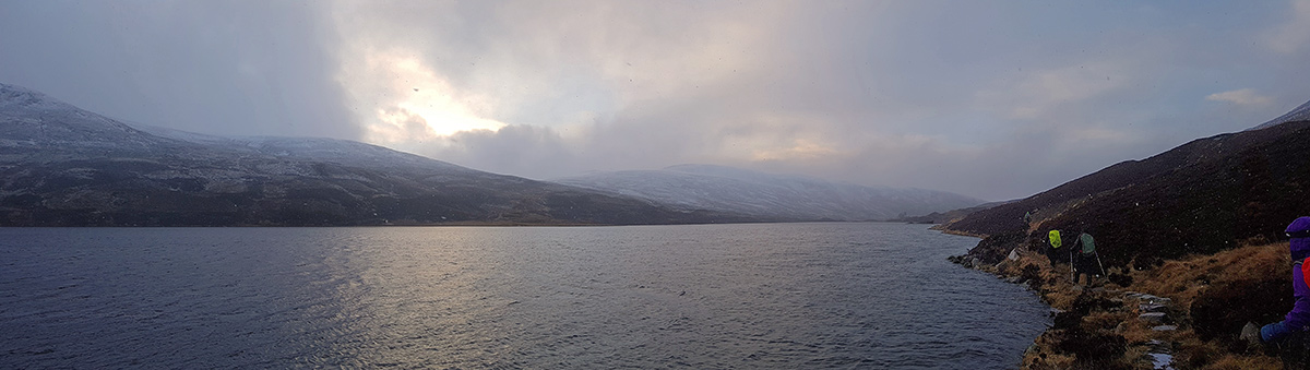
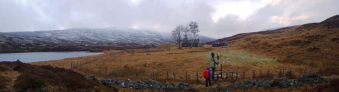
At Loch Callater there are two bothies, this ornately doored one is locked and is for estate guests
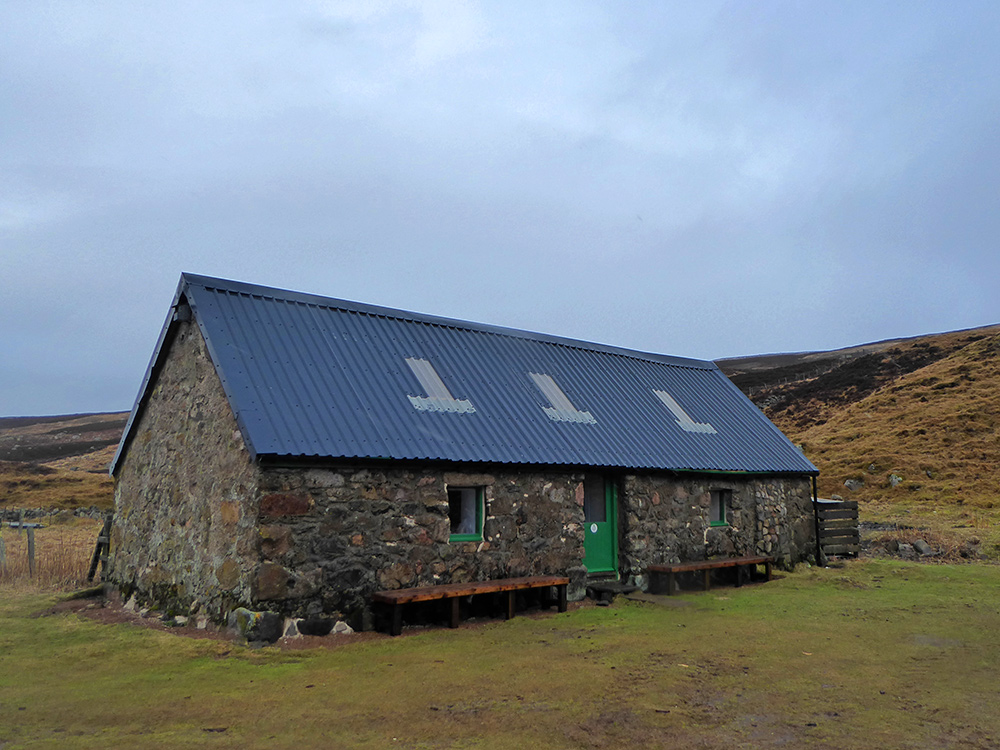
This one is an open MBA one, it used to be stables. We stop in for a quick cuppa. I imagine this gets pretty busy in the summer, but today we’re the only fools out in the dreich gloom
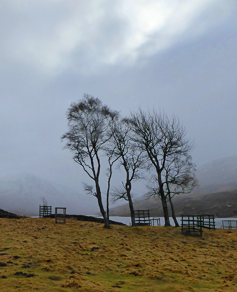
Only a few trees here, with a few more planted behind deer fences
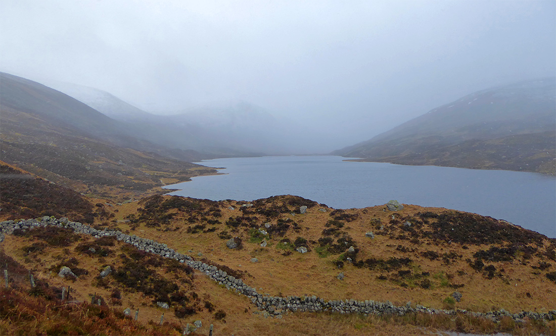
I climb up a wee mound to the left of the path to get a better view down the Loch
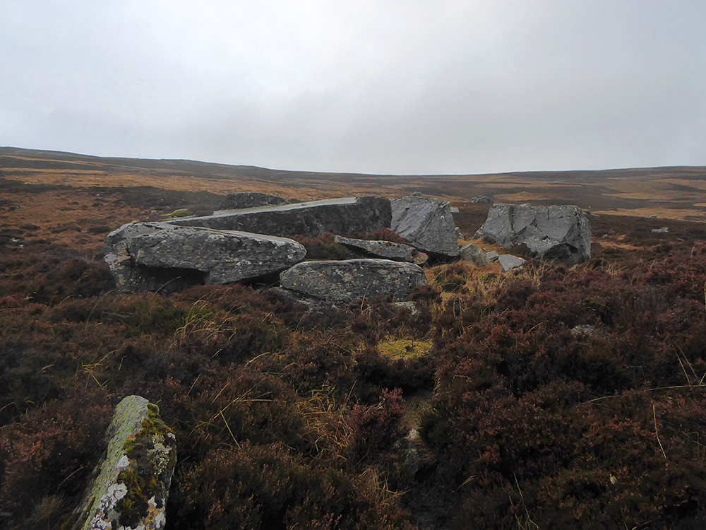
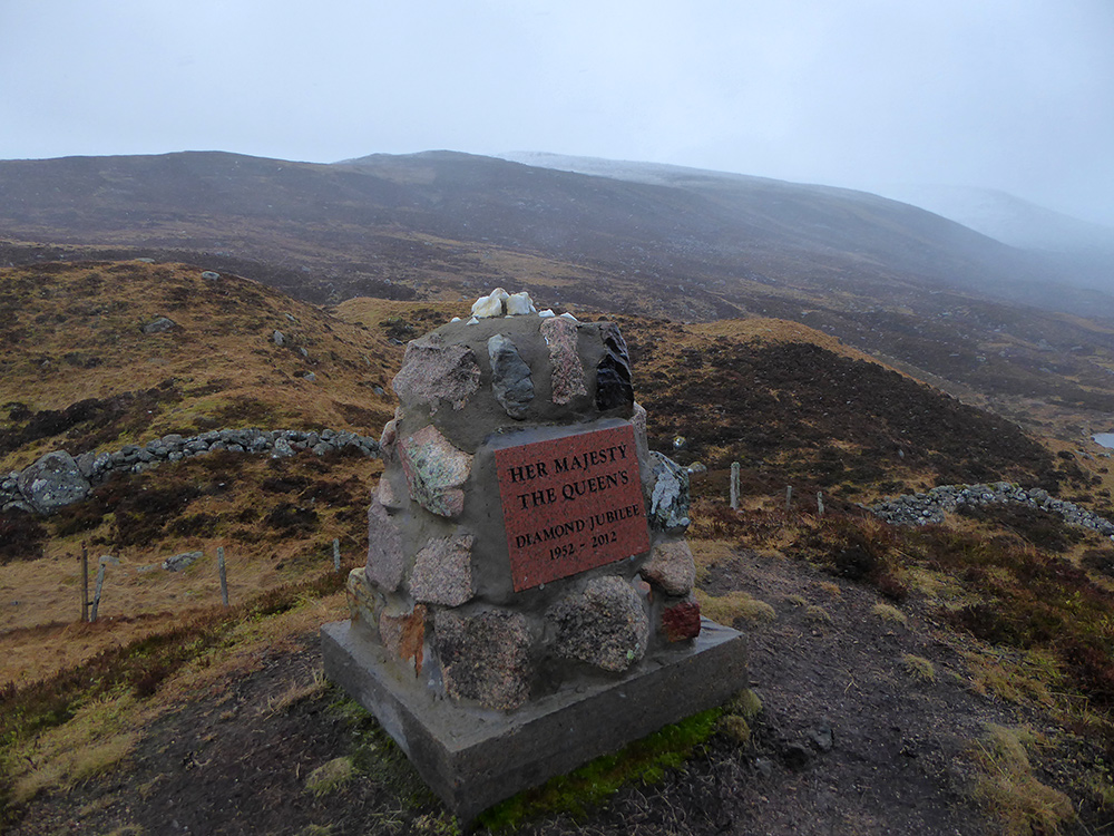
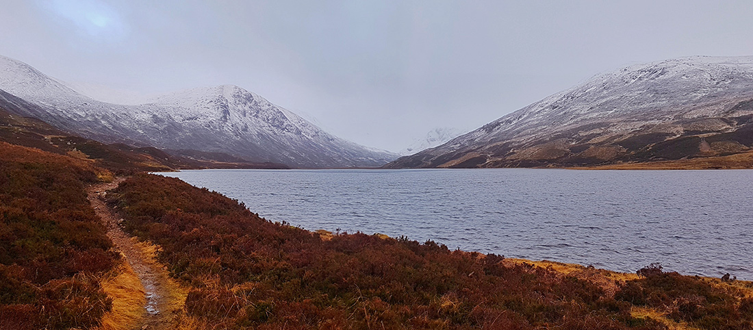
There’s a monument to the Queen’s Diamond Jubilee here, my initial impression is it looks a bit of a cobbled-together lump, though subsequent investigation shows the estate worker who constructed it went to the effort of sourcing a stone from every farm on the estate, and it also originally had a metal crown on top. It certainly commands a fine view over the Loch
My thoughts of whizzing along to the head of the glen in future on a MTB are tempered by lumpy rock steps

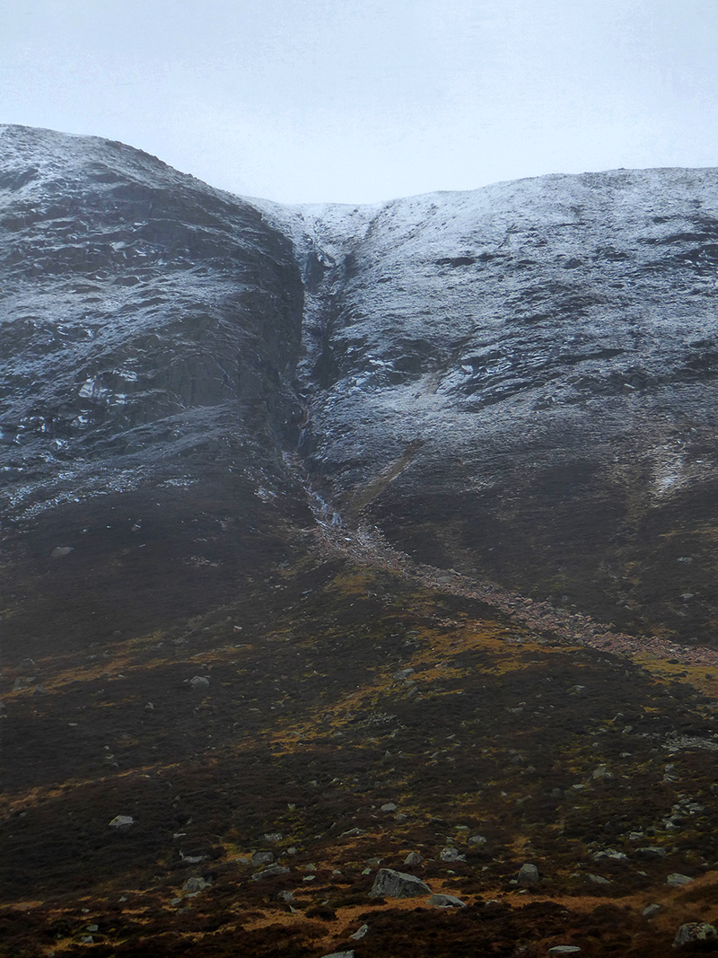
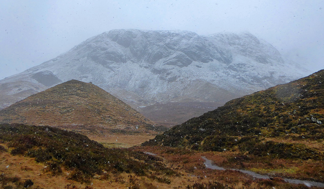
The hills building in height over the North side are awash with vigorous winter waterfalls

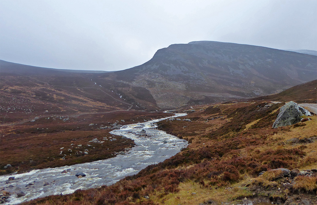
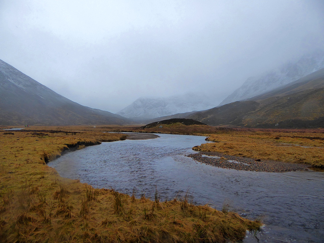
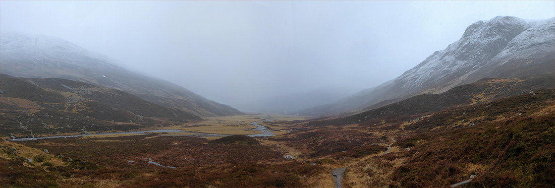
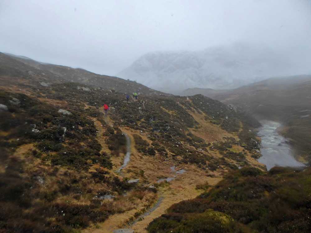
Pushing deeper into the glen beyond the loch. The paths now thin to singletrack, and the terrain underfoot is boggy
Higher peaks now loom out of the clouds on both sides
This path is part of ‘Jock’s Road‘ a very important route with regards to land rights in Scotland. In the late 19th century a new owner of the estate tried to block all access. Jock fought to continue use of what was an ancient cattle drove, with the case ending up in the House of Lords, and the access granted ultimately led to the Scottish rights of way act that now allows the public in to vast estates that would otherwise probably deny passage. One end is here, it then climbs up on to the plateau then descends into Glen Doll about 15k SE

Big rock faces on the North side
Getting towards the head of the glen looking back as we begin to climb upwards
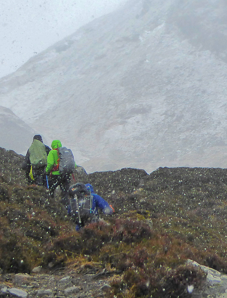
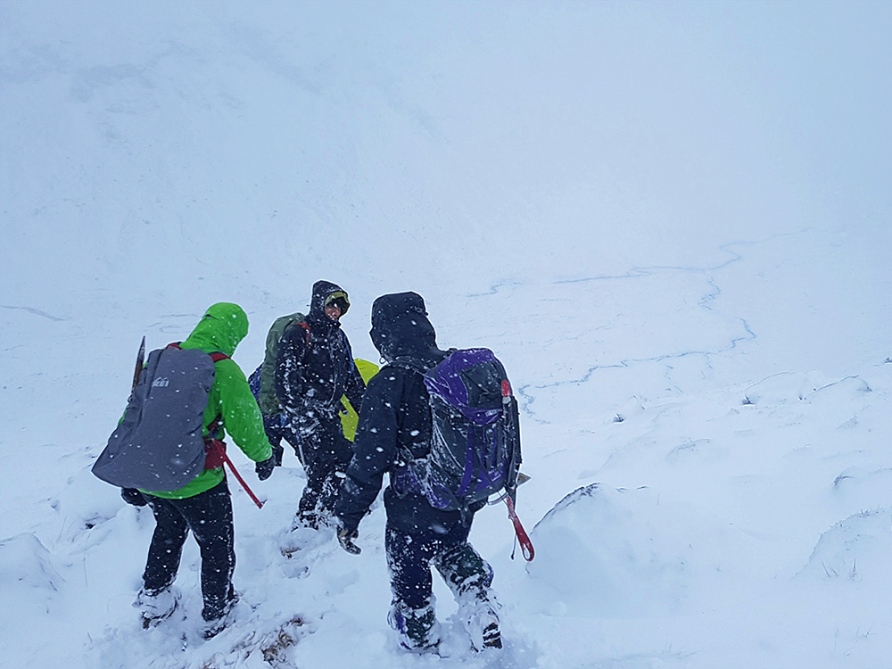
The path swoops through a number of small hillocks. The snow makes a reappearance, time for hood up and am glad that have taken a baseball cap for under my beanie, the peak giving a bit more eye protection than the hood peak
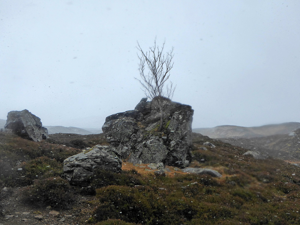
At the top of one of these hillocks, this rock with a wee tree stands out – on the way back facing West there’s a good photo to be had at one point on the path where it stands in front of the end of the loch, but I couldn’t take the shot because the lens had fogged over.. this snap facing in the other direction will act as a reminder for next time..
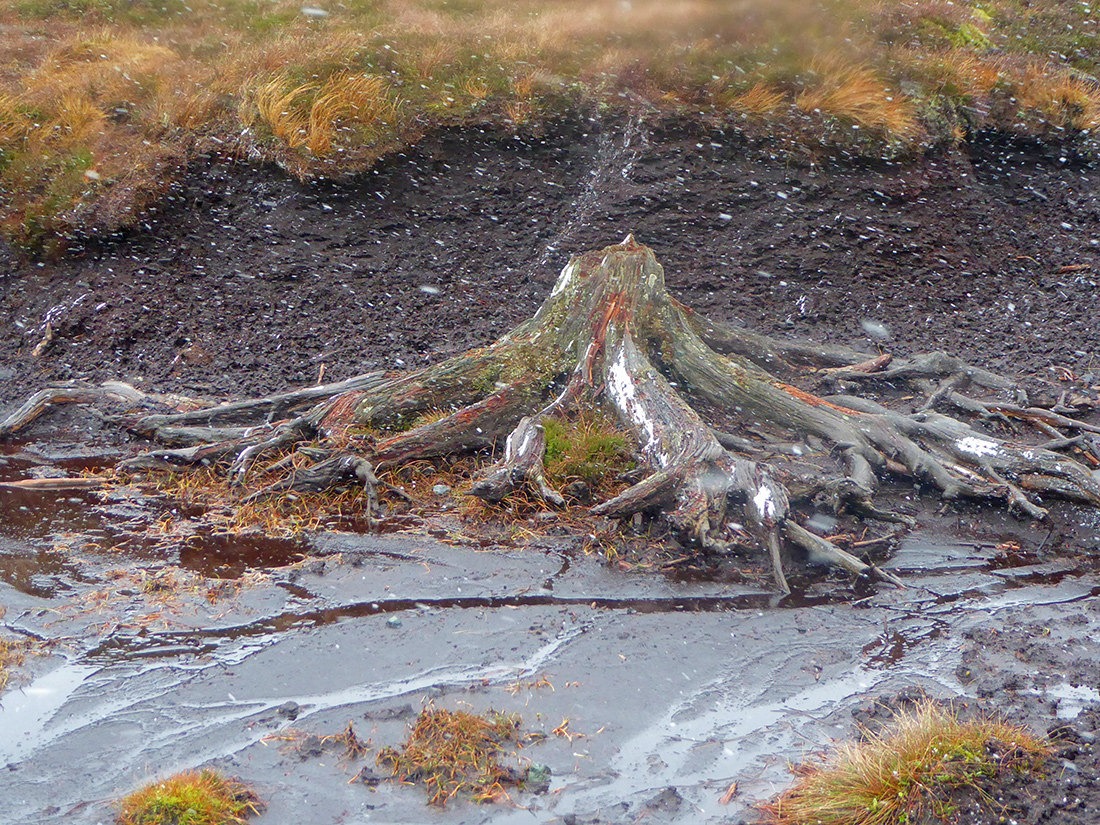
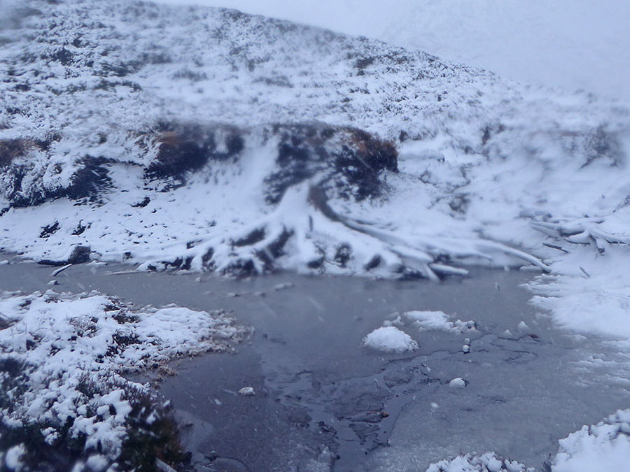
A section of peat has washed away revealing this old trunk
The path is hard to track alongside the burn
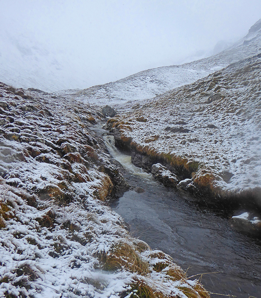
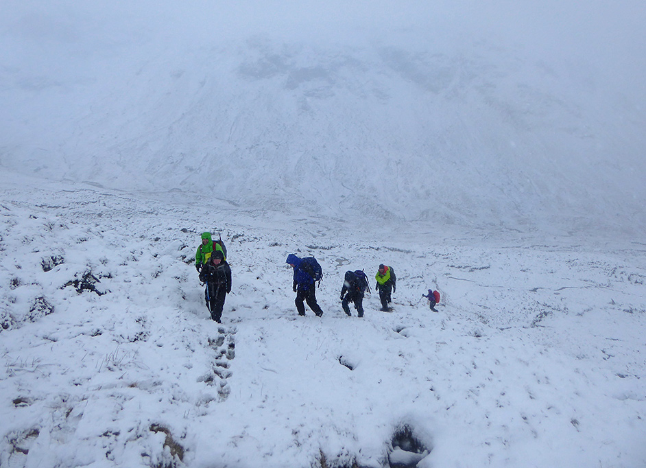
The snow begins to deepen as we ascend the glen head
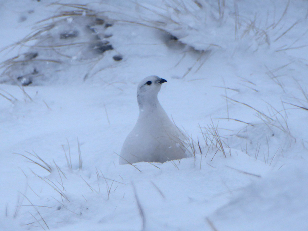
Something watching us well camouflaged in the snow
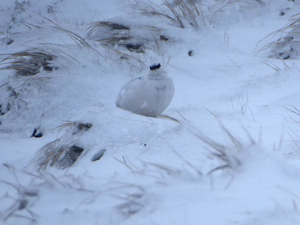
Winter plumaged ptarmigan
We take a brief stop for lunch before topping the ridge as it’s clearly going to be very windy up top
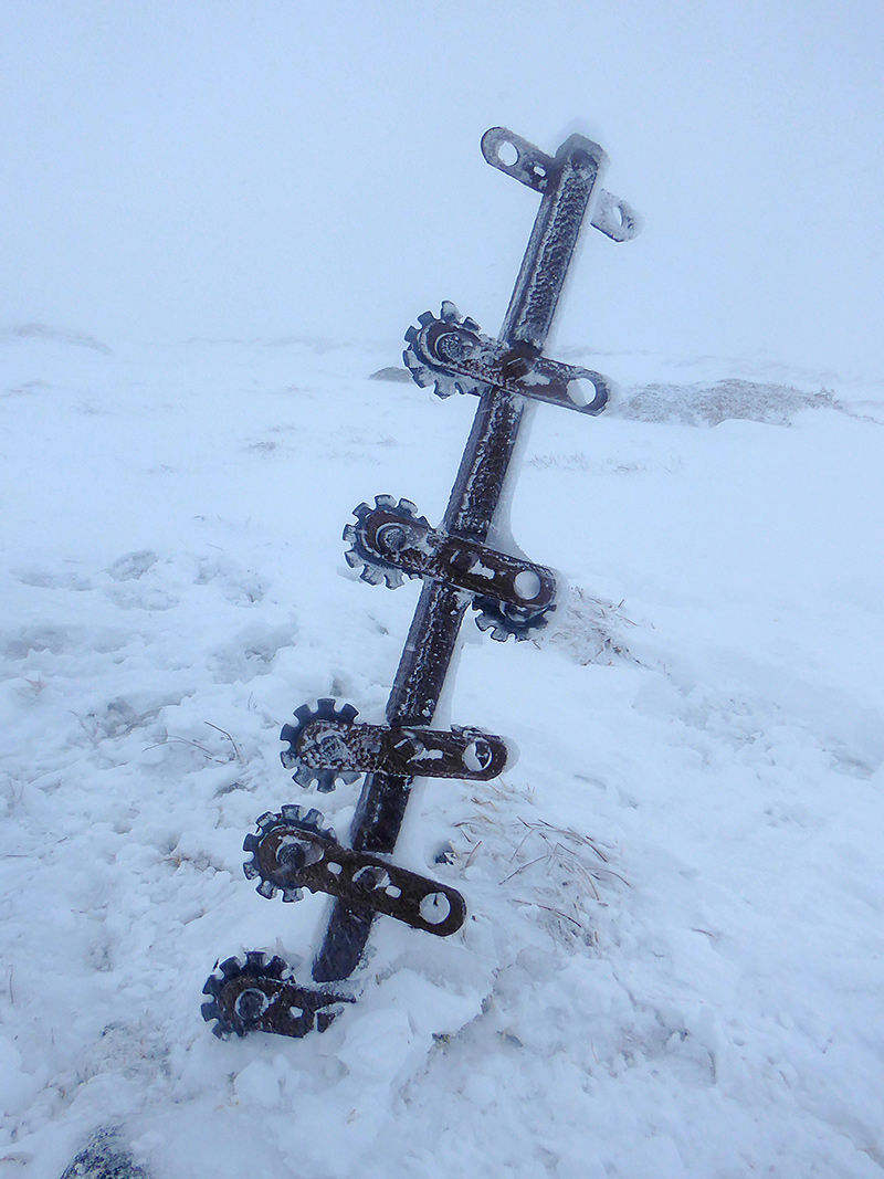
While climbing the head, and then along the plateau, various poles mark the path, this one is a bit more mechanical, I guess used for fence wire tensioning
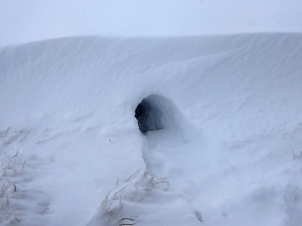
Something has created a wee snow burrow
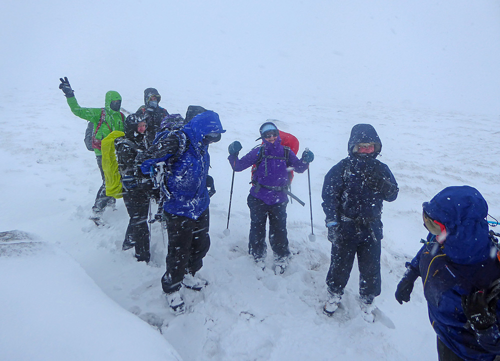
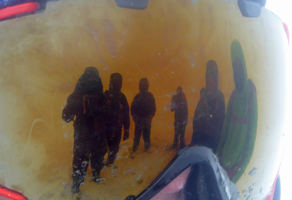
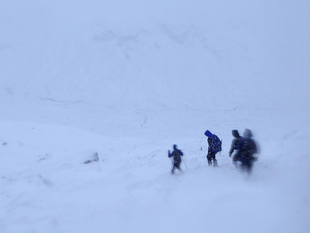
The brutal driving snow and hail soon has everybody putting goggles on
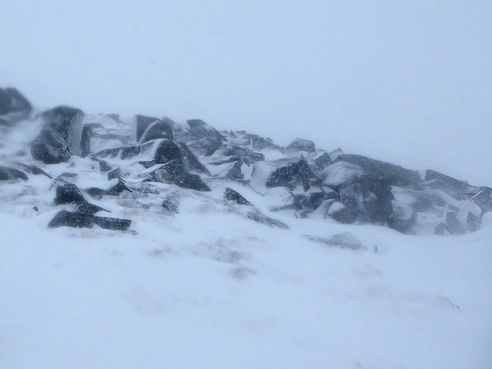
Rocks peaking through as we approach the last climb of the day
We reach Tolmount summit. With conditions being as they are, the plan A to continue to Tom Buidhe, and plan B, to loop around the South end of the glen, are abandoned and we will retrace the way we came up
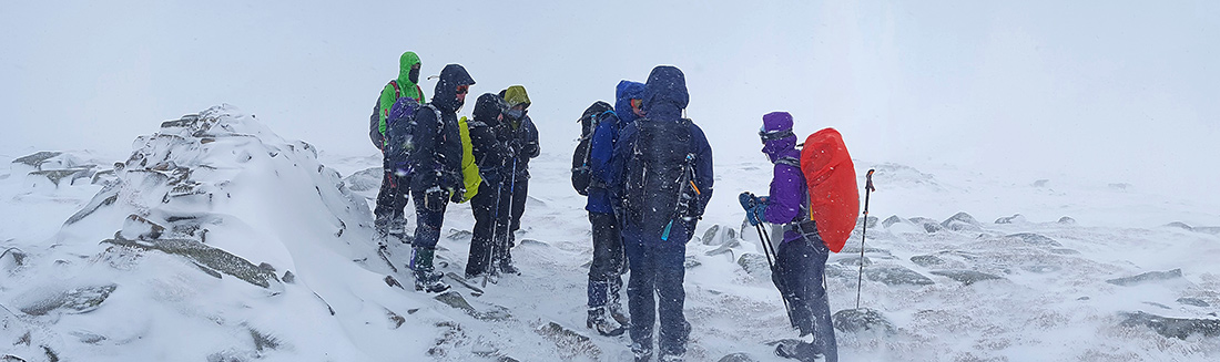
It’s tough going navigating in a whiteout. We cross check hard copy maps on GPS a few times. Reaching the top of the ridge we start the descent back into the valley
Back at the bottom, now with a deeper cover of snow

Tree trunk now almost disappeared
One of the party slips into a stream while traversing stepping stones. A chilly day for a soaking. We keep the pace up on the way back to generate some heat
Sun beginning to set as we pass the loch
Looking back West
Almost at the bothy, time for a quick finish off of the flask and don the head torch
Back to the car park in the dark. A tough day out
Heading back to the cafe, a pot of tea and reward myself wih 2 cakes, a high calorie kind of day out