Time to start burning the festive calories off, I headed out to Ballochbuie. The forecast was for high wind and some snow later in the day, but the planned route wasn’t too long and hopefully I’d be down off the higher ground before it deteriorated.
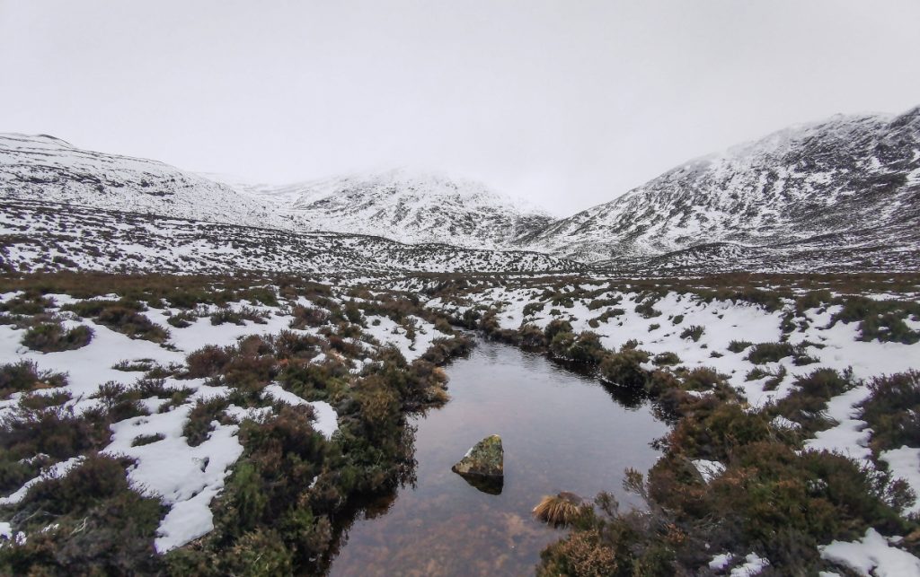
The aim of today was Meall an t-Slugain near Carn an t-Sagairt Mor, I’d been past it’s foot a few times but never to the top. At the honka cabin, I needed to head upstream and was unsure (no path on map) of which bank to take – there’s a little footbridge on the right side, and this leads to the start of a clear path.
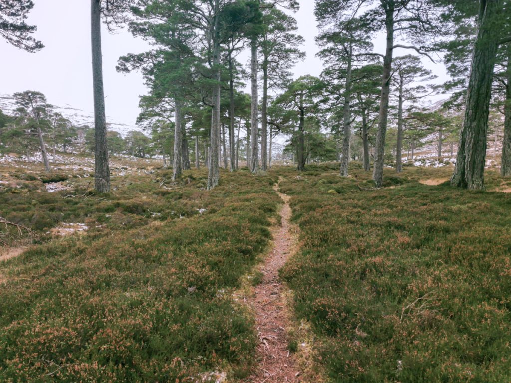
The path fizzled out after a short pleasant wander; I lost it and then refound it by spotting a little bridge. I’d had a look on strava heatmap prior to setting off but it had no clue, and aerial photography had a few fronds of track that could be path but just deer path.
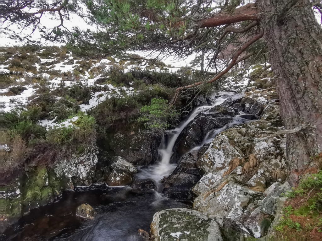
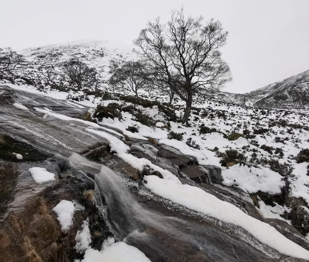
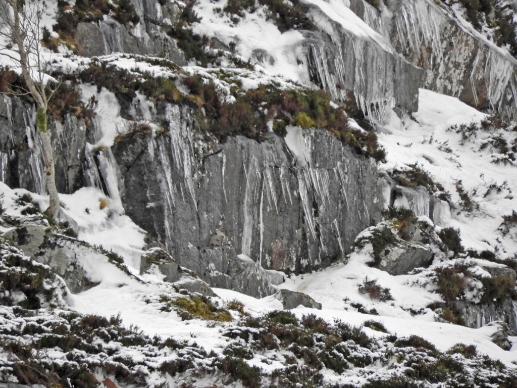
I was tempted to the stream side by the sound of waterfalls
The heather was deep though and I headed further away to refind what was now a thin stalkers path heading out of the trees. Once I lost it again I decided to cross the stream and survey the target ahead. The top faded into cloud, and the going was slow and tiring: deep heather or snow with an annoying crust that only randomly bore weight.
It’s steep on it’s north and east sides, and has lots of slabby/rocky facets which I didn’t think wise in the conditions to tackle. The safest way up around to the south then west was the longest, and with the slow going already I decided it would need to wait for another day and I was best to shortcut through the An Slugain gap.
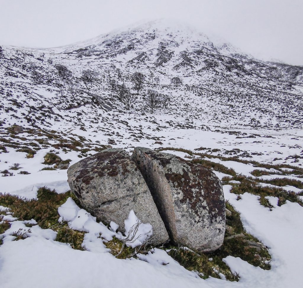
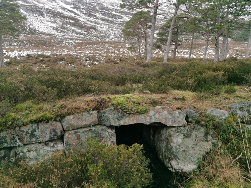
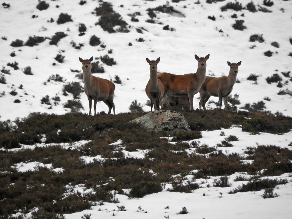
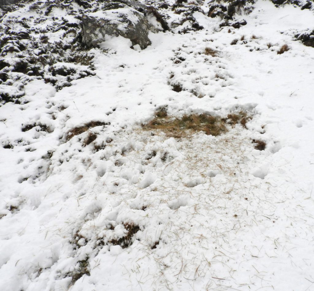
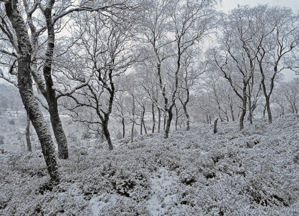
There’s a scattering of birch trees here but they’re all old: the area has a high deer density, so there’s no chance for any young trees to regrow. Some deer watched nearby with another larger herd higher up. There were a number of hoof-tramped trails and I used one of those to get closer to the gap.
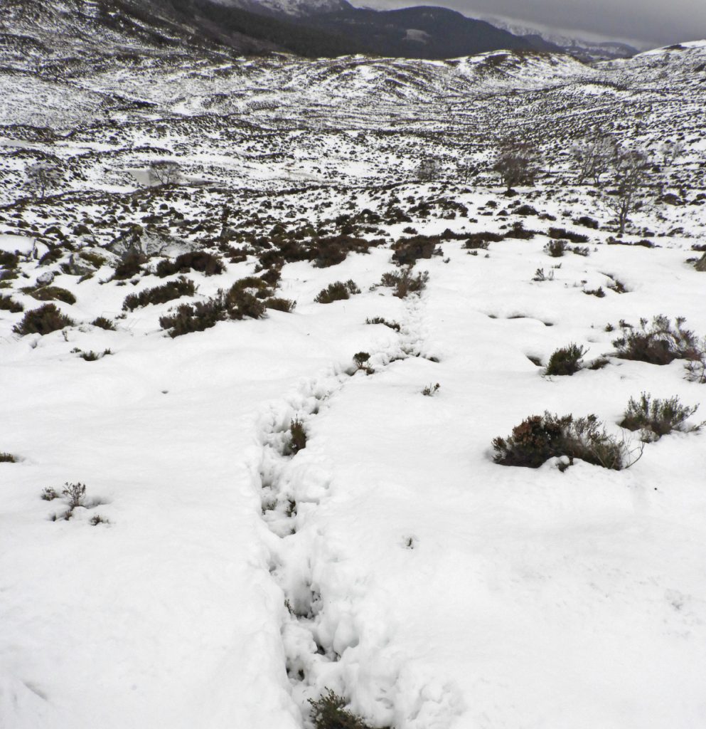
I had a good scan up higher on the gap’s left side crags, which was the lee side to look for snow loading – entering any gully if there’s a danger of avalanche from above isn’t wise as there’d be little chance to avoid and the snow can pile up deep and also fall further up and then along the gully. It looked quite sparse so continued on – but also carefully avoiding gaps between boulders, or going above the stream which had disappeared under snow cover.
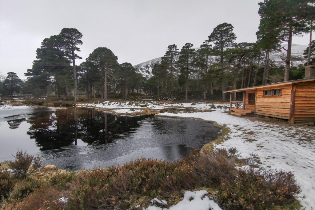
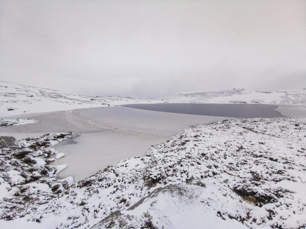
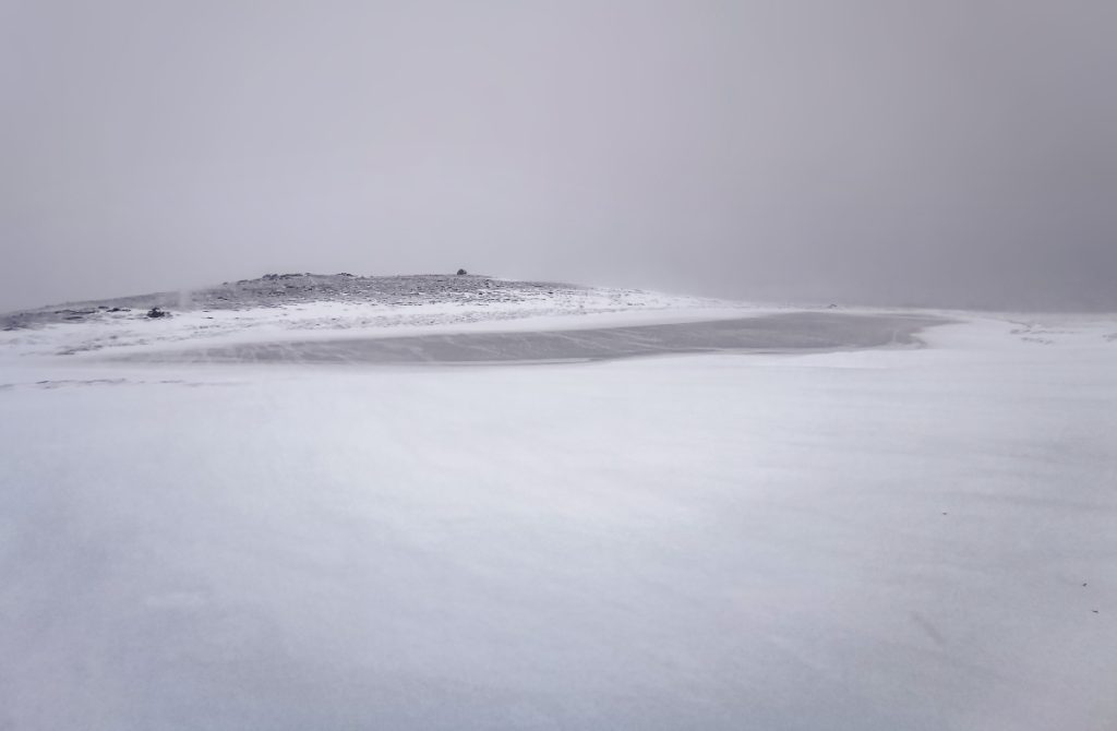
I continued to follow deer and hare tracks up through the gap (although hares can cross snow that won’t bear human weight) and emerged to the frozen Loch Phadruig. I decided to stop for a break here, the wind was getting higher and wouldn’t get any better higher up. I decided to put on an extra layer of insulation, so now I had my mountain equipment eclipse base layer, the added mountain hardwear airmesh fleece then topped with a montane dyno soft shell. This soft shell errs on the side of breathability over windproofness so was a bit undergunned for what may lay ahead, but I’d stick the waterproof jacket on if needed.
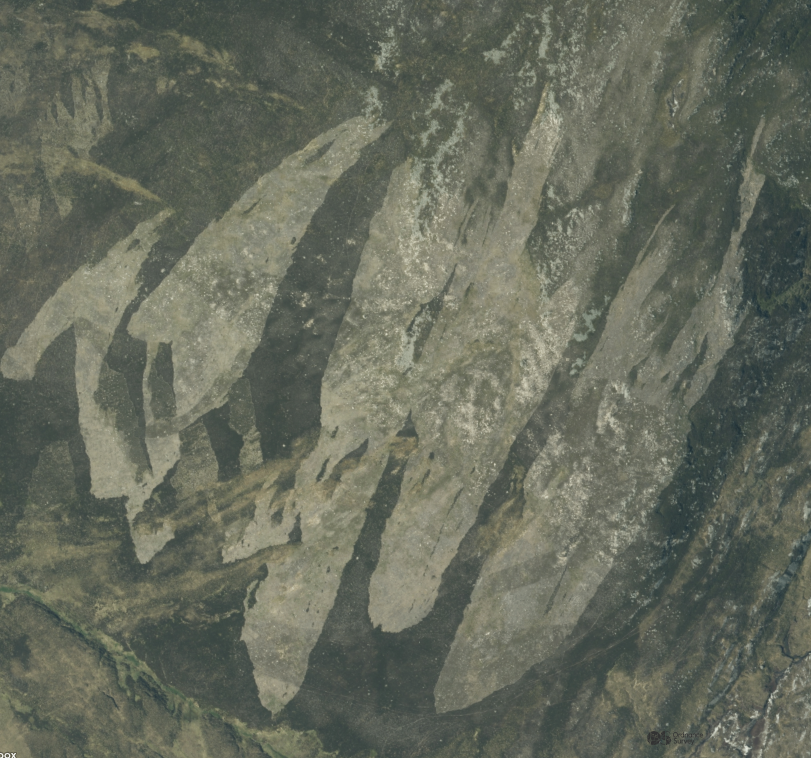
At 795m of Creag Loisgte (the burned hill) would be the highest point of the day. Although likely named long before the Victorian practices of muirburn for shooting, a current aerial shot shows “same as it ever was” with huge swathes muirburned carelessly to dust. Nearby Glen Callater has suffered much of the same excessive burning with scorched areas that have never recovered.
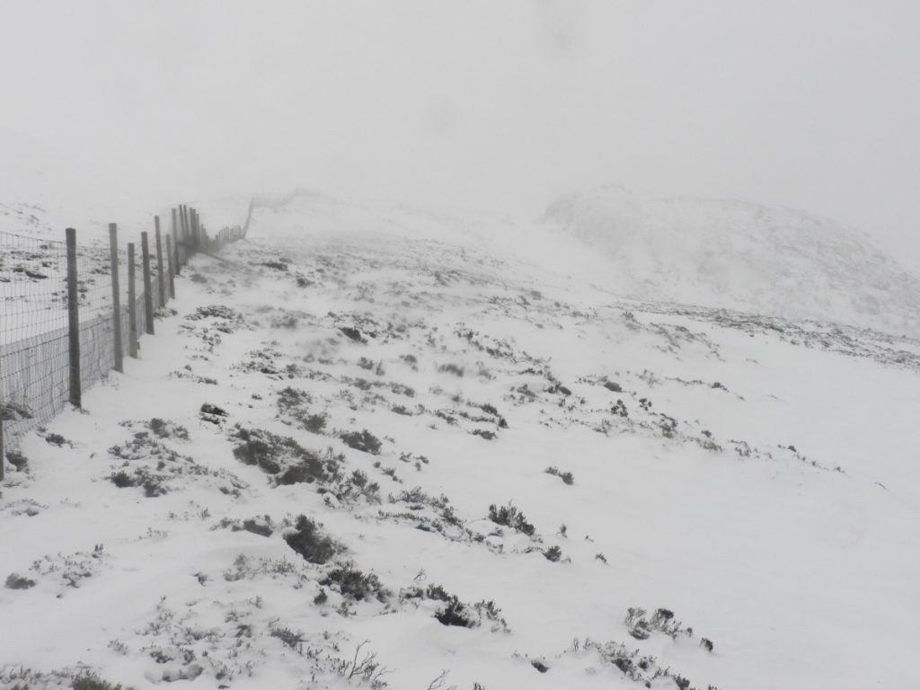
Reaching the top the wind was ferocious and I found a small ledge to shelter enough behind to dig out the big gloves and waterproof jacket without losing rucksack contents to the storm. The faint path along the ridge north stood out with a bed of snow and I made onwards, chased by whirls of spindrift and flurries of snow.
Reaching the northern top I looked over the steep edge and decided against the shortest ascent. There was a cornice of windslab snow forming in it’s lee, it was convex and in the gradient zone for avalanches, and I couldn’t see if it was like that all the way down without committing further over the edge; I decided to scout along to find a safer way down, finding a lumpy gap that was rough heather rather than smooth solid snow.
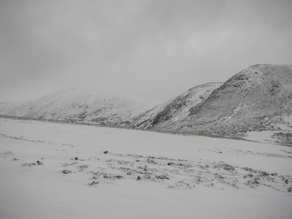
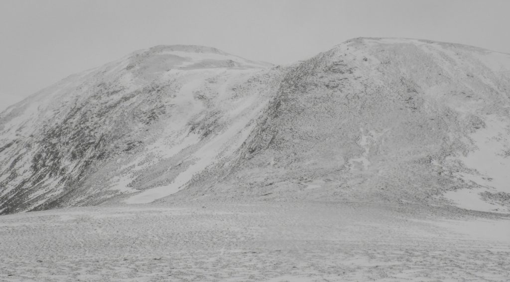
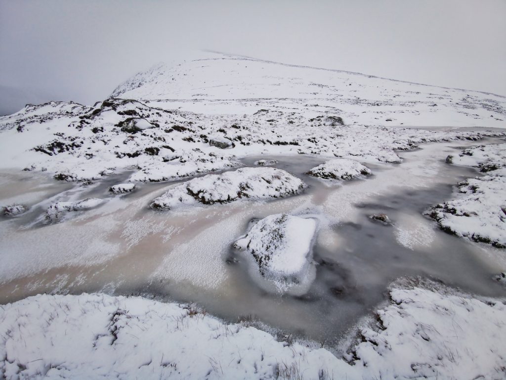
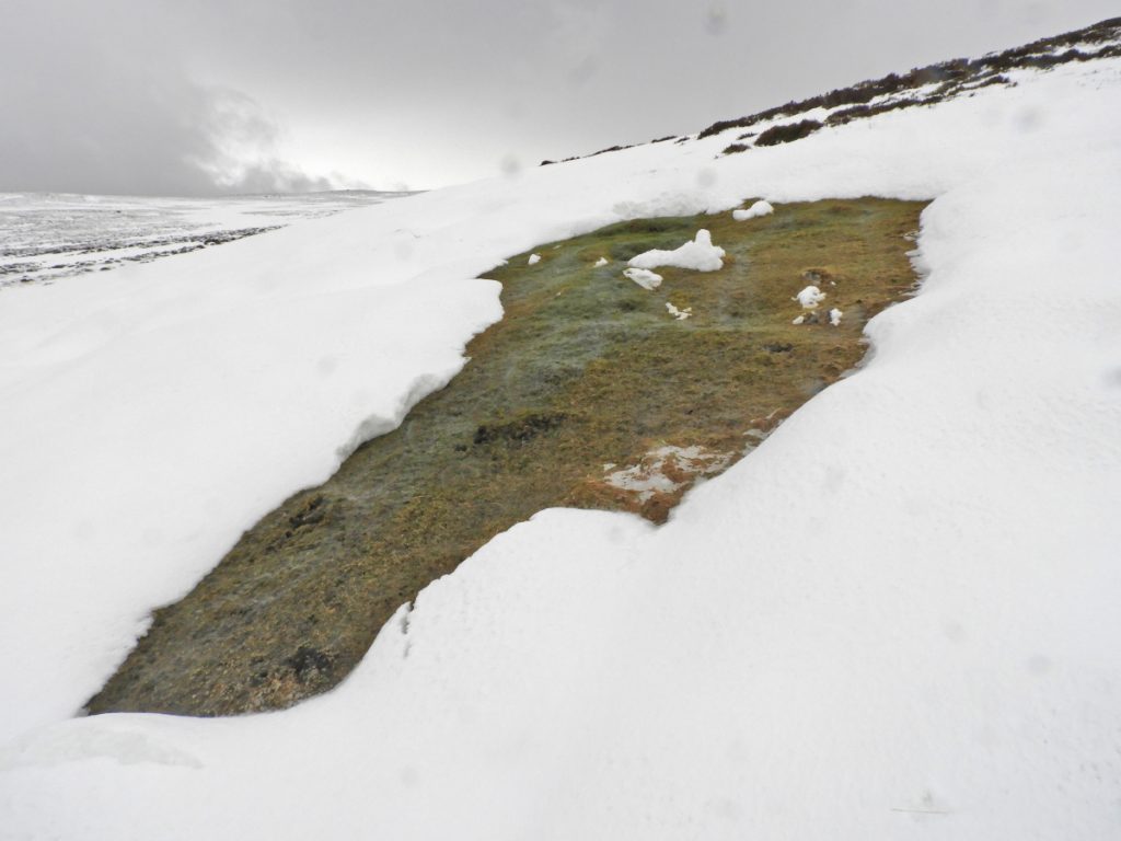
The col to Creag na Leachda, Coire Gorm, had a few hard old snow patches scoured clear and slippery and the odd mossy bog stream patch glowing green amongst the monochrome, befitting the place-name : green hollow, gorm not always being blue.
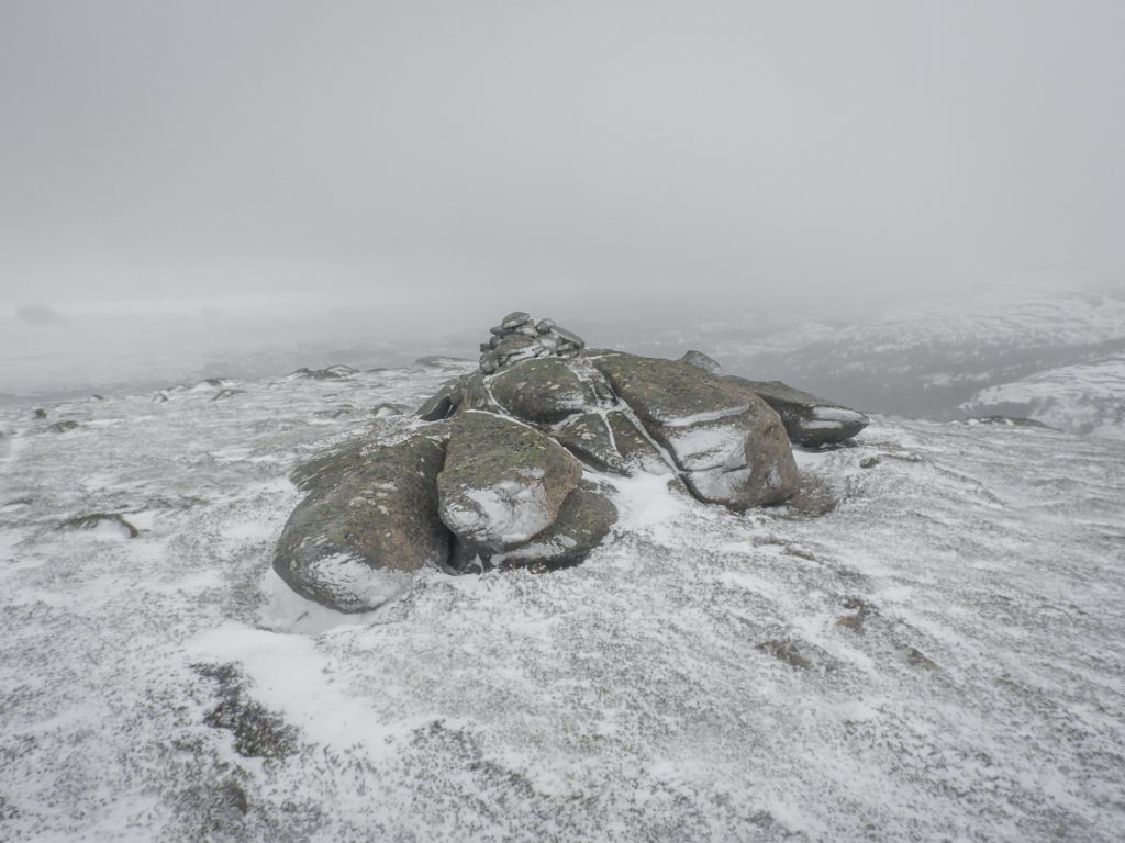
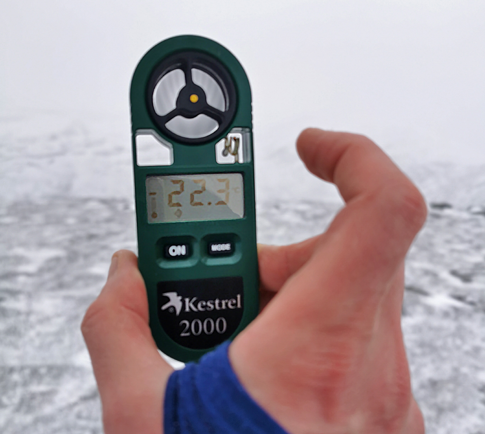
Reaching the top of Creag nan Leachda, craig of the flat stones, the storm had reached full force, hurling waves of stinging spindrift and vortexes of snow against this warm-blooded intruder. I didn’t hang about nor get the fine view down across Ballochbuie as I had the last time here. I briefly degloved to measure the temperatur before taking a rough bearing to get to the lower top and then down to some shelter in Clais Mhor.
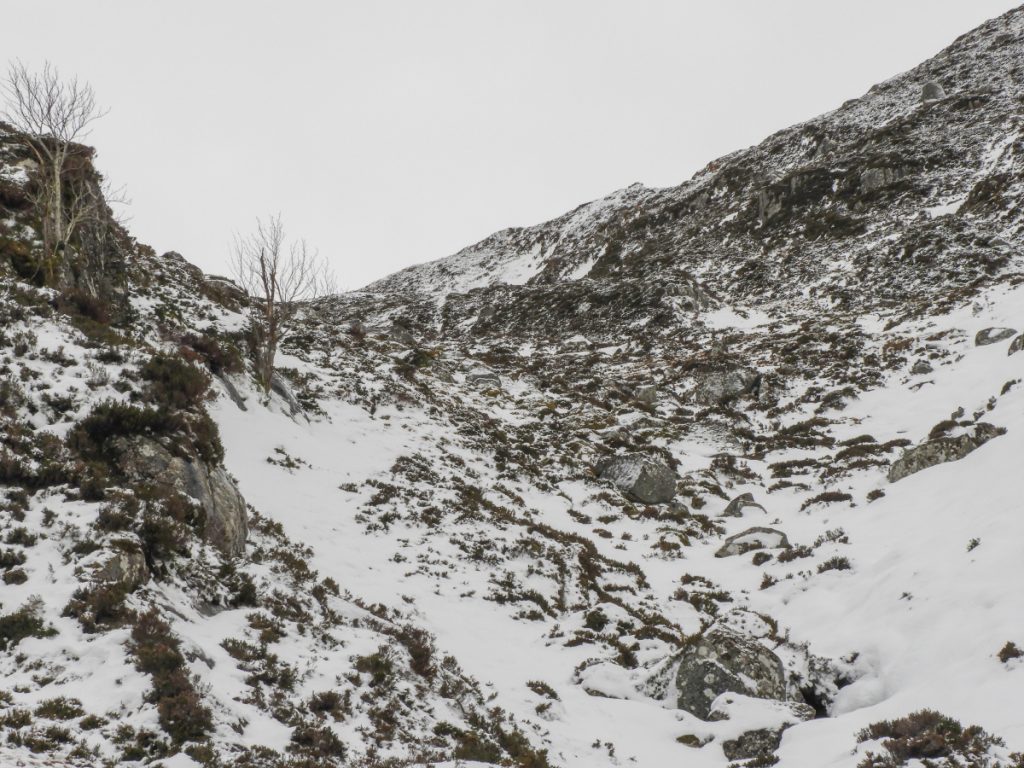
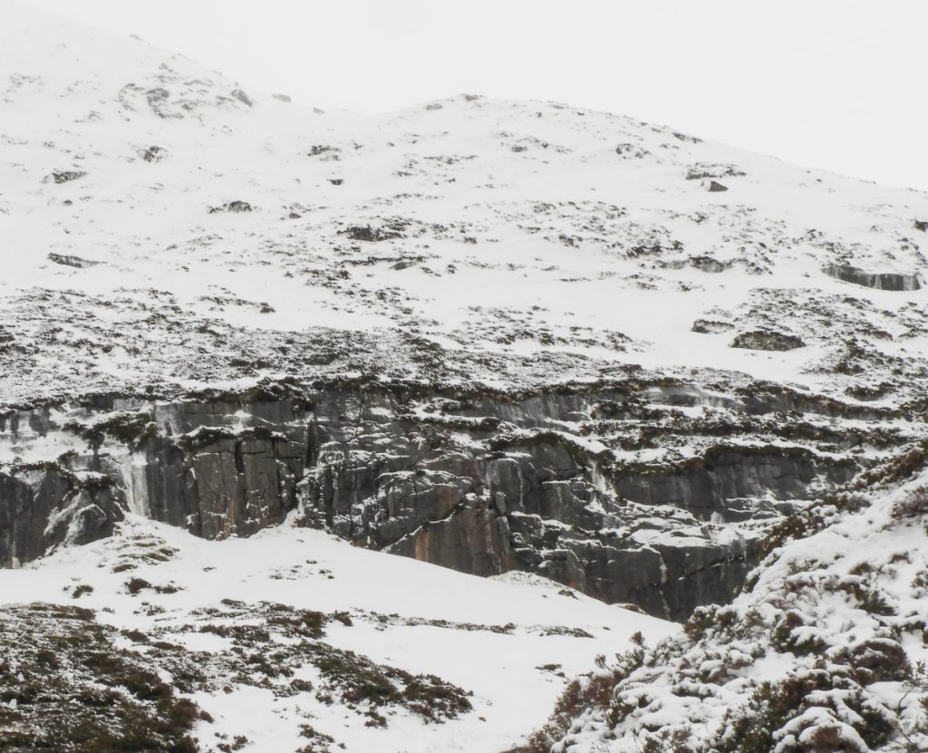
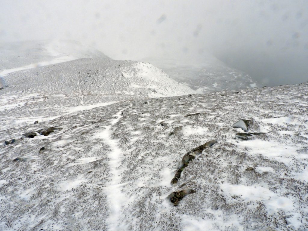
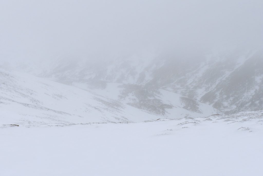
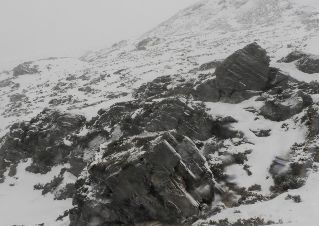
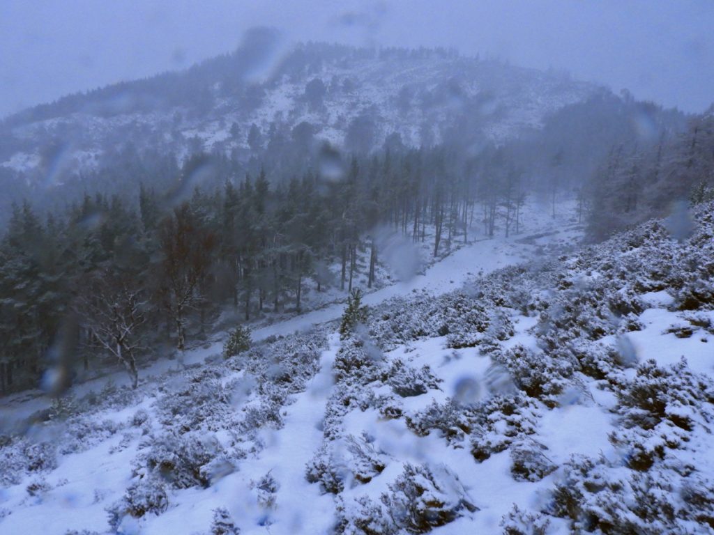
I decided to bypass the complexities of Millstone Cairn’s rugged edges, disected the deer fence then began the descent to Clais Mor. This replaced the steeps of Millstone for thrungy vegetation peppered with boulders and small ridges and pockets. This photo looking back from the next hill has a good view of the lumpyness in this area.
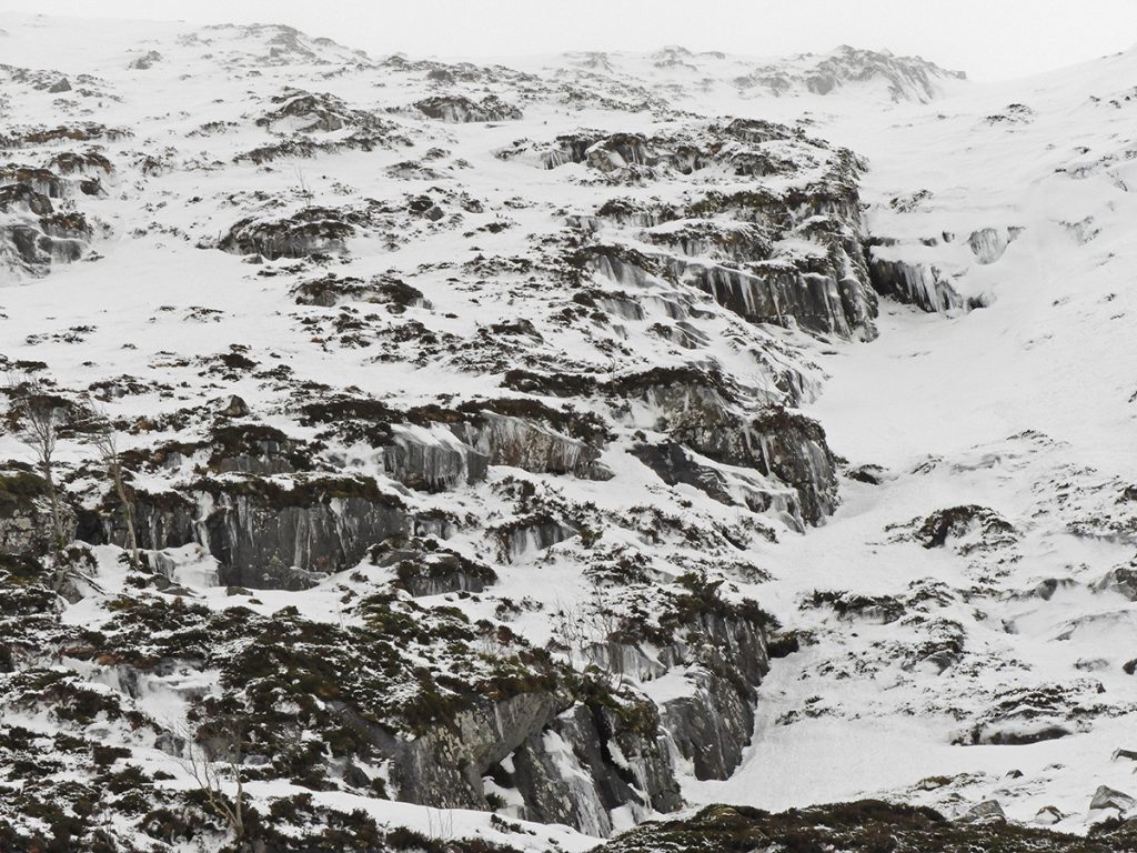
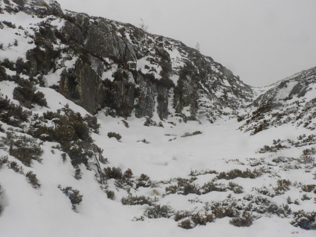
Clais Mhor is a deep incision heading down to Ballochbuie; here at it’s top it splinters into a few rocky gullies and nooks with the odd bus-sized boulder. The day’s snow-bashing and heather thrunging, combined with the wind-battering had begun to tire me and I could feel odd twitches in my legs, signalling the potential for a cramp. I decided for another break and some refuelling before the final push to get over Carn nan Sgliat before sundown.
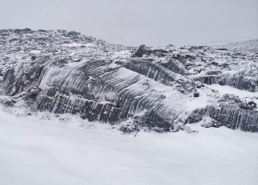
Heading up the side there were a number of young pines poking through the snow, freed from being deer-munched by the fenced enclosure. Also spied was some interesting grooved rocks, the striation visibility enhanced by the snow. I’m not sure whether these are caused sub-glacial erosion or sedimentary layers.
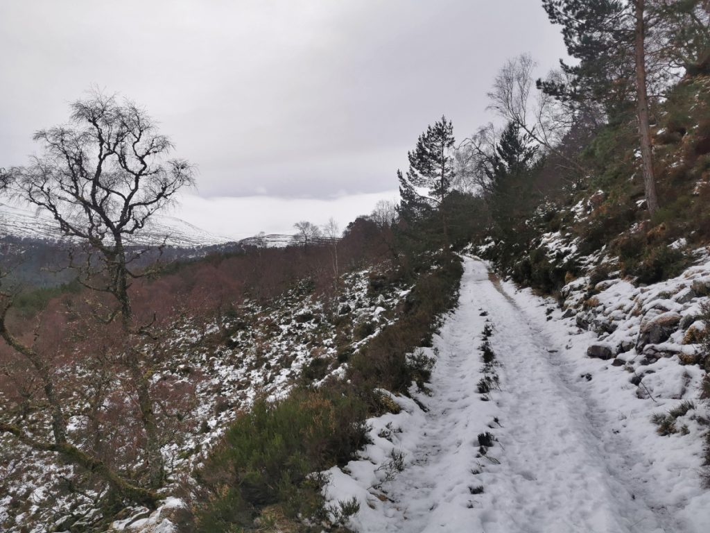
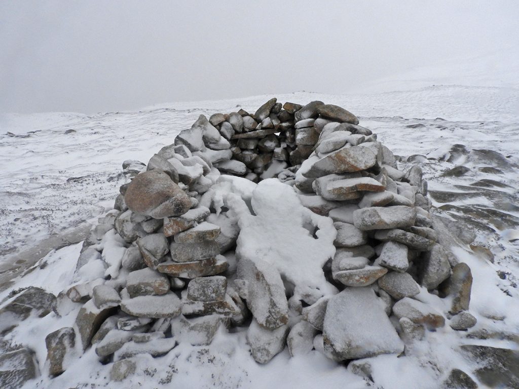
After a quick retrace of footsteps to gather a dropped pole (a worrying sign of exhaustion I’d continued for a few minutes before realising I only was walking with one) I reached the snow-filled shelter cairn. From there I made over to the old wall which the path downhill mostly follows, one large drift allowing for a short glissade, then back to thrunging about through deeps snow or heather, none having broken trail here recently, but now assisted by gravity.
In the cover of the woods, the snow changed mood and now drifted down peacefully. Distant sparkling lights resolved to a busy road: the skiers heading down from Glenshee, the snow-gates likely to imminently closed causing an exodus.
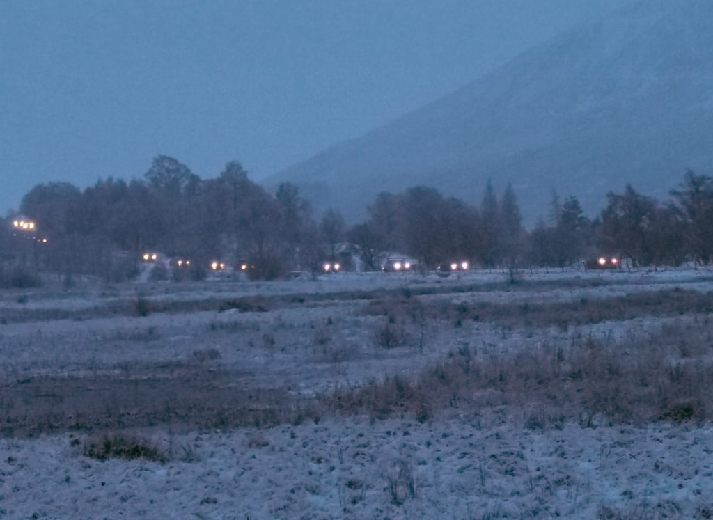
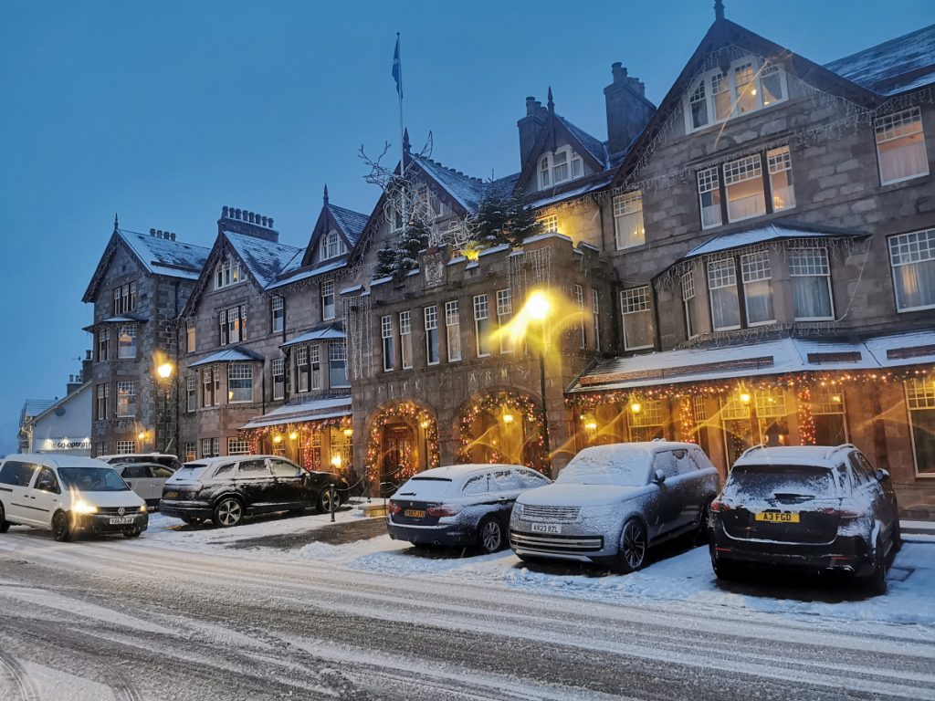
The Fife Arms sparkled festively as 2023 came to a close. A tough gig to finish off with; only about 18km but rough going and another helping of “real winter”.