I was roused from my post-festive torpor by a shout from a friend who fancied Ben Avon on bike, a stiff day out that would be the ideal adventure to burn off some mince pies.
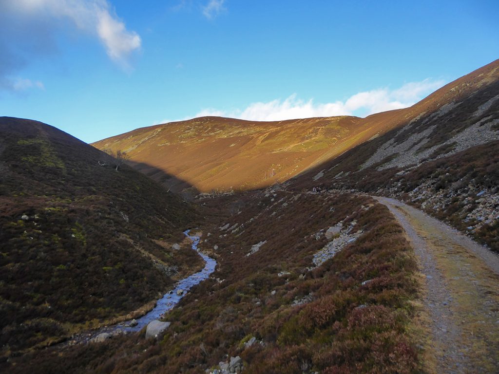
From Altdourie up through Glen Slugain is a long slow winch but not too much of a chore on a clear and crisp winter’s day.
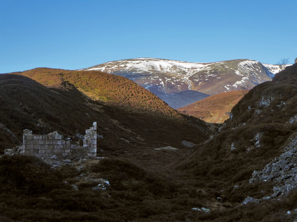
It had been a while ago since I’d been up this way, and last time had been on foot so I had did a bit of internet snooping on what people thought of the route on bike. My friend had looked on some hill walker sites that suggested best to leave the bikes at the hunting lodge ruin, but better MTB forum intel said there were a couple miles more of worthwhile track beyond.
We passed the fork down to the fairly glen, but then at another fork while on the path to the high right, headed left which takes you down towards the ruin. Best to stay right and head higher up.
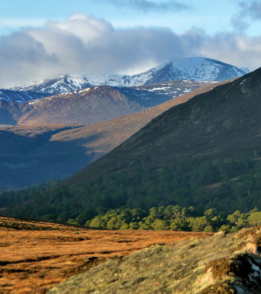
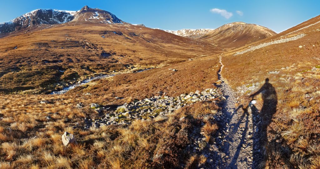
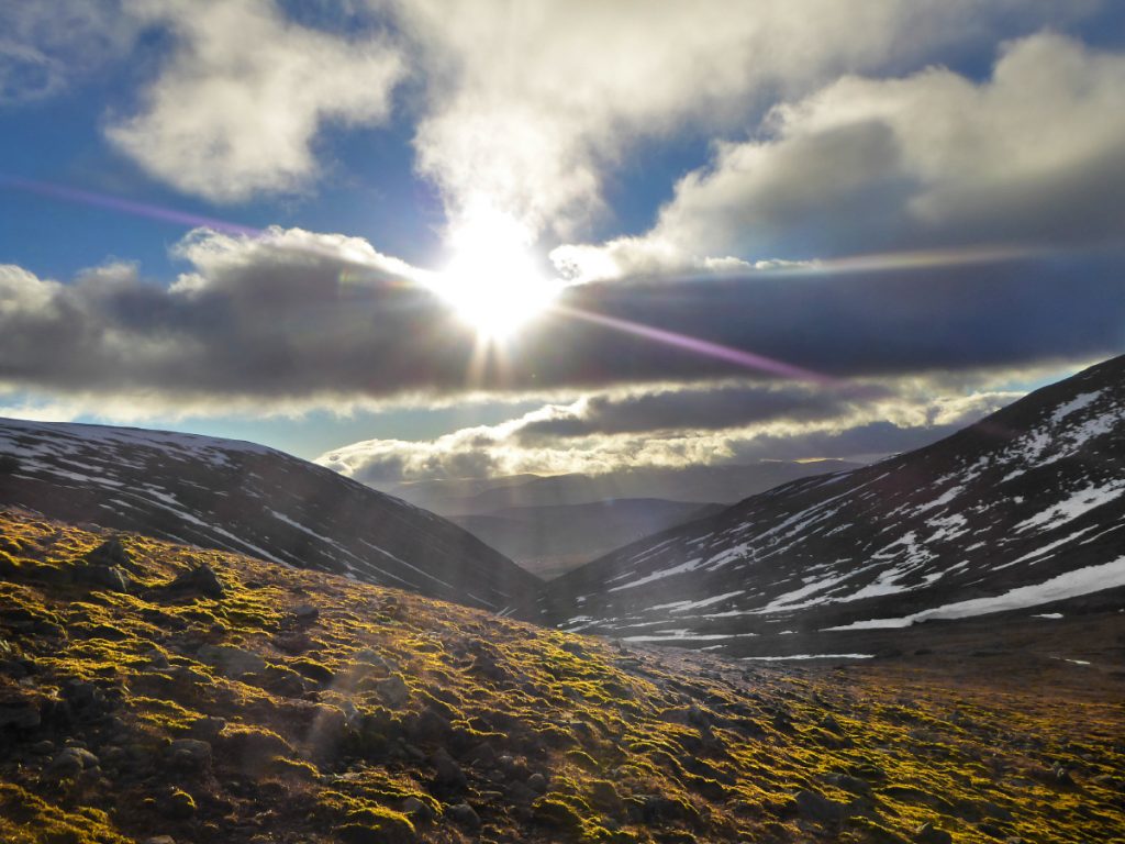
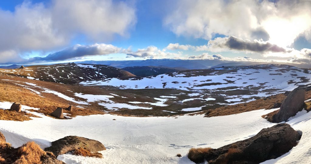
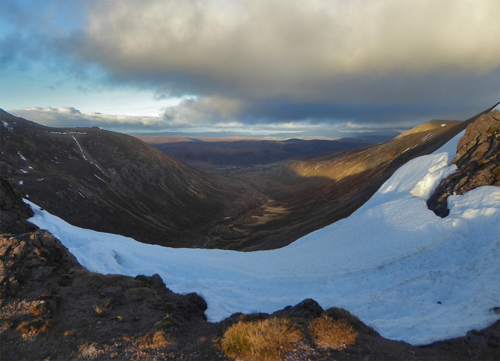
Past the pond there’s a bit of a carry up and across the stream, but then topping out of the dank rocky confines of Slugain, the path levels off to a glorious eye-popping panorama of snow kissed peaks, ooft.
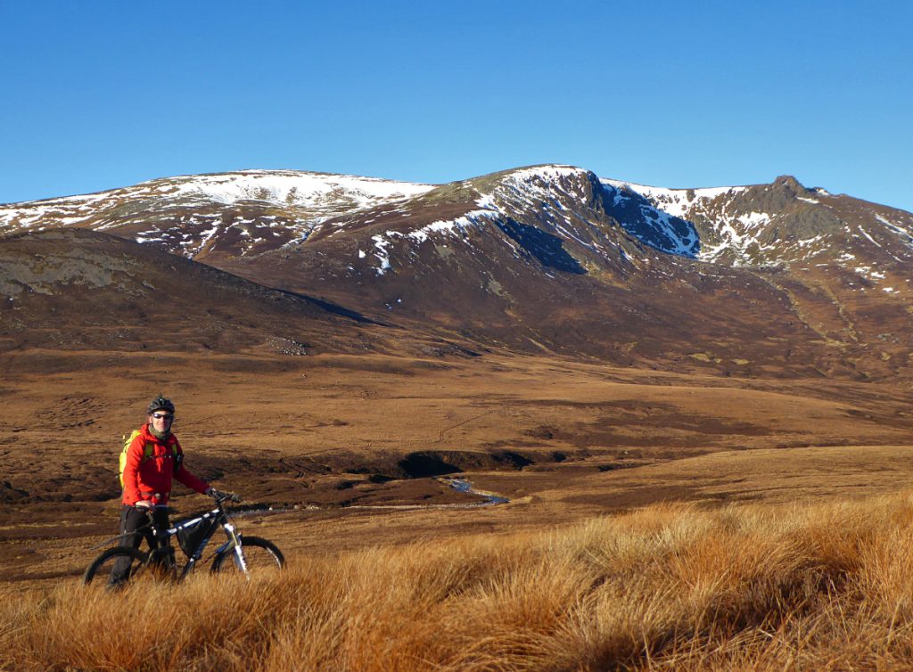
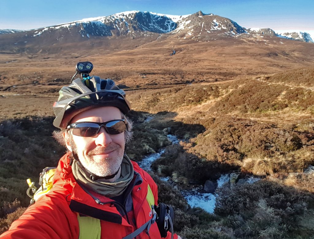
Time for a wee stop, soak up the vista and some “wish you were here” action photos
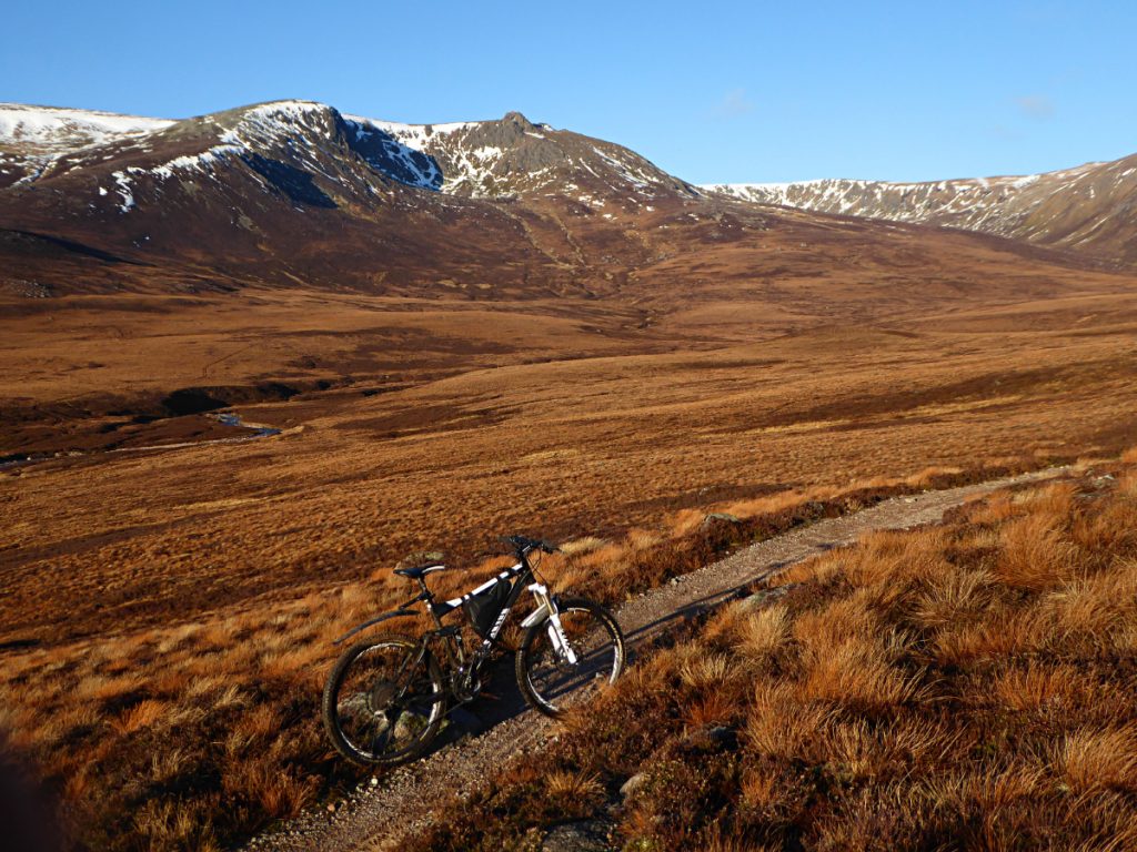
Glad we’d pushed it a bit further as I could see what looked like a decent path snaking deeper into the mountains as far as the eye could see.
Once rolling again we soon found the many drainage channels, some in-outable (or jumpable if travelling at speed) some not. I erred on the side of caution, stepping over the biguns, it was too early in the day to have a drain-gremlin gnaw on a wheel rim.
The first ford was easily reached and the path beyond still good
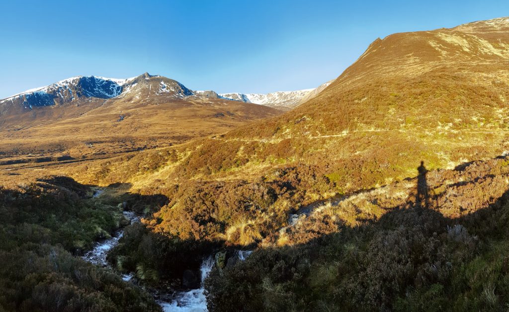
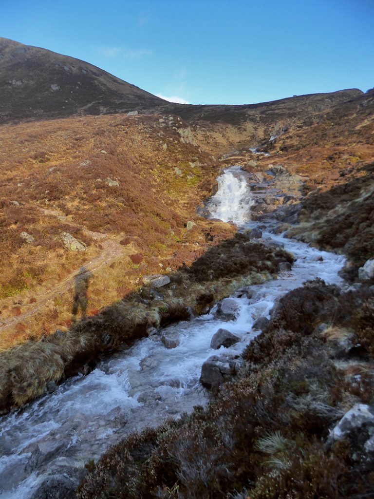
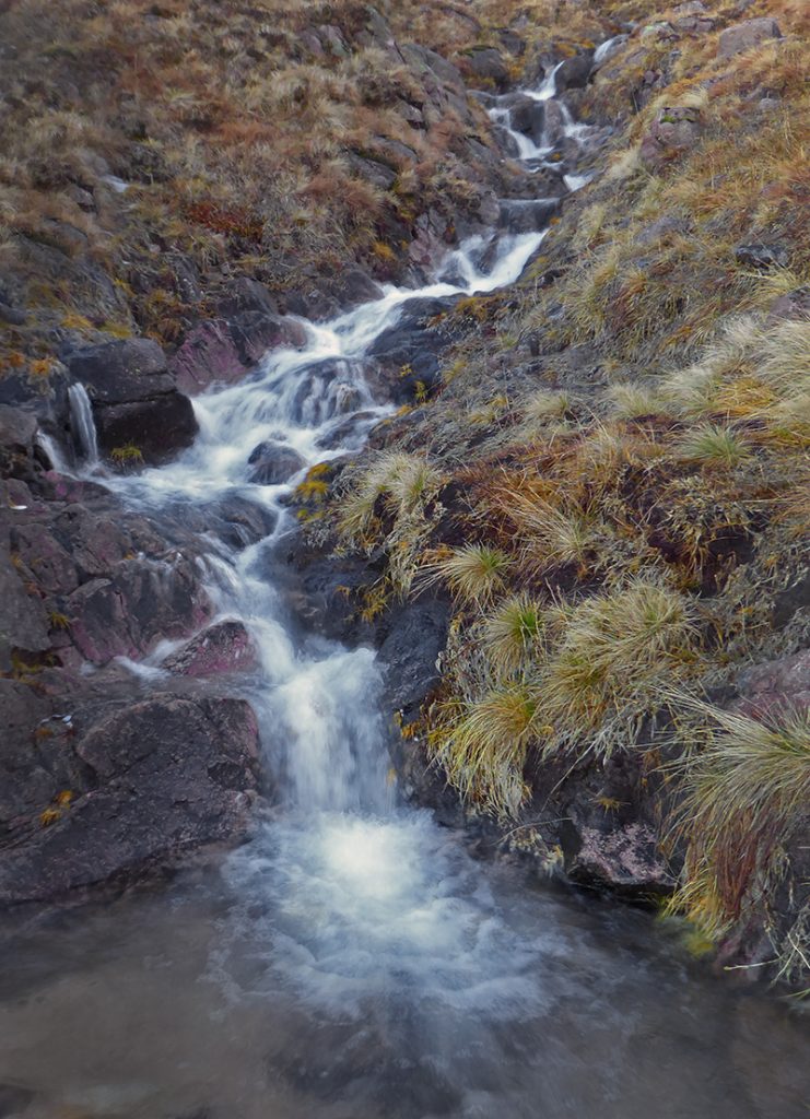
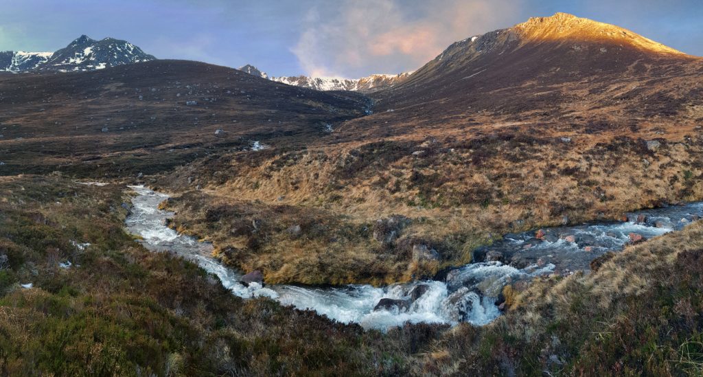
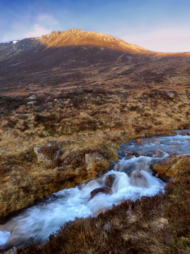
The second ford has a nice waterfall and the path beyond steepens, this was the drop off advised online so we decided to dump the bikes here and proceed on foot.
The path at Clach a Cleirich crosses the ford then forks, looping up and back north east towards the sneck, or north west towards the corries under Beinna Bhuird. In summer we’d have probably tried a bit further on wheels.
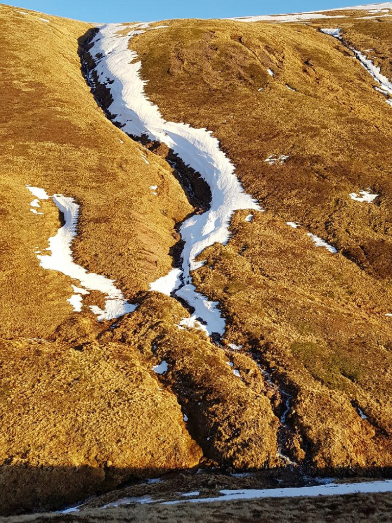
There was a bit more snow within the valley of Glas Allt Mor, some large and steeps sided patches, unkickably hard and icey, so we had to range up and down the hillside looking for gaps for our non-cramponed feet.
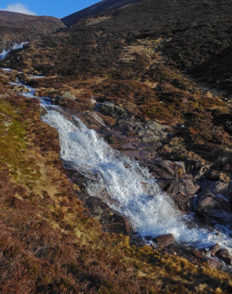
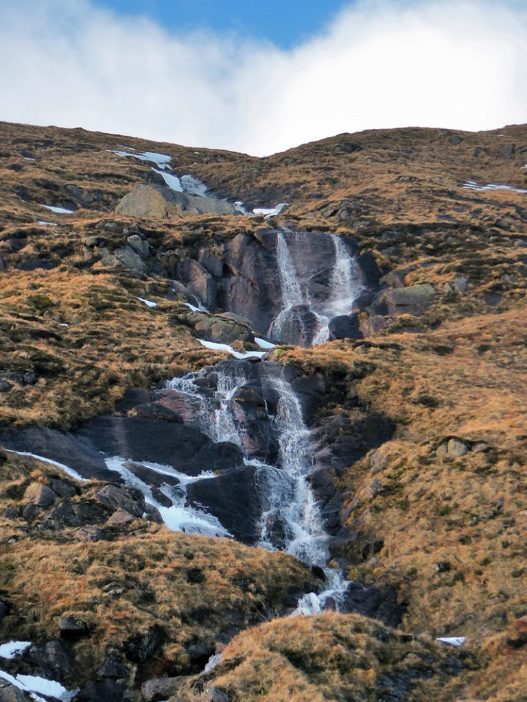
High on the side there’s a big erratic boulder with an undercut on the far side.. possible place to build a wee shelter. There’s a few nice waterfalls too
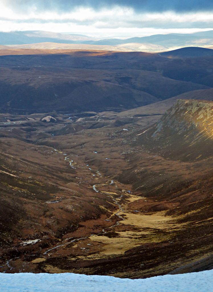
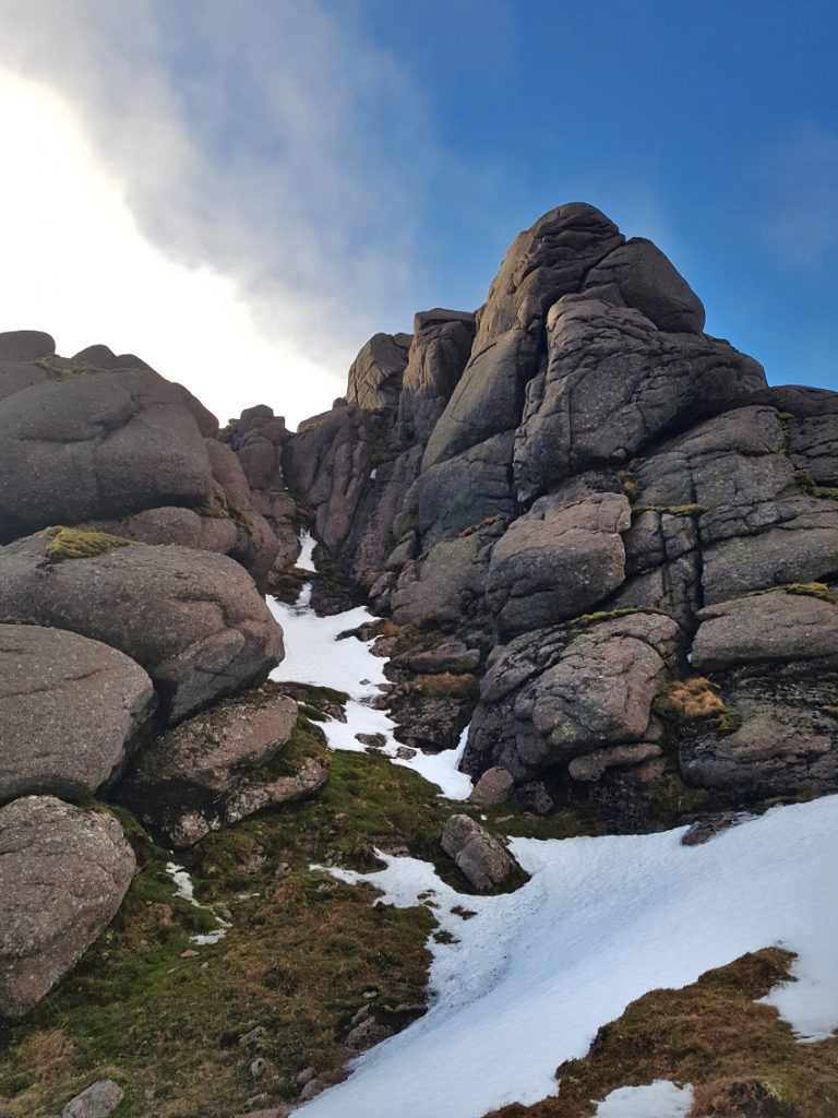
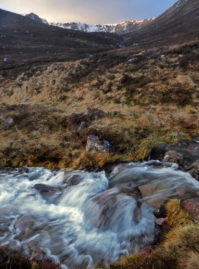
Looking back down the gulley was a reminder why the efforts were worth it
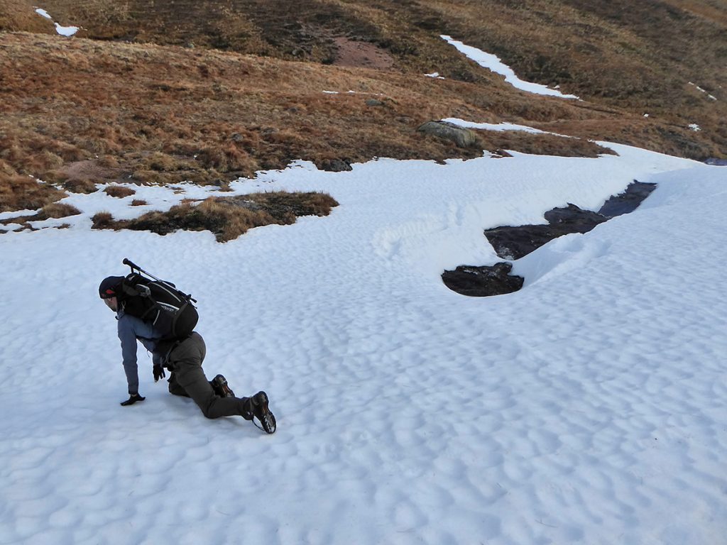
Reaching the top of the burn, it disappeared under snow, bridged by an unknown depth or strength that would avoid an icey dunk, so crept over on all fours to spread the weight a bit
The Sneck marks the end of the valley where it plummets down to the north into Slochd Mor and on to the river Avon, Beinn a Bhuird to the left and a loose gravelly path up the the Ben Avon plateau to the right.
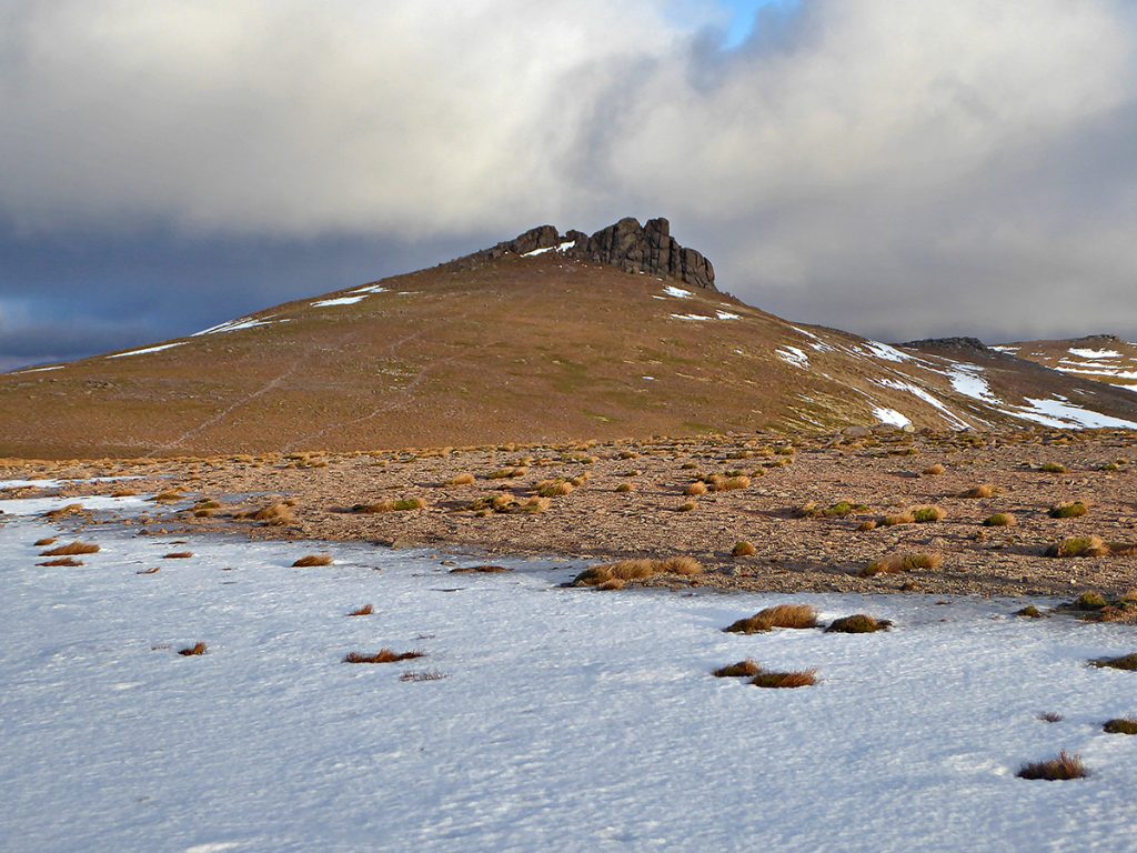
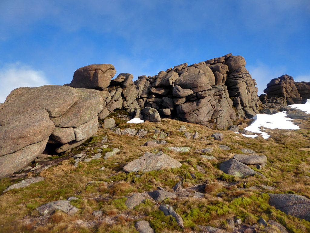
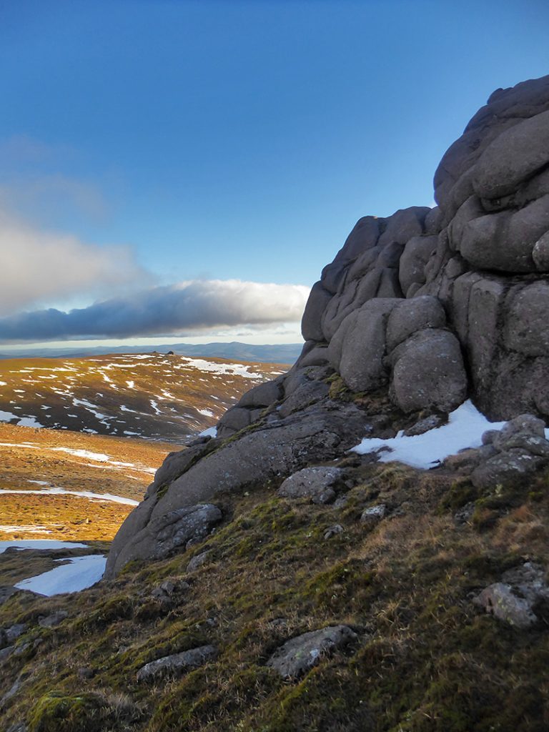
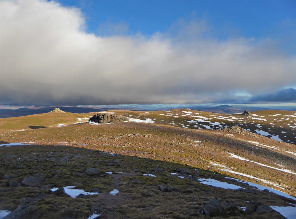
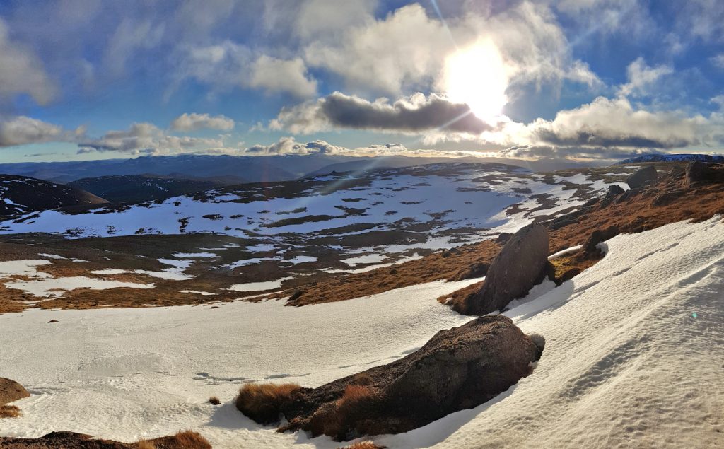
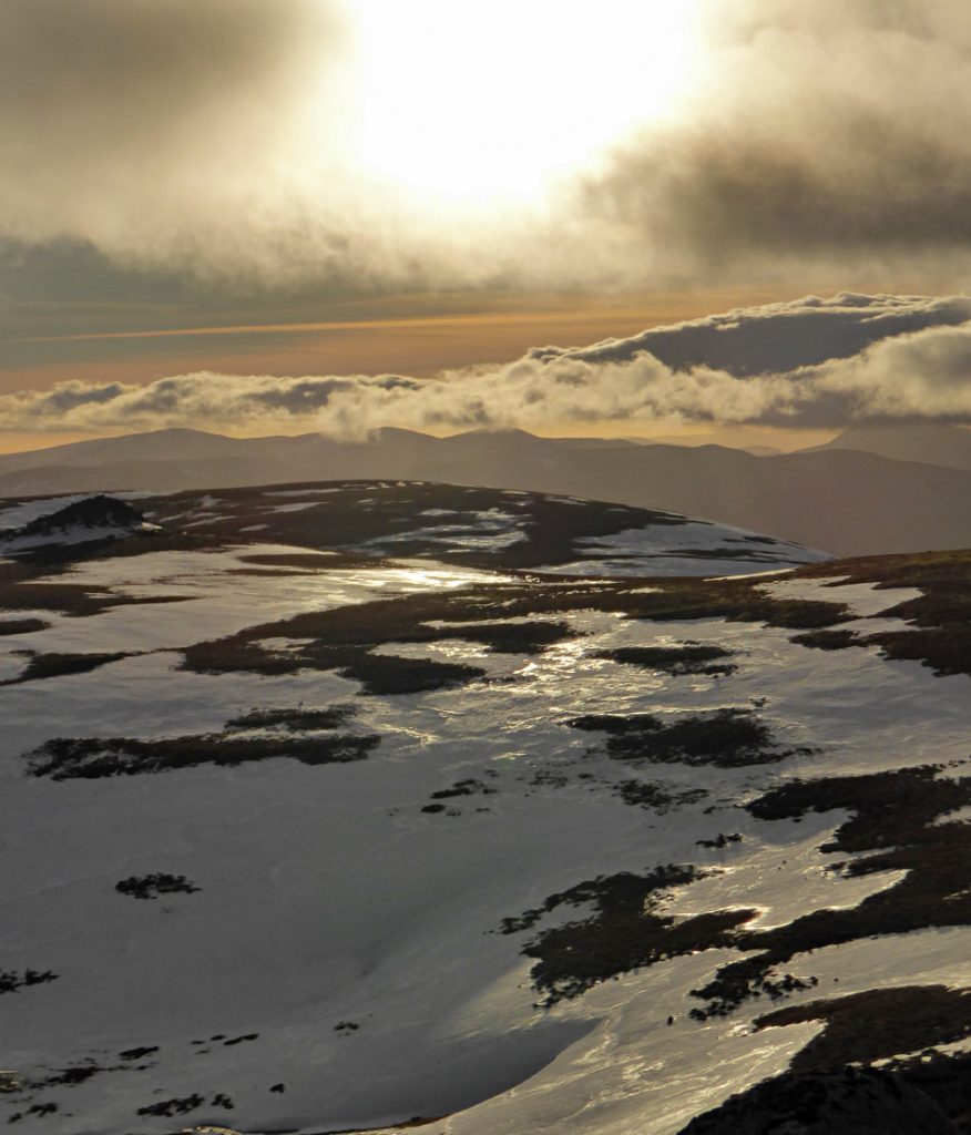
Once ascended, there was a bit more snow covering the plateau most of which we can bypass fortunately. We made to the highest point at the tor of Leabaidh an Daimh Bhuidhe 1171m high and then broke for lunch round the back out of the wind and with a fine view to the south east.
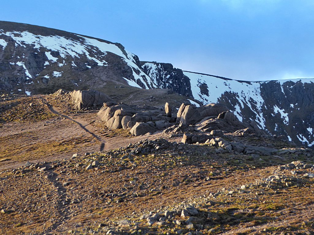
Some of the other tors
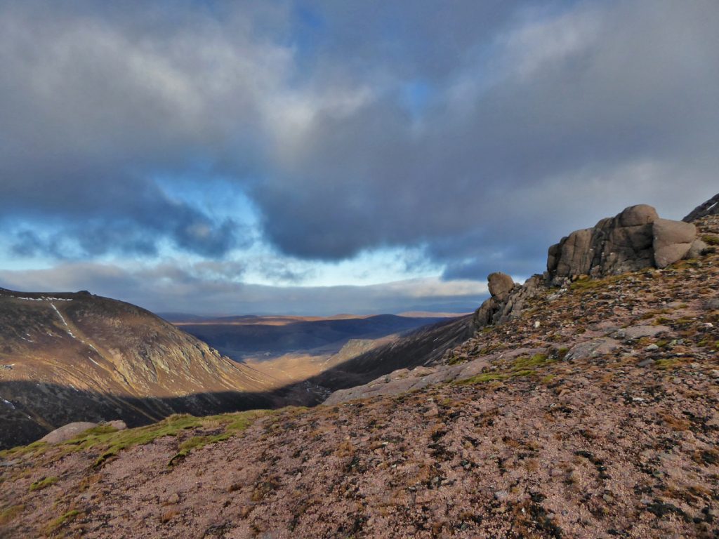
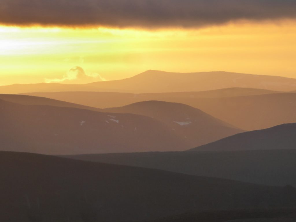
Lunch view
With daylight short we didn’t dally too long, heading back down the way we came.
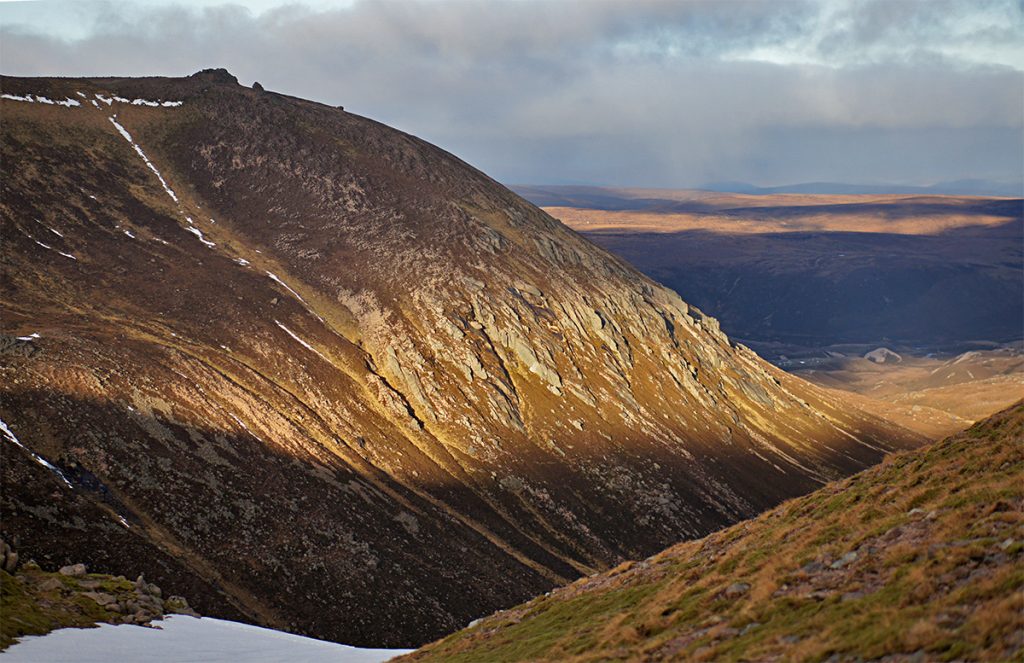
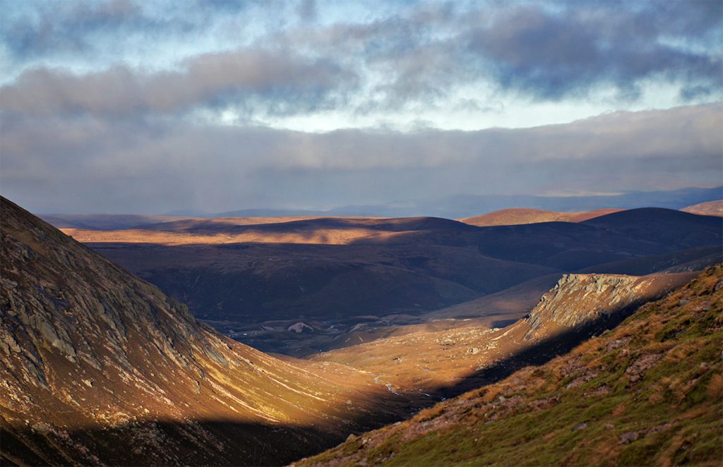
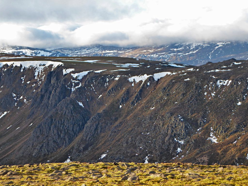
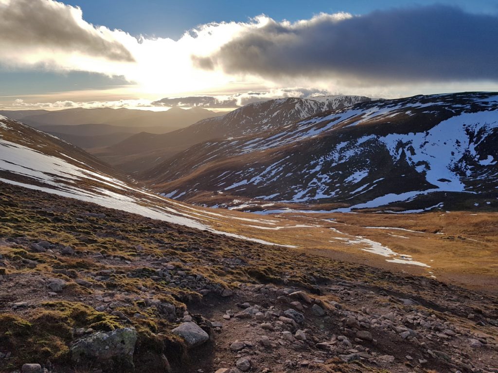
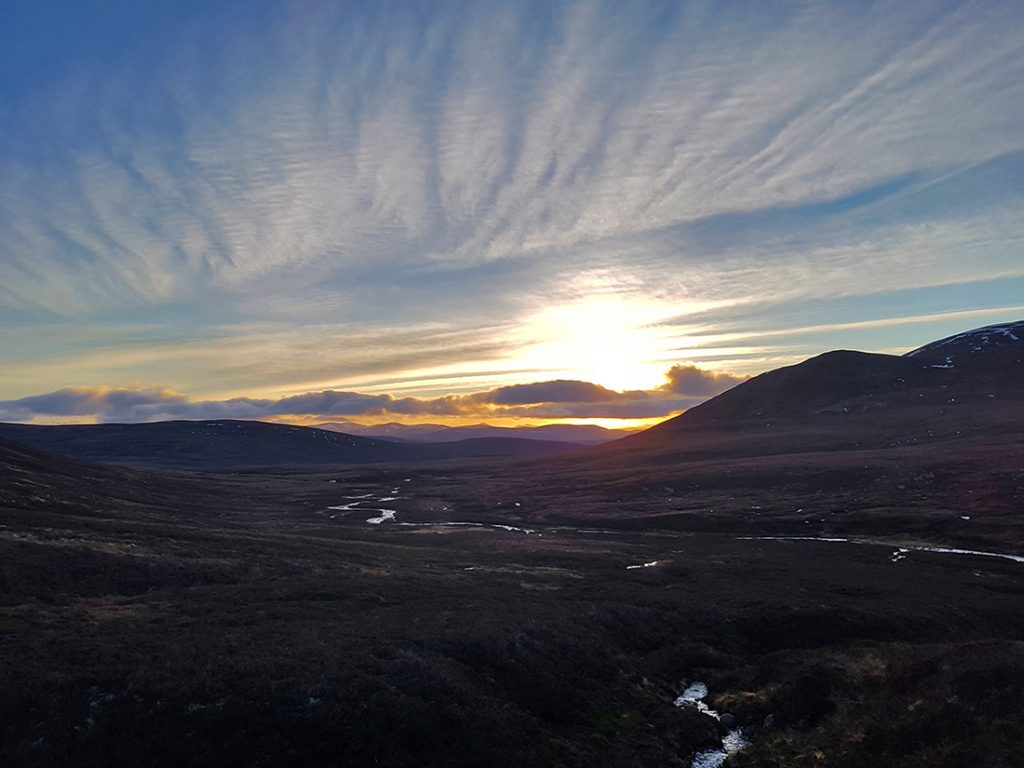
Once back down at the ford we eyed the vista of sunset glows around the crags before saddling up to whoop it back down the hill.
A choice to try the fairy glen fork to the south side of the Slugain burn was taken and regretted, speed curtailed by teetering down a steep trail awash with loose, mossy and angular rubble, an invitation to over-the-bars and bleed avoided by some judicious walking.
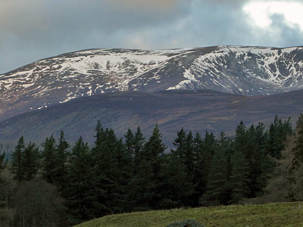
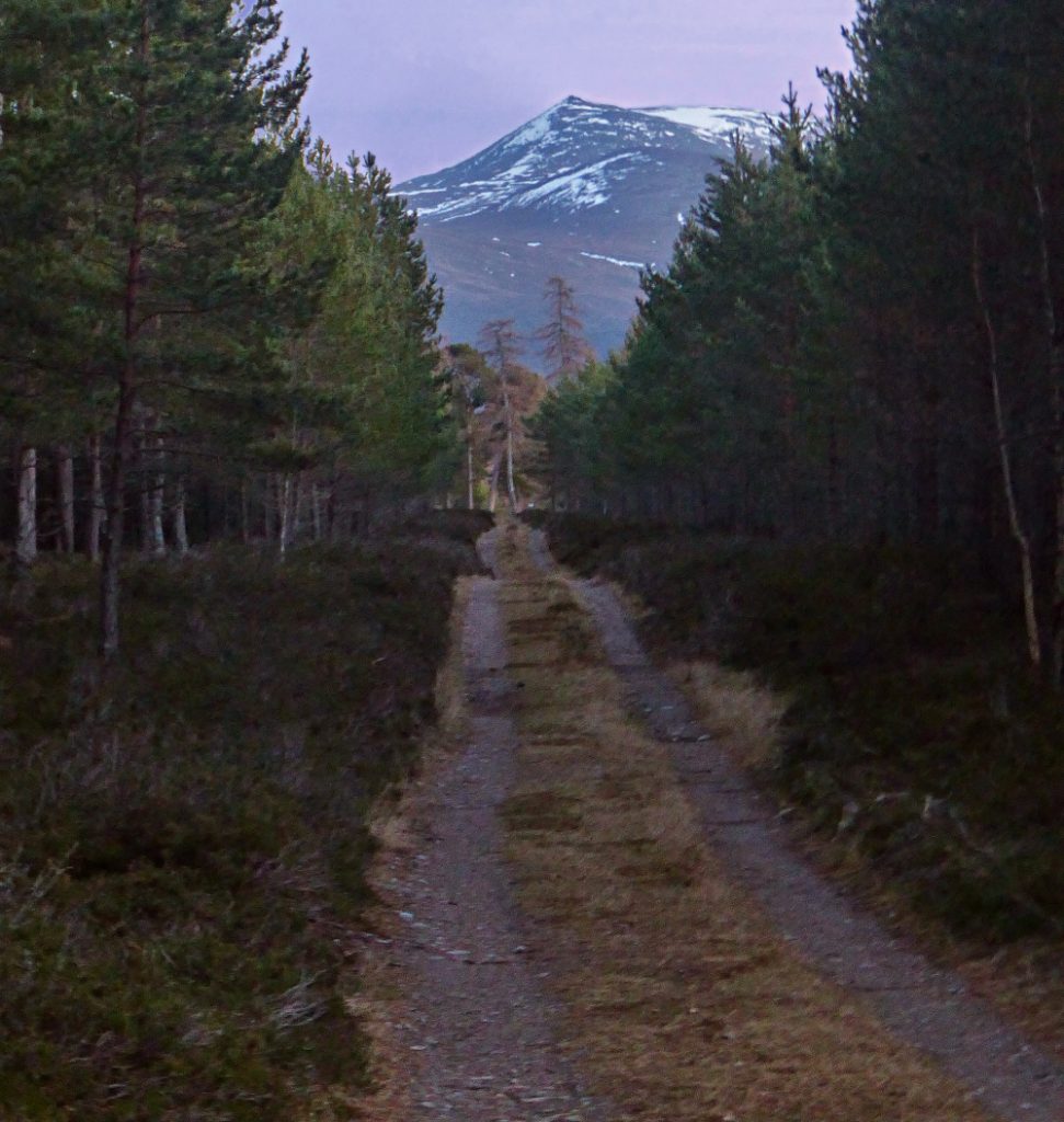
Once past that though it was full throttle down the darkening glen, shimmering through fords, and whistling back through the forest, a distant hill top showing the way home after an awesome day out.
Thanks, Wilbur Burgett for moab.in