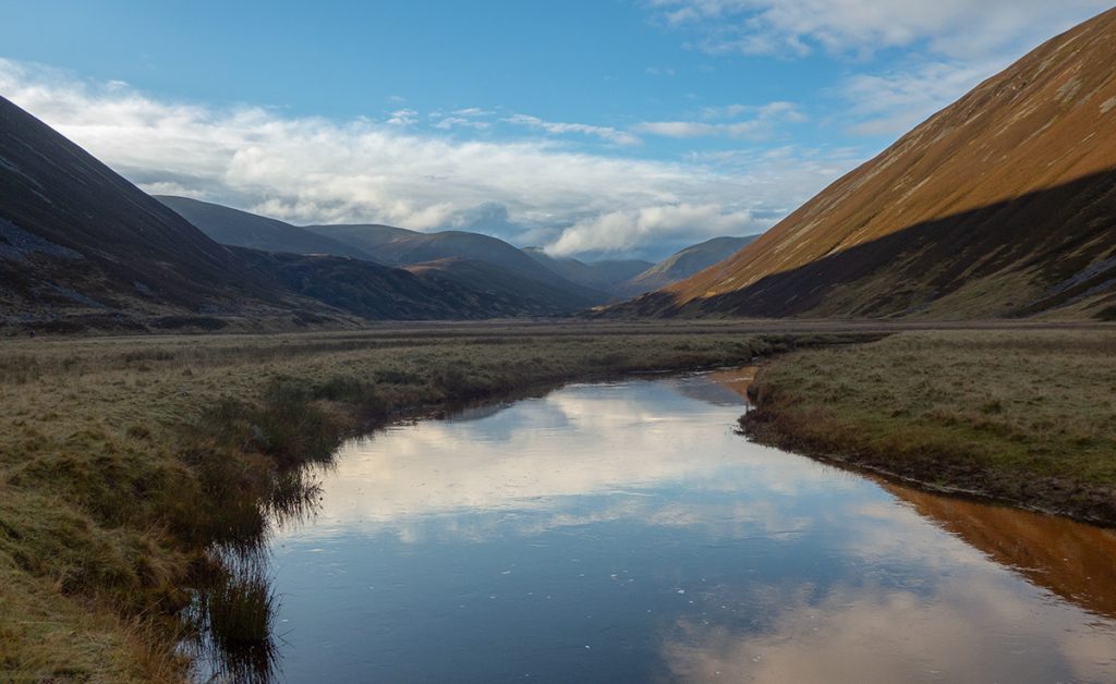
October saw storm after storm merge into a dark continuum of rain and gloom, so it was most welcome that a Cairngorm club weekend at our club hut saw a clear spell develop and a good turnout gathered with an assortment of trips planned.
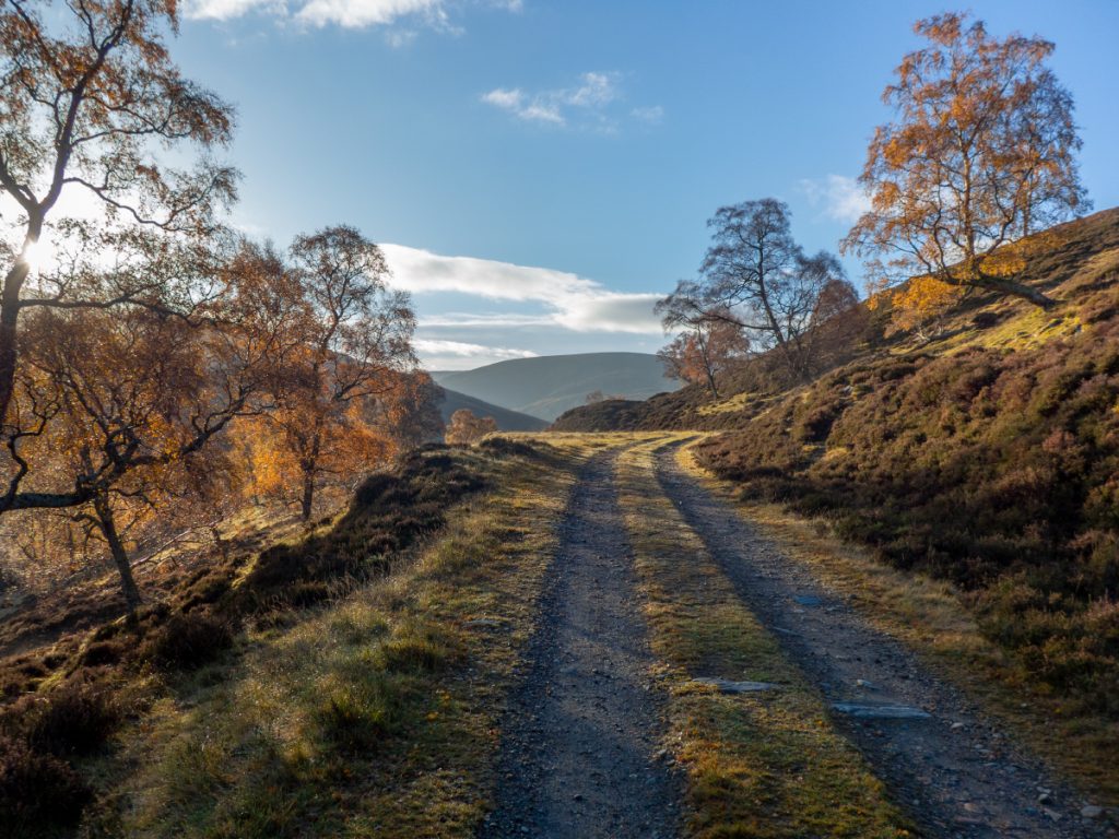
Back in August the club’s multi-day camping trip had intended to route via a couple remote munros I hadn’t done to the south, but had been missed out due to weather, and today seemed like a good opportunity to bike/hike out Glen Ey towards them.
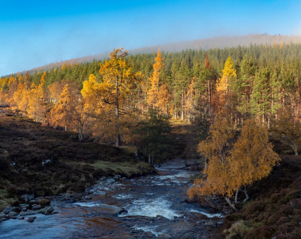
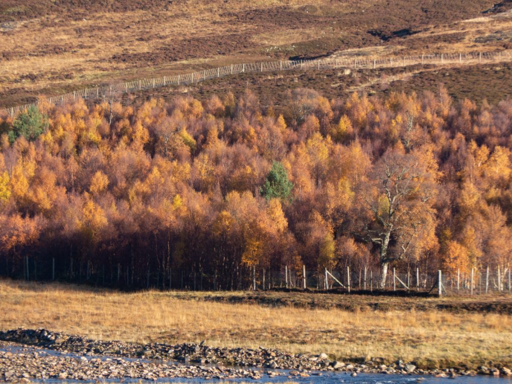
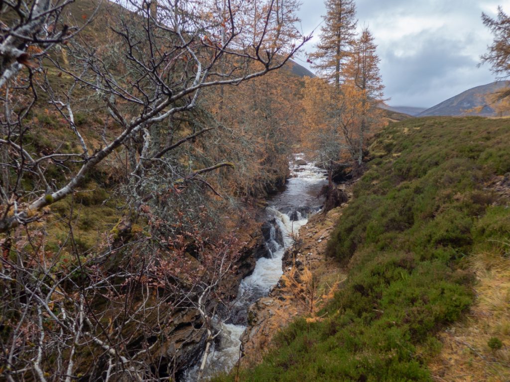
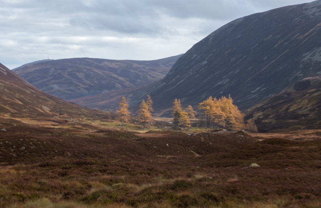
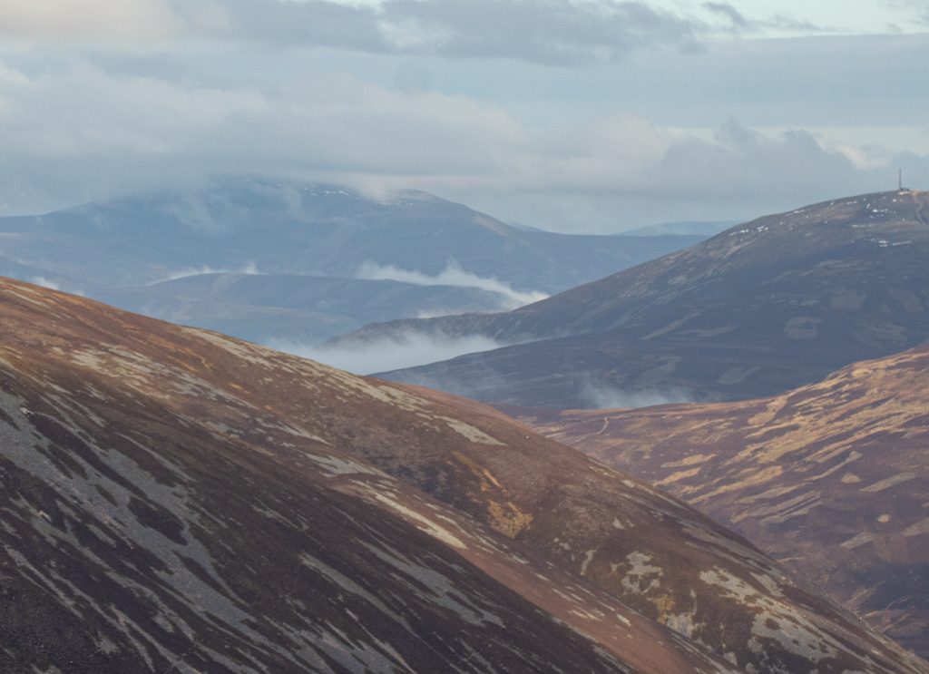
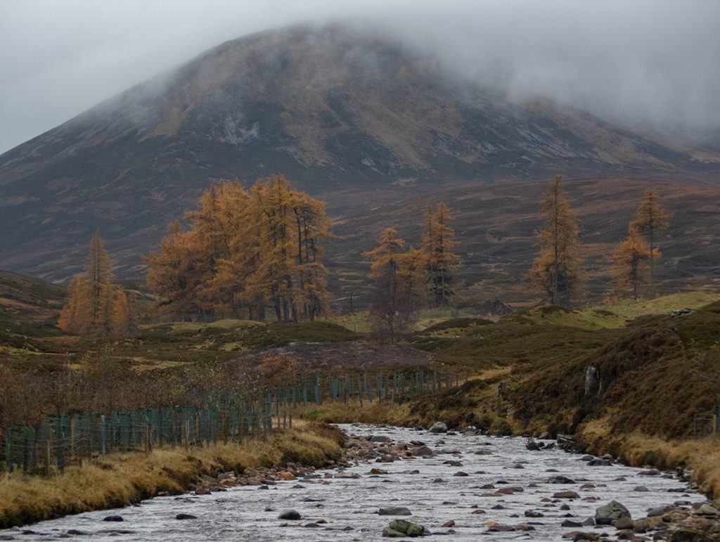
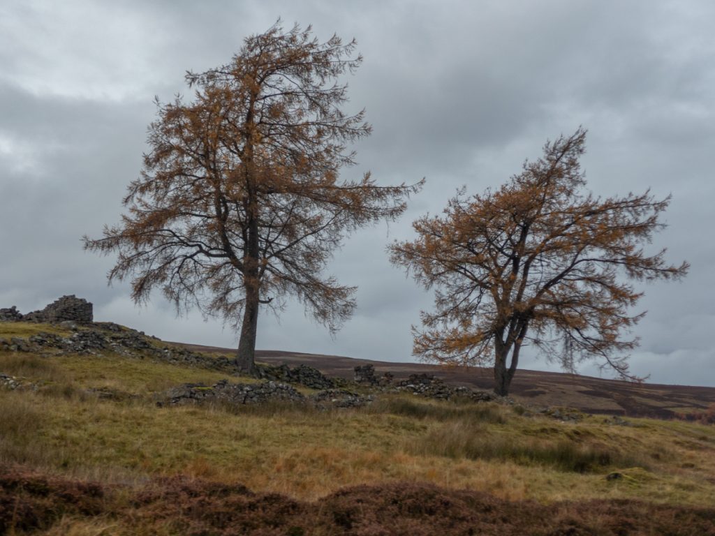
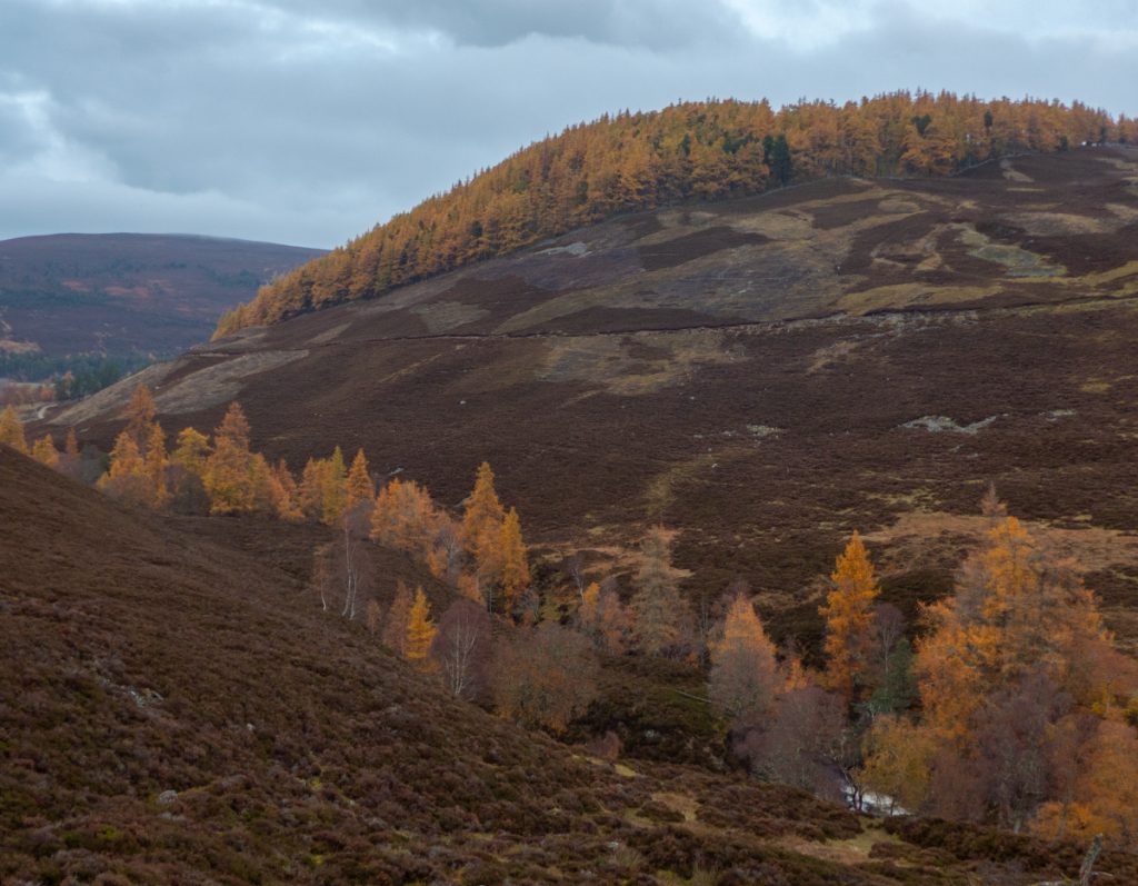
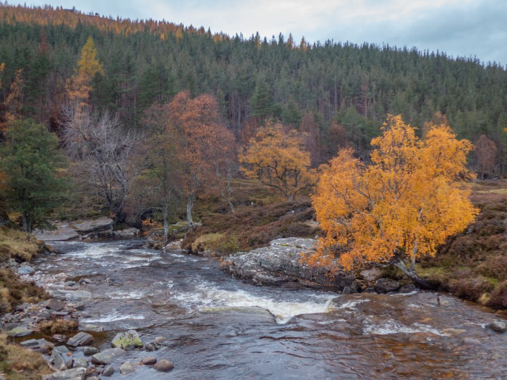
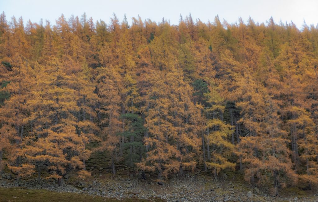
A still and chilly morning had gossamer swathes of cloud hugging the glens, with the low sun piercing through in spots to make the birches, rowans and larch show off their final colours.
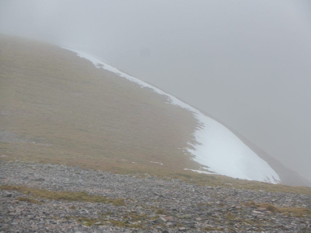
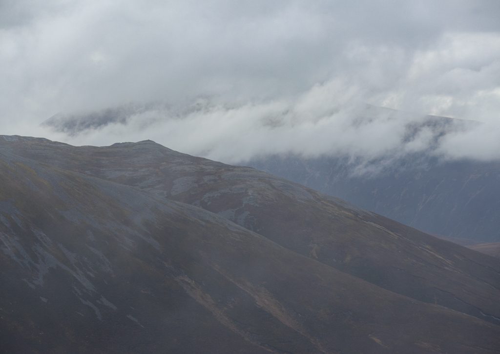
I’d pondered whether there might be snow aloft: no satellite photography was available since dense cloud had covered everything, and not much social media activity during the stormy weather. I took my ‘ultralight’ axe anyway: a Cassin Ghost which at 200g is not a day-long chopping implement, more a ‘have to hand for a couple moments’ tool, but as we headed along the glen and looked back we could see Beinn a Bhuird was mostly bare, so it’d stay in the pack.
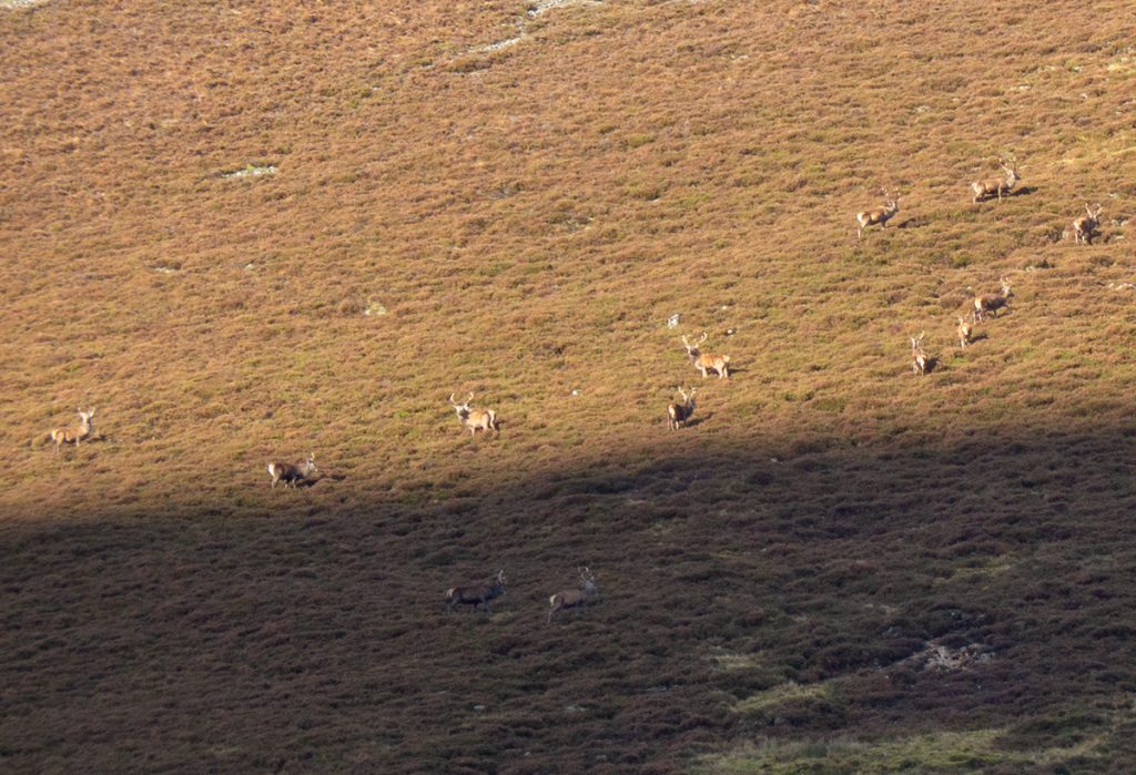
We saw lots of deer in the area; unnoticed until they bellowed or moved and caught the eye. We’d spotted a buzzard and maybe a kestrel near piper wood, around the corner heading south west deeper in the glen, something large flapped ponderously amongst the crags: an eagle.
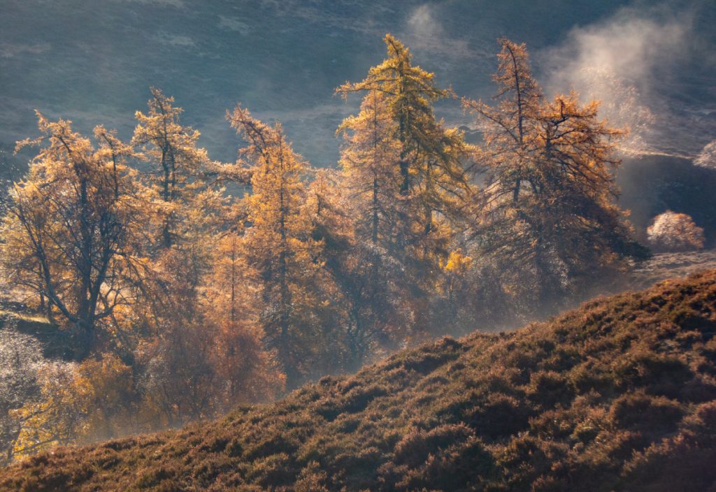
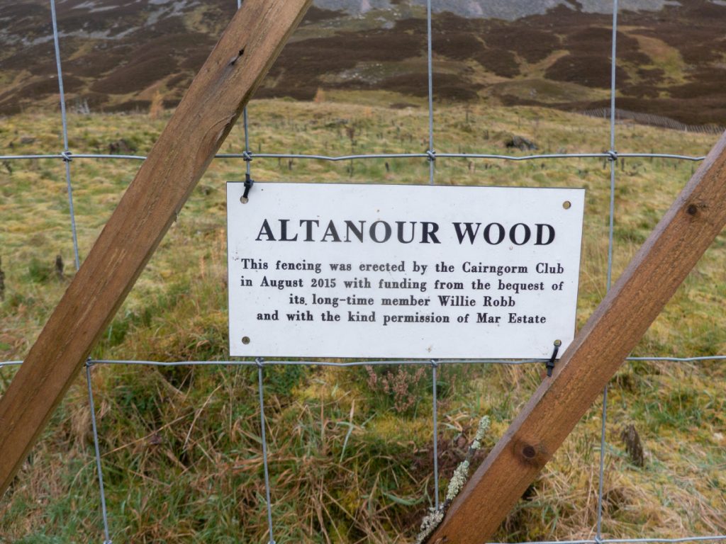
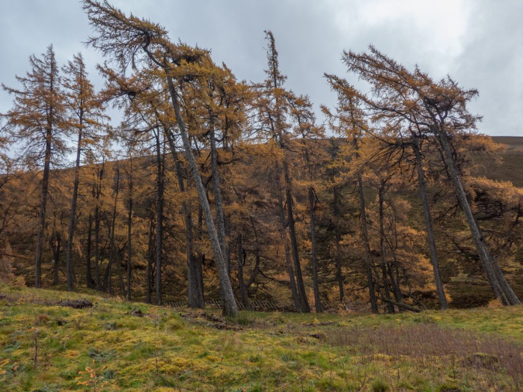
We had a minor repair task to affix the Altanour enclosure signs with zip-ties. The larch contained within are a bright beacon in autumn garb amongst the barren surrounds, the fence is helping a few young trees survive in ground that is otherwise stripped by deer and sheep.
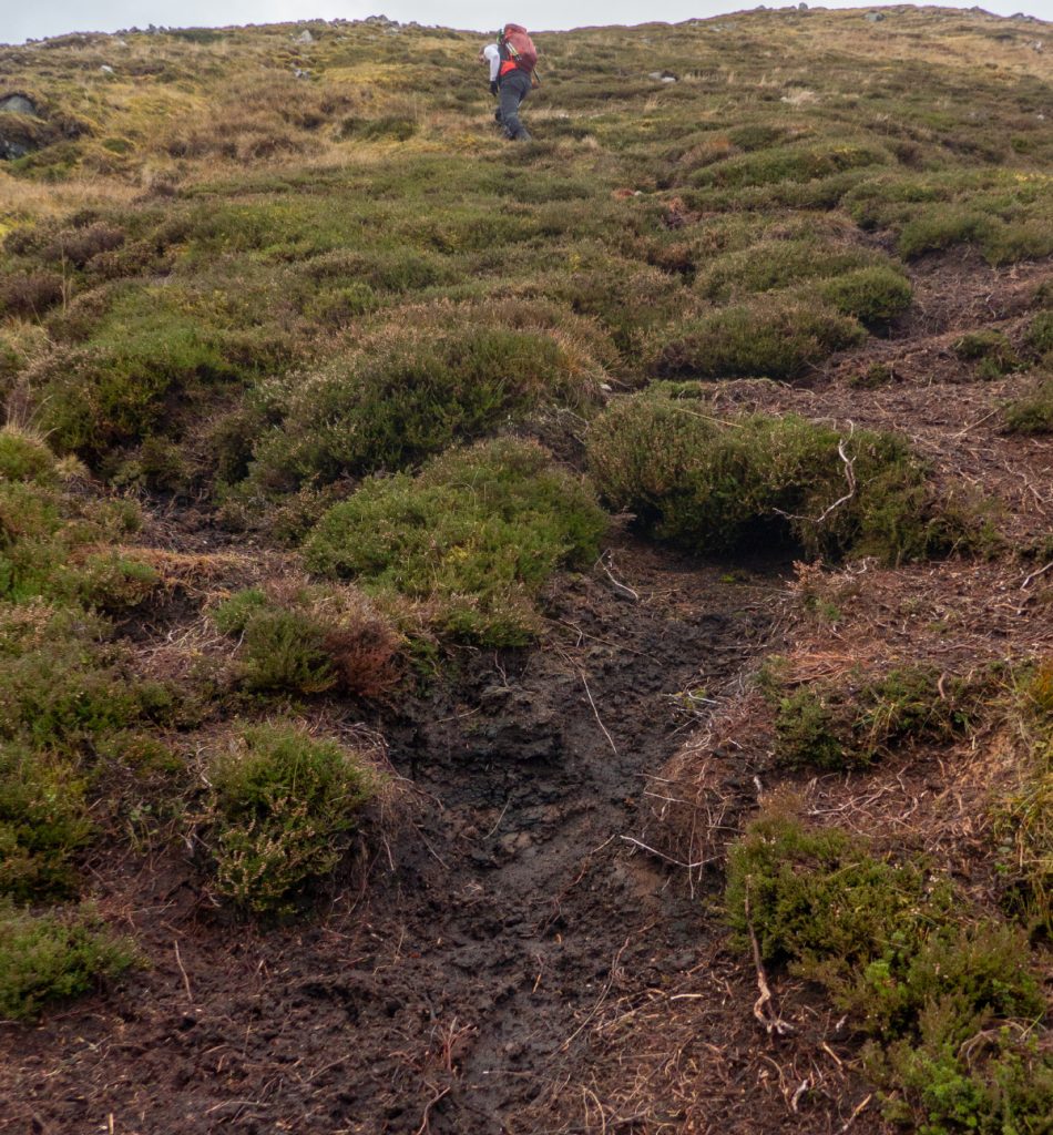
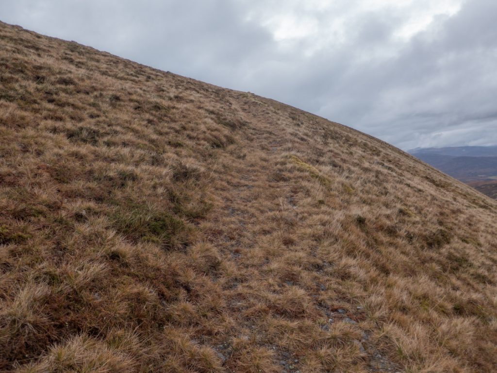
Approaching our target of Beinn Iutharn Mhor, we assessed the ascent: the sides are pretty steep and in places covered in scree, there’s a ridge of sorts and we made for that through tumbling bogs before finding a faint path heading up and not on the map.
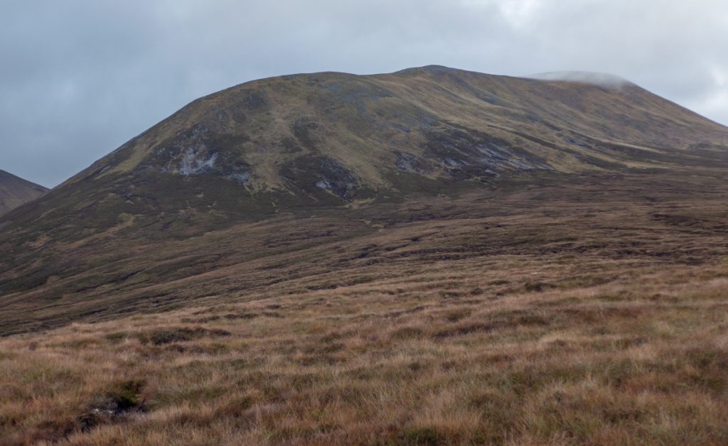
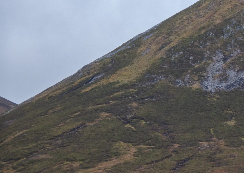
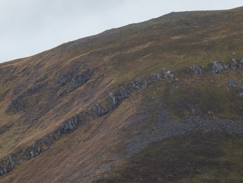
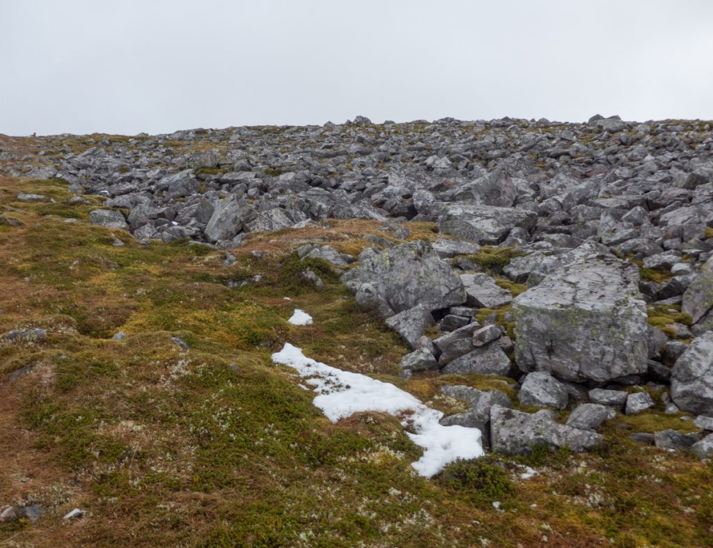
Levelling off the mud and heather was replaced by ptarmigany moss and angular rock fields.
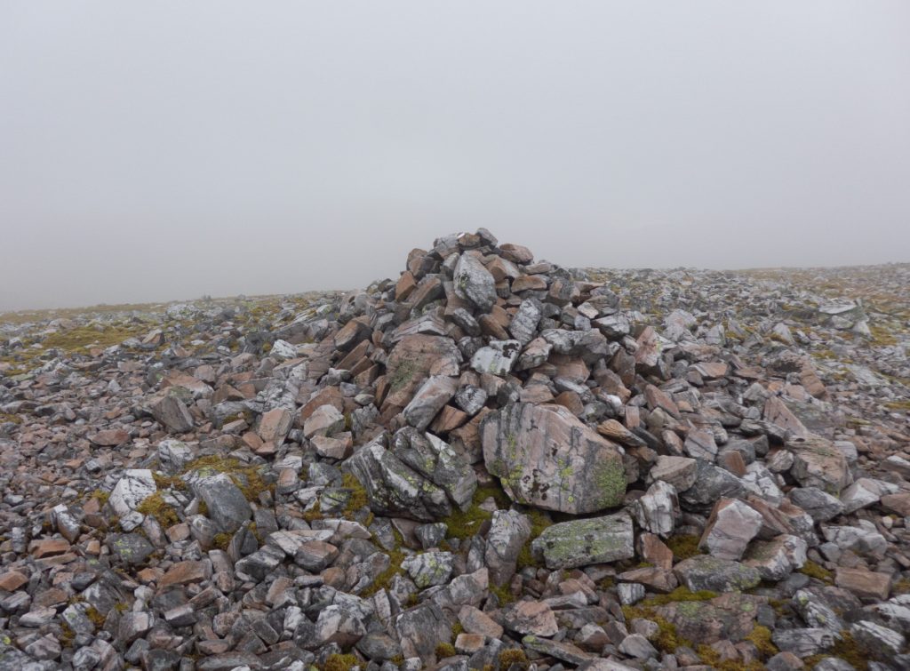
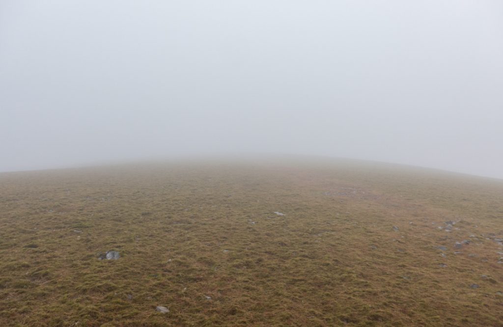
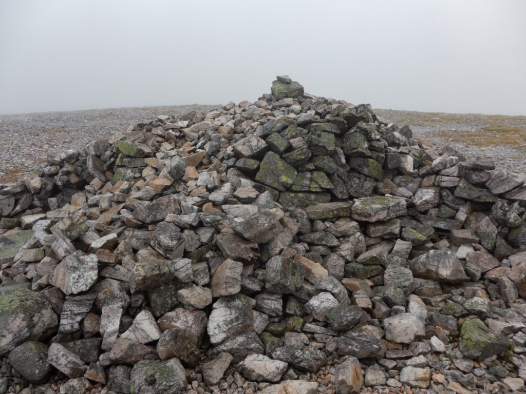
Having not paid enough attention to the map, we followed the ridge and finding in limited visibility the ‘top’ took a group photo before realising planning the next direction that we were 1km and another shallow dip & climb short.
A club worthy had assured us we could contour around the side to a small lochan and ascend straight up, the contours had us extremely sceptical, and a brief glimpse over into the plummet into grey had us unconvinced.
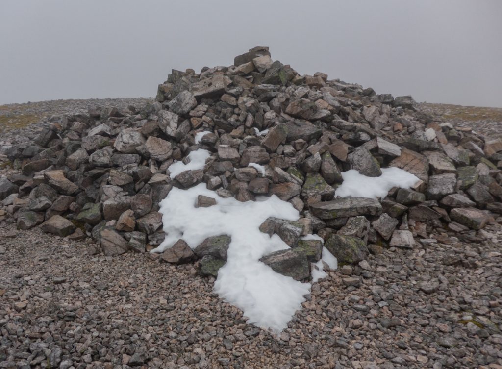
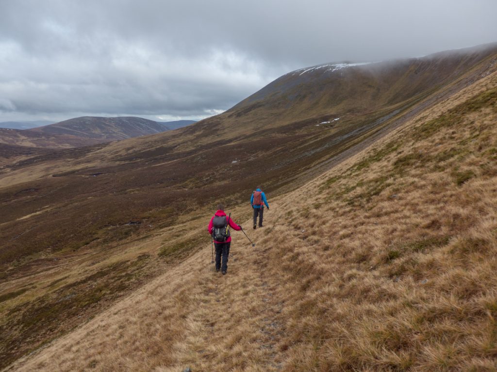
Reaching the real top at 1045m, the wind chill was spicy so we didn’t stick around in the clag. We’d made good time so continued west and would head down and around to the small lochan.
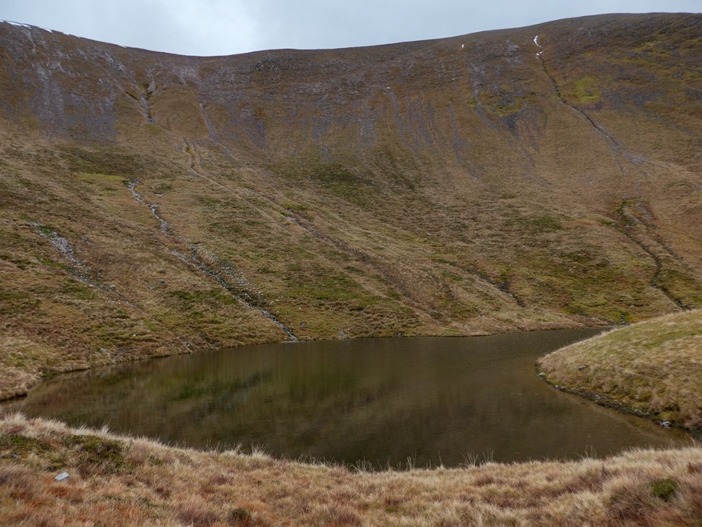
A steep ascent on grassy ground was assisted by another OS unmapped (but present on Harvey’s) old stalker’s path cut diagonally into the hillside. It fizzled out and we hacked around the tussocked contour to find the lochan where we sat in it’s still shelter for lunch, a cracking wee spot.
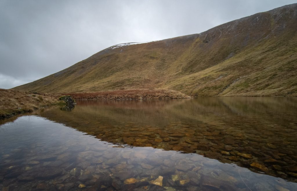
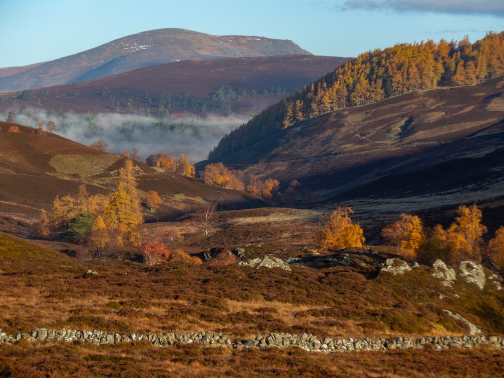
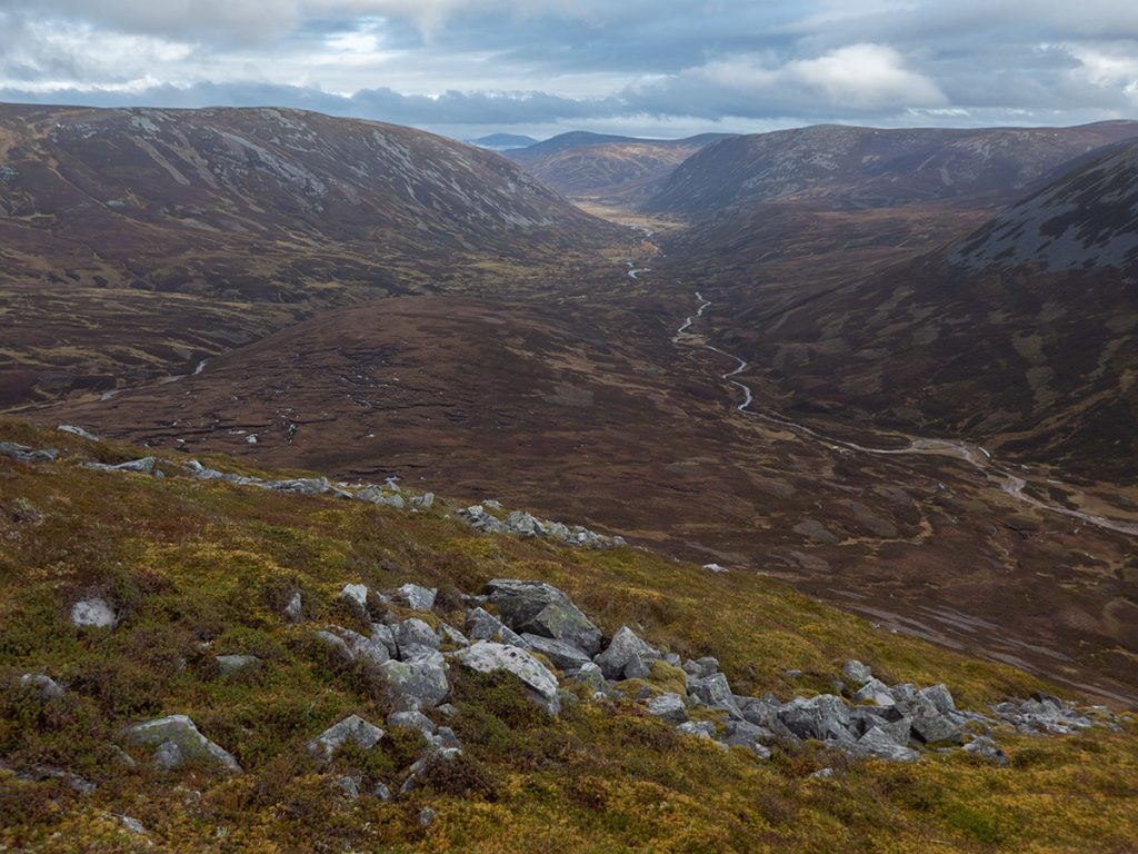
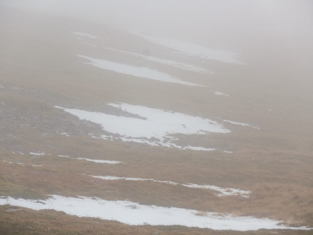
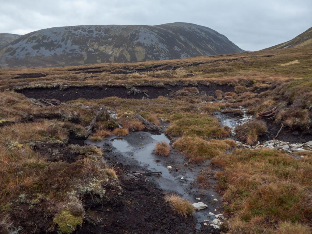
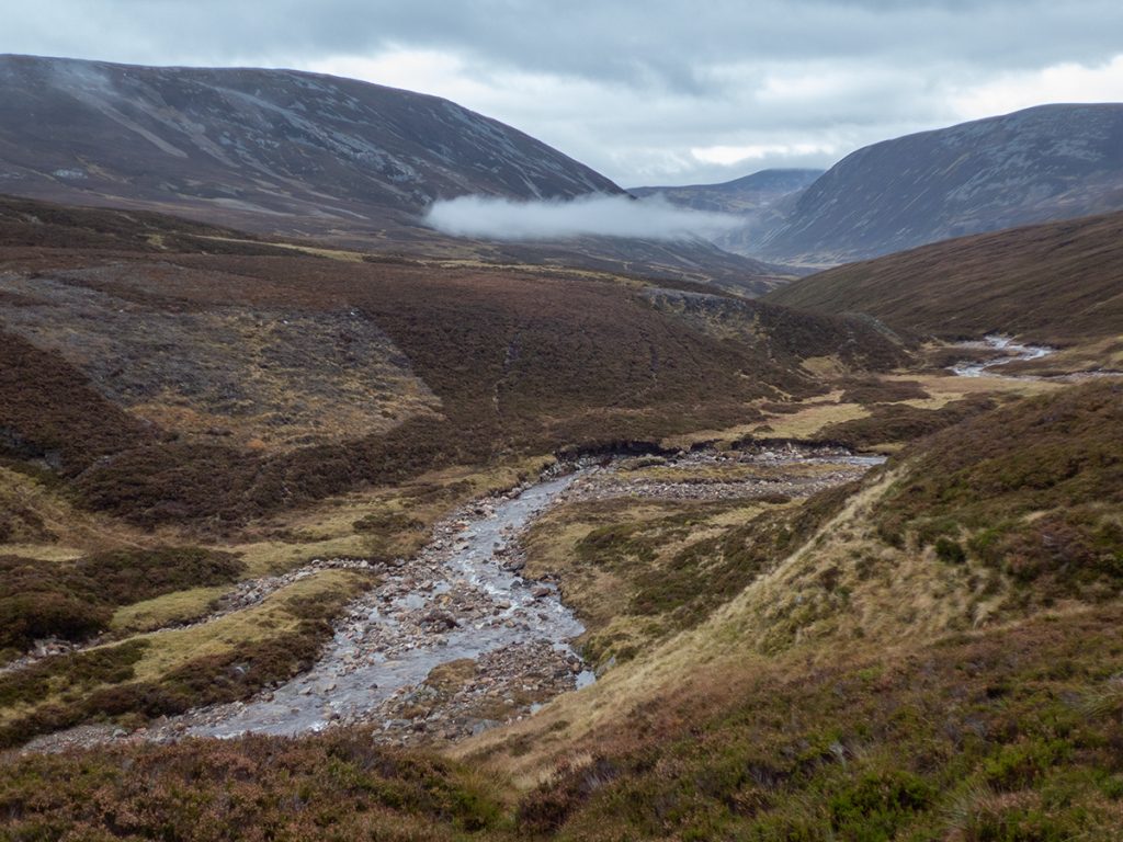
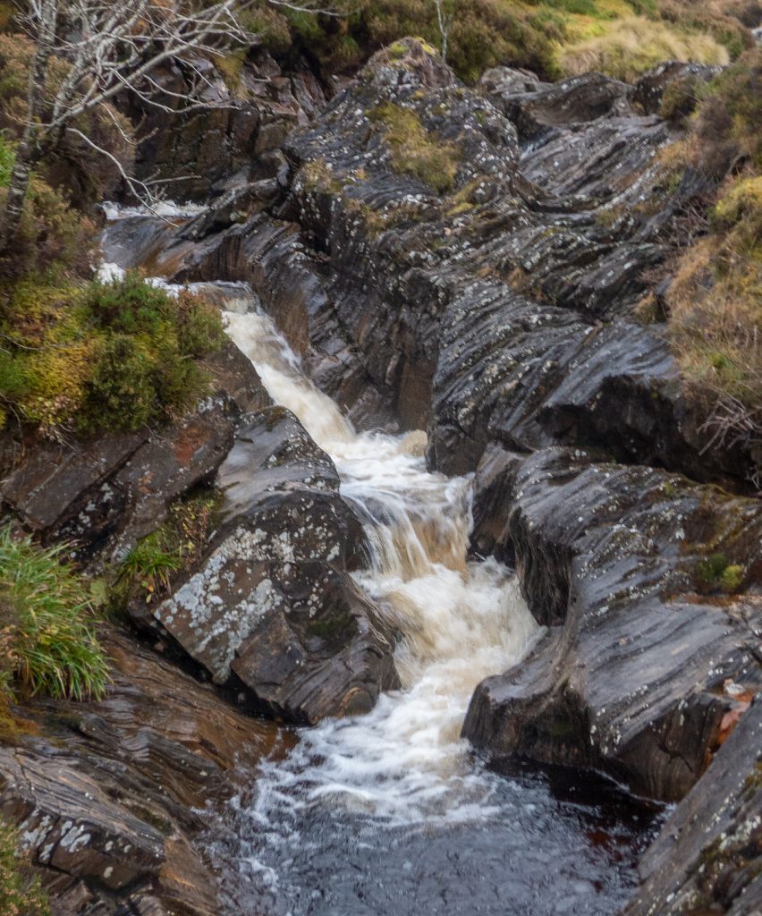
Looking back up, there’s maybe a reasonable climb up to the east of the lochan where it’s slightly less steep. We headed homeward bound, following a contour to stay high above the bog below; eventually tempted down by a faint landrover track which having lured us in dumped us into hags, so we made towards the Allt nan Clach Geala, burn of the white stones, and would follow it back until we found our outward trail
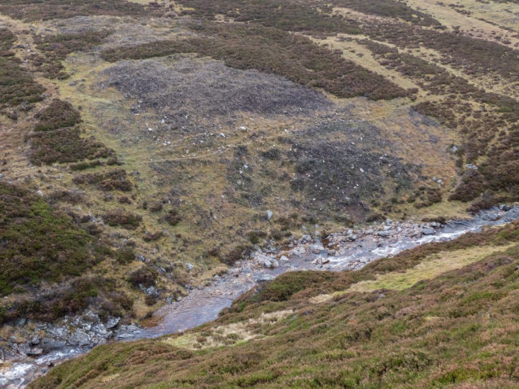
I’ve commented previously on how the Deeside Trust is disingenuous with regards to their riparian conservation aims: a good example of what the riverbank endures for endless miles away from public gaze: scorched with zero regards to muirburn guidance or biodiversity.
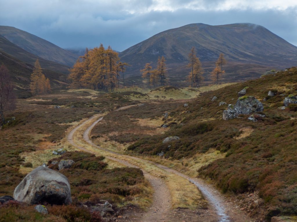
We’d had a good doze of sunshine earlier but the gloom wasn’t quite finished with us yet and an hour before sundown it was pretty dark as low clouds drifted in and cloaked the uplands. Even in the muted light autumn would not be denied it’s glory as we retrieved our bikes and whizzed down Glen Ey
Back at Muir cottage for tea and biscuits, it was a bustling throng as mostly everyone had returned from the hills, the communal evening meal was prepped and tales exchanged of the day’s activities.