The NEMT had instigated a daytrip to the RSPB Abernethy to get a guided tour from the manager there, and on a cracking sunny day we headed over. I decided with a few others we’d use the opportunity to do an overnight traverse back to Braemar afterwards.
The hospitality was great and we learned a lot about the conservation work being carried out there, what’s worked and what hasn’t, the challenges they face
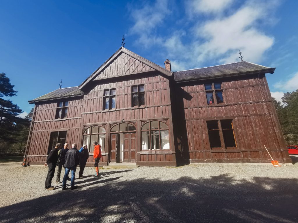
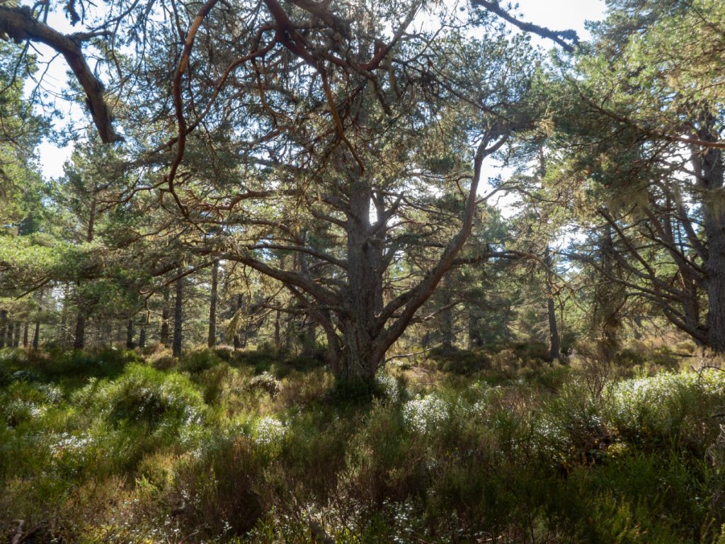
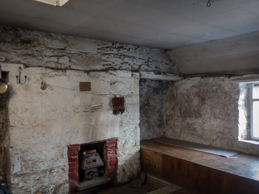
Forest Lodge has an interesting history – it was used in WW2 for secret training of Norwegian commandos.
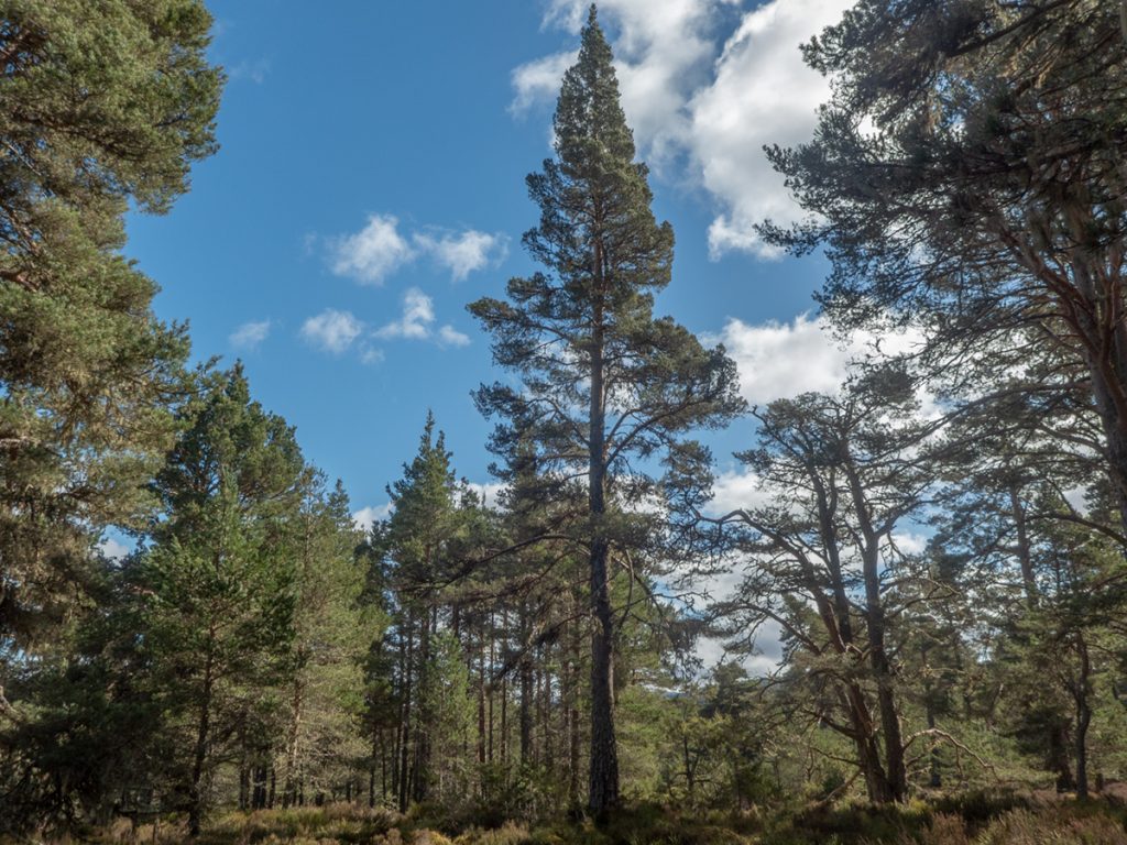
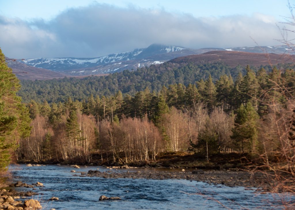
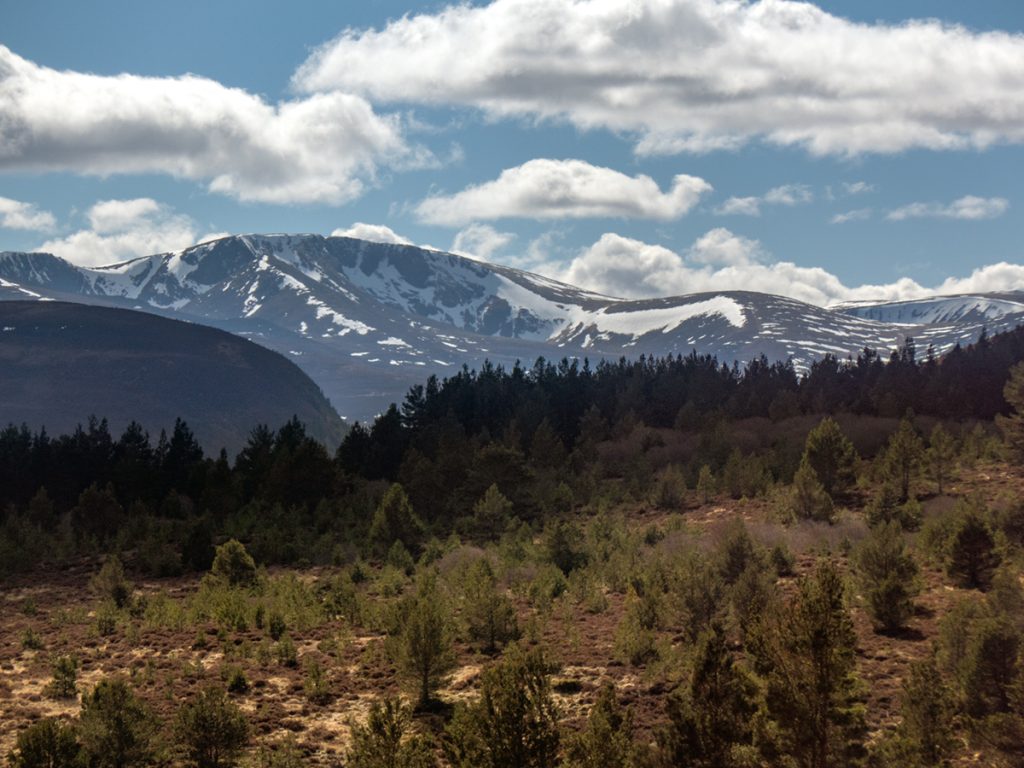
After a pleasant lunch overlooking the northern Cairngorms, we returned to the lodge and strode out again but this time loaded with our overnight rucksacks.
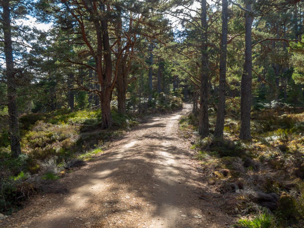
We stopped briefly at Ryvoan for a nosey, it’s a popular spot being a short hike from ‘civilisation’ at Glenmore. We headed on towards Bynack More with a bit more of a chilly breeze now clear of cover.
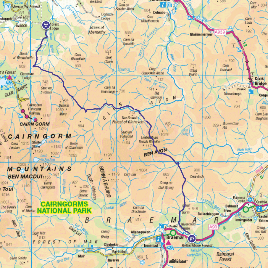
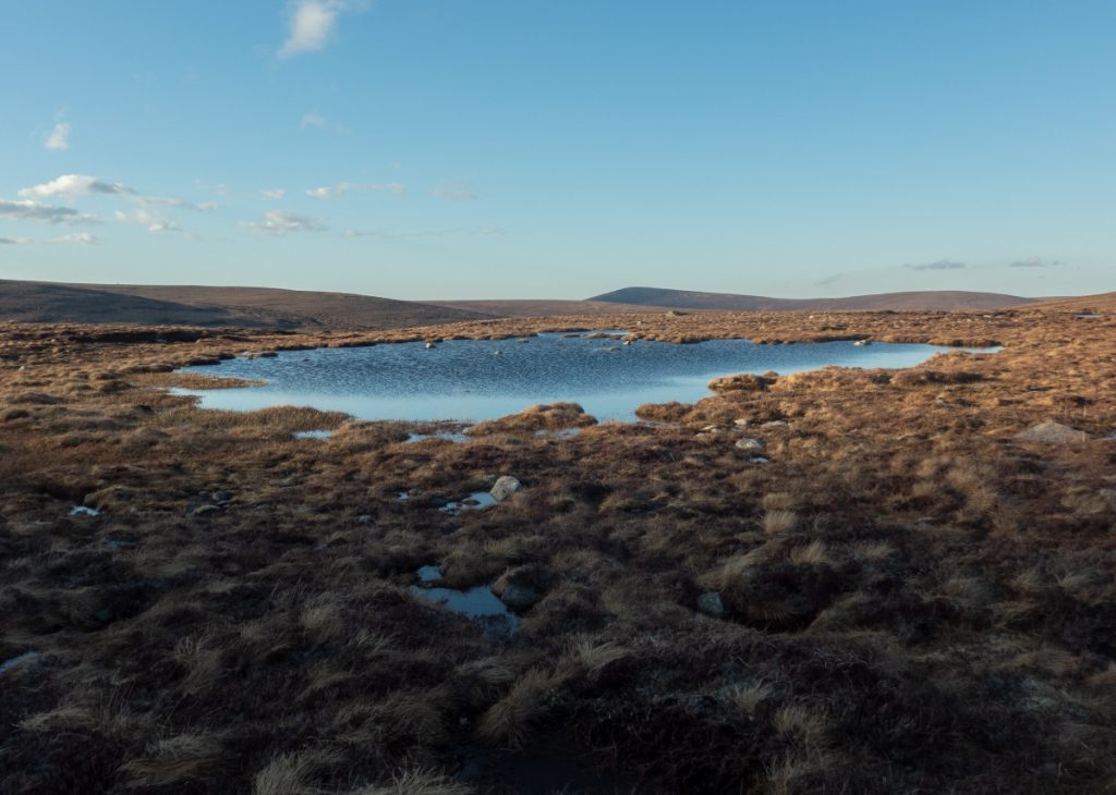
Our plan was to make for the remote Faindouran bothy, and with limited daylight after the RSPB tour, we had to forego detouring: a shame to pass the Green Lochan without a look, and also to not go over Bynack More or see the barns.
At the foot of Bynack More, looking back to Abernethy forest and still in line-of-sight of telephone masts, we checked the latest weather forecast before heading further into the wilds. Tomorrow’s forecast had worsened and would inform our plans for the next day.
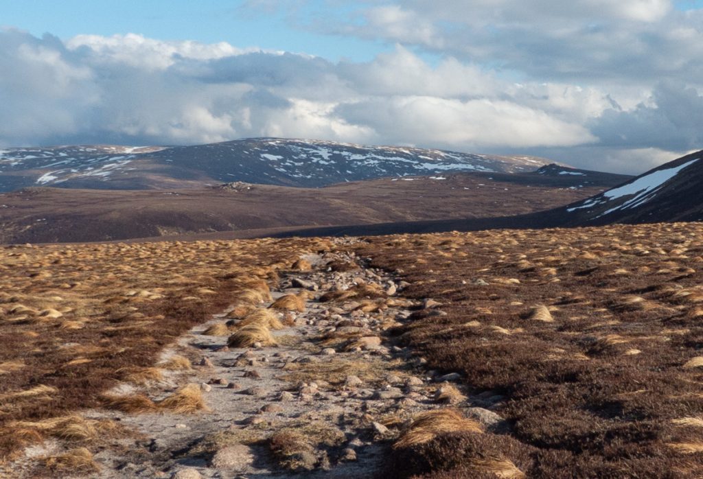
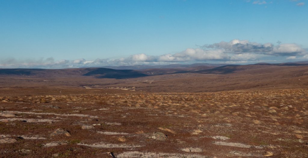
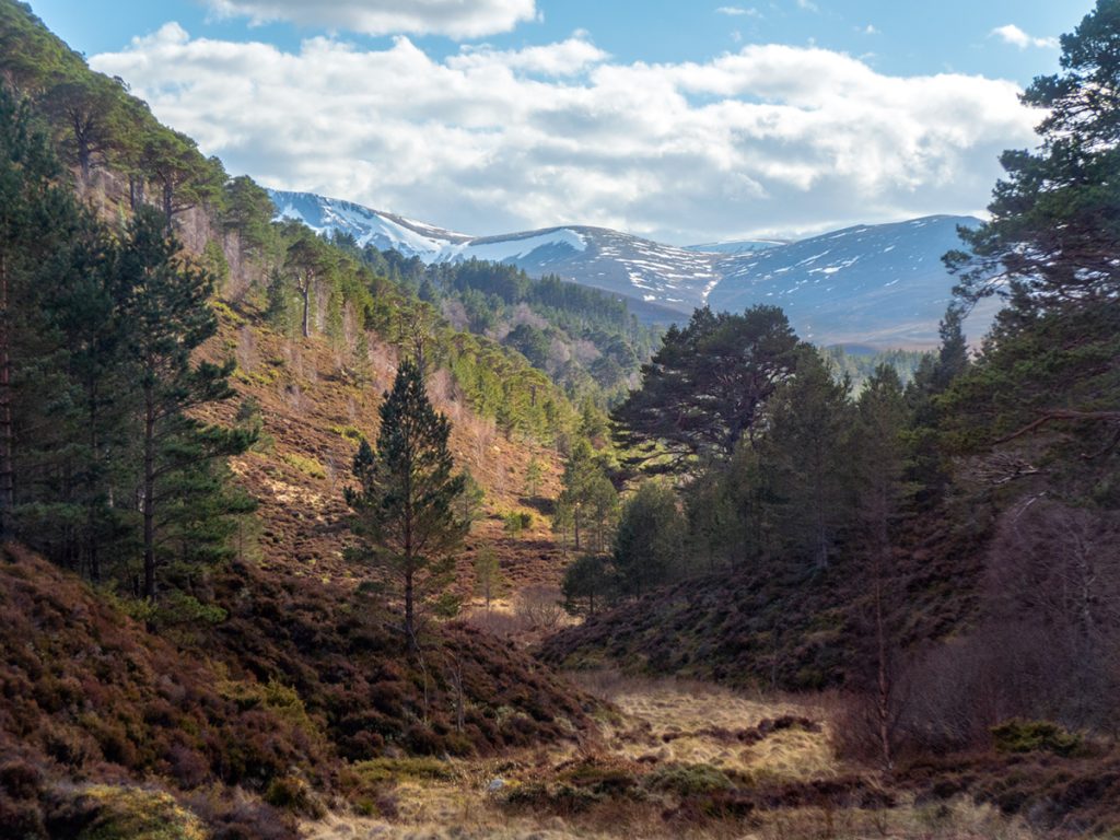
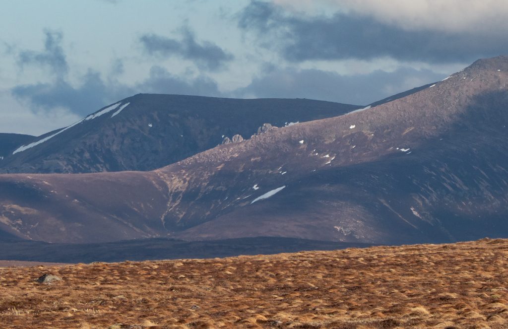
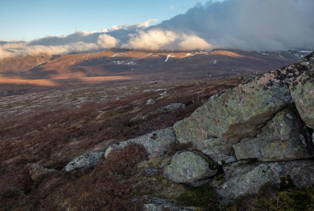
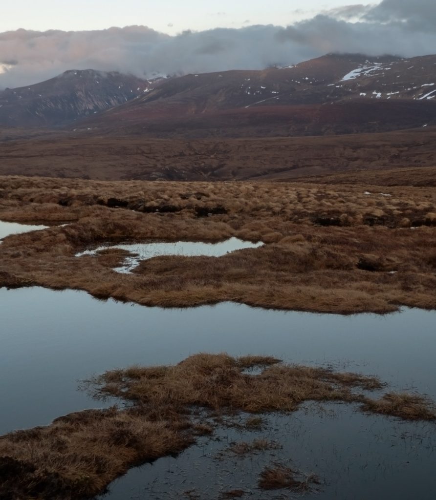
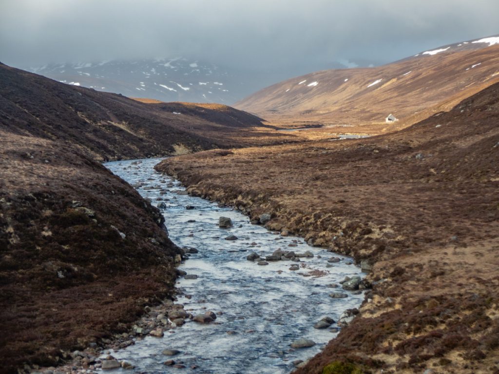
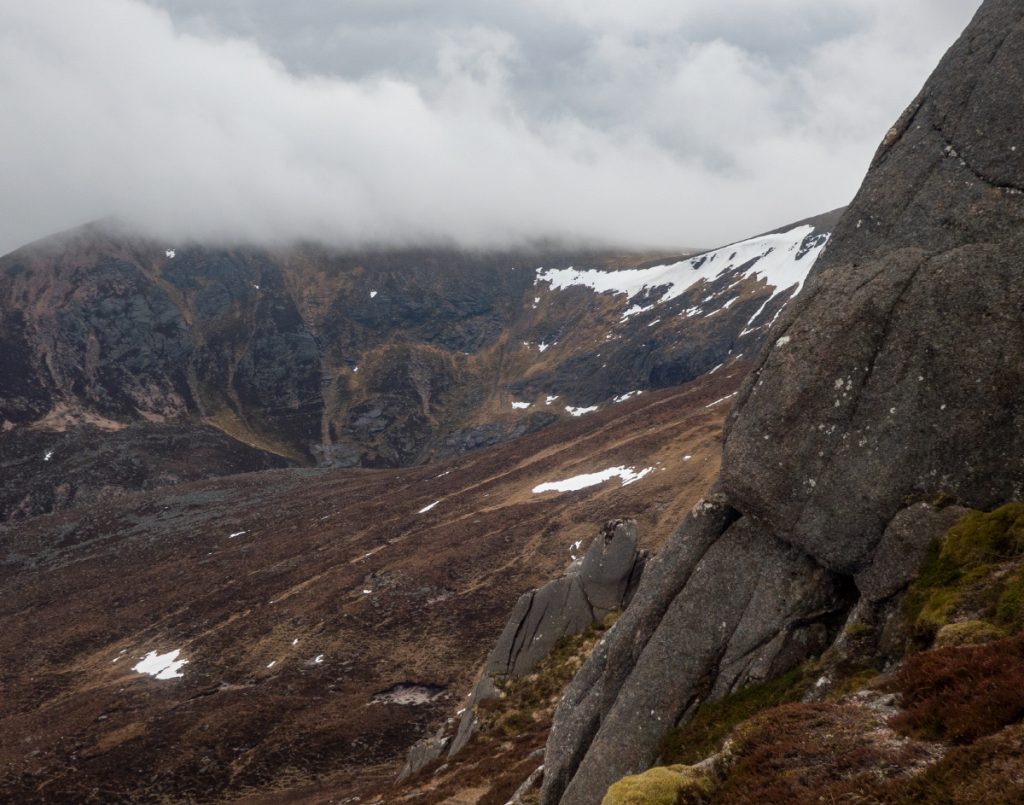
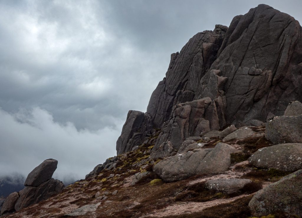
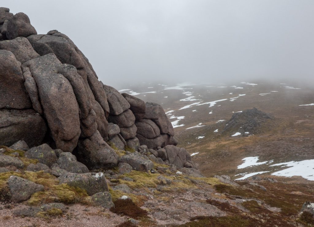
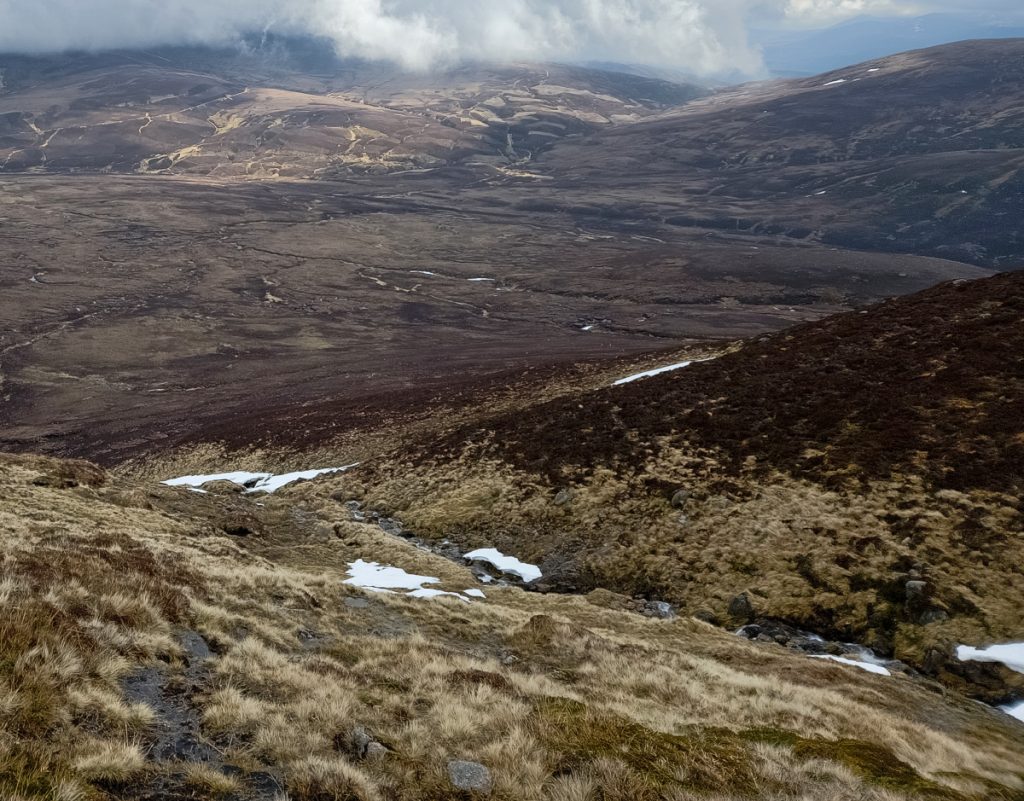
Rather than stay on trails all the way to Faindouran, we decided to ‘short-cut’ the corner to Fords of Avon, and head directly. There’s boggy flats initially, and we found our eyes drawn to the light playing over the northern slopes of Ben a Bhuird and Ben Avon picking out ridges, tors and gullies: tomorrow we’d need to choose a way through these slopes to Deeside.
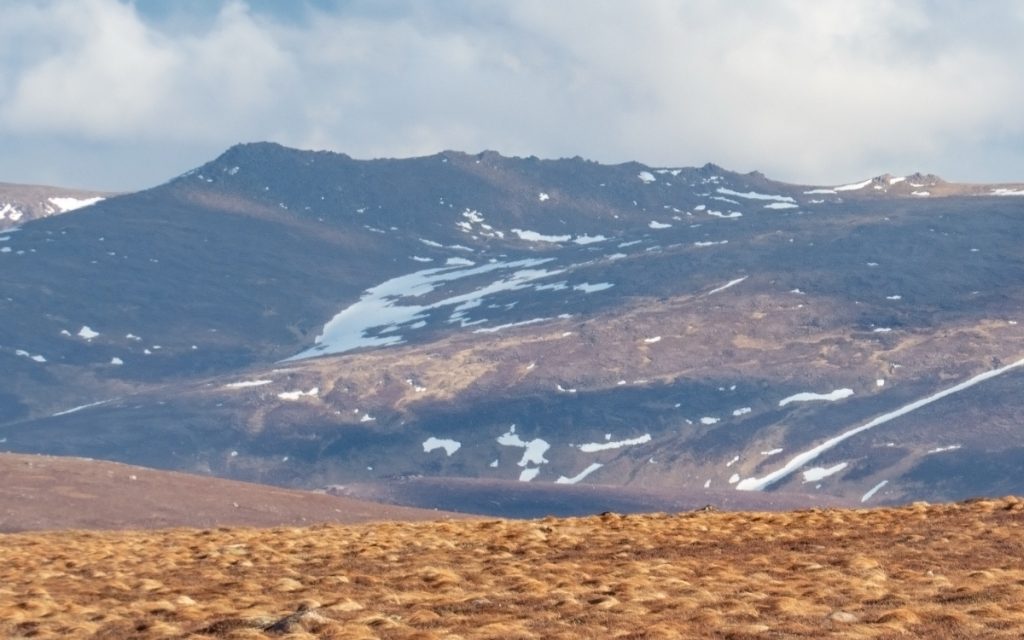
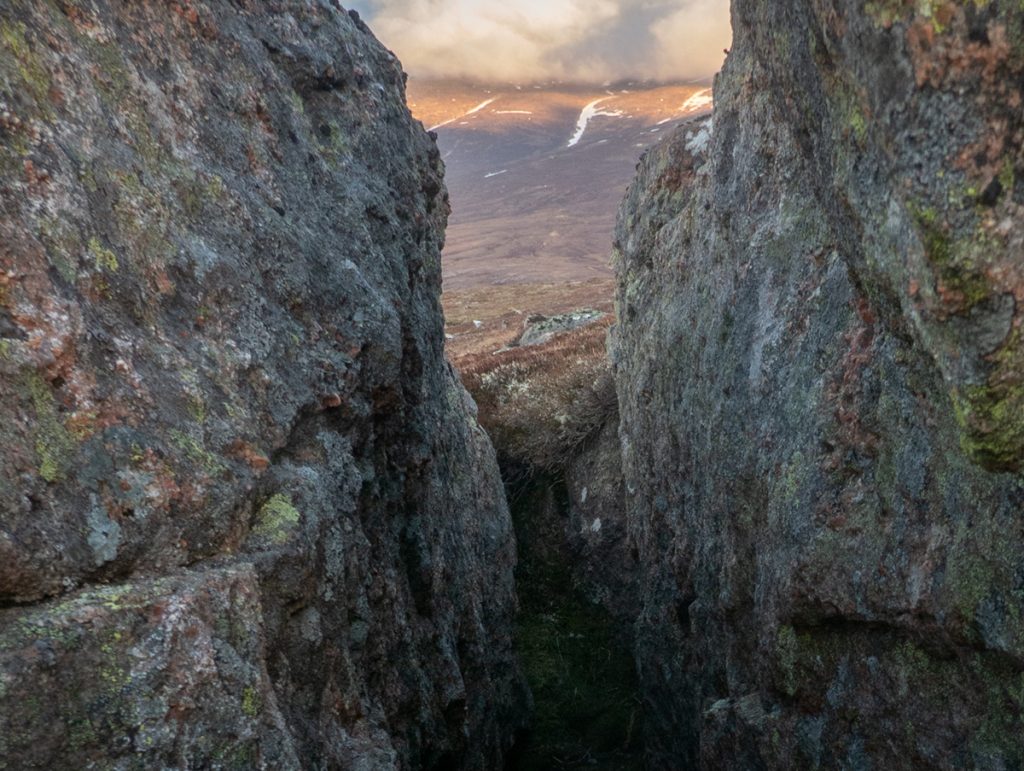
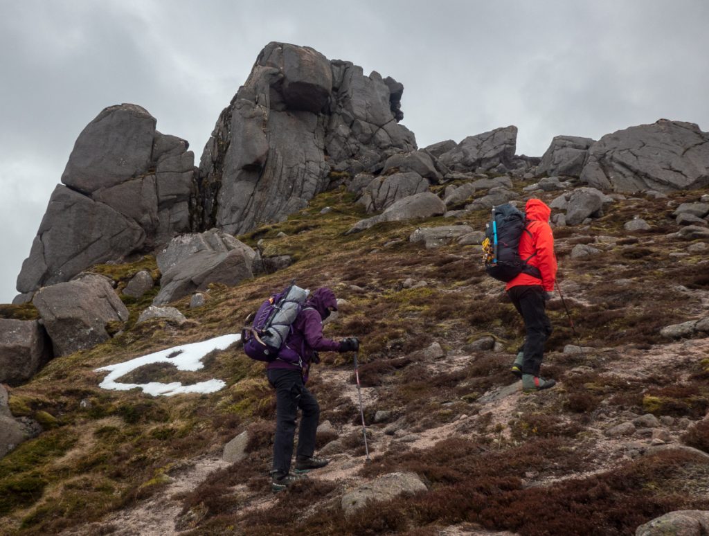
One moment picked out some ragged tors protruding from a ridge and piqued our interest in particular. None of us had done much exploration on these more rarely ascended aspects of these mountains, there were all manner of corries, tors, crags and lochans beyond that the regular routes allow sight of.
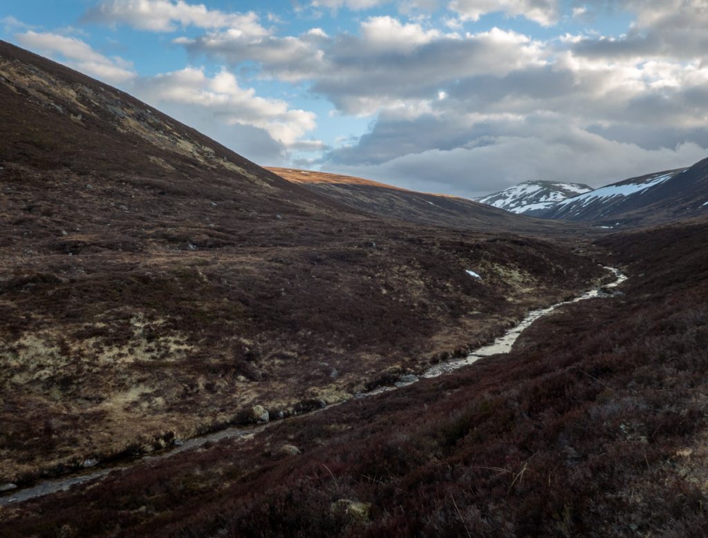
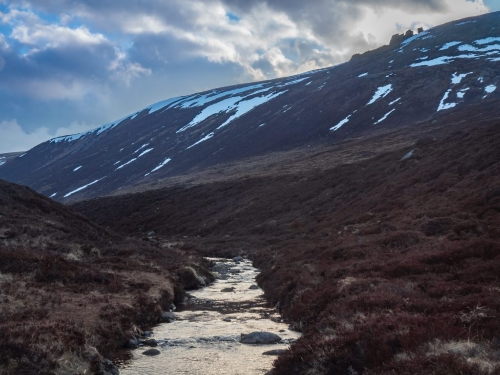
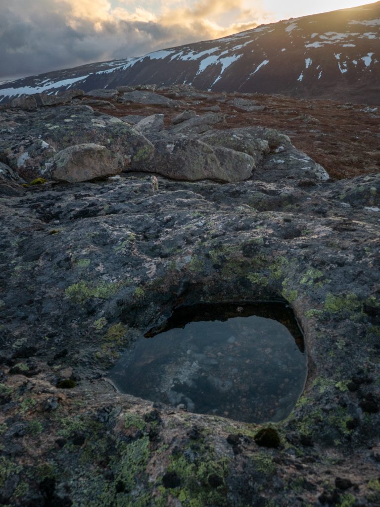
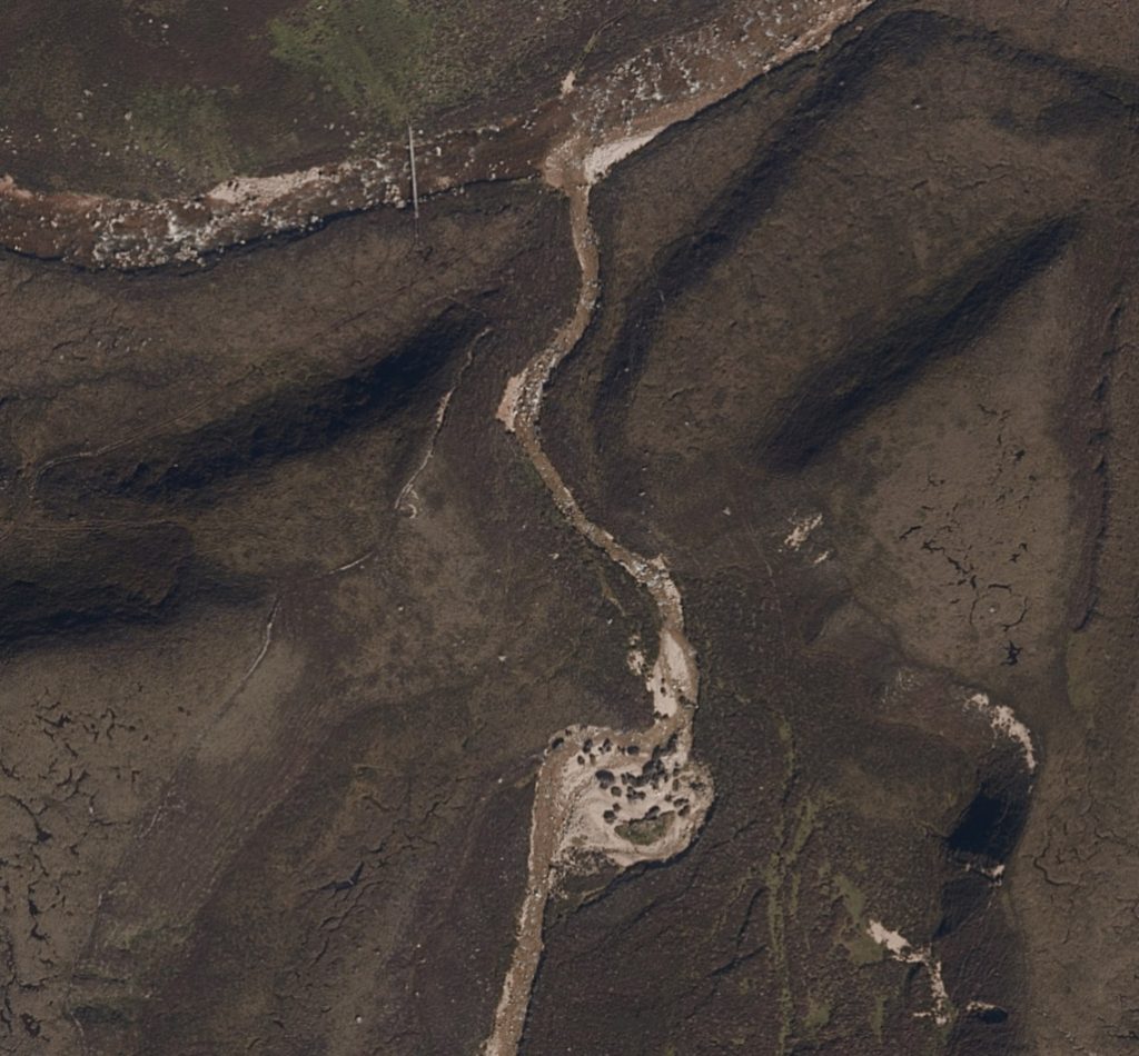
The stream Glasath was hidden in a small glen and duly crossed near Coire Riabhach a Chuil (possibly referring to the ‘streaked rear’ – there’s some rocky slabs on the slope).
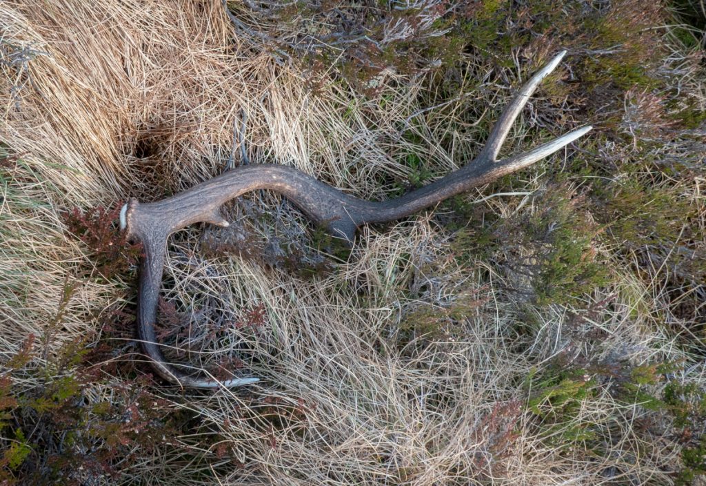
There were some small rocky tors above that drew us towards them as an ascent target, but not the only spiky protuberance: an antler was spotted poking above the heather.
Although we’d been set on a no-faffing crossing to Faindouran, we still had good light for a bit and duly circled the rocky outcrop at the north top of Dagrum, looking for nooks and howfflets
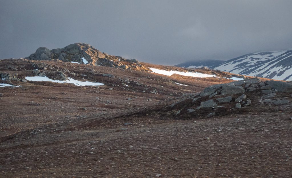
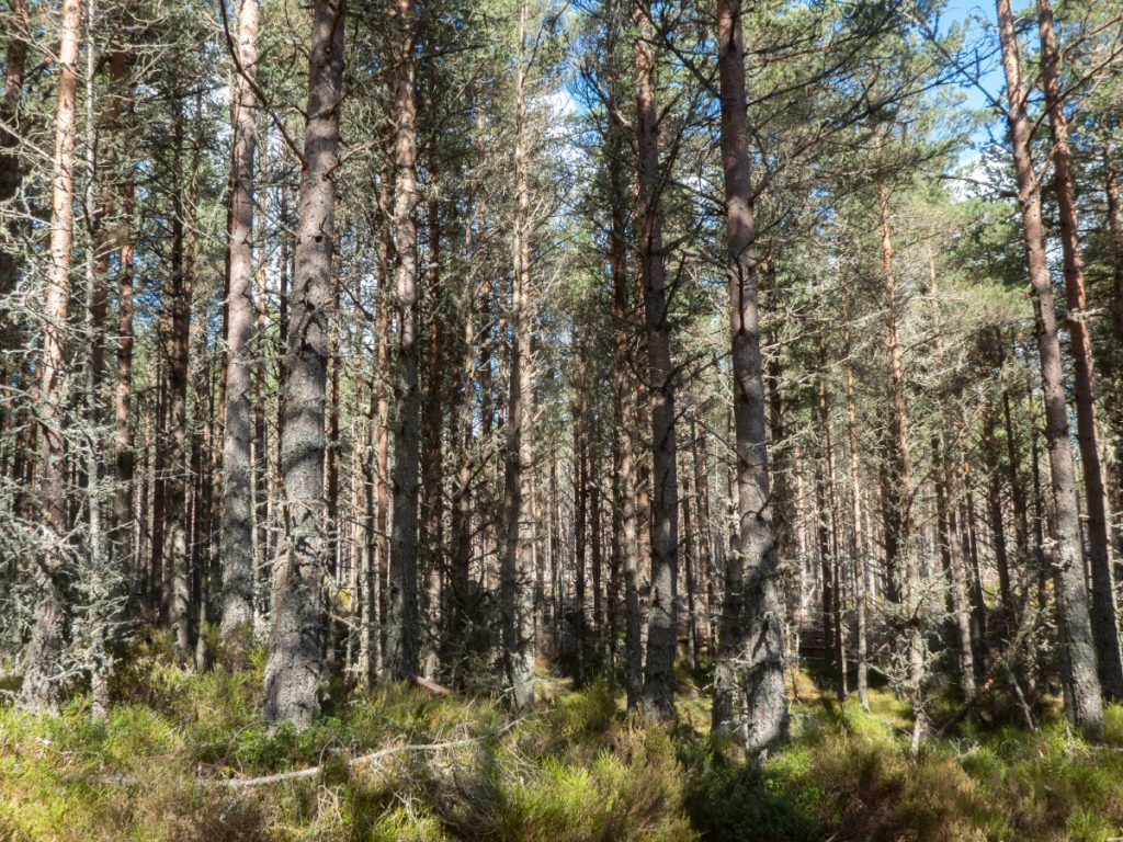
The more substantial tors of Creag Mhor had escaped exploration the year before when we’d camped at Loch Dagrum, and would again this evening as they’d have had us descending rough ground in the dark. We headed onwards to Caochan Craobh a Chuimeneich – for this entire area trees (craobh) are but a memory (chuimeneich) due to the excess of deer.
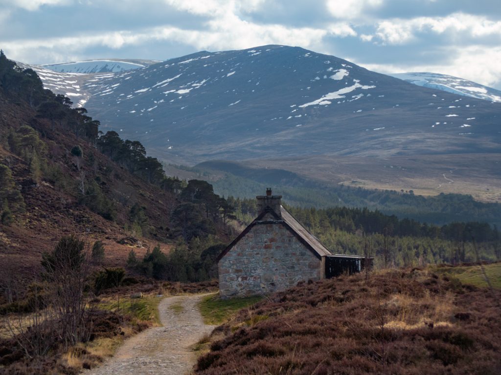
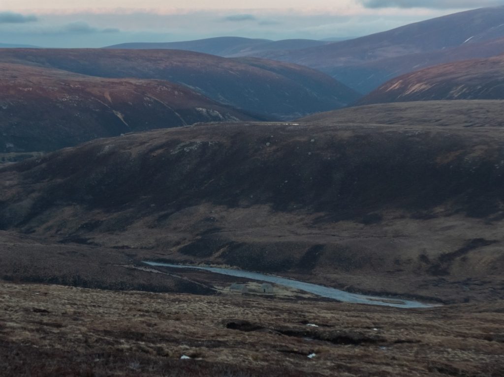
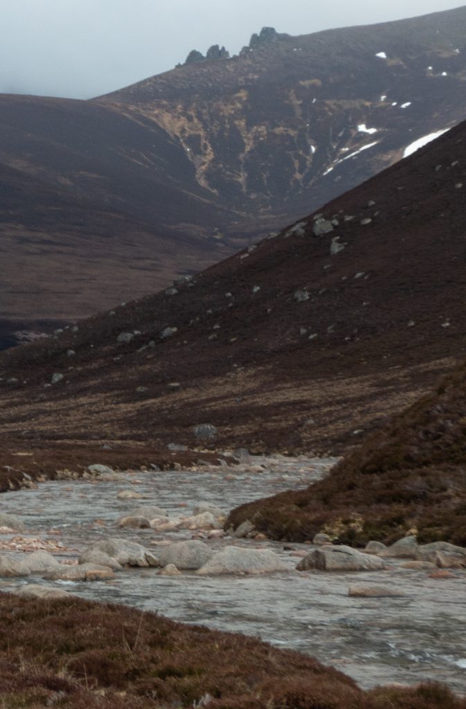
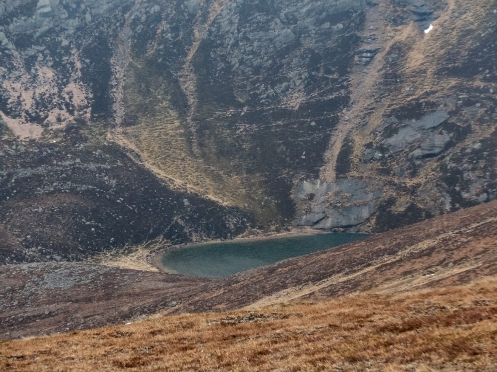
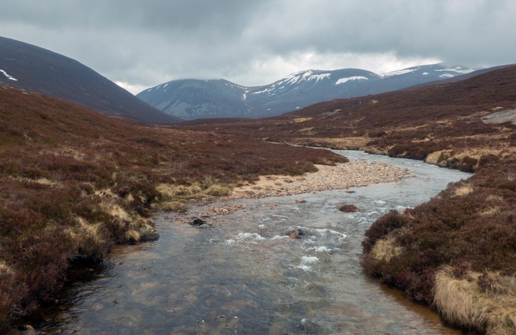
As the light began to fade we got view down to the Avon and could make out Faindouran and it’s nominative parent, the cleft of Feith an Dobhrain. One doubts if there are any Dobhrain (otters) along the Avon nowadays, as it flows through some very intensively ‘gamekeepered’ lands.
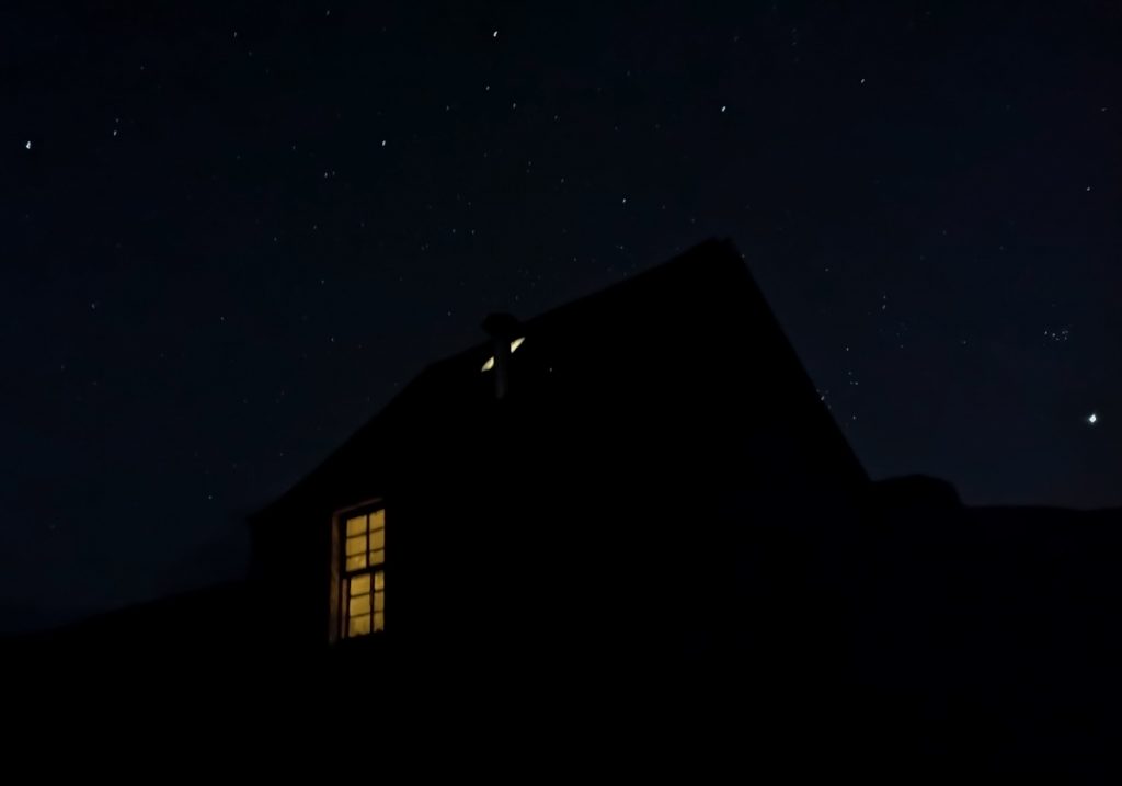
We arrived just in time with the last of daylight inside the bothy, and found it unoccupied – the only choice needing to be made was which bunk allowed for the most isolation from our snoring party member.
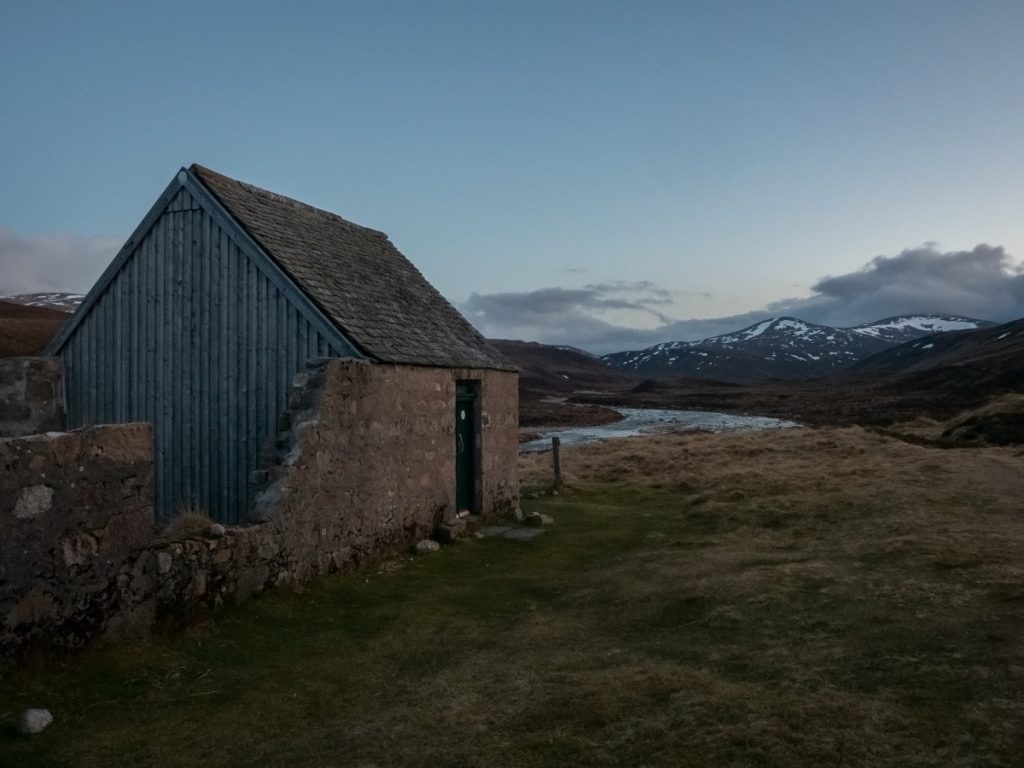

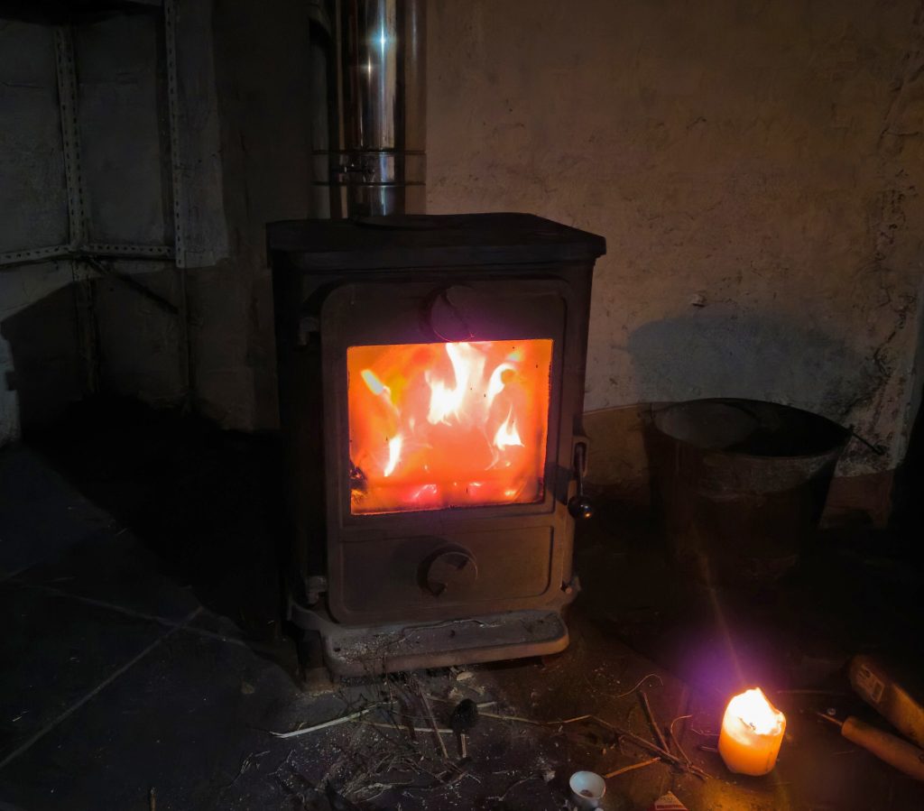
With a clear sky the temperature dropped quickly. There was some left over coal, but it was a bit damp and thee was only a tuft of kindling. A foraging party was assembled and gathered dead grass as firestarter, and chunkier dead heather stalks as kindling, and with a bit of a struggle the coal was ignited.
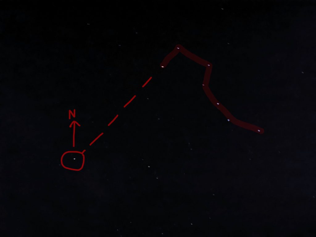
With a clear sky I gave an impromptu star-navigation demo – using ‘the plough’ to locate Polaris (north). I retired upstairs to the loft: the heat hadn’t risen though – although the bothy is in good nick, it’s not as sophisticated as some in that it’s a bit drafty up there, and there’s no insulation. Nonetheless I was ok in the 4-season bag.
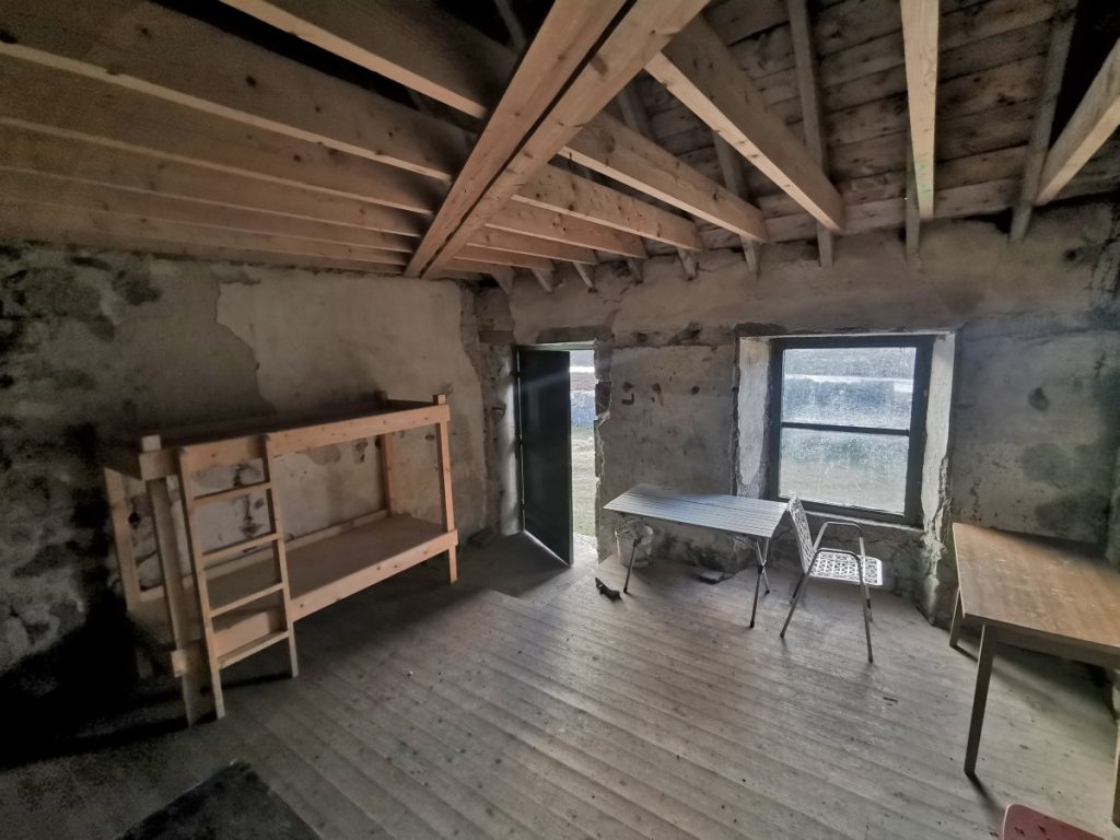
In the morning we had a look inside the ‘ballroom’ (another building on the opposite side of the track) and from what I recall from my last visit here, it’s been done up since then – I don’t recall the bunks and platform in there.
With the forecast for the day a bit more iffy, low visibility, possibly some sleet and chilly winds strengthening, we’d reassessed routes: I’d considered a second night to lengthen the trip, the others wanted to climb Garbh Choire to Beinn a Bhuird, we mutually decided to take a fairly direct route over Ben Avon and power through to Keiloch finishing by the evening.
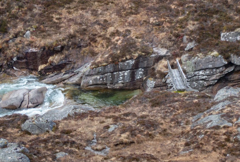
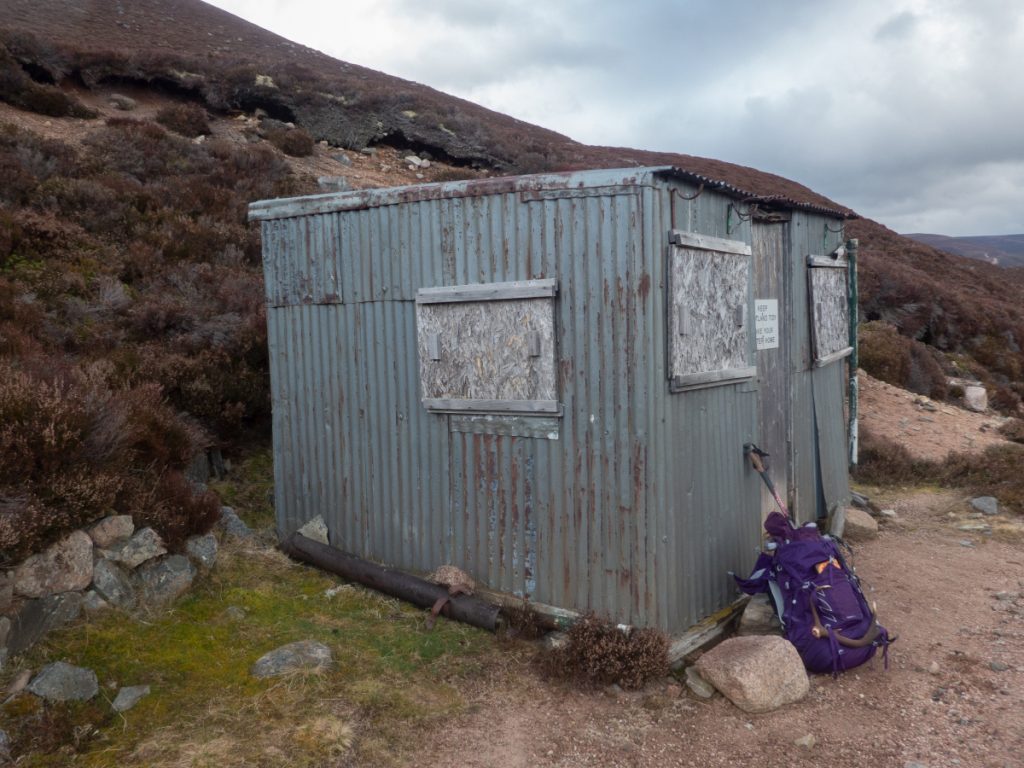
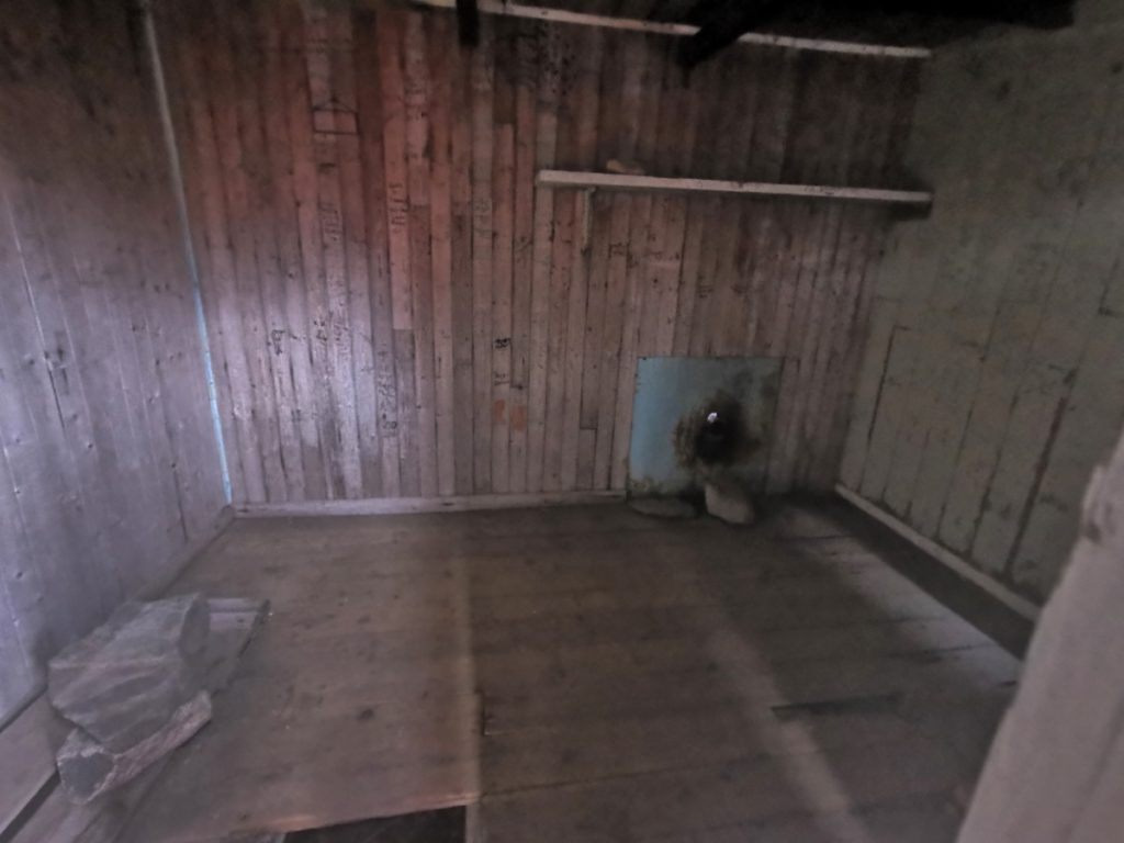
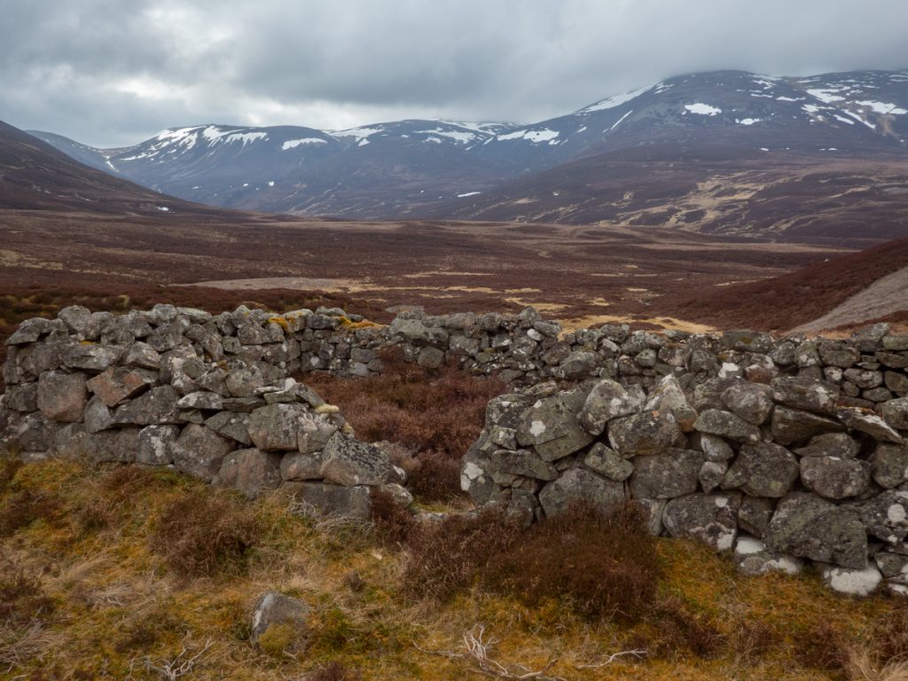
Yesterday it had been mentioned to push on to the rickety ponymen’s hut and use that to overnight – just as well we hadn’t, as it couldn;t be entered with the door jammed. I did manage to poke my phone through a gap and ‘see’ inside: glad we’d had the comforts of Faindouran all told.
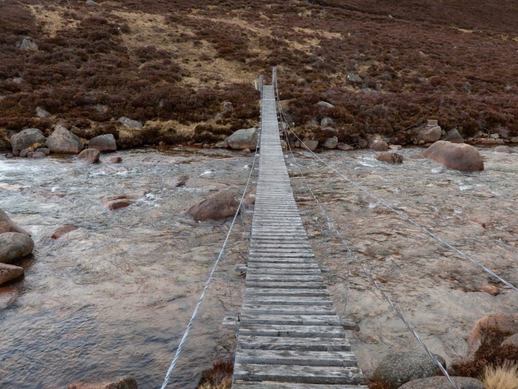
Besides the hut lies the wire bridge, a swaying contraption with a fairly loose ‘hand rail’ that would be nasty to cross if the river was in spate on a stormy day.
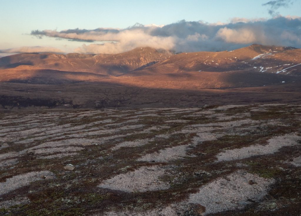
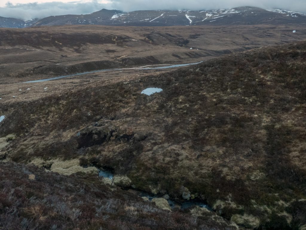
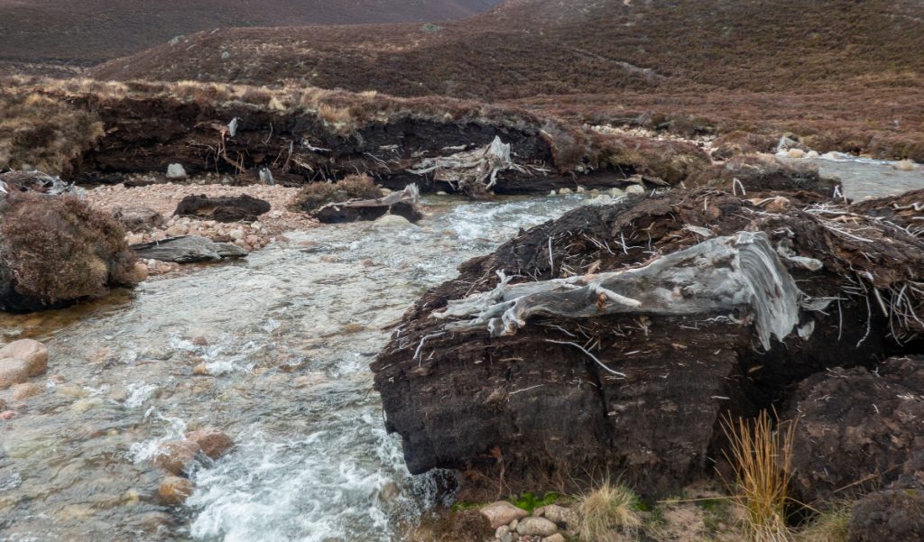
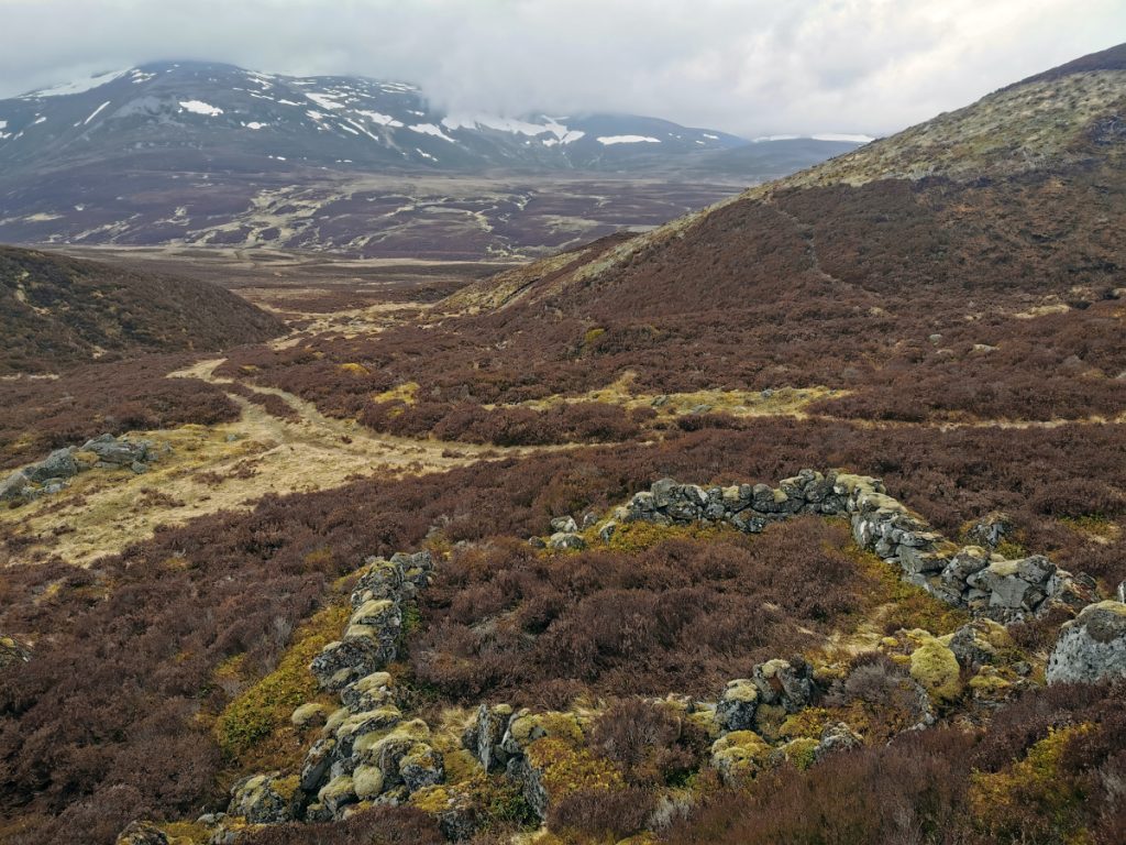
Crossing the Cul na Bruaich, there’s an unusual area of peat clumps, cut through by the river revealing many old bog-wood stumps. If we take the general rule-of-thumb that peat forms at 1m per 1000 years, then we can see this a very old remnant of a forest.
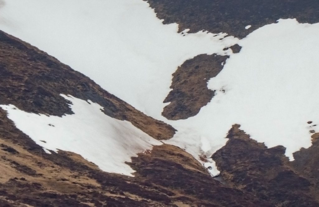
We contoured around Coire Odhar and reaching 819 I saw some tufts of white and bones: maybe hare or ptarmigan had been caught and devoured by said winged beast of the nose. A pellet with white fur and some feathers lay near, and another odd ‘pod’, roughly the size of of a ping-pong ball, and appearing to be filled with vegetation – see if you can guess what it might be.
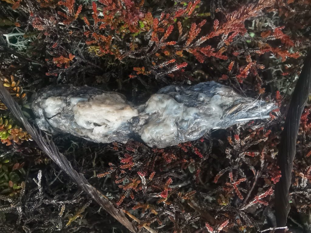
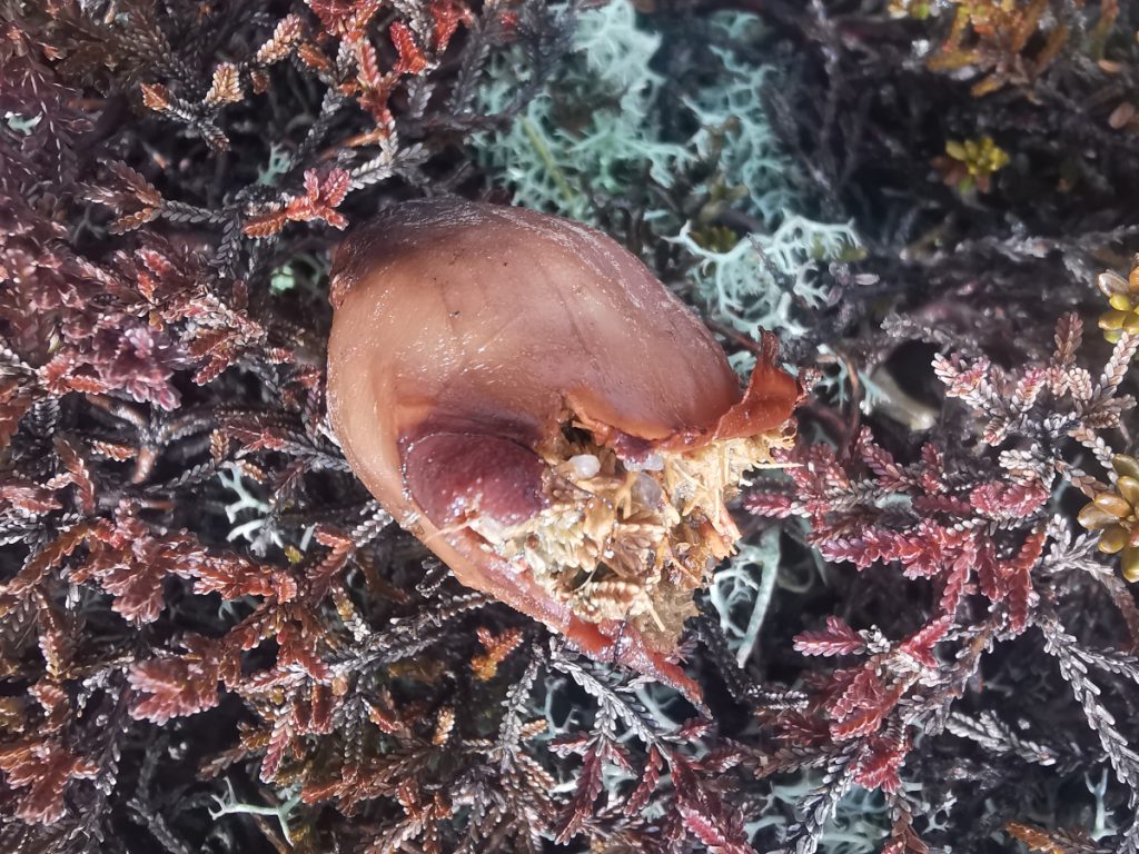
Later on I pondered and looked back at the photo. I can only guess, being full of vegetation, is that it’s stomach/gullet of either a ptarmigan or hare, and that the predator has gnawed at it and finding it not meaty inside has left it. Open to other suggestions though.
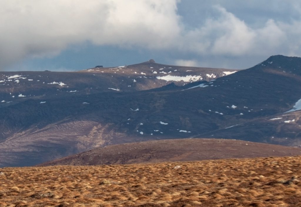
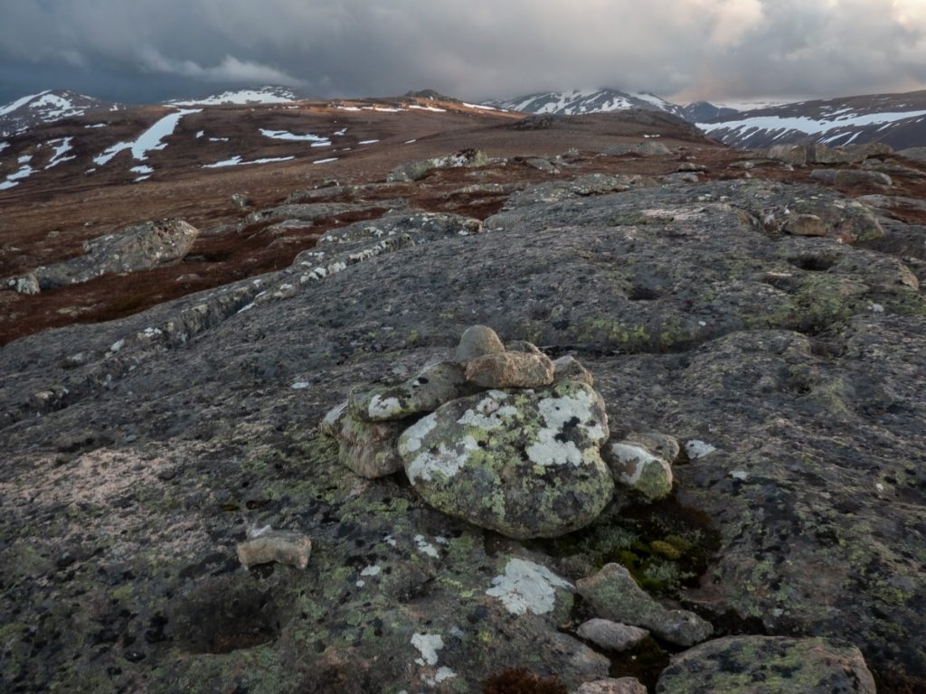
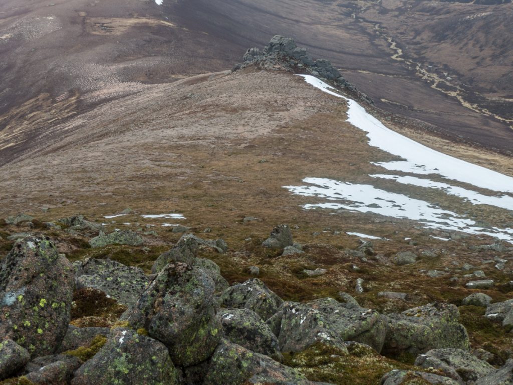
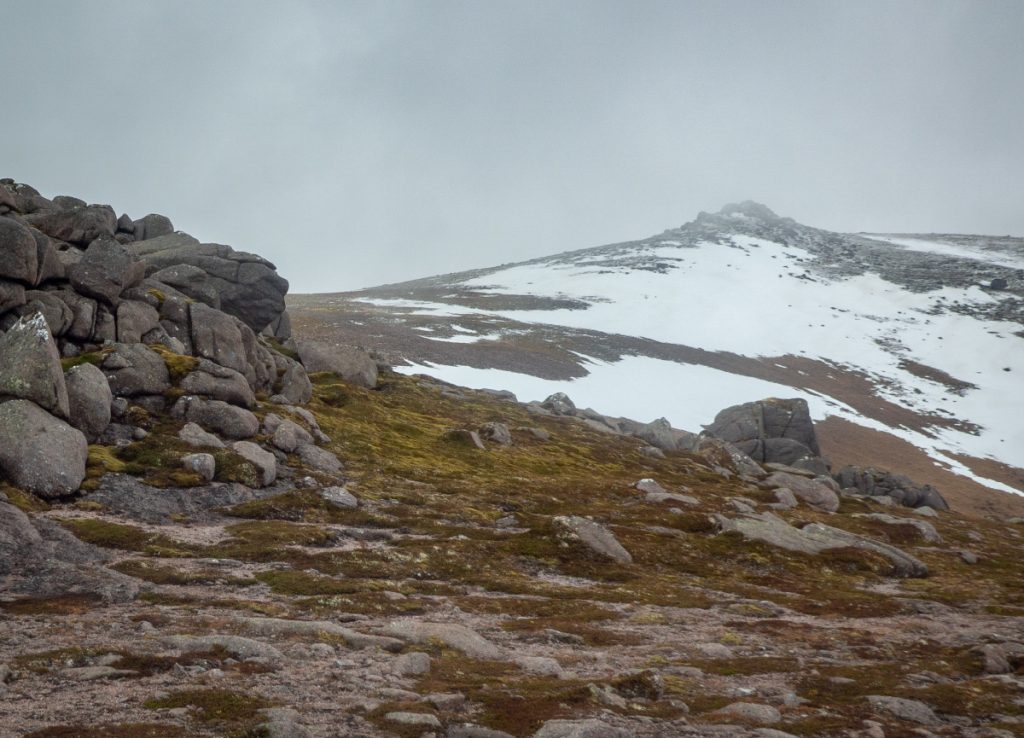
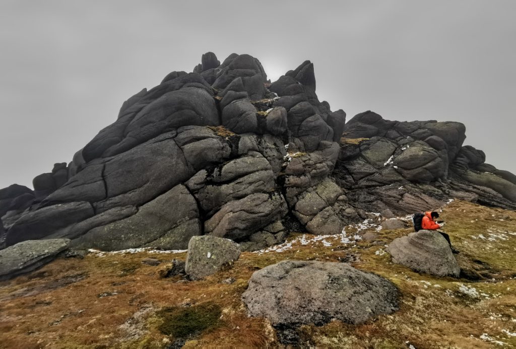
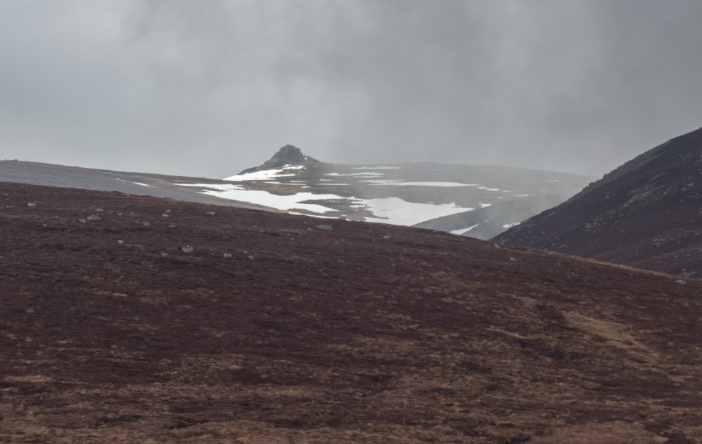
We began to climb again and soon reached the foot of the target spotted yesterday: the impressive tors of Clach Bun Rudhtair
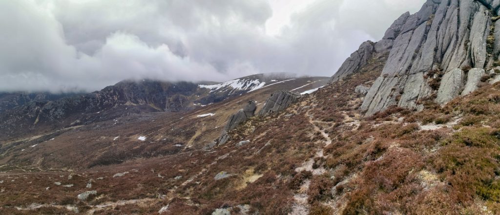
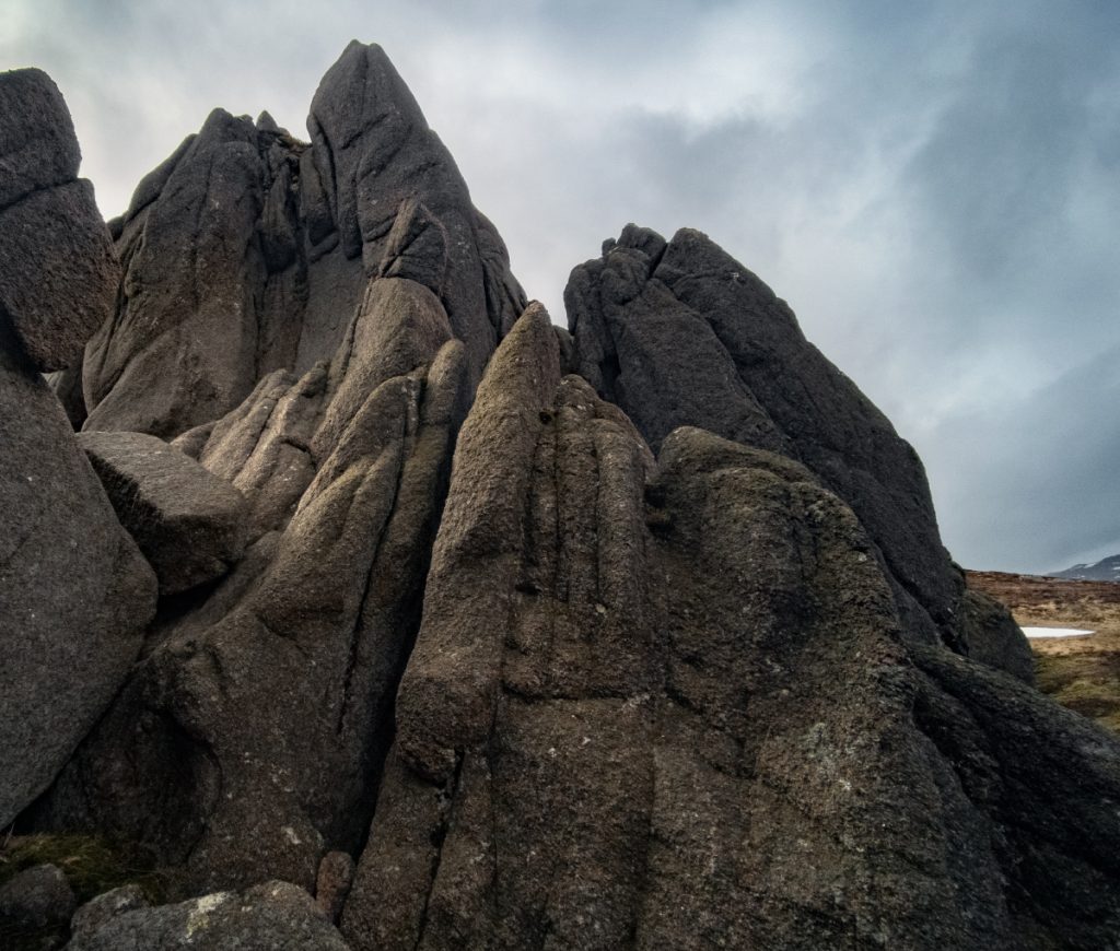
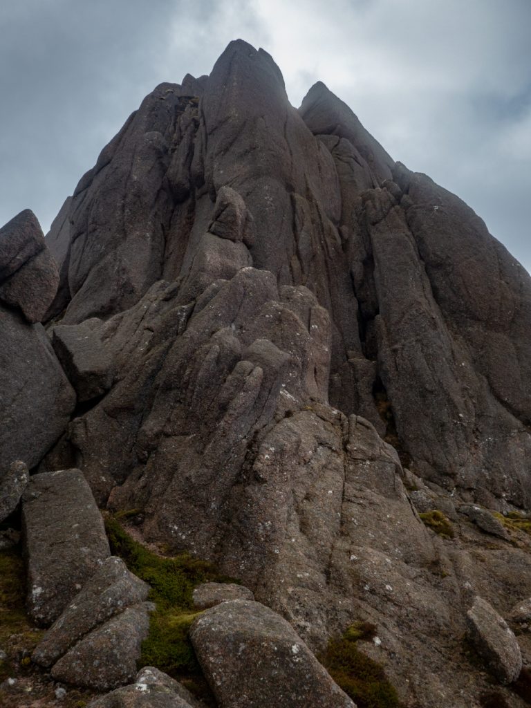
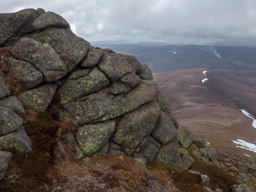
I had a wander around the tors – I think they’re taller and more impressive than the Ben Avon summit ones, before stopping for lunch in what might be the last good spot of shelter as we’d become exposed to the southern wind on the plateau – it was chilly enough here already.
I’d suggested in the morning that we should check out Lochan nan Gabhar and then head up West Muir Gorm Craig before continuing south, but the reality in seeing it was that this would be a tough undertaking, a deeper corrie and rough ground on the other side, beyond what we could do today if we wanted to get to Keiloch at a sensible time. Looking ahead to the plateau the weather was looking iffy too.
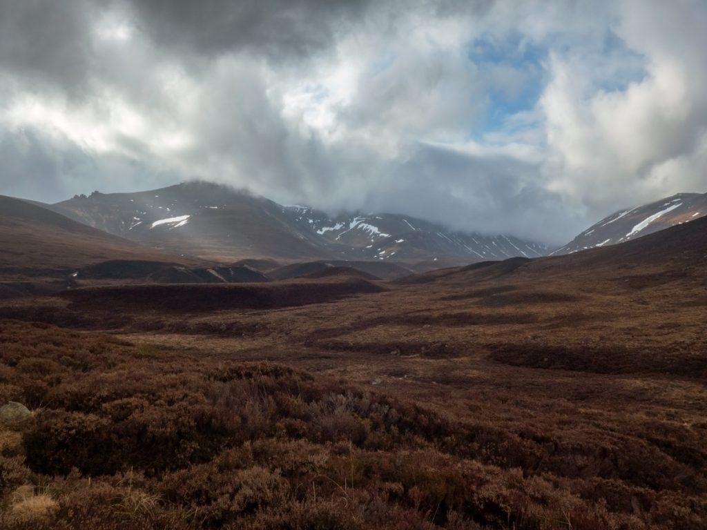
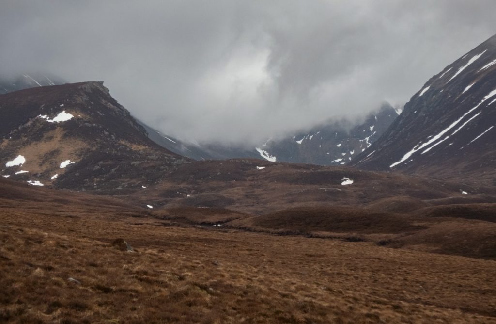
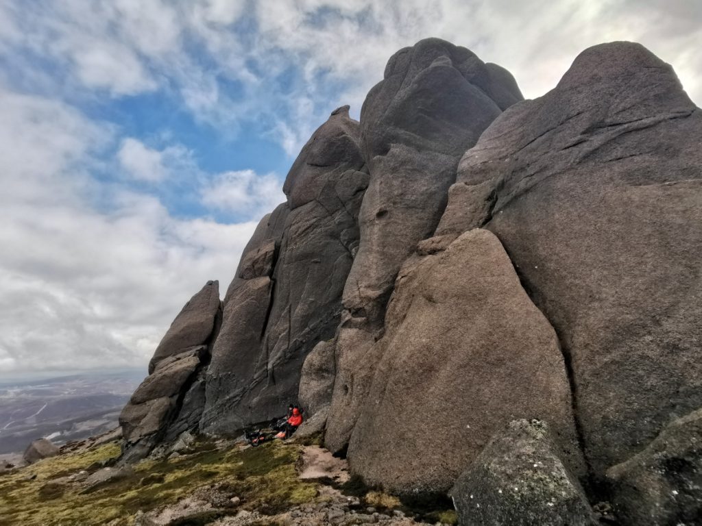
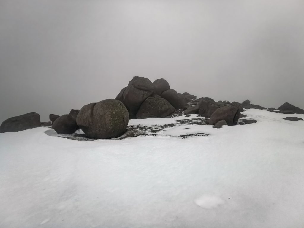
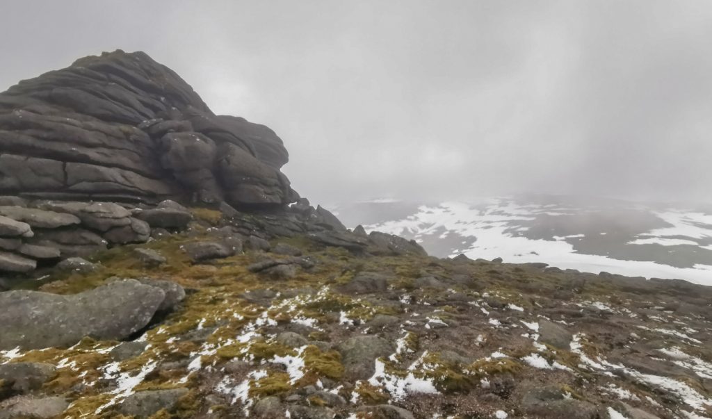
Looking on to the plateau we decided to keep navigation in the low visibility simple – there’s a row of tors that would periodically provide a positional fix.
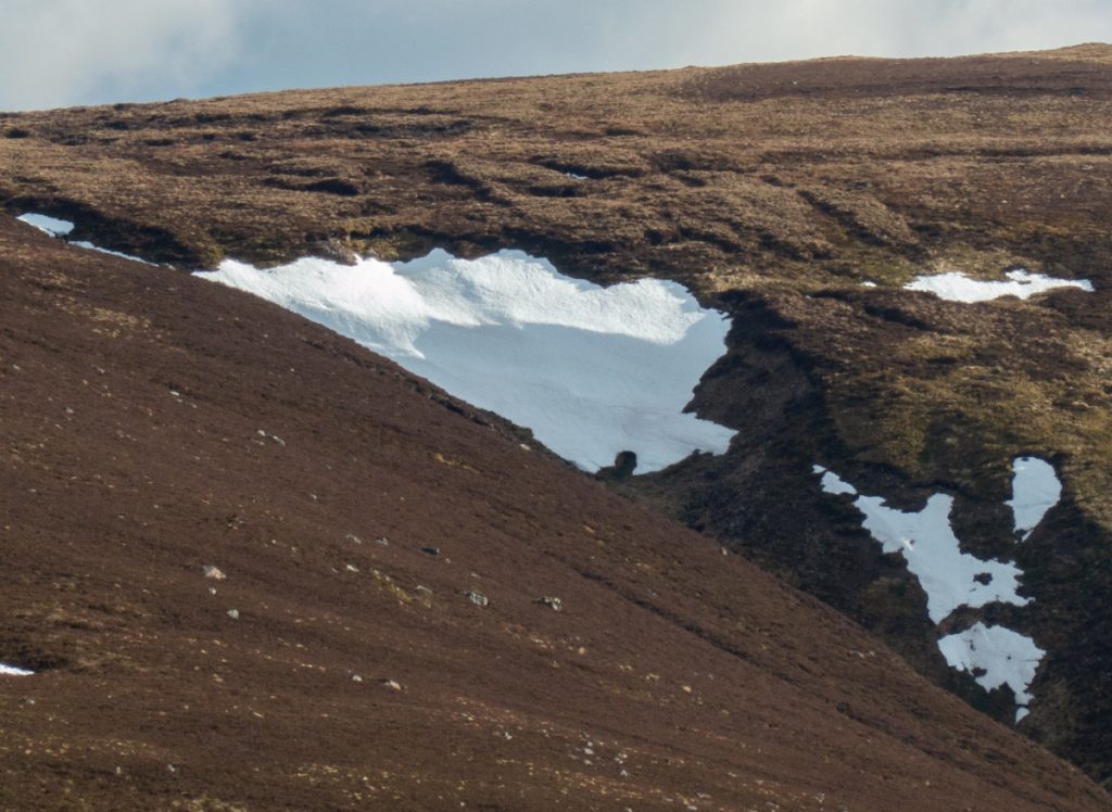
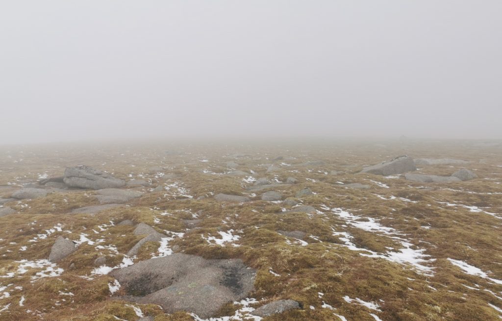
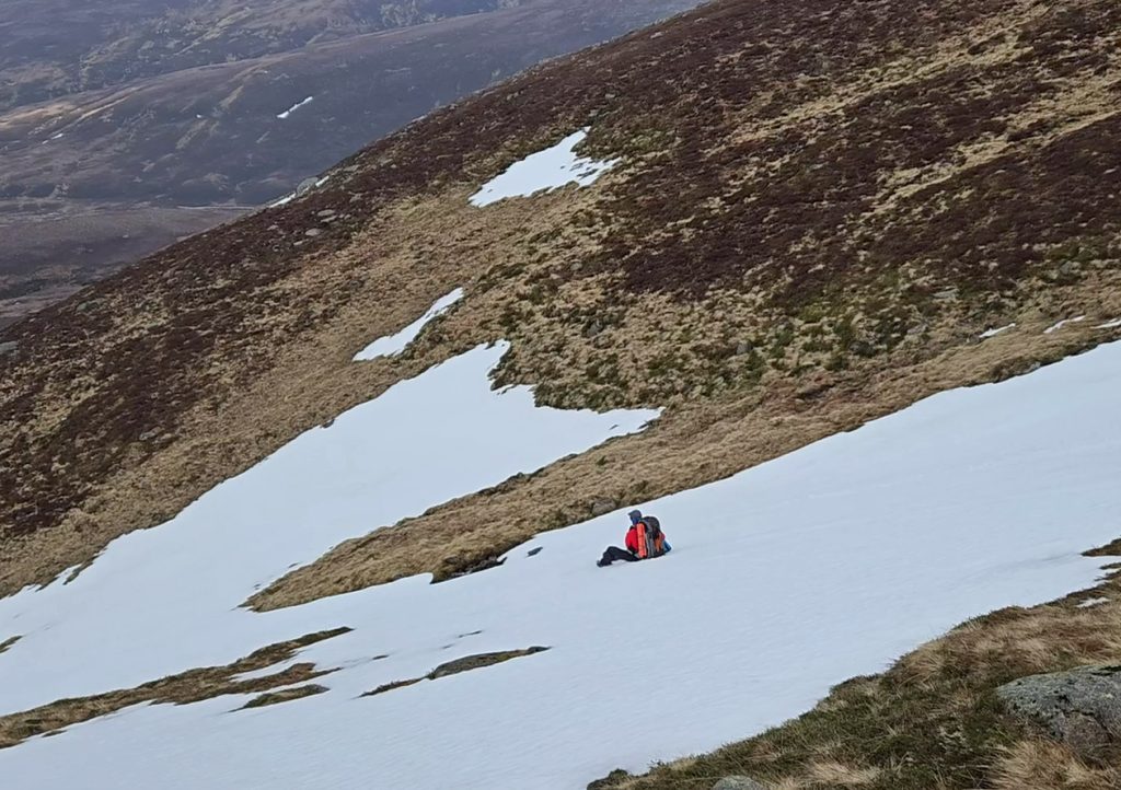
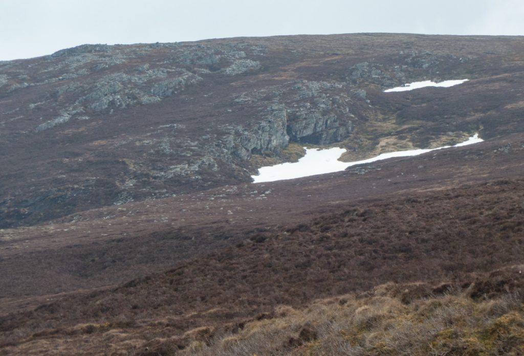
The wind howled past and it was carefully follow a heading time with visibility occasionally dropping to 50m, periodically a dark hulk would loom out of the haze. There’d been a sprinkle of fresh snow, and plenty old snow fields still remained; the sunny spring feel of Abernethy was now distant.
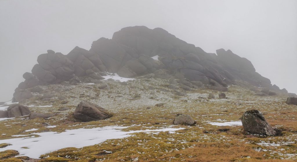
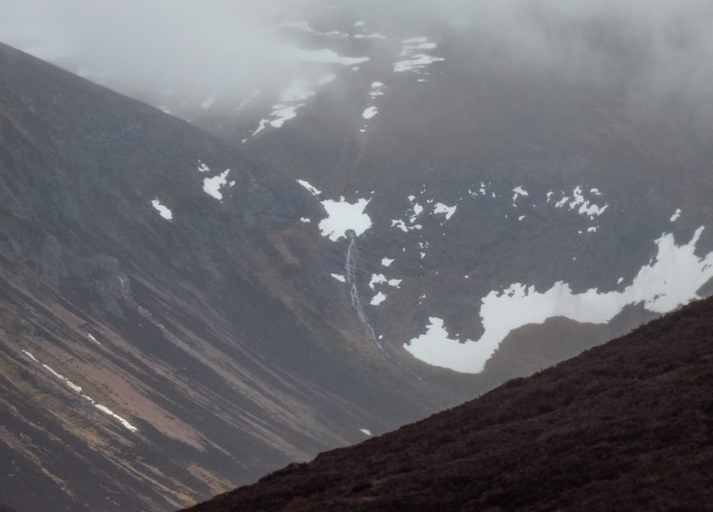
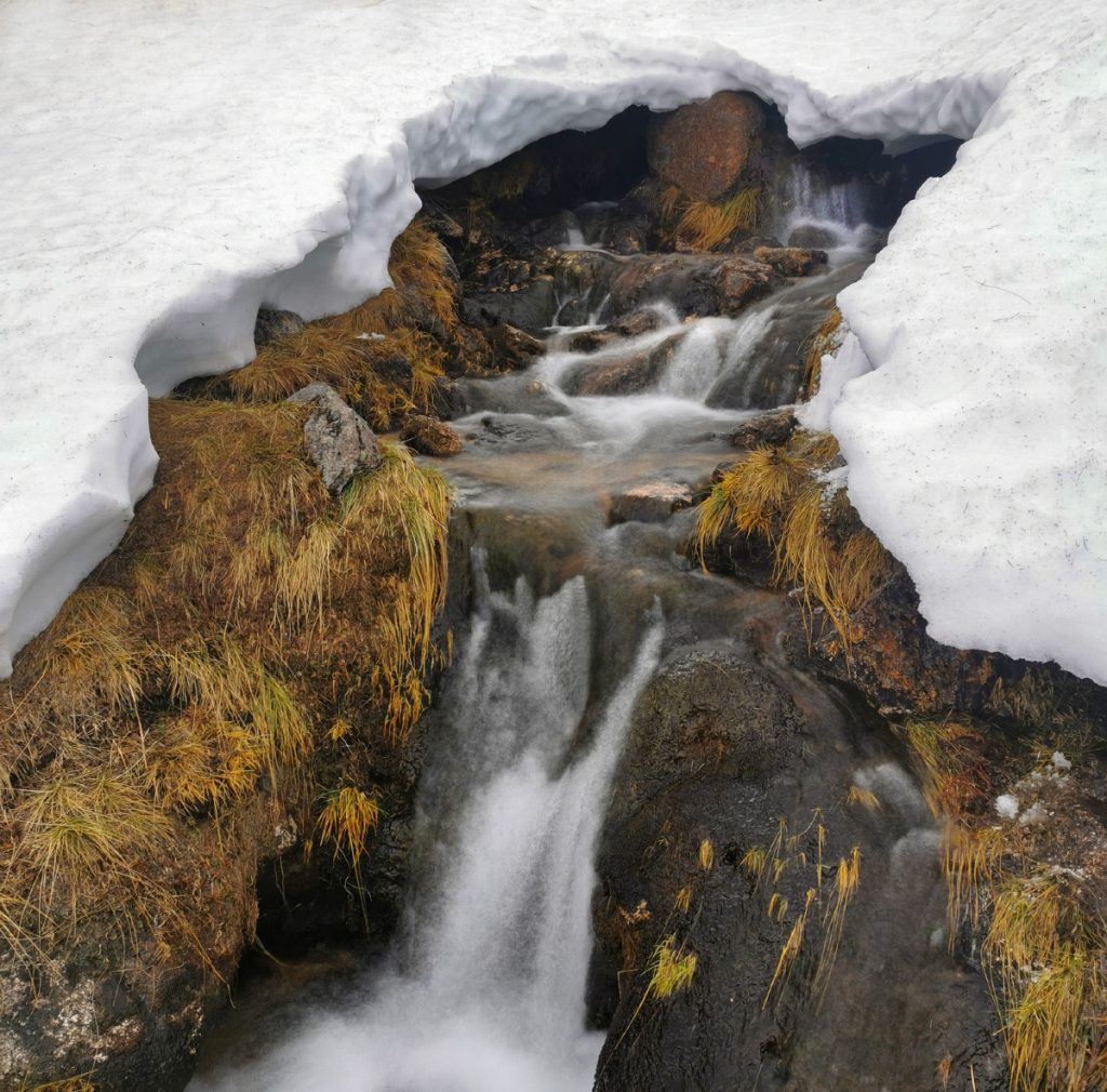
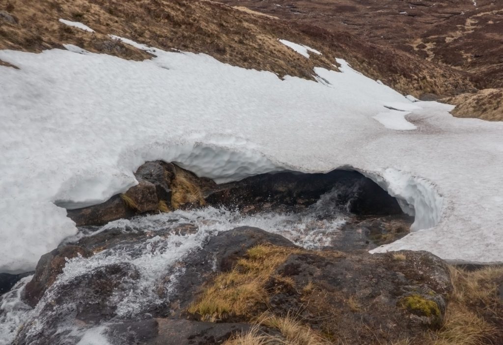
A tor tour completed, now it was time to descend. I was keen to scope some possible ‘snow tunnel’ gullies east, to the west the cloud cleared briefly to see what was below in the Allt an Eas Mhoir ‘regular’ route down. It looked like it might be tricky, it’s got boggy bits higher up at the best of times, and the patchy snow cover over the stream made it look hazardous.
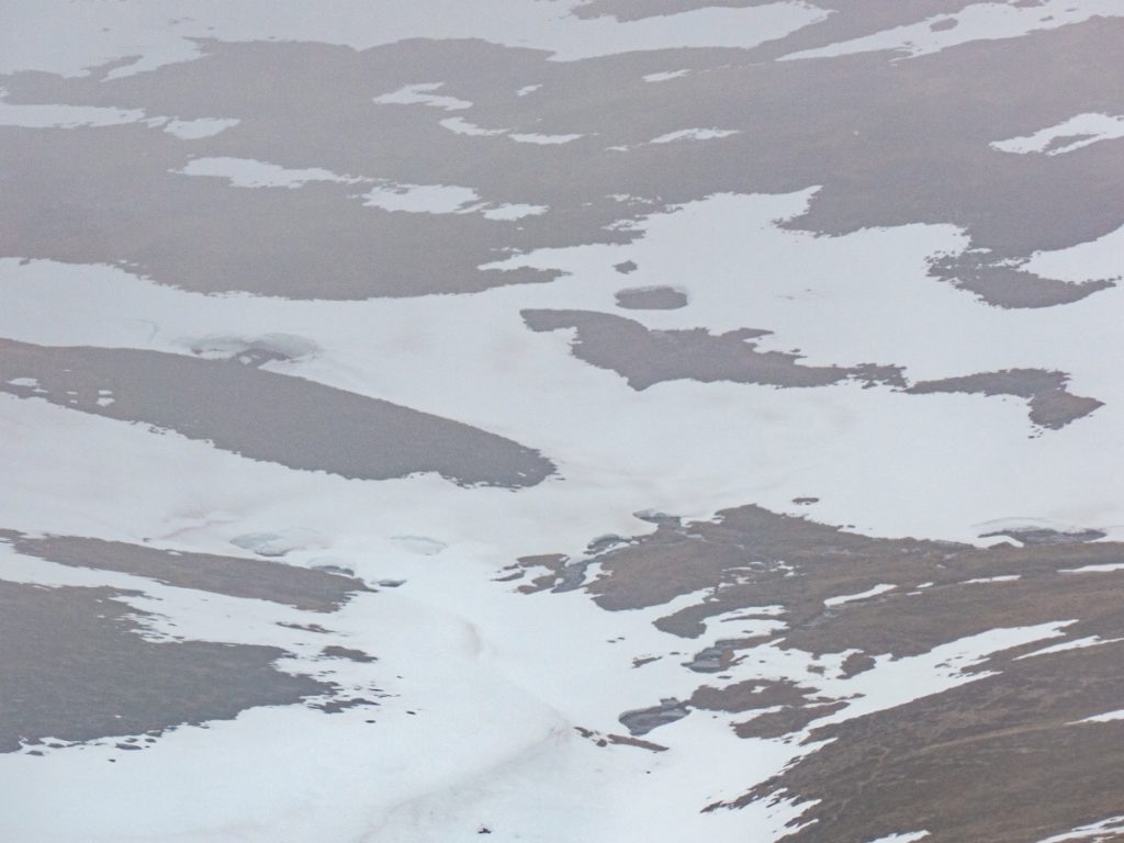
I’d have ideally wanted to have scouted the east side of the plateau, where multiple stream gullies lie, to look for snow tunnels. In particular, the forked stream above Sgor Riabhach has an ideal profile (if maybe a bit hazardous), and the Allt Phouple has potential. Our tor-tour had led us further south, but we still had Allt Bad a Mhonaidh to look down. The upper parts were too broad to form much tunnel-wise, but made for great glissading. Once the stream appeared as the snow began to fizzle out I turned on to the axe to stop, and had a peek in some very small gaps.
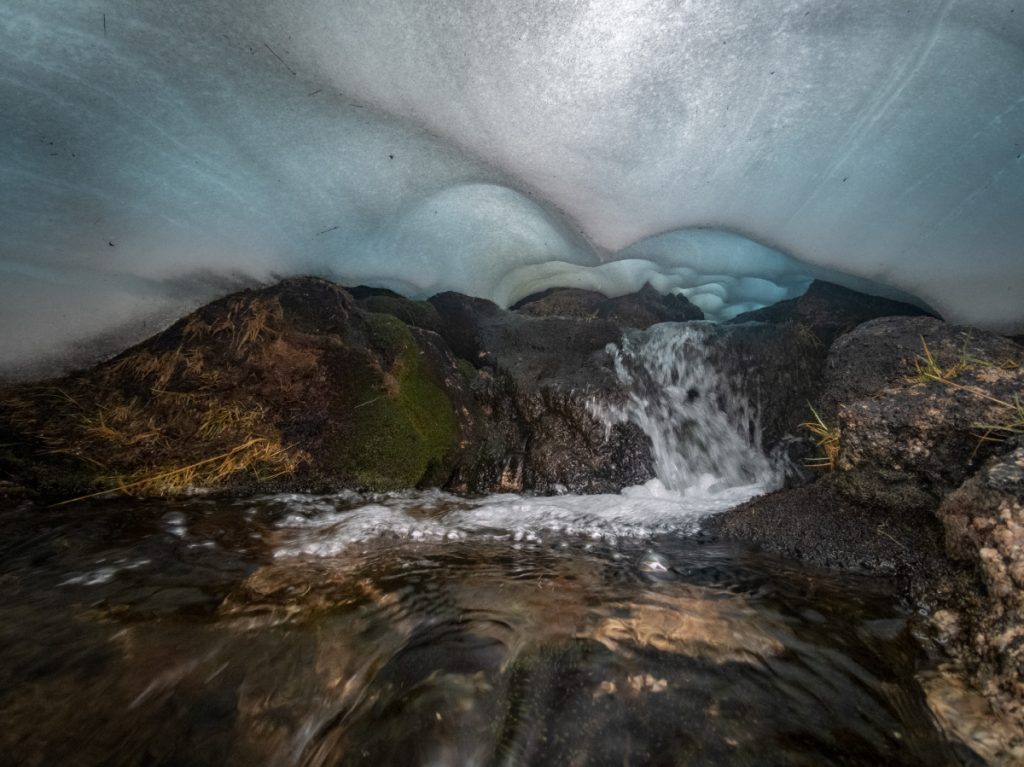
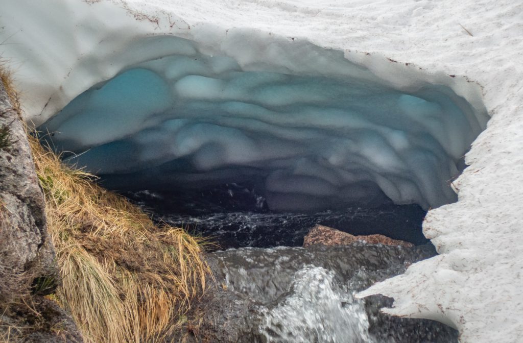
I followed the stream down, now mostly snow free and thinking we were now below the snowline, but at the 800m contour the stream tips over steeply and the narrowing of the gully was buried in snow.
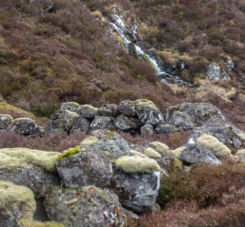
I crept along the edge but it was precarious, slippery rock and the stream hammered down a series of waterfalls, not a place to slip.
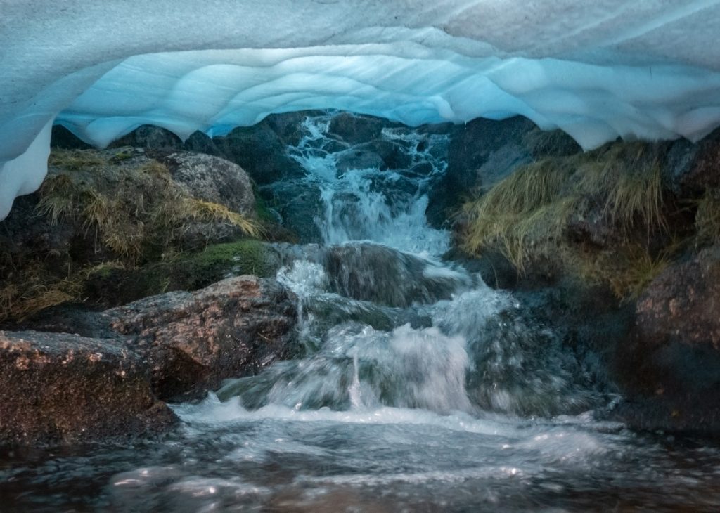
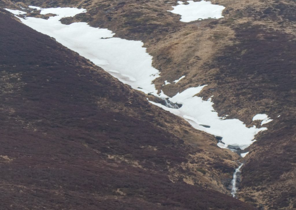
With the sides too steep I climbed out of the gully and headed onwards. Looking back, there’s another large waterfall below that I hadn’t noticed.
After some bog-hopping we crossed the Gairn at the footbridge
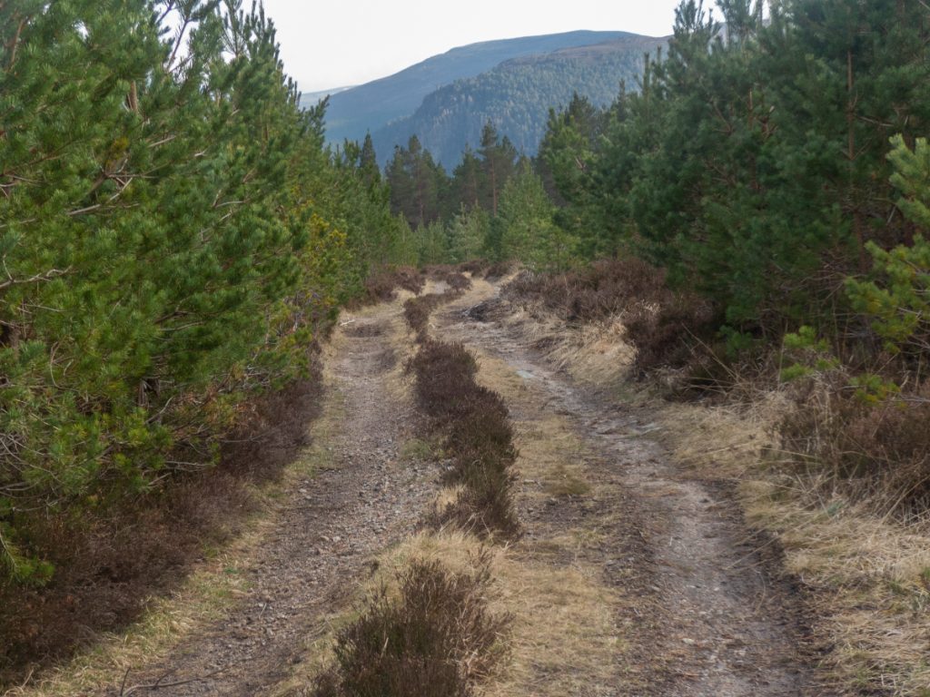
The path following the Allt na Claise Moire quickly joins a landrover track following the Culla Burn, and I imagine most people take this obvious route, however a thin path snicks back past the waterfall following the main burn upstream, and this a nice hidden nook worth traversing, with hummocks of old rock, there’s miles of landrover track ahead soon enough.
Exiting the path at the top dumped us onto the ‘road’ from Culardoch, and we got a march on heading down, perhaps too swiftly as we missed a turn amongst the forestry fence mess below Meall Gorm, and were diverted along the Allt Dourie past the stables, but pleasant enough here where there’s a few years of regeneration.
I stormed along the remaining Invercauld road to make the bus time (some things never change) feet beginning to sting, with just enough time to see the Dee side in bright sun. The bus only went to Ballater, but allowed for a most welcome fish n chip stop before the next leg home.