Today’s trip is to a lesser known hill 8km to the South of Banchory called Kerloch. Most folk in the area will be drawn to the iconic Clachnaben and well known Hill of Fare, but as the highest hill to the East of the Cairn o’Mounth / old military road , it’s worth a walk up to see the surrounds.
Our start point is at the Bridge of Bogendreip 5km SW of Banchory.

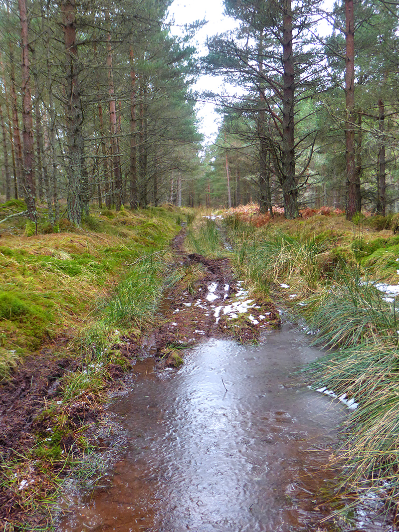
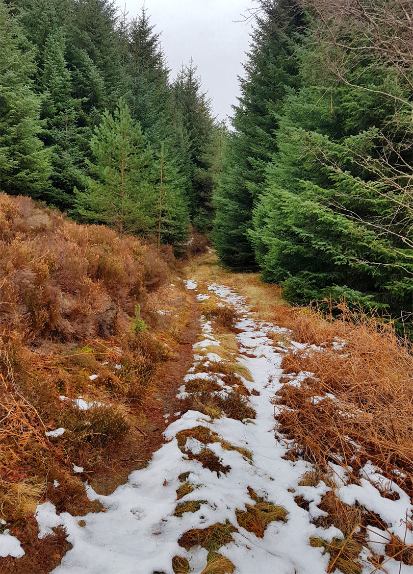
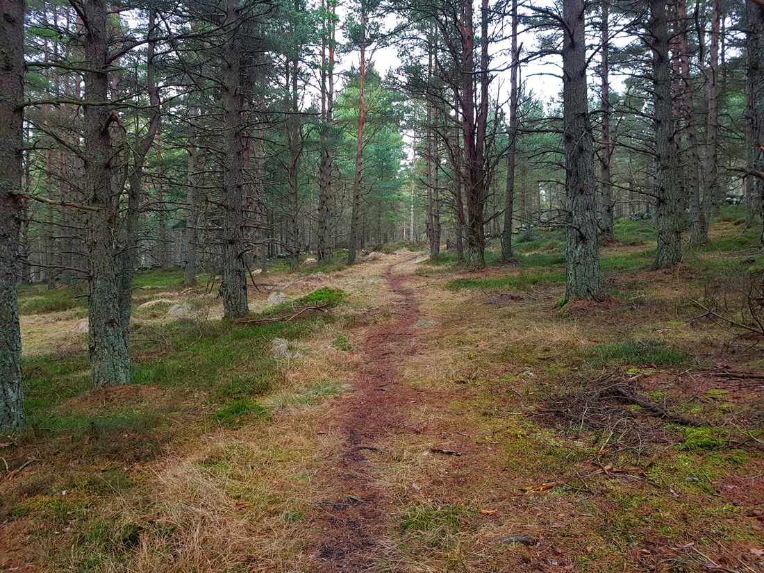
The area is very active with industry – both windfarms and forestry; we straight away see signs of churned up paths, and chopped down tree sections, though they afford views which would otherwise be lost until much further up. There’s a wee bit of snow lying but nothing that will hinder progress.

We follow the Builg road, an ancient route for drovers heading South. Step carefully across the Bingly burn
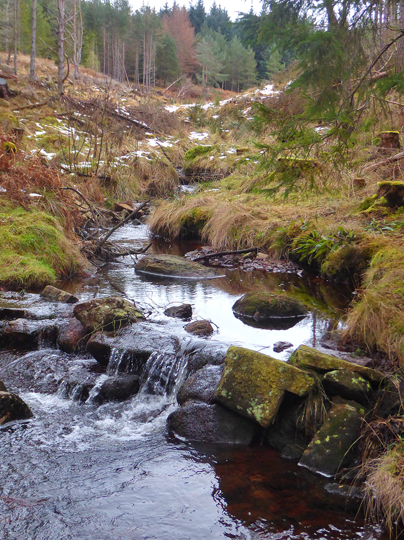
Pretty dubby and puddly today
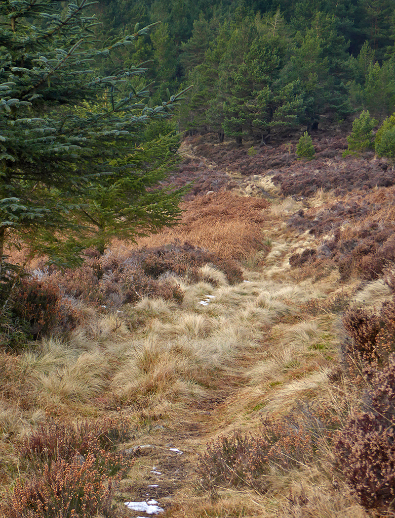
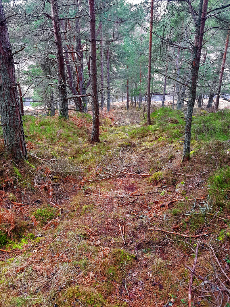
The path clears the forest
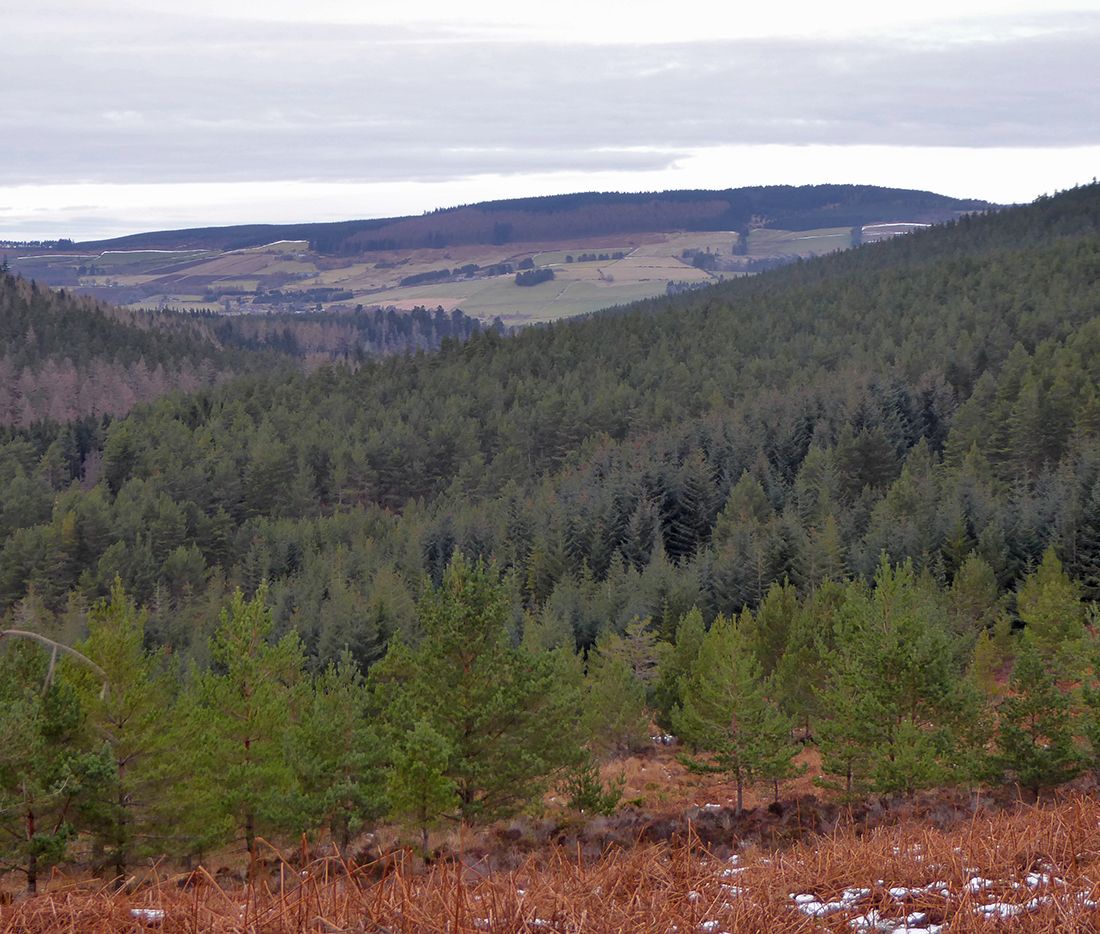
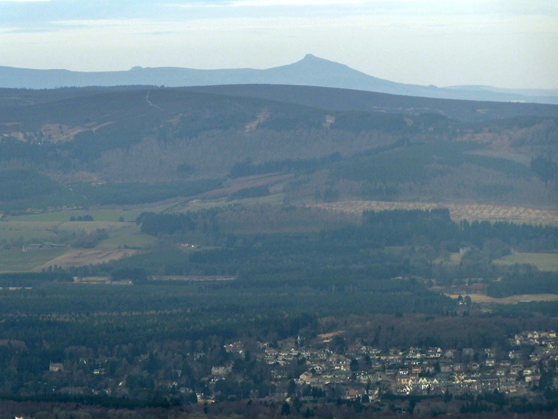
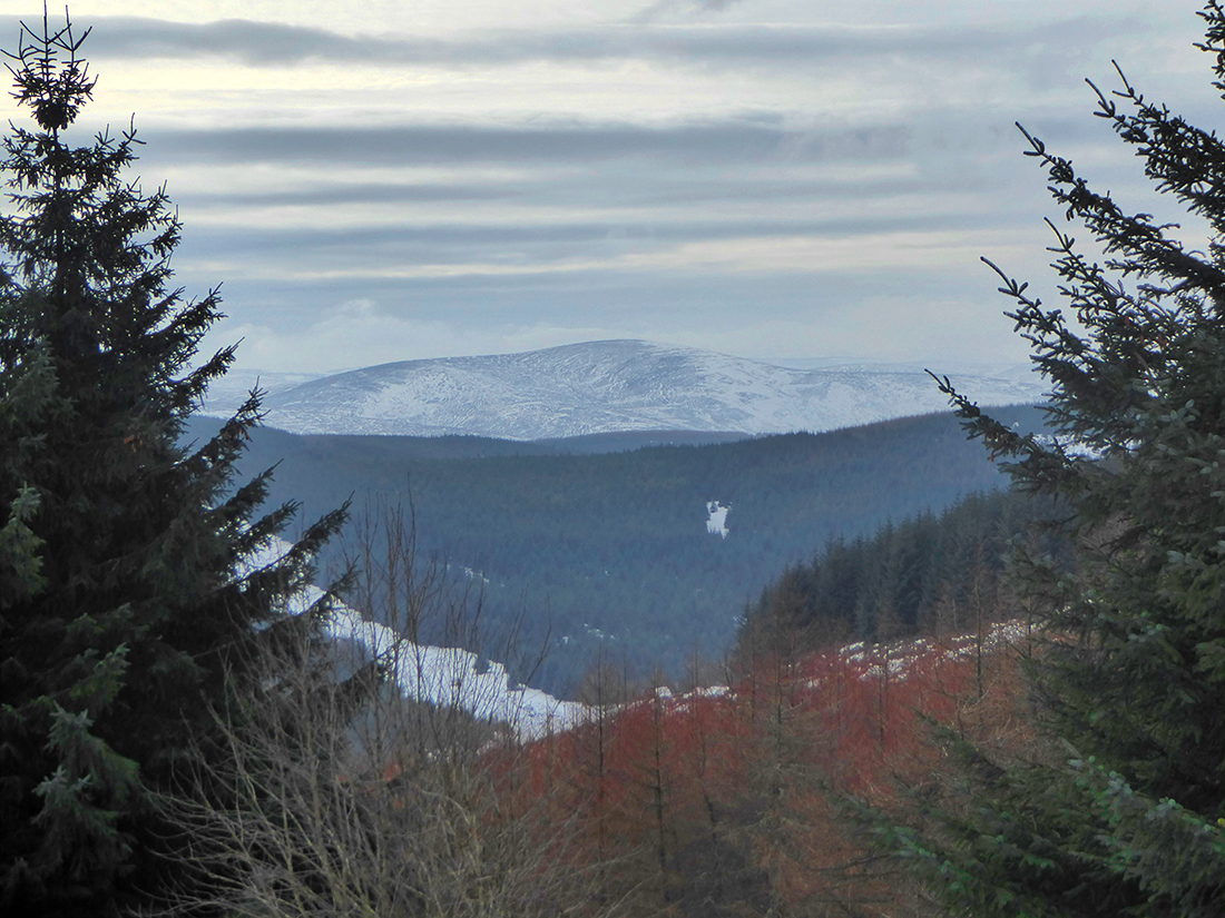
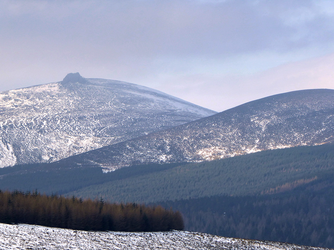
The well known shape of Clachnaben on the horizon
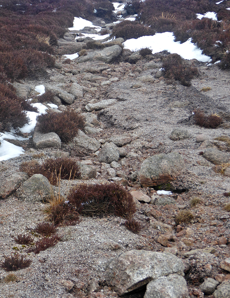
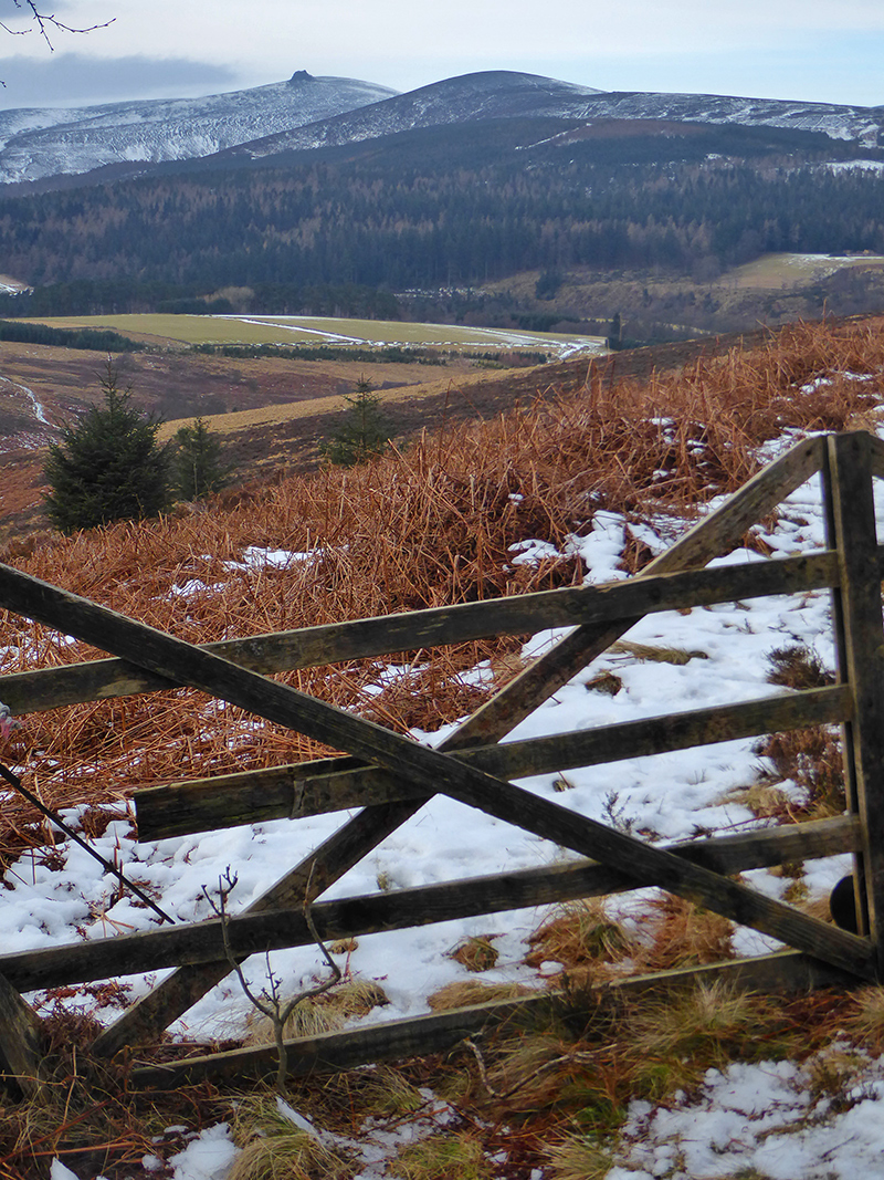
Traversing a bit of moor as we curve round eastward, a bit more snow appears on the track. A nice scene looking back the way

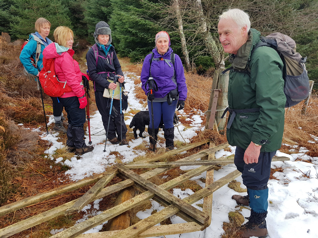
As we are away to reenter into trees, a gate block us. Ian, taking a quick rest against it, falls flat on his back as it collapses only being supported by a straggle of twine, fortunately no harm done. Fence was of course remounted before we moved on.
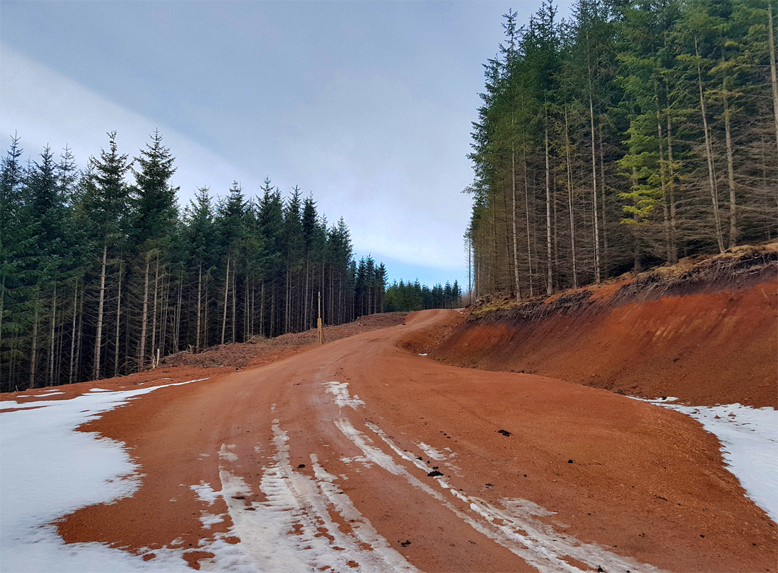
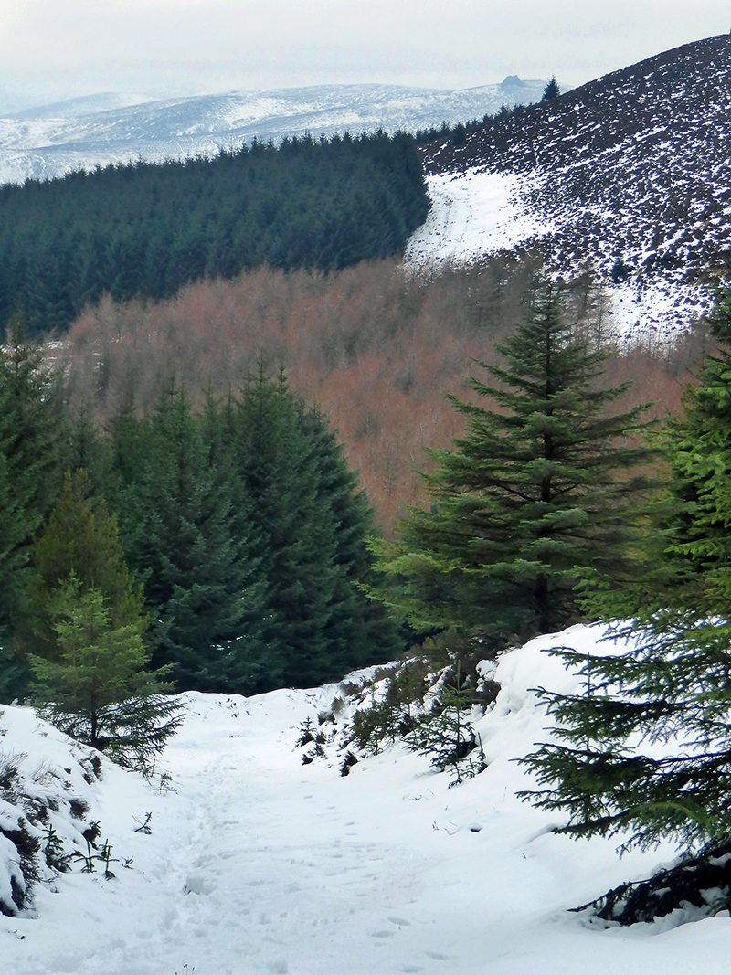
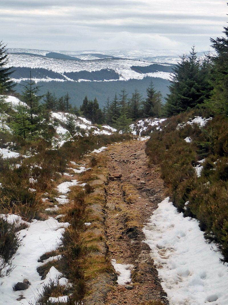
The path opens out to a clearing where it is obliterated by a huge forestry road cut deep through the landscape
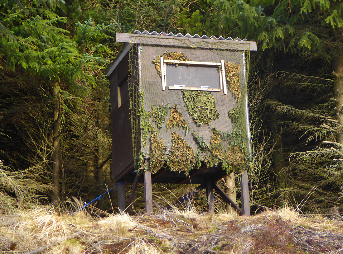
Not sure why there’s a cabin alongside with camo netting
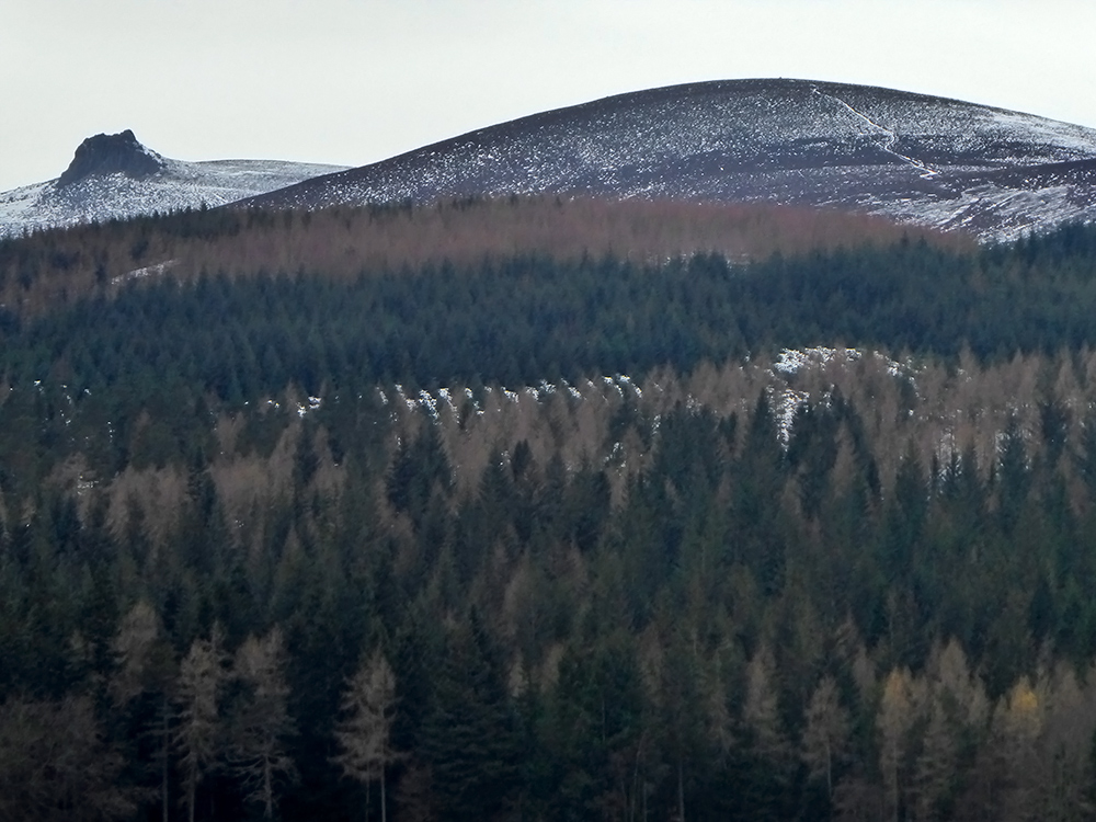
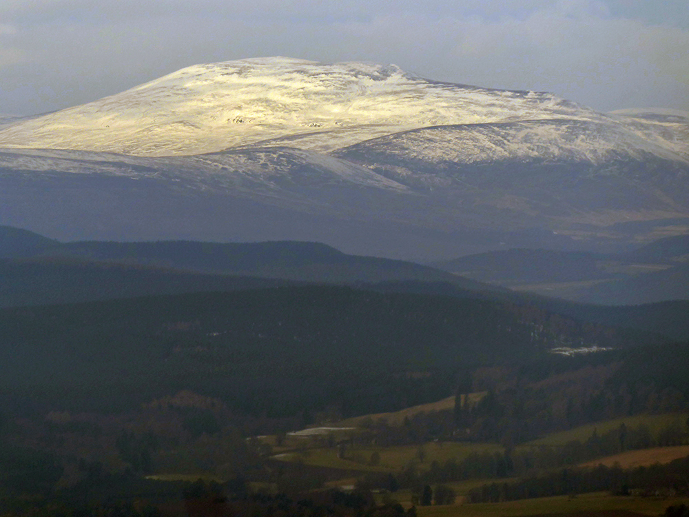
The skies begin to clear to blue, and higher hills on the distant skyline show plenty snow cover

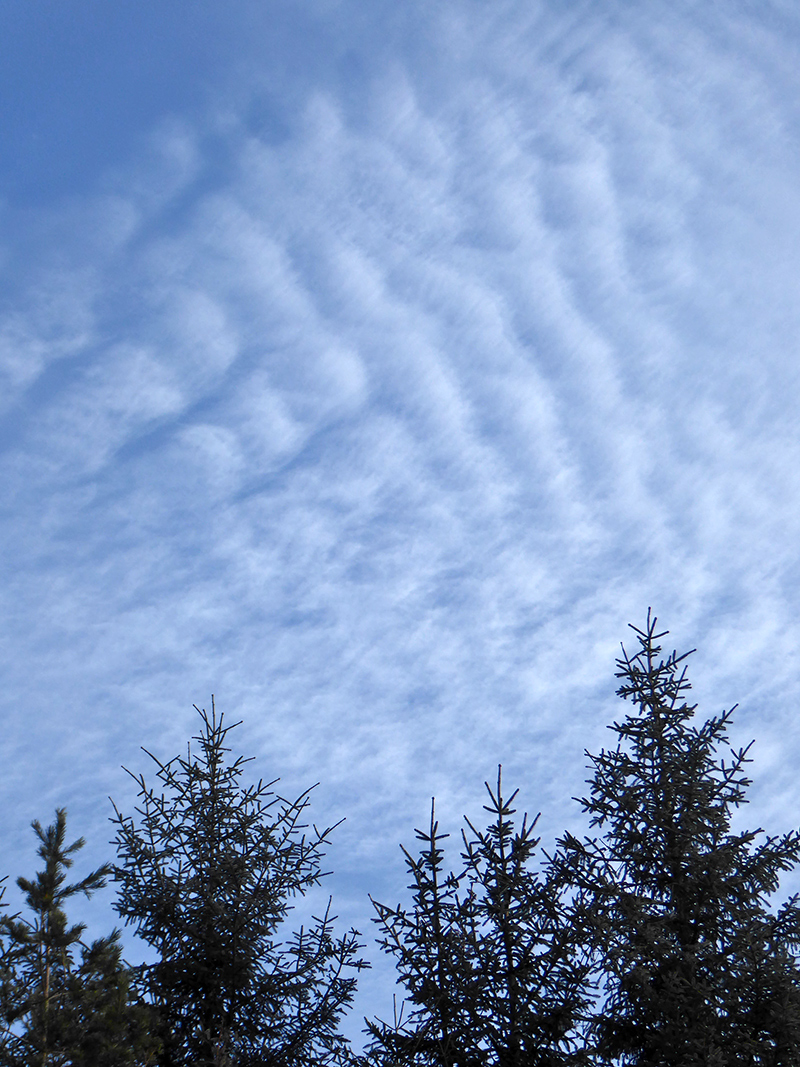
Mackerel clouds whir past
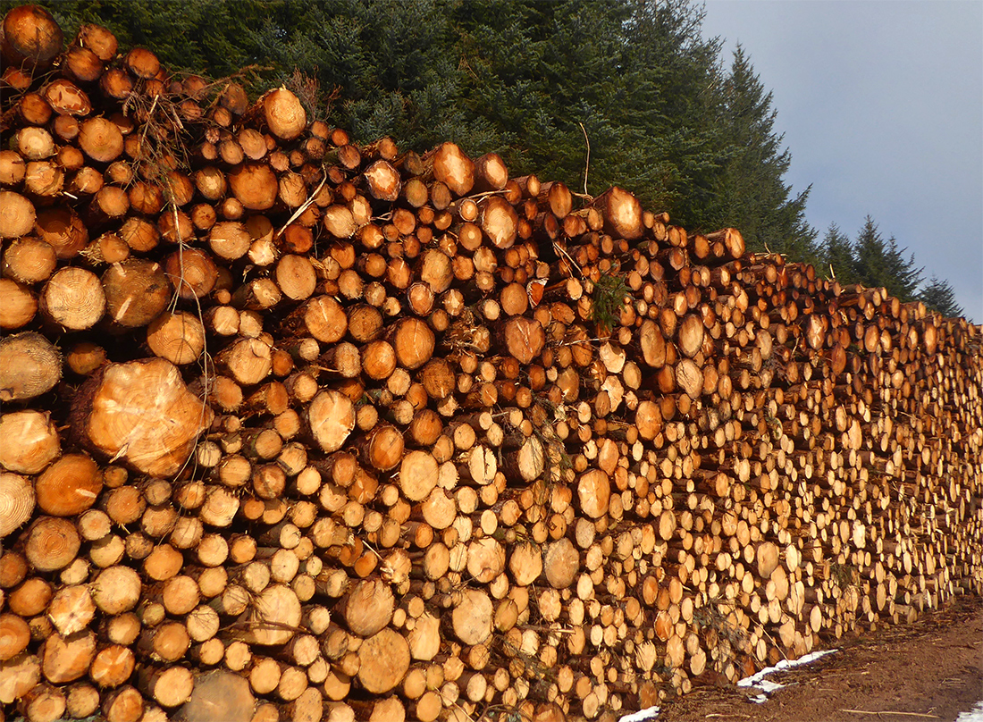
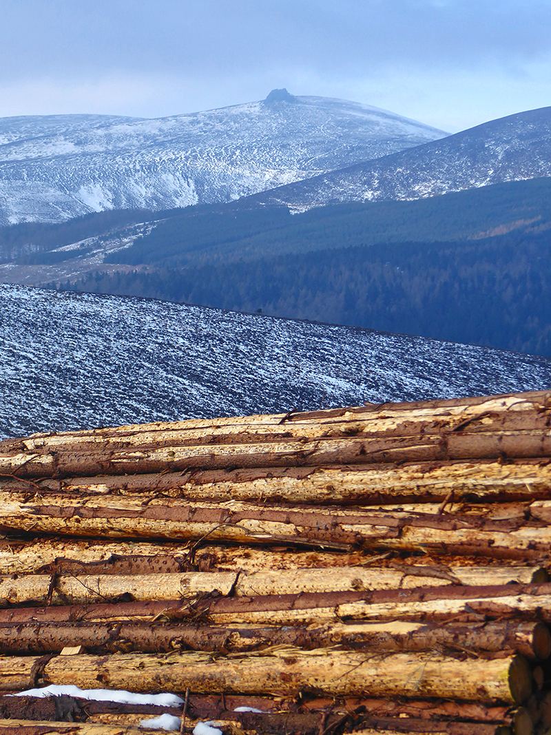
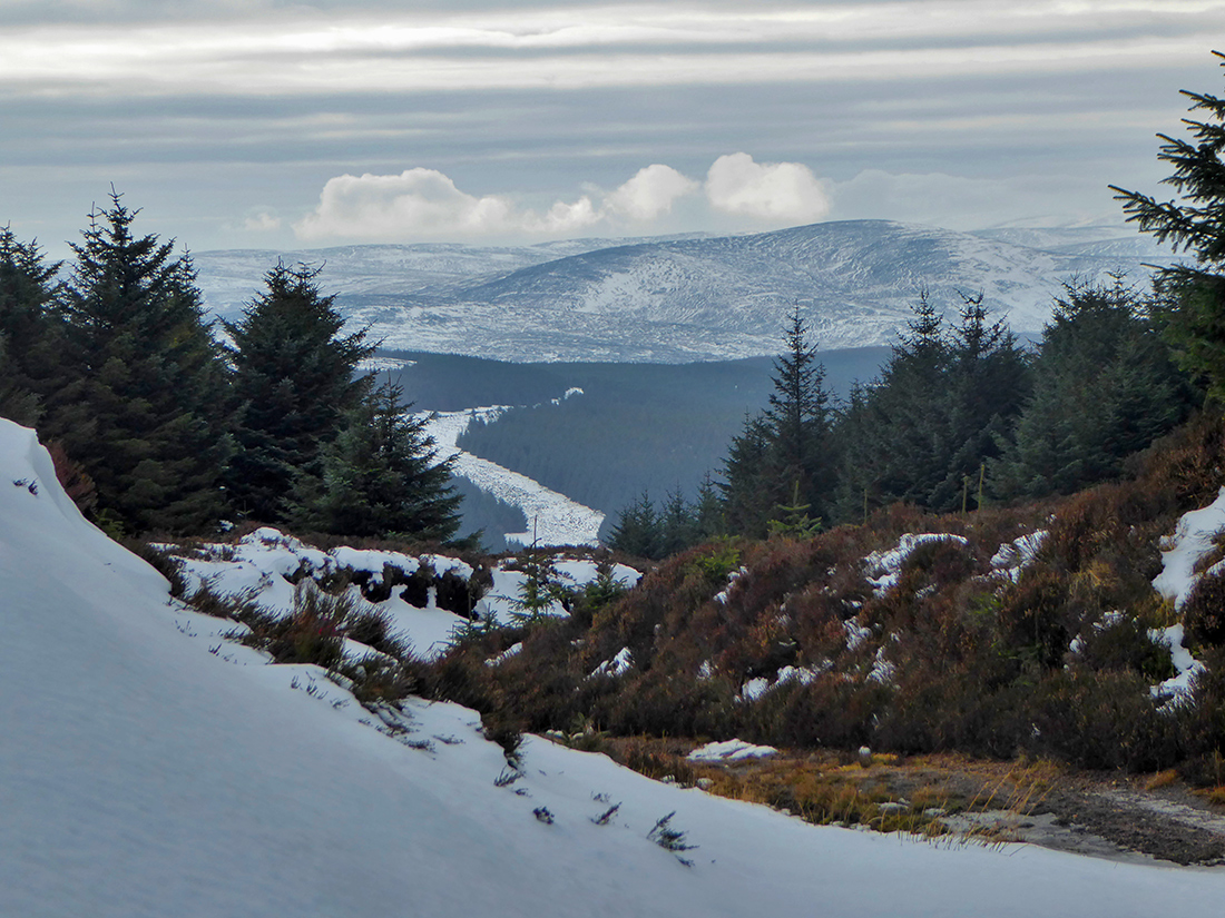
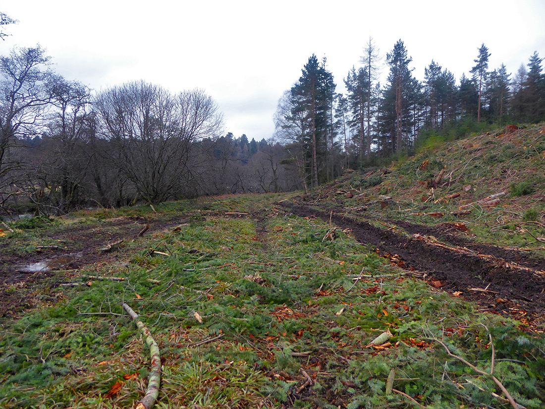
As the path flanks hare hill towards little kerloch, big piles of logs are stacked at the roadside, overlooking their previous domains, now bleak wastelands of detritus. As the ranks of trees were so close and dark, there’s no base vegetation, just stumpy deserts ready to unleash floods downstream to towns
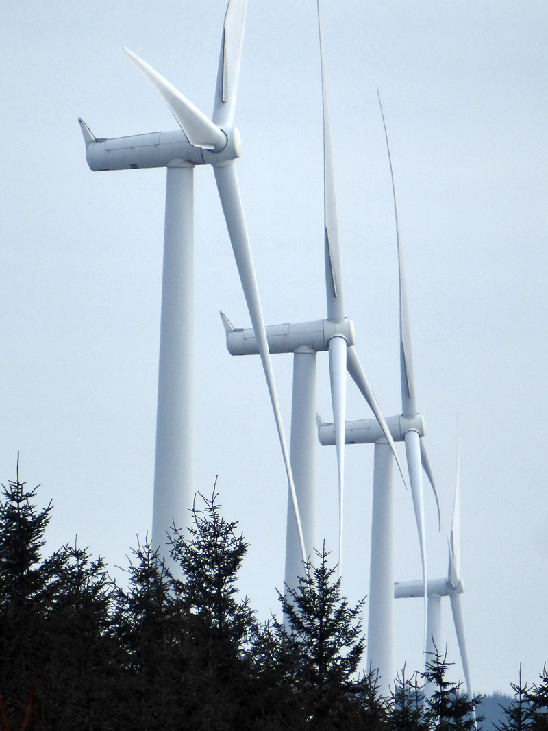
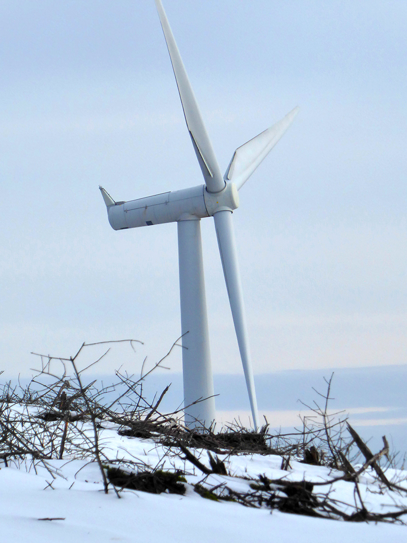
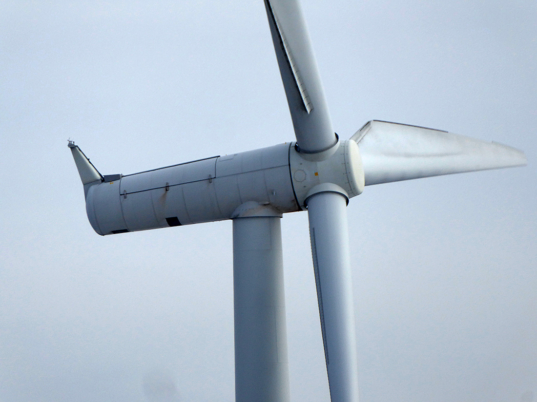
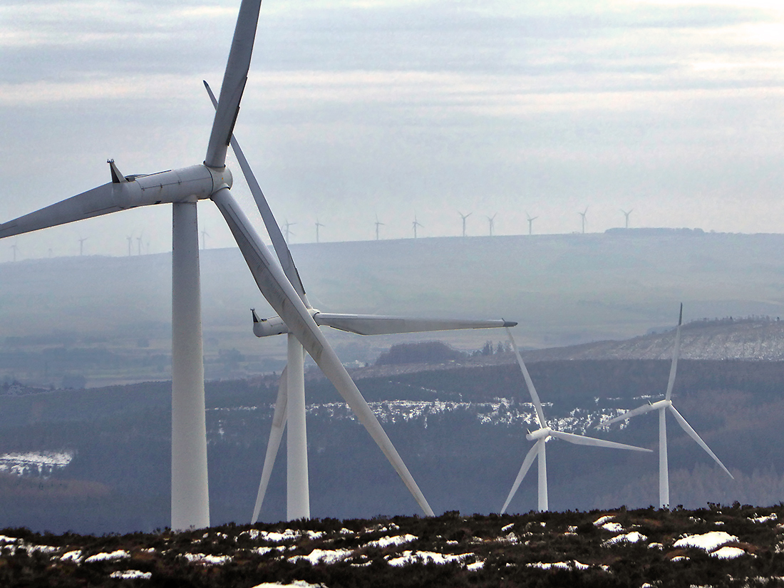
We get our first glimpse of Mid hill wind farm and one of it’s turbines, the new kings of the valley
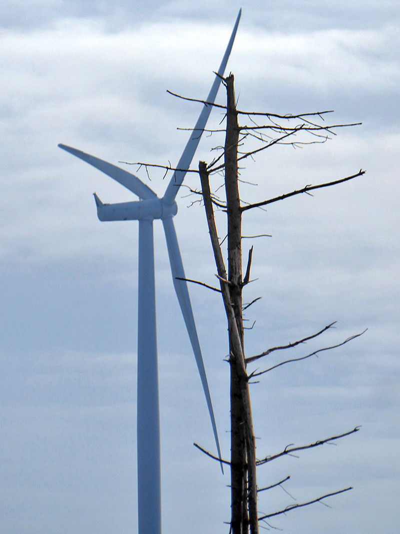
Unlike forestry plantation trees, the turbines are given some room to breathe. Though perhaps they need to be even further apart.
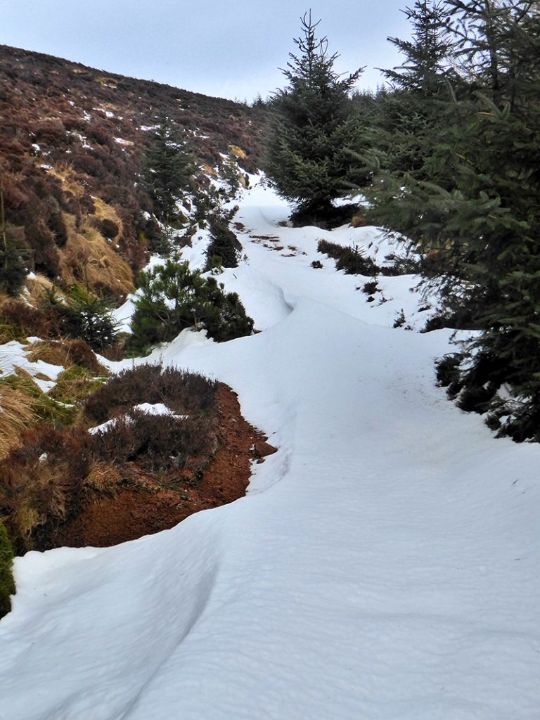
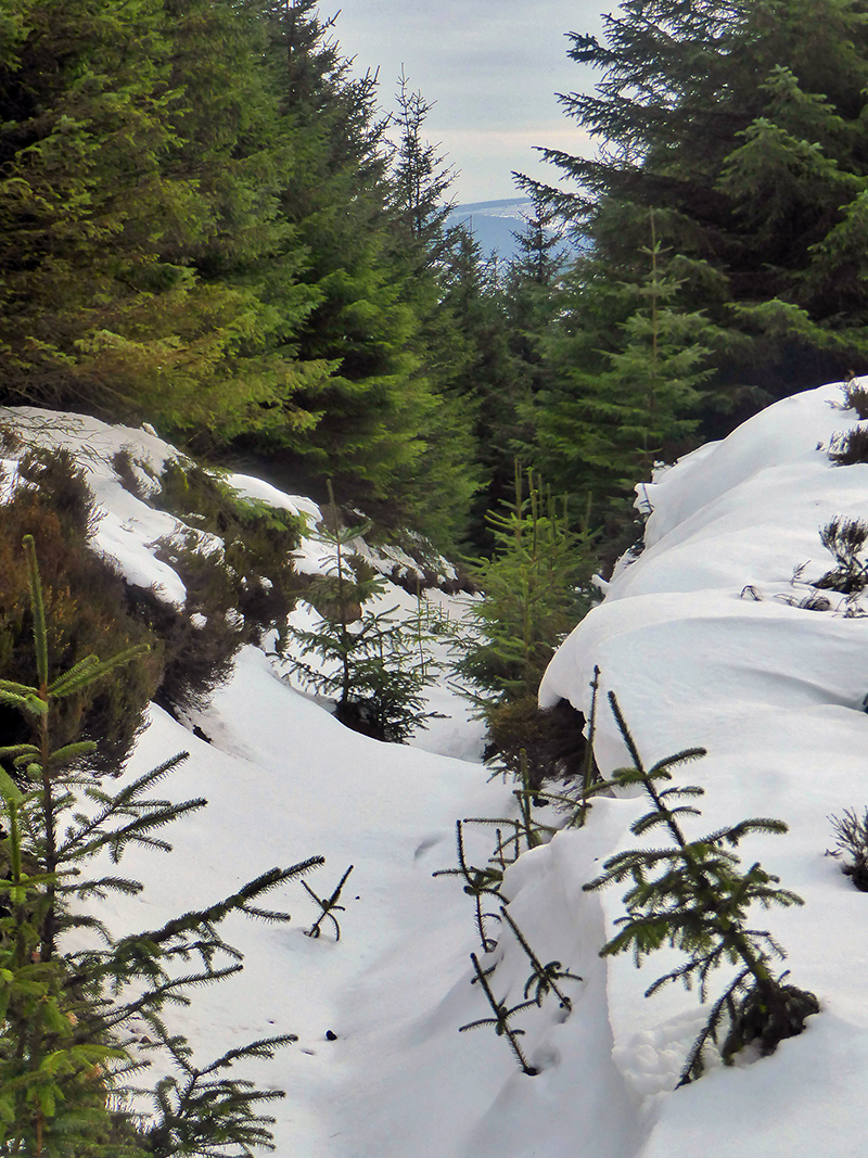
As the path steepens the snow deepens, the gulley and trees providing sufficient wind break for the spin drift to find a home
Peekaboo
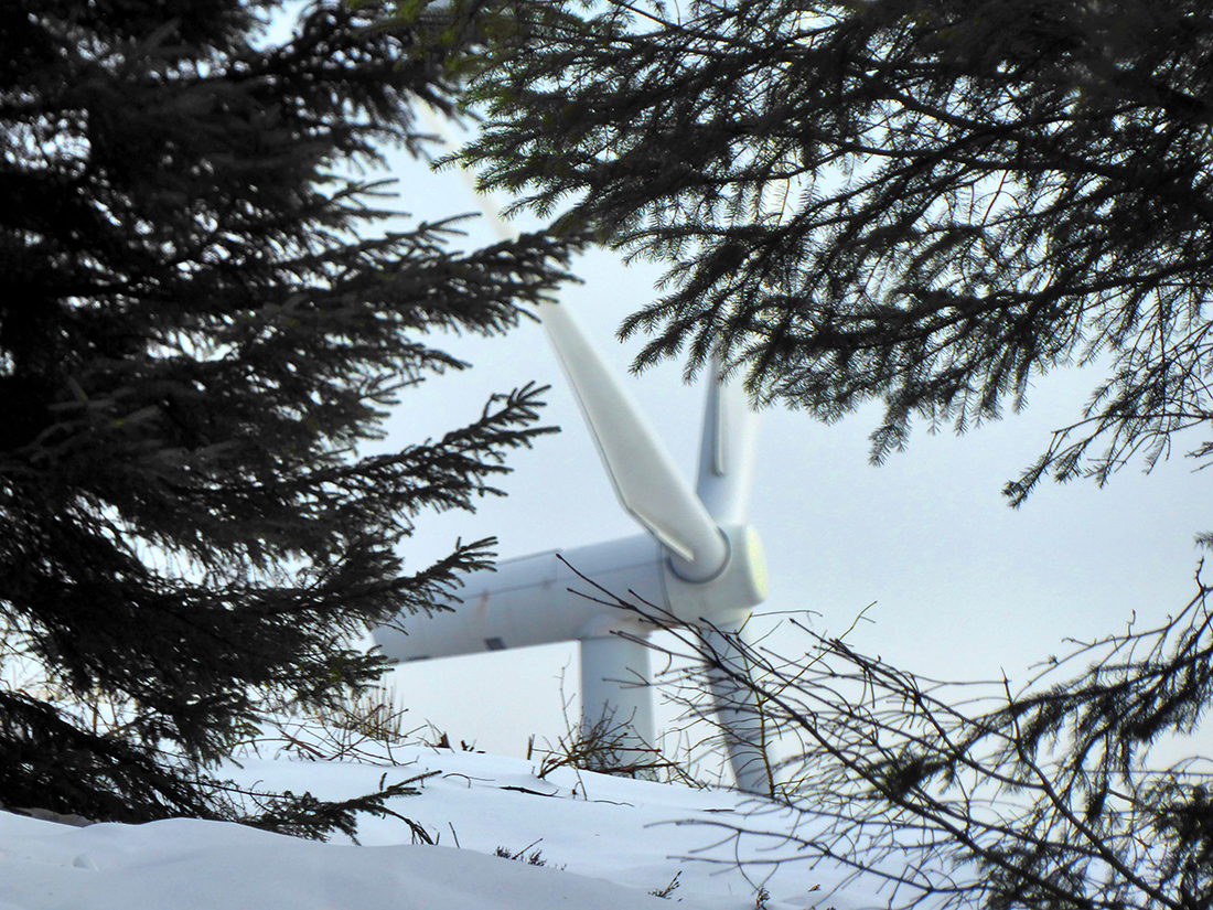
At 80 metres tall, even the most vigorous trees are dominated
Each one pumping out around 0.75MWh, that’s over 10 sacks of coal each per hour not being shovelled.
(taking into account the efficiency of the turbines, thermal efficiency of coal, but not the energy cost of manufacturing and transporting the turbines into place)
It’s such a shame that that almost all of these are made abroad; it’s unfortunate that the decline of our shipbuilding preceded the rise of renewables by a decade or two too many, but our declining oil manufacturing base could have moved sideways into the field but for the blinkered and narrow-minded attitudes there. I once worked for an oil engineering company specialising in cables; I recall asking the boss why they weren’t interested in hooking up hundreds of these, “they just did what they did and not interested”. The oil boom and easy money would last forever. The scandinavians didn’t need asking twice.
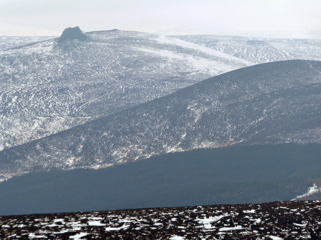
Getting near the top of our primary target Kerloch, wind has sculpted some great curves into the drifts

The track is heavily eroded but will never likely see any repairs
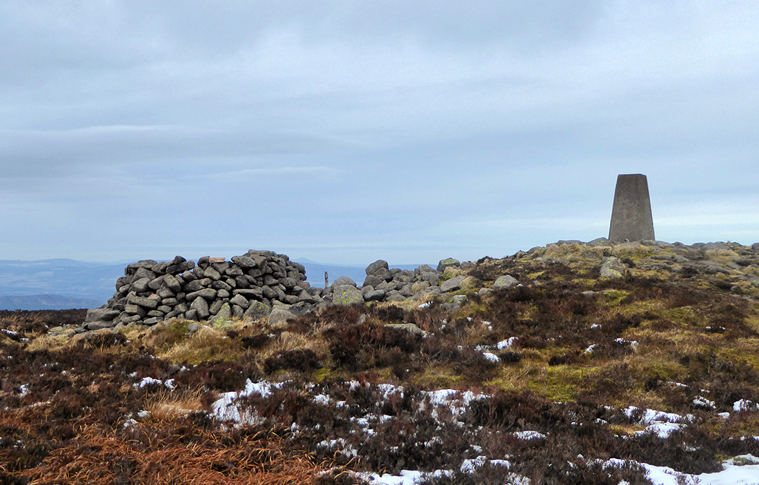
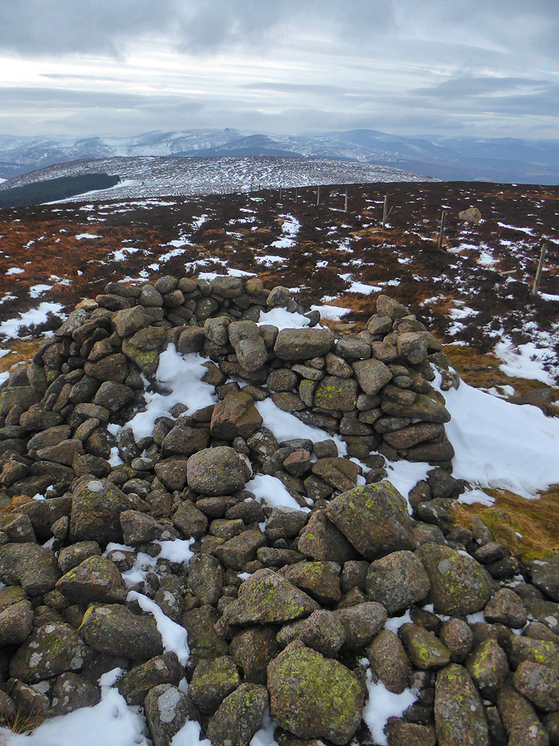
Reaching the top, there’s a trig point and a shelter of sorts
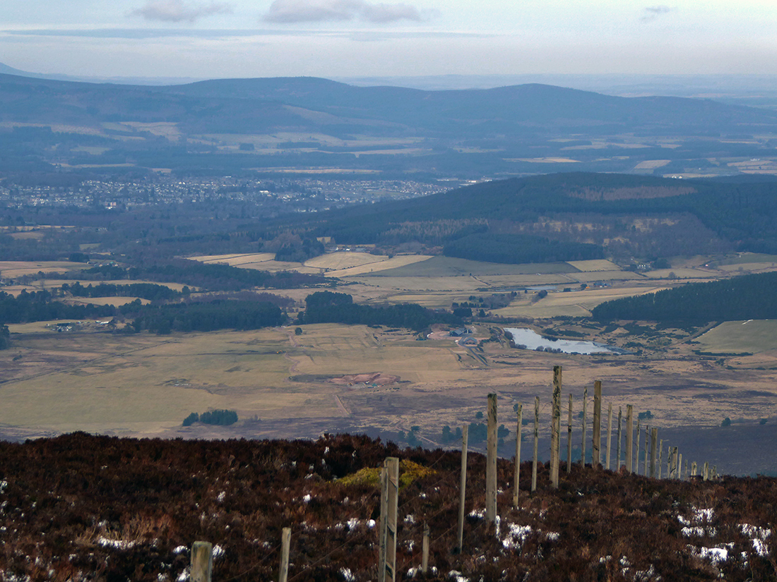
Looking north towards Banchory
North west, zoomed way in I think this is Morven
Bennachie poking through the haze

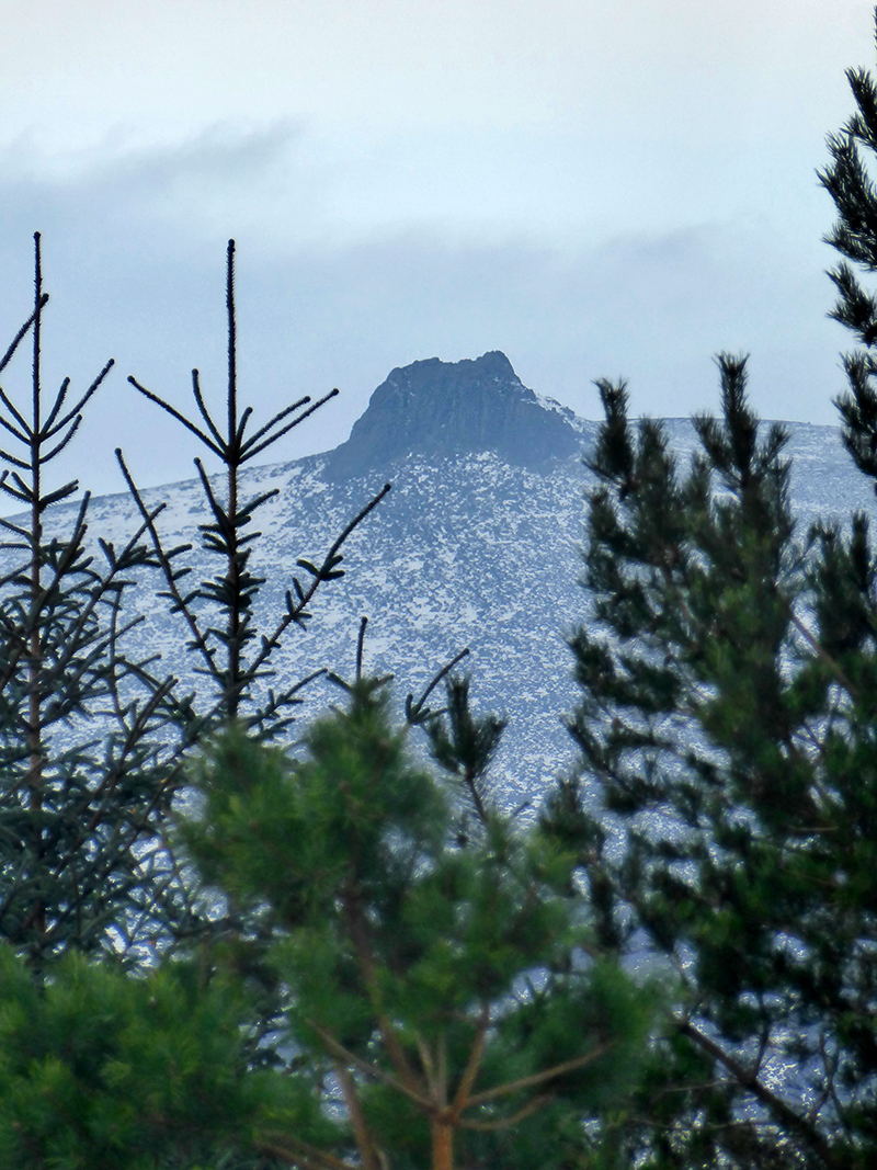
Mount shade before Clachnaben
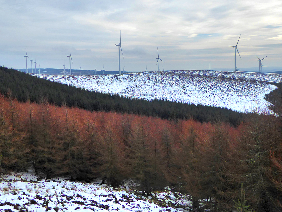
We have a count of all the turbines and agree on 33, which is correct. Constructed by the Norwegians back in 2012, each is 93m in diameter, 78.5m high. The farm could power 31,000 homes, and have run at 30-40% capacity. People love to hate on them, and for sure I wouldn’t want them intruding on truly wild landscapes, but here in the farming and countryside-industrial hinterlands, I guess they’re a necessary evil to try and reduce our carbon footprint and reliance on paying crap regimes for our fuel. Something that you don’t often hear about is the community funding they supply too – £1000 per megawatt each year, inflation linked, to cash strapped small community councils out in the sticks who’d otherwise get hee haw from the suits in Edinburgh
Further in the distance lies Tullo wind farm, which although lower down looks more prominent on a ridge as opposed to Mid Hill which is set more subtly below the surrounding peaks.
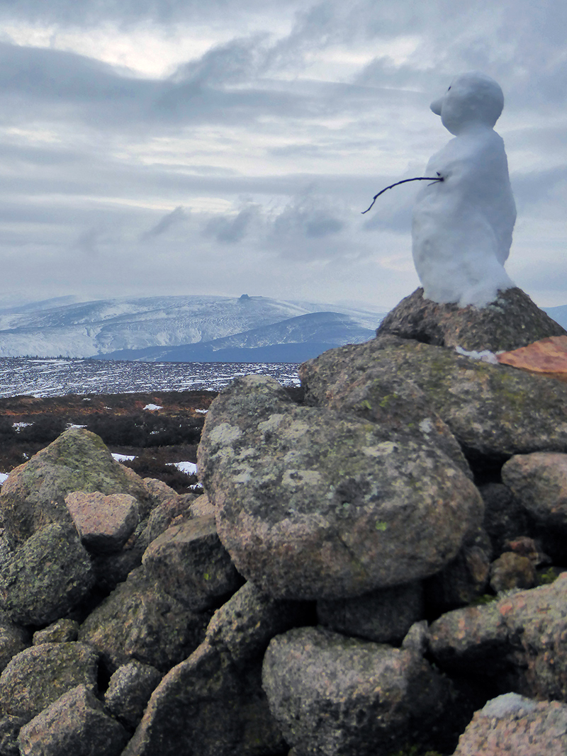
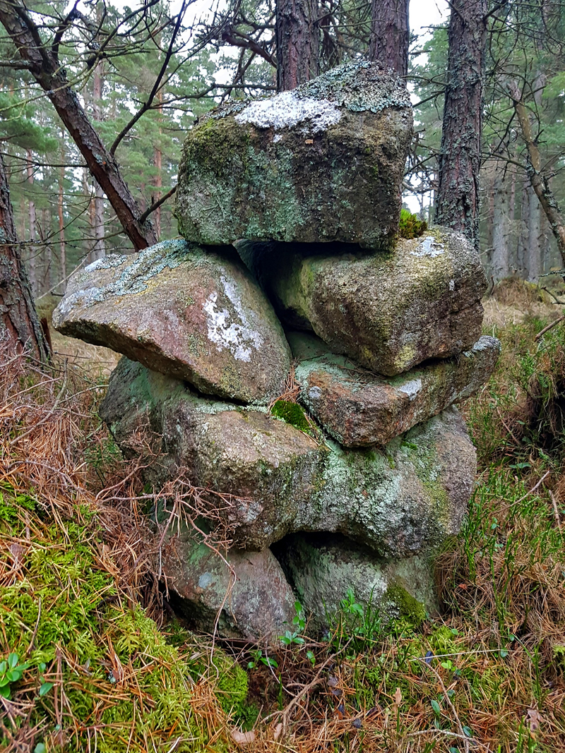
I introduce another white intrusion to the scene, there’s also a cairn beside the trig whose snow drift invites a quick build. A couple heather twigs and a pebble of granite complete the creation.

As ever, quite substantially more chilly on top, so not hanging about. Back down the same way.
You can see the lee effect of the trees and how it holds the snow
Properly deep in some of the side trails. I think it’d be fun up here on the fat bike
Back at the retwined gate
The next time I’m out this way on bike, I’ll head South at nine stanes, then over Kerloch and whizz gleefully down here
As we enter the woods I strike on ahead, I am planning on a detour and not sure if the others will continue on an ‘out and back’
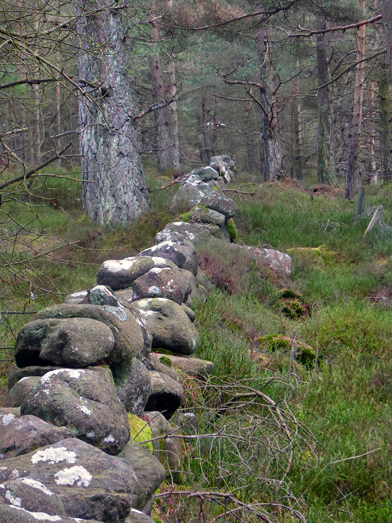
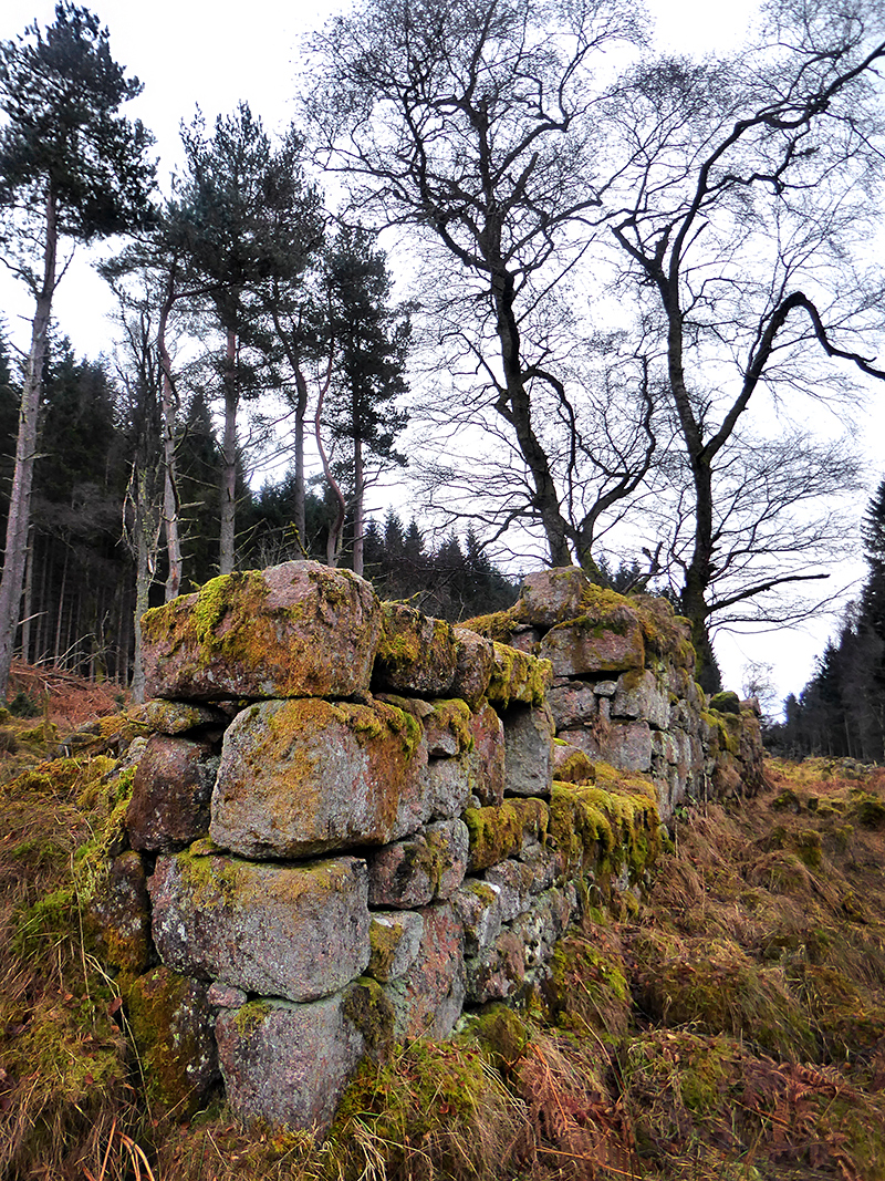
There’s an old wall at tippertorie (‘well of little hill’) and I follow it down to the water of dye at the bottom of the valley
Clumps of hard graft lie forgotten in moss
A path of sorts steepens
The burn is reached. There’s a bridge further on apparently wrongly marked on the map. On the 25k a path leads to the north bank
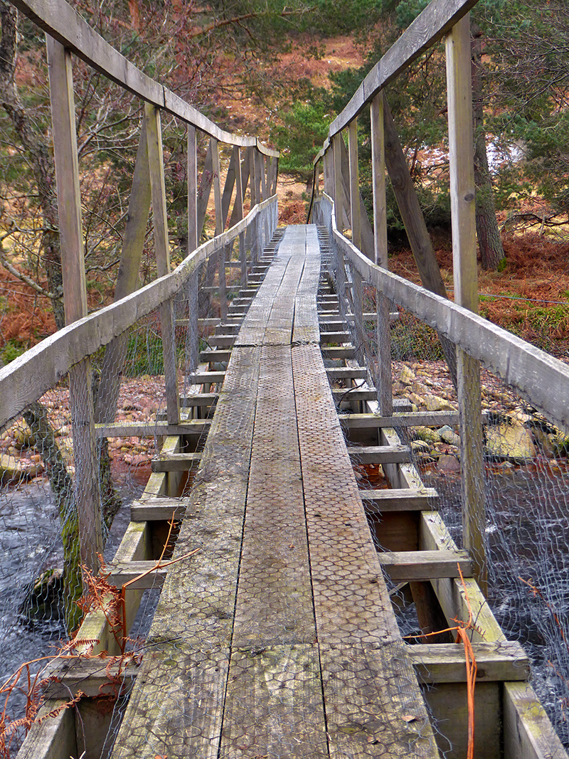
Sure enough there’s nothing on the map here, but this is definitely a bridge. Hmm this looks quite home made

A creaky shaky wobbly bodgery of rusty nails, wire and crooked planks. It’s probably cocked a snoot at a flood or two but will not survive a dozen; those planks have lived rich lives; perhaps as rabbit hutches, fences and tree houses; but will no doubt retire from their proudest moment as the bridge of Tippertorie, cheered aloft to the sea by the roaring mob of a spring flood, whence to rest in Davy Jones locker. I will salute as they pass through Aberdeen on the Dee.
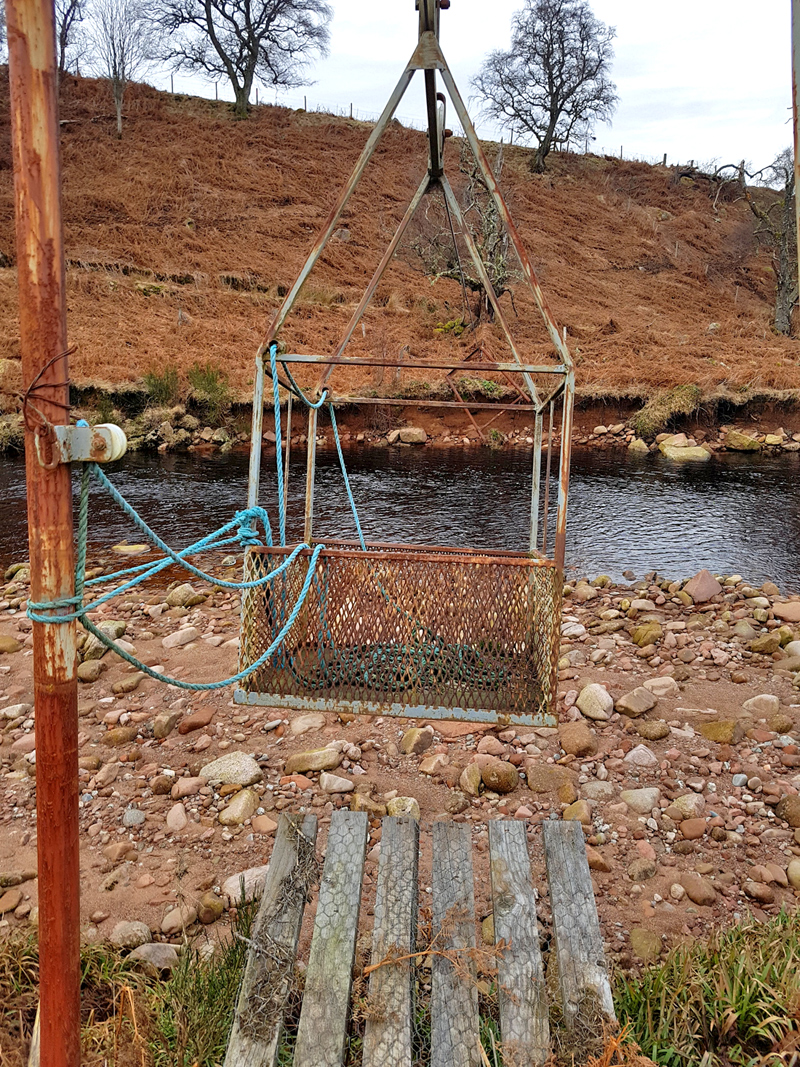
There must be some hidden urgency to the local need for communication across the stream here; yards away lies another arcane device, this one primarily a barren puzzle of fence wire, a distant ancestor of the suspension bridge

Perhaps for the transportation of beasts. Perhaps the farmer dreamt of feats of civil engineering and experimented far from the judging eyes of civilisation. The trestle on the other side is adrift and I doubt this would support a brave venturer, I can readily imagine the screech of straining metal, the inevitable whip crack and the freezing kersplash
50 yards hence, lies another trestle embedded in the bank, probably it’s original situation, and 50 yards more some matching girders lie swept inwards. A third crossing of iron has succumbed, at a guess not high enough up. The map indicates another 100 to the ‘actual’ bridge..

I guess it must be a torrent here at times. A graveyard of bridges
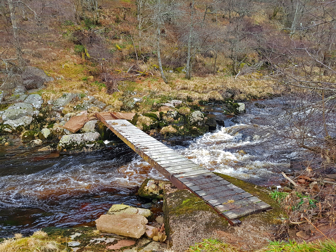
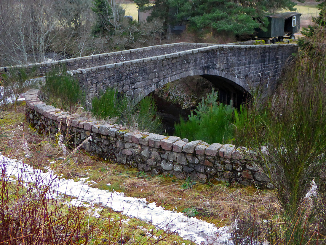
Aha here we have the official marked bridge. A simple thing across a narrow rocky throat. Two metal beams set into concrete and some planks, that will get flooded over but I guess having a low cross section will shrug the water resistance and odd log collision. Parts of the concrete have however been shed, so it too is decaying towards failure. I will make a point of coming back here in a few years to see what nature has wrought, whether new inventions have sprung afresh, or whether the battle has been surrendered and crossings will need to be taken a further mile or two travelled downstream at the road bridges

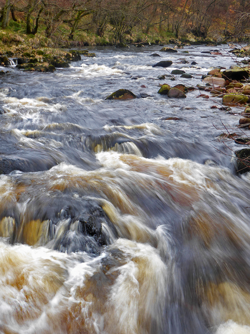
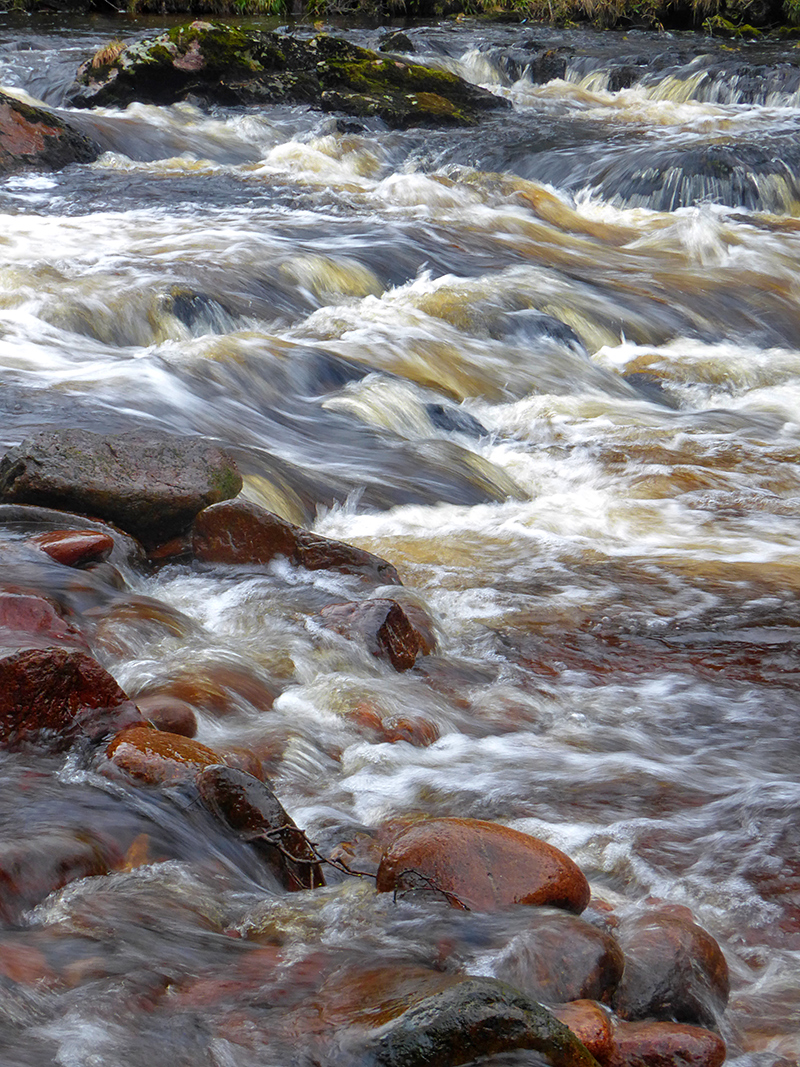
Handy for viewing the rapids
The path up from the bridge exits the woods to ruins. Broomhaugh that had been abandoned by 1867

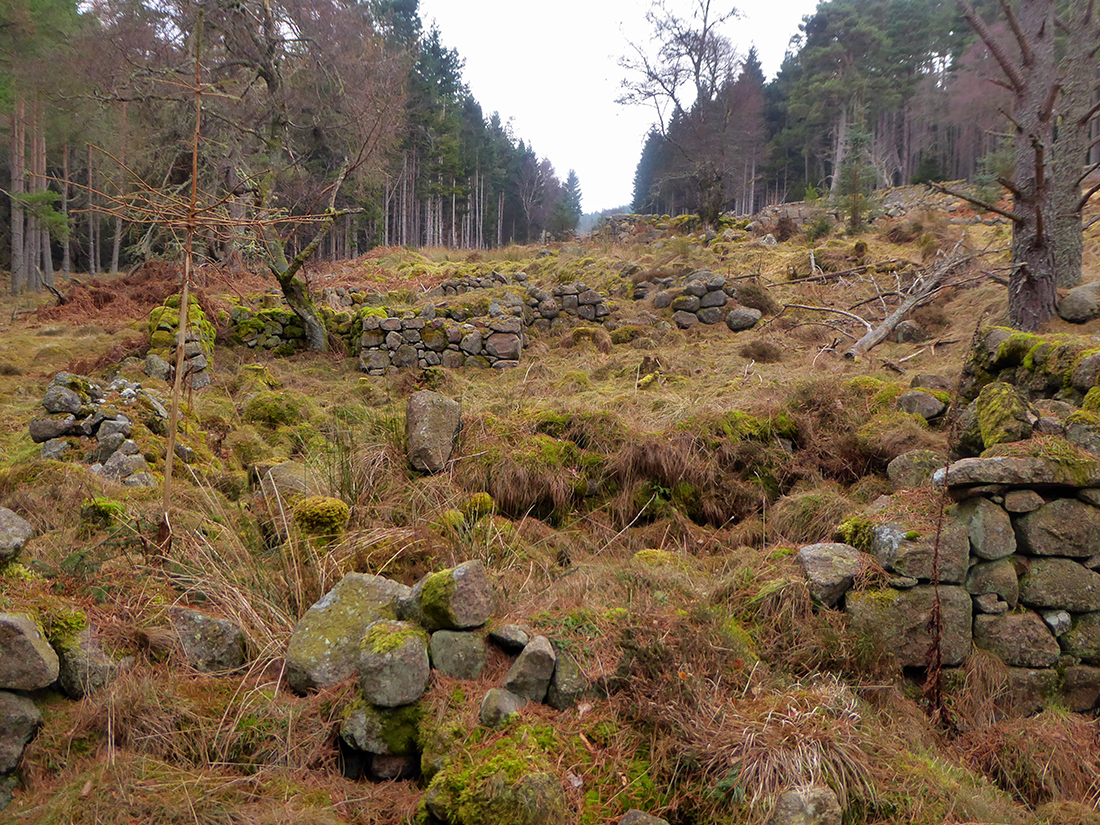
Looks like there were quite a few steadings here. A neat wall that looks later follows the treeline
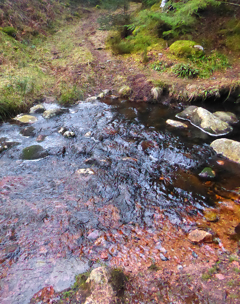
Bingly burn again and another ford
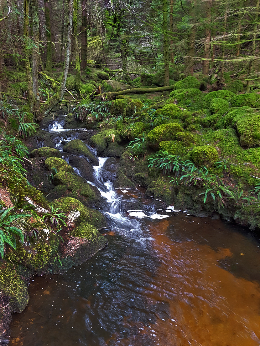
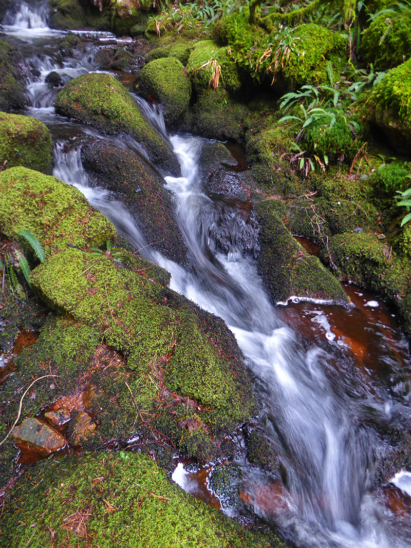
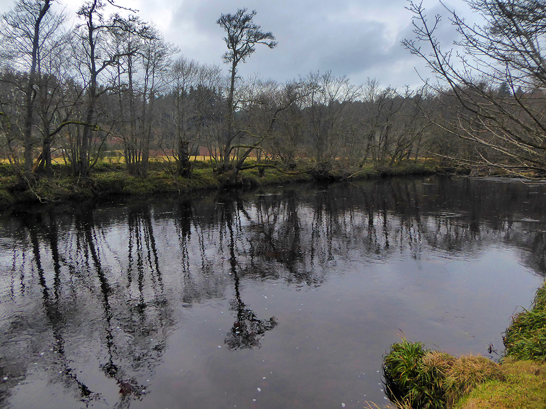
Looking upstream to where it disappears into the woods is a lushly mossed glade
I’d probably go for a nosey further into the woods but time is ticking; if the rest of the party have went back by the direct route I’m way behind with my bimbling
Tops off, thermoregulation time as I get a clumpy trail run on in hiking boots, following the river downstream.
Paths criss and cross, I keep along the river. There are more ruins; buried deeper and more overgrown.

Evidence of forestry machinery, the track is bludgeoned making this fork choice easy
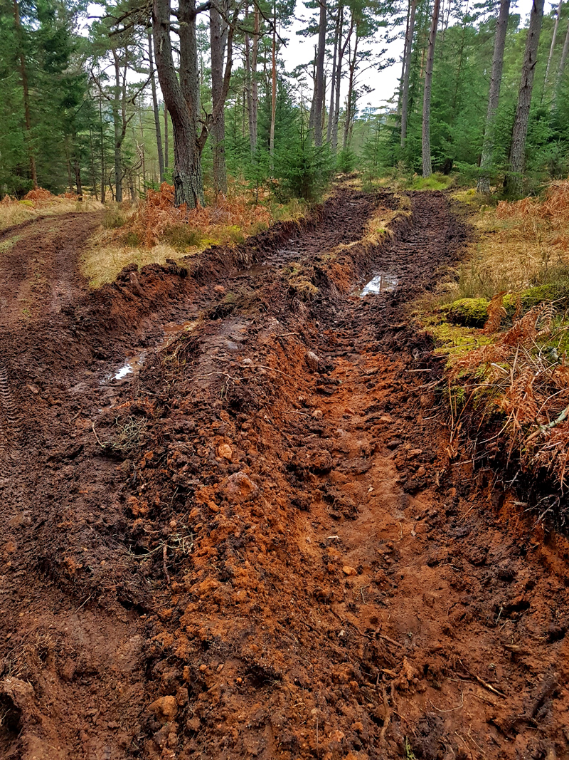
Beside the river a secondary swathe cut. There must be 3 or 4 separate tracks all heading in the same direction. How many tracks do they need? I guess they hate tree cover.
I read an article recently that struck a chord “Scotland’s climate of chaos” about how landed interests “who constantly proclaim to be the guardians of the countryside (and they are the only group of people in the country that thinks so), the evidence on the ground reveals an attitude towards nature that is one of thinly-veiled contempt at best“.
Yep, it’s all a bit carelessly savage, hacking brutally away without a moment’s thought on progressing from the victorian ways of brutalising nature. I wonder whether the reorganisation of Scottish forestry will be an aide to progress.
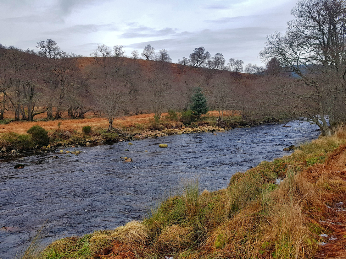
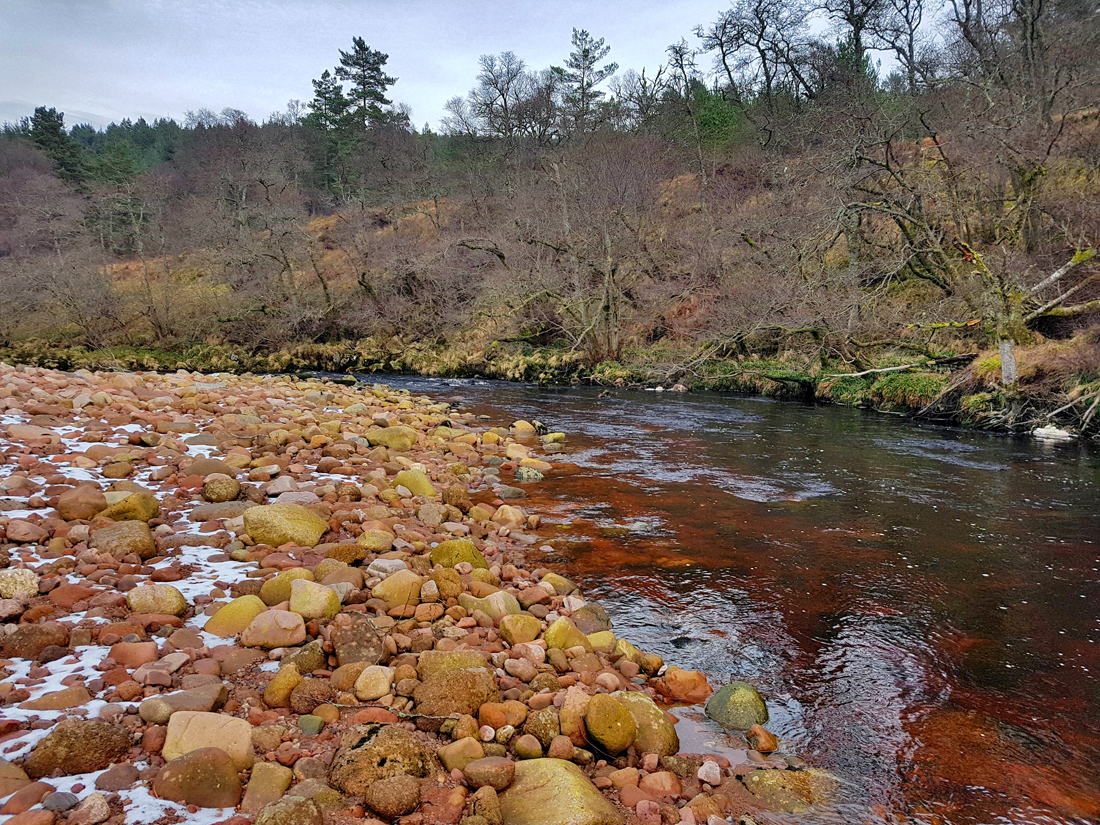
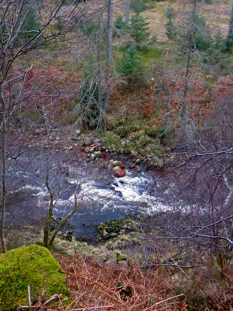
Away from the bludgeoned riverside, the water itself has some nice pools. A compact river with a nice variety of flow, wonder if it has good trout? Quite peaty water by the look of it.
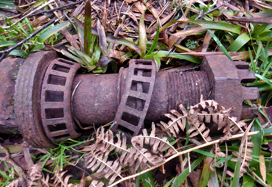
Rusty fence relic
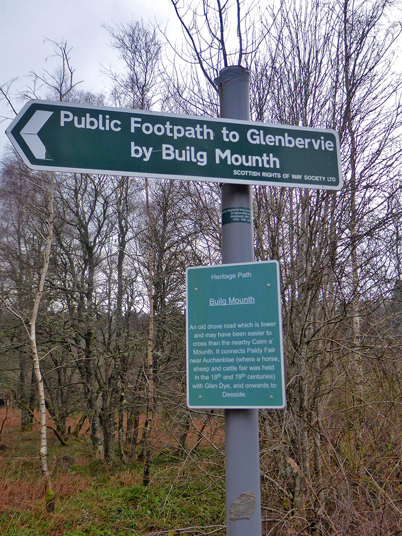
I make it back to the car park, no sign of anybody else. Time for a quick look at the sign
Just catch a glimpse of a fox romping across a field out of the corner of my eye

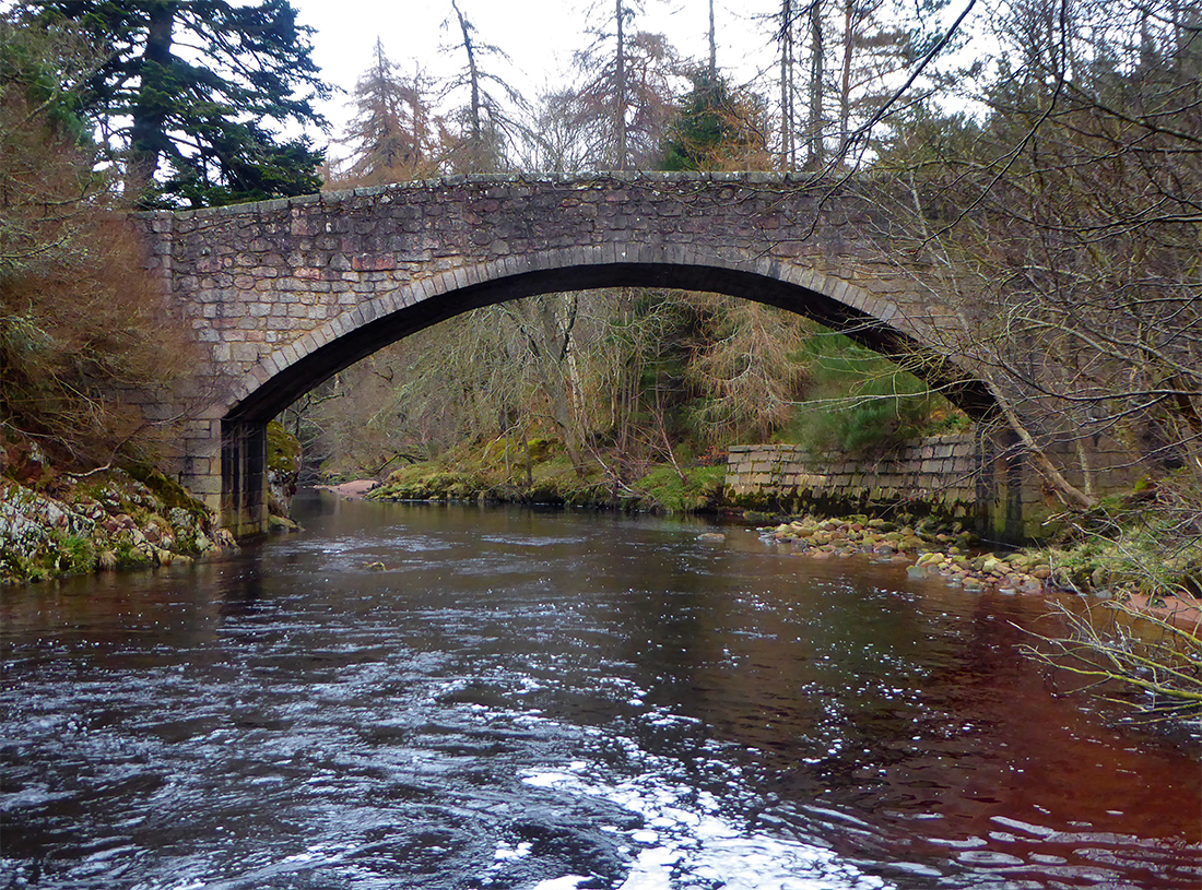
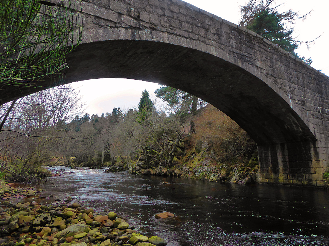
Across from the main road (with its modern concrete span) is this fine old structure, the bridge of bogendreip from the late 18th century, now closed to traffic
A teeter over some slippery rocks
And clinging to a mossy wall, get a view from the other side
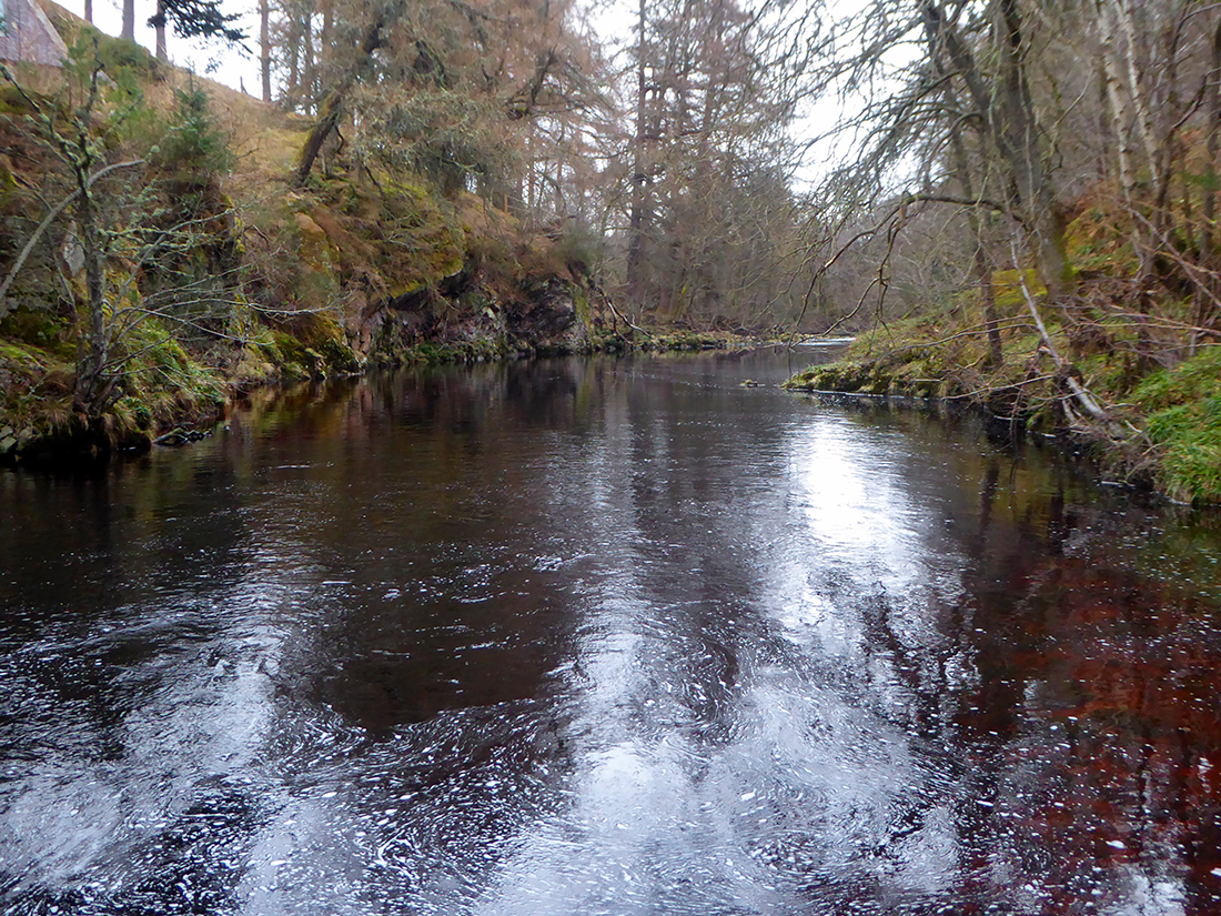
The pool downstream
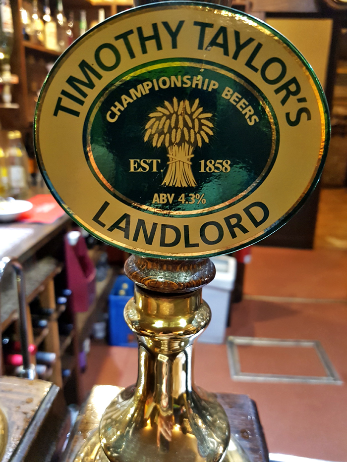
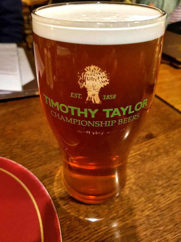
I head back to the van and the others arrive, walk complete. We head to the The Lairhillock Inn, Netherley for refreshments. It’s slightly off the beaten track but worth it, a cosy place with a nice central fireplace, and everyone’s food is great; possibly one of the finest lasagnes I’ve ever had, with pork, venison and beef, rich and delicious. A couple of guest ales on tap; all told highly recommended.