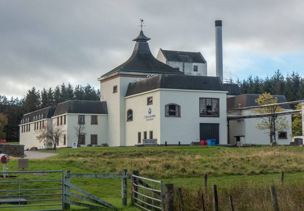
Today’s trip with Aberdeen Hill walkers was to a new place: The Ladder Hills between Glenlivet and Strathdon. The bus swooped through Speyside on a glrious autumn morning, gradually on to windier and narrower roads, before disembarking beside the Braeval whisky distillery, which at 350m is the highest distillery in Scotland, and is also notable in that it was modernised in recent times to such an extent that it can be operated by one person.
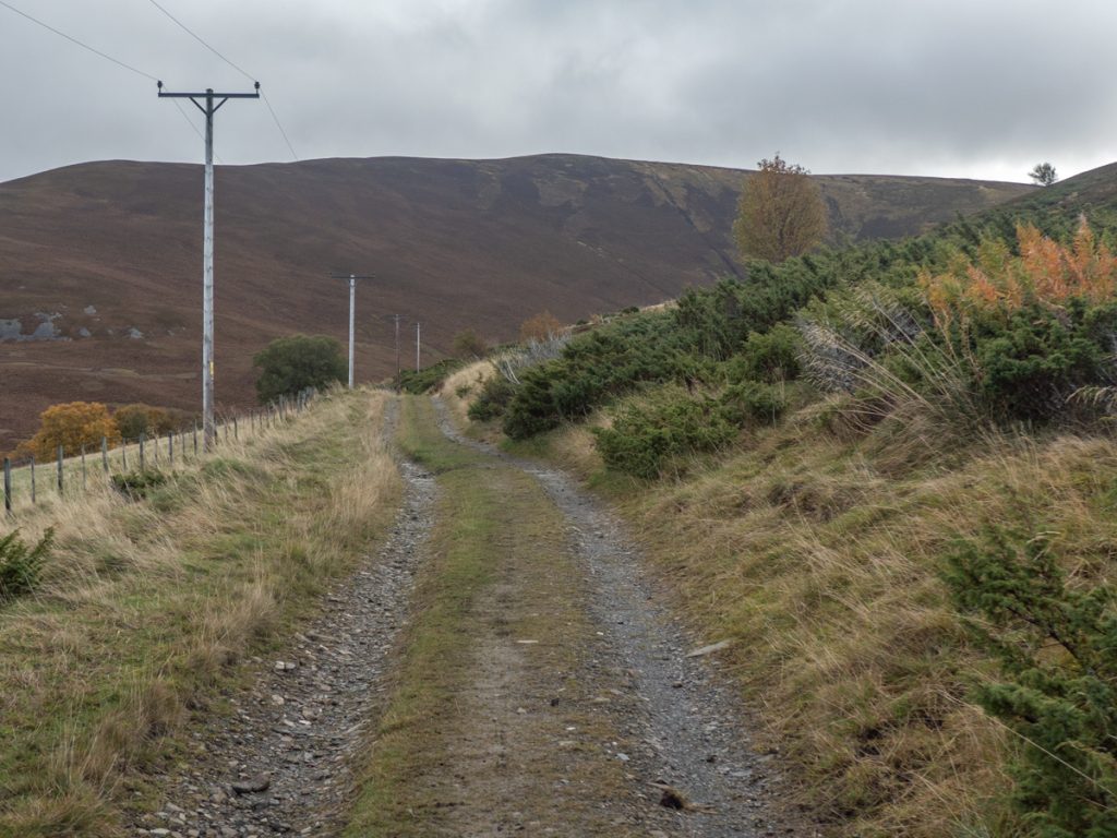
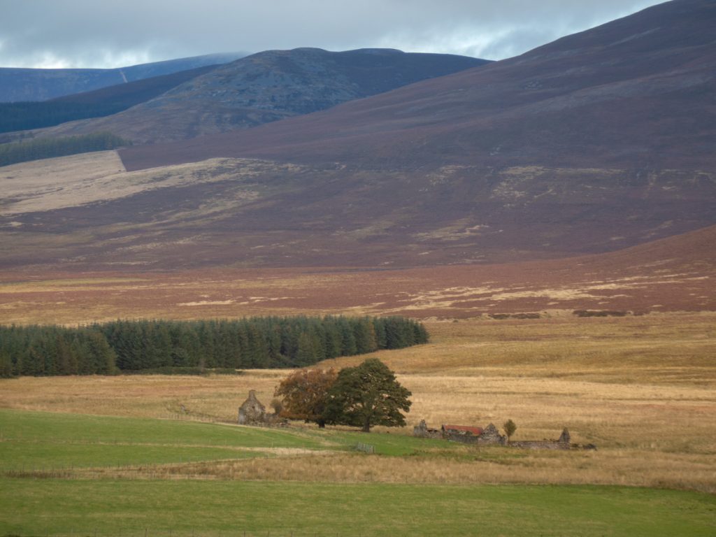
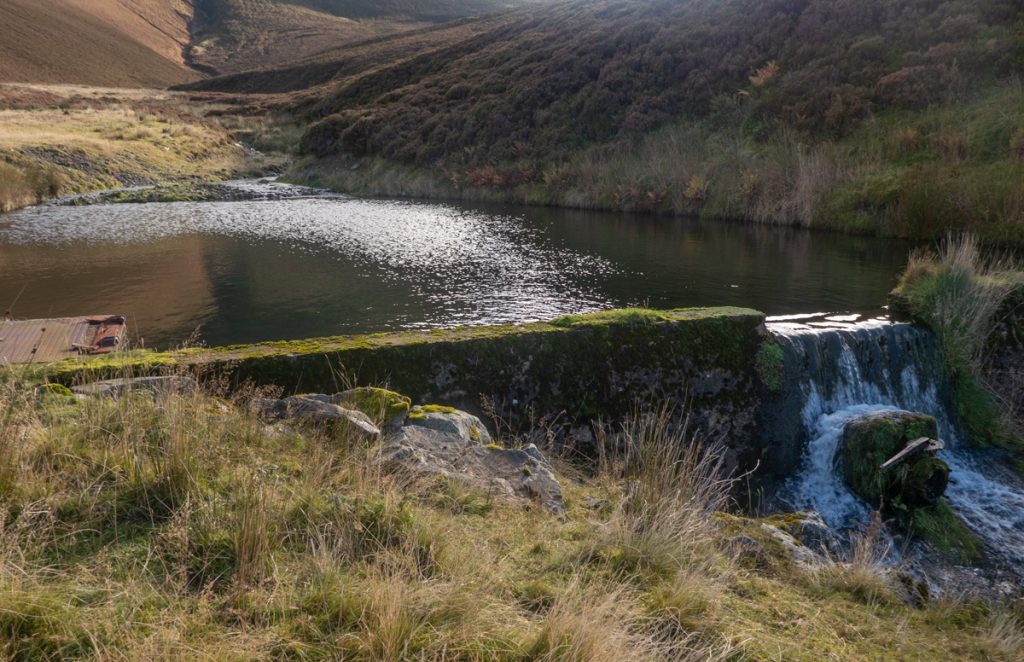
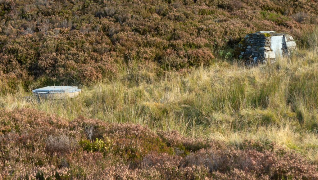
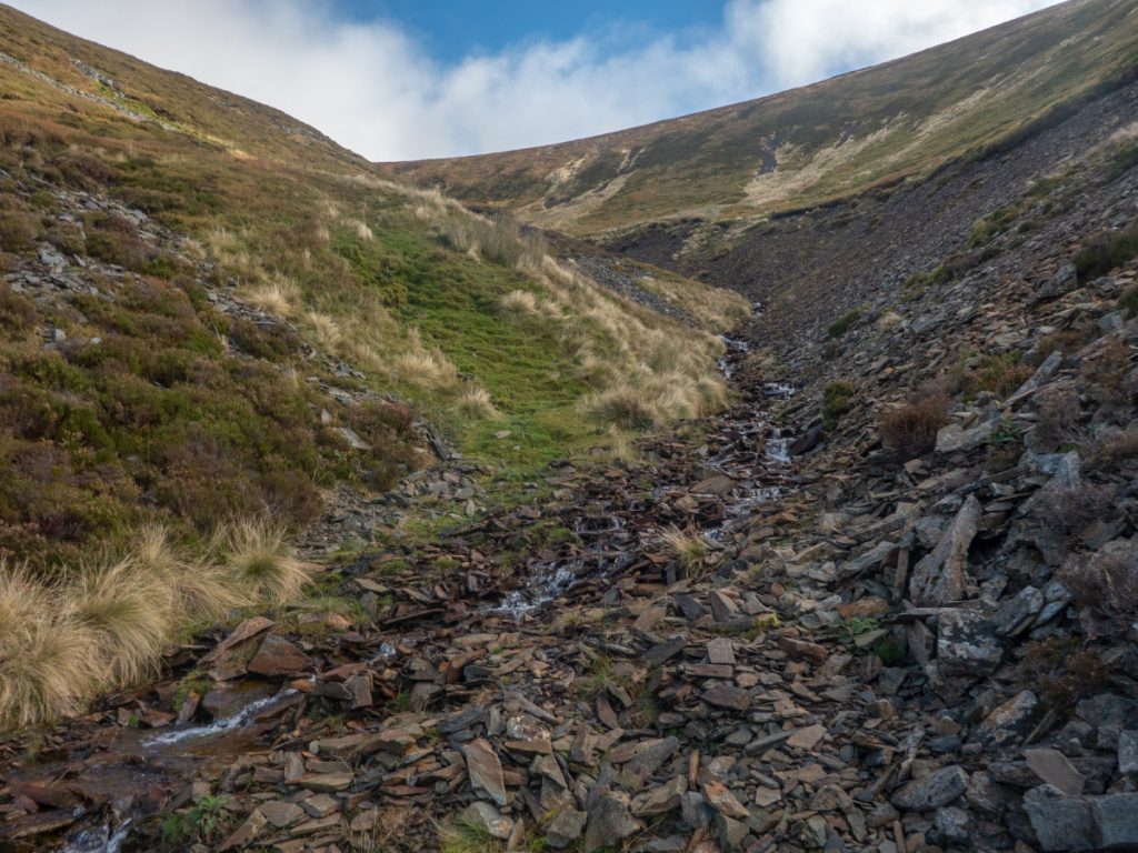
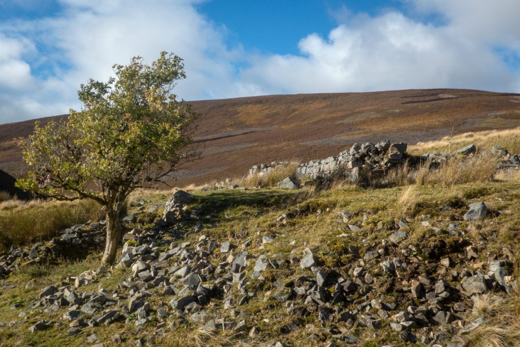
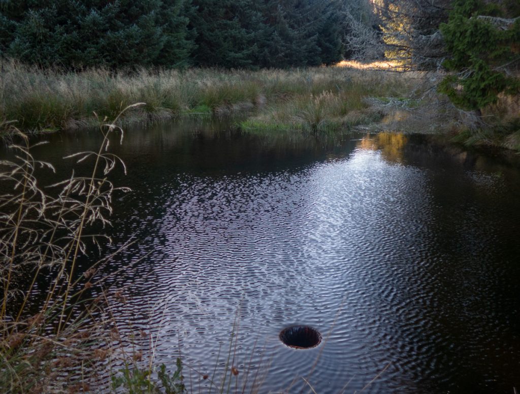
The trail initially rolls through farmland, and there are some remote abodes here with a scattering of old ruined ones. Once over the Ladderfoot ford, the trail shrinks to a narrow path following a burn, there are various pieces of water machinery and structures, I thought possibly related to whisky but the burn is a different catchment to the nearby distillery.
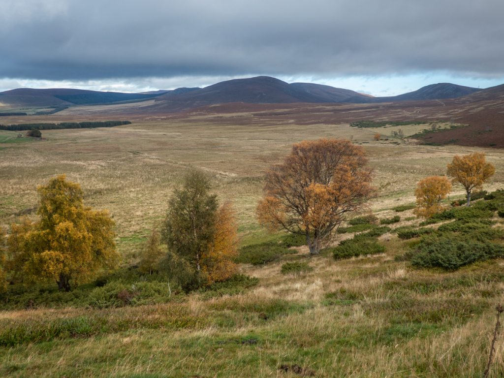
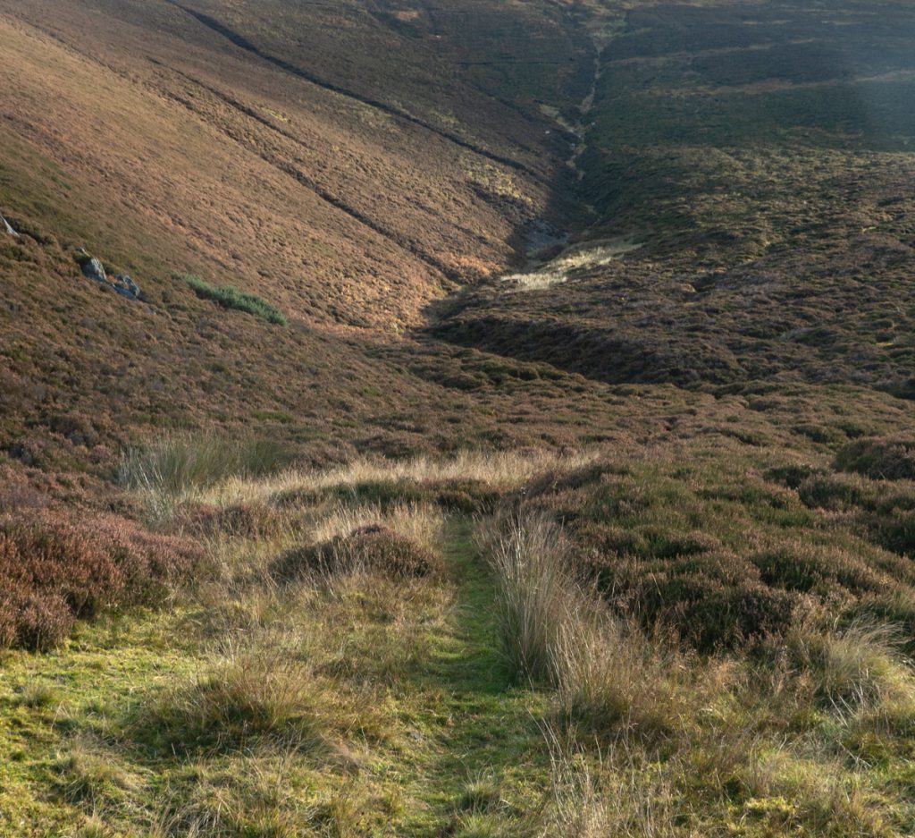
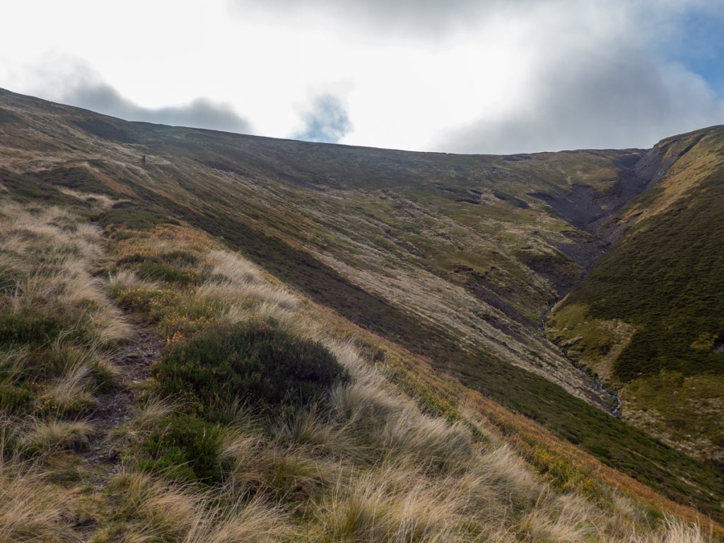
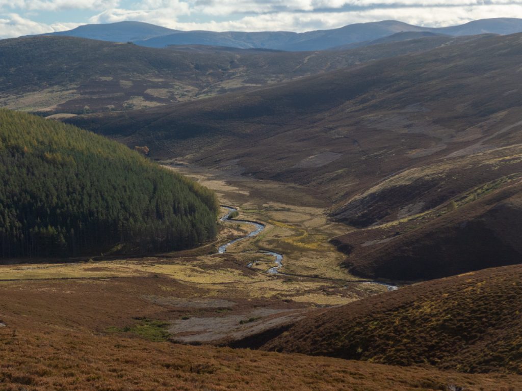
The path hugs the edge of the hill, gradually steepening and becoming grassy and thin. This then must be the ‘ladder’, up to a notch of sorts through a plateau to the north, with a long rounded ridge of hills to the west and south heading through to the Lecht.
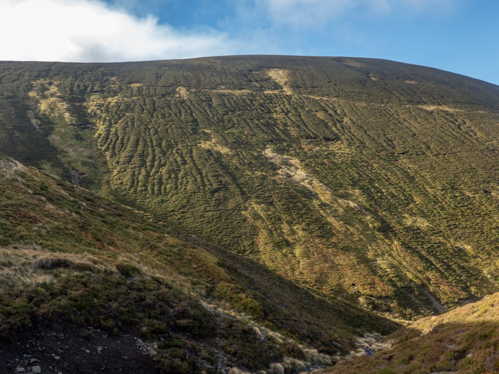
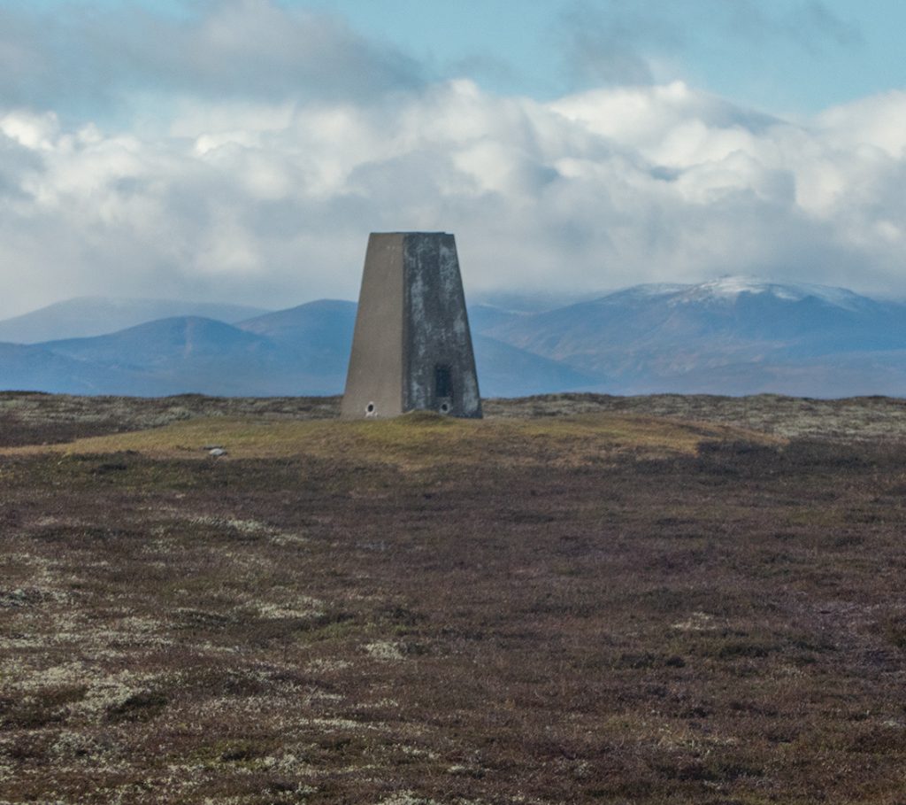
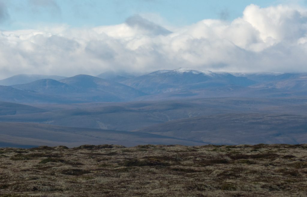
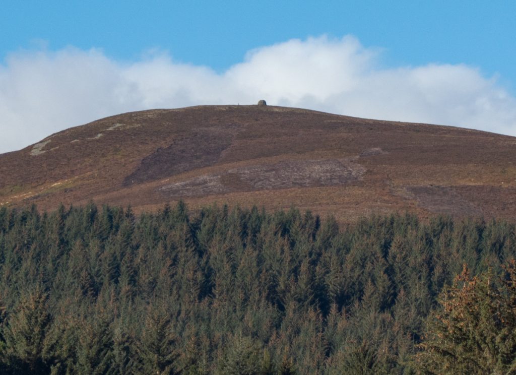
One of these I’d been told was a corbett, and although I have no interest in ‘list ticking’ having pulled away from the ‘main pack’ of walkers, thought it worth investing time and an extra 4km of distance to see what could be seen from it’s 804m – the first snow showers of winter had arrived on the tops of the munros further west.
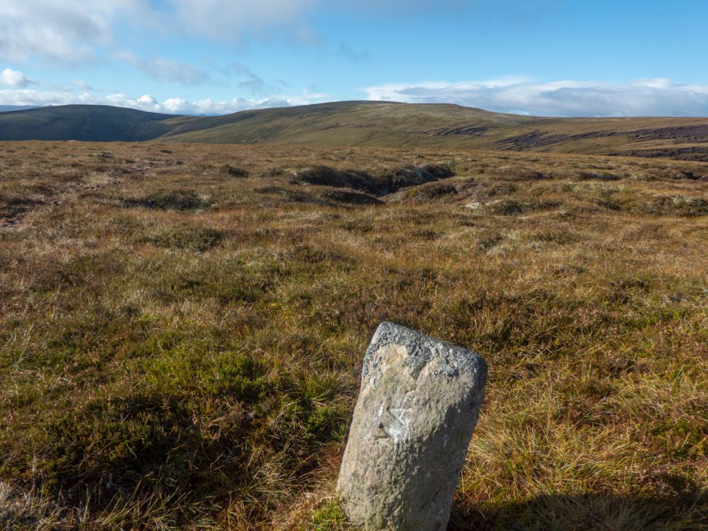
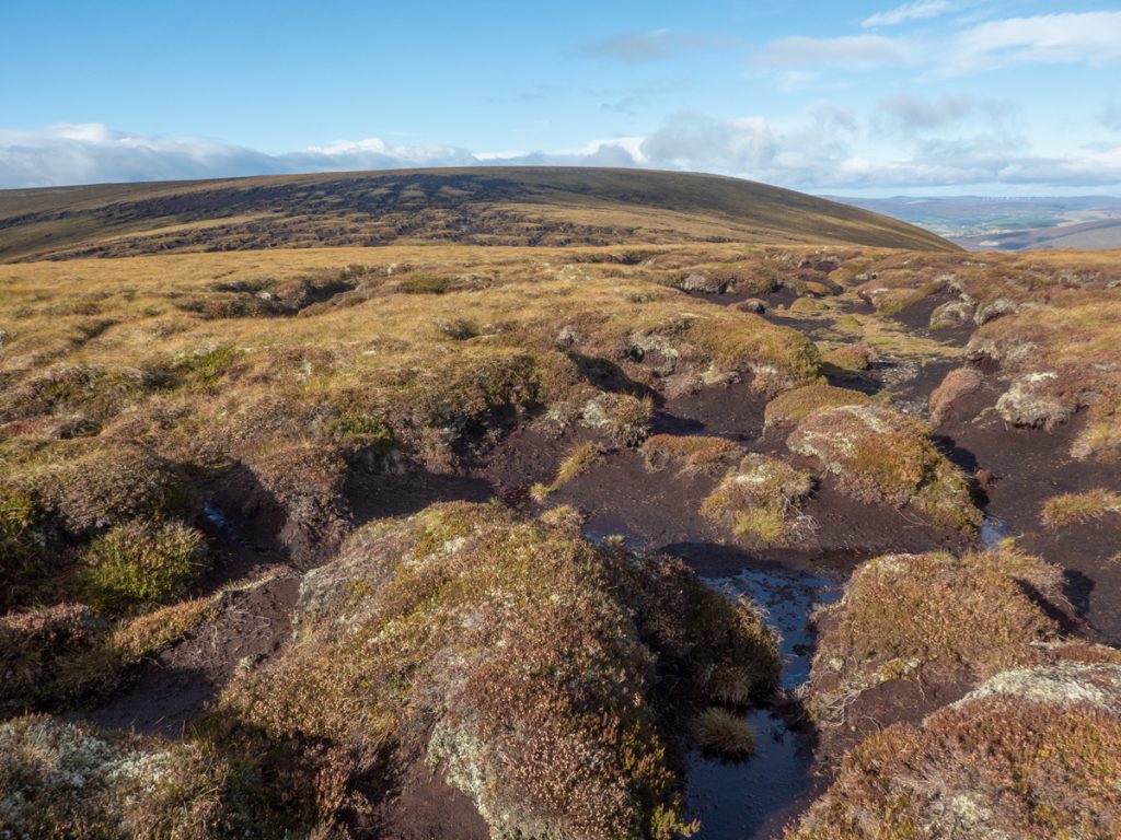
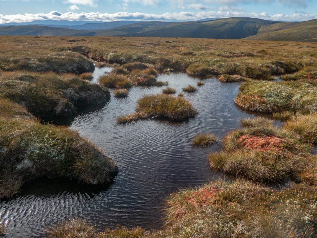
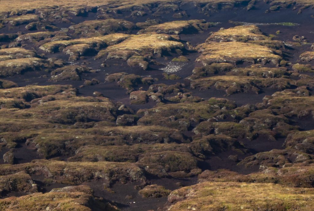
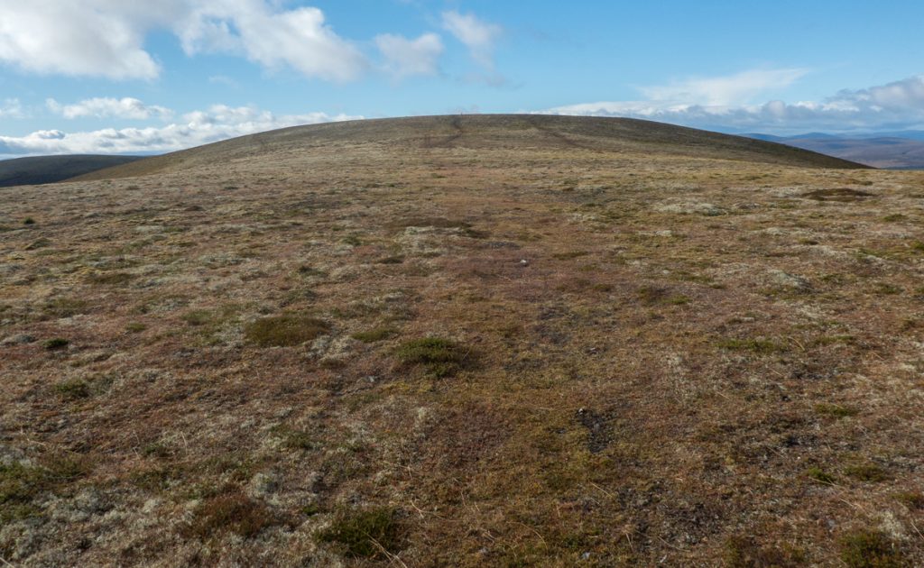
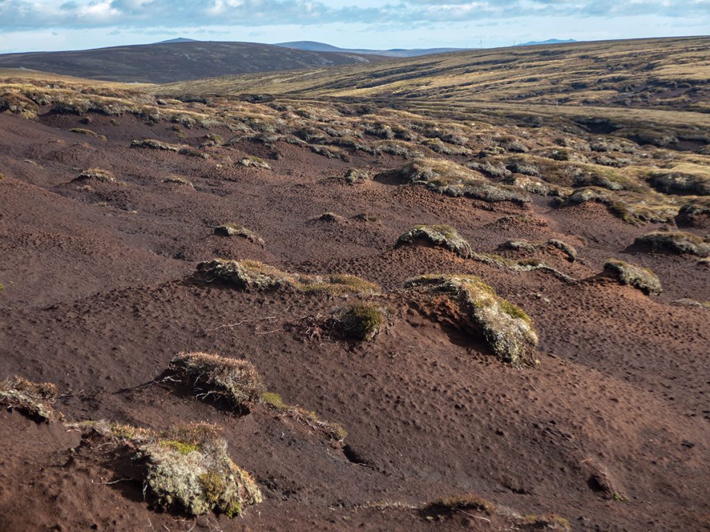
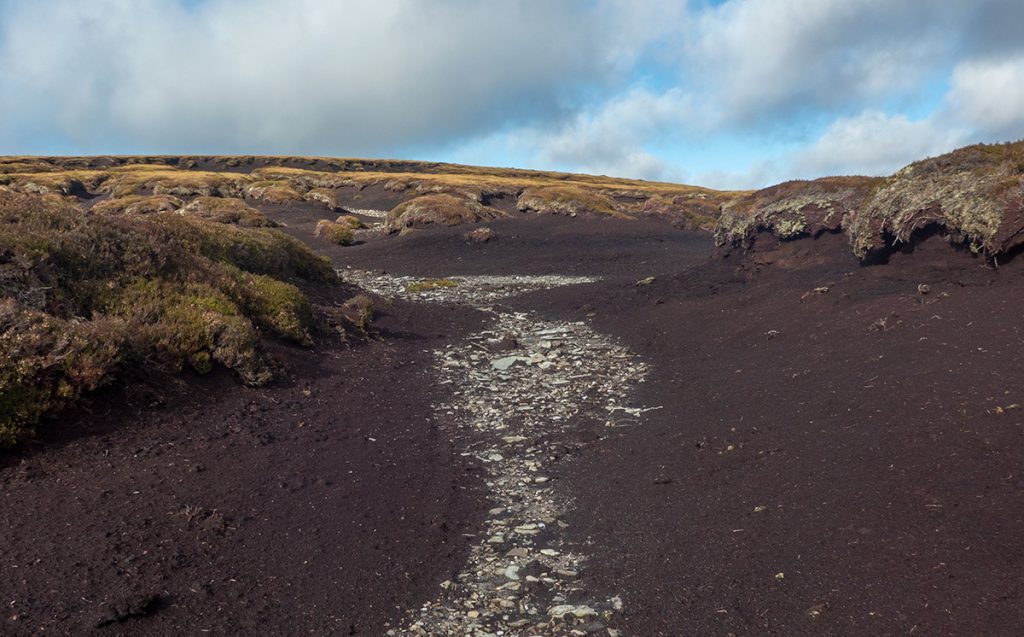
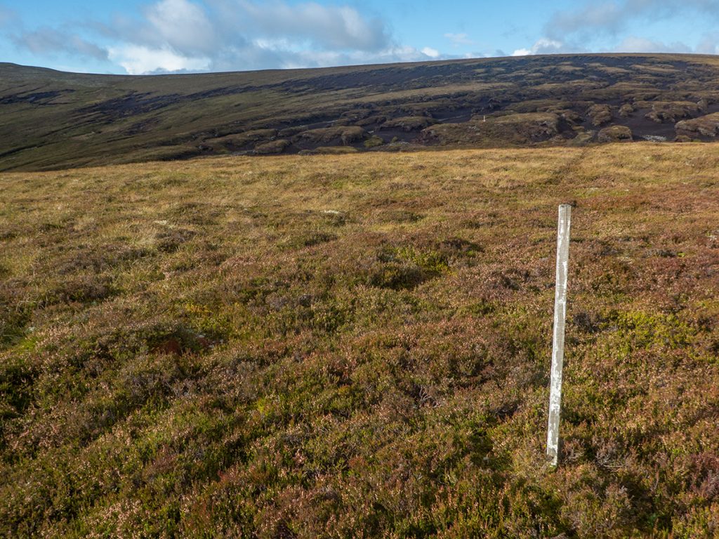
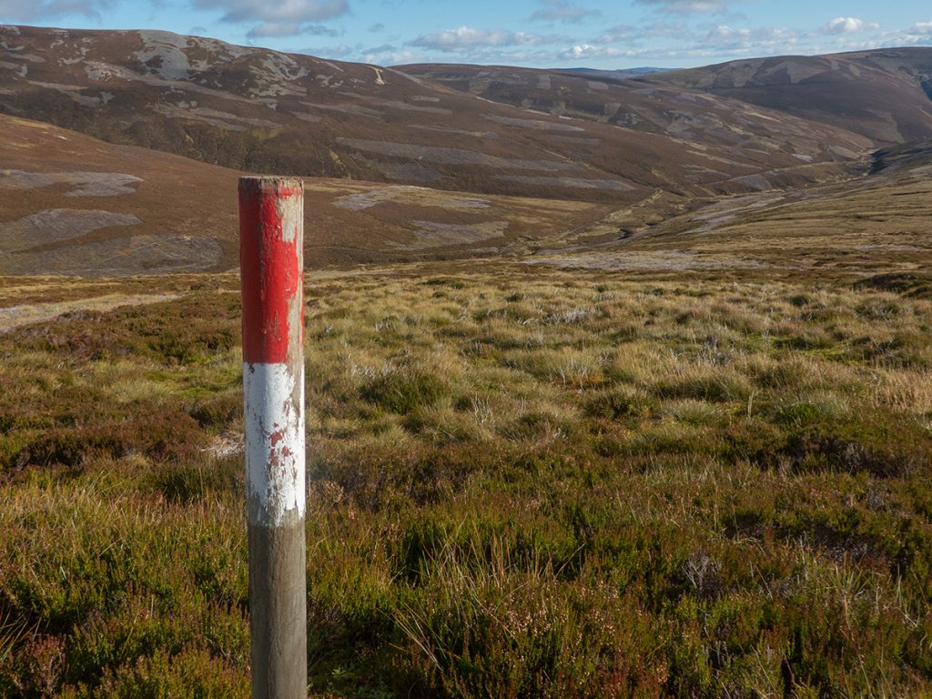
A bit of a path fizzled out, I could see a white pole or two and a boundary marker, but no obvious easy way through an unexpected field of hags; up and down, in and out, then on to the shorn flat curves of Carn Mor and a biting cold wind.
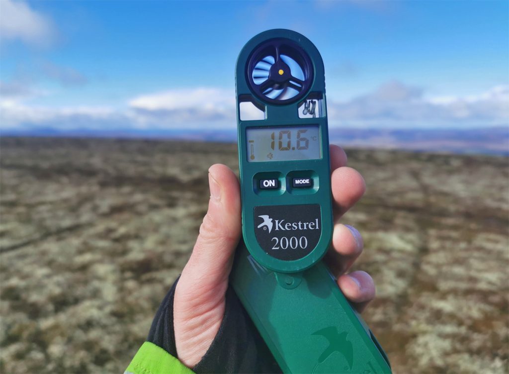
From the trig point I could see towards the south west some distant higher peaks with a dusting of snow: no doubt extremely cold places as a quick look on the wind gauge even here at 804 displayed a windchill down to -10.
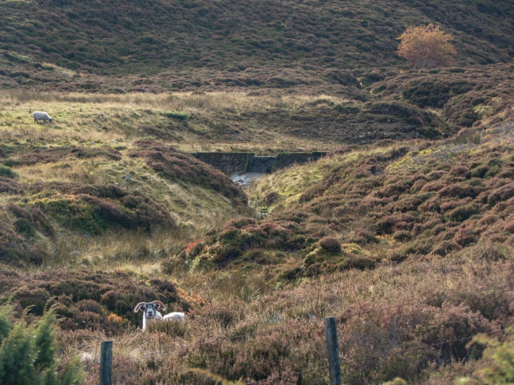
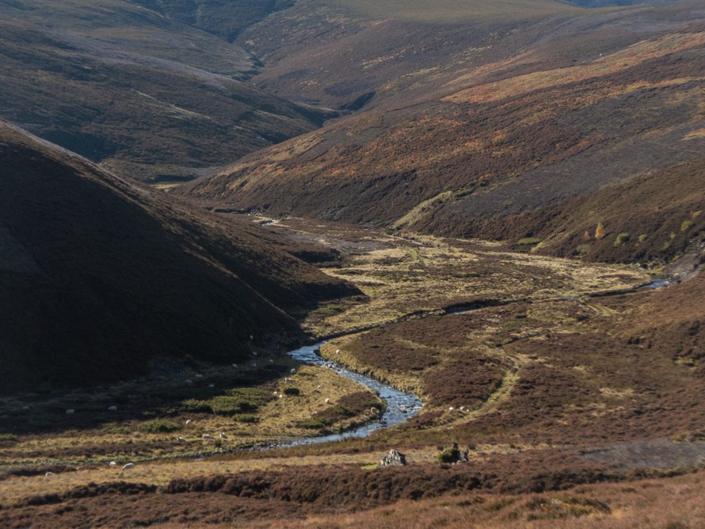
I didn’t hang about, lunch to be taken somewhere lower and warmer, the traverse back through the hags welcome to duck out of the wind. From Dun Muir I headed for the path across rough heather, the occasional post giving false hope until I found the end of a landrover track, where hidden from the wind in an embankment were the main group of today’s walkers who had overtaken me, not having detoured.
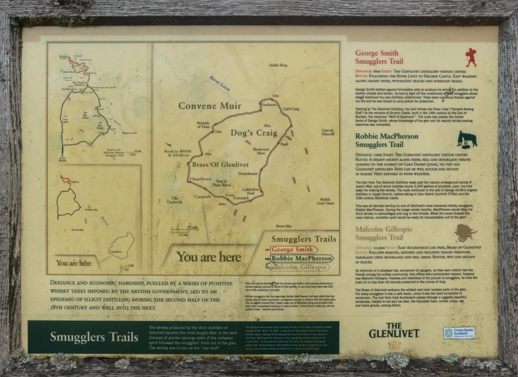
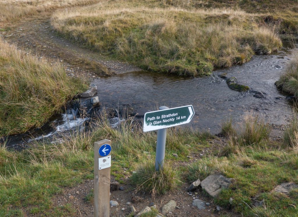
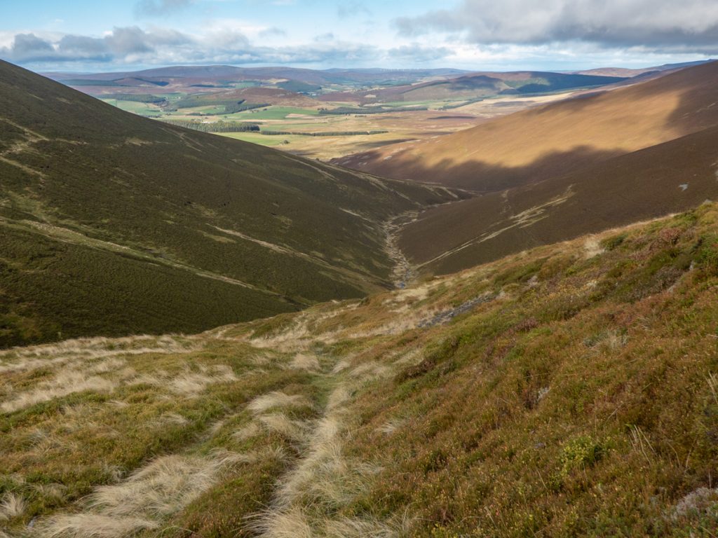
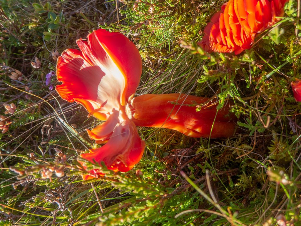
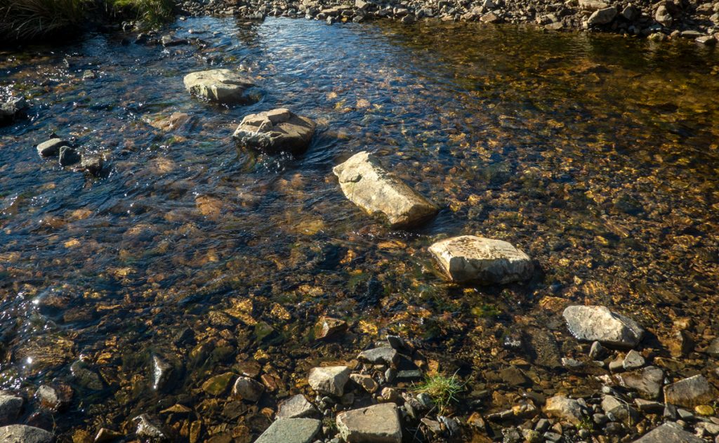
Over Finlate Hill and past Moineisach burn I spurned an exploration of old still sites buried deeper in the gully below, having burned through some excess time going to Carn Mor. The day’s route is indeed an old whisky smuggling one. The footbridge at the oddly-named Duffdefiance had collapsed but stepping stones saw us across the Littleglen burn with dry feet.
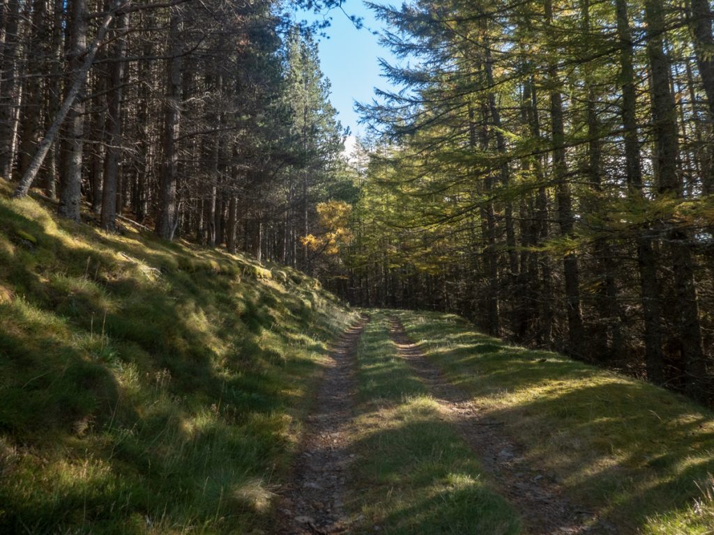
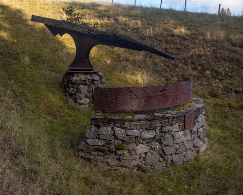
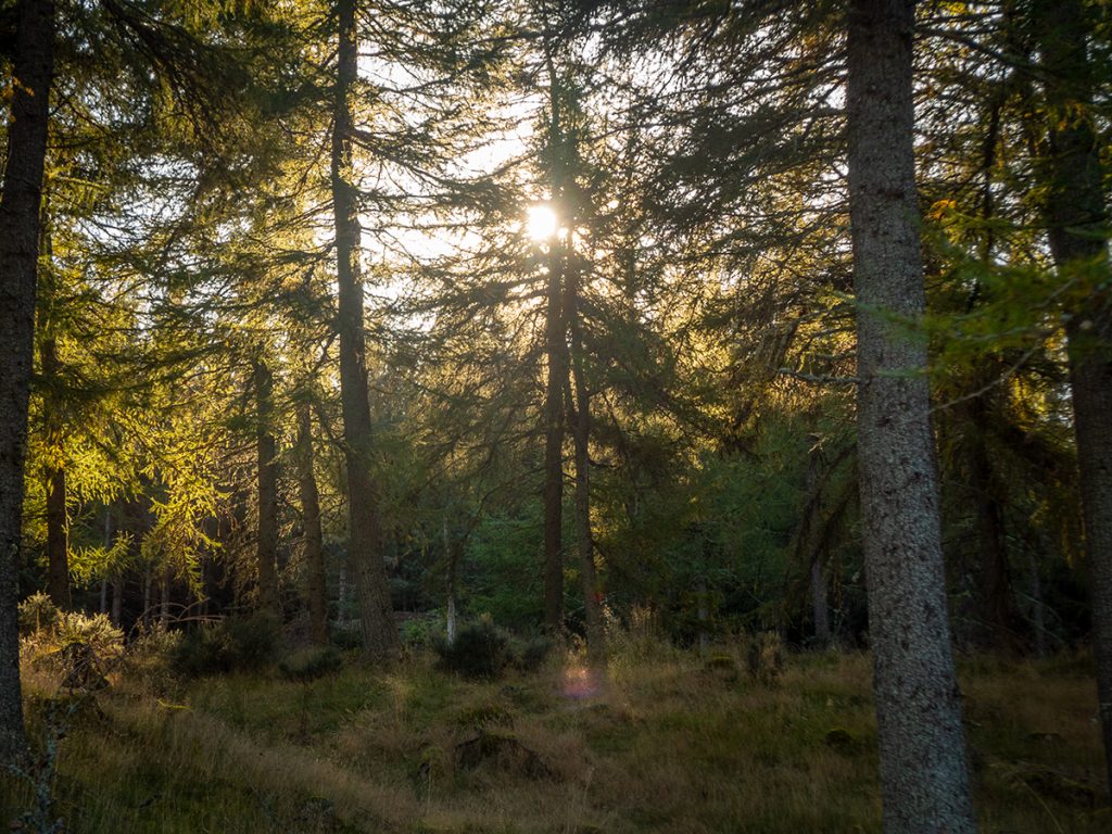
A section of blissful wooded cover followed, until the reappearance of civilisation heralded both by a good road surface underfoot, but also the unexpected appearance of art: first one trackside sculpture, then a whole plethora of unusual shapes: a gallery was found but also lost.
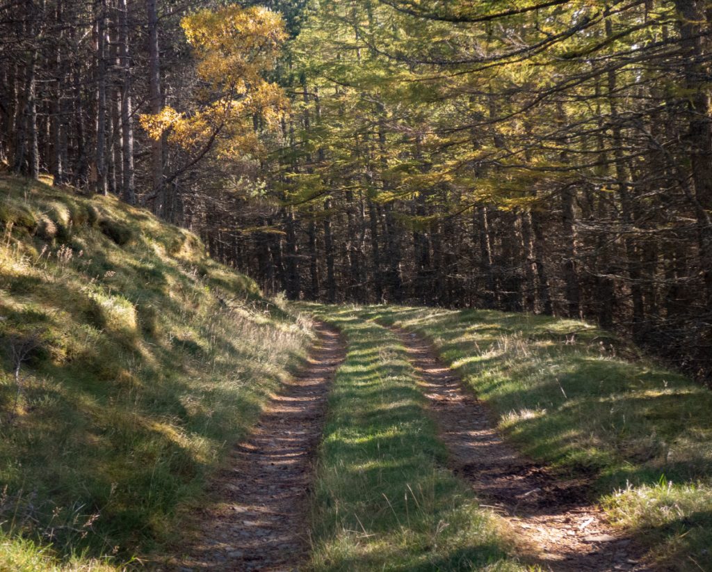

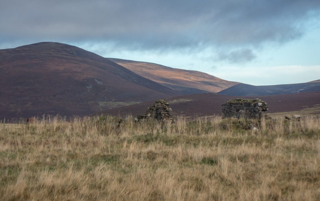
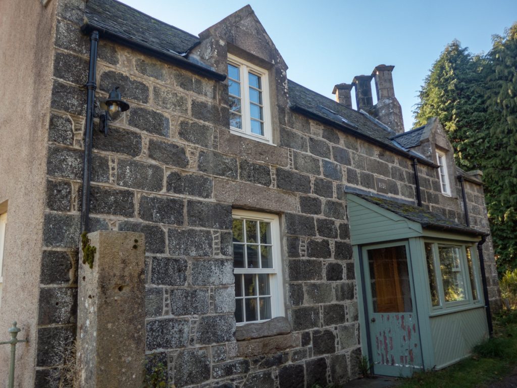
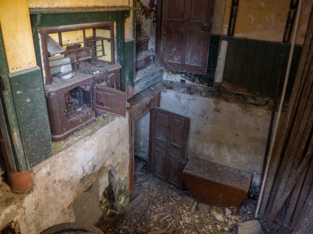
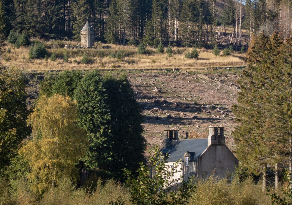
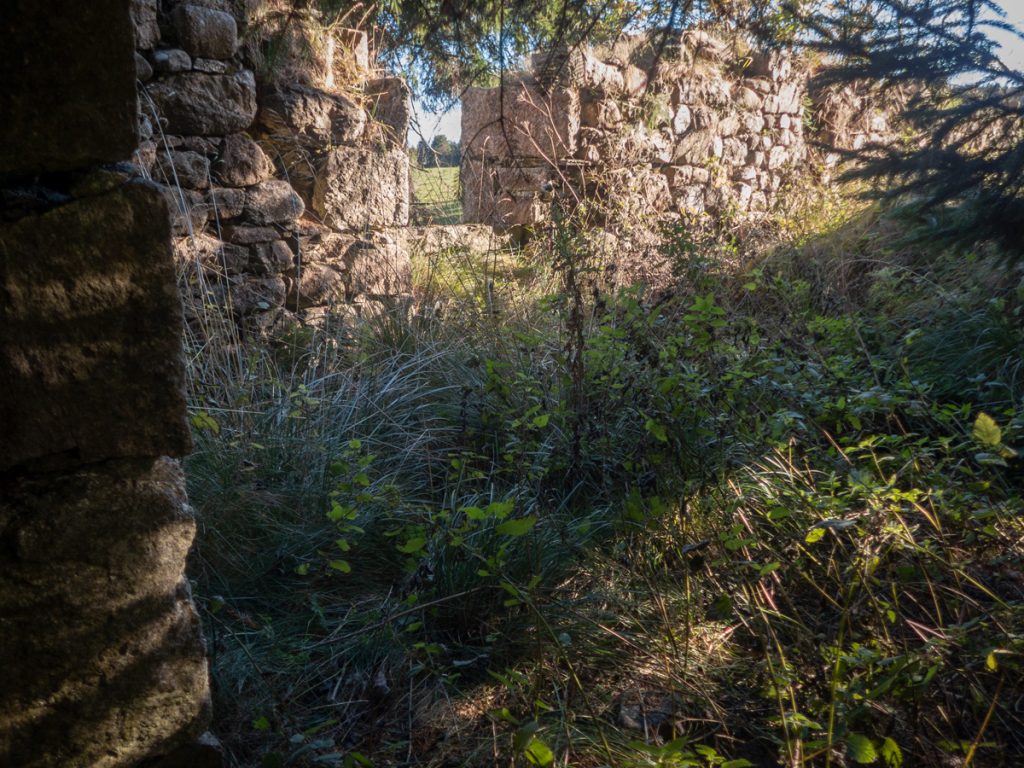
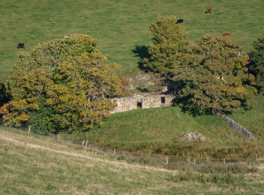
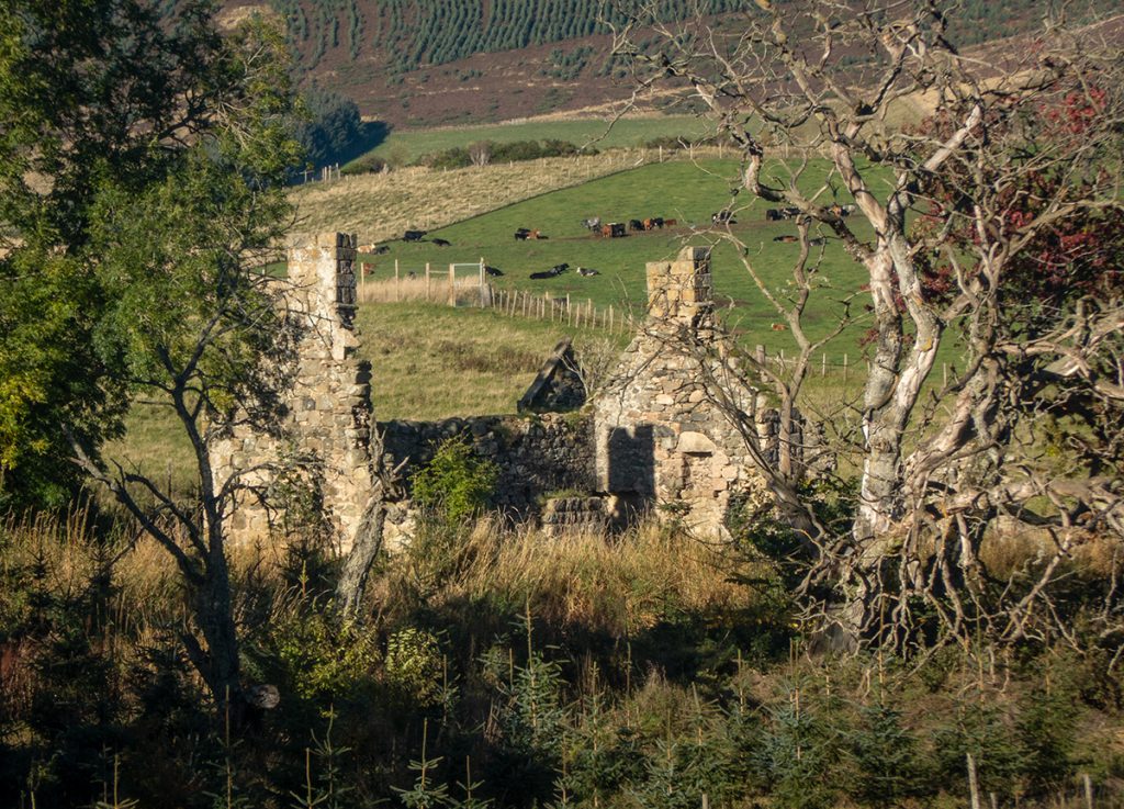
After the cottage and bridge of Auchernach woodland was once more entered, edged by farmland and many a ruined dwelling: Corriebrack, Belnabodach , Howe.
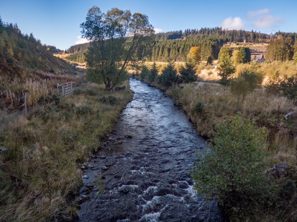
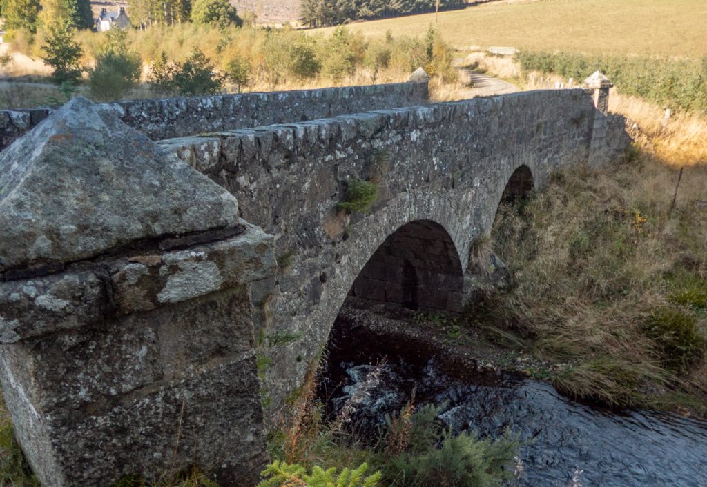
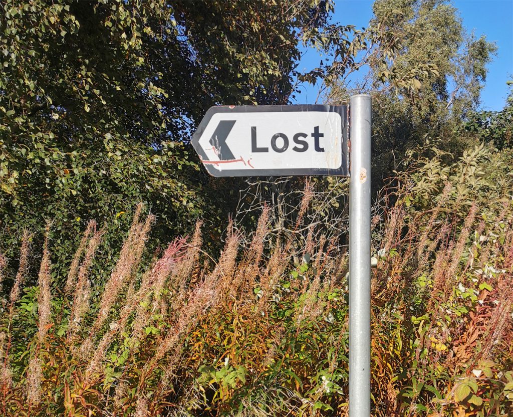
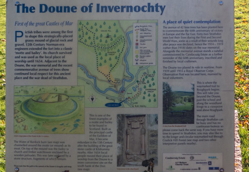
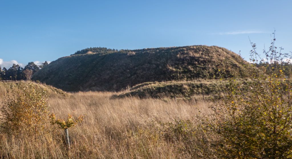
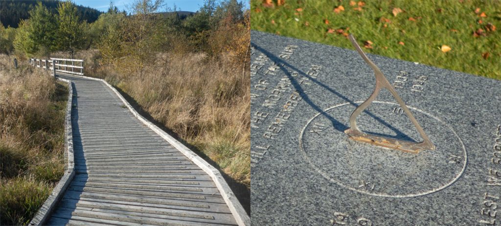
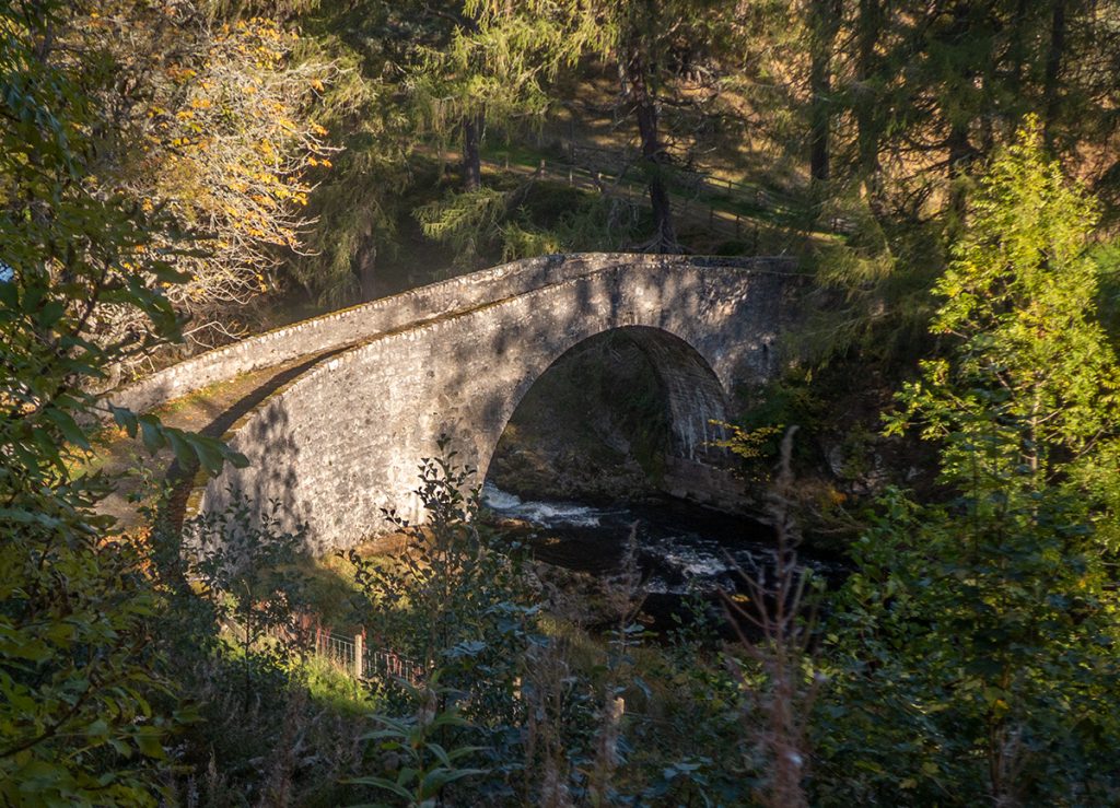
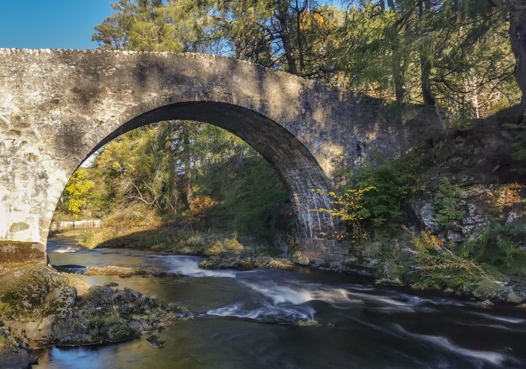
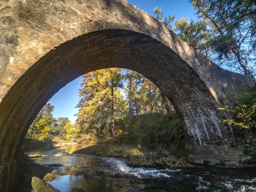
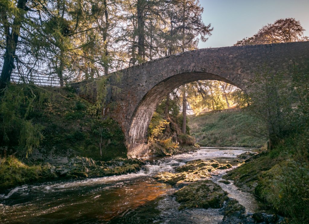
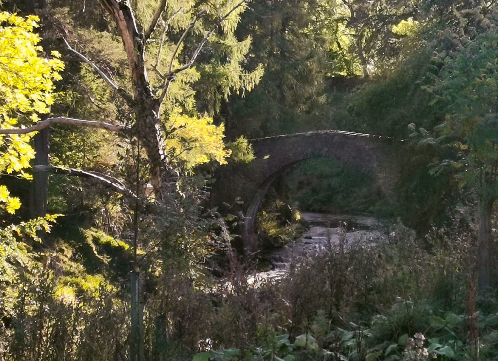
Reaching the official walk end point at Lost, and with 40 minutes to spare before the bus left, I head onwards to fave scenic bridge: Poldullie. There’s a lovely path around the Doune of Invernochty, a raised site of an old fort, that winds around it and through woods. At the bridge, light was good and descending to a position to snap: click “your card is full” grrr, and unwilling to delete any of the day’s photos, forged onwards with the phone, which struggled with the heavy contrast of the scene.
I rushed back along the road, in time to meet the others to head onward to the Haughton Arms in Alford for a pint before home.