In winter, with regards to hillwalking, a fairly sensible adage is to take enough kit to cover any eventuality; many warm layers, extra food, crampons, ice axe. This ethos can be taken to extremes though, with folk being chided for not fully kitting-up for fairly benign walks. Many keyboard warriors would have folk burdened under rucksacks worthy of an Everest expedition, even for what are straightforward and relatively low-risk strolls.
The winter mountain runner however, has to balance weight against mobility; we can’t take the kitchen sink. There is always going to be an element of risk in not covering any eventuality, but that’s OK as long as it is considered, and managed.
Before even setting off, choosing a route that is safe for the prevailing and likely conditions on the ground, that is manageable within the daylight available, and that has a safety margin built in, is important. Ideally we’d also know not just ‘is there snow?’ but also how deep, where it is drifting, and where has become unsafe on the route so we can avoid that.
To do this, one needs as much current information as one can gather, and there are a few ways to bolster this beyond mountain weather forecasts, which only tell you what it is happening now and coming up air-side (temperature, wind, precipitation) and not what is the current state of the earth-side (snow depth, ice), either of which can hinder speed of travel be hazardous. The ground conditions of snow build over time once into winter proper in areas of long-lying cover – layers of snow, temperature, thawing, wind direction all interact.
In my primary area of mountain terrain (Scotland’s Cairngorms) there’s a handy website that has daily reports over the winter: The Scottish Avalanche Information Service (SAIS). These provide a valuable insight into snow depth and condition (soft powder to hardened neve), with an evaluation of avalanche risk and some photos. Check out in particular the daily blogs e.g. this post . The service however does only run for a set period through winter, so often early and late season snowfall is not covered.
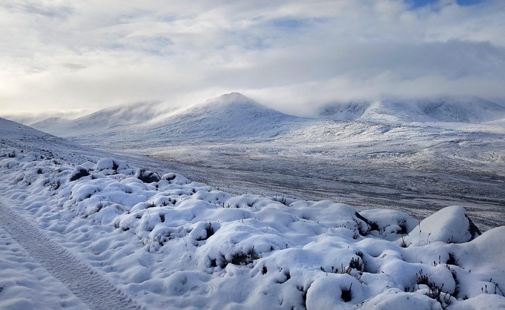
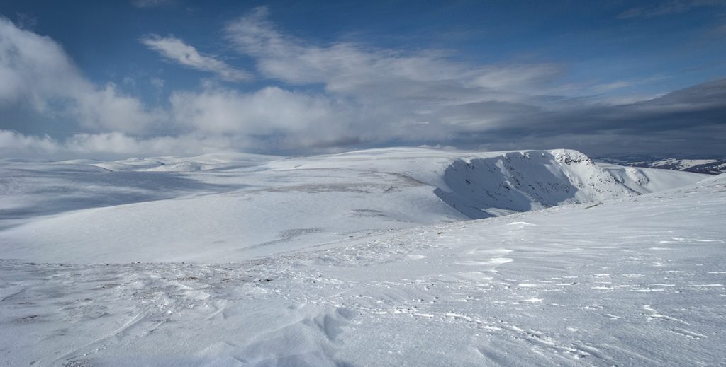
Every day, other people are putting boots on the ground so to speak, and in the modern era they often leave an immediate ‘trail’ online: photographic evidence on social media.
For my planned destination. e.g. for Lochnagar, on instagram I can search for hashtag #lochnagar and also by location Lochnagar. These searches have two sections: top posts and recent, with recent being the useful one. Each post will have a date, and the text may indicate whether the photo was taken recently, or is just a new post of an older photo. For popular locations, there will normally be a few photos every few days, however not so much for less popular ones which may not have anything recent enough to be useful. Towns near to mountains will often have photos with the mountains in the background, or locals commenting on driving/walking conditions.
(this was useful until early 2024 when instagram removed the capability to see recent posts on searches – however you can still access some links directly – example links at the end of the article)

The same type of searching can be carried out on twitter and facebook, with facebook in particular having many groups and pages dedicated to the general area of topic, even some specific to ground conditions in winter. Ground conditions in UK mountain areas Ground conditions in Scottish mountains. Some of the social media accounts of mountain rescue teams have useful updates. There are also some webcams available that will show scenes in relevant areas e.g. http://www.snowgatecameras.co.uk/
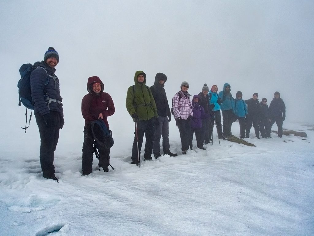
Also very useful are social media/blogs of mountain guides, many who post photos of groups they take out and detail what the conditions were. e.g. Tarmachan mountaineering
It’s also possible to do general searching e.g. search for the place name, e.g. Lochnagar then posts then click recent. You’ll need to check each post to see the date, and there will be loads of fluff that isn’t what you’re looking for.
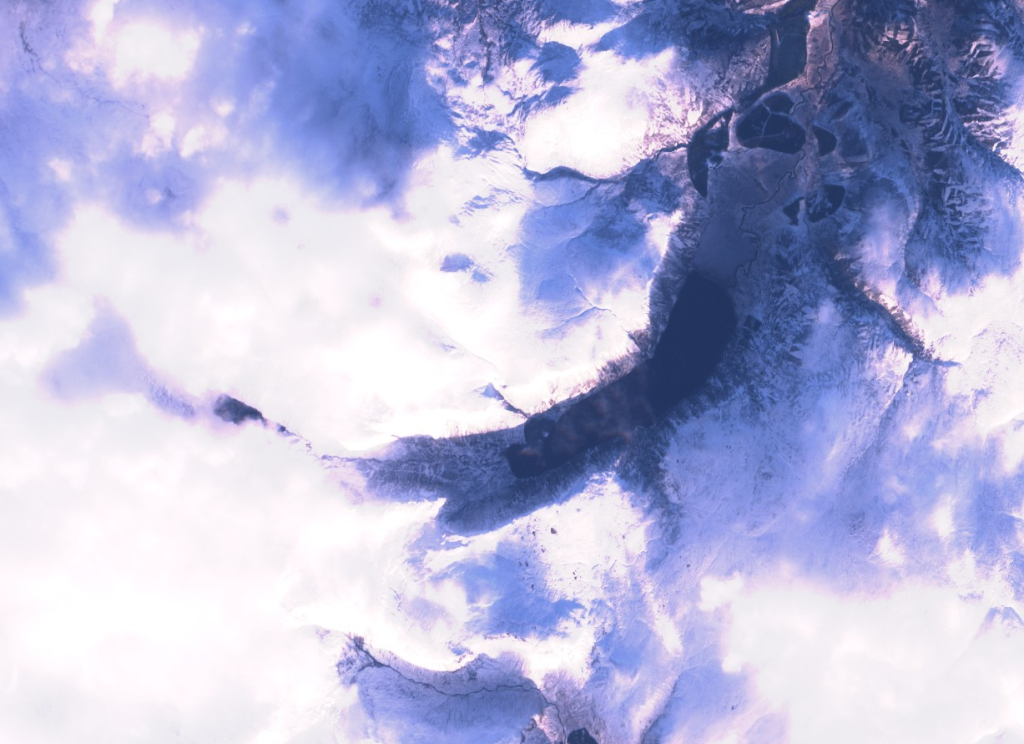
Another extremely useful source is the Copernicus satellite website which shows low resolution photography from now and historically. To use it you need to create a free login. Once logged in:
- Go to the top right layers icon and select OSM background
- Zoom and pan in to the area of interest e.g. lochnagar
- On the left notice the date selector, and the cloud icon which by default is set to 30%. If you adjust the date slider, you’ll notice that more dates appear in the calendar as you raise the percentage.
- At 100% you see the pattern of overpasses – typically every 2nd or 3rd day. Although 100% includes total cloud cover – sometimes the cloud cover is thin enough to ‘see through’ and sometimes there are small but useful gaps in cloud cover so I leave it there.
- I also change the default beside the calendar from Sentinel-2 L2A to L1C using the down arrow just right. (L2A has some processing to the imagery that I find distracting)
- Select a date close to now and then on the layers icon top right: Sentinel-2 L2C, OSM background, Labels. Untick Sentinel-2 Mosaic (again it processes inclusion of irrelevant out of date stuff)
- On the left select your date – try for a week before the current date. You can use the date arrows to jump between passes. It’s often the case that weeks can go by without a clear pass due to clouds – but when clear you’ll see exactly where the snow is lying.
- It can sometimes be useful to move the view around – there might be clouds over Lochnagar, but Beinn a Bhuird is clear – and this can still be useful in seeing a regional pattern of coverage.

This modern concept of ‘web-scouting’ of course has quibblers and it agitates the old-fashioned into a blustering of whataboutery: “conditions can change rapidly, you should be prepared for all conditions, you can’t trust reports on the internet”. These are all true to a certain extent but miss the salient point: more information is better than no information. *Ground* conditions may change rapidly, but generally progress over days, and recent historical data is useful in planning.

* More information is better than no information *
* Weather and ground conditions aren’t the same thing *
Avalanche hazard prediction, or just sensible route design to avoid deep snow, needs both the input of ‘what snow has already fallen, how it was blown by wind, what conditions have been like since – has it consolidated, thawed etc’ and also ‘what is the wind and snowfall forecast imminently’. You’re not getting the full picture if just looking at ‘weather forecast for tomorrow’.
Some example URLs I use for checking some of my common destinations. In some cases, using a town nearby to a mountain region can sometimes see photos with mountains in the background.
Copernicus zoomed in to Lochnagar, January 2024
Copernicus zoomed in to Beinn a Bhuird & Ben Avon, January 2024
https://www.instagram.com/explore/locations/273486454/lochnagar/recent
https://www.instagram.com/explore/locations/261853523/cairngorms/recent
https://www.instagram.com/explore/locations/233548701/ballater-aberdeenshire/recent
https://www.instagram.com/explore/locations/259044391/ben-macdui/recent
https://www.instagram.com/explore/locations/255826341/braemar/recent
https://www.instagram.com/explore/locations/253930735/mount-keen/recent
https://www.instagram.com/explore/locations/108285939193214/cairngorms-national-park/recent/
https://www.cairngormmountain.co.uk/weather-webcams/mountain-report/
http://www.snowgatecameras.co.uk/
Facebook search > Lochnagar > Posts > Recent Posts
Guides (e.g. for my area in Cairngorms):