With autumn in full swing, a Saturday saw an extremely early (5am) start to head south west to try a different area and a new mountain, Ben More near Stirling. There’s another munro connected by a ridge nearby and we’d take that too if the going was good.
With the forecast being for heavy rain later in the day, the early start made sense and after a long drive we were nonetheless starting up the hill at 8.30. Out first navigational query straight away as various signs directed walkers past some form of works being carried out.
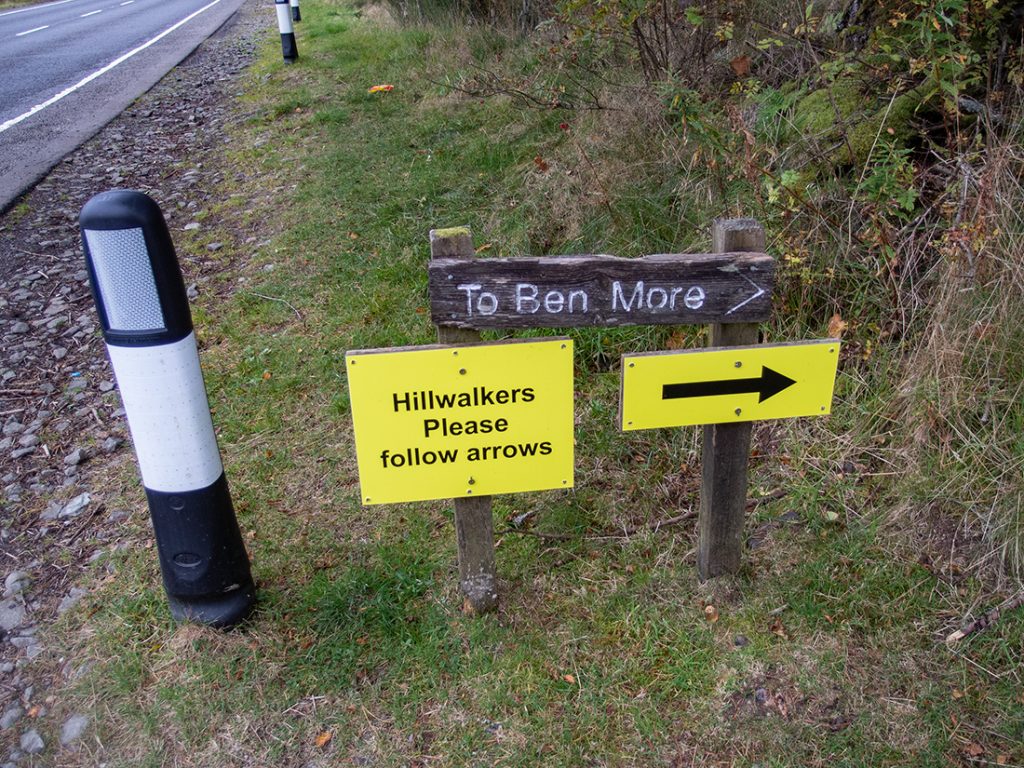
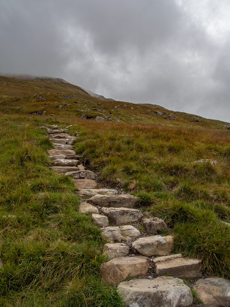
The first muddy bit of path rejoined the works track further up (could have ignored the signs) and then we hoisted ourselves skyward first on some reasonable steps
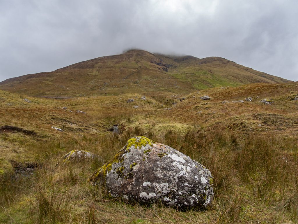
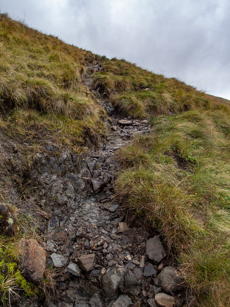
Further up the steps works had petered out and rough runnels led forward. It’s all pretty steep; within 3k there is 1000m to ascend. A tea break was taken enjoying the view back down and across west to Crianlarich
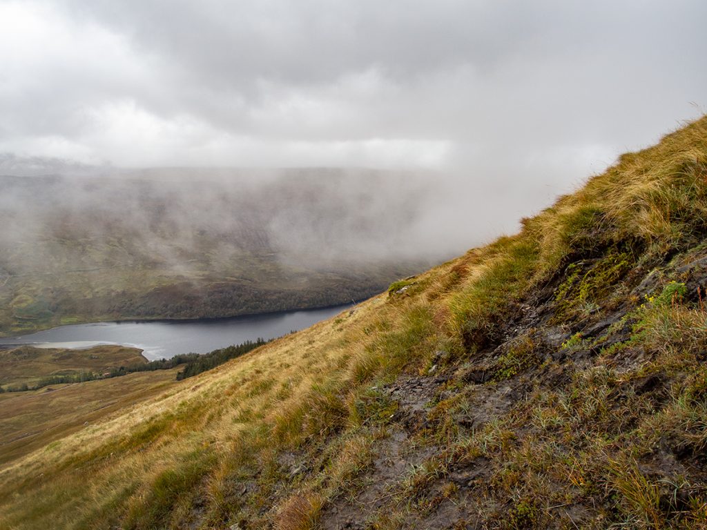
To our right side fronds of cloud were torn and buffeted warning us of what’s to come; we were in the lee side of the hill and sheltered from what were predicted to be quite high winds.
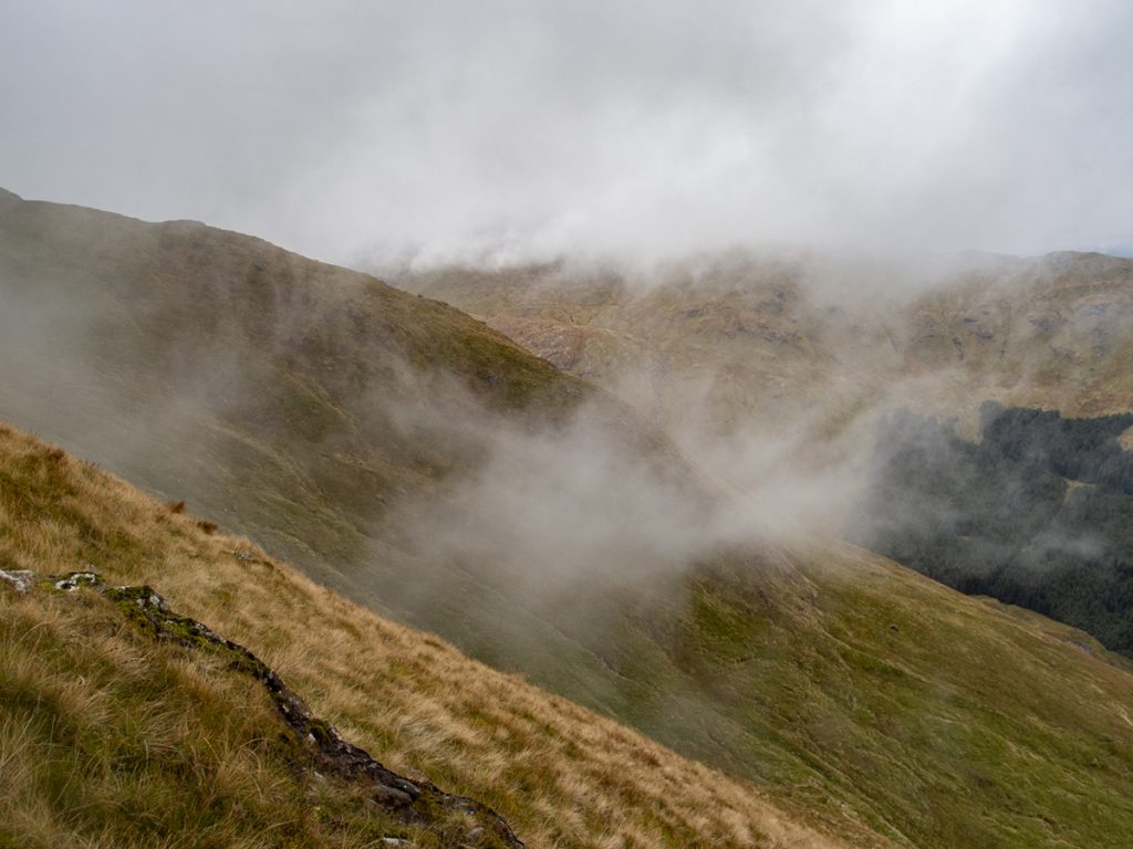
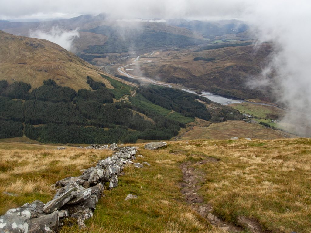
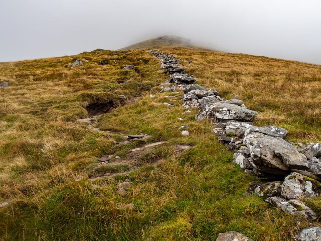
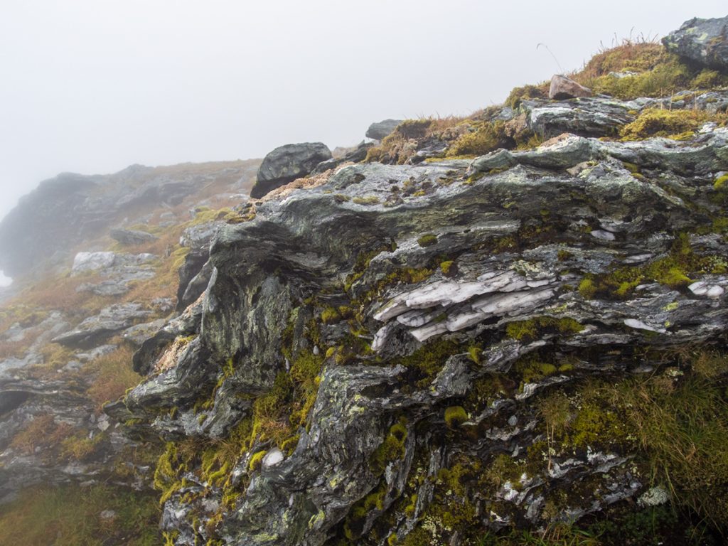
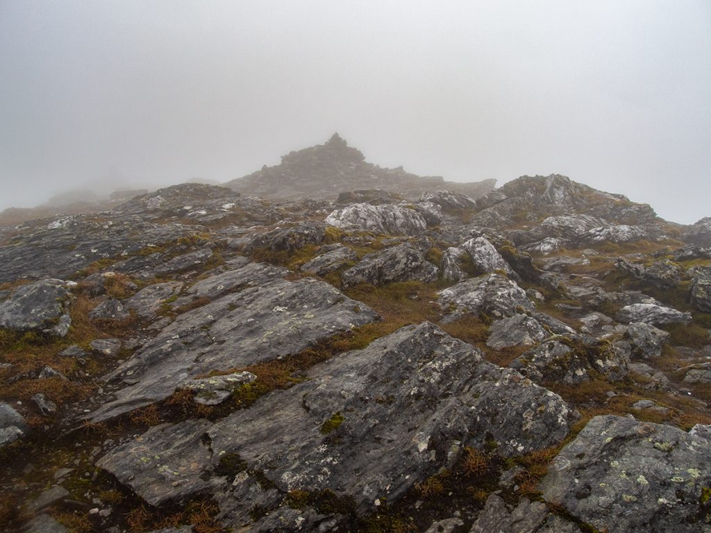
The path follows a wall up, thence winding through some rocky outcrops which tempted us to think we were near the top (nope) before smooth grassy terrain was traversed (not much heather here all very grassy). We’d entered cloud so unfortunately the steep views expected weren’t available.
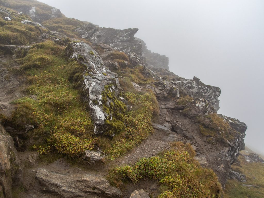
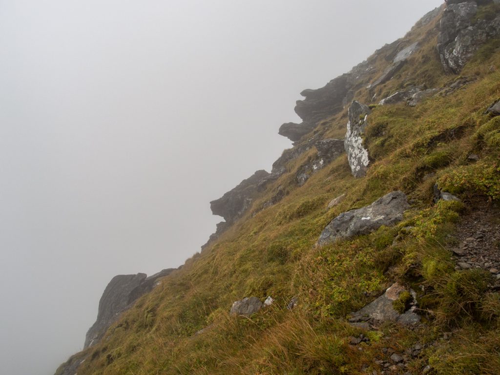
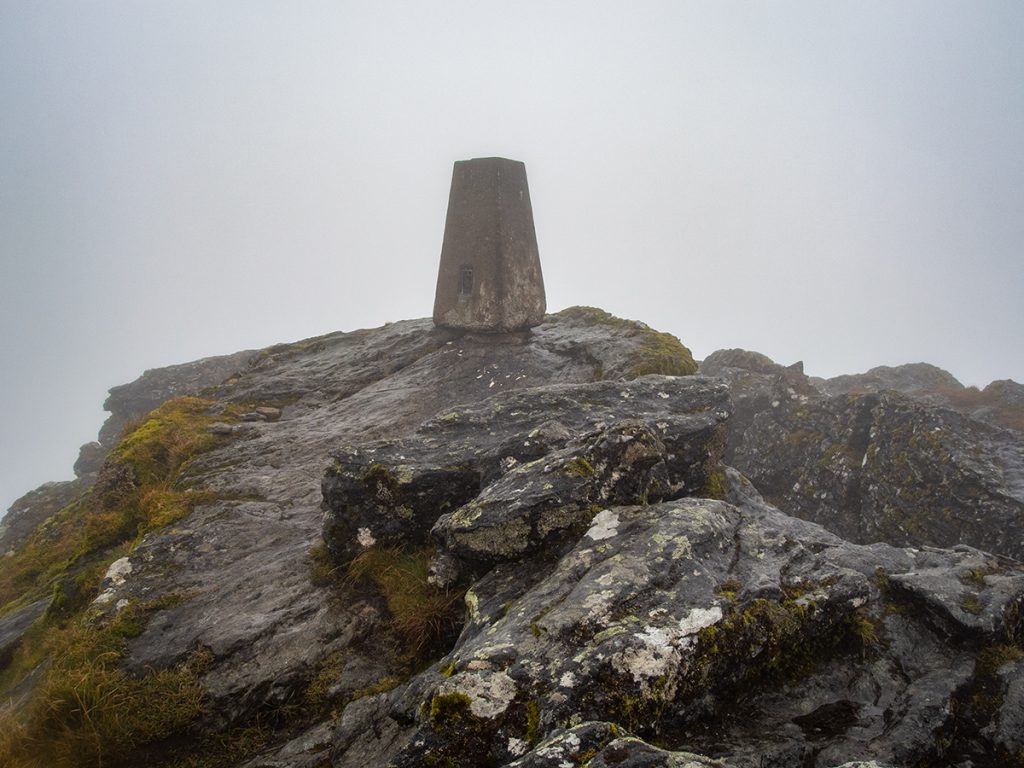
The rocks returned, now we were at the top (1174m), and appearing through the grey void came a cairn and a trig. To the right of the trig, a gap down amongst the rocks provided a snack and tea break shelter. Now out of the lee, the wind howled past with drizzle, the 2ºc with windchill well below zero meaning fingers were numbed quickly and we headed off before getting too cold.
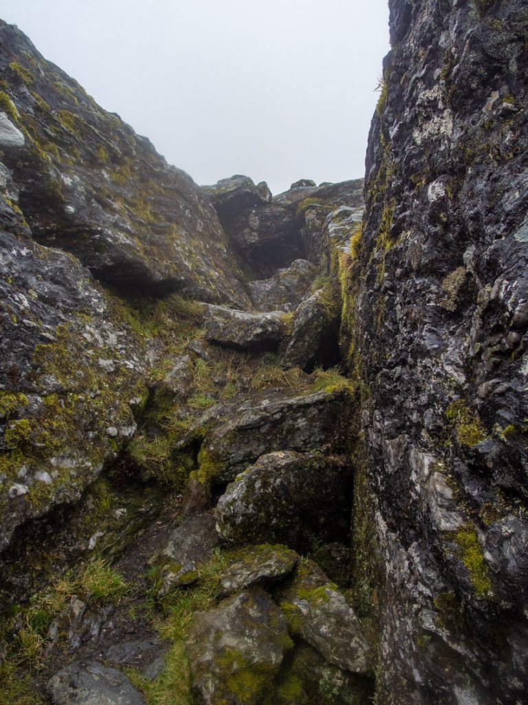
I’d read there’s a couple of awkward steps down through the rocks heading south, we found one and with the rocks slippery wet decided to take the bypass path (on viewranger but not OS maps) cutting back then round to the east. There was another higher step perhaps 5 feet that looked ok from below but not so tempting from above.
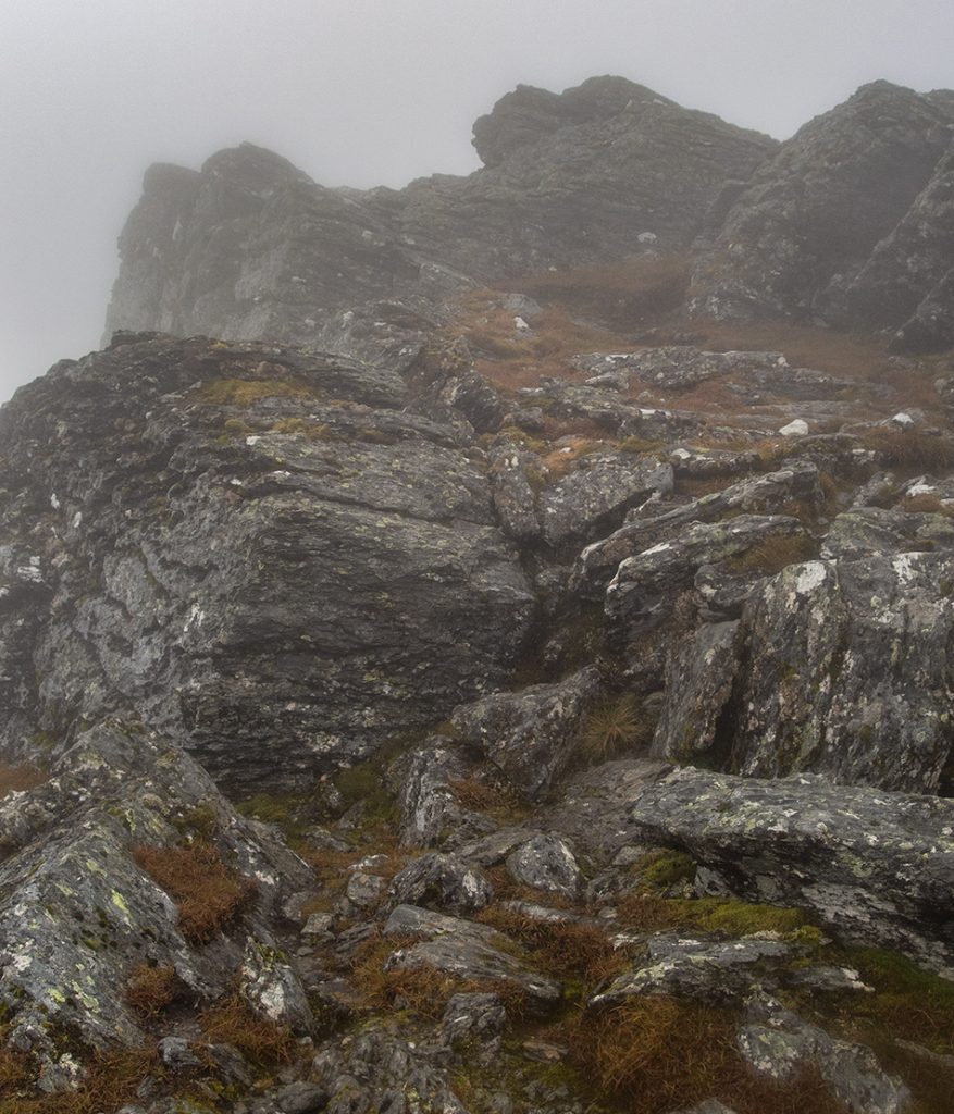
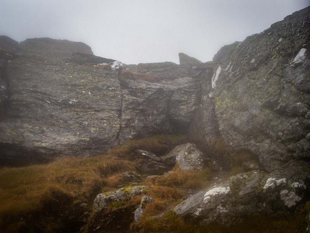
We made our way down to the bealach at 862m we made the choice to descend to Benmore Glen rather than press on to ascend Stobb Beinn, the weather was due to get worse and there’d be very little to see.
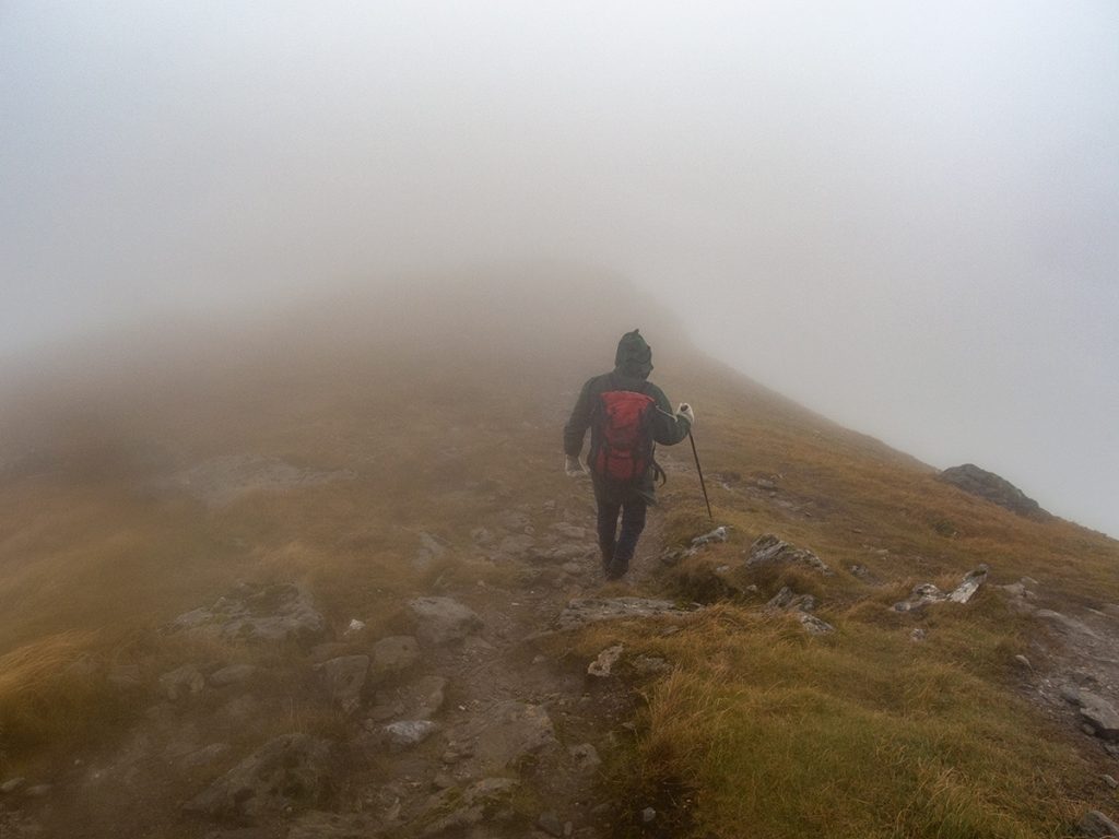
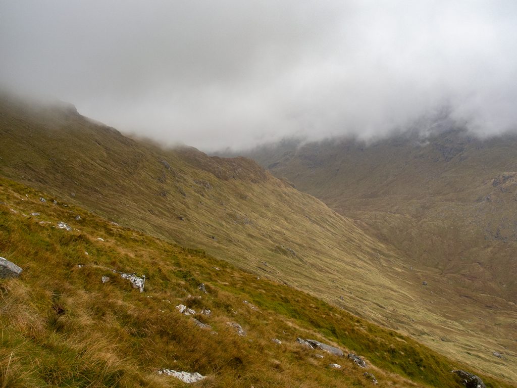
There’s a path contours north west down to the glen (again, not on OS maps, but I’d drawn it in on my printed map taking it from openstreetmaps) and as we lost height visibility extended and the rugged glen and hillside revealed itself.
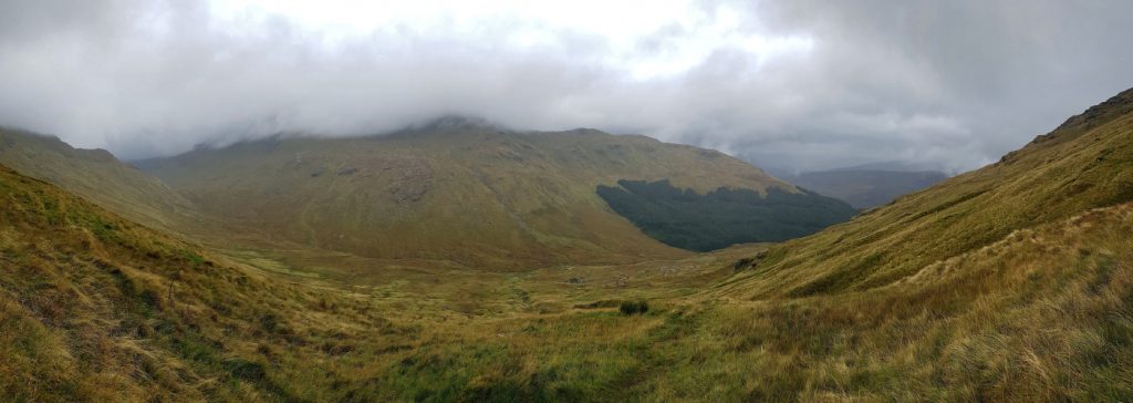
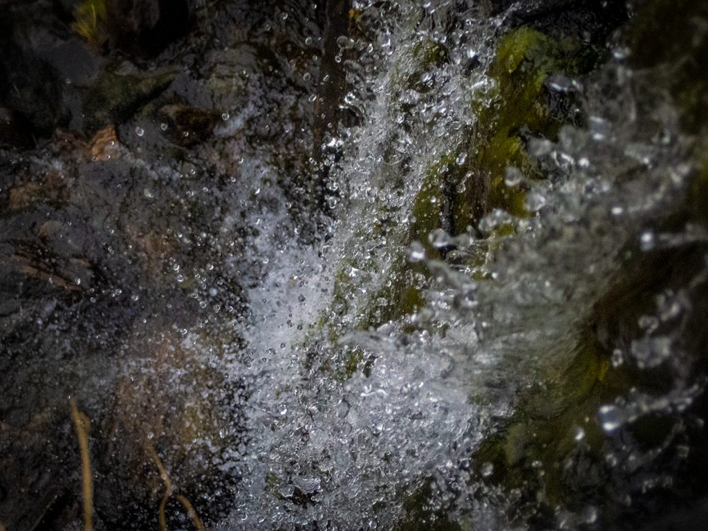
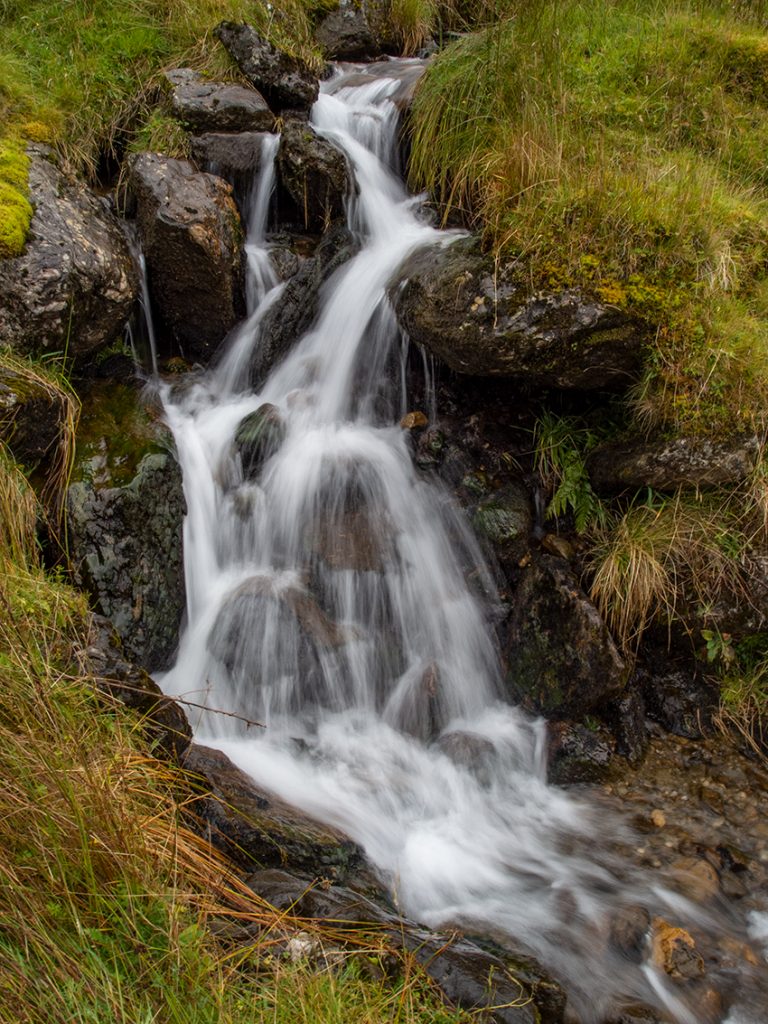
The path (quite boggy) eventually reaches a burn that bounces down the hillside through a series of small falls, eventually hitting a couple of bigger ones. With a bit of time gained by not doing the second hill, I twiddled about here trying to get some nice photos, but the relentless wet (and perhaps some ill-advised exposure times) made for a blurry camera and only a couple shots were salvageable.
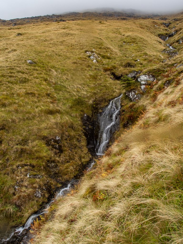
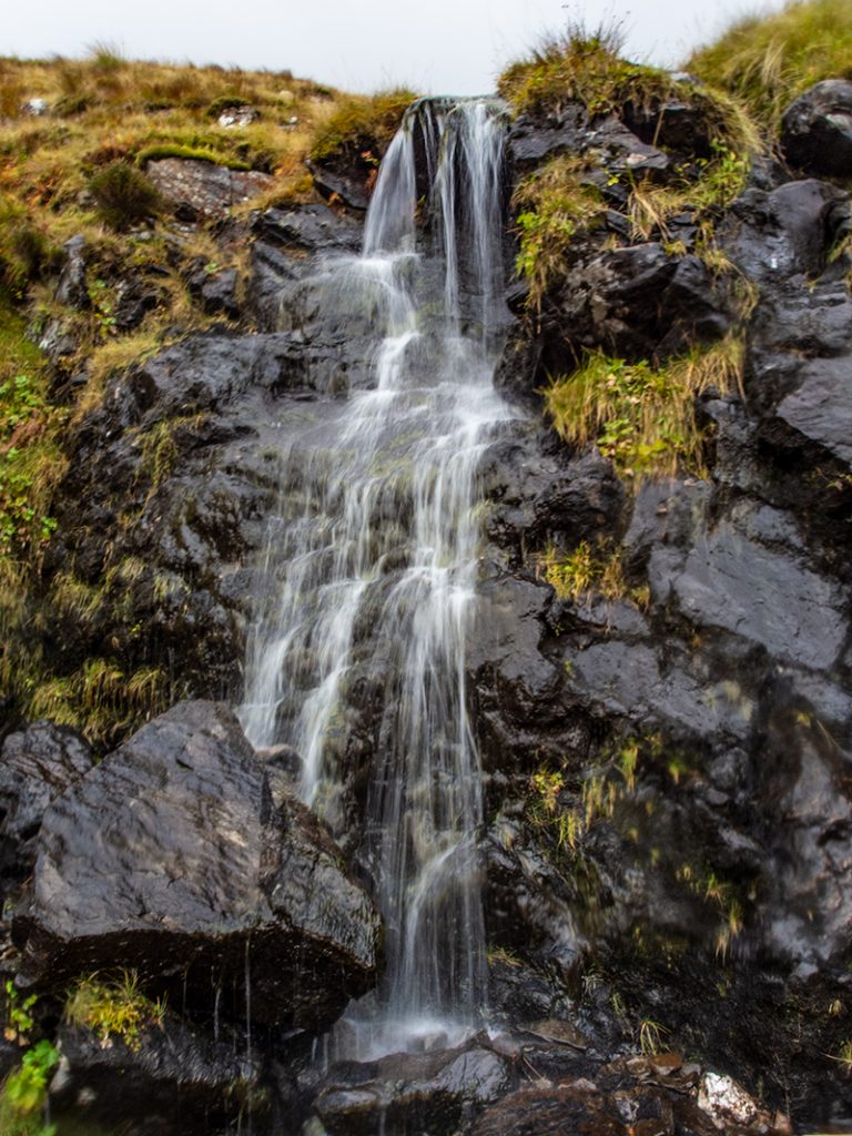
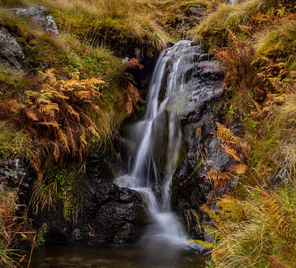
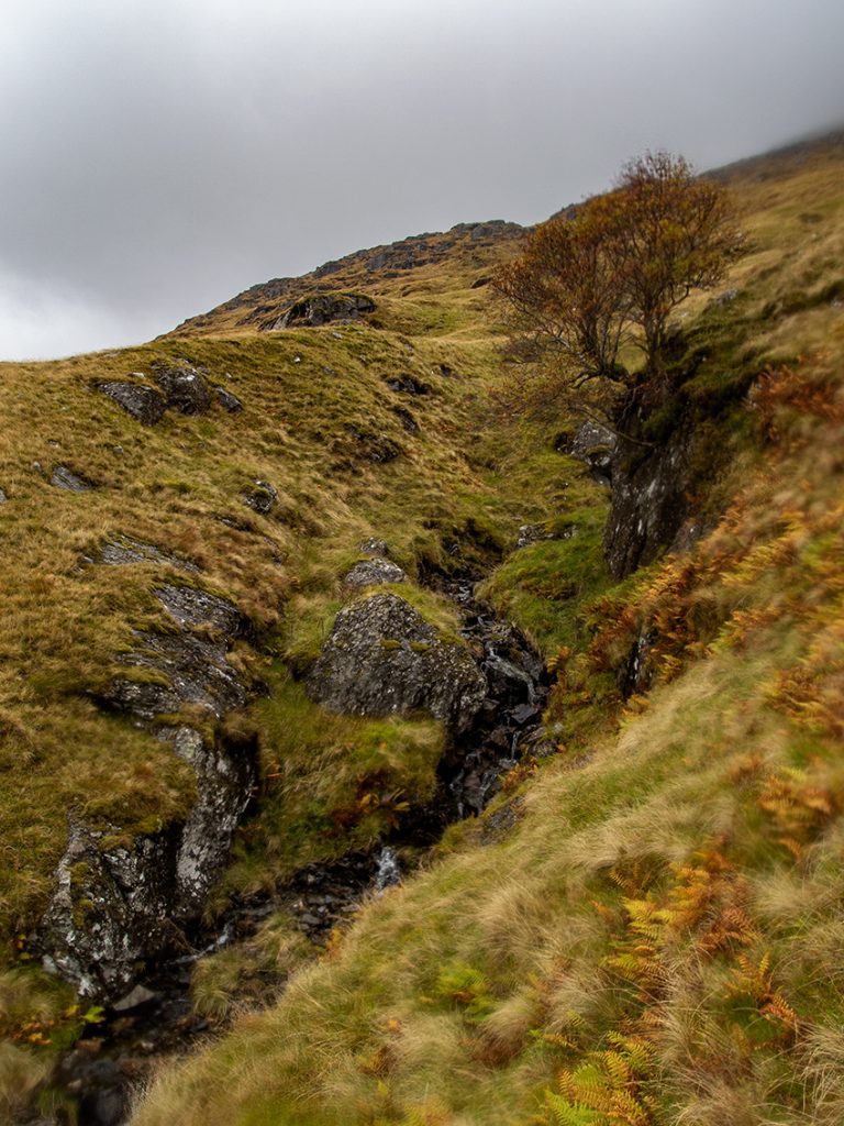
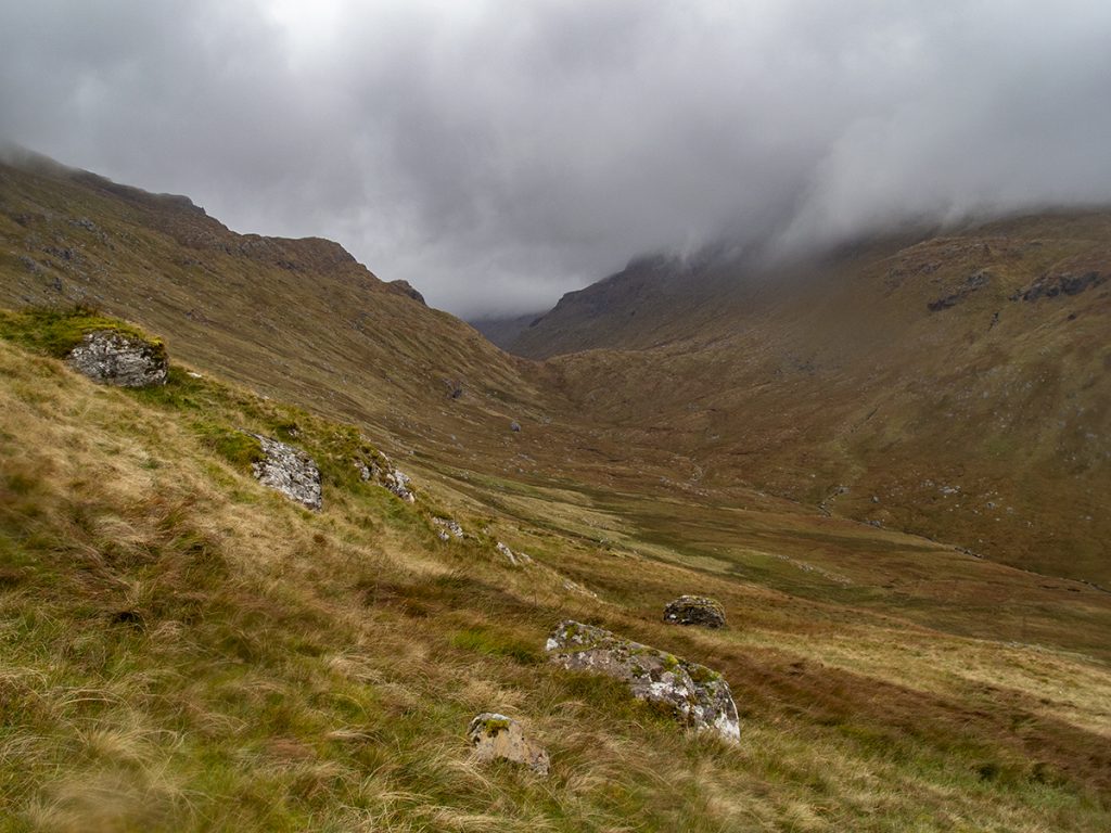
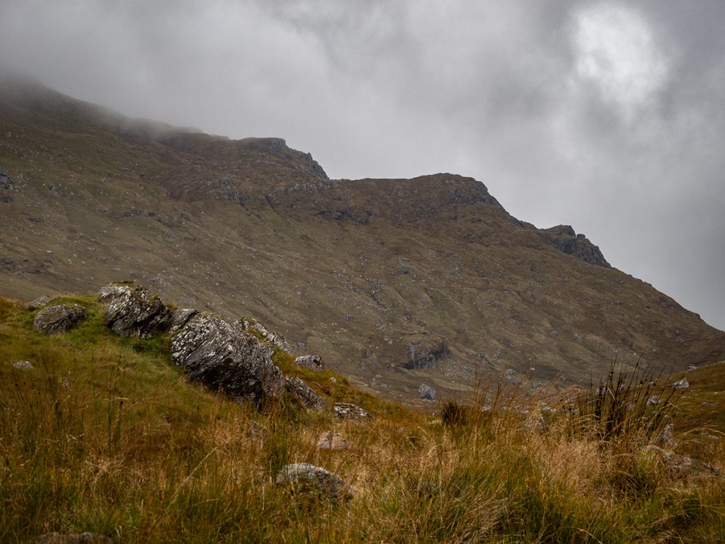
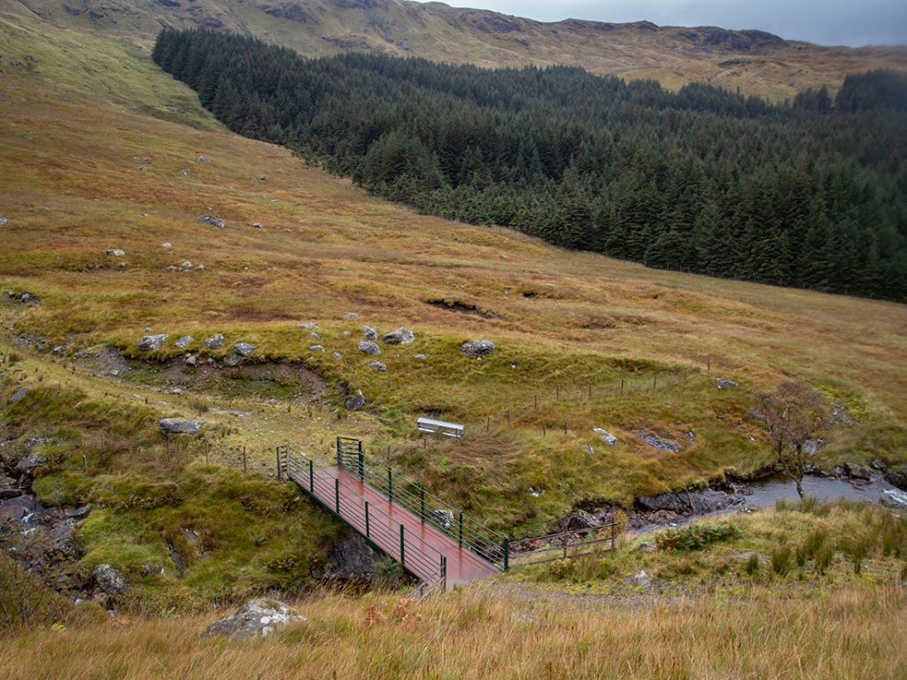
At the glen floor, a track is reached which winds it’s way along the Benmore burn past the odd ruin, and giving a view of the rugged west side of Ben More.
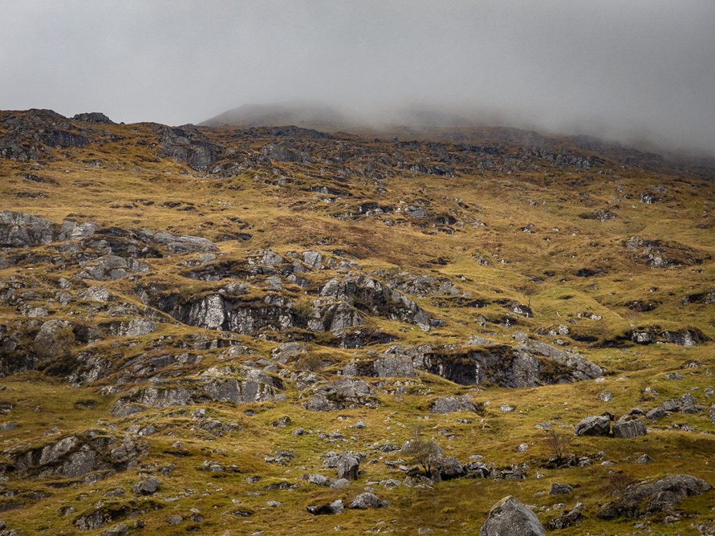
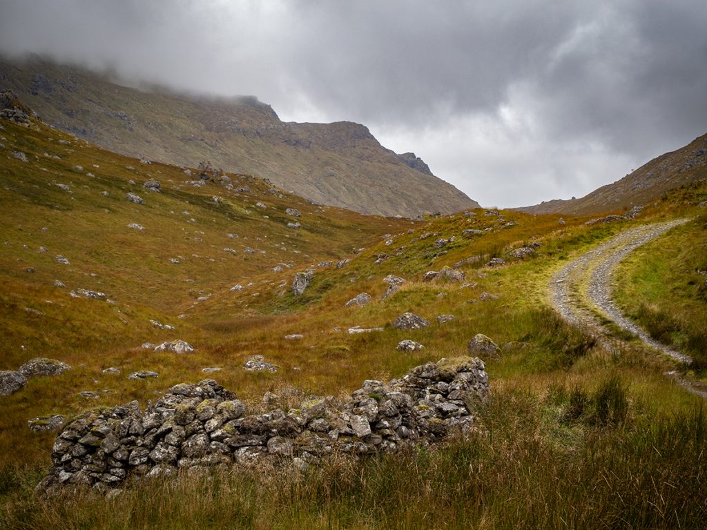
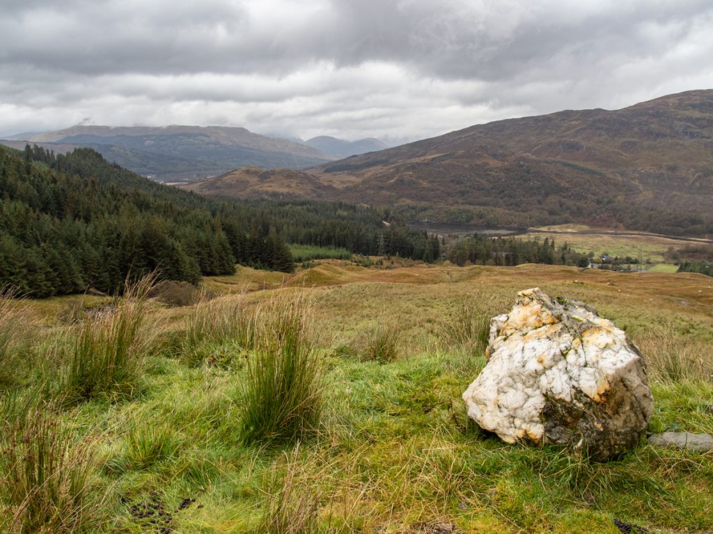
Back at the car (parked at the side of the road) we were no longer alone, there were quite a few others, we had seen a few others at lower points but nobody on top.

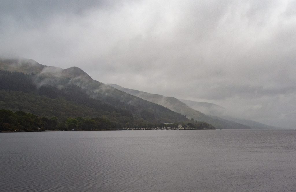
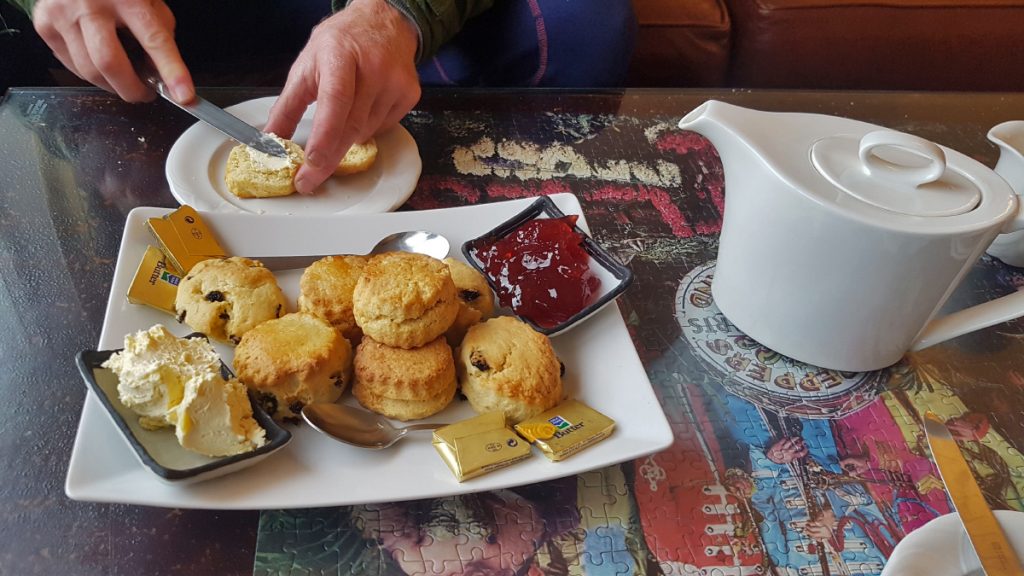
A dreich day demanded a refill of tea and scones before heading back north, and the four seasons hotel at St Fillans was ideal, a seat beside a gas fire and a view along Loch Earn do get warmed back up again.

