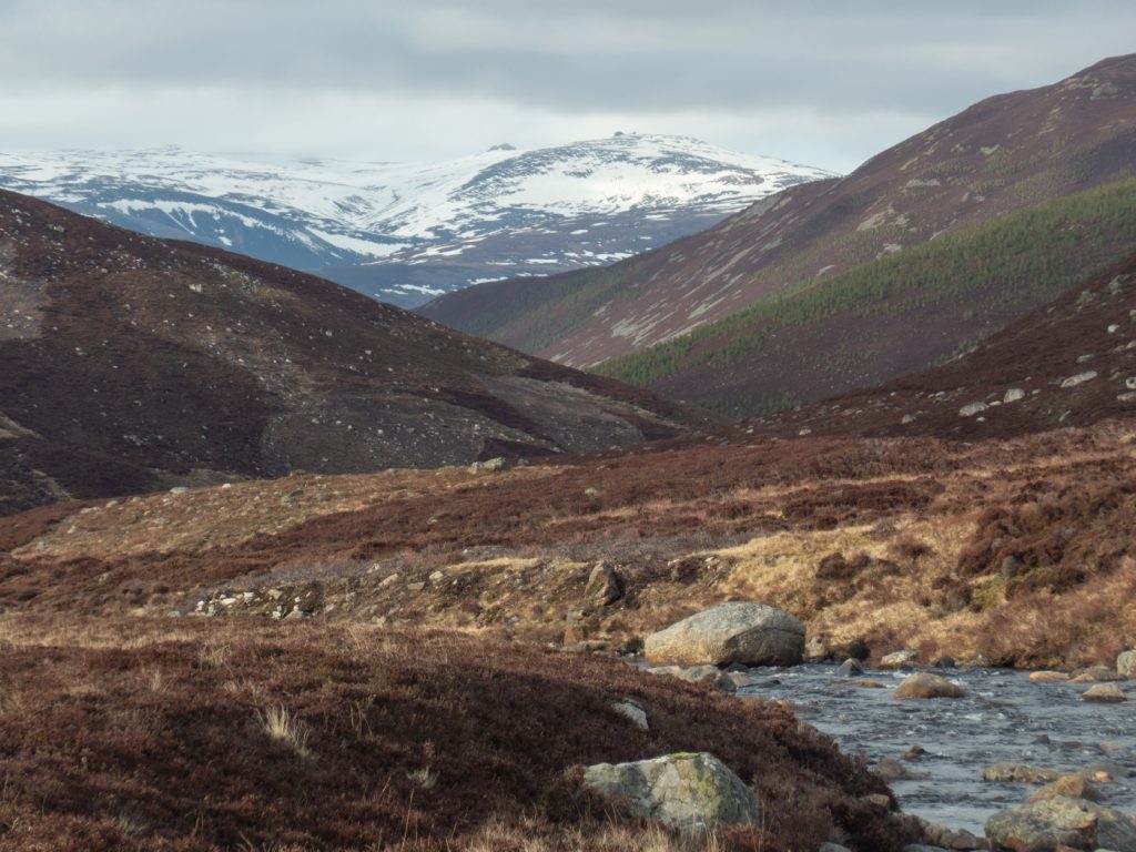
I was roped into leading a club day trip, with the target hill being Tolmount. The original organiser had decided on an out-and-back along Glen Callater, but could no longer lead the main party. I pondered the route – it was 25K with winter conditions still strongly in effect, a tough day out for a group with potentially mixed abilities. In recent times I’d sighted large cornices near the steep slope at the end of the glen, and was aware it was on the slope aspect that had gathered weeks of snow. The avalanche rosette was also moderate for that aspect. The route meant you’d be committed a long way in to a steep sided glen before any difficulties were presented, with no good alternatives other than to turn around.
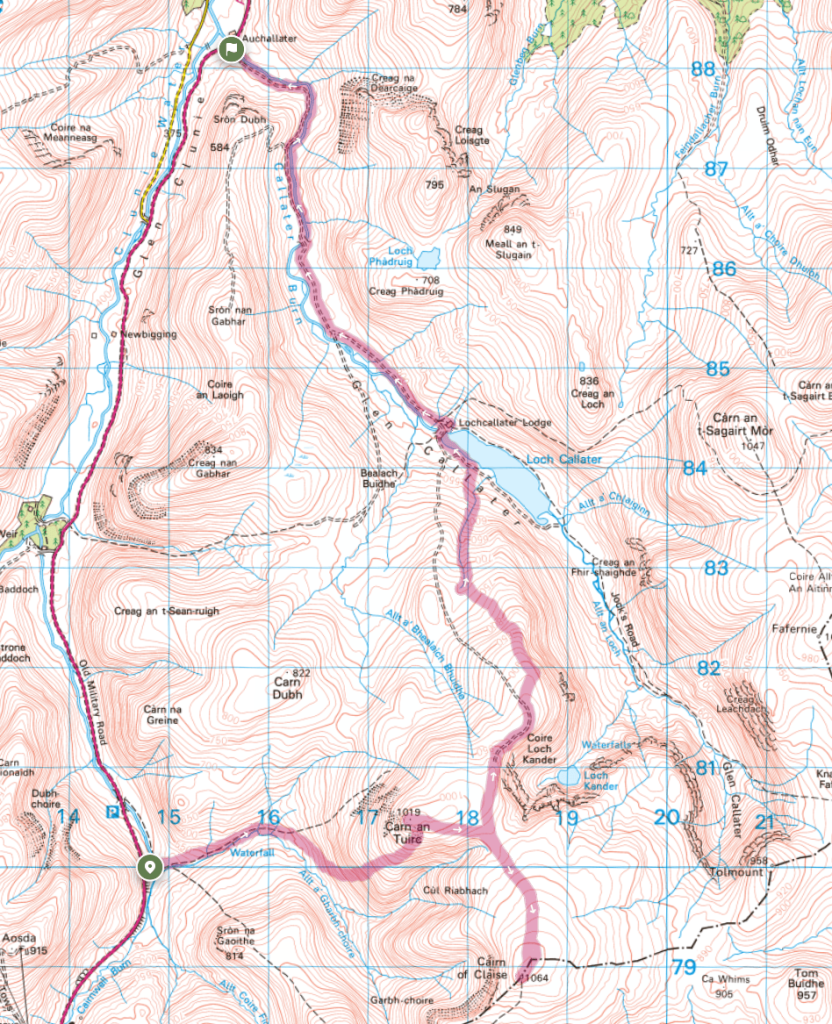
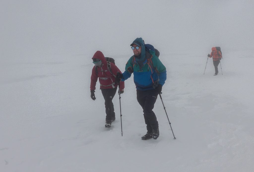
I decided that something else was required that would have more options to cut short or change direction, and avoid any hazardous terrain. When one is a group leader it should sharpen the outlook: is this a sensible route, can it be executed safely and be enjoyable for everybody involved? A long-distance single-direction route that was likely to fail close to the target was not something I was happy to endorse. Looking at the map, a traverse made much more sense – starting at Glenshee reduced ascent by 200m, distance by a few KM, and opened up multiple options earlier in proceedings. On the coach out from Aberdeen, I showed a printed map with the options overlaid and detailed (a lot easier to explain visually rather than verbally using placenames that some might not be familiar with). The others wanting to do the “high” route agreed, and myself and the 3 others were dropped off down from the ski centre before it headed downhill to drop off the others doing other less challenging routes.
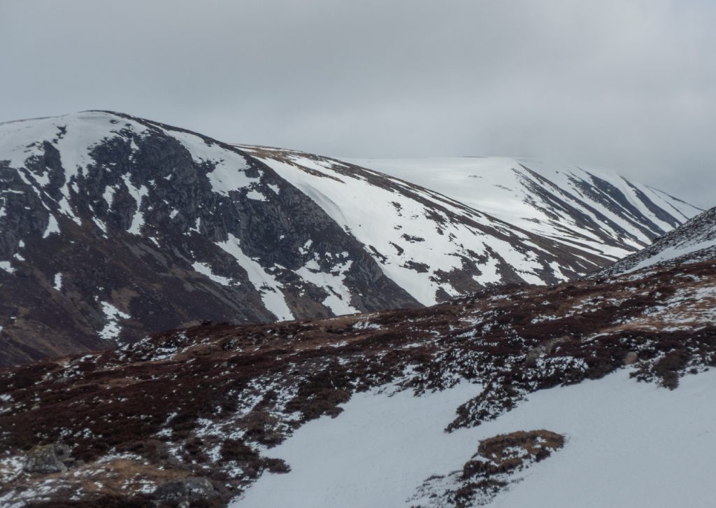
The first choice was to ascend Carn an Tuirc directly up the snow-covered west side, or head around to south-west where we’d spotted a snow-free line. Paying attention and observing these possibilities while still distant from the slope allows for choice – once starting ascending one can only see a limited view, and what’s high above or just round the corner may no longer be visible.
We chose the heathery snow-free stripe, saving having to stop for crampin-faffing, but it was sufficiently steep and relentlessly so that the zig-zagging up required some delayering, and the odd short breather. I noted that was a similar gradient to the potential descent down Jock’s Road to Glen Callater later – and that we’d need to take care as it would almost certainly be snow covered – and potentially hard snow too.
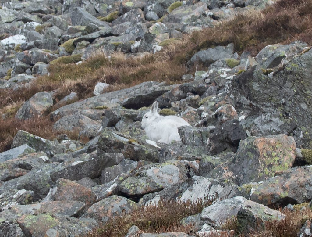
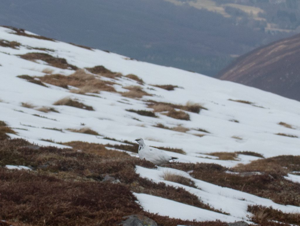
One bonus of the lack of snow on our way up was very easy spotting of fully-white hares that were plentiful with this side being sheltered from the wind.
Half an hour of peching saw us break the slope and on to snow at a gentler gradient, then ticked off our first munro of the day. The wind was bracing on the plateau and we were into cloud, so the maps and compasses came out and we headed east and then south to make our way around Cul Riabhach.
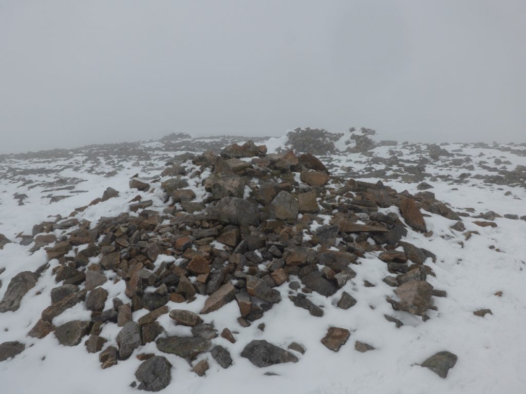

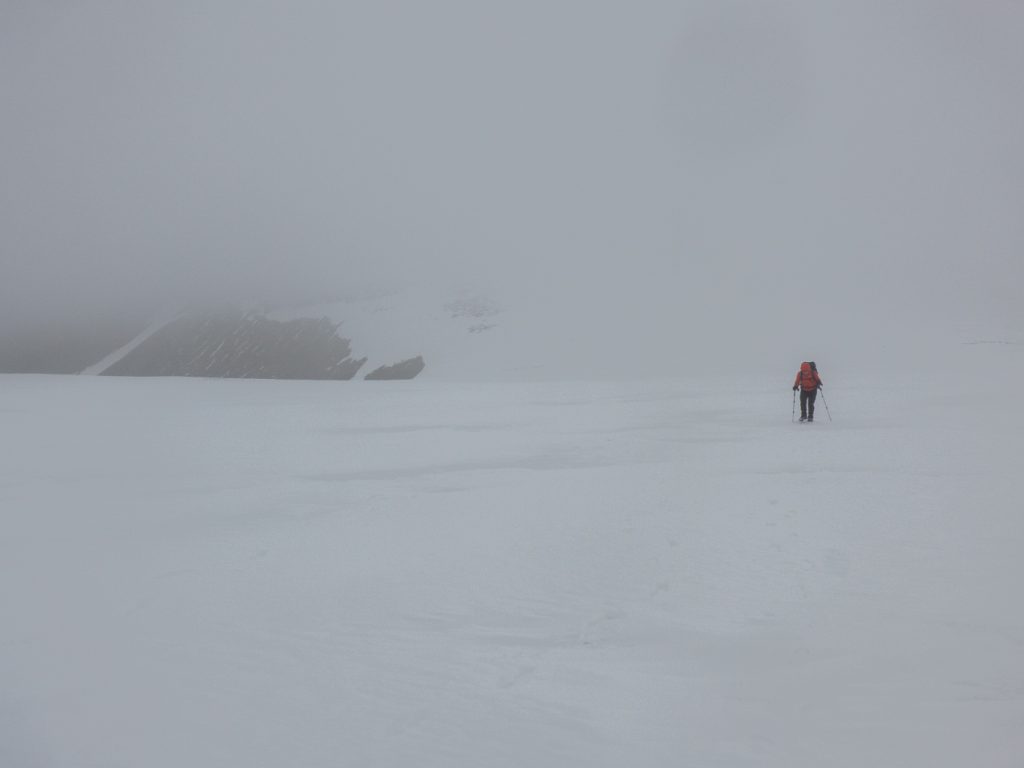
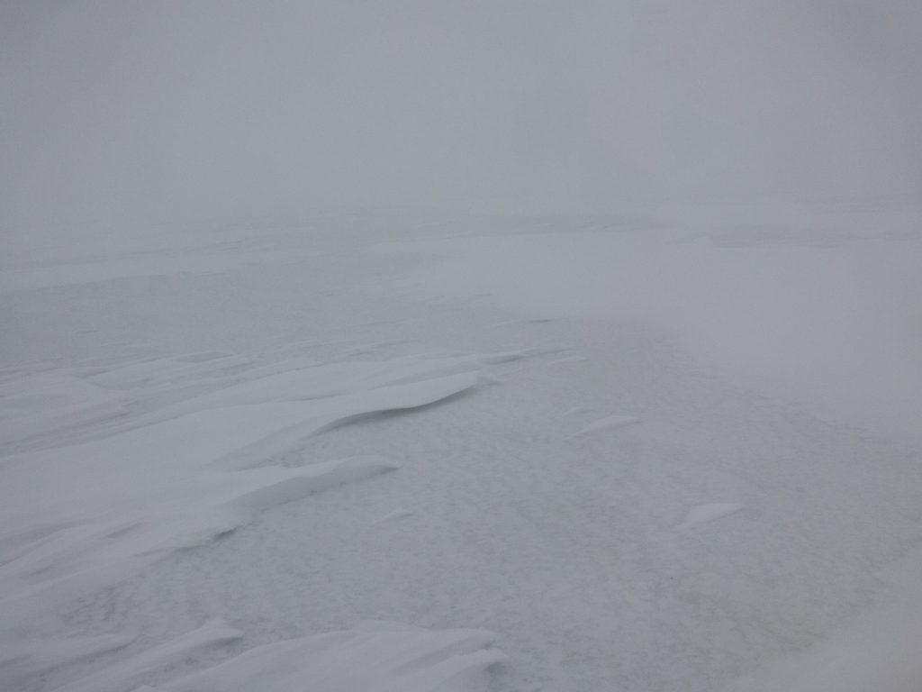
There was an odd patchwork of snow underfoot – older neve not too hard, with streaks and waves of newer snow. It was fairly easy going and we didn’t hit any deep snow here where windswept. We did need to keep an eye on our bearings as no path was visible, just some scattered footprints and ski tracks. The long slope to Cairn of Claise and hesitancy of “are we there yet” was decided as the summit wall came into view.


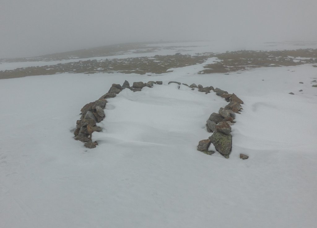
I dug a seat in the summit snow drift and with a cold arse (forgot my sit mat!) took stock of our options. We had slogged in low visibility for a few hours and it didn’t seem likely this would approve. We were slightly behind schedule to meet the expected time at the end. The next leg would be tricky across peat-haggy ground that would likely hold more snow in places, and then the potential was there to have to continue to Fafernie and beyond to have a safe descent back to the glen. As a small group, it was easy to have a discussion around expectations and choices – and we all agreed that taking a shorter route where we descended out of cloud sooner was a good option – we were going to abandon Tolmount, and would head back north to above Coire Loch Kander and then down to the glen.

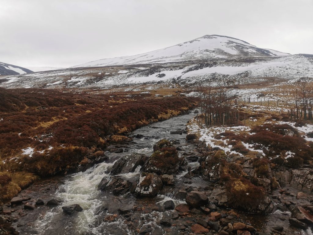
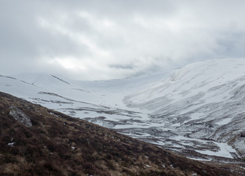
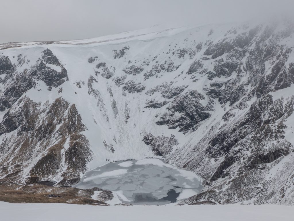
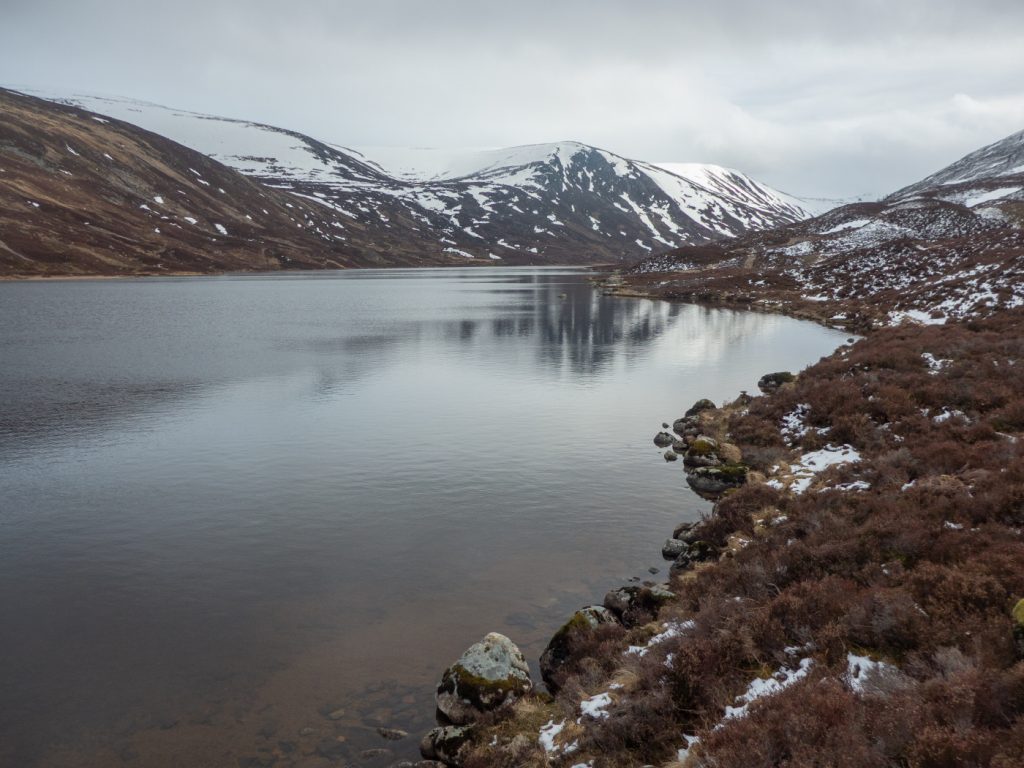
Above Loch Kander we finally got a view of something – we were just about at the edge of the cloud level. The loch was frozen below in the coire, and we could see to the other side of the glen albeit not quite to the end and the descent we’d shunned.

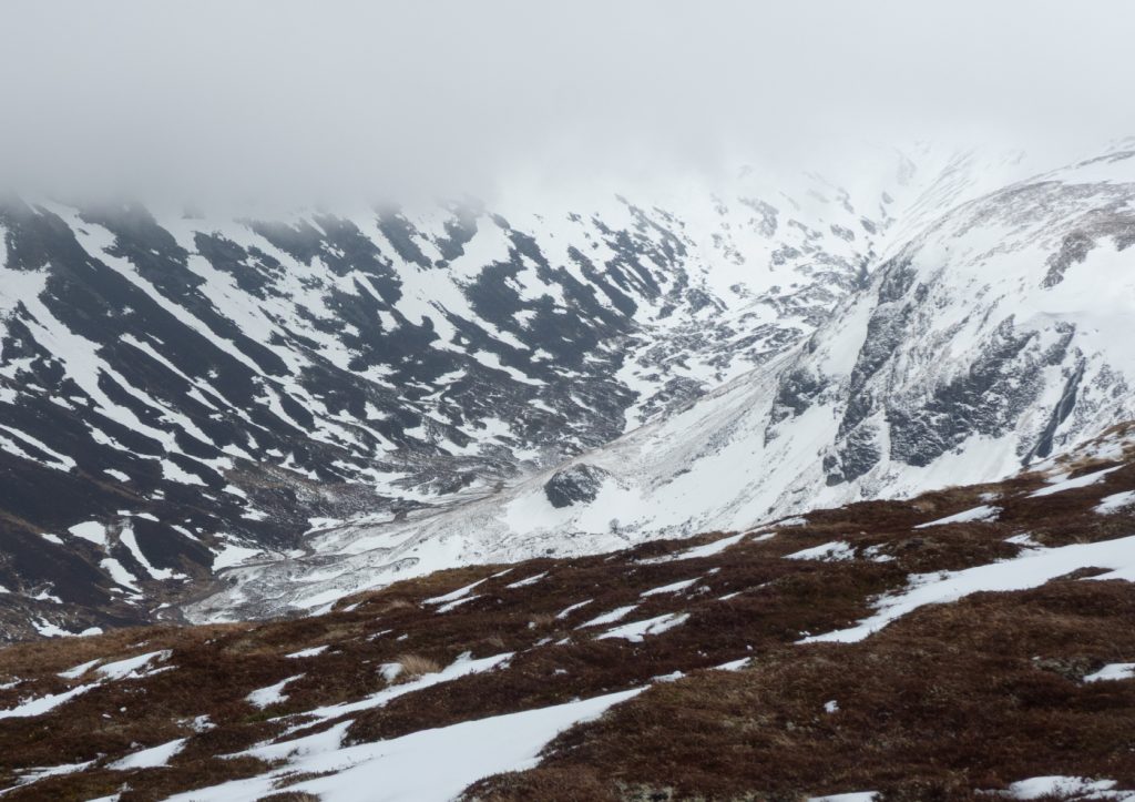
With the shorter route chosen we could relax the pace a bit and we bimbled along the cliff edge for a bit then were drawn away by some snow slopes that were soft and not quite steep enough for a long glissade.
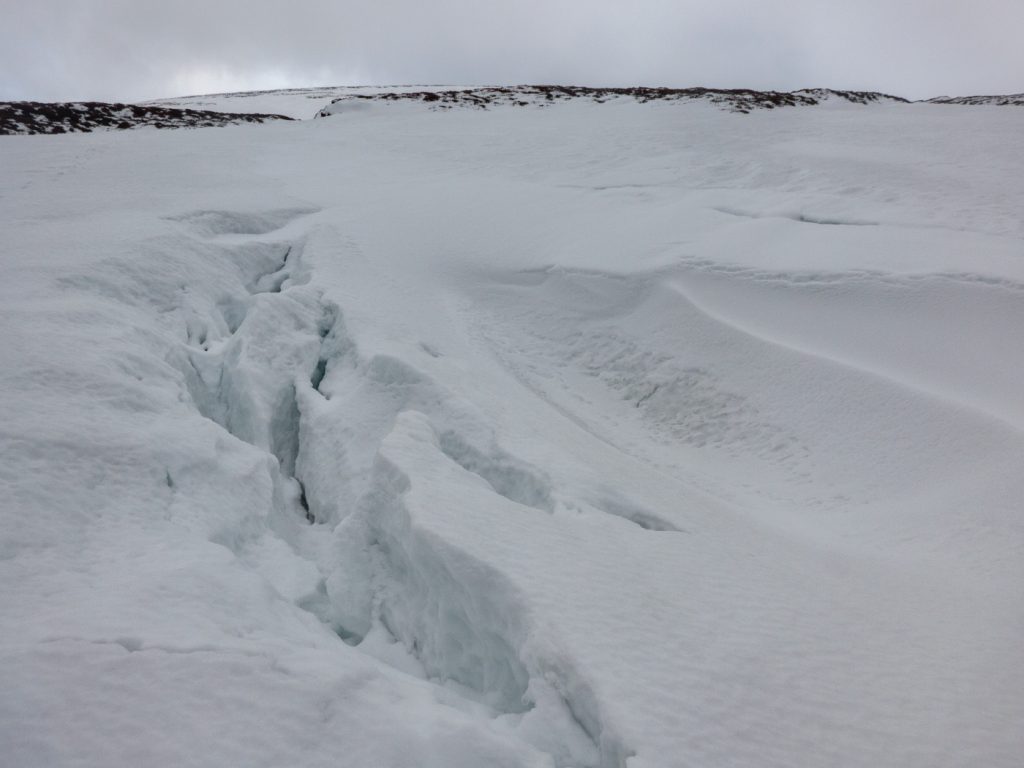
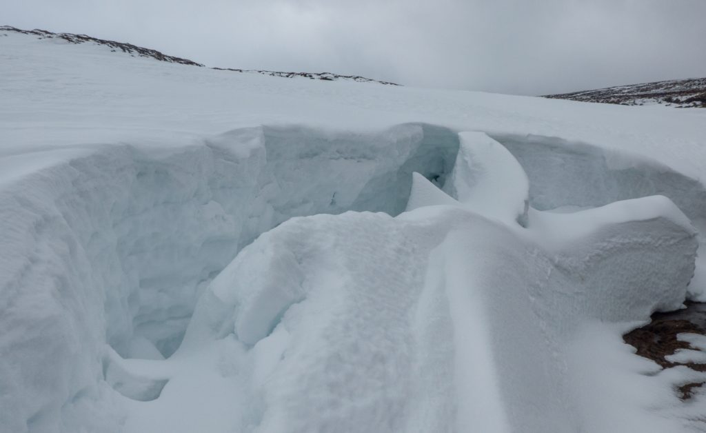
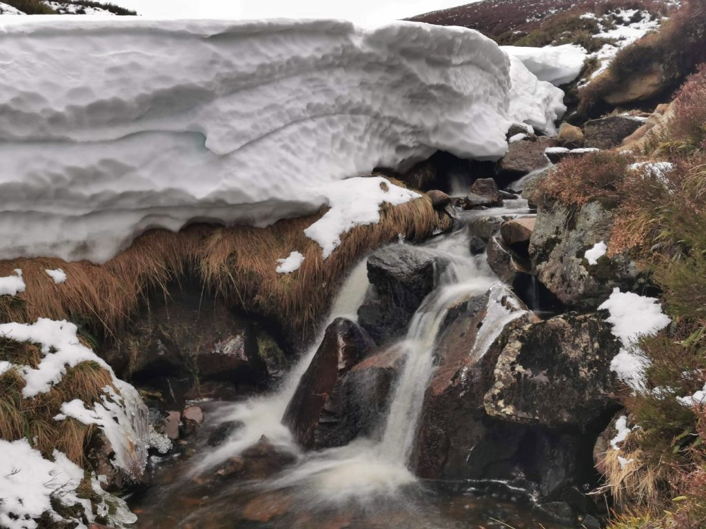
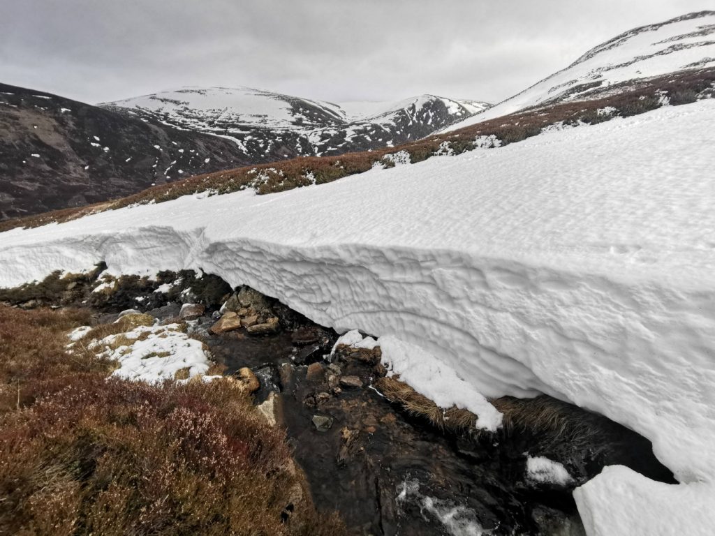
We headed for the stream that enters Loch Callater midway along, drawn by some interesting snow sculpture. There was a lot of deep snow that had piled up a few weeks ago, and was now showing almost glacial style cracks and creep-faults. There were some huge snow banks teetering above the stream even lower down.

Down at the loch side, we were back to a lovely spring day. We spotted a few others from the club who’d started from Auchallater, and joined them at the bothy for a blether, before heading out along the track. I’d remembered this time to take a pair of trainers – my feet were beginning to throb again from a day in the stiff B2 anatom boots, and changing into max-cushioned and airy trainers for the last 5km out was lovely.

As is often the case, the weather began to brighten as the day was almost over. Looking back along the glen I could almost see Tolmount, and forward Ben Avon was nicely lit. There were no regrets about cutting the route short, Tolmount can wait for another day (perhaps a Jocks Road traverse) or some other day when not fighting visibility or a time to finish. I’ve had a few tough long days and many low-visibility blinded tours this winter, and I’m ready for some spring outings and hopefully some more blue sky while the snow persists.