After completing the Moyle Way as the first part of my holiday to Northern Ireland, we had a day’s interlude to Rathlin Island, the country’s most northern point, before commencing walking the Causeway Coast way.
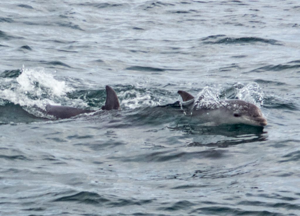
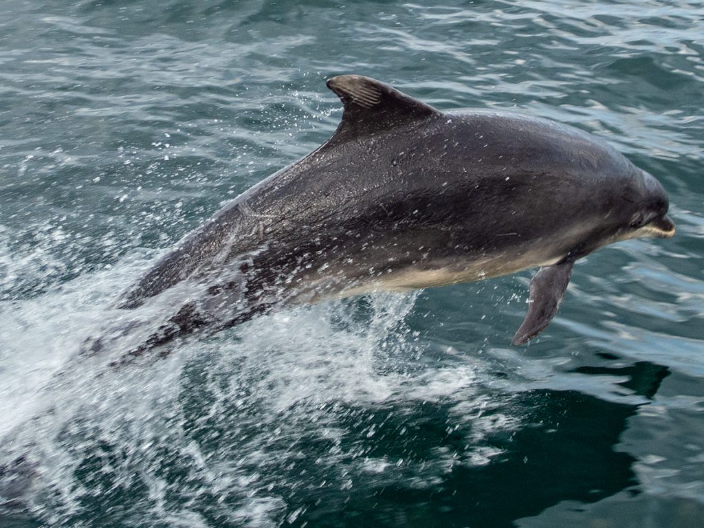
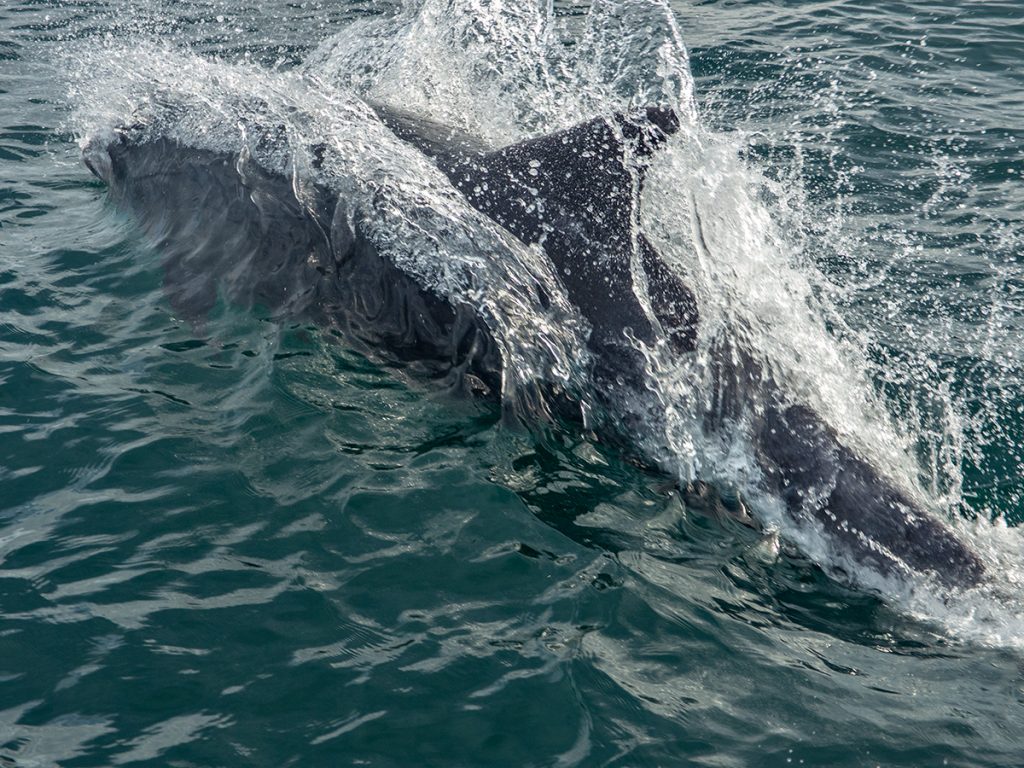
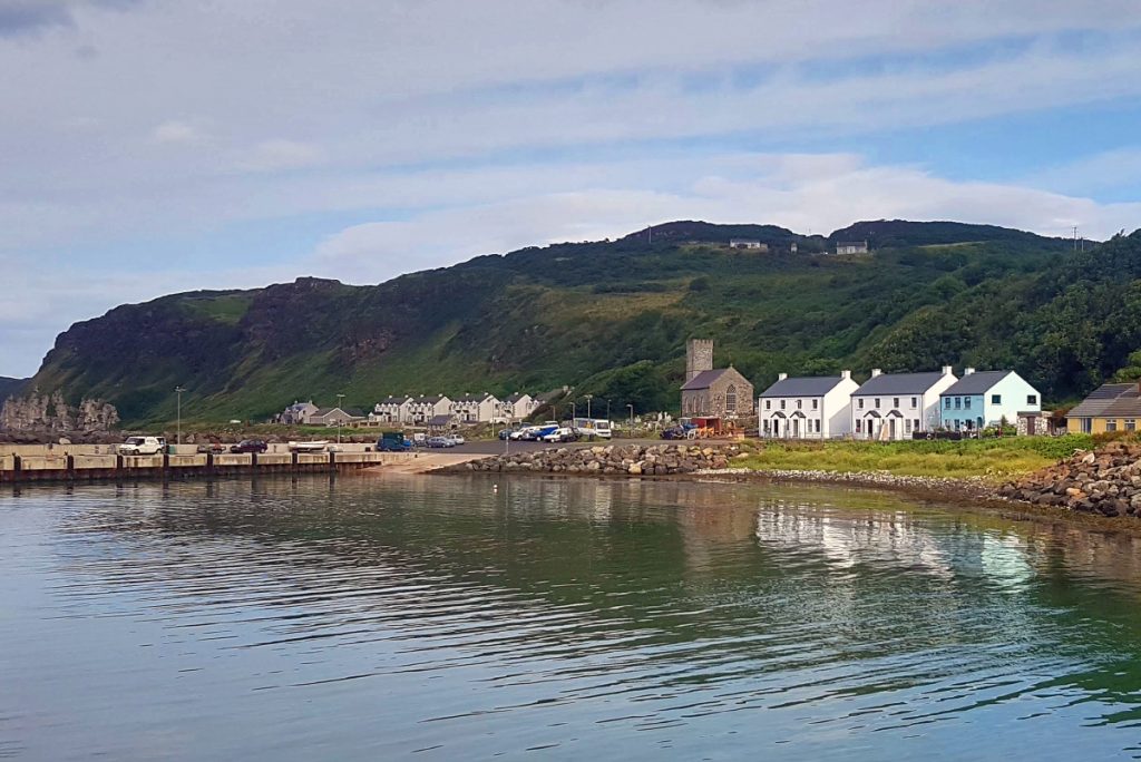
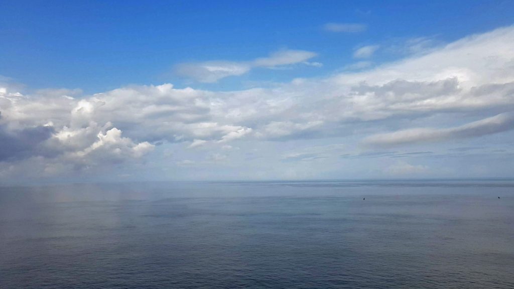
Rathlin island is reached by ferry so we set off to cover the 10km on the catamaran Rathlin Express. Unexpectedly, half way across, the boat suddenly slowed, and an announcement came on the tannoy – dolpins ahead! At first they circled 10-20m away, then as we gradually picked up speed again they closed in and began riding alongside and on the bow wave, jumping out of the water within a few feet. Quite amazing to see so close – the whole boat was spellbound and buzzing. There were a few wildlife photographers on board, heading across to see birds, who had long lenses on that were too zoomed to work so close. A real unexpected treat (apparently only happens a few times a year).
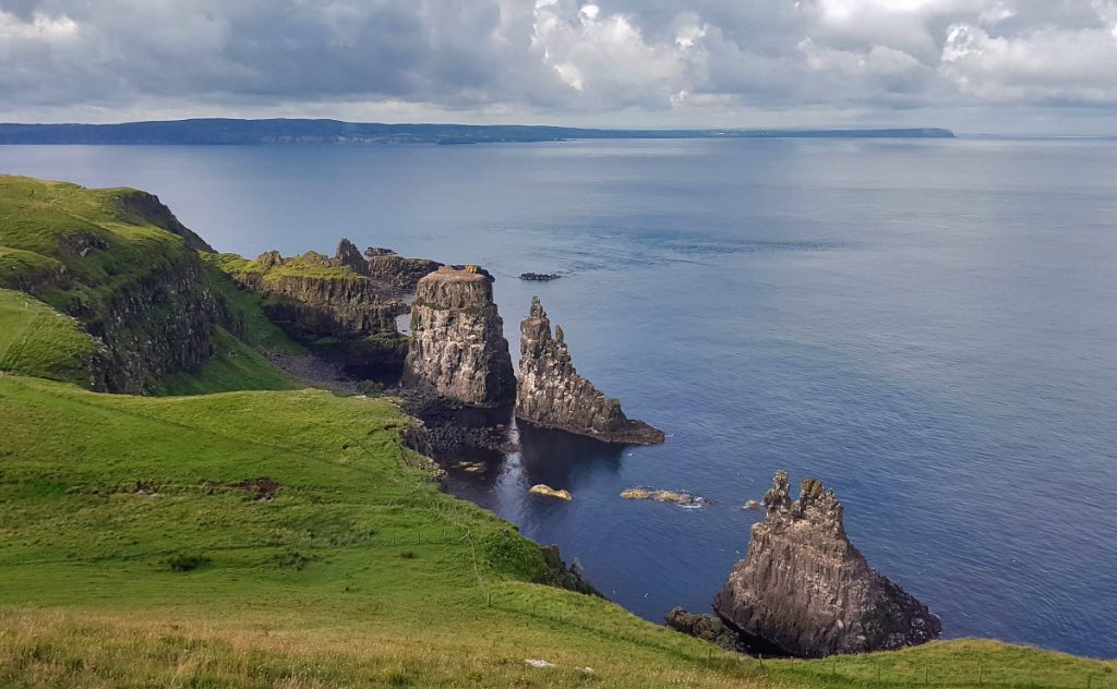
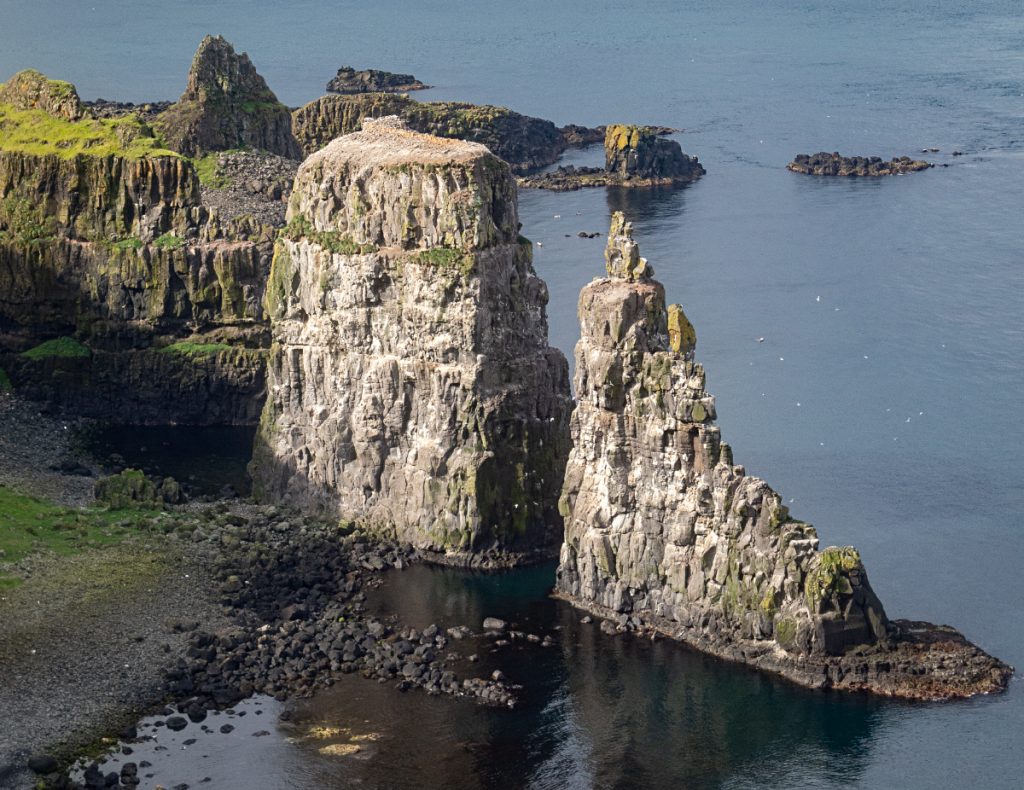
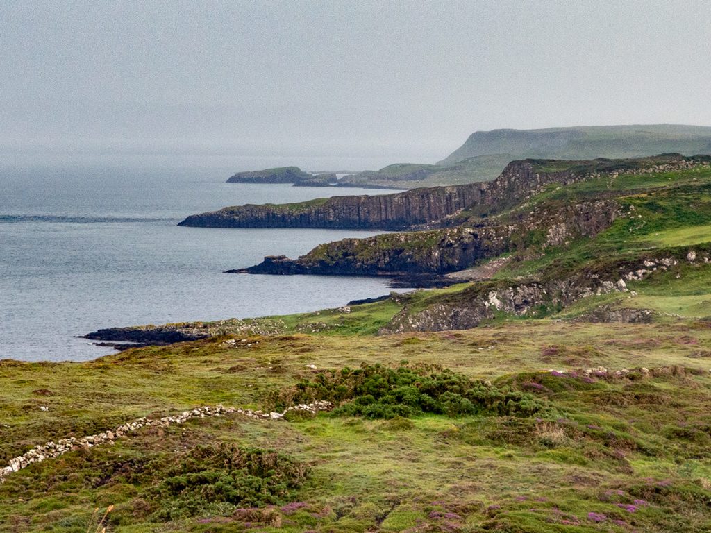
We arrived at the bay and caught a minibus that heads to the nature reserve and wildlife observation station at a the west lighthouse a few miles away. This overlooks many impressive cliffs that are home to many seabirds. The driver gave a great commentary as we wound our way along the small road.
Apart from the wildlife there, you can also have a look around the artefacts inside the lighthouse, and there’s a basic cafe too.
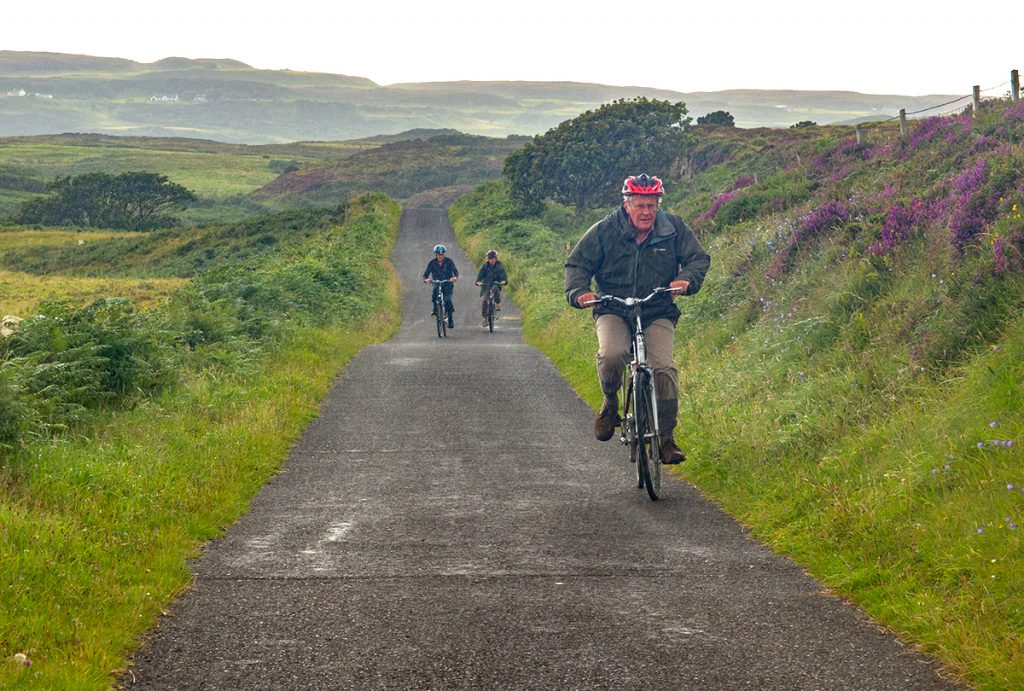
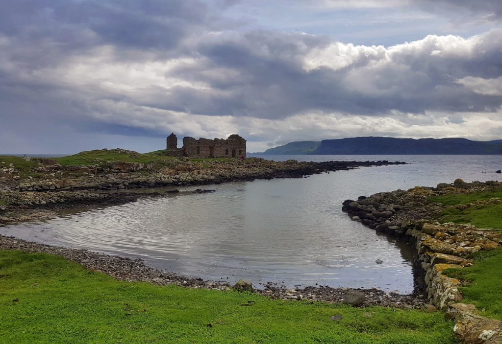
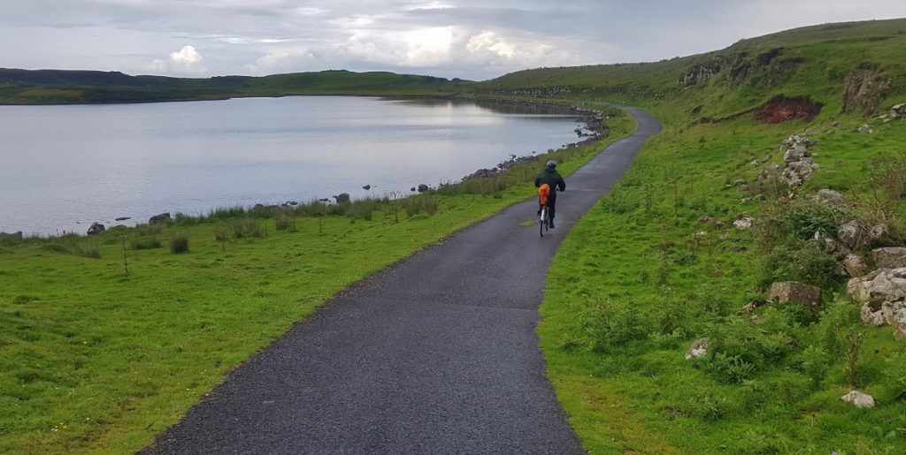
After heading back, we strolled around the bay to pick up hire bikes which we’d use to peruse down to the other end of the 6km long island. For some of us who hadn’t been on a bike in many years, the gentle undulating climbs as we headed to the southern tip worked up a bit of a sweat but for me it was very leisurely. Arriving at the end of the track, the clouds broke and rain swept across the bay
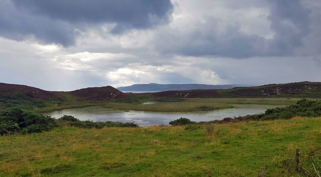
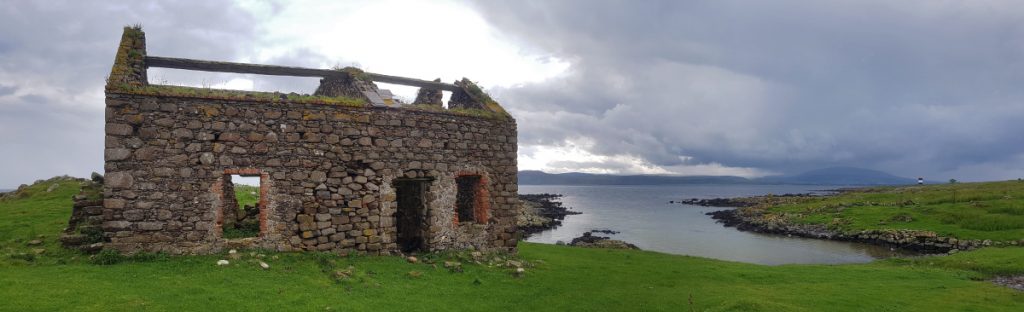
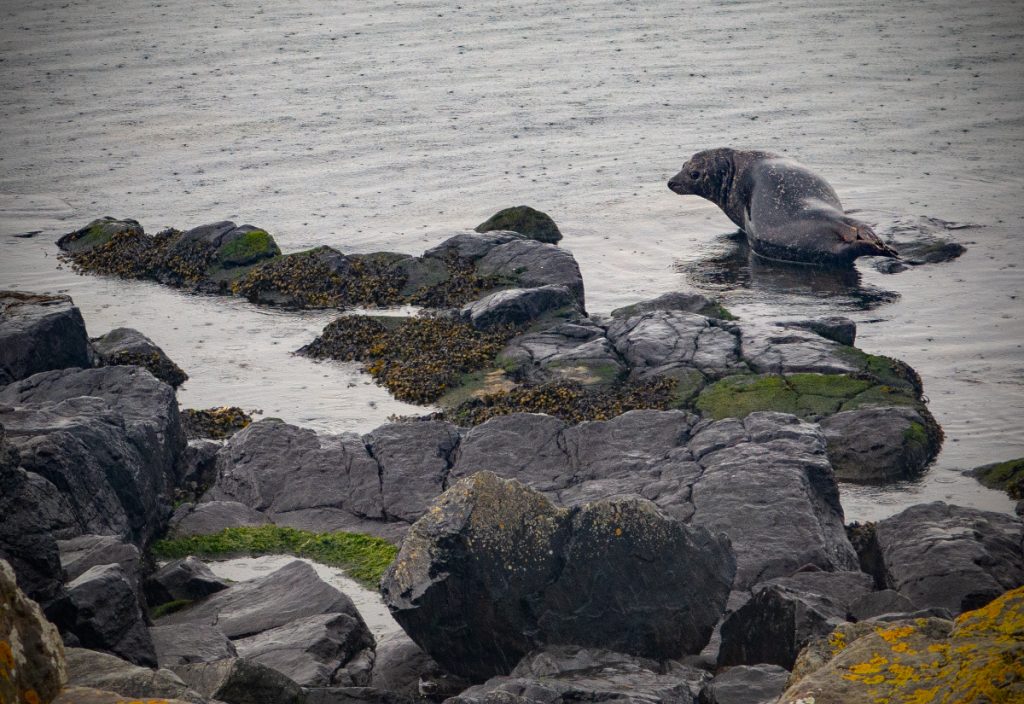
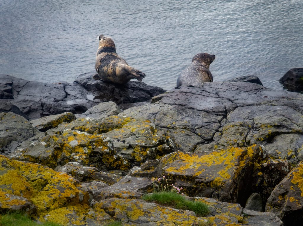
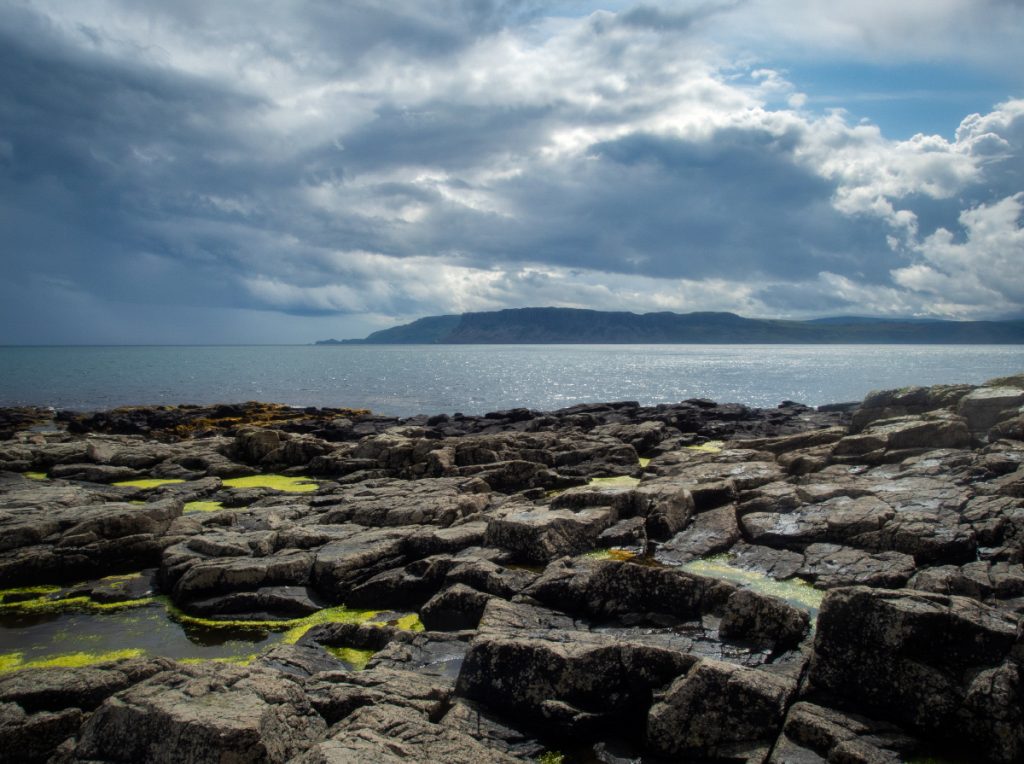
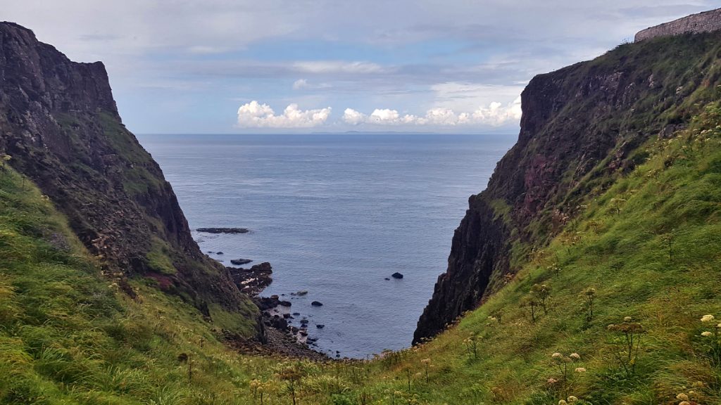
After sheltering in a ruin for a while and watching the nearby seals, we made our way onward on foot to Rue point, the most southern tip of the island
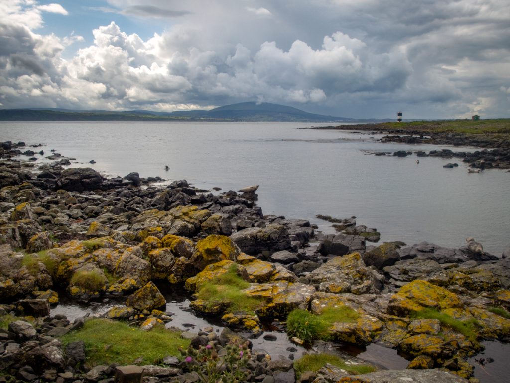
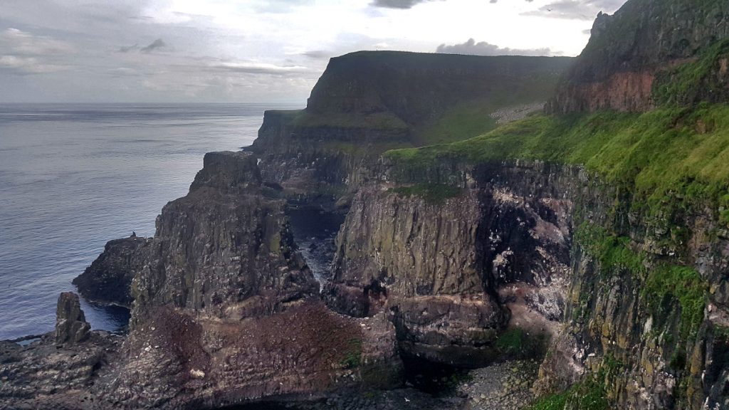
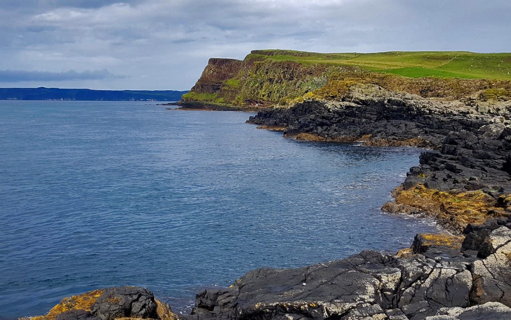
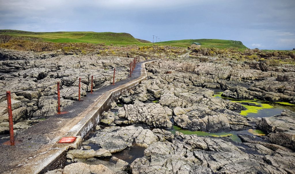
After pootling around the rocky pools and clefts (this is the lower part of the island without the high cliffs elsewhere) we made our way back to the bikes. The rest would drop the bikes off and head to the pub, but first I decided to extend my legs and head to Altacarry head on the north-east corner.
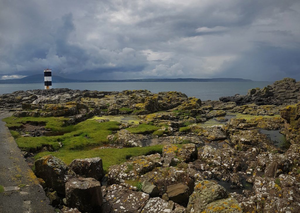
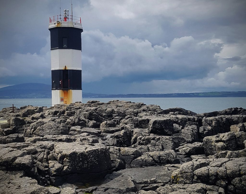
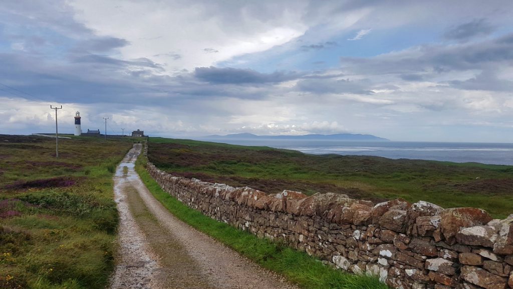
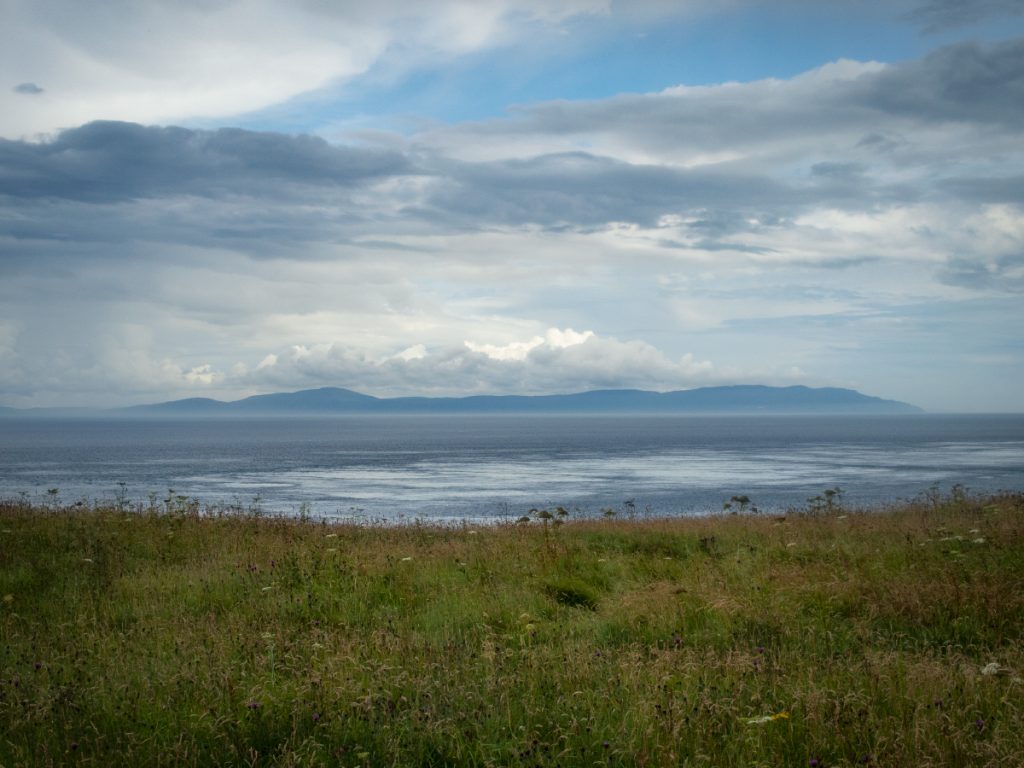
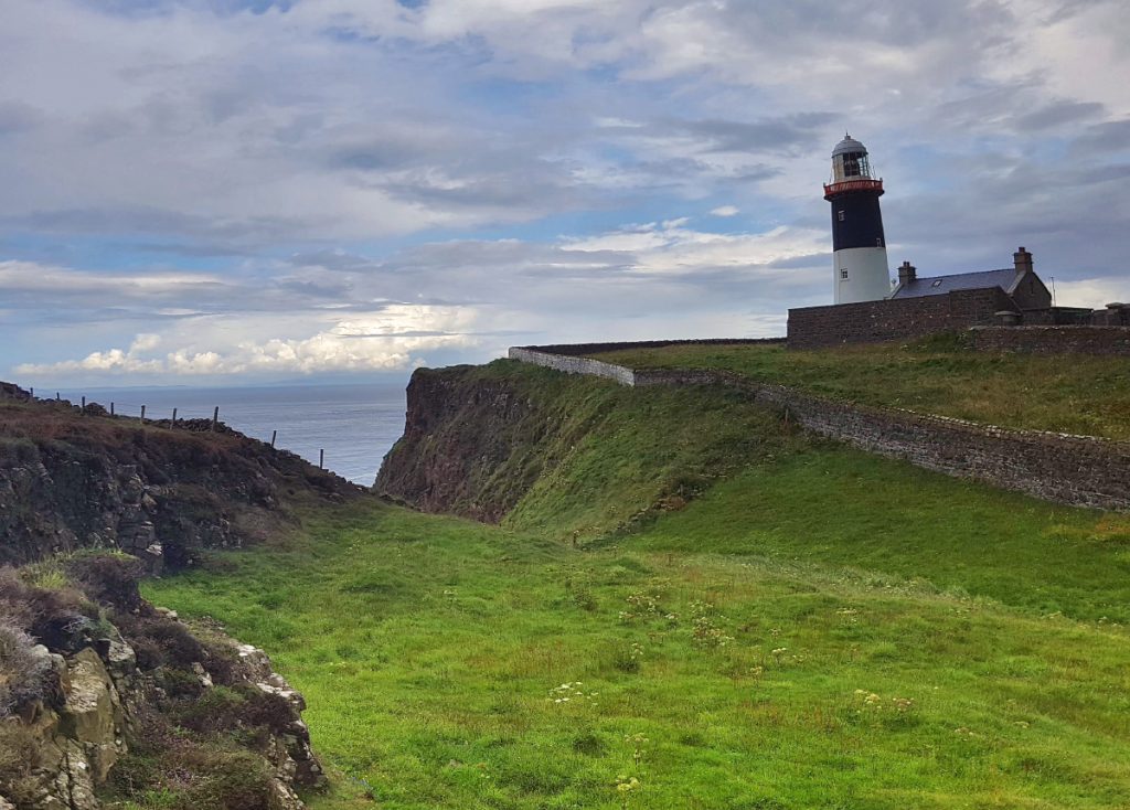
The oldest of the island’s lighthouse is here (1856) and is the closest point to Scotland (11 miles from the Mull of Kintyre), though you can’t get inside this one. It was the location of Marconi’s first commercial radio transmission, and is also above Bruce’s Cave, where Robert the Bruce resolved to try again.
I was interested to visit the cave, but hadn’t found much info on it. A brief look down the only accessible steep cove nearby (the rest being sheer cliffs) didn’t reveal an opening; to continue further would have been unsafe, on my own and without knowing the state of tides.
Further investigation afterwards reveals why: it’s only accessible via the sea, there’s another cave which is more likely the real location but only accessible with wading at a spring low tide. Fortunately an intrepid photographer Andy McInroy has been there, as well as many other difficult to reach sea-caves of the Antrim coast, his site is an excellent trove of exploration.
With the rain coming on, I decided to head back to the harbour and find a snug, and wound my way along the thin road until reaching the top of a steep slope down to the harbour-side, found the limitations of old and wet rim brakes as I skittered out of control, clanging through pot-holes and avoiding walkers, nonetheless unexpectedly claiming the KOM for a strava downhill segment.
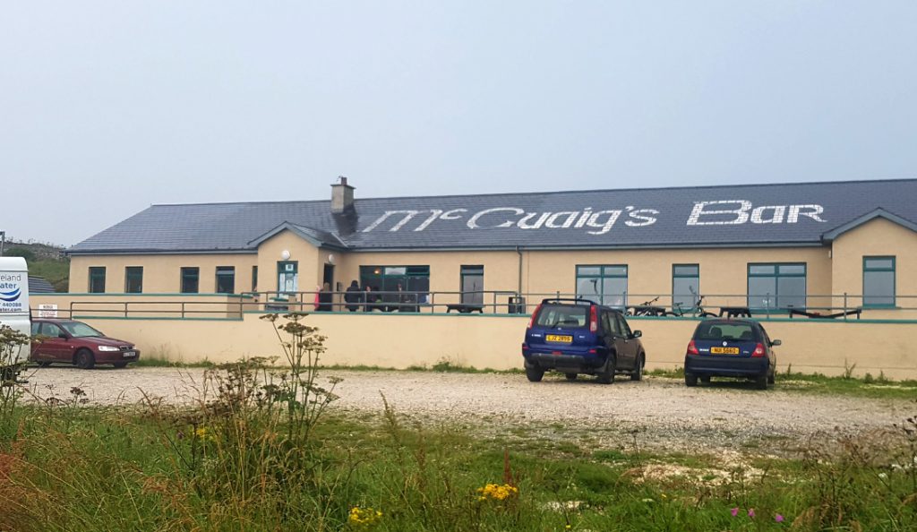
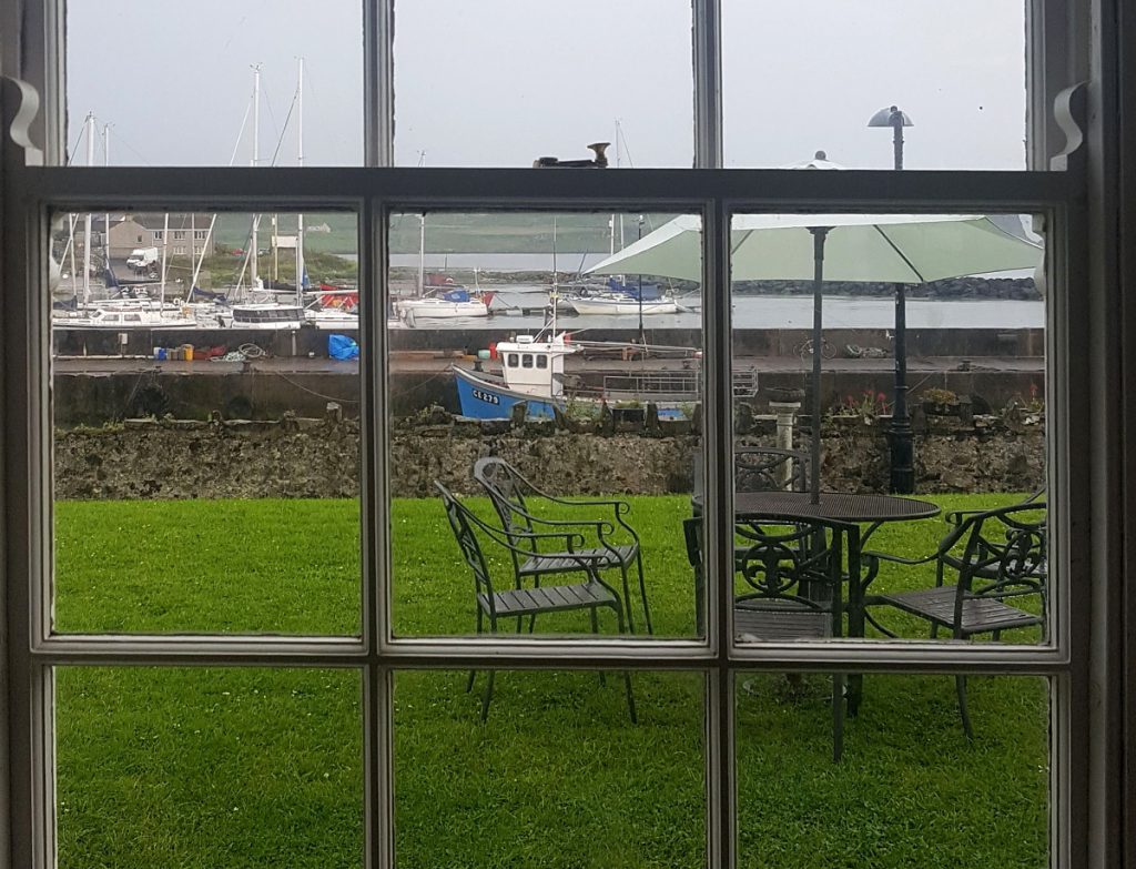
After dropping off the bike, I headed into the nearby McCuaig’s bar which was bursting at the seams, the craic was most definitely flowing here and they were doing a roaring trade – I suspect quite a few daytrippers end up here. The others had ended up in the Manor House, a more genteel affair beside the dock, and I made my way round before our boat left.
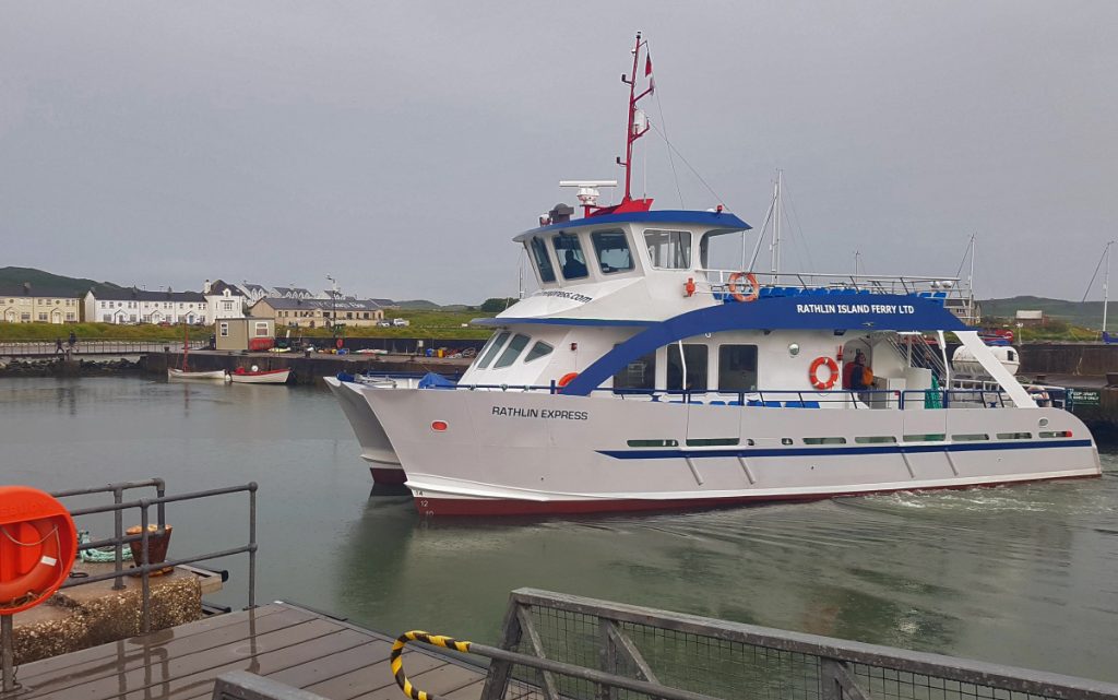
The boat back was packed with (many fairly merry) daytrippers, but no repeat dolphin stop. Back on land we made to the marine hotel for some fish n chips to round off a good day out. Tomorrow we’d return to walking, starting the Causeway Coast way.