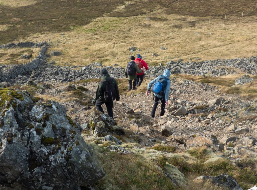
Out with the Cairngorm club to this “easy” Perthshire munro, there’d been some debate on the way down in the minibus on the walking route to take. I have a bit of “eye rolling” for trip organisers that lazily stick to the “walkhighlands” route (usually the path of least resistance) which may often be fine but there are often better options with a bit more excitement. I’d agreed with an alternative suggestion that does a traverse from Loch Turret, which is a bit further but gets a nice stroll along the loch and sees the rugged side of the hill versus the “tourist route” which is crowded and pretty samey all the way. The alternativeists fortunately won out and persuaded our driver to drop the main group off right up Glen Turret, before heading off with the other half doing the “easy” route.
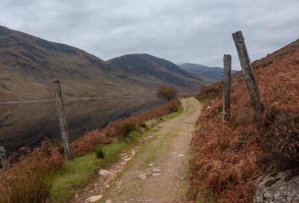
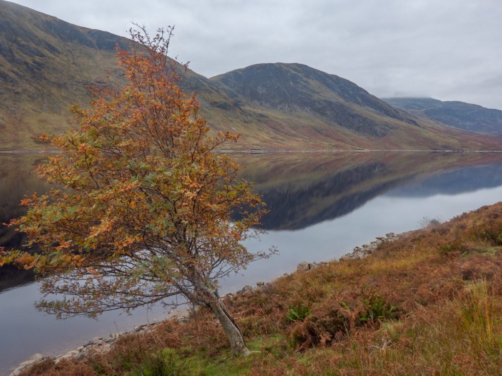
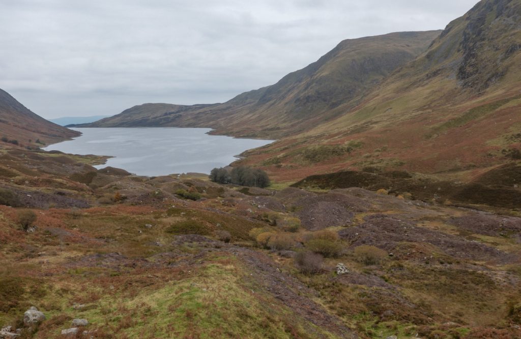
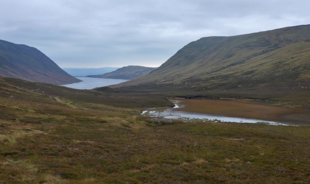
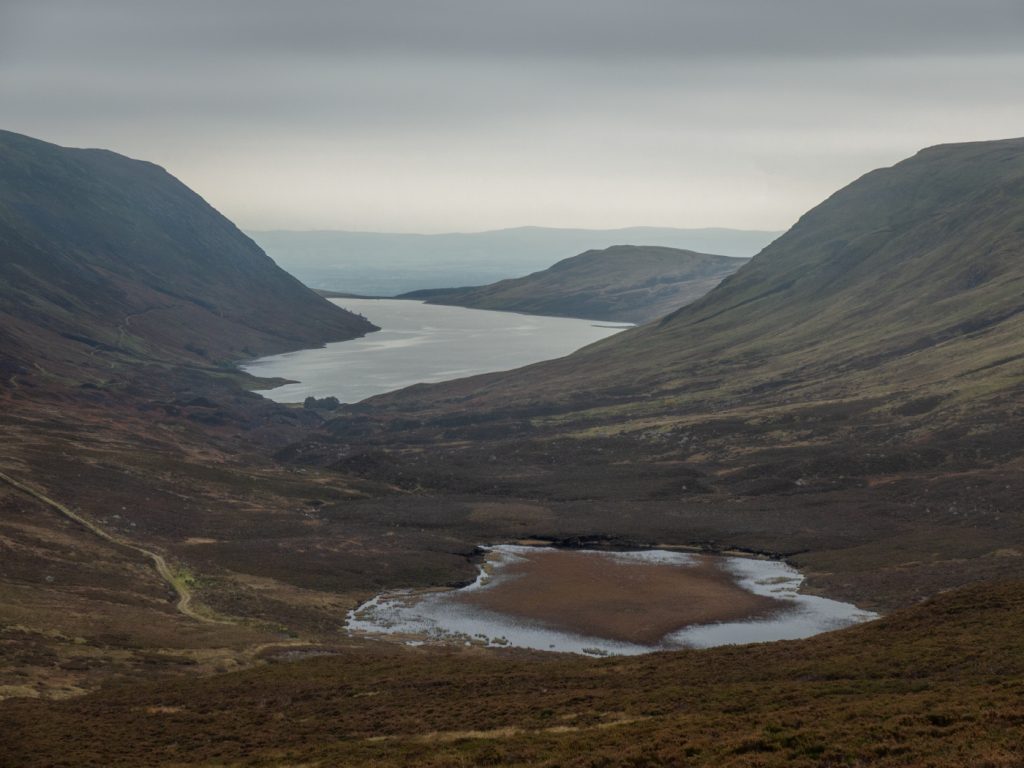
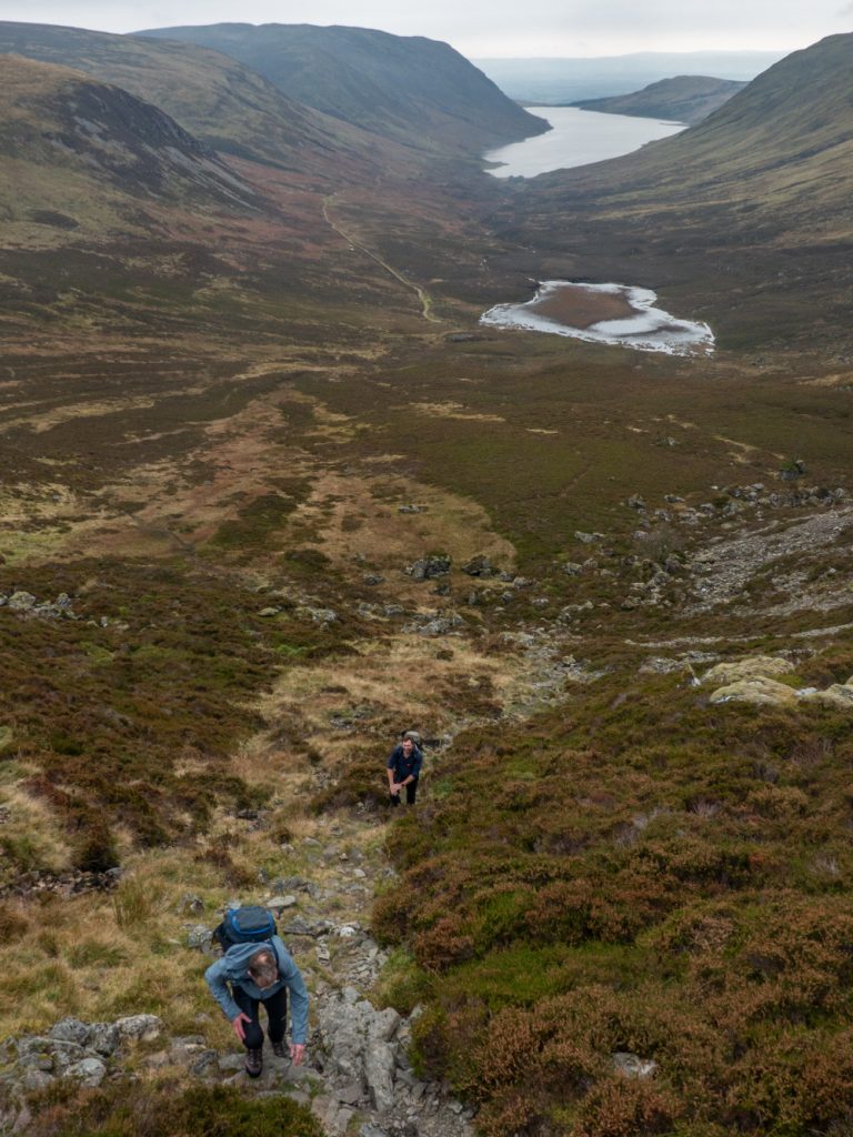
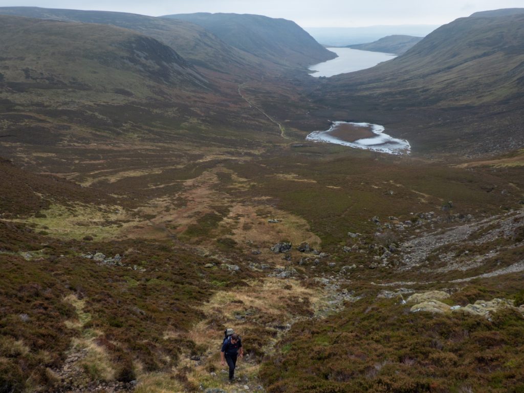
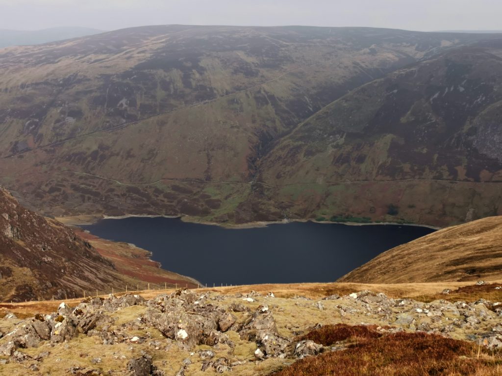
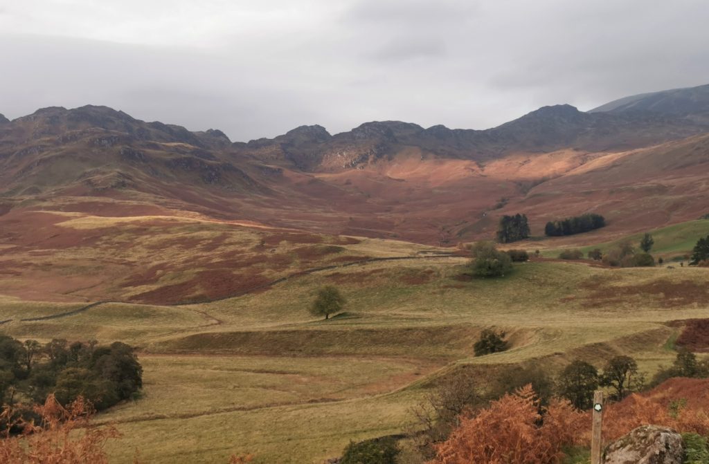
The loch was a shiny mirror due to being sheltered in the wind shadow of the hill, and there were a few lone trees and small stream waterfalls tumbling from above. Towards the end of the loch there’s a magnificent array of glacial hummocks, and standing on one of these was a good viewpoint back along the loch.
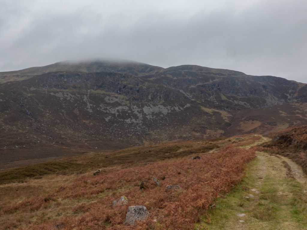
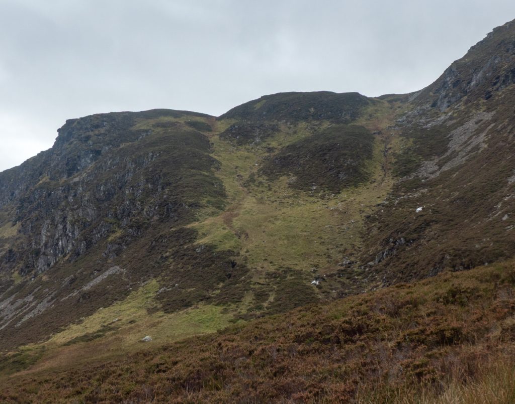
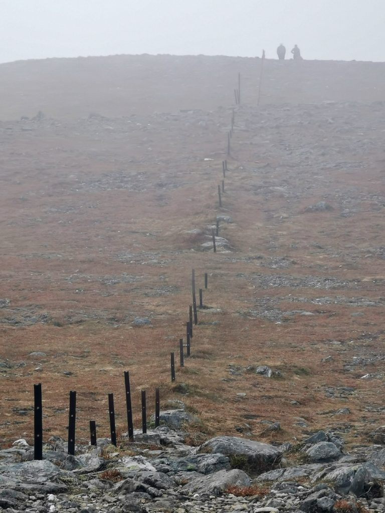
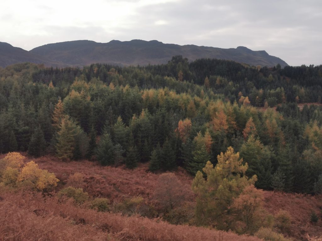
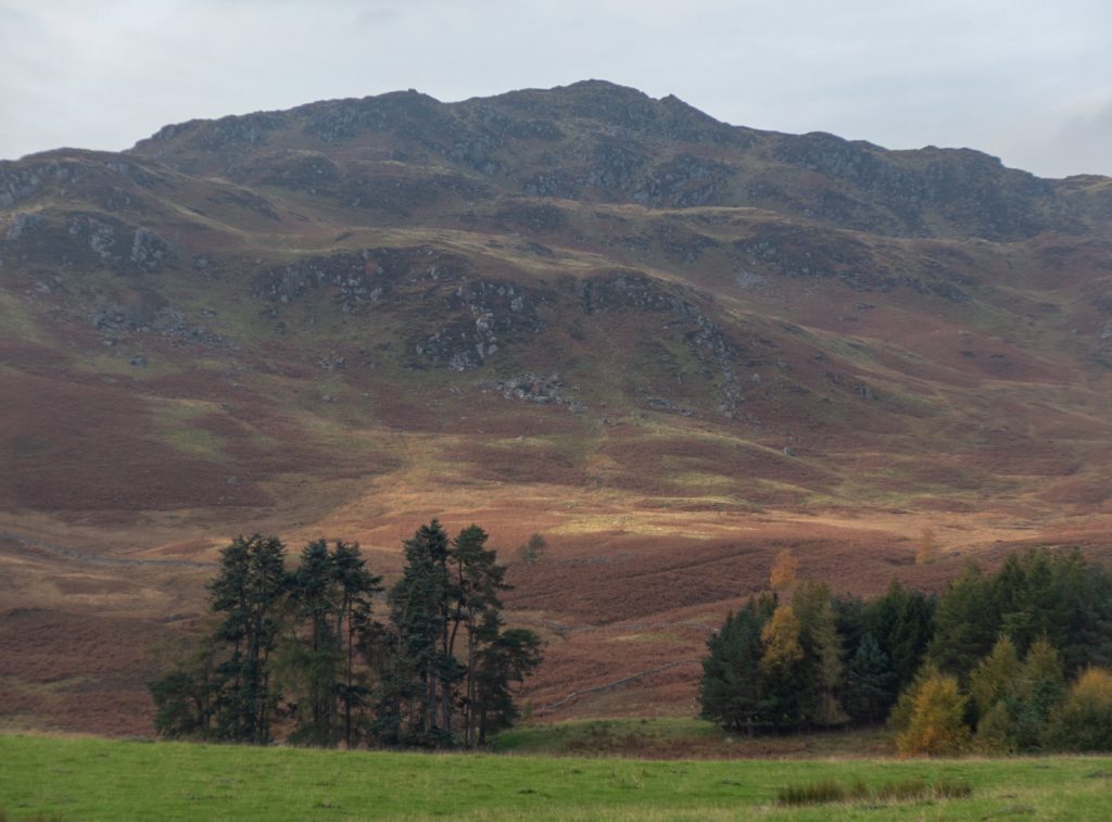
The forecast was for it to be quite windy, so we realised that we should stop here for a break while sheltered in the lee of the crags. We got some seats on a rocky outcrop with a view of Lochan Uaine (albeit looking more brown than green – Uaine). Although on the OS map there’s no path from here up to the plateau, strava heatmap shows some folk threading through ledges between crags – but on OSM map there’s a steep scratch of a path working up through bouldery terrain, and heatmaps shows this is the main way to go.
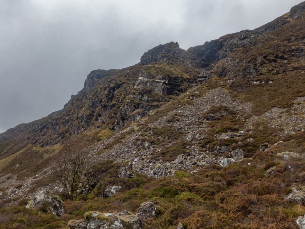
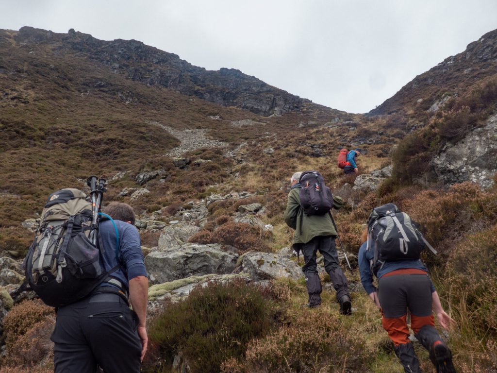
As we got a bit higher and looked back at another potential route discussed on the bus (ascend early from the loch and then high along various hilltops) could be seen – it looked more difficult than on the map, so we thought the lochside choice was indeed the best.
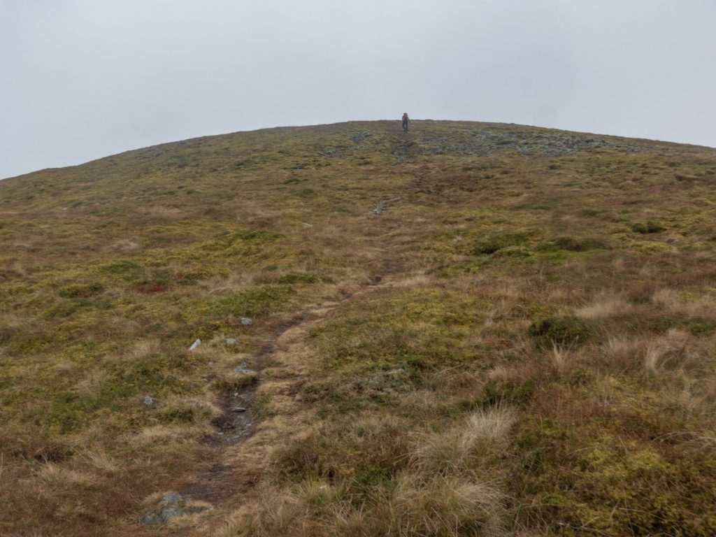
Once out of the Bealach, the gently rolling plateau was reached and sure enough the wind rose and the visibility dropped as we made for the top.
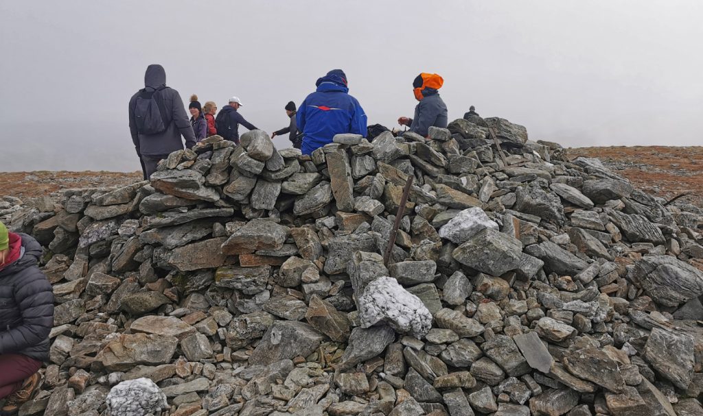
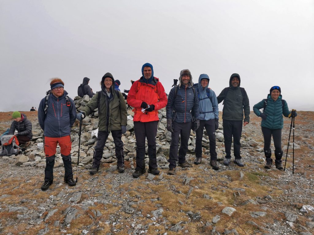
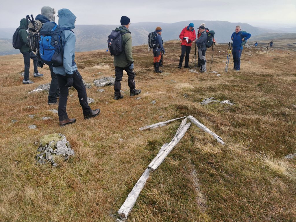
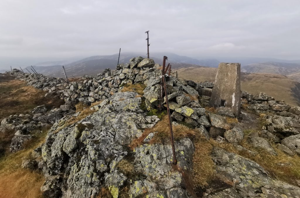
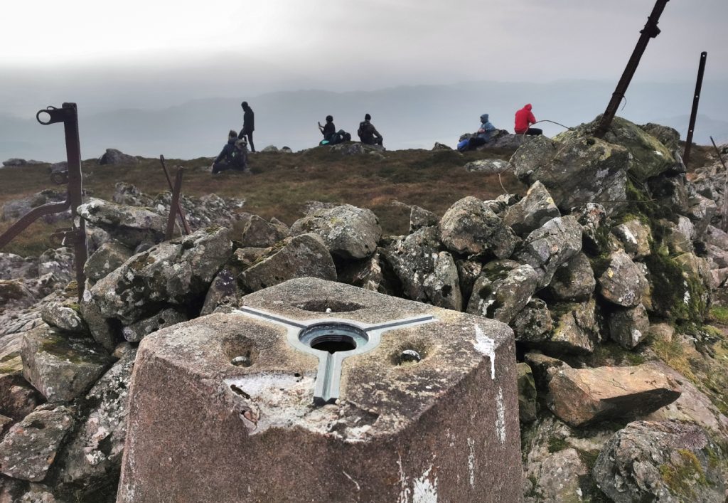
We soon reached the top which has a bit of a shelter but was very busy with “alltrails n trainers” masses, some barely equipped for the conditions. Being an easy munro within reach of the central belt, one forgets when around the Cairngorms how busy hills can be near cities, and the general level of naivety that is seen there. It was pretty chilly so we were glad we’d eaten earlier and made onward after a short break.
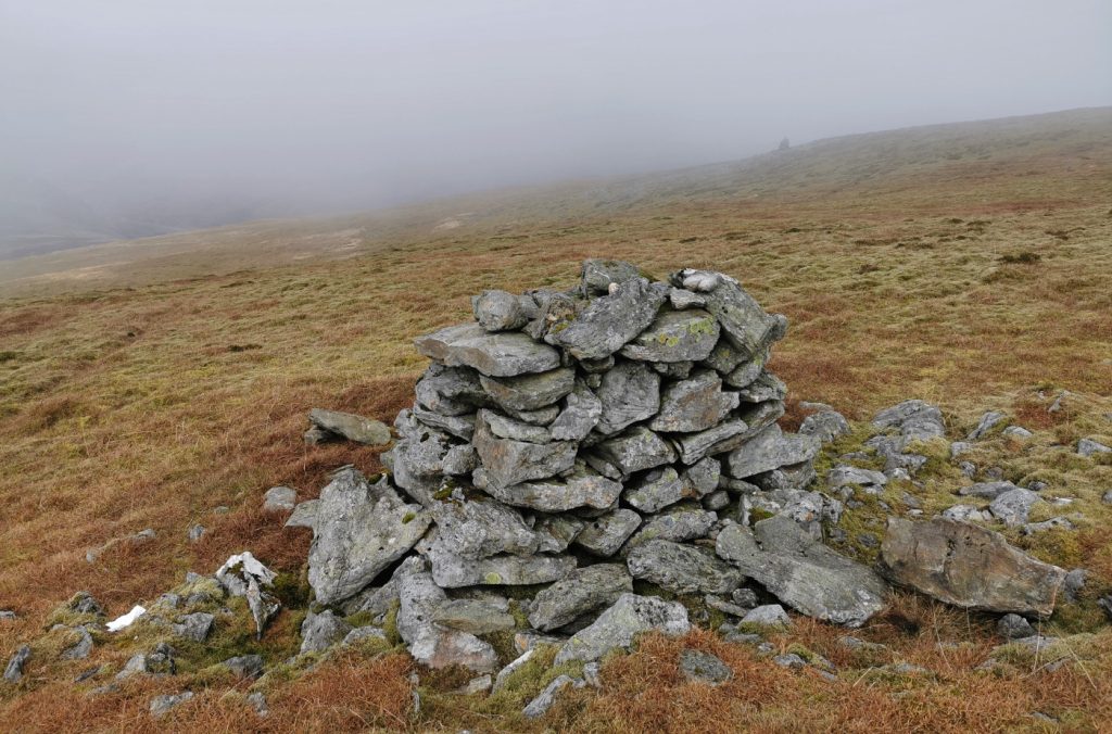
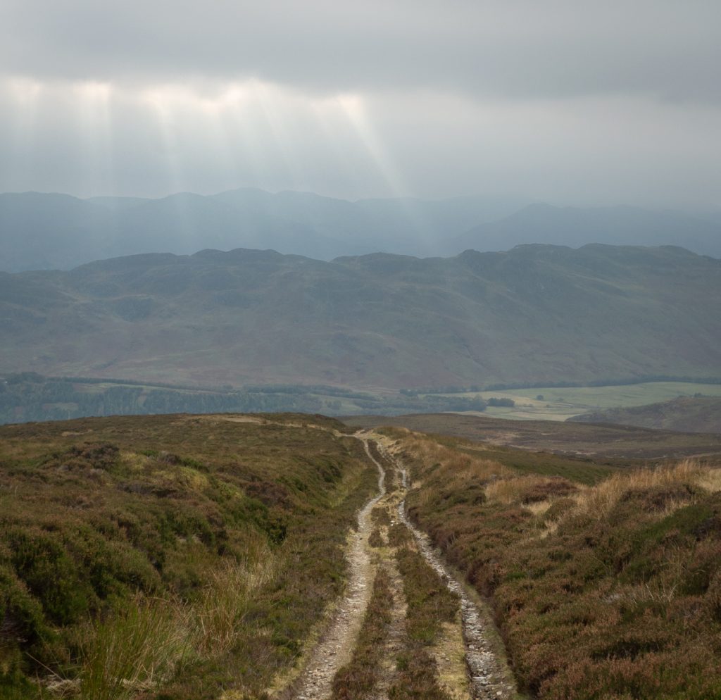
The old fence line turns south east and as we made our way along bumped into the other half of our club. Realising they were travelling slower and us and would take a while to get to the top and down, we decided rather than the direct descent we’d push on a bit further – we could see a rocky outcrop a couple miles yonder – Carn Chois
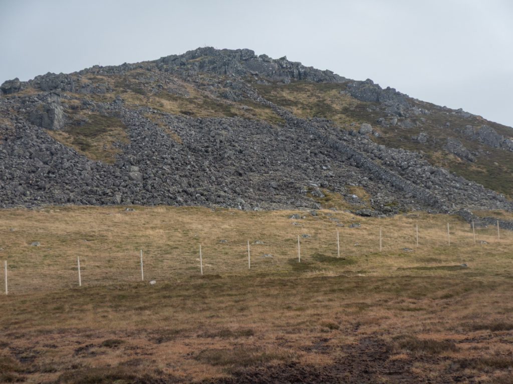
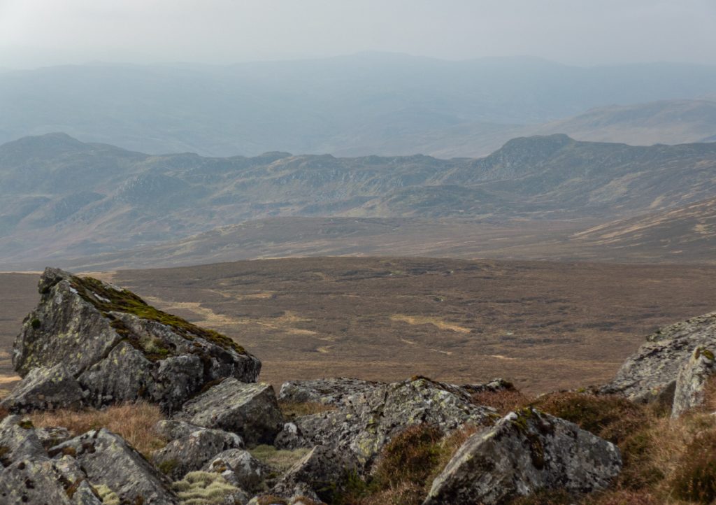
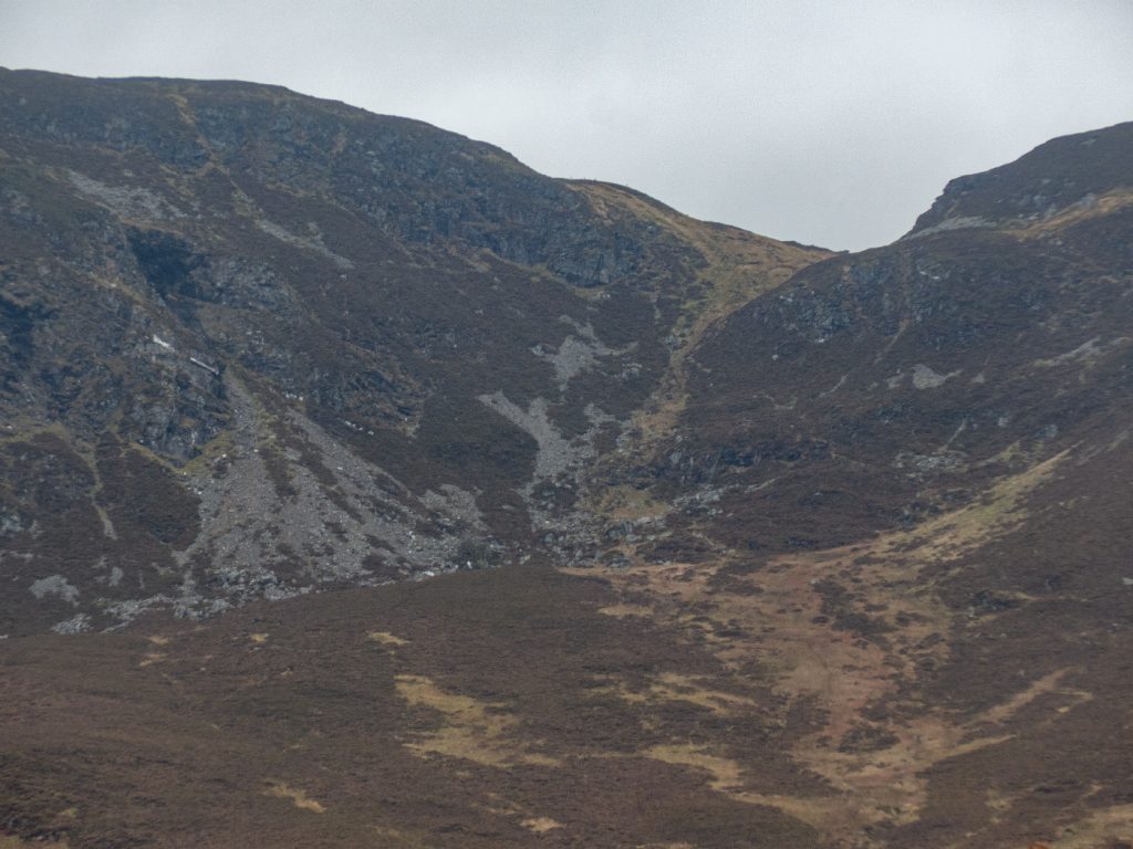
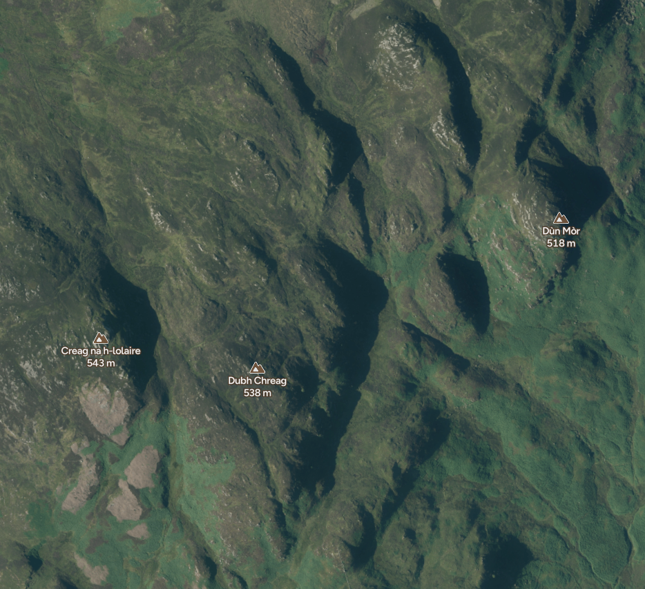
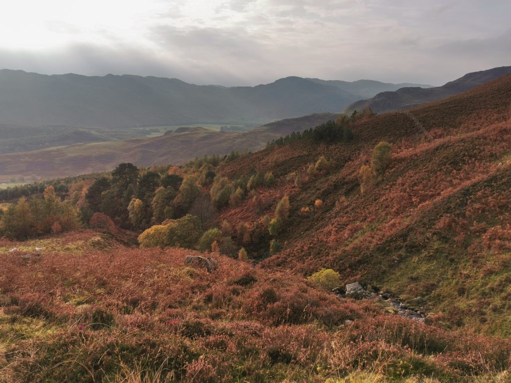
From the top of Carn Chois I could see an interesting ridge of rocky terrain west – starting at Coire Riabhach, then down through Meall Reamhar, Dun Mor, Dubh Creag, Creag na h-iolaire and some other lumps and knolls. Looking on the 1:25k map, it’s a complex rummage of terrain – but being from 400m – 600m and lying between two regular routes to the munro heights I doubt they are “categorised” and get much visitation; but there’s action to be had there no doubt though.
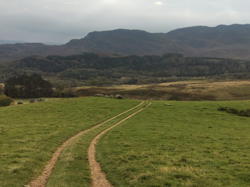
Sat at the top, we checked the map and decided to take a short-cut to join a descent path that eventually joins the Carroglen Burn . In reality, we thrunged through deep heather and there was no sign of the path – if we’d checked a heatmap this would have been evident that nobody goes where we were, instead heading down from the 668 point and joining a landrover track. We contoured over to that eventually, but had now were behind schedule.
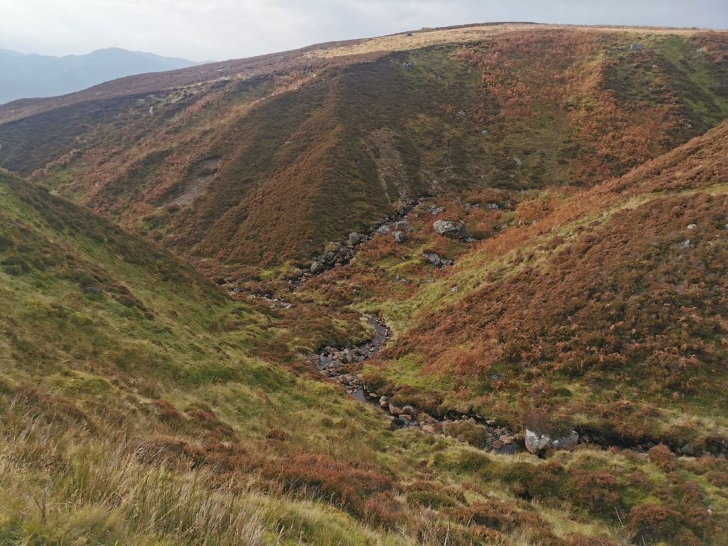
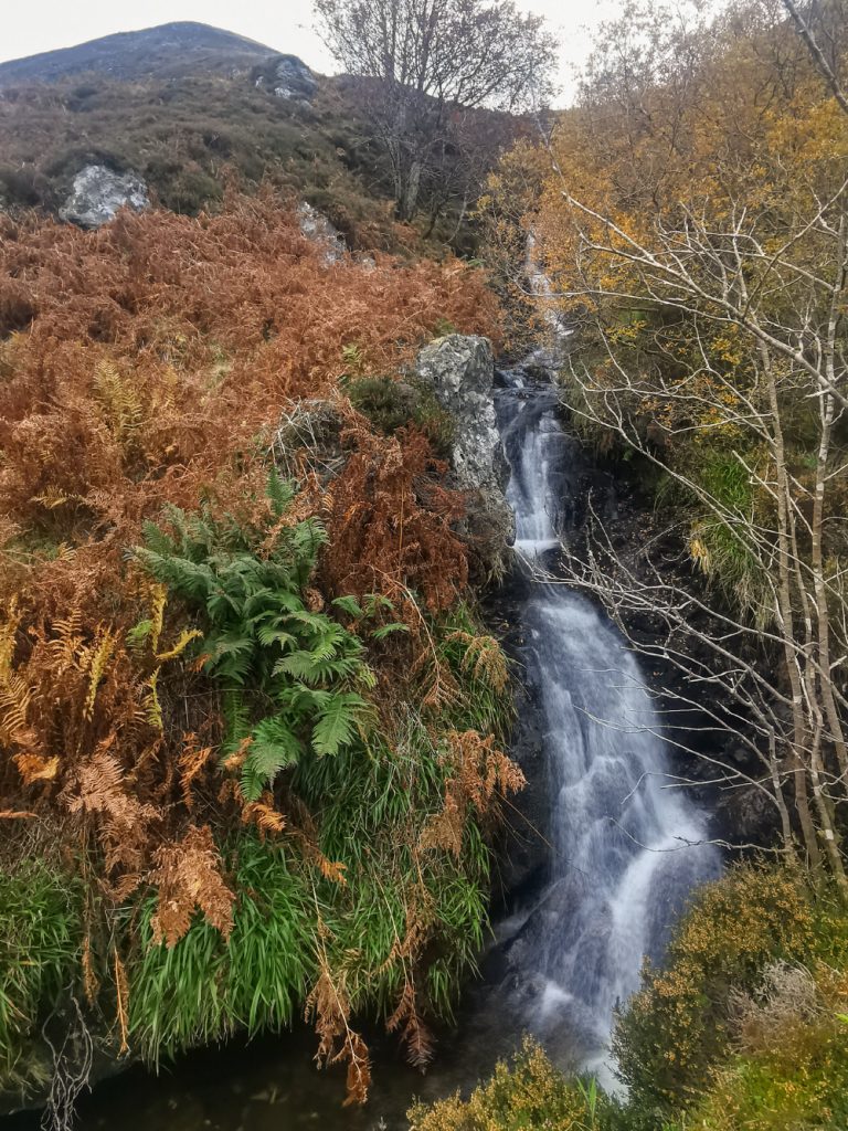
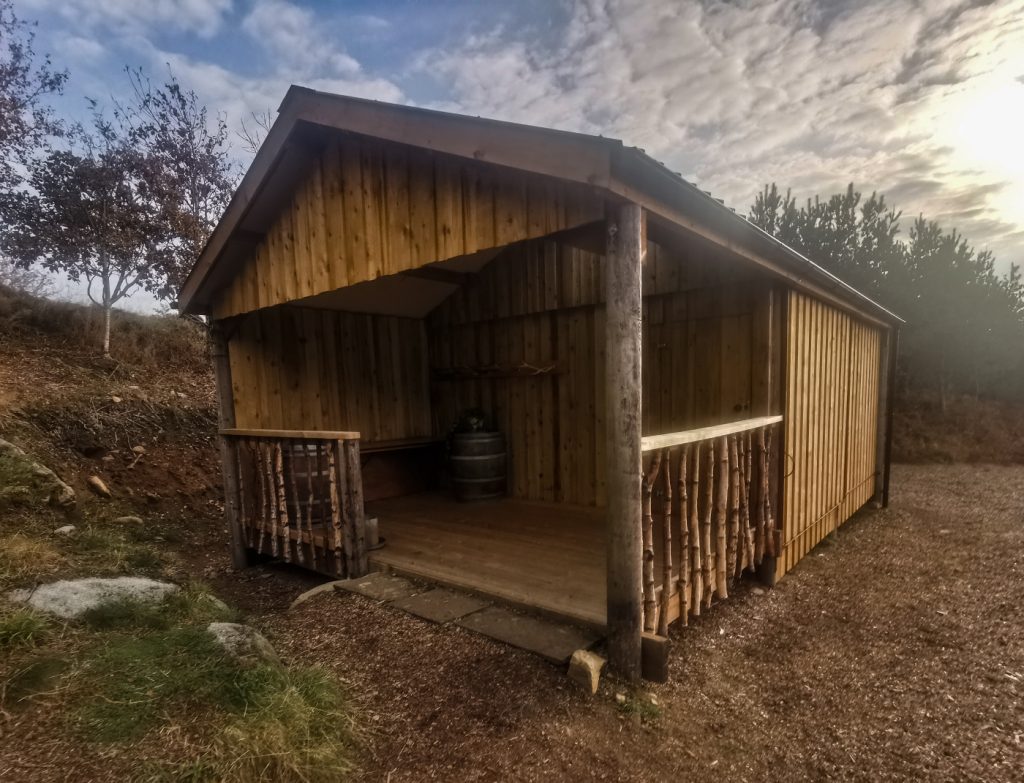
I noticed the map had a copse of woods with waterfall marked on it, and I jumped a fence to leave the track and explore. There was a wee hut there, probably for shooters. The burn goes into a deep gorge – the bottom of the waterfall wasn’t approachable safely – a long rope or a scramble up the burn from way downstream would be needed. There are no photos of it online anywhere, so presumably difficult to reach from below too.
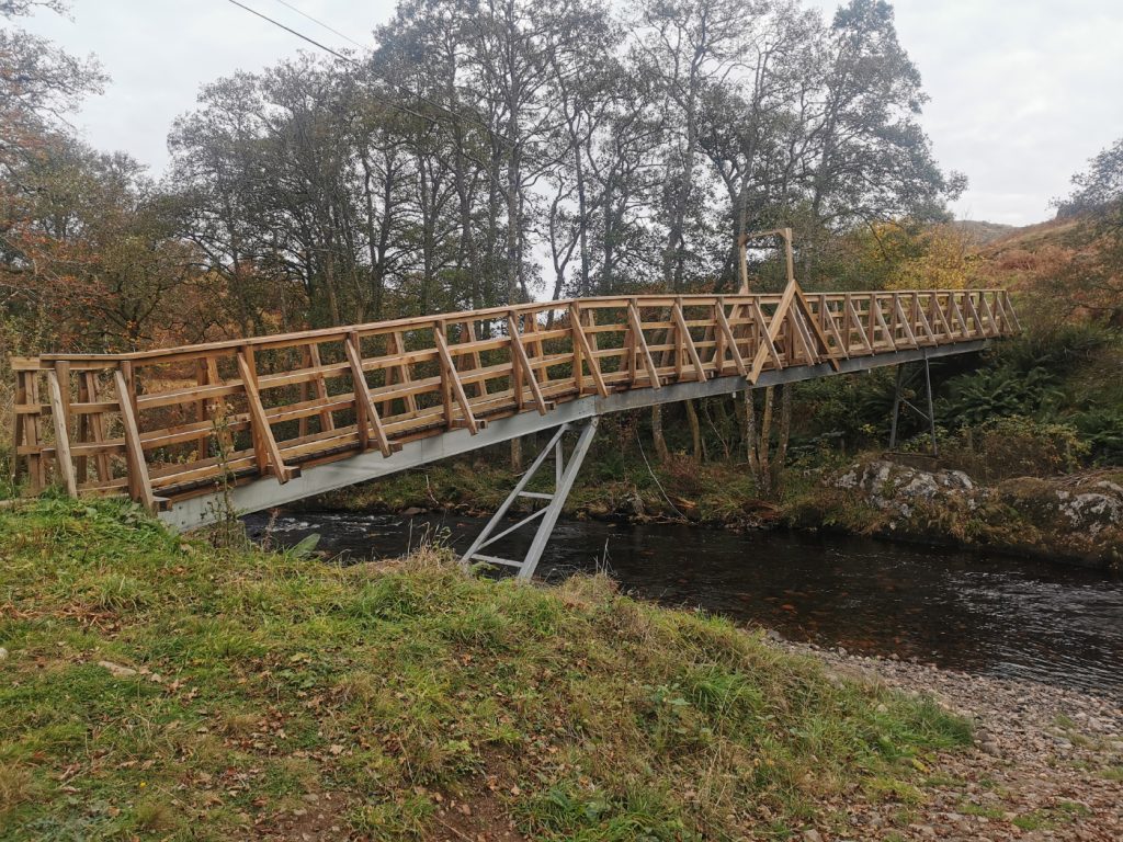
The plan had been to cross the Carroglen Burn and head west to where the minibus had parked at Glen Lednock, but the map wasn’t clear with regards a bridge, and we couldn’t see due to foliage and contours, so we continued to head down to the south [subsequent heatmap check: there is a bridge and a path and the OS map is wrong, OSM was also wrong now corrected]
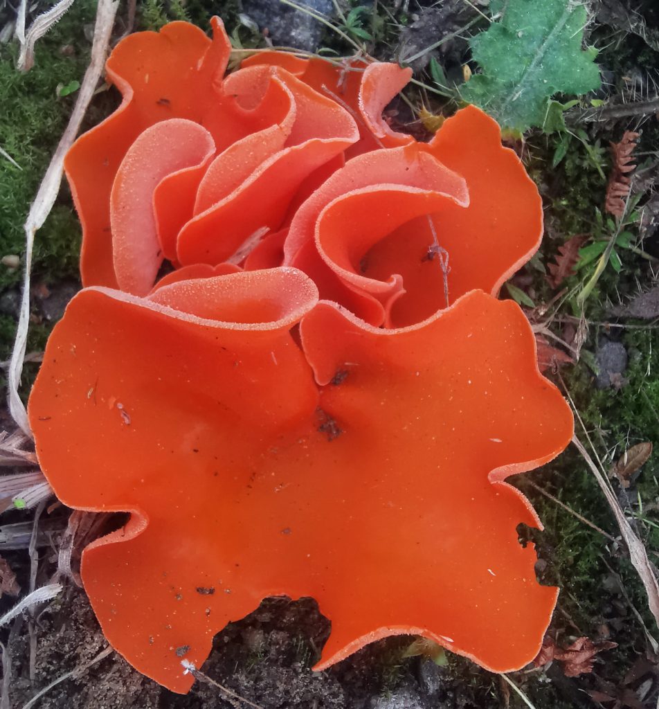
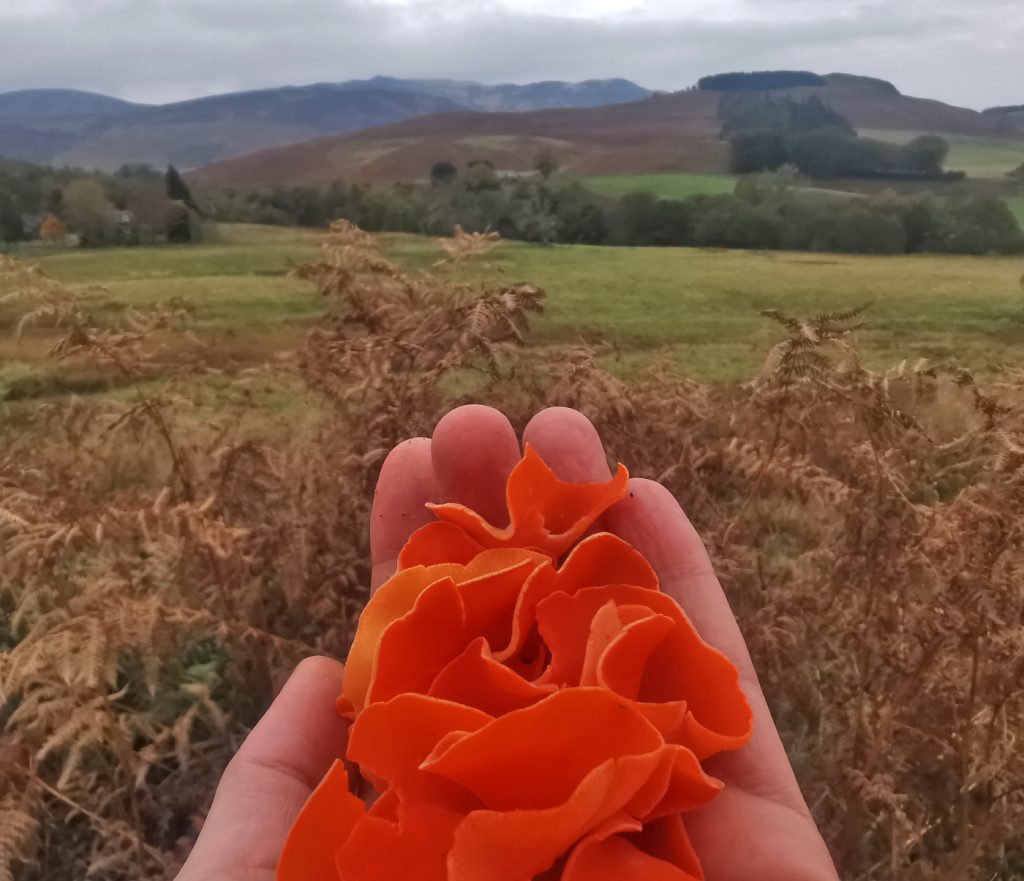
Reaching the road to Glen Lednock we managed to make contact with the other party, saving us a long trudge on tarmac, they’d drive along to us. I had a poke around for mushrooms finding this fine specimen of orange peel mushroom.
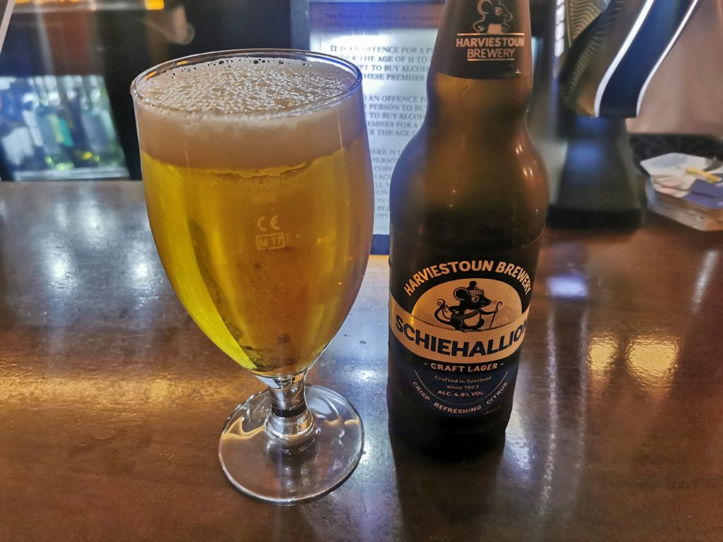
All in all, the choice to not take the easy route option made the day out for a munro not renowned as a very exciting one, a more worthwhile trip. It’s always worthwhile putting a bit more effort into researching options before heading out. To round off the day, we had a good pub stop in Crieff before heading back up the road.