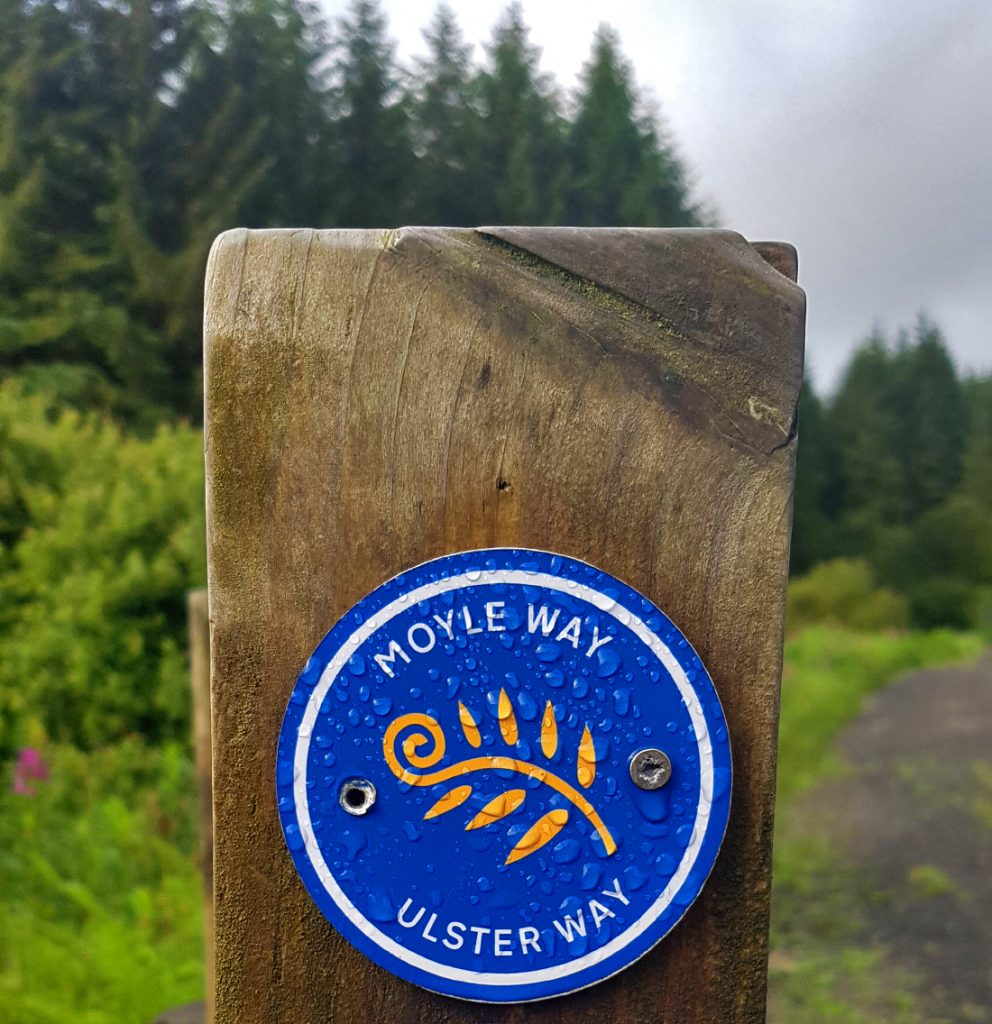
My second holiday of the year was my first ever visit to Ireland, with the first part being the Moyle Way, which crosses 26 miles of County Antrim in Northern Ireland.
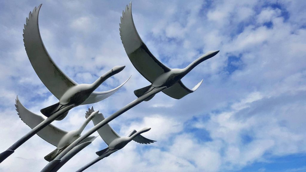
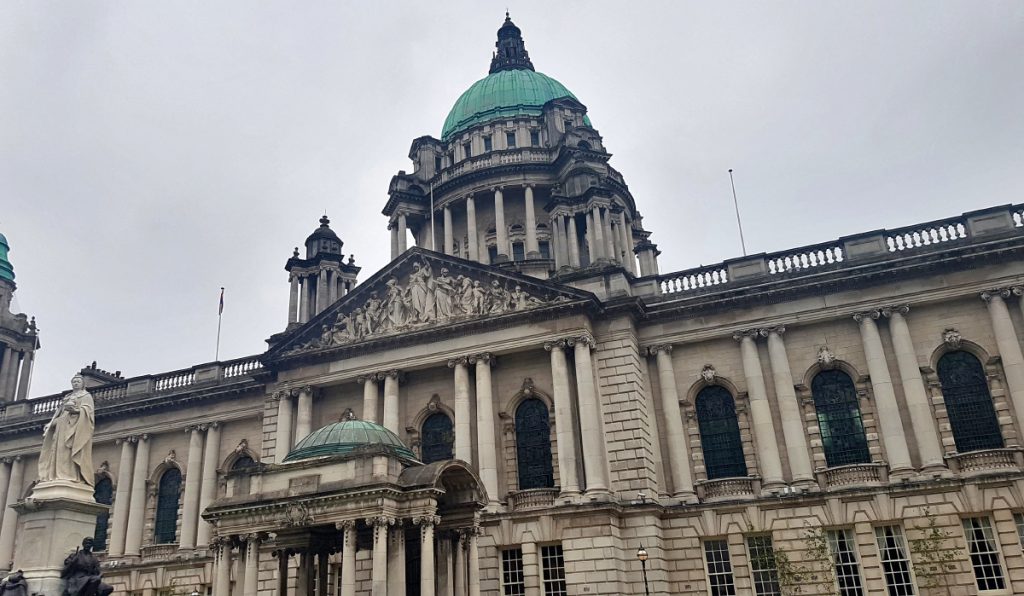
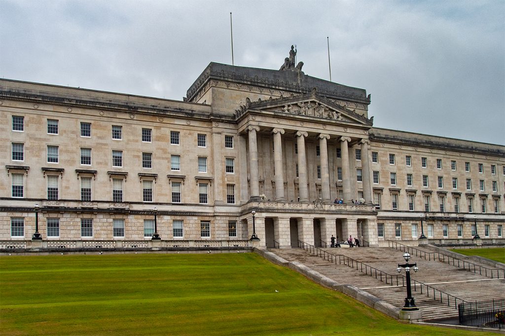
After our flight from Aberdeen to Belfast, we had a few hours to kill before heading on to our base in the countryside, so opted for a bus tour of the city, which was very worthwhile. It went past the docks where the titanic was built and HMS Caroline still resides, to Stormont there the parliament is, and estates on both sides of the troubles, with many flags and murals. Clearly their polarised identities are very much still alive, and although little is reported of ongoing trouble in the UK media, while we were there local news featured a few incidents. To do Belfast justice I think I’d need a full day or two to explore, but we had to head out to Cushendall a small village 40 miles to the North.
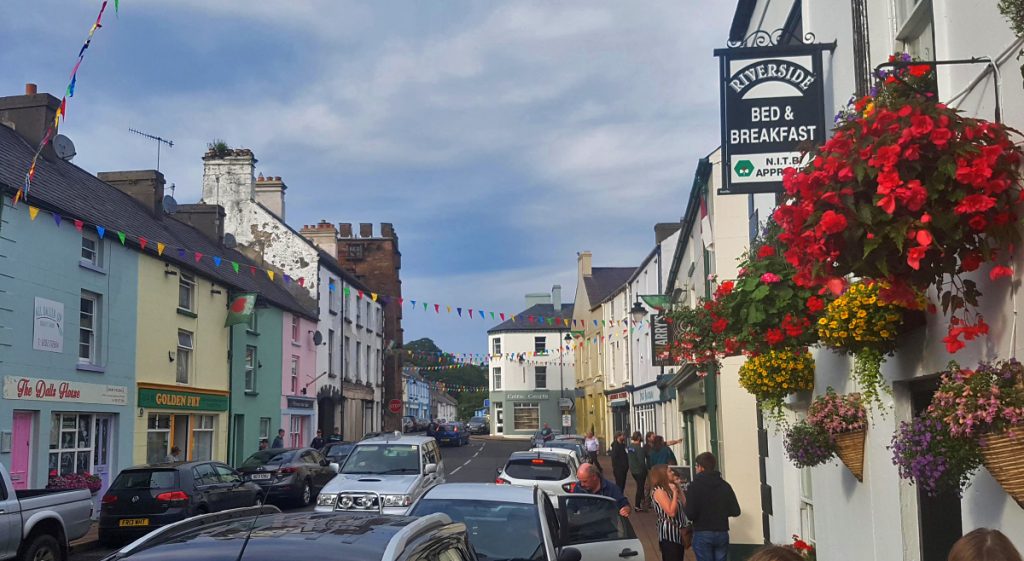
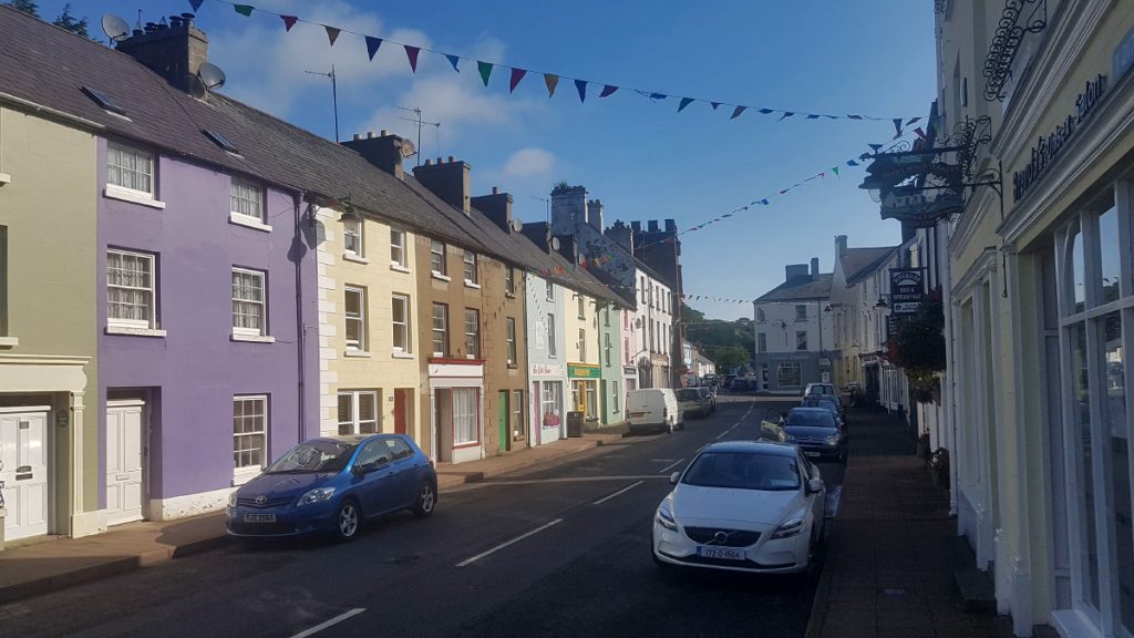
Arriving (only just, our taxi conked out and fortunately managed to coast the last mile downhill into the valley) and unpacked, I quickly set out on a run to explore the surrounds. The village was looking lively as their annual Heart of the Glens festival was on.
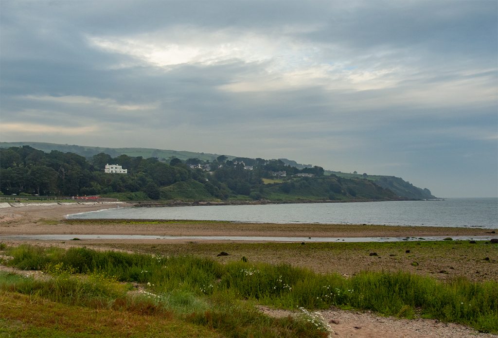
I headed out past the beach then along the coast north.
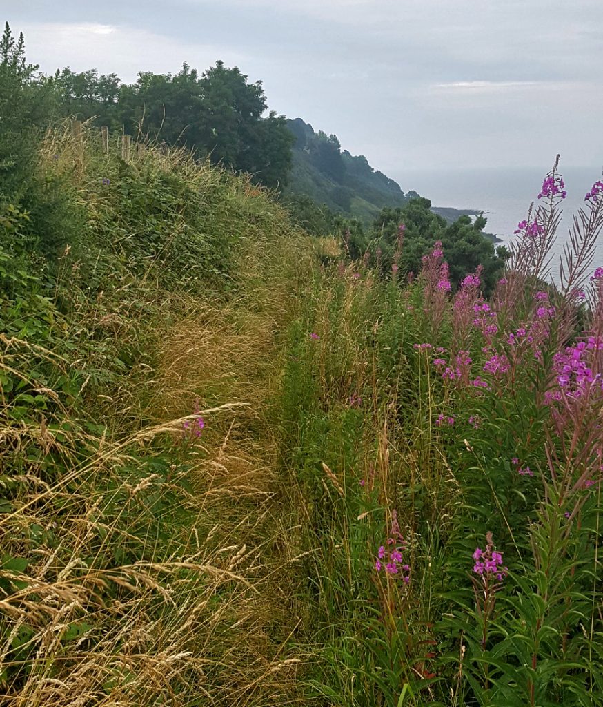
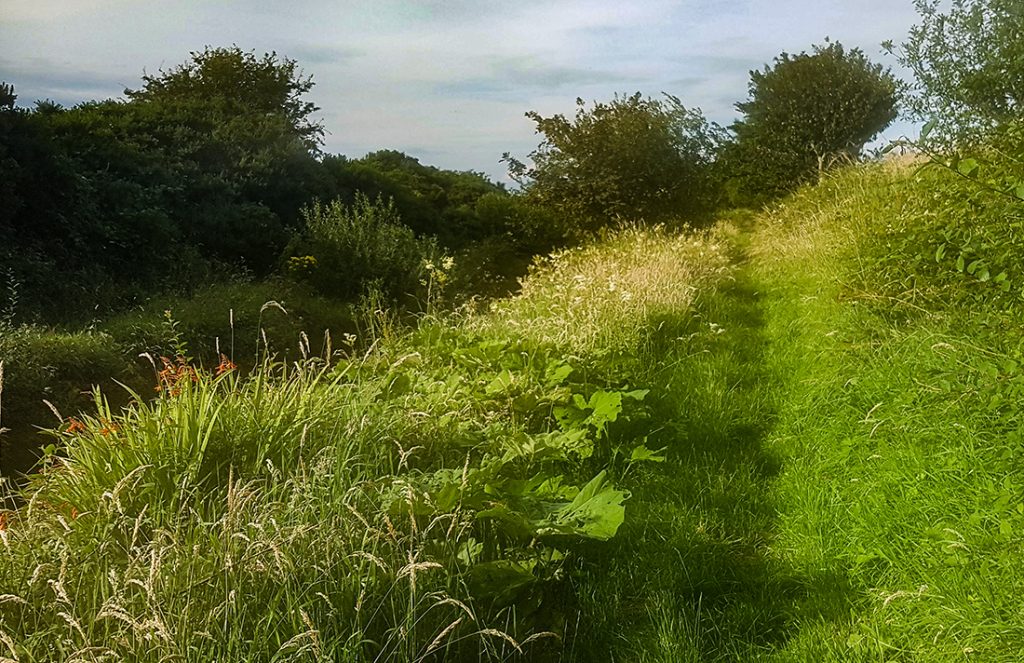
Initially the trail is good, but begins to get overgrown as it climbs higher. There’s a section fenced off (but passable) where there’s been a bit of collapse but safe enough to continue
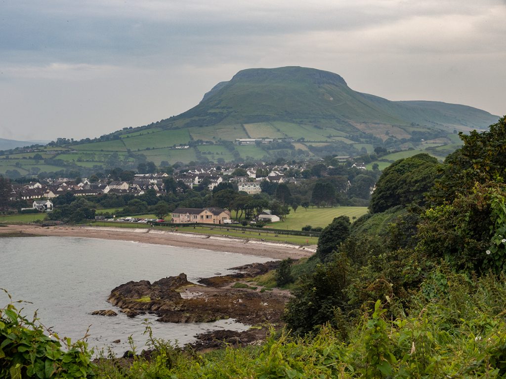
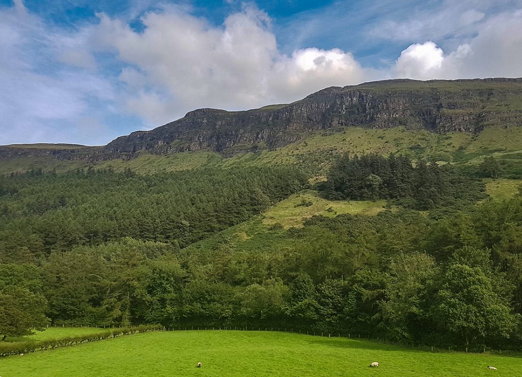
Looking back , a cracking view of the square-topped Lurig hill which overlooks Cushendall. There’s a hill race up it at the end of the festival, but I’d have moved on by then (and it sells out well in advance)
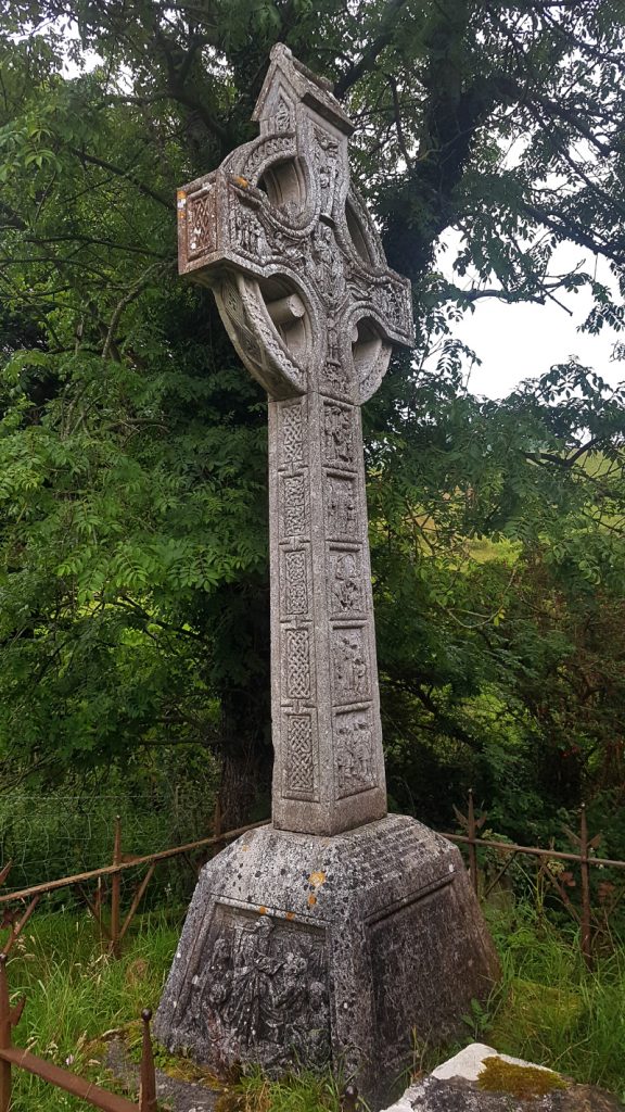
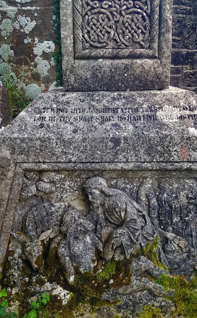
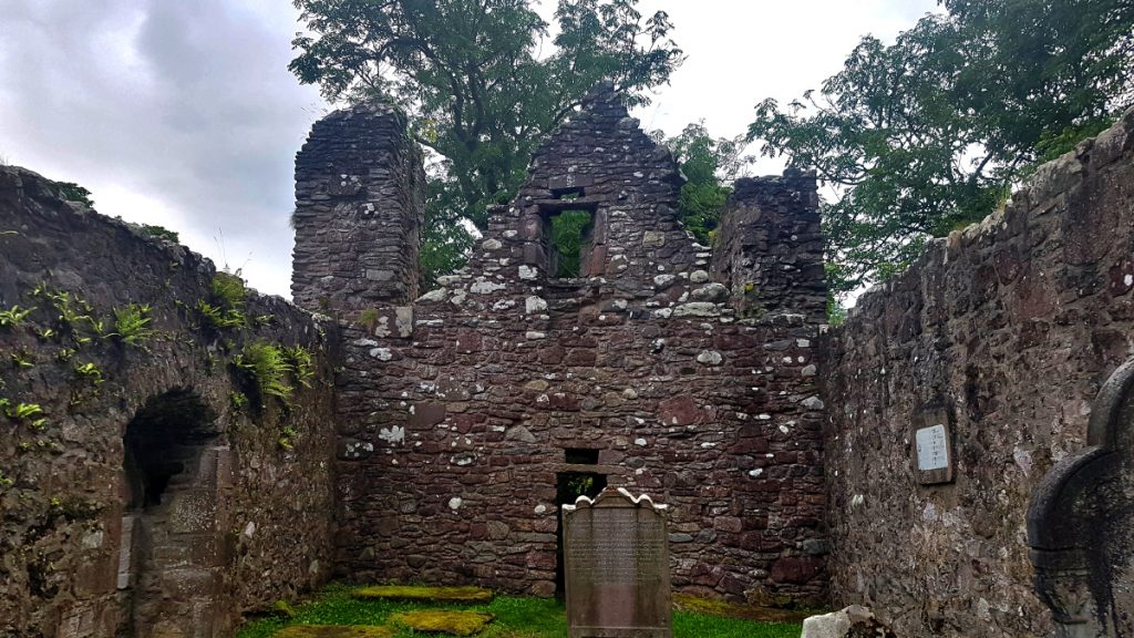
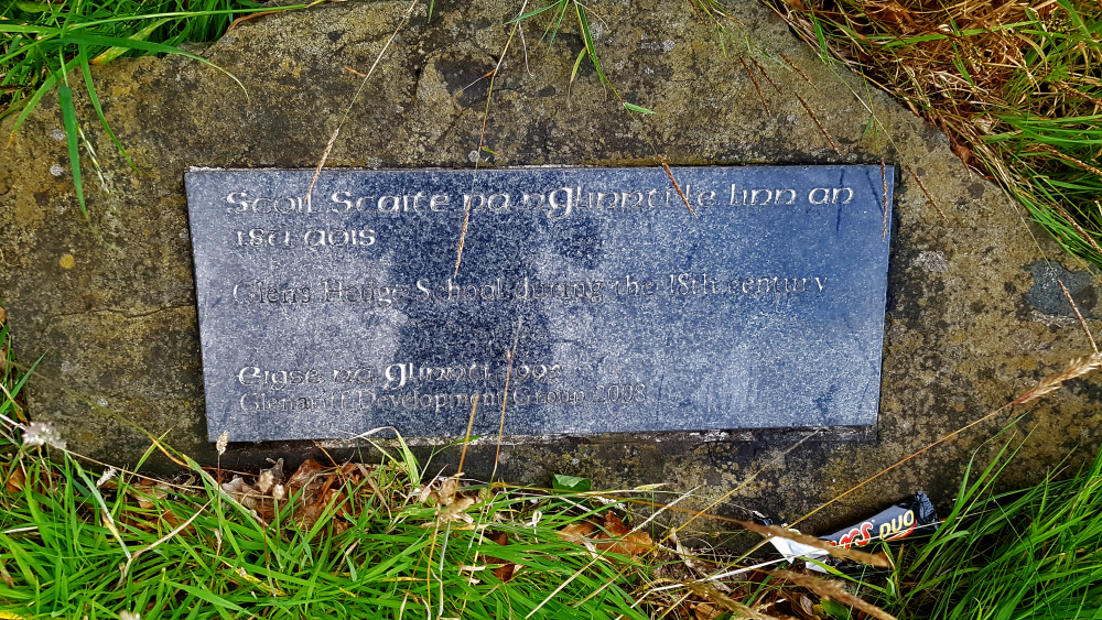
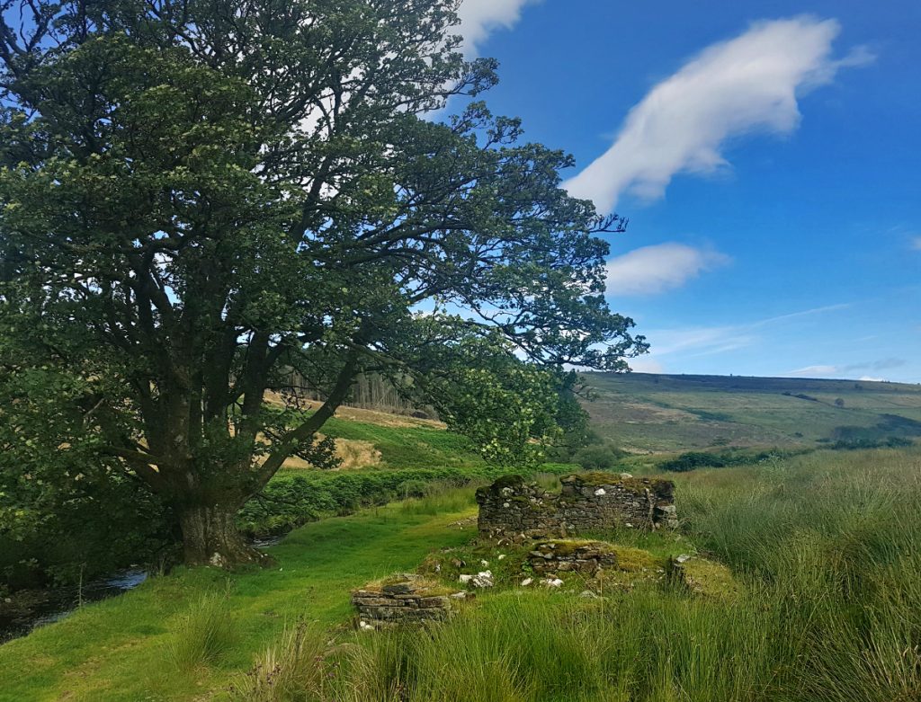
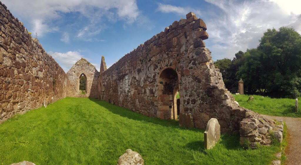
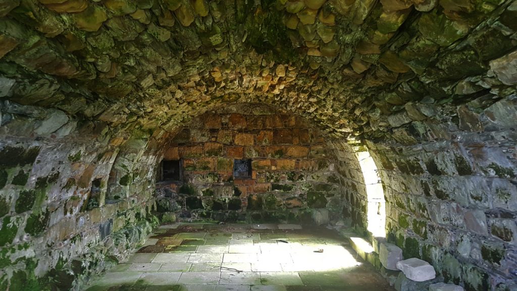
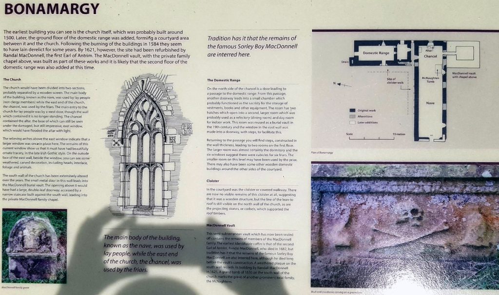
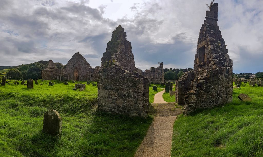
After a couple km, I reached Layd Churchyard, dating back to the 13th century.
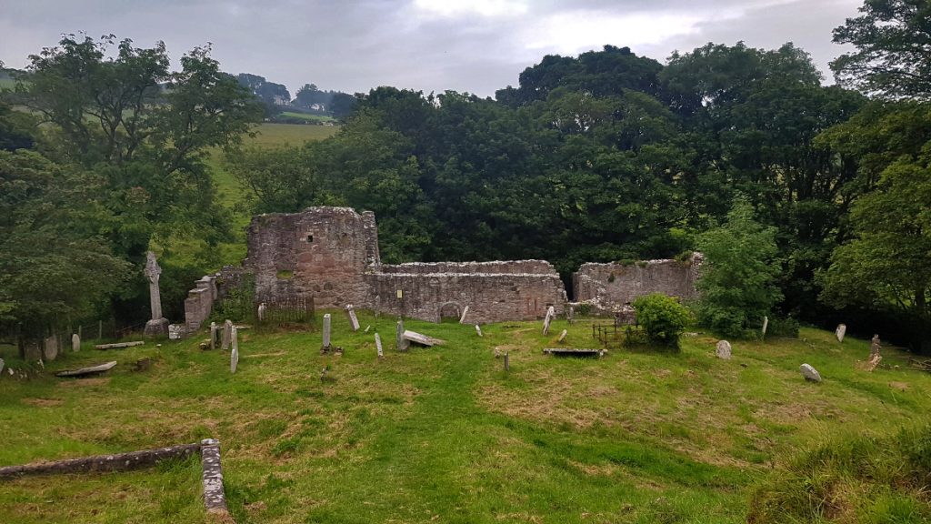
There’s some interesting beautifully carved headstones, and very old eroded ones
Time to head back and get ready for tomorrow and the first leg of the walk. Across from the b&b we were staying in was McCollam’s, a cosy pub reknowned throughout Ireland for it’s small rooms that are a destination for folk musicians. We missed out by leaving too early – Susan Boyle popped in and did an impromptu performance.
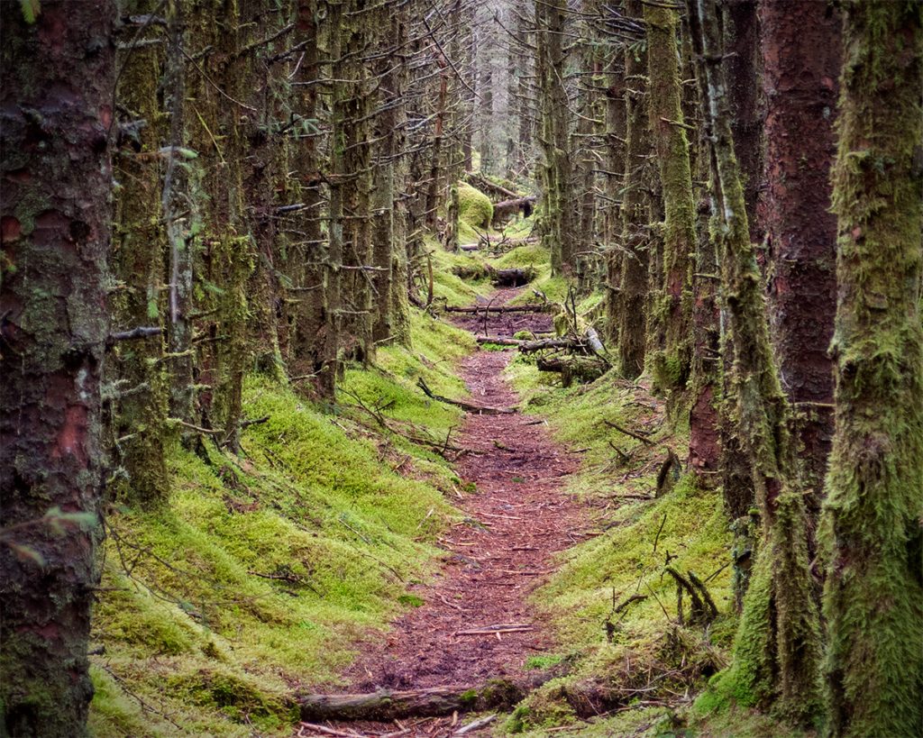
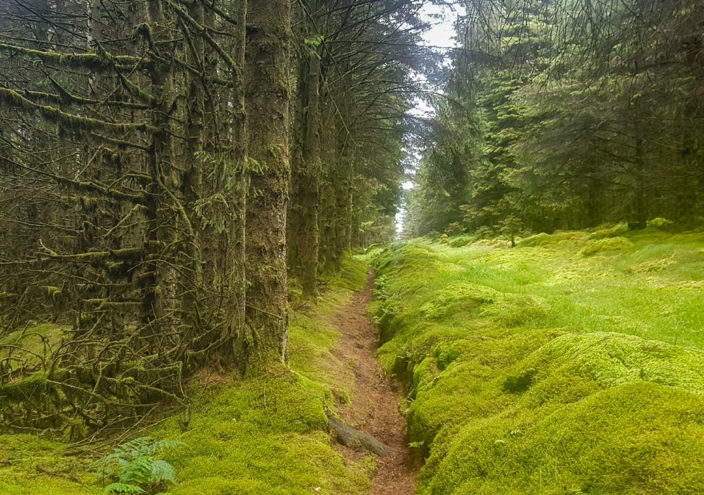
The next day we got a lift to the start point of the day’s walk. Unusually, we’d start from the Way’s halfway point and head downwards, ending up back in Cushendall. There’s no town or accommodation on the route, so this makes sense, also with one of our party recovering from injury it would be easier. The track starts off climbing through woodland.
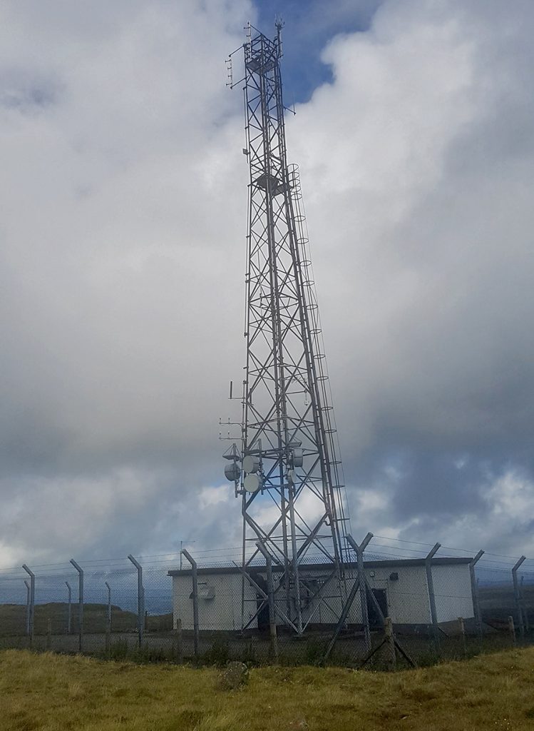
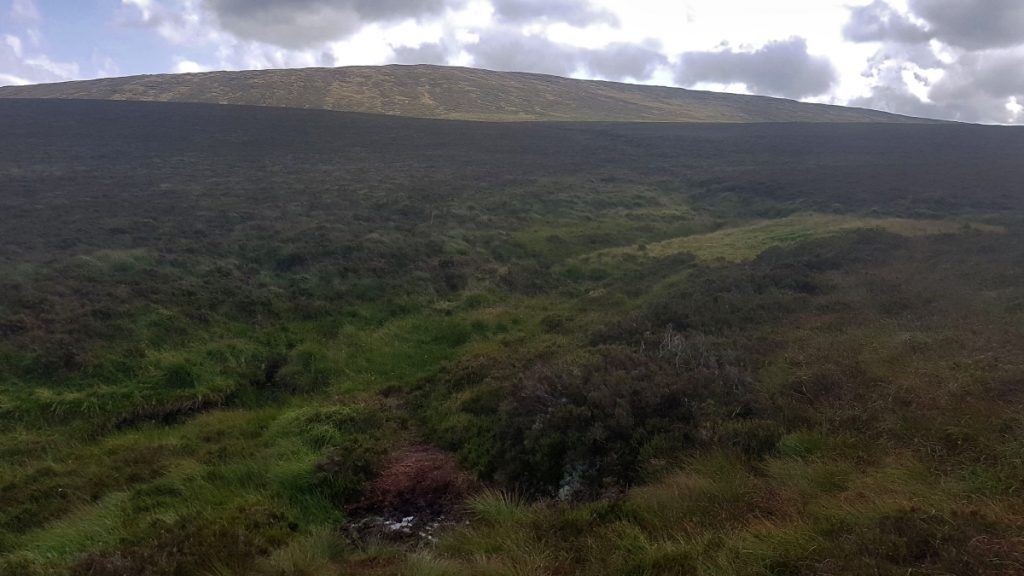
It opens out on to moor and climbs up on to Slievanorra, past a memorial to an aircrash and a cluster of radio masts.
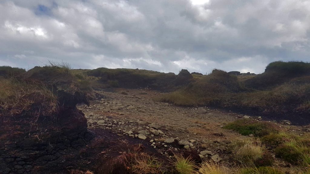
We’d been warned that the next section was very boggy and probably not worth doing, the faint path requires careful footing in places where flooded but being hardened Scottish hillwalkers this really wasn’t that bad, but I could see how casual walkers might be discouraged.
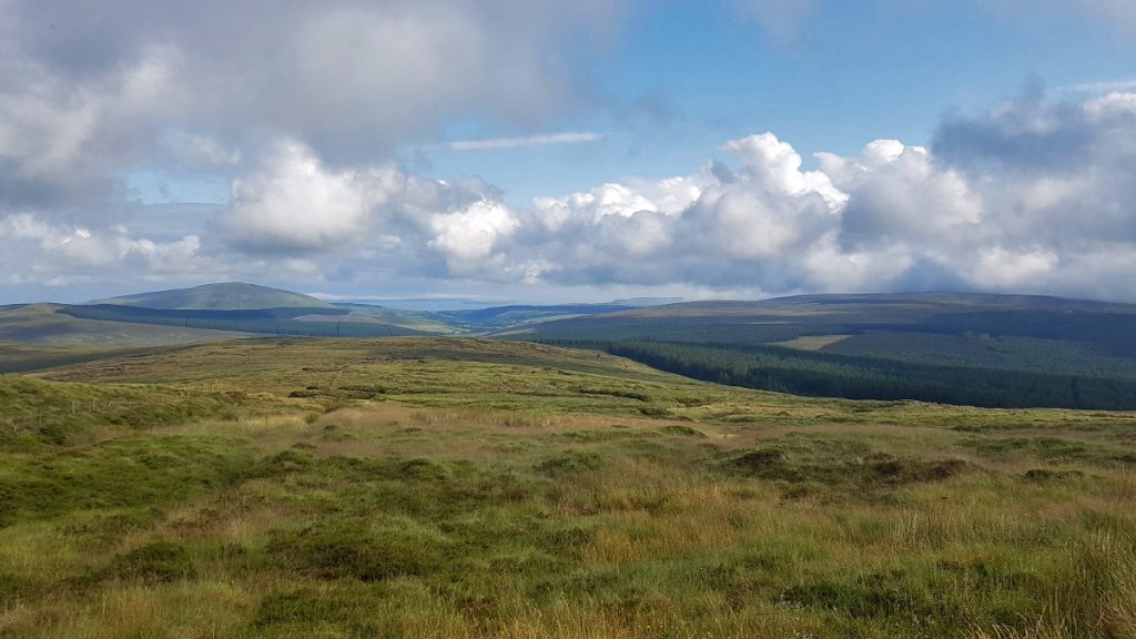
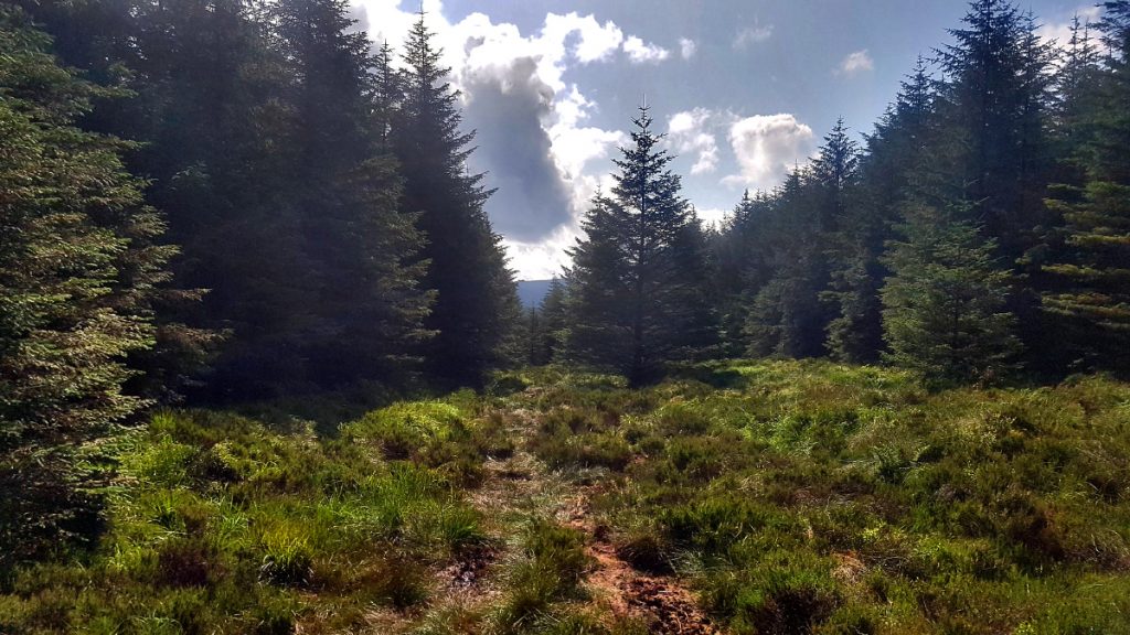
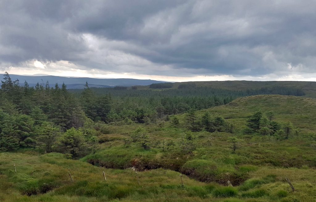
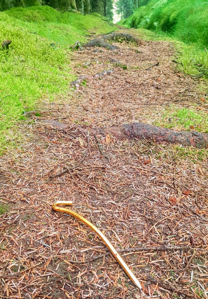
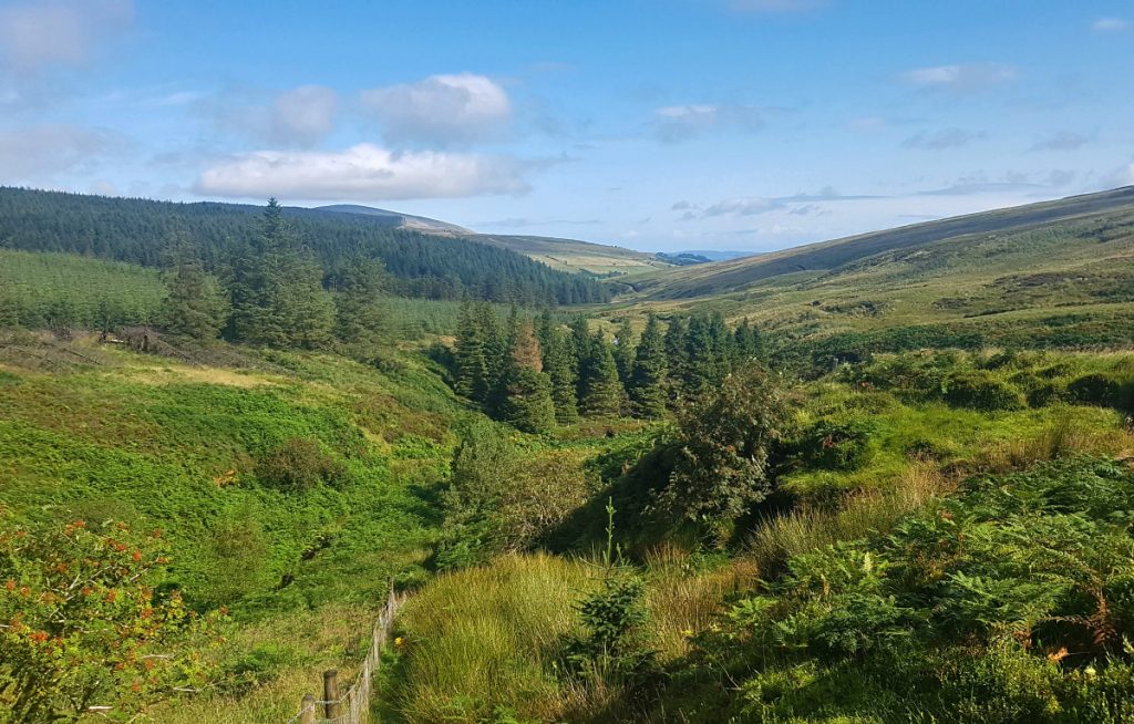
After winding across moorland for a few km, we entered forest again, first on a soggy scrape of a path but then on fire road.
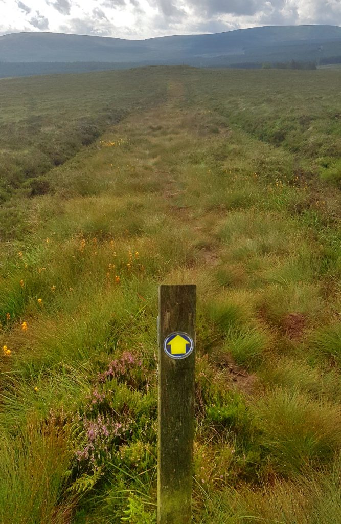
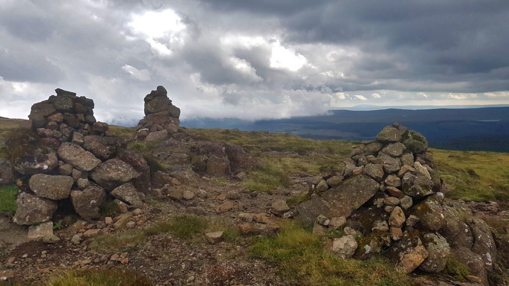
Leaving the forest we began the climb to the highest point of the Way (and County Antrim), Trostan (551m). The way is marked with posts, as the path is thin and would be easy to lose in poor visibility. The top of Trostan lies off the path and requires a bit of hacking around peat hags to reach.
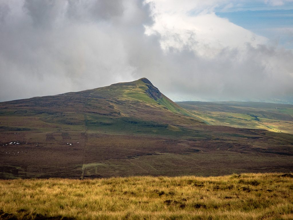
There’s quite a good view north east to some angular crags
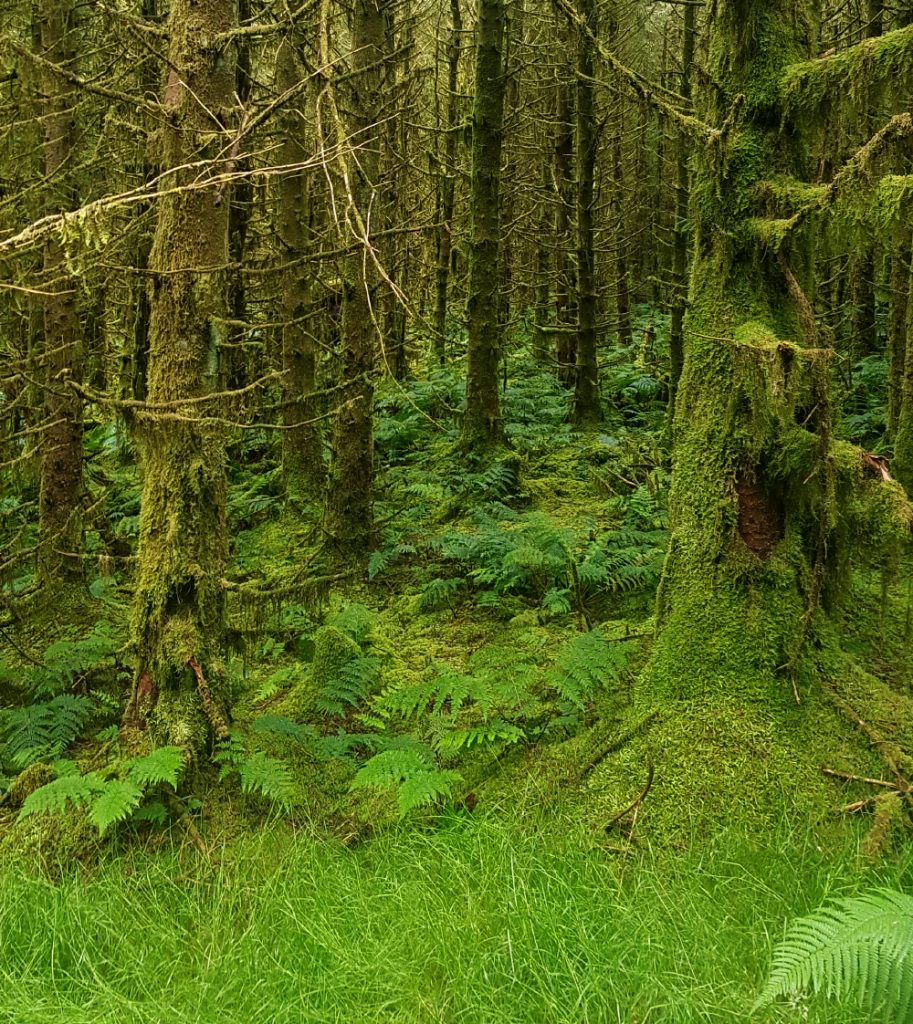
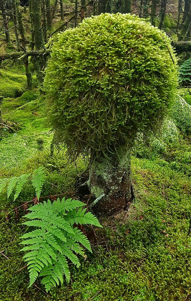
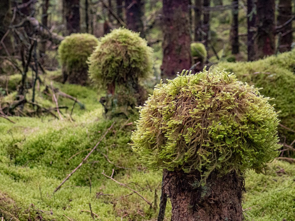
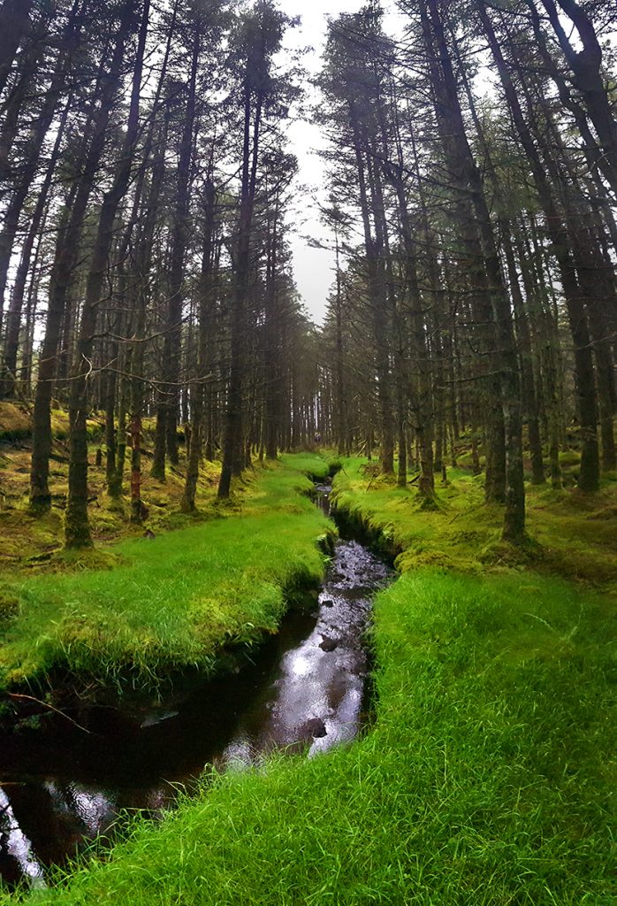
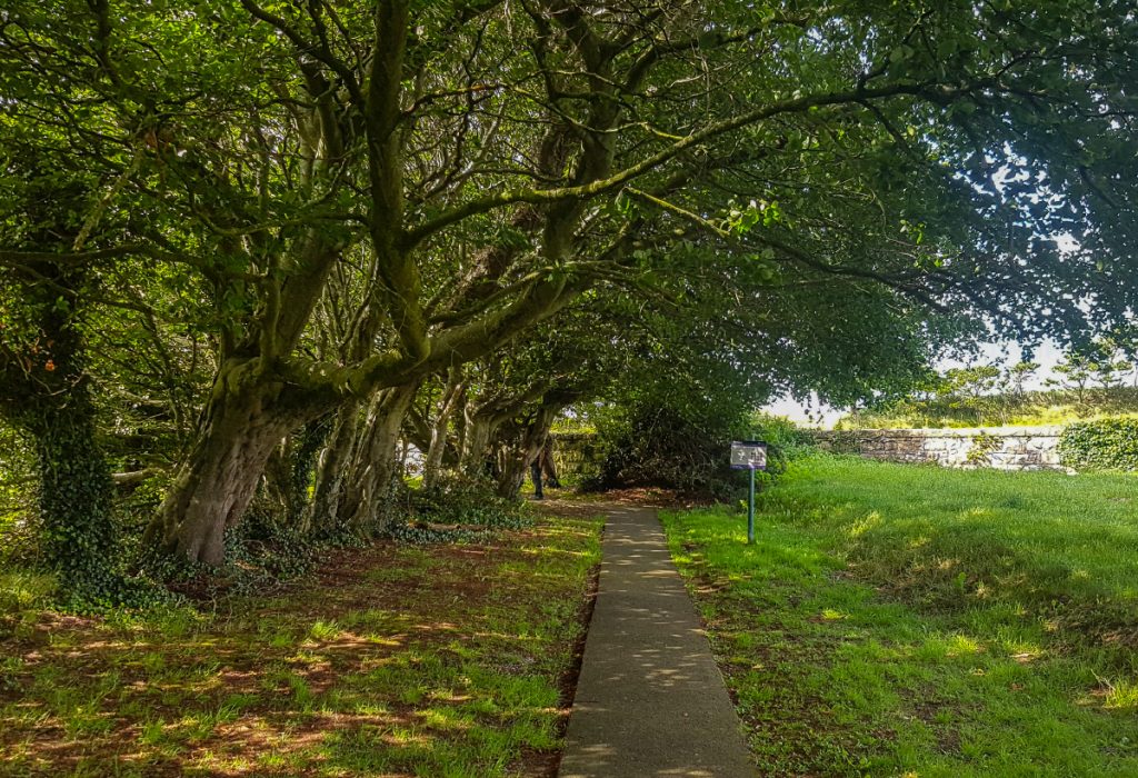
Rejoining the path, we entered forest again, this section being particularly green and festooned with moss

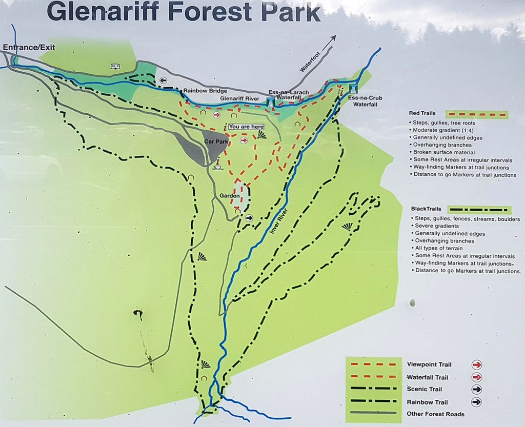
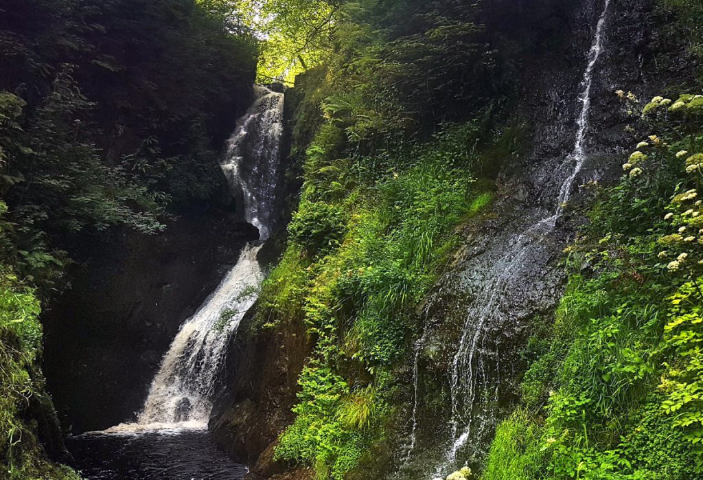
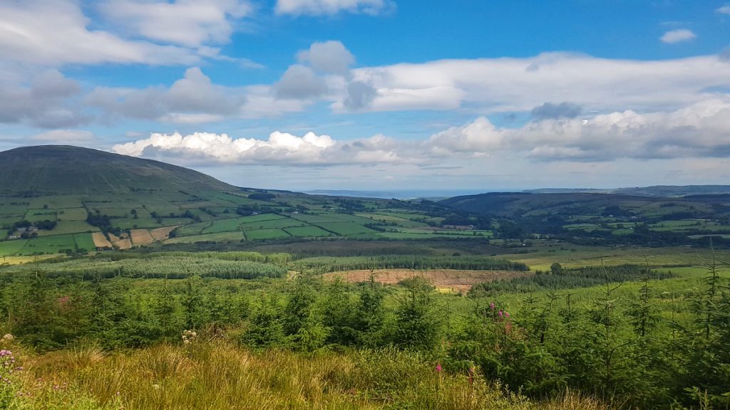
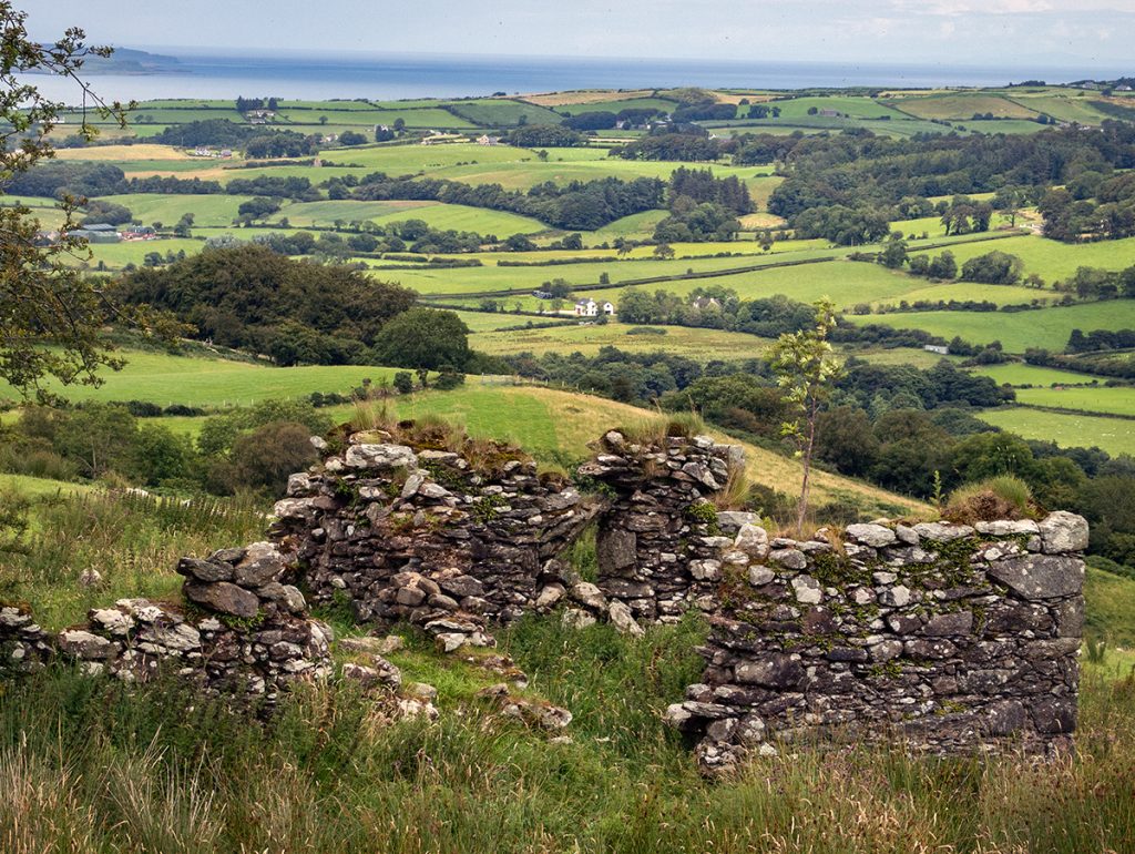
The next section of the walk enters Glenariff Forest Park, where there’s a visitor centre with a cafe that provides a welcome break. The view down the glen is great, with a ridge of crags heading towards the sea.
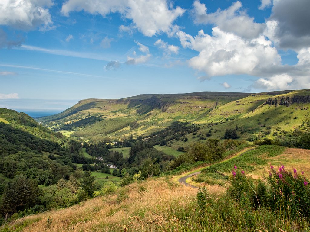
The crags of Glenariff
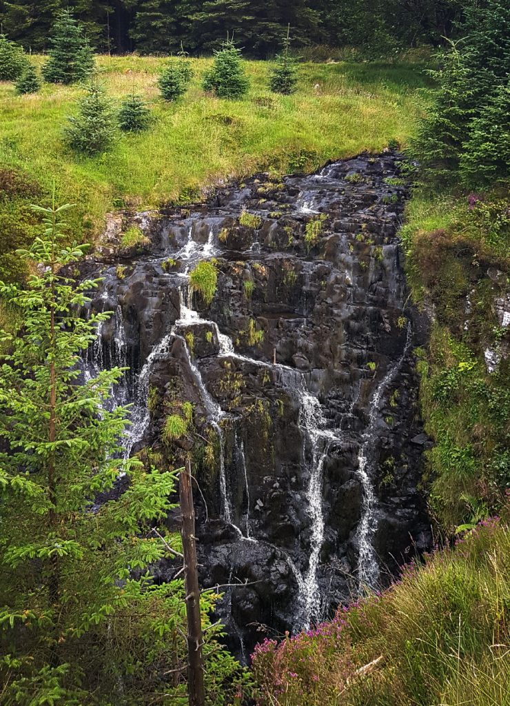
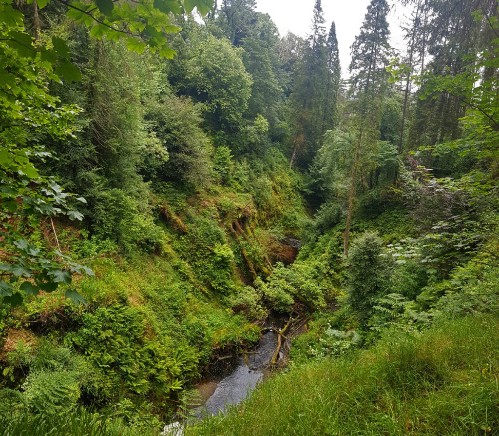
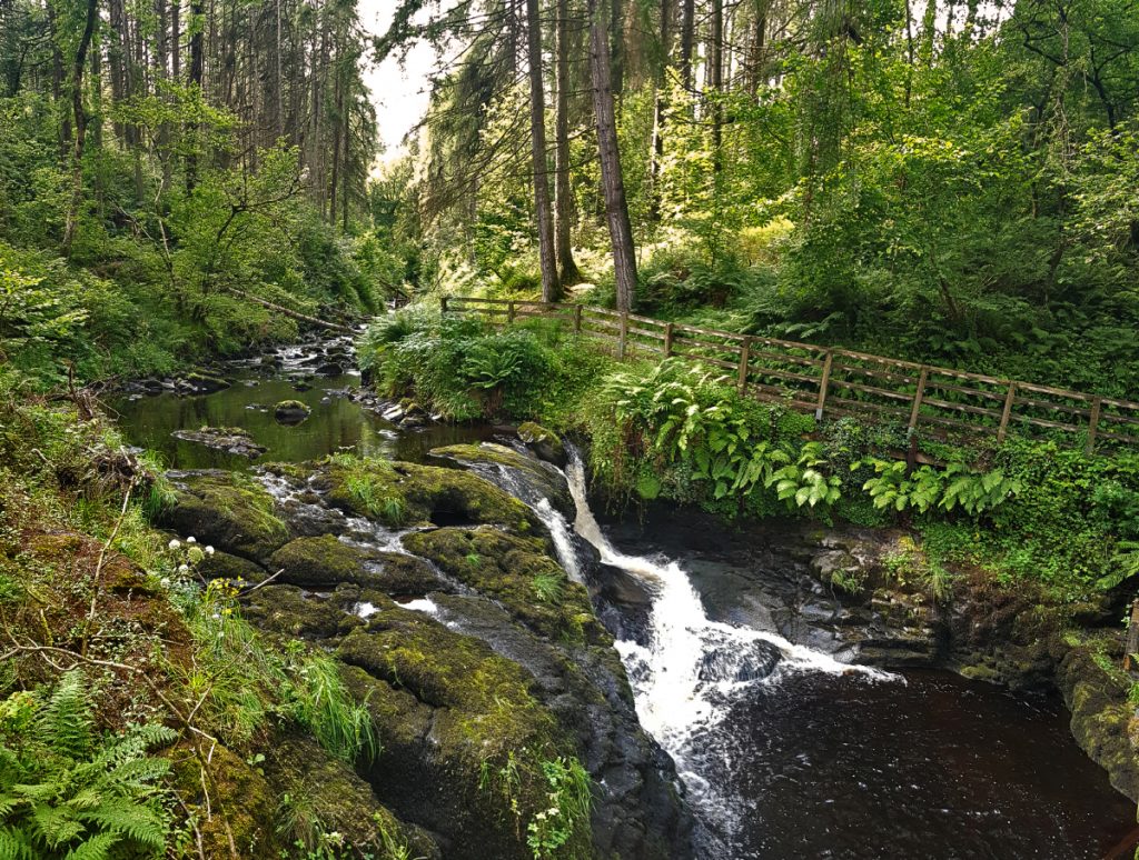
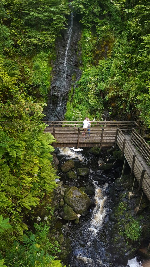
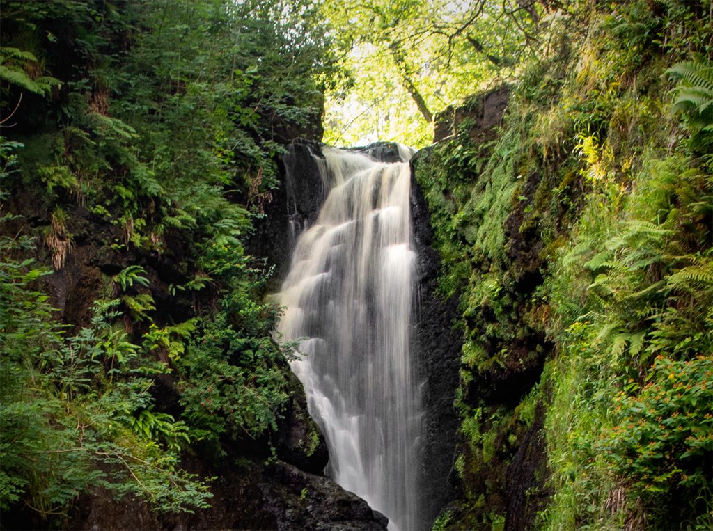
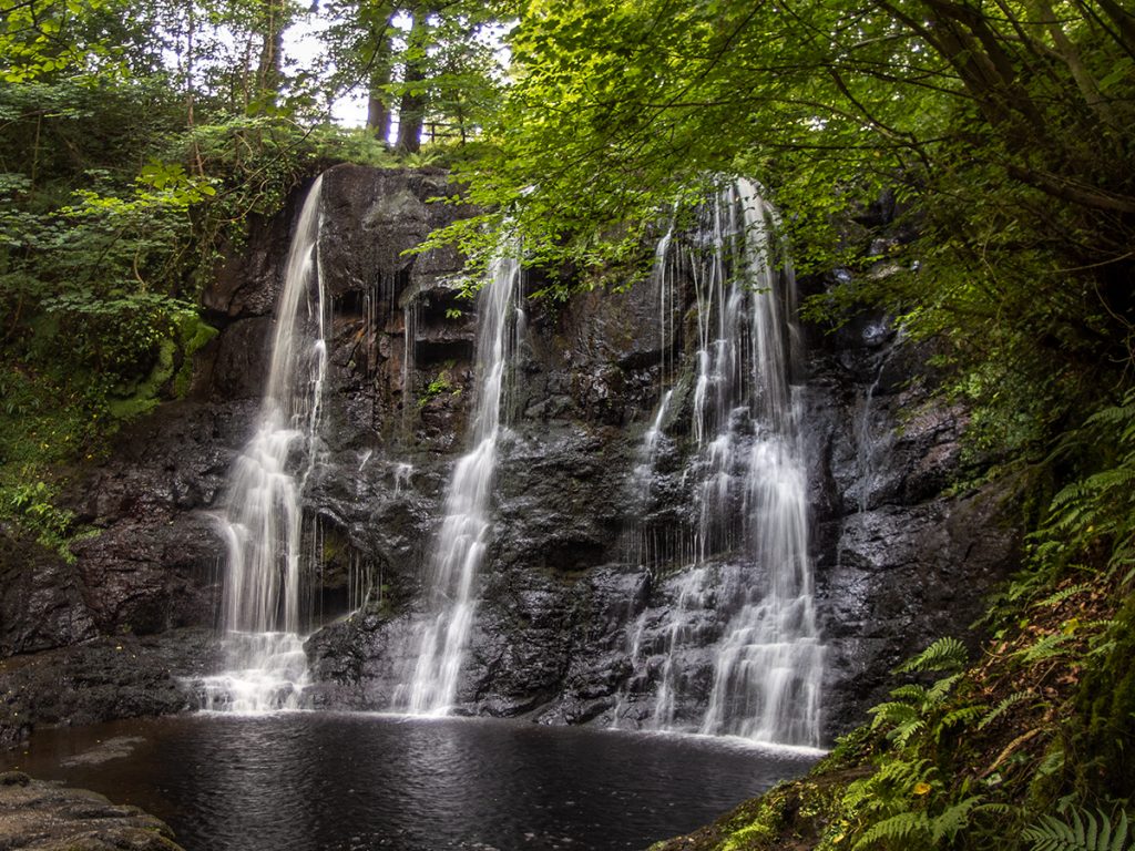
Heading onwards, I followed the path directly down to the bottom of the glen where the highlight of the day lay for me.
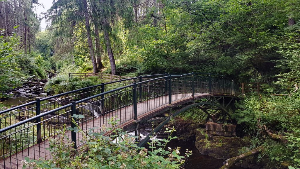
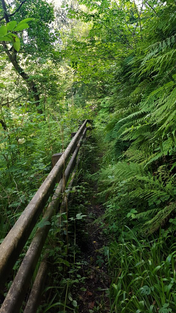
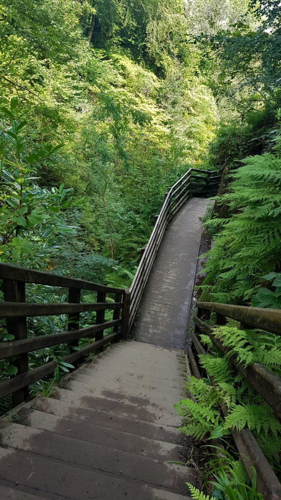
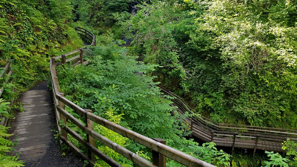
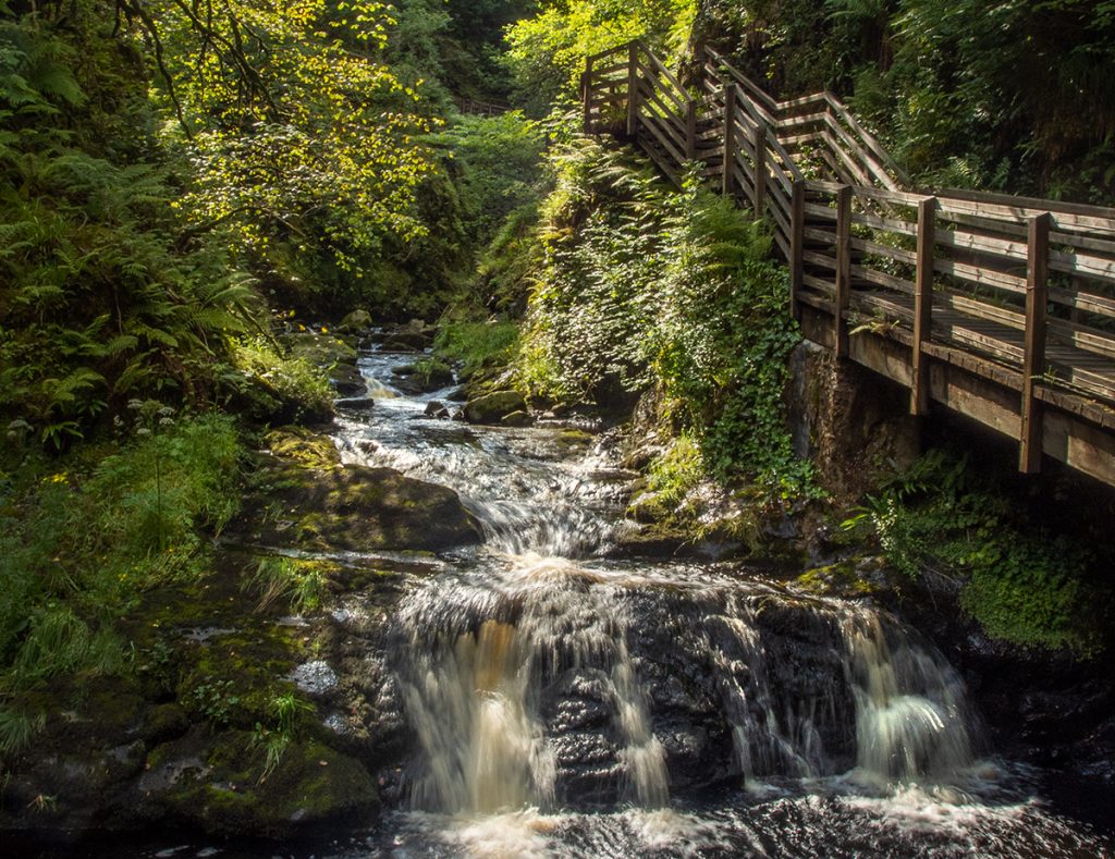
After flipping back and forth to reach the side of the river (there are multiple scenic walks fanning out from the centre) I descended down the waterfall trail which scenically hugs the steep sides of a gorge via a series of stairs and boardwalks. There are multiple waterfalls cascading along the gorge, it’s pretty nice. There’s a race through this glen each January; this chap has a great 360 video of it.
It’s a very nice but fairly short walk, and ends at manor lodge where further refreshments could be taken, however before heading onwards towards Cushendall I took a quick look at Ess na Crub (fall of the hooves) waterfall which is tucked away in a nearby cove. It’s near to a road entry to the park, so was busy and I had to wait a while to get a clear shot.
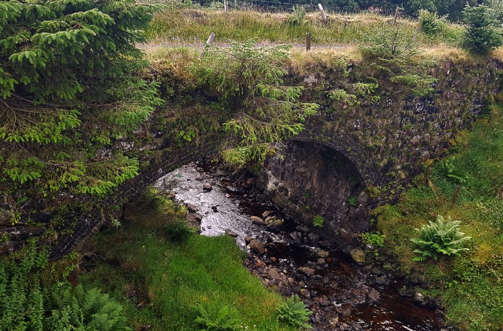
The next section of the day’s walk is along a quiet country road, with the hill ridges rising high on both sides. Eventually the a path diverges across fields and follows a stream down to the village of Waterfoot
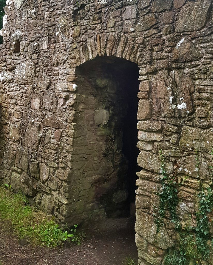
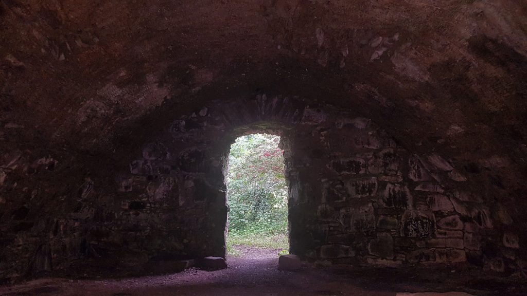
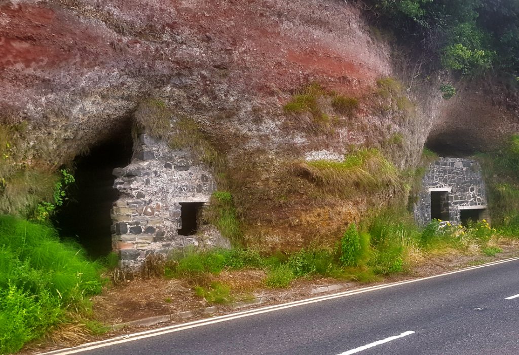
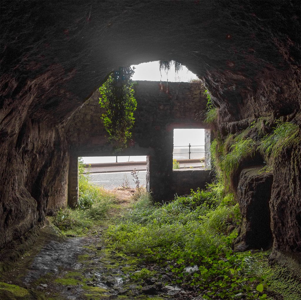
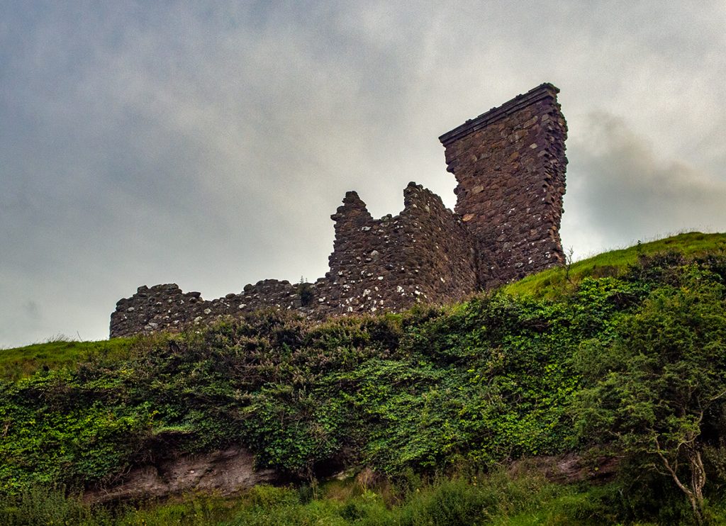
The final section along a coastal road passes some unusual ‘caves’ that have been walled off, a big arch, and the remnants of an old castle.
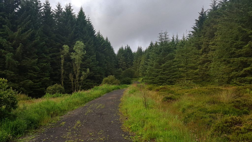
The next day, we were dropped off back up at Orra Beg to complete the second half of the way heading north to Ballycastle. We started off travelling through forest
The next section headed across open land to alongside the Glenshesk river, with an extremely overgrown section that had us questioning whether we were on-track
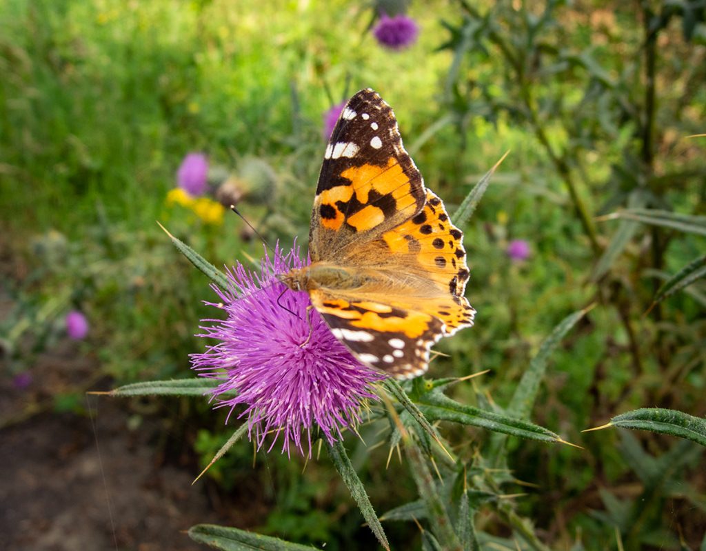
Further along the river was mostly back on to good tracks. We crossed the river and headed uphill across the foot of Croaghan. The track had great views across to Knocklayd hill, and with the sun out the verges were alive with huge amounts of butterflies
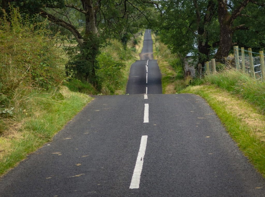
The next few miles were along Drumavoley Road a long but quiet countryside ribbon of tarmac.
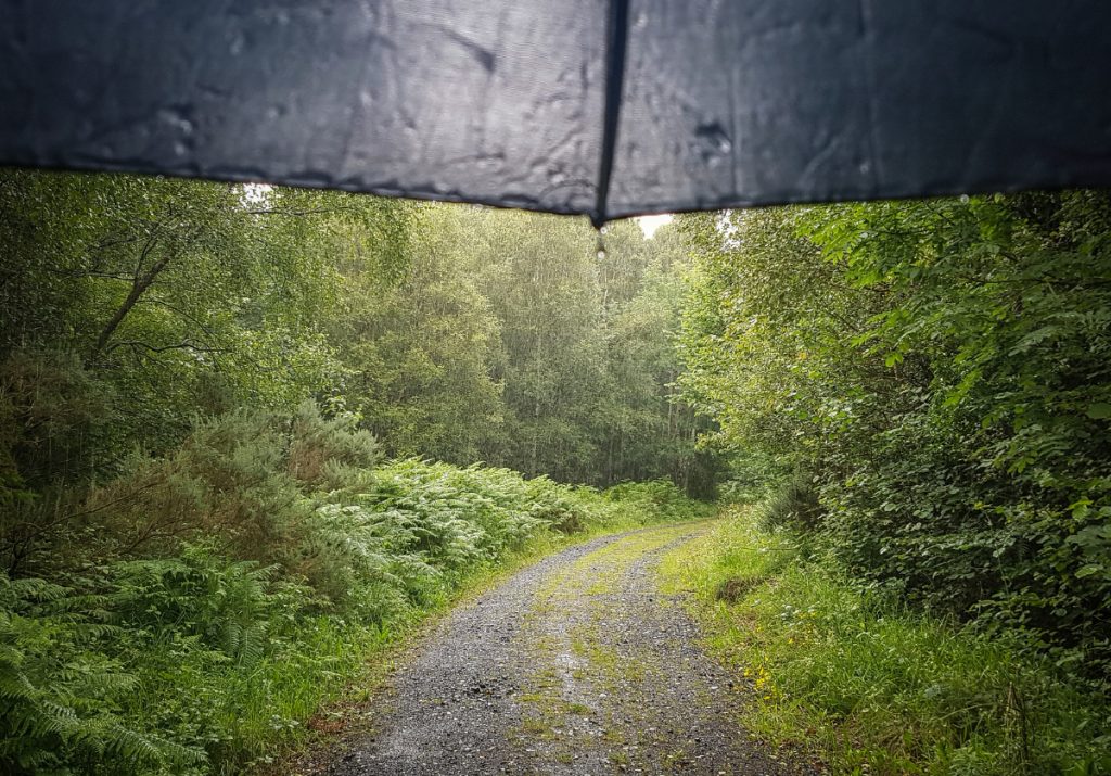
Leaving the road for a stiff and final climb of the day through woods, toward. Not far from Ballycastle, the rain caught up with sufficient vigour to make me take shelter under the trees for a while
Down into Ballycastle and the Moyle Way is complete. It’s a nice enough wee route, but by no means in the higher league of these things. It does however tail end nicely with what I’d be starting in two days time (The Causeway Coast way). If short of time, I’d choose an afternoon around Glenariff park which was my favourite bit of the entire trail.
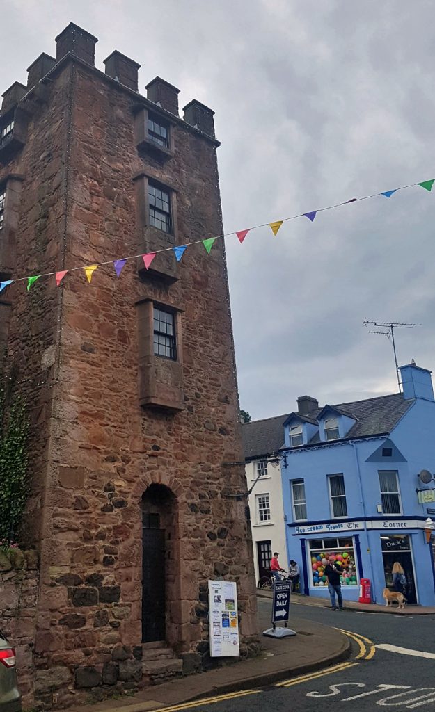
With a few hours to kill before the pub meal, I went on to check out some local sights
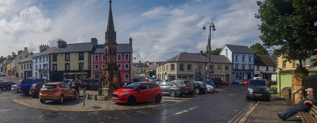
Back at the seafront, Ballycastle is bustling with a real holiday resort feel to it. Tomorrow, before continuing to start the Causeway Coast way, we’ll have a day off of walking, taking the boat out to Rathlin Island