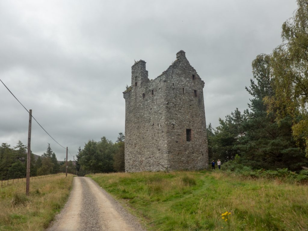
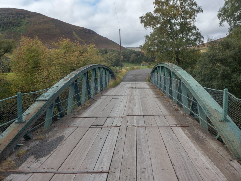
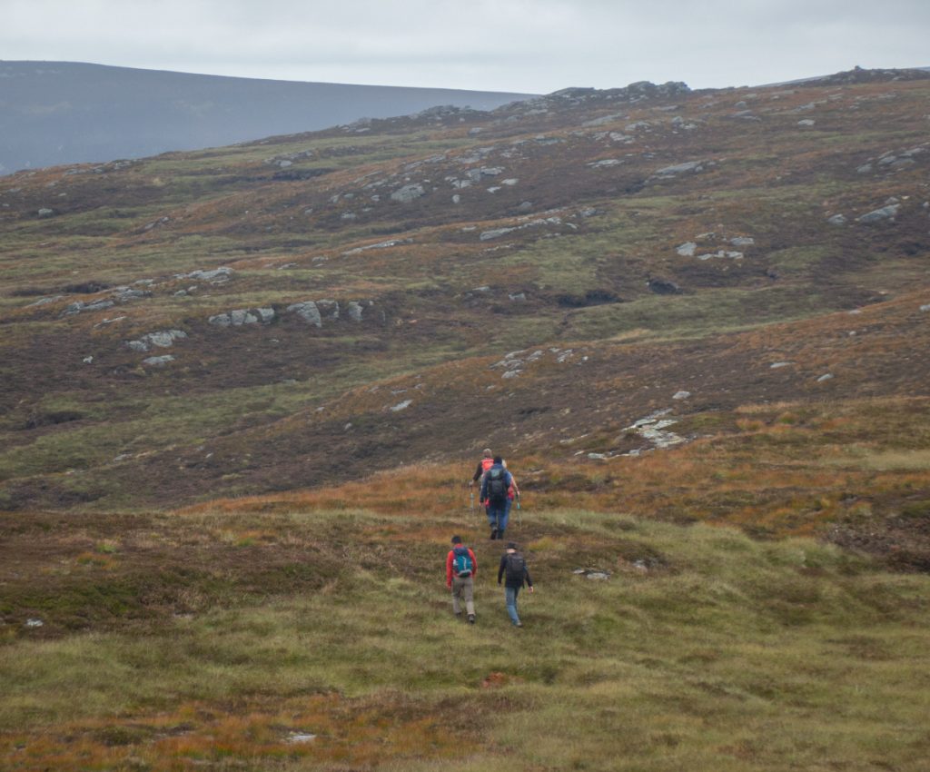
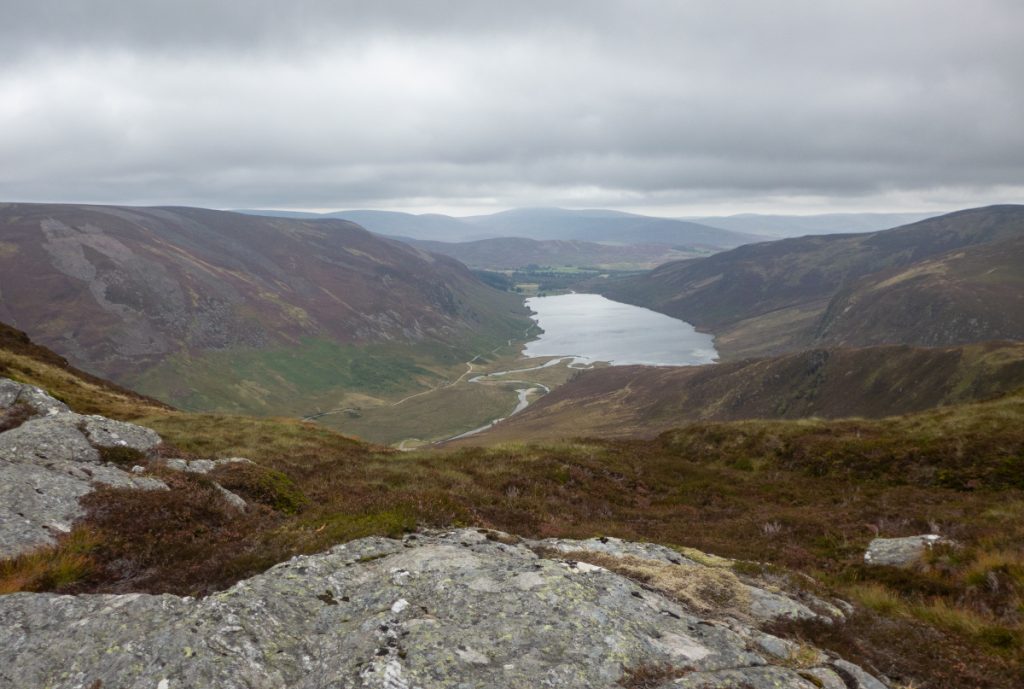
I’d not been in the Loch Lee area for some time and an Aberdeen Hillwalkers route provided an opportunity to revisit some nice spots but also go off the beaten path and explore some new terrain. We started at the 19th century Gleneffock bridge across the North Esk and began the climb up Cairn Caidloch, the first hill of the day.
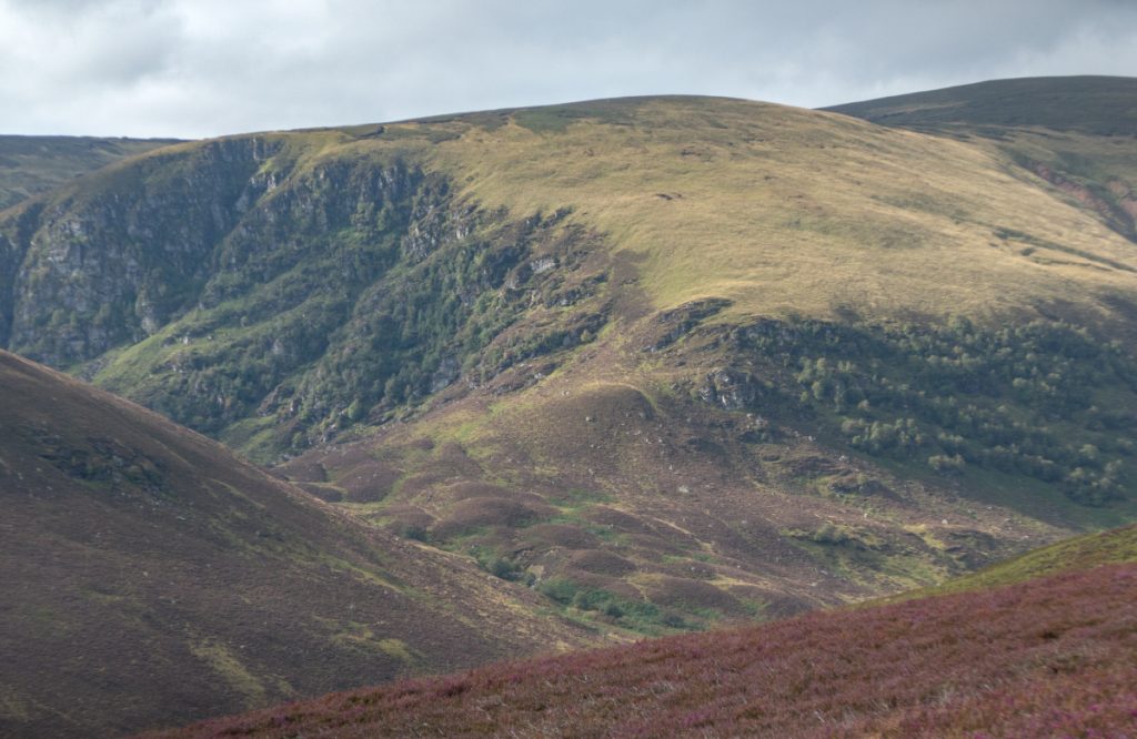
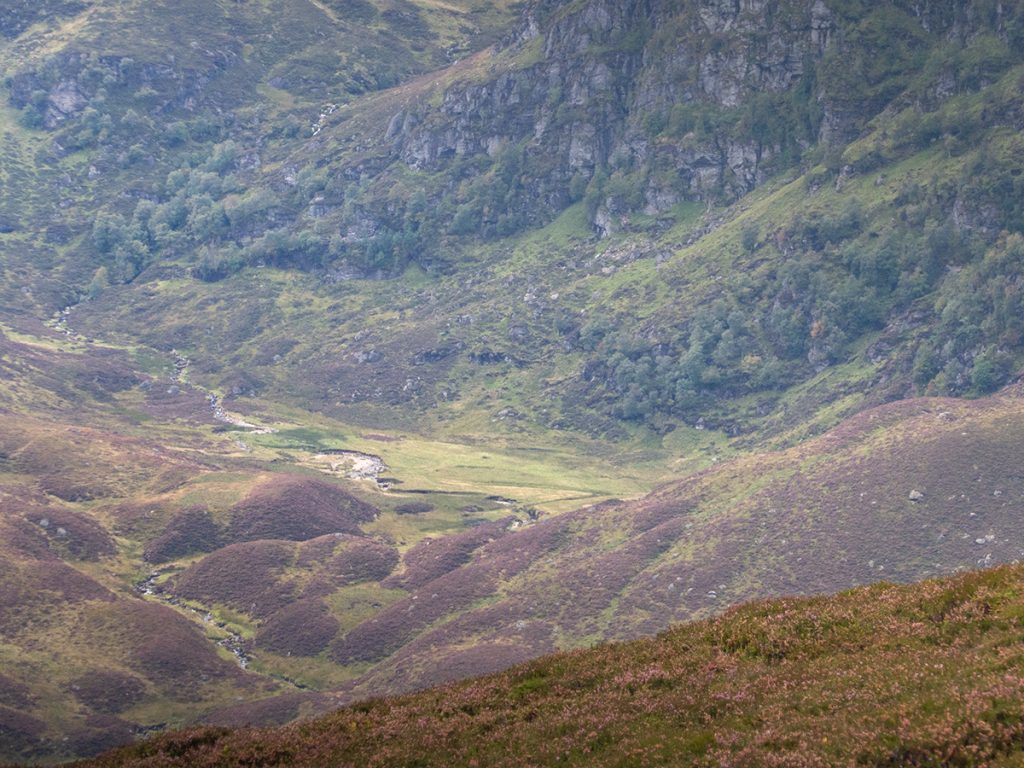
Climbing higher, to the south west the sun lit up Corrie Doune on the side of Cruys, it looks an interesting and rugged area, with a small flat area at the bottom that might make a nice sheltered camp spot.
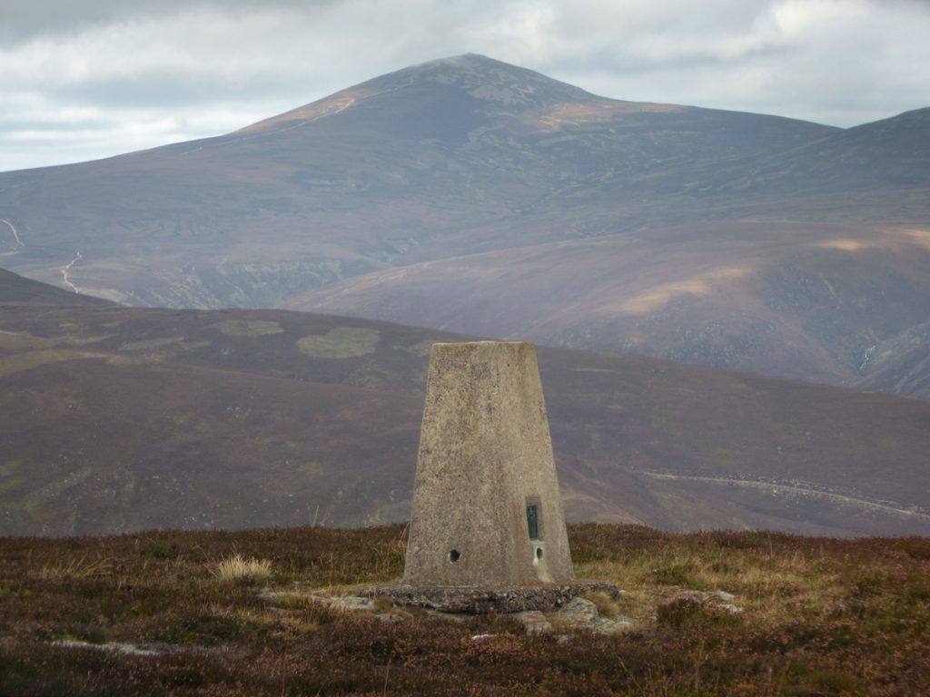
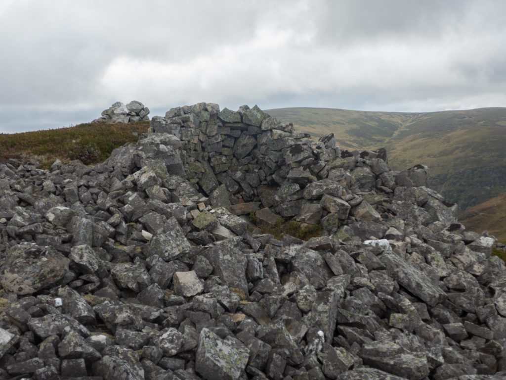
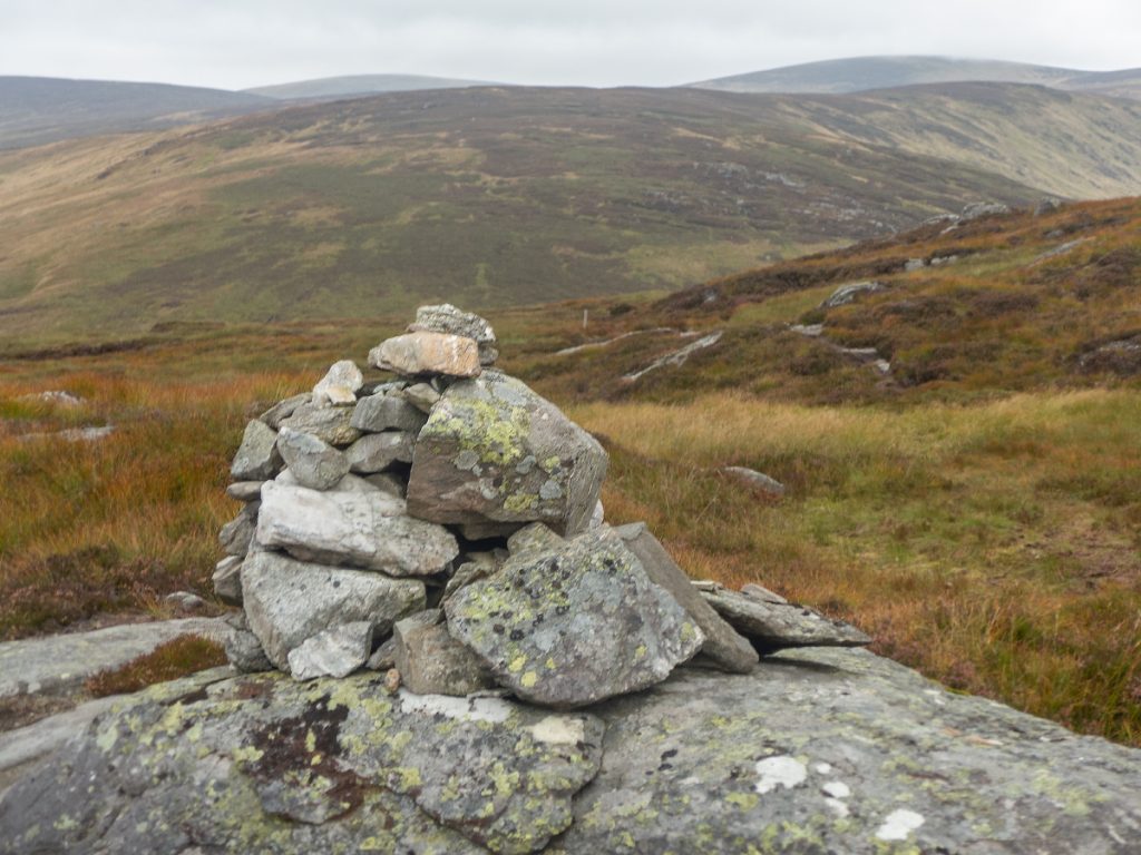
I’d powered ahead of the group, as further on I had some off-route exploration to do that would need the time, so I didn’t stop at the 647m trig for a break nor the various shelters just south west of the top.
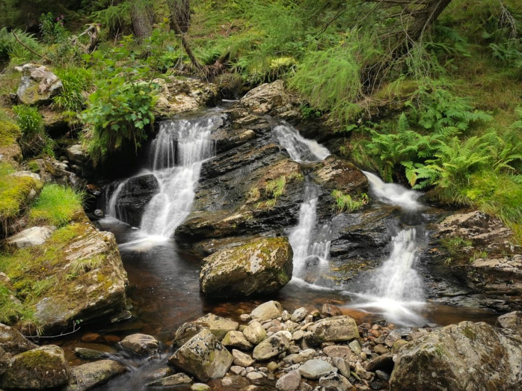
On the north side of Burnt Hill, the surfaced track fizzled out and a thin increasingly overgrown path headed down then around the top of Craig Turner to the Burn of Tarsen, from here I lost any sign of trail and just followed the burn down until finding it again at a ford which has a small waterfall below.
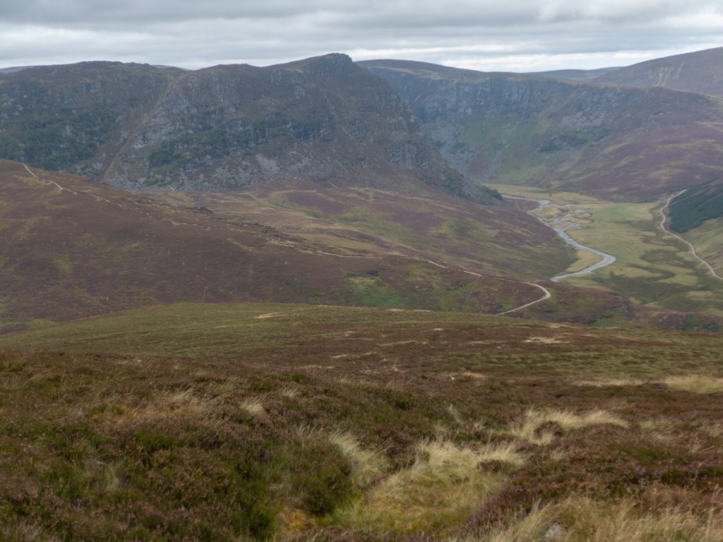
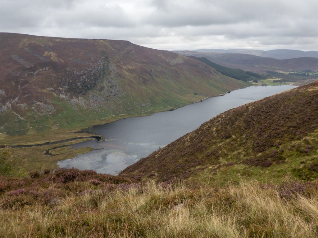
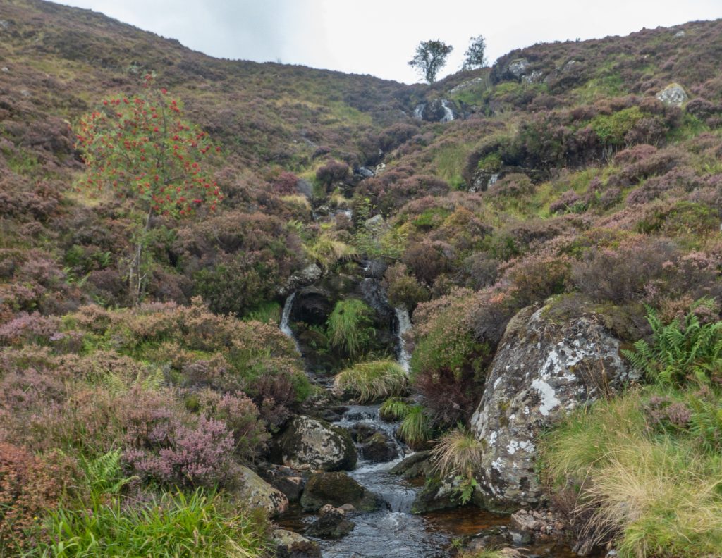
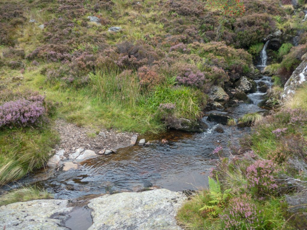
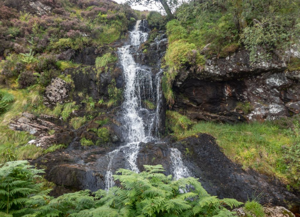
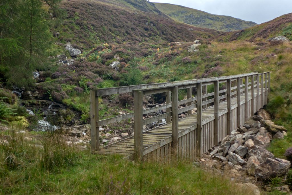
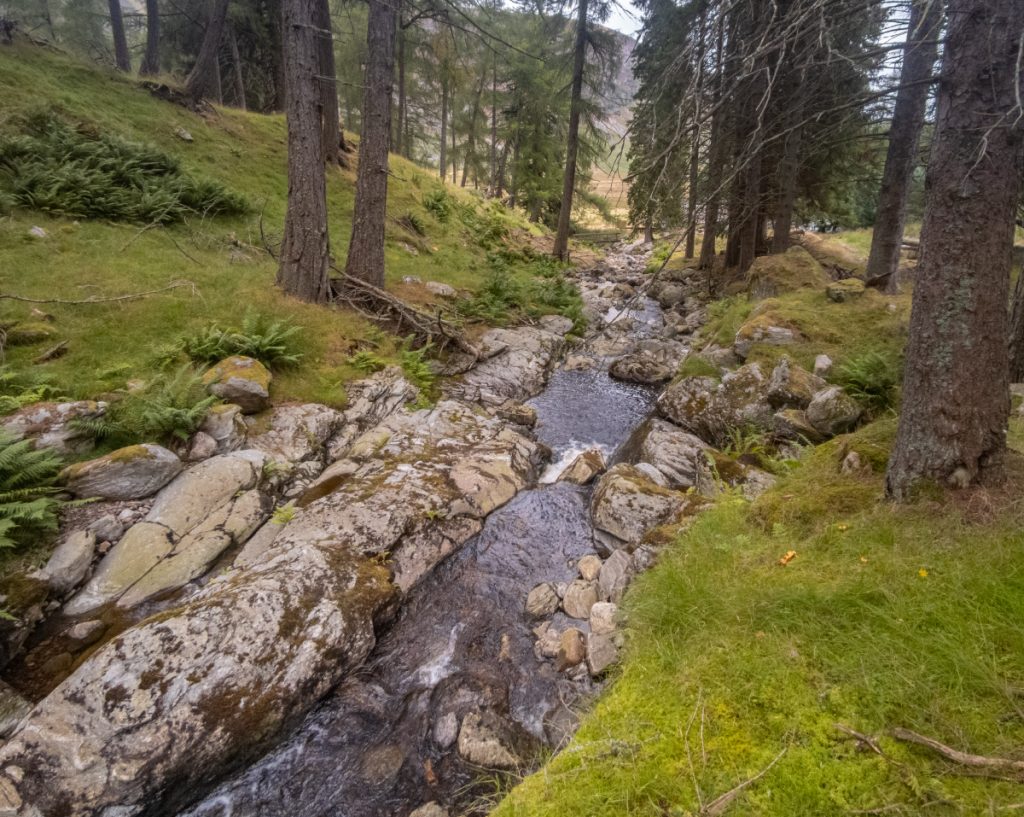
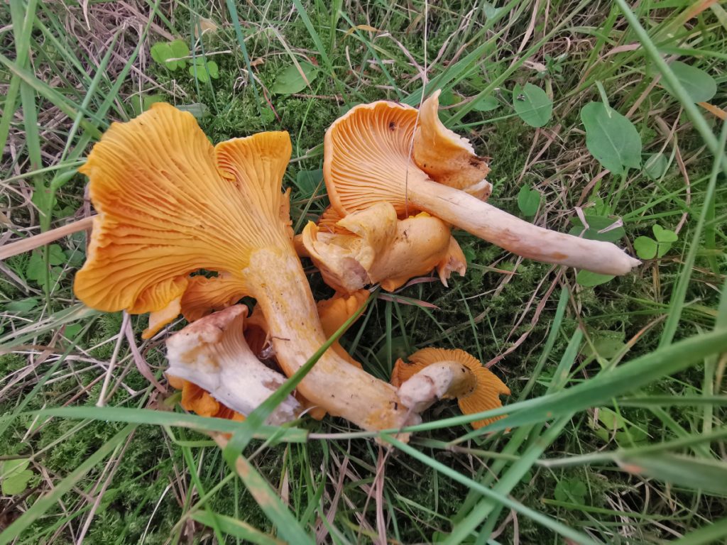
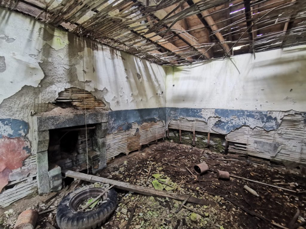
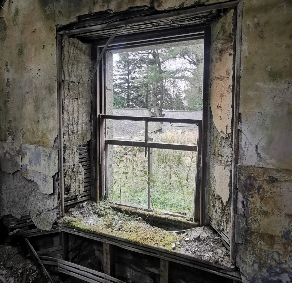
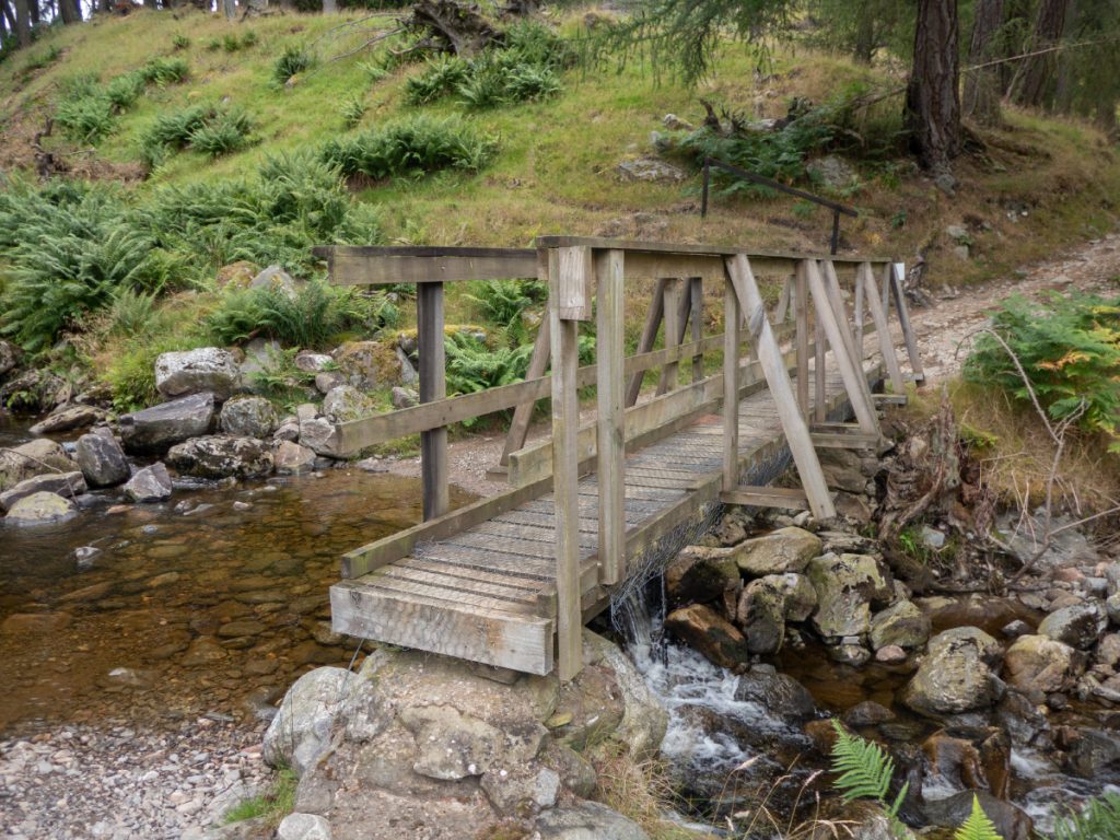
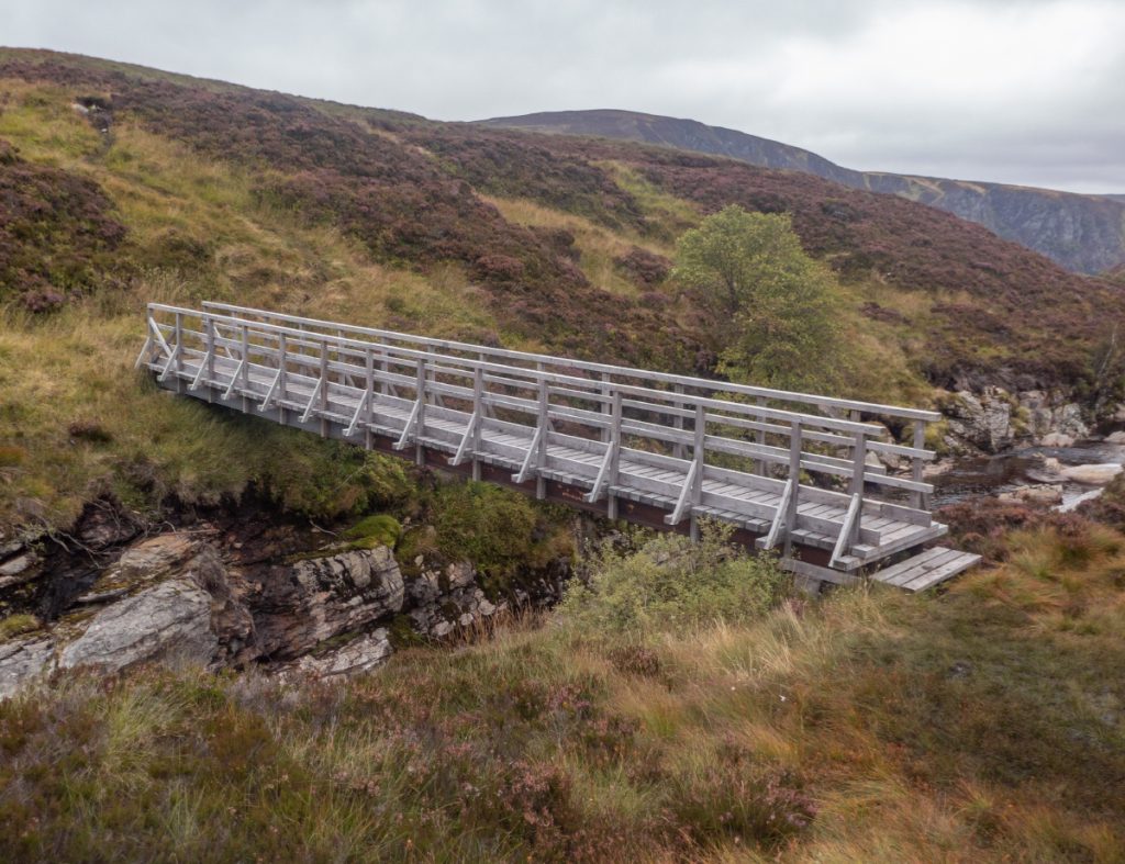
A well-constructed footbridge drew me across the Burn of Inchgrundle, before I realised this wasn’t on the map and didn’t really lead anywhere – there’s another one lower down that heads to the Shank of Inchgrundle. Through the trees along the burn is pleasant, there’s a viewpoint and I found a few chanterelles, then got distracted into a ruin. I could see others approaching higher up, time to power ahead again.
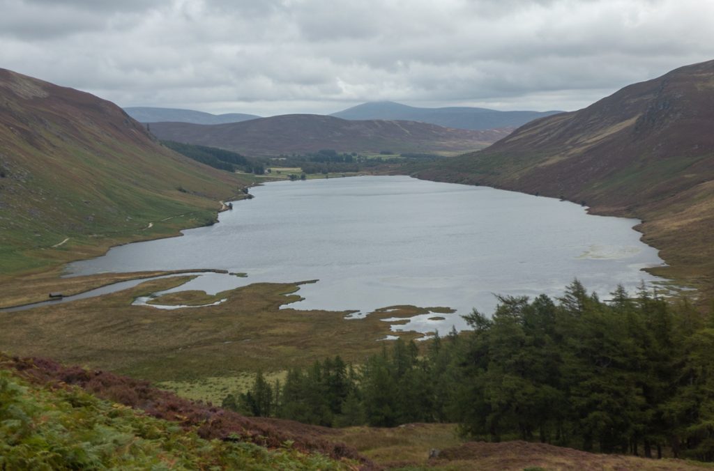
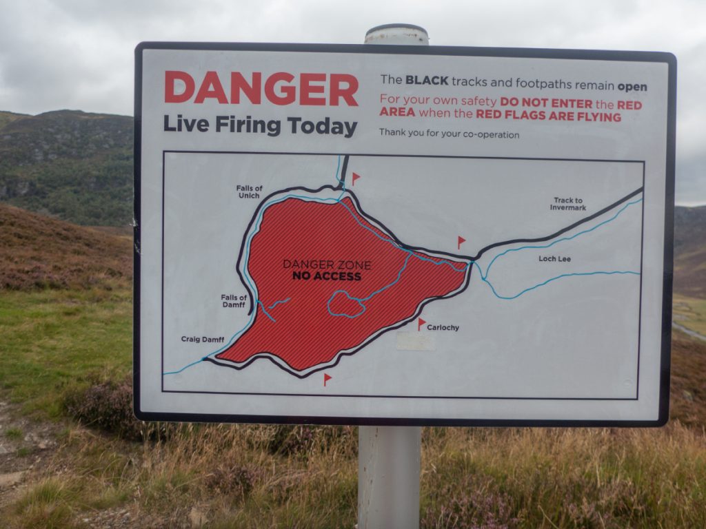
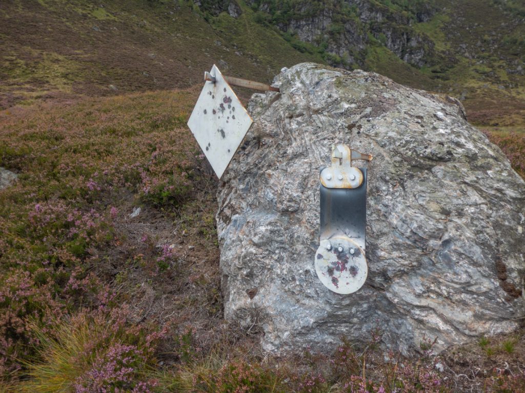
My main mission today was to go and look for an old outlaw cave in the corrie below Craig Maskeldie holding one of two Carlochy lochans in the area. Fortunately no red flags were flying – the cliffs provide a backstop for a lot of shooting training – small targets are scattered throughout both on the ground and up on the cliffs.
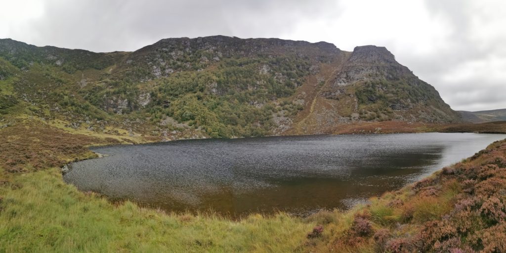
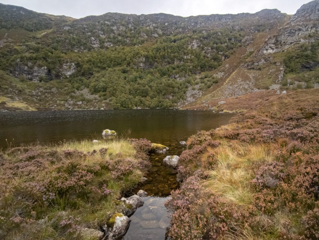
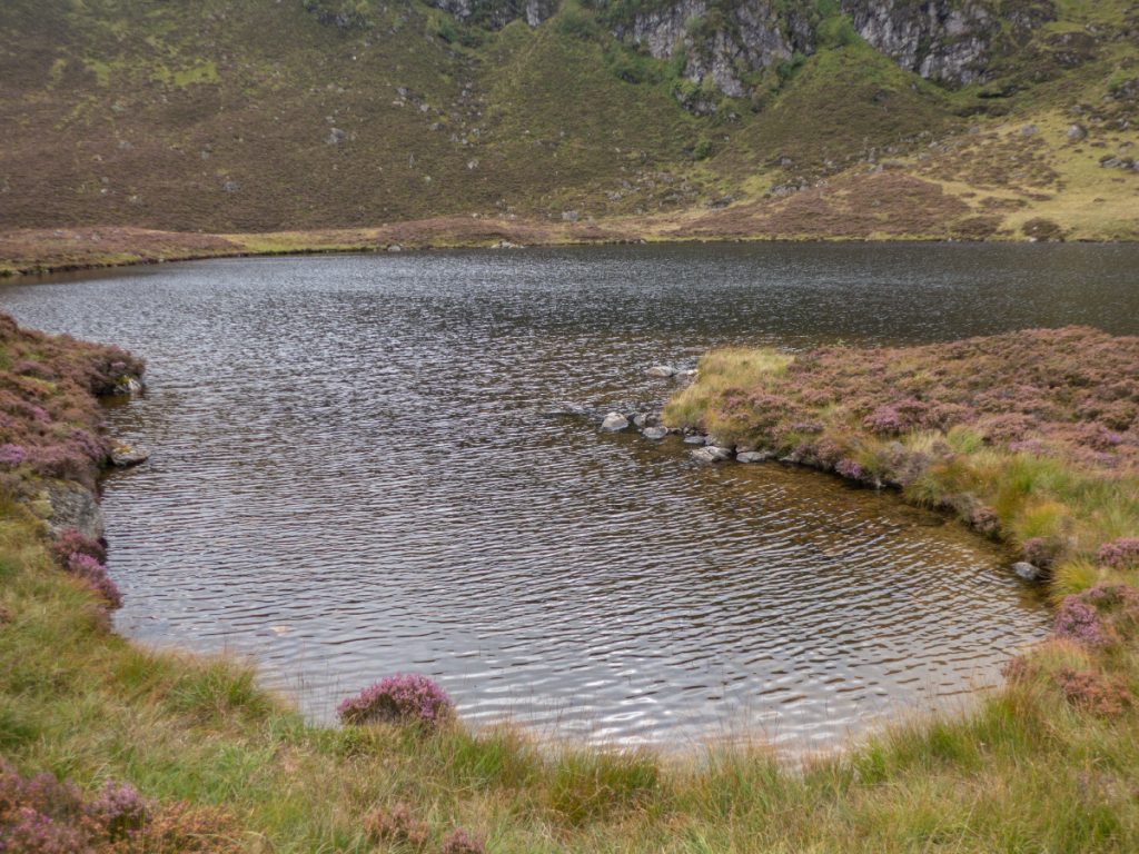
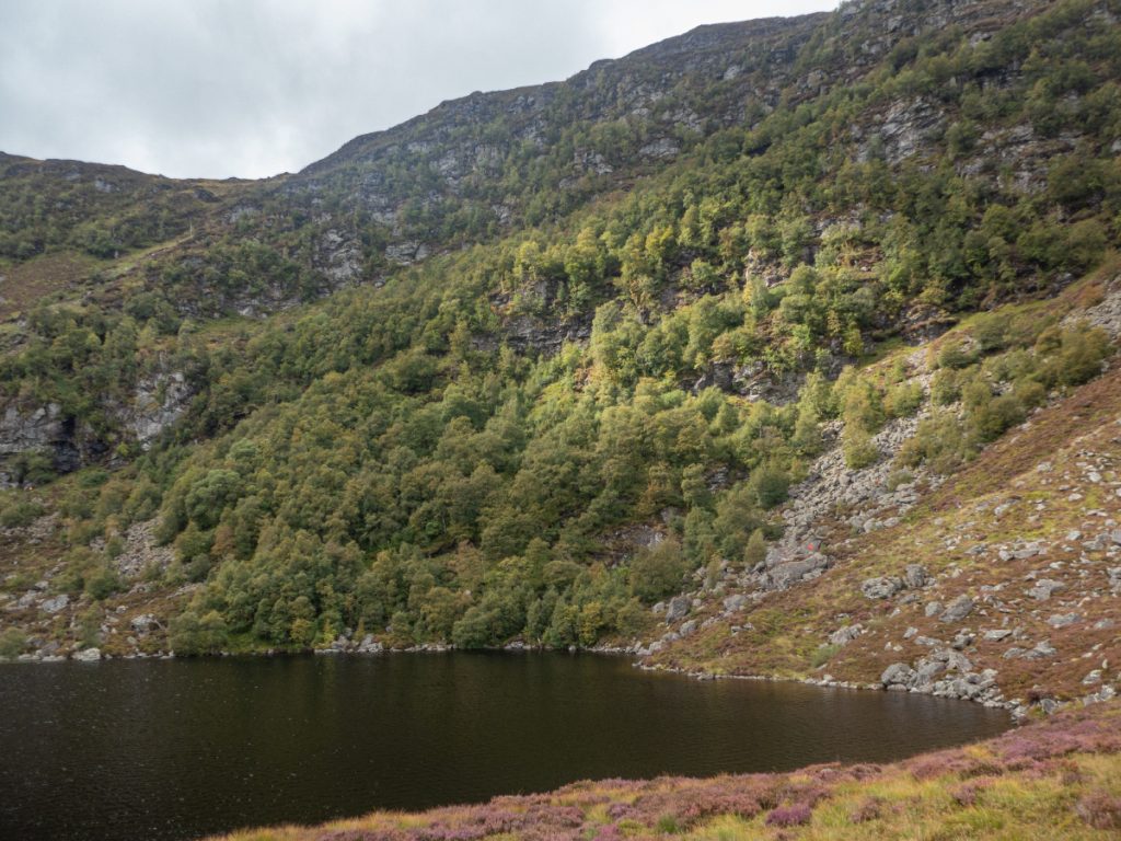
There’s not a huge amount of info available about Gryp’s Chamber online, I had some vague instructions about walking from the lochan for a few hundred metres north of the lochan, then look for a large boulder with heather on top – there were quite a few, and the terrain had changed from boggy and squishy to a tumble of large boulders interspersed with thick heather and many hidden gaps, quite treacherous so some care stepping required, and clambering up down and around car-sized boulders. I didn’t hold out much hope for finding a tiny entrance amongst all this.
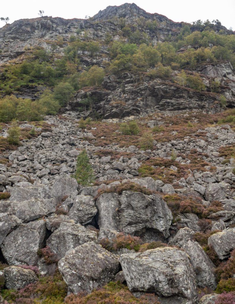
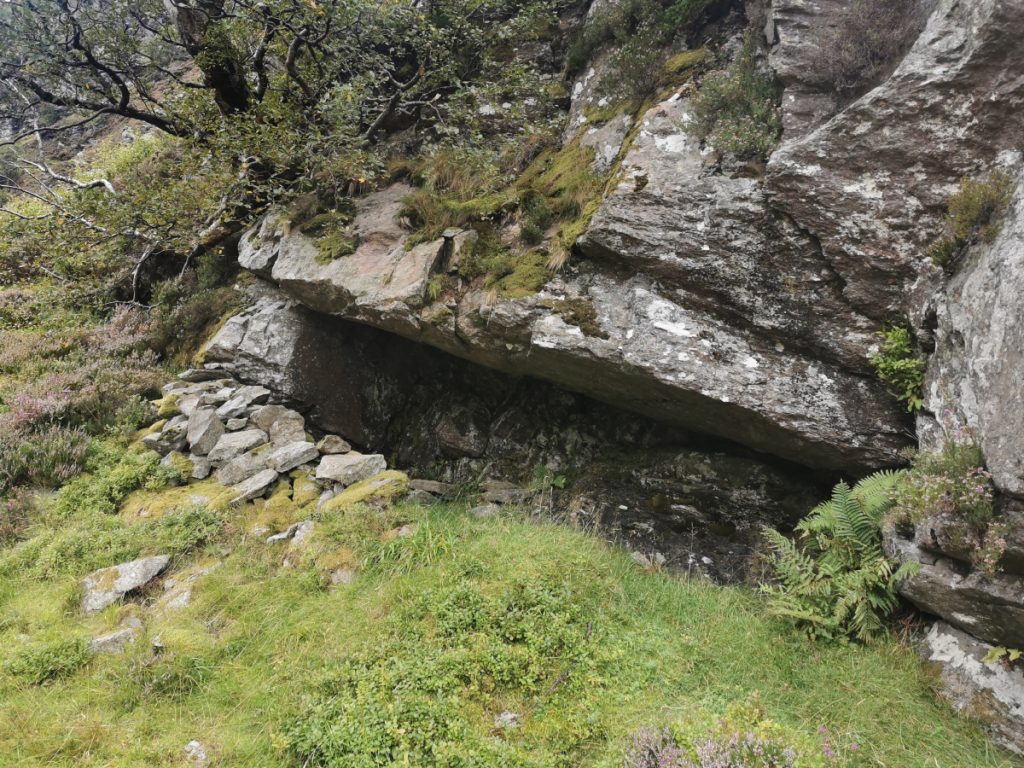
After some grunting, bumping and teetering I lucked upon it – sighting a pile of bogwood down below that looked unlikely to be purely naturally arranged. Lowering down carefully to it, the cave revealed itself.
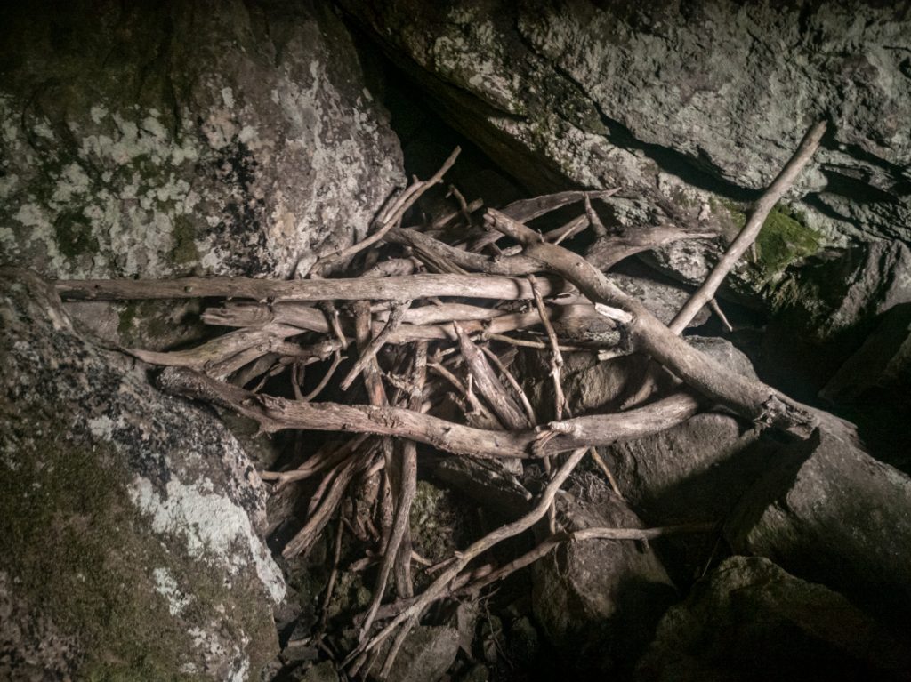
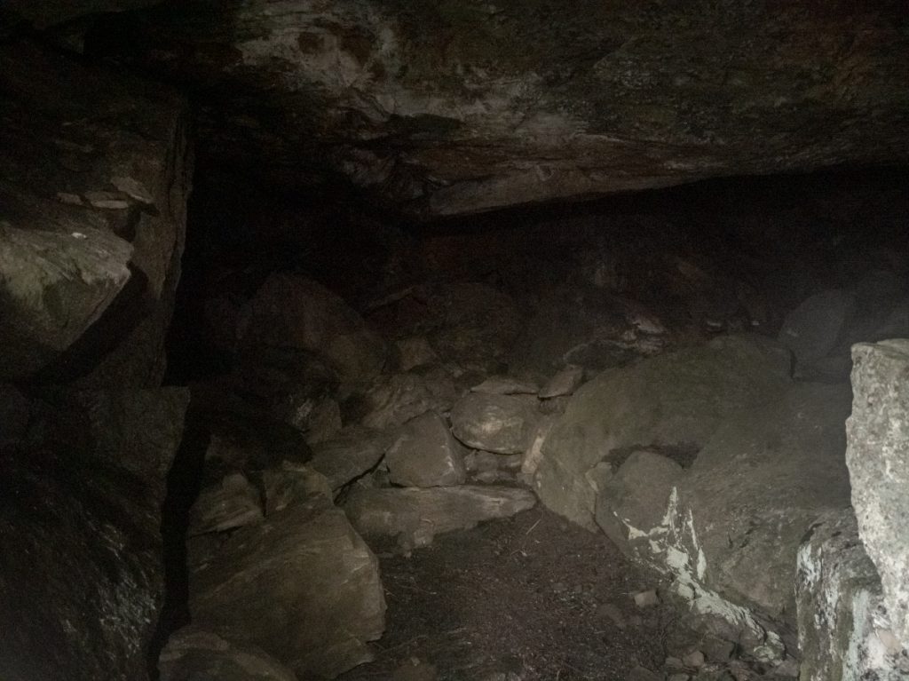
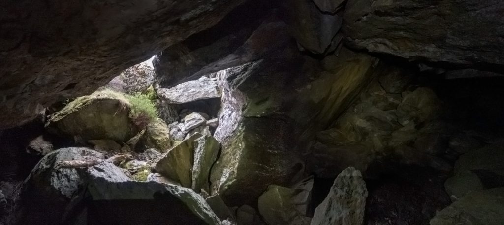
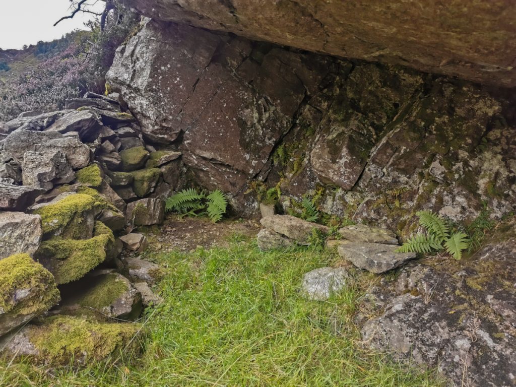
It’s quite a reasonably sized chamber and could shelter 10 folk sitting but not many lying as there’s little flat ground as such. Maybe the trainee shooters come in here occasionally.
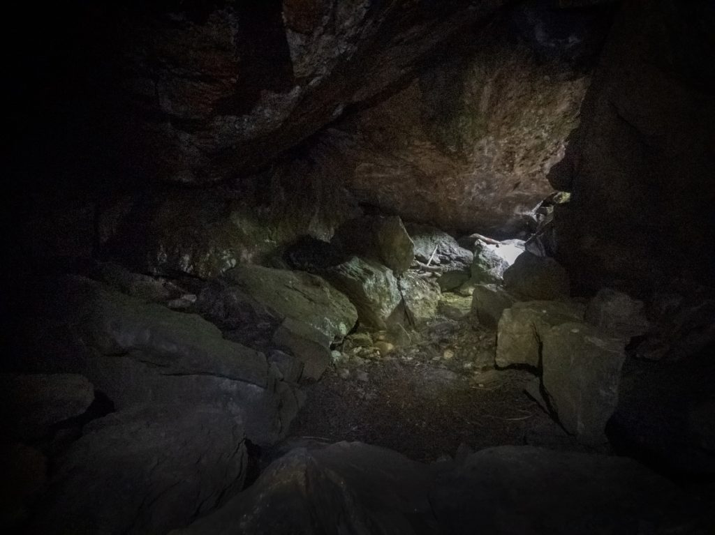
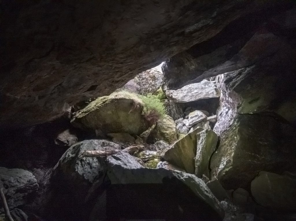
Apart from the wood there were a few other odds n sods of human use – candles, an old empty bottle. There were some gaps at the back that had air blowing through and might have had more hidden, that I might have tried a squeeze through if not alone. With time ticking though it was time to climb out and leave the ghosts behind.
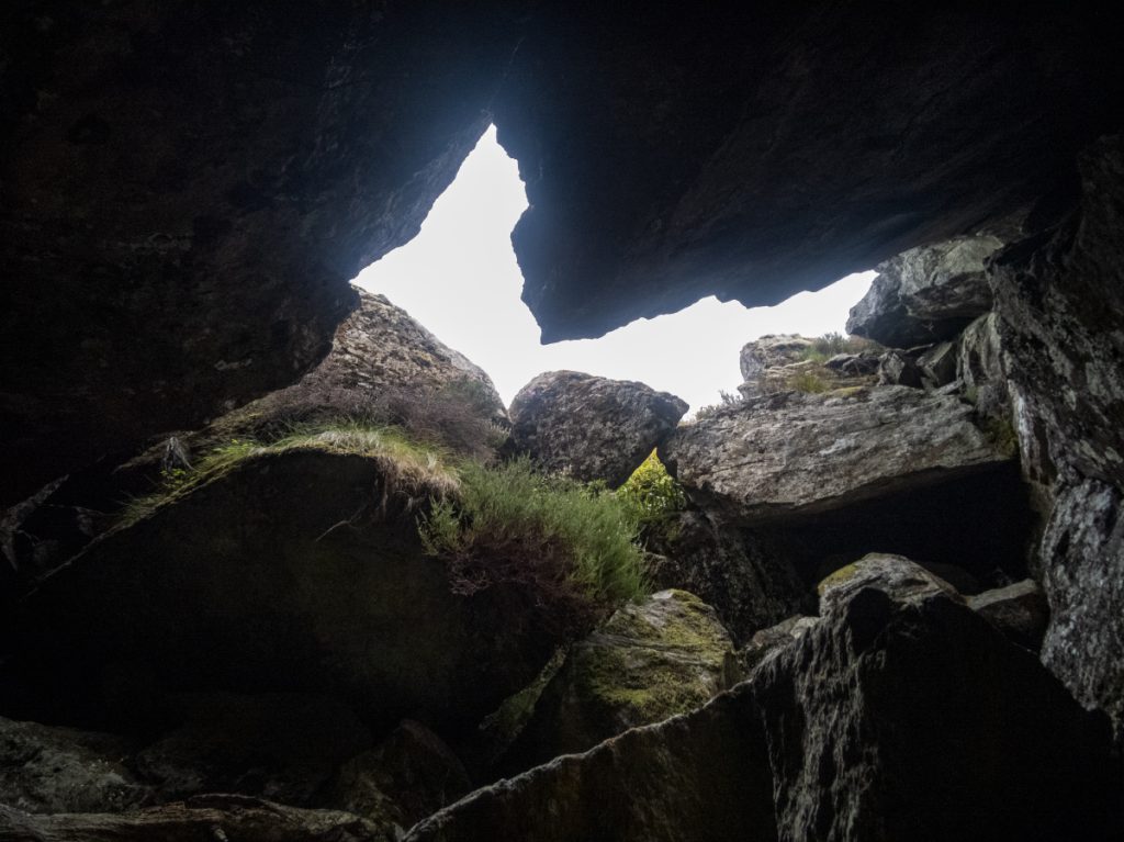
Once out, I took a few photos looking back.
If you want to find it – rather than following my wandering past the loch, the following instructions will provide a more direct and easier way where you’re facing it from a small rise when getting near.
From the lower shank of inchgrundle, a track (not on OS maps) splits off and heads down from the main ascent track at 4055 7900. Follow this for about 500m, it turns north-west then fizzles out near a stream, then head another 500m @ 275º to a slight rise at 3959 7912.
Look NW. Within 100m at a height of 420m at 3955 7917 is a 12ft high rock topped with heather. The entrance is down to the right below it’s vertical face.
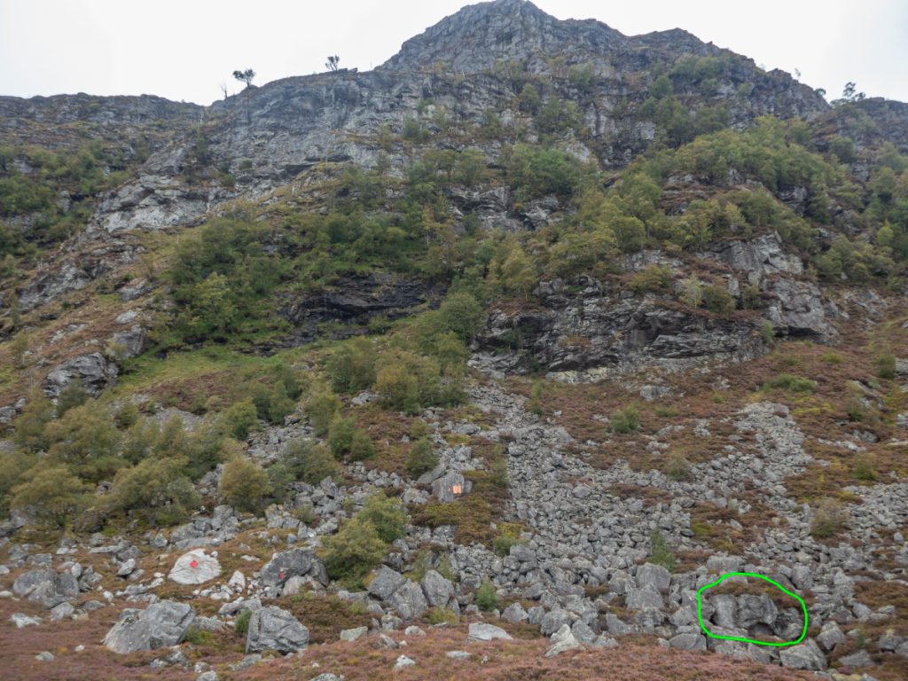
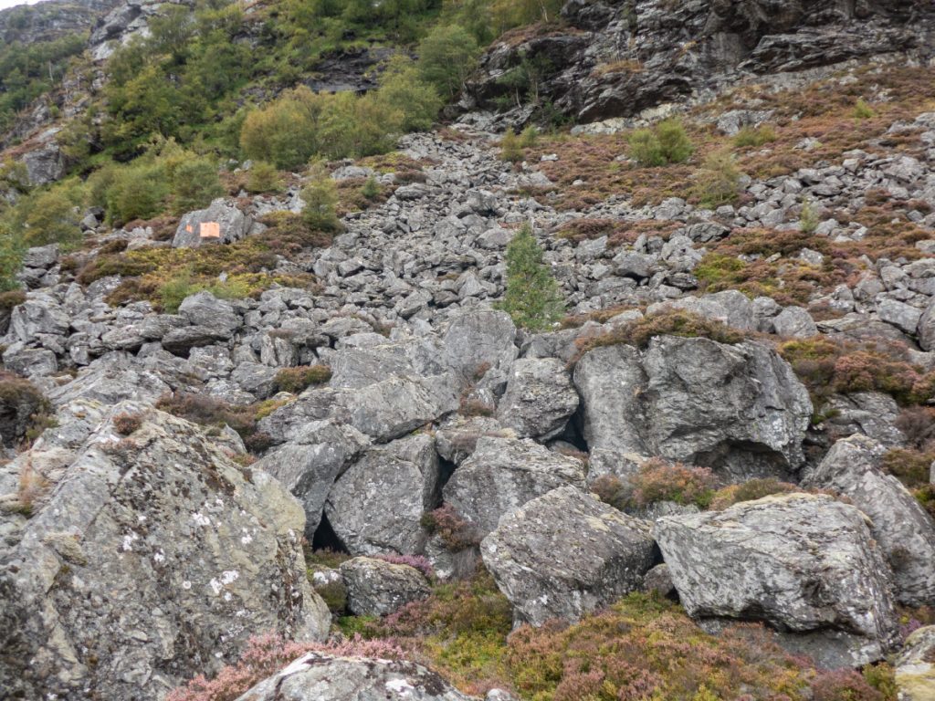
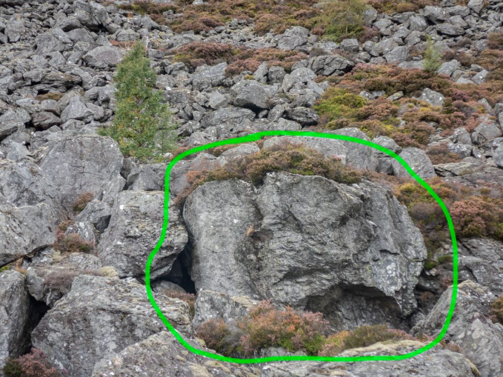
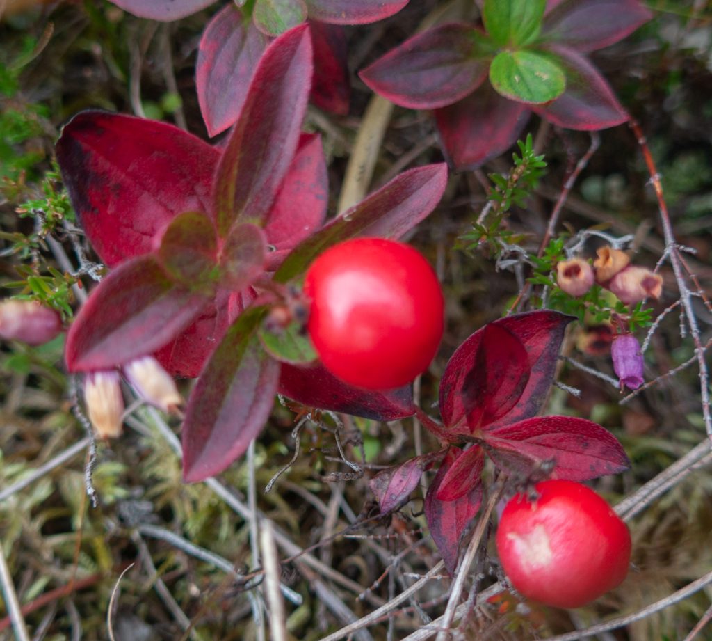
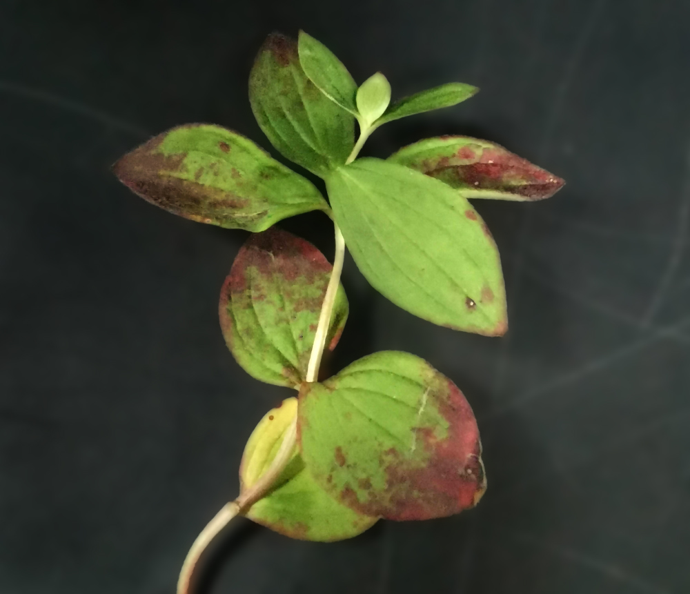
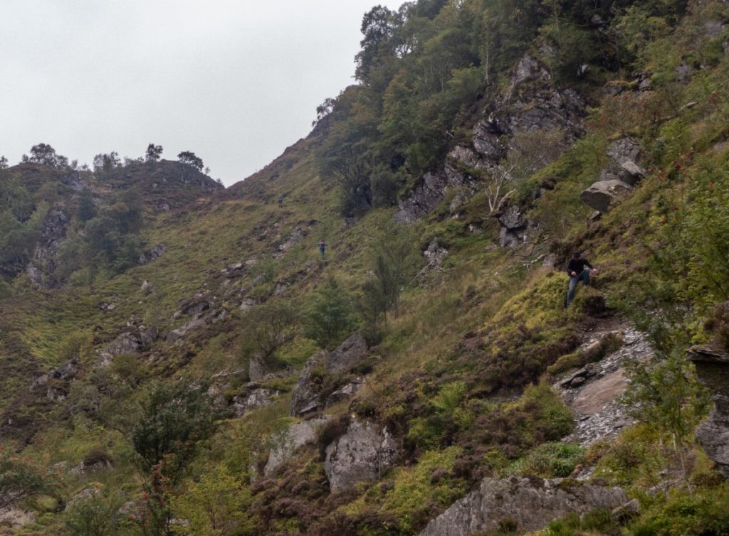
I’d spent more time than expected searching, so I now decided to shortcut up the steep north face of the shank, where a heathery section was between rocky clefts. It got pretty steep and was regretting doing it, with hands grasping thick tufts and feet carefully digging for grip. I stopped to consider the final push, and some berries I’d noticed earlier, at a distance presuming to be cowberries, got a closer inspection. I thought I new all moorland berries, but this was something new, and pocketed a few for later inspection.
Turns out to be the berry of Dwarf Cornell, and is also know as bunchberry. In Gaelic it was known as lus-a-chraois, plant of gluttony as it was supposed to enhance appetite.
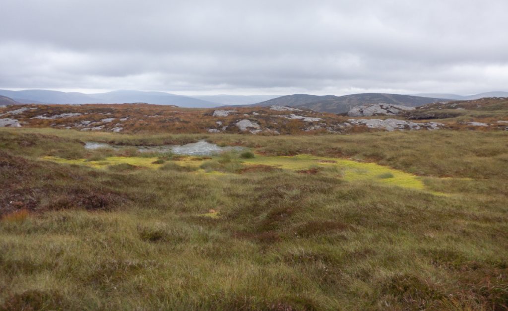
Having made it up the slope and on to the track I found myself surprising some of our party’s ‘back markers’ and chatted along while we made our way to the next hill – Craig Maskeldie, though cutting short through the peat hags and slabs before the top proper to head down to the footbridge over the Water of Unich
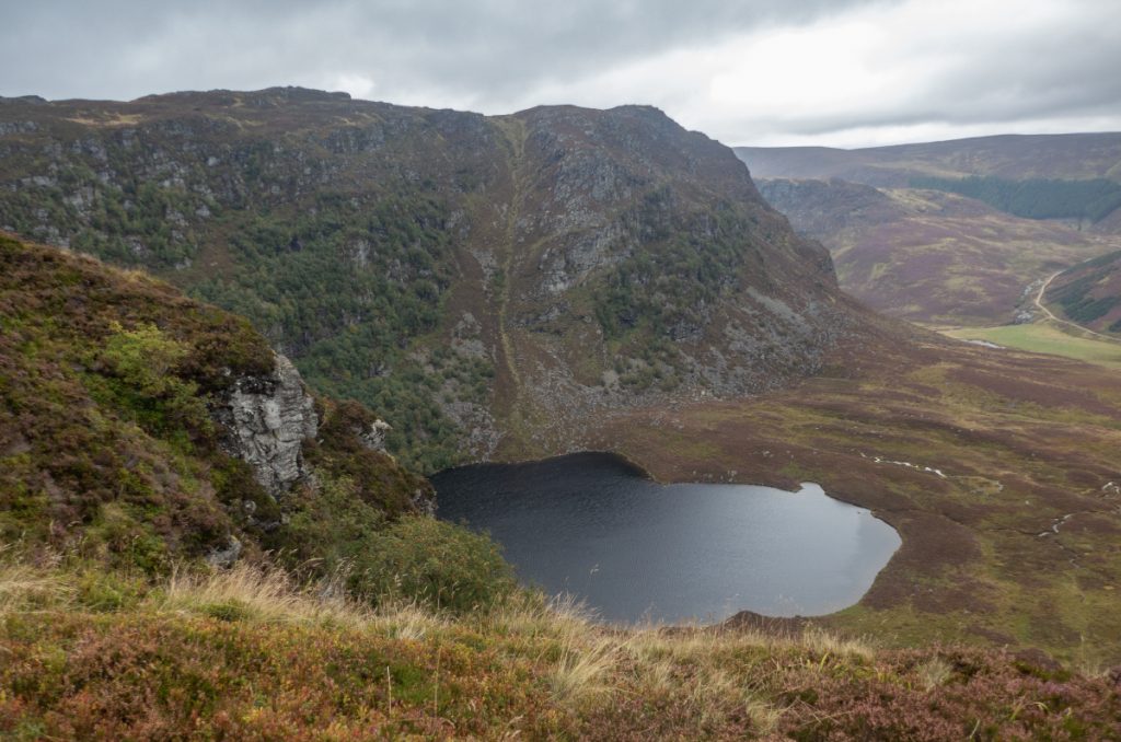
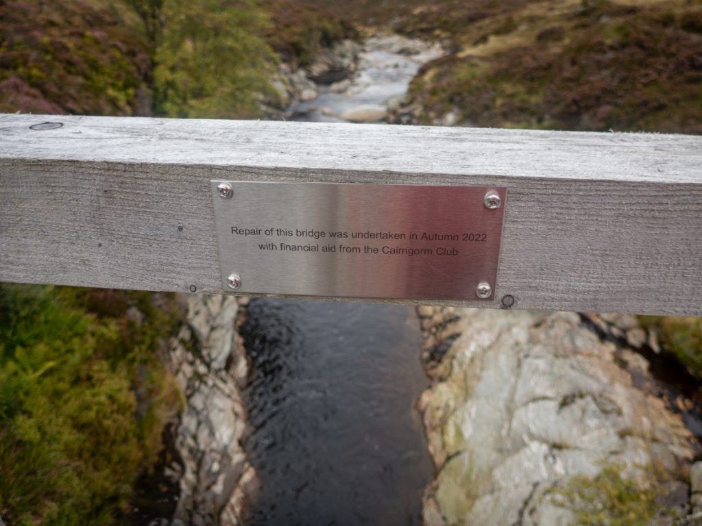
The bridge spans high above what would otherwise be a difficult crossing, and it’s current repaired state is in a small part down to my own efforts. Another Aberdeen hillwalking club had done the route a couple years before, lamenting the dangerous state it was in, with no rails and large gaps. I’d reported this to the Cairngorm Club who have a history of assisting with repair on paths and bridges, and they contacted the estate and put a donation towards the repair. Looking down from above, I was glad that having seen the state of the bridge before repair I didn’t have to brave a teetering crossing.
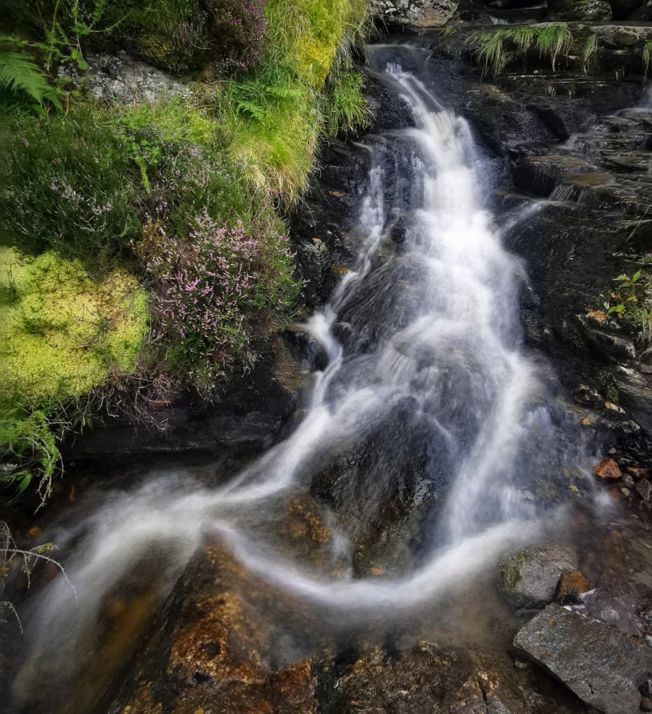
Blethering with other as we headed down I entirely forgot the falls of Damff that lie below the bridge (though the viewpoint is above them so a good photo really requires making one’s way down the west bank carefully). By the time I realised I was too far down, and ach, there’s another waterfall further down. The autumn tinges made the gorge look great.
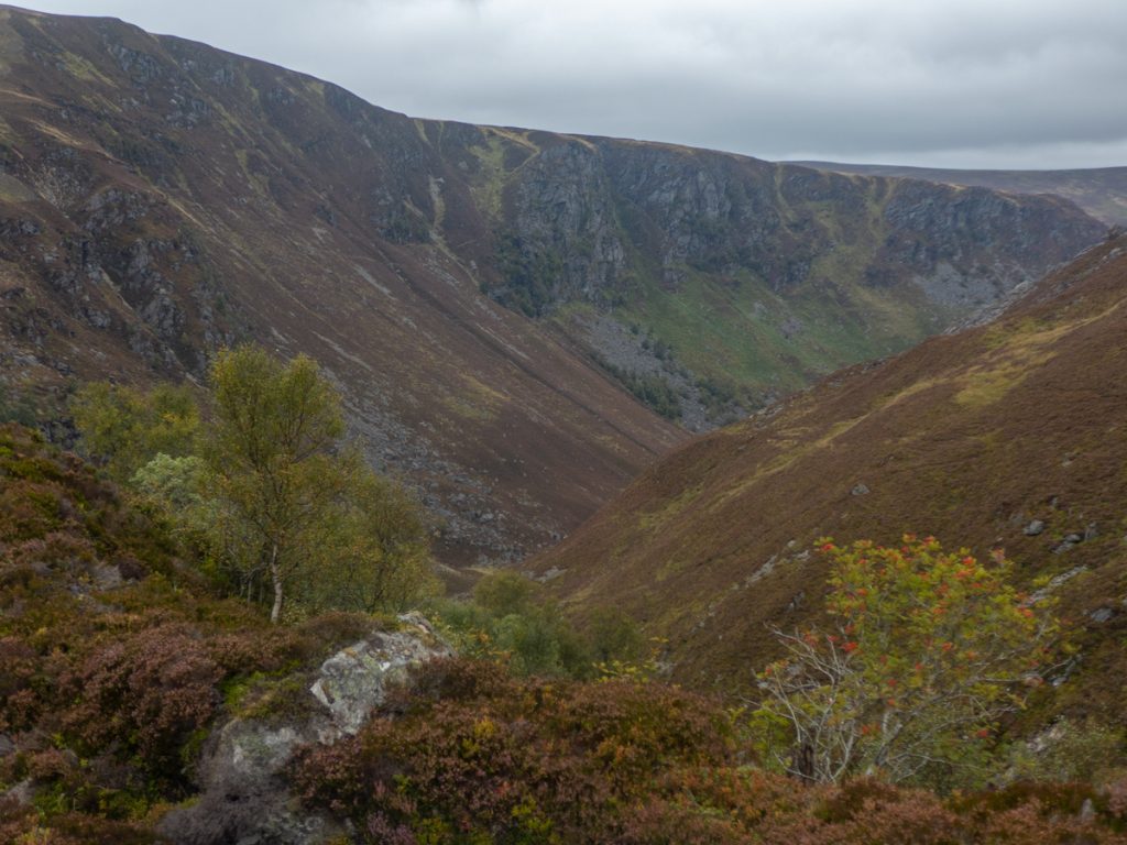
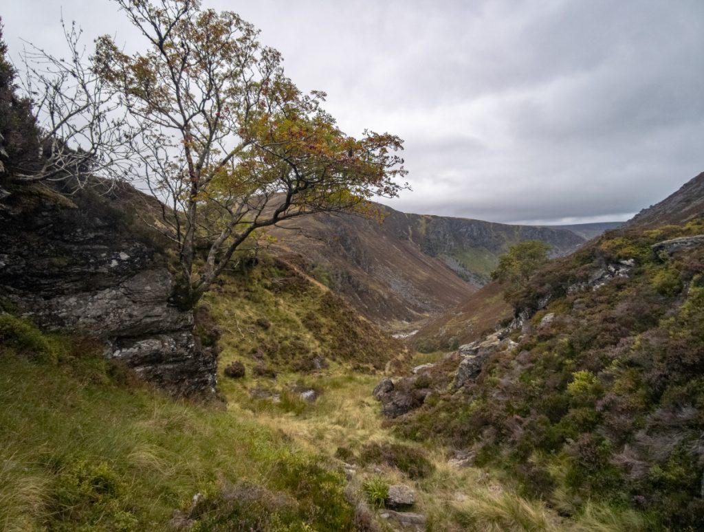
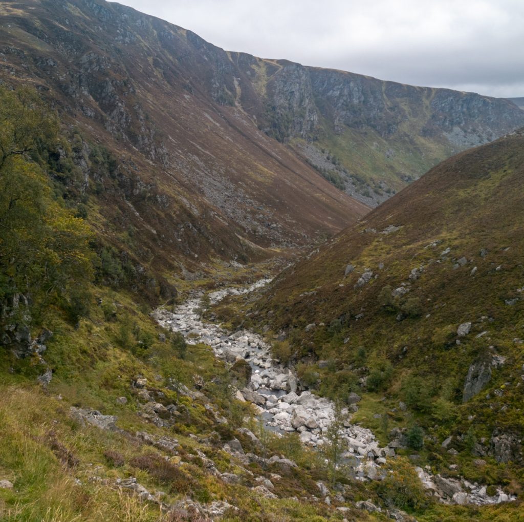
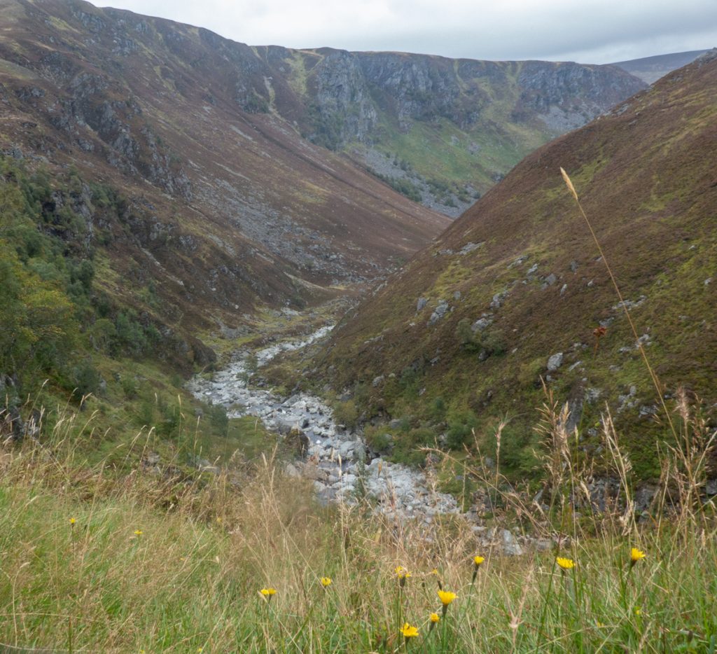
The path is quite scritchy, loose and steep in descent in places, and a flood has washed a bit out. I’ve not been here in winter but it’d require some care once iced or snow covered.
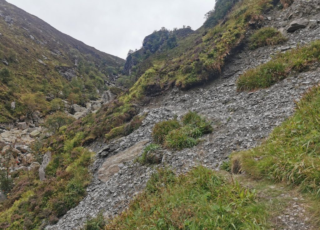
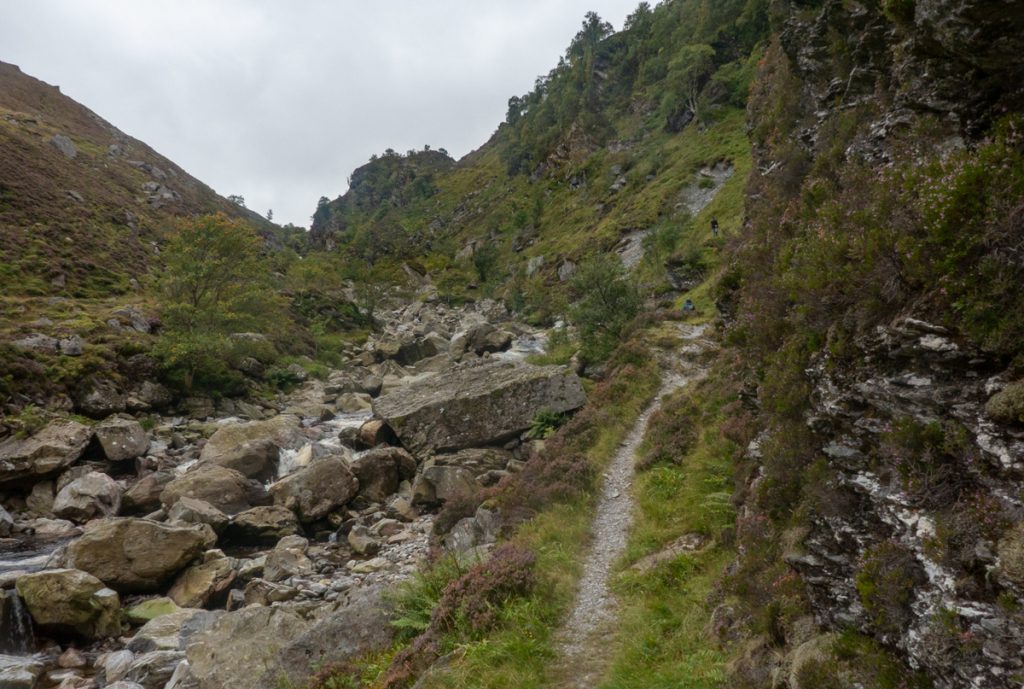
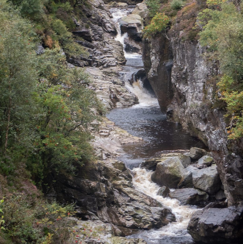
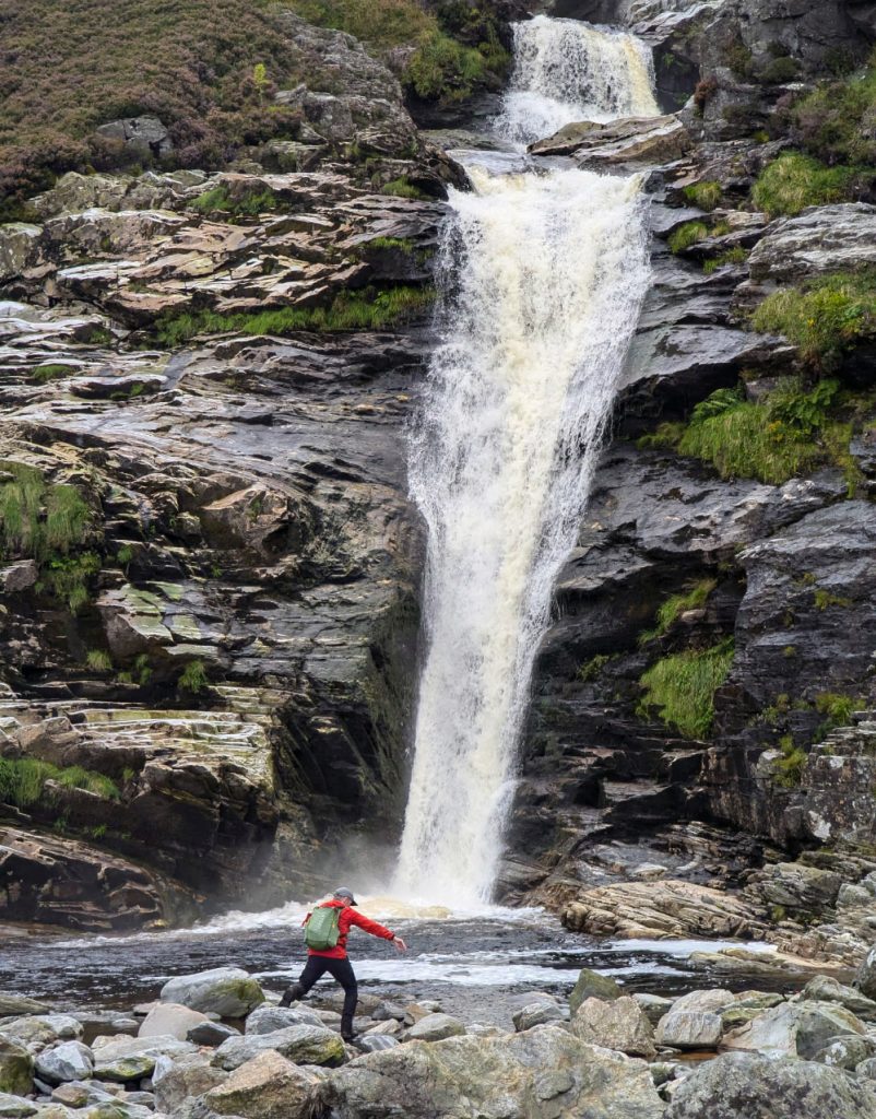
I arrived at the Falls of Unich and thought I’d better make the most of this one, with the phone’s ‘light painting’ mode allowing for some foamy swirls in the pool eddy. Some judicious rock stepping got some more angles, but I wasn’t going to lunge across a gap to the other side to test that view; one for summer.
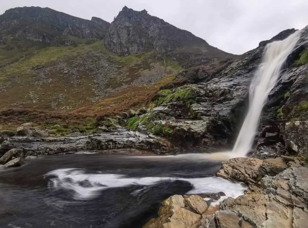
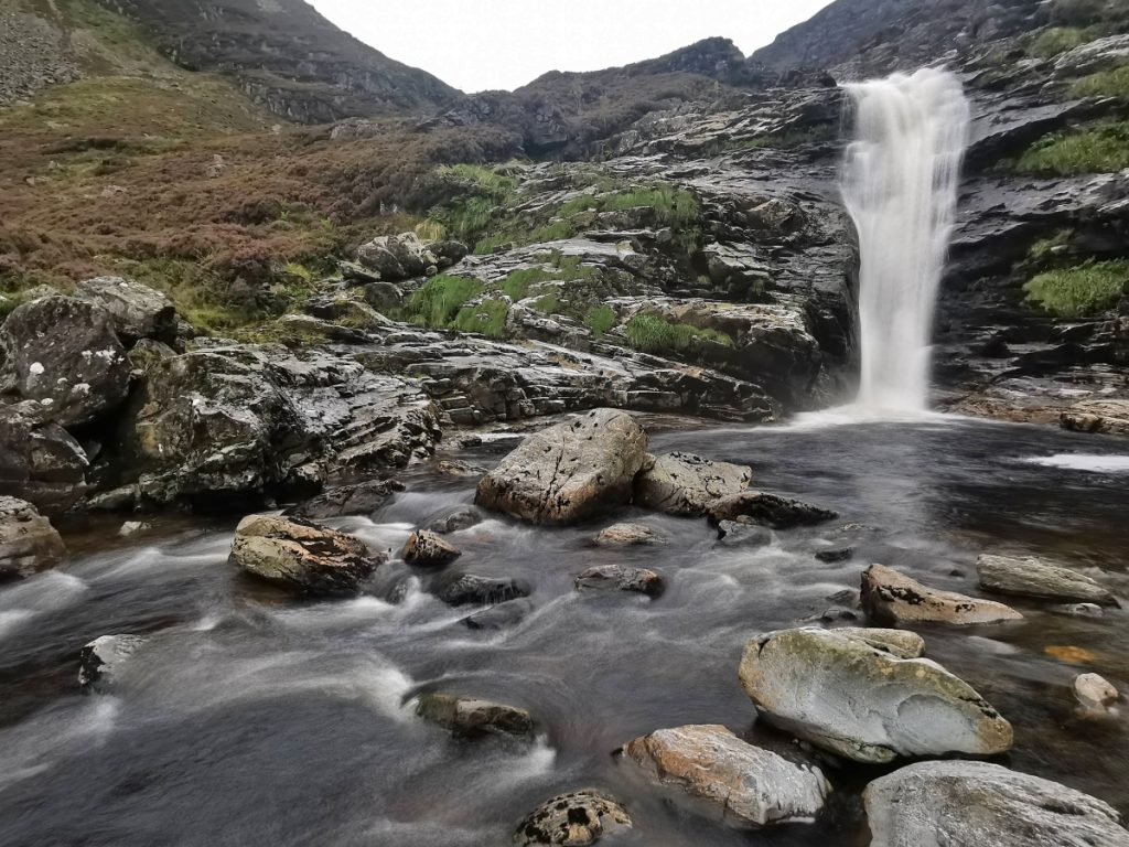
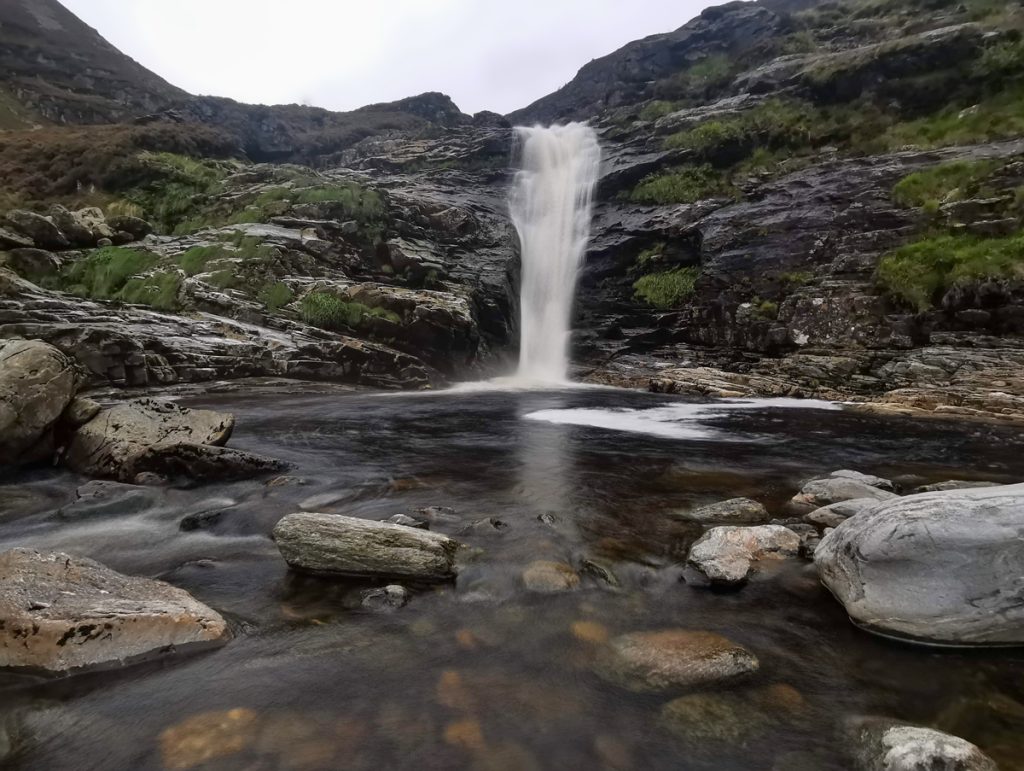
Another walker captured me leaping about and this really captures the scale of the falls better zoomed in from further back.
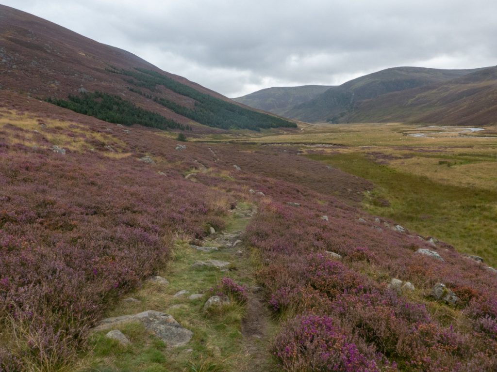
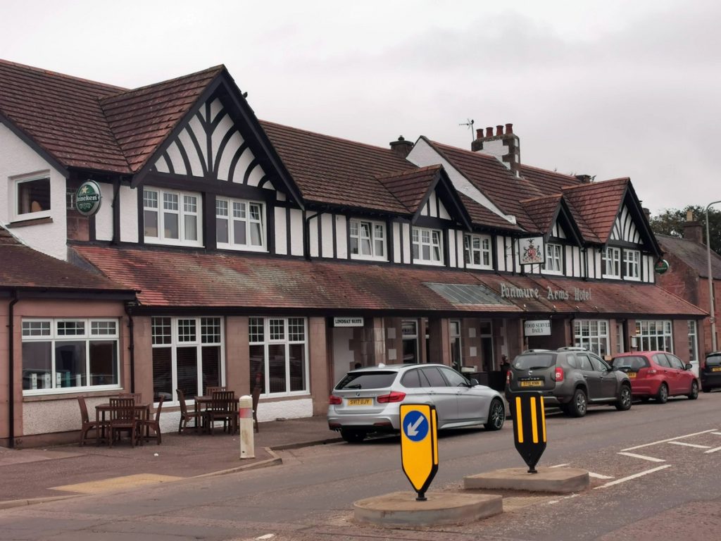
Heading back along the loch, I ended up talking to a chap who turned out to be a professor in computing who knew both about AI and quantum computing, I guess a rare topic of discussion in this glen, and the time passed quickly back to the coach waiting past the castle. Returning via Edzell we got an ale at a good pub there being heading onwards.
